







Winter hike from "Schlüchttal" valley to the heights of Grafenhausen
Úroveň obtížnosti: 2
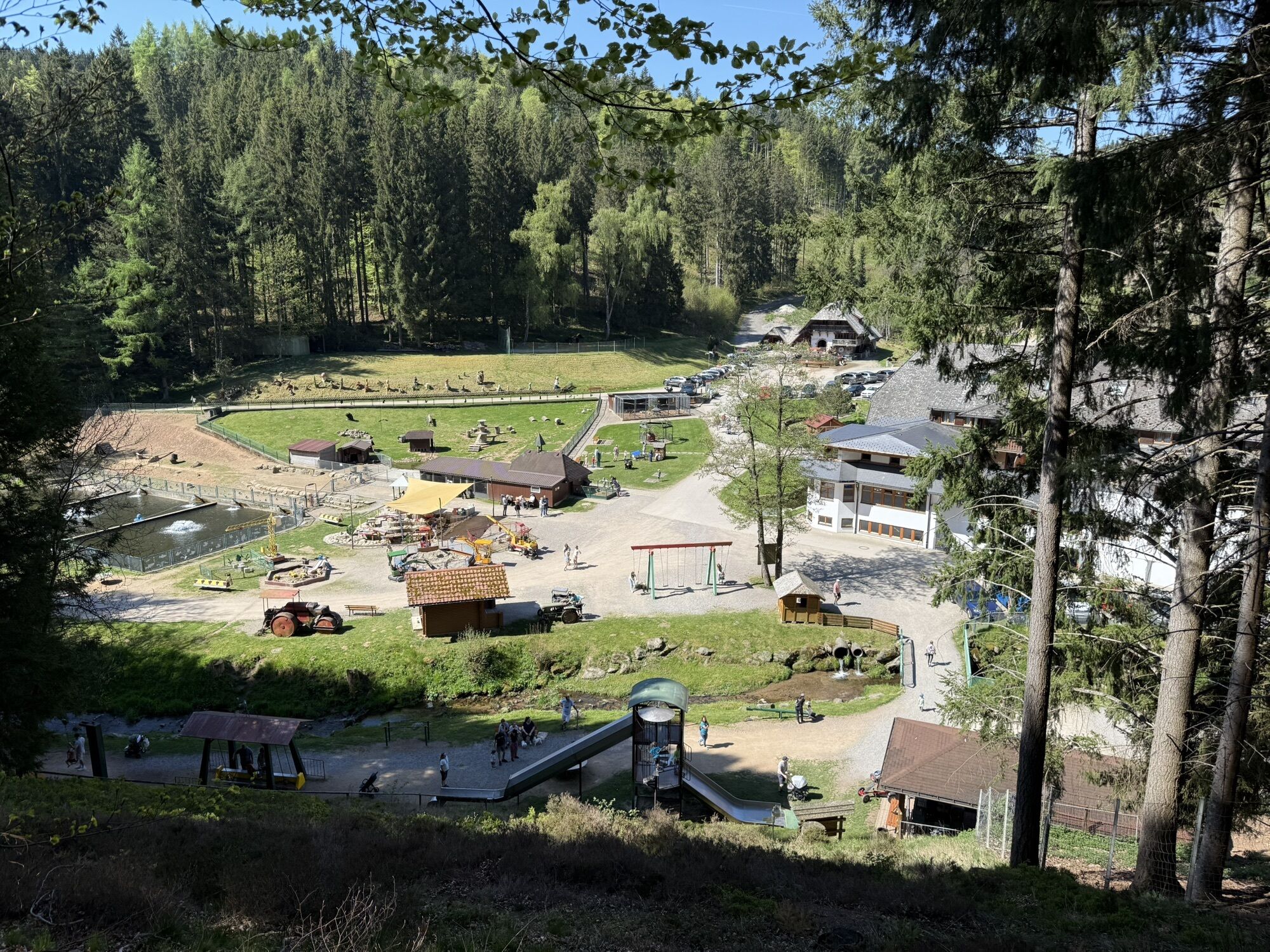
The tour starts at the Tannenmühle site. It is known for its fish farm, the mill museum and the lovely petting zoo.
The trail leads through the village centre of Grafenhausen and along the small Hirschbrunnenbächle...
The tour starts at the Tannenmühle site. It is known for its fish farm, the mill museum and the lovely petting zoo.
The trail leads through the village centre of Grafenhausen and along the small Hirschbrunnenbächle stream down to the Schlüchttal valley.

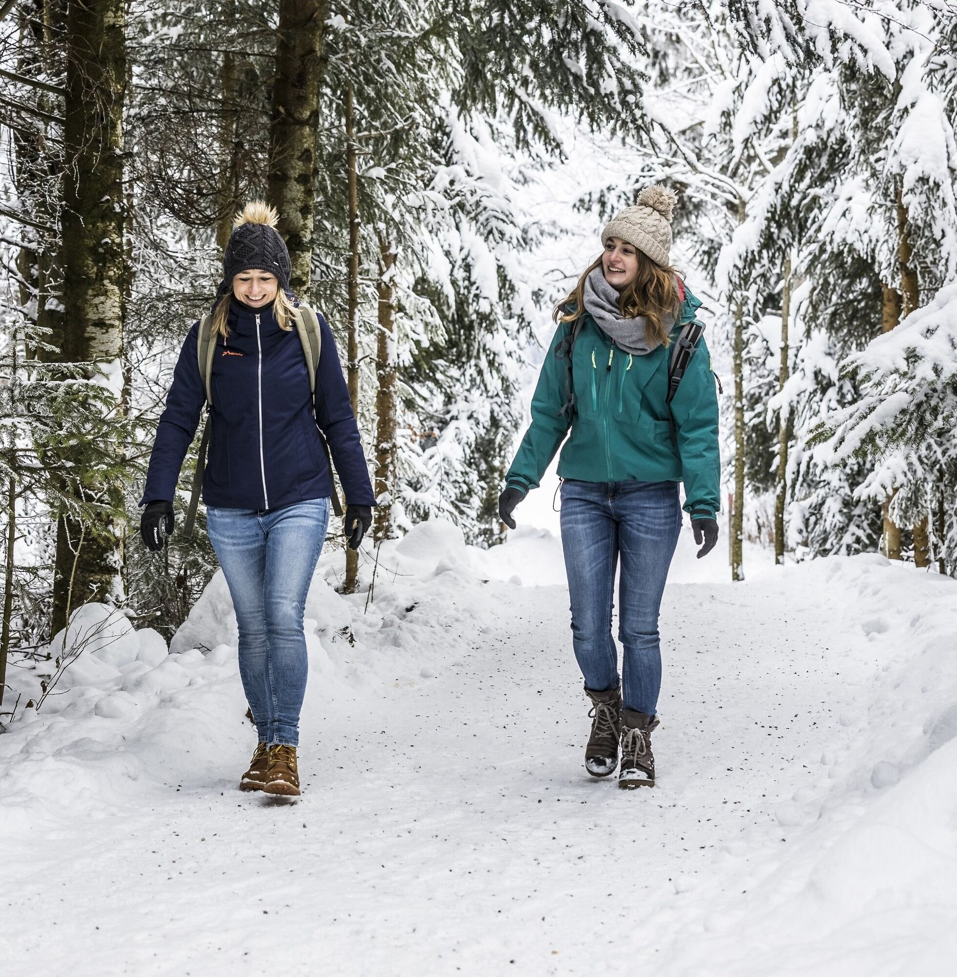
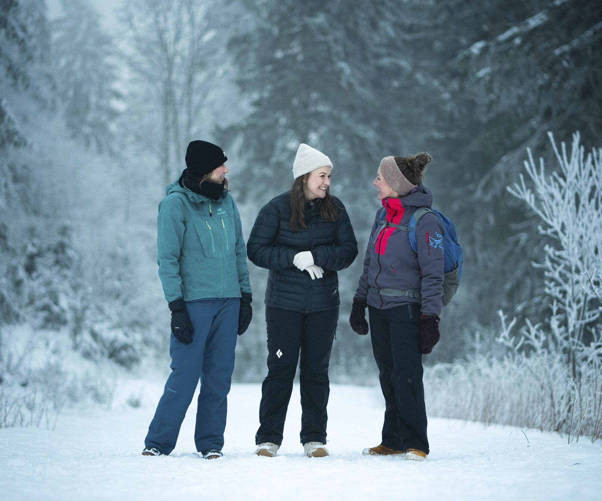

You start your tour at the Tannenmühle site. Passing the replica mill, the route climbs up to the white heights of Grafenhausen. At the next crossing, turn left. You come to Mettenberg. Framed by the Mettma and Schlücht valleys. In the village center, turn left and then right again at the next opportunity. Follow the small stream called Hirschbrunnenbächle down into the Schlüchttal valley. Follow the Schlücht uphill to get back to the starting point.
Ano
We recommend winterproof equipment!
Slippery conditions in thawing weather.
Please pay attention to the signs on the hiking trail and the corresponding walking direction. You can find precise and detailed information about the signposts and the hiking guidance system on our homepage: The hiking ABC (hochschwarzwald.de). In emergencies, please call 112.
Getting to the starting point
Travelling by public transport
2
Restaurants near by and their opening hours can be found under Food & Drink.
The home-bred trout are also prepared in the Tannenmühle. Pure culinary delight.
Získejte přehled Vždy živě na místě s více než 9 500 webkamerami. bergfex Jako uživatel Pro si nyní můžete zobrazit odpovídající webové kamery pro mnoho prohlídek v aplikaci prohlídky z. Můžete si tak přímo prohlédnout aktuální podmínky. Oblíbené prohlídky v okolí
- 4.7
Wutachschlucht Rundwanderung im Süd Schwarzwald
středníTuristika 9.76 km - 5.0
Wutachschlucht+Lotenbachklamm
světloTuristika 10.0 km - 4.7
Seerundweg Schluchsee
středníTuristika 17.7 km - 4.0
Gorges, climbs and culture
středníTuristika 12.1 km - 3.5
Premium Hiking Trail - Rappenfelsensteig
středníTematická stezka 12.9 km - 4.5
Premium Hiking Trail - Rötenbach Gorge
středníTematická stezka 10.1 km - 5.0
Premium Hiking Trail - Schluchseer Jägersteig
středníTematická stezka 11.5 km - 5.0
Berau - ruins, rocks & gorges
středníTuristika 9.68 km - 4.4
Wutach, Deutschland
středníTuristika 14.6 km - 5.0
Schluchsee tour for families
světloJízda na kole 17.8 km
Pěší turistika a stopování


Nenechte si ujít nabídky a inspiraci pro vaši příští dovolenou
Vaše e-mailová adresa byl přidán do poštovního seznamu.





