







Premium Hiking Trail - Rappenfelsensteig
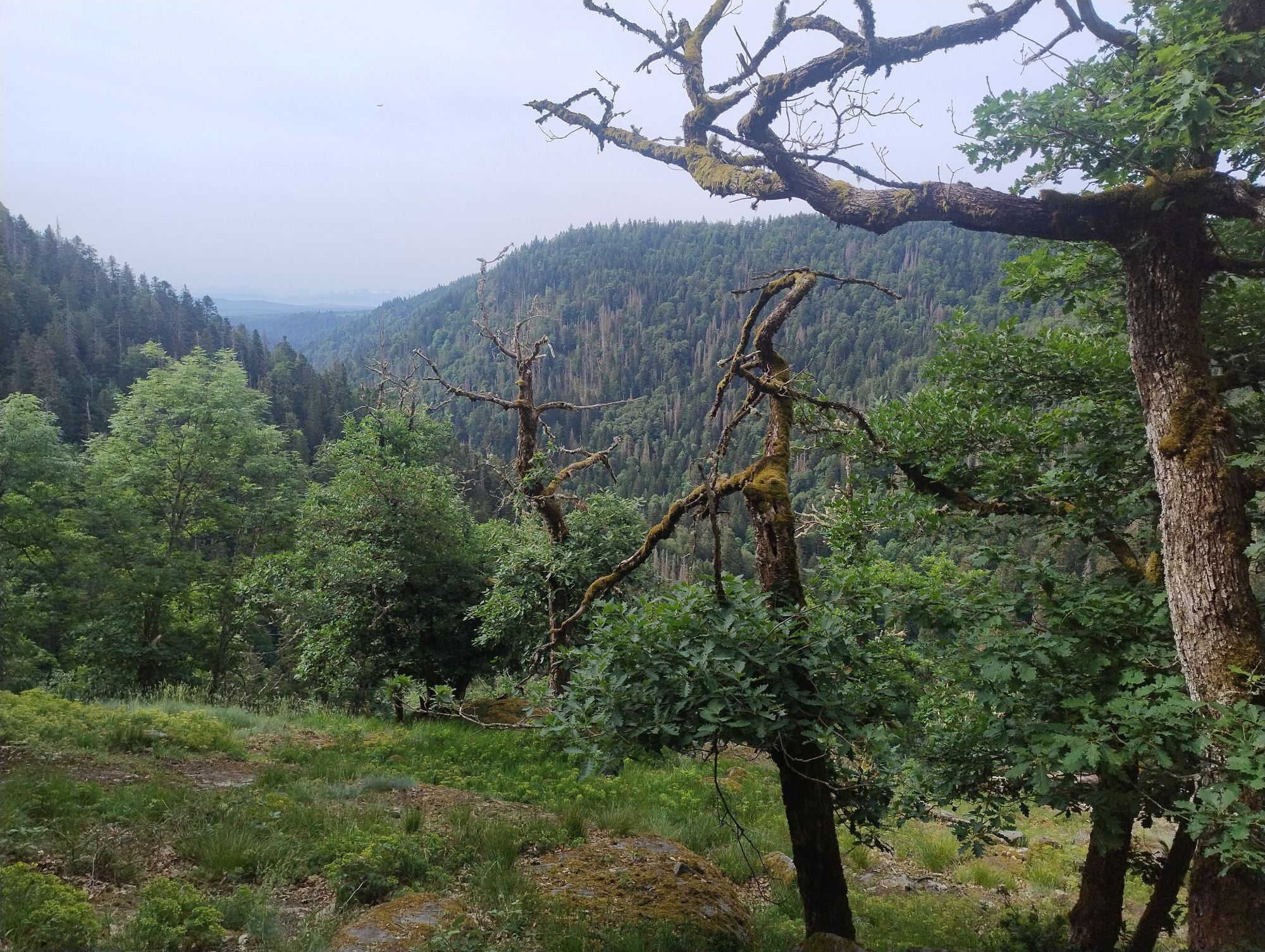
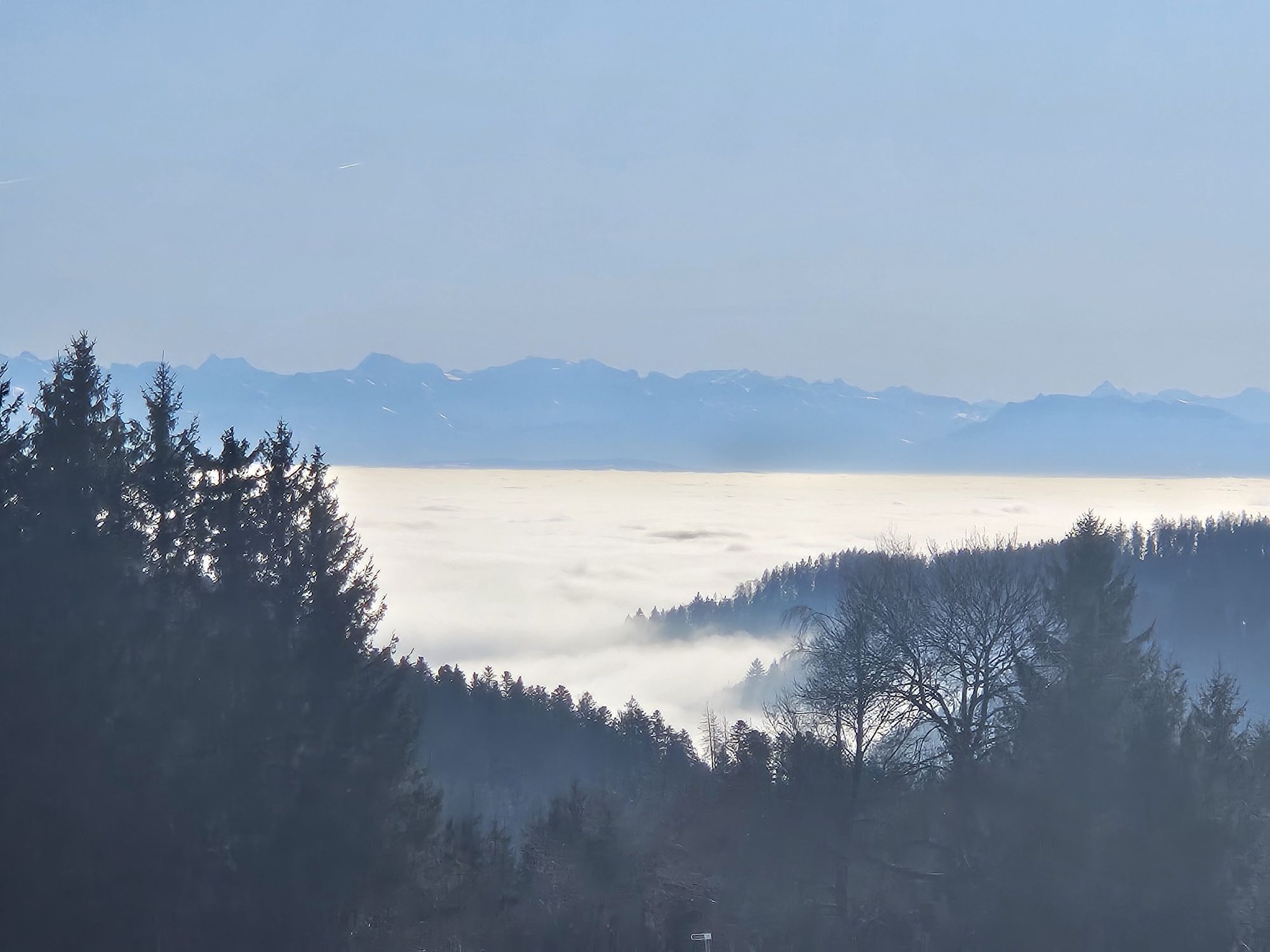
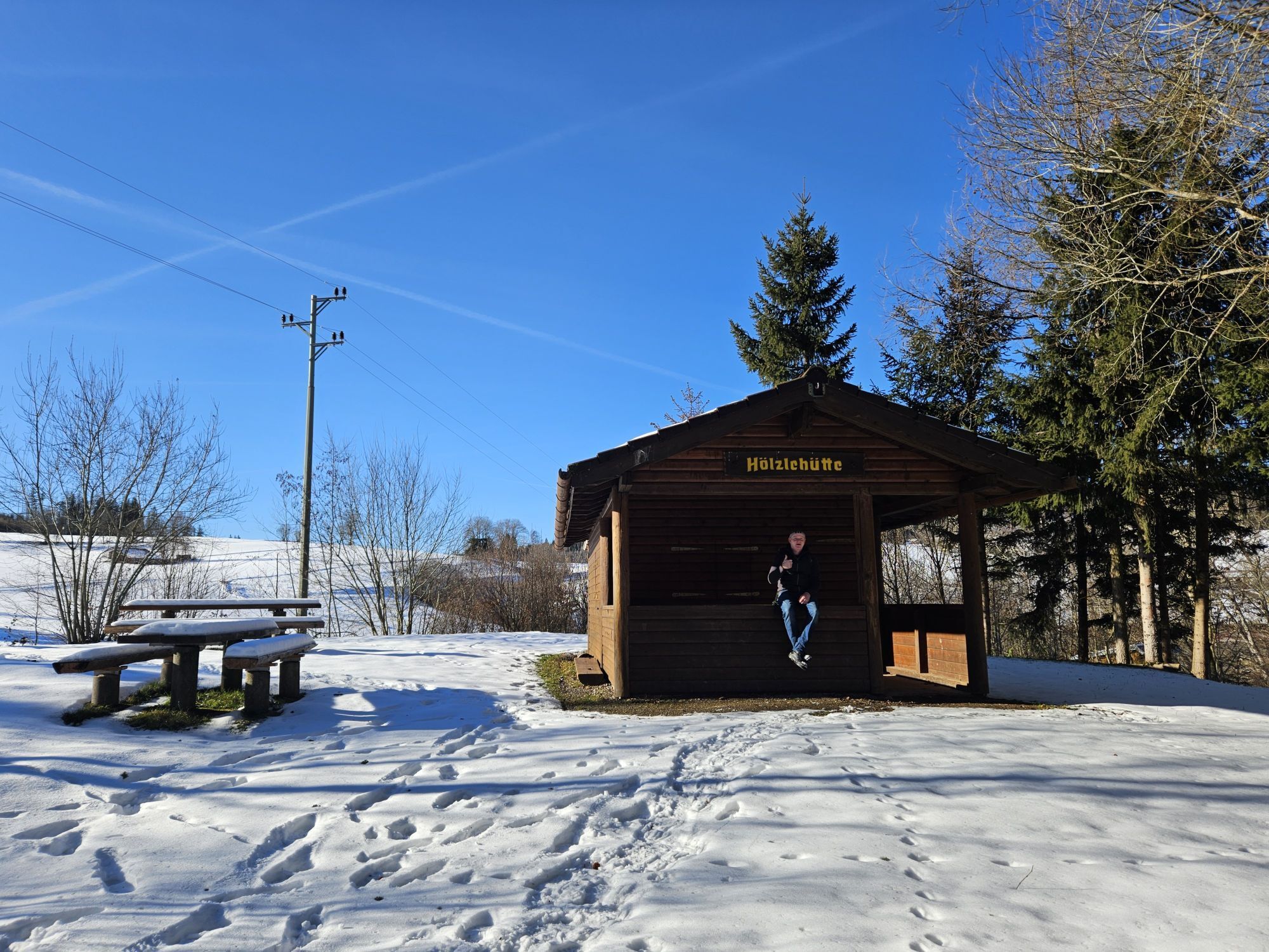
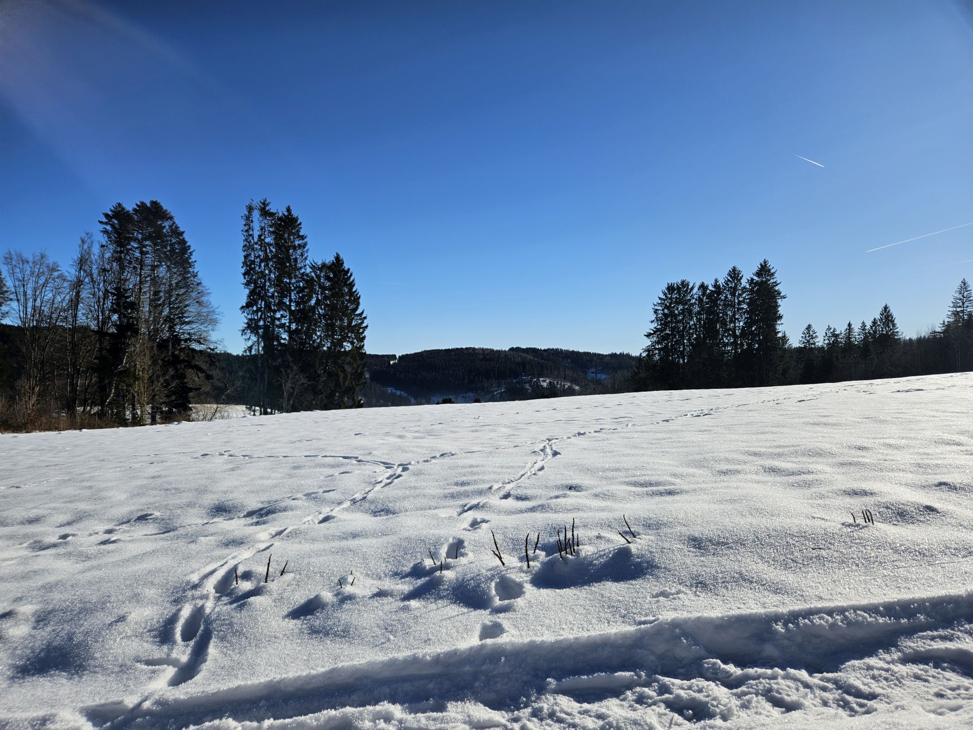
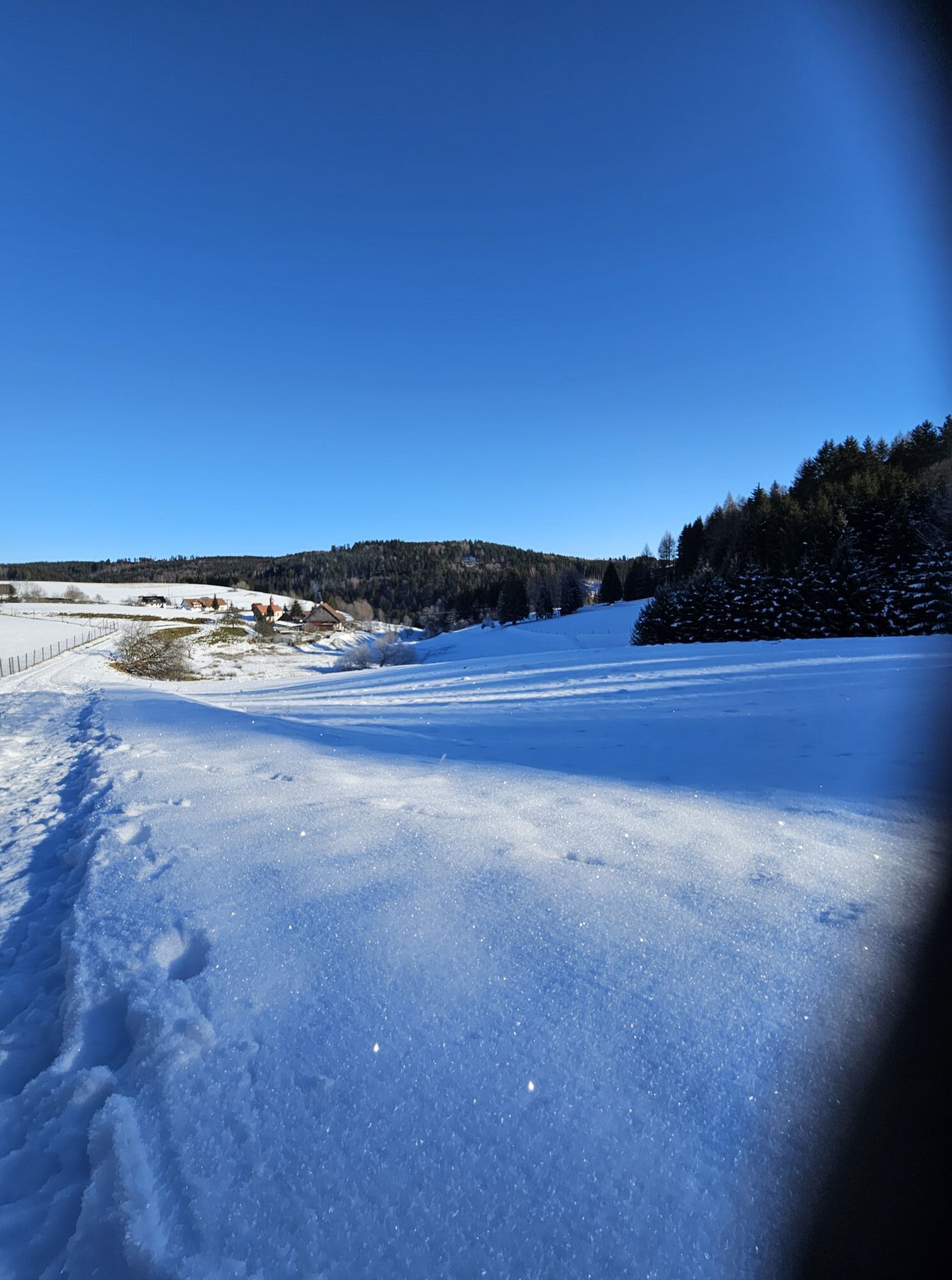
This is how one imagines the ideal Black Forest: A dark, primeval, but always green forest with narrow paths, steep slopes, deep gorges and cascading streams, interspersed with a clear, lazy river in the...
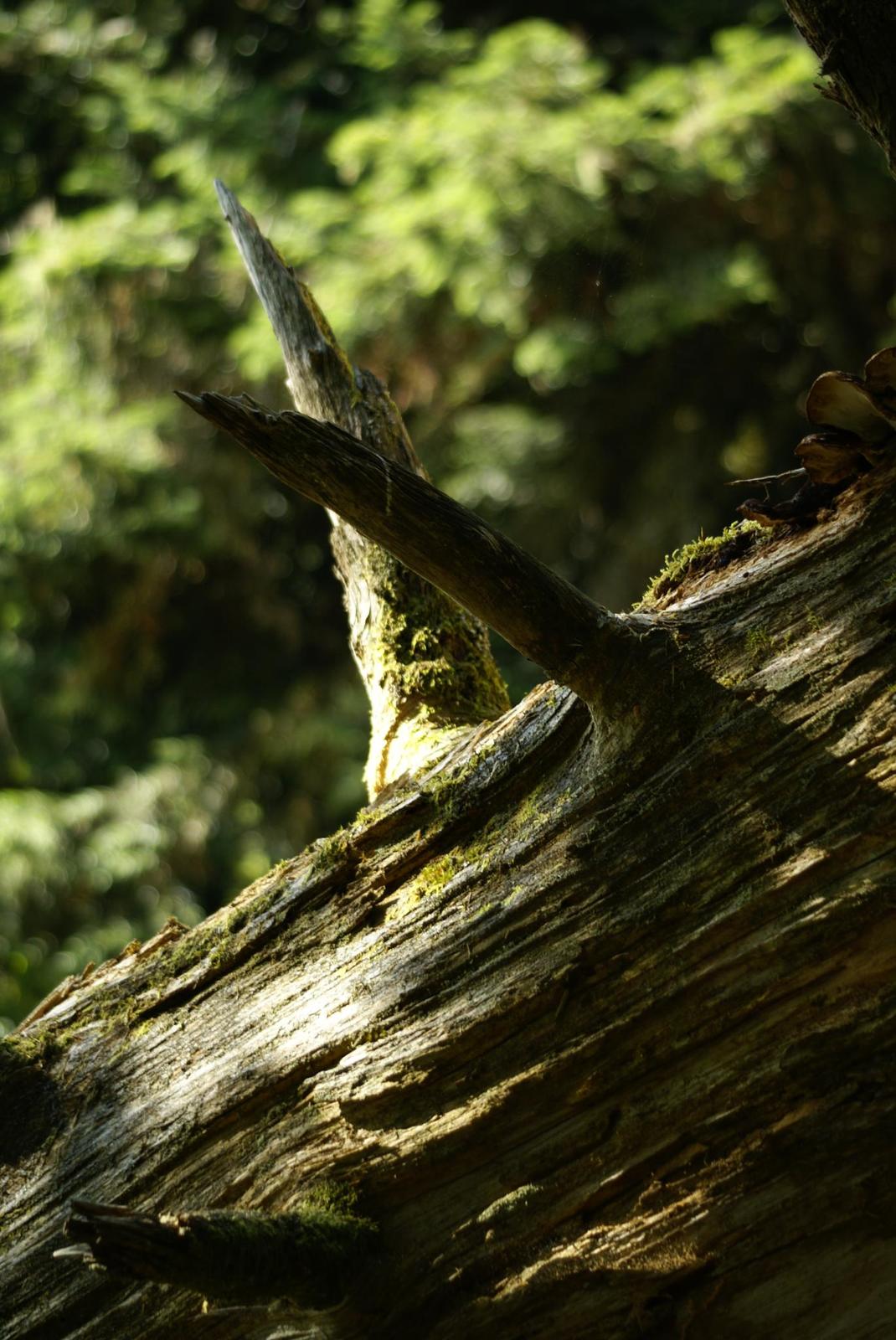
This is how one imagines the ideal Black Forest: A dark, primeval, but always green forest with narrow paths, steep slopes, deep gorges and cascading streams, interspersed with a clear, lazy river in the valley, occasional scenic views of the Tann and, above the gorges, green, rolling meadows with sweeping views of distant forest mountains. This trail has all this to offer, with a strong emphasis on a forest that seems to have grown the way it wanted to for centuries. With trees of all ages in dramatic poses. And as a heavyweight encore, a lush rocky backdrop of boulders and terraces, bizarre rock formations of all sizes and even more dramatic walls and seas of rock - like something out of a Weber or Wagner opera. Anyone who has only ever known the Black Forest as a spruce forest will get an impression of what really makes it famous."- "Hiking Pope" Dr. Rainer Brämer, German Hiking Institute -

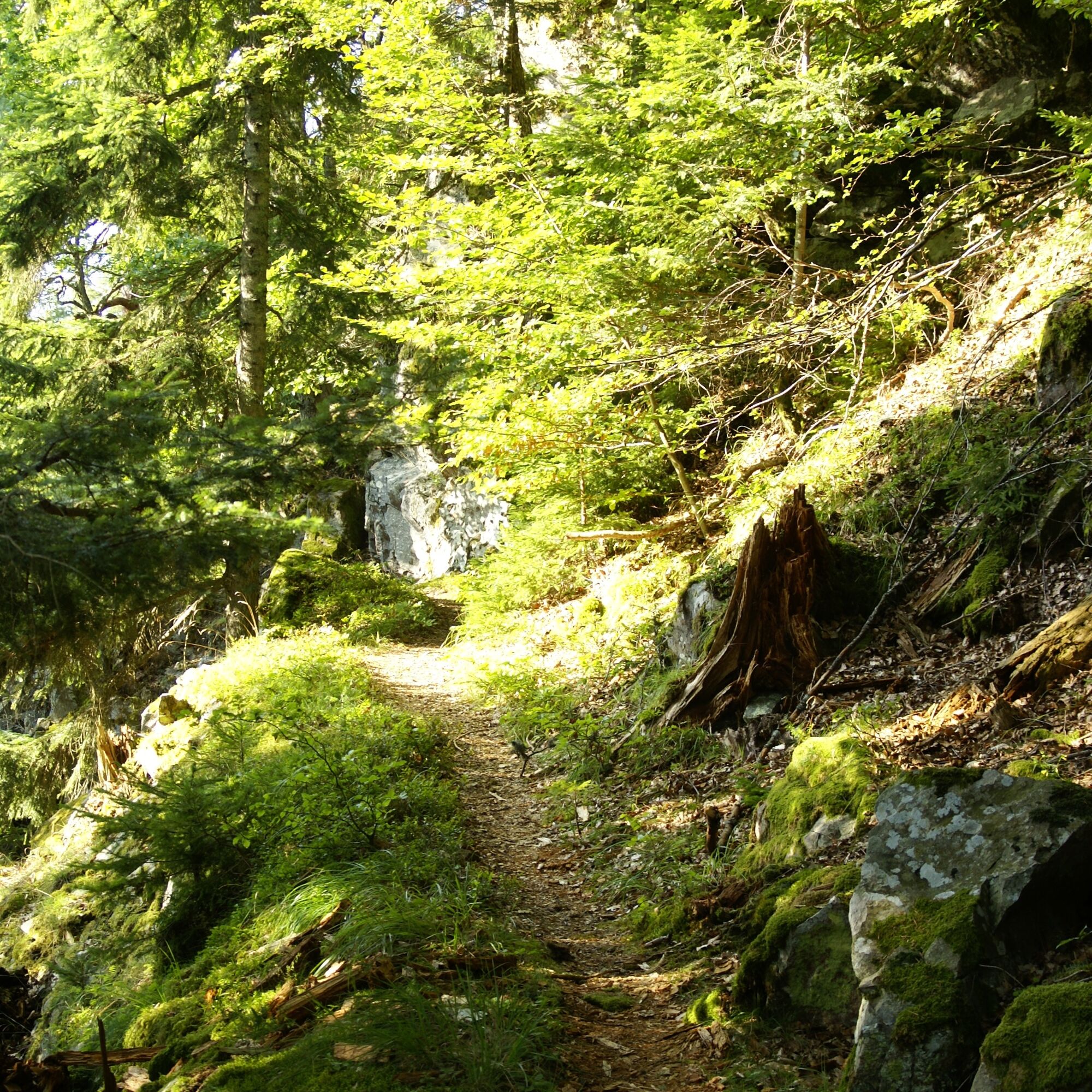
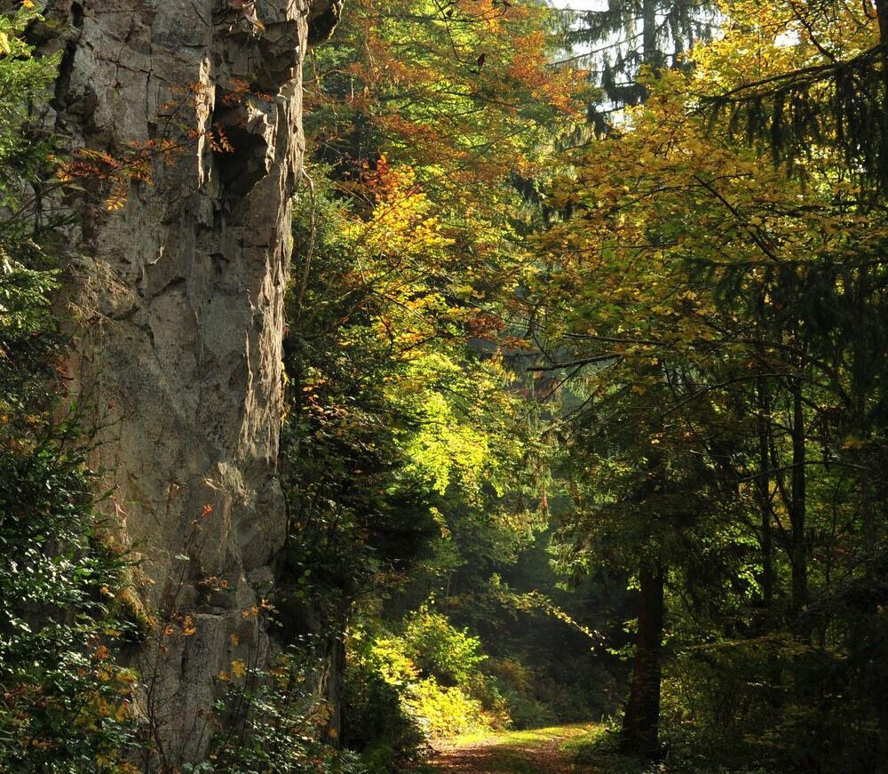
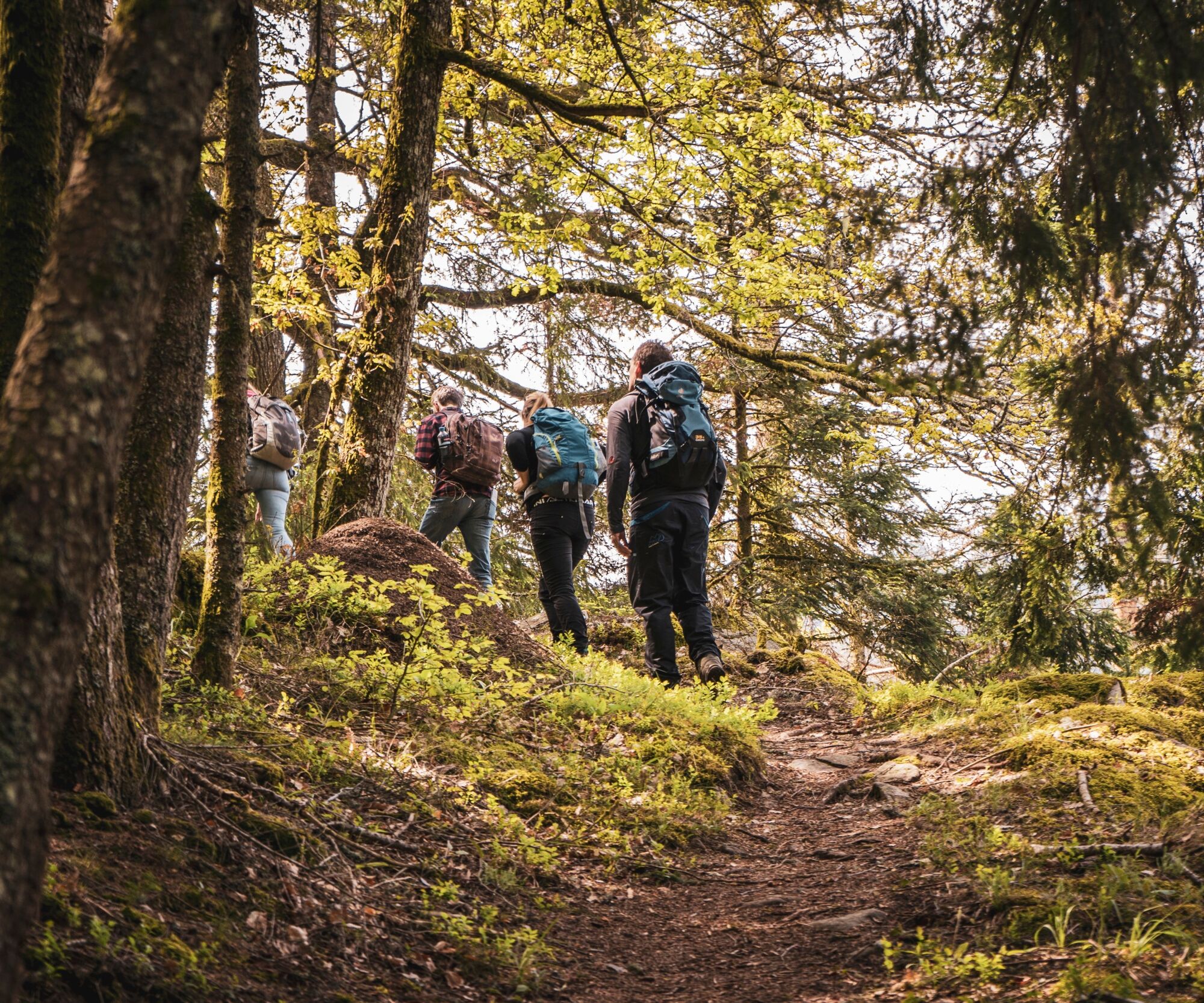
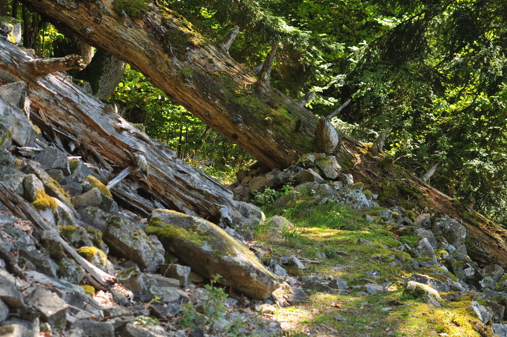
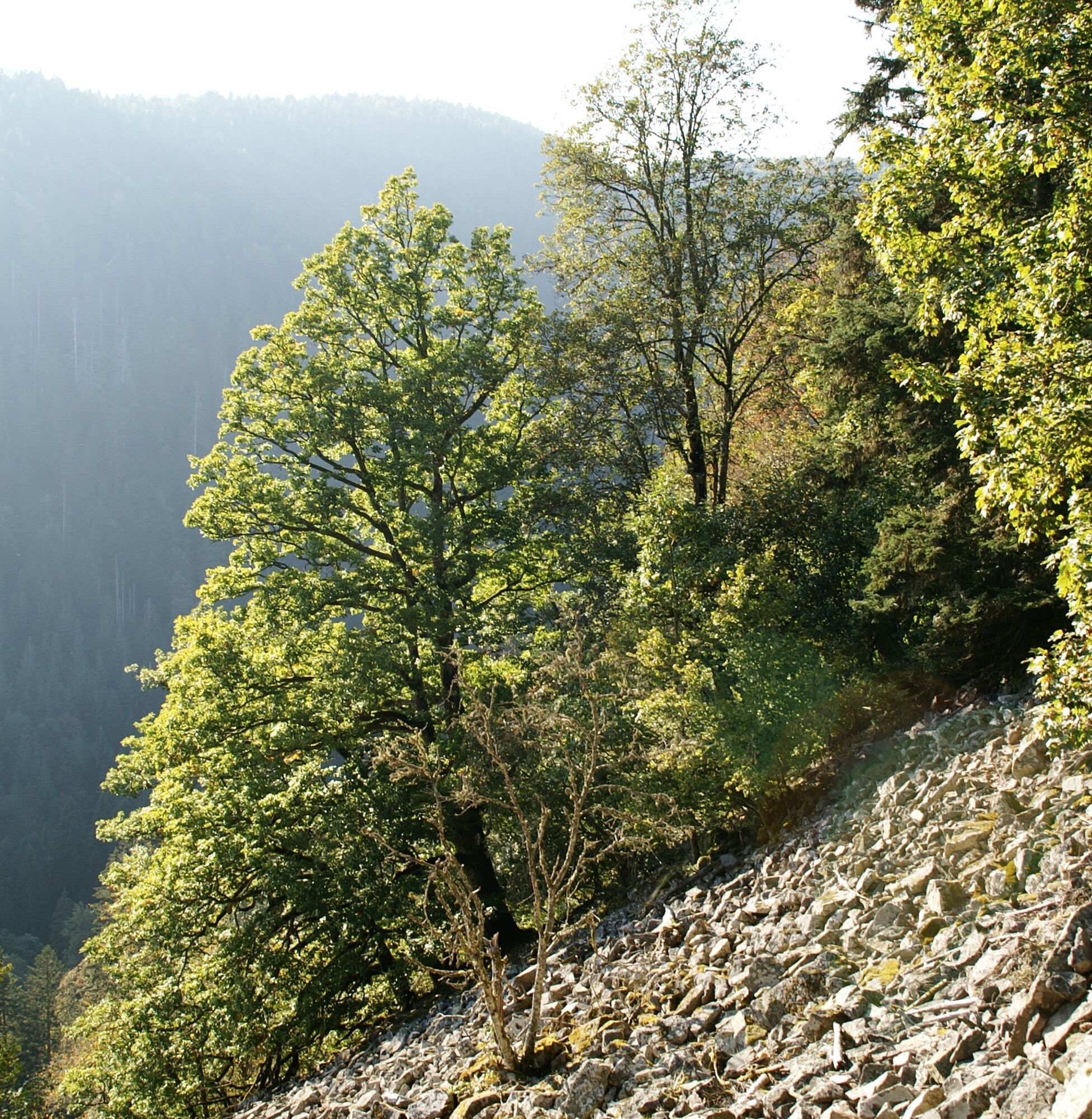
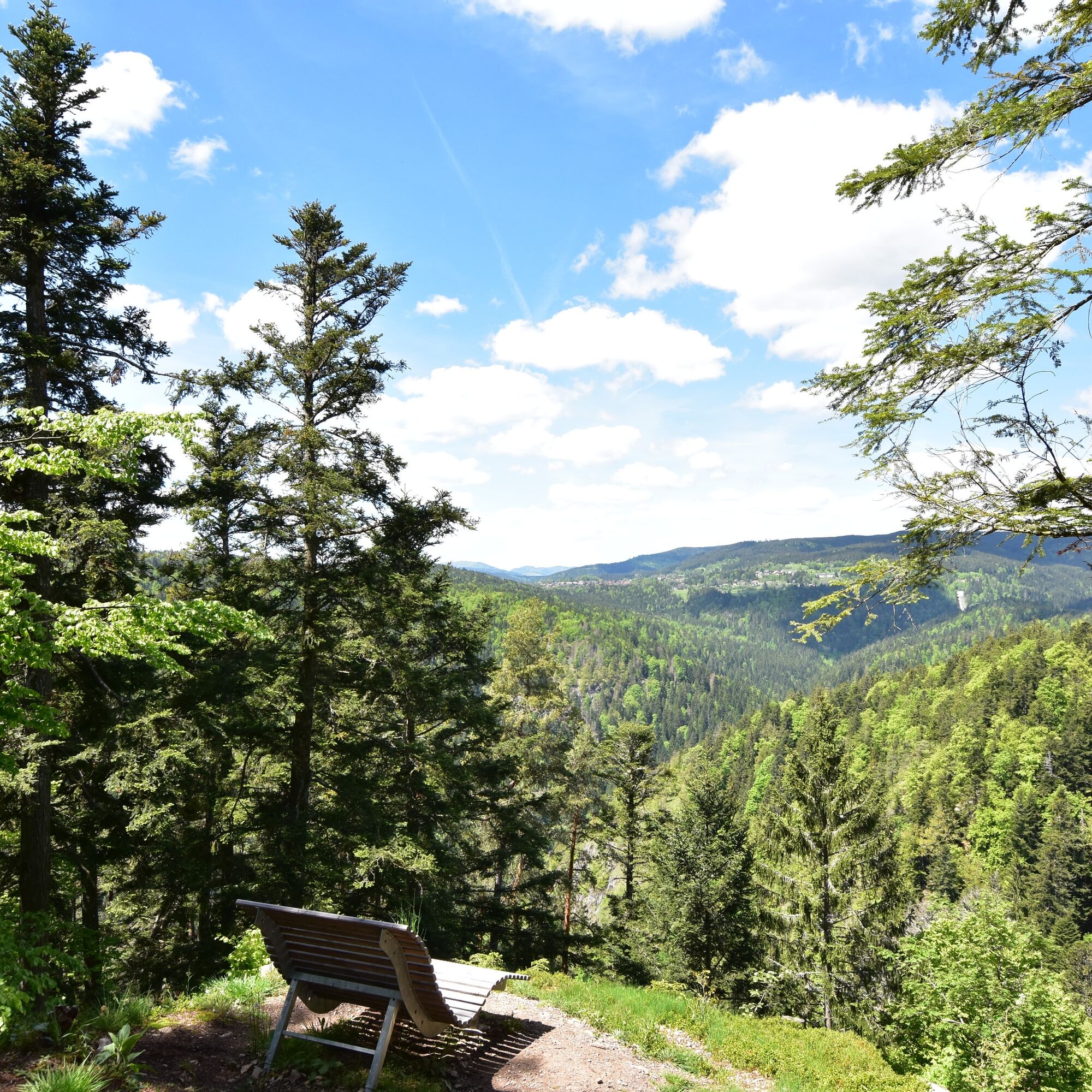
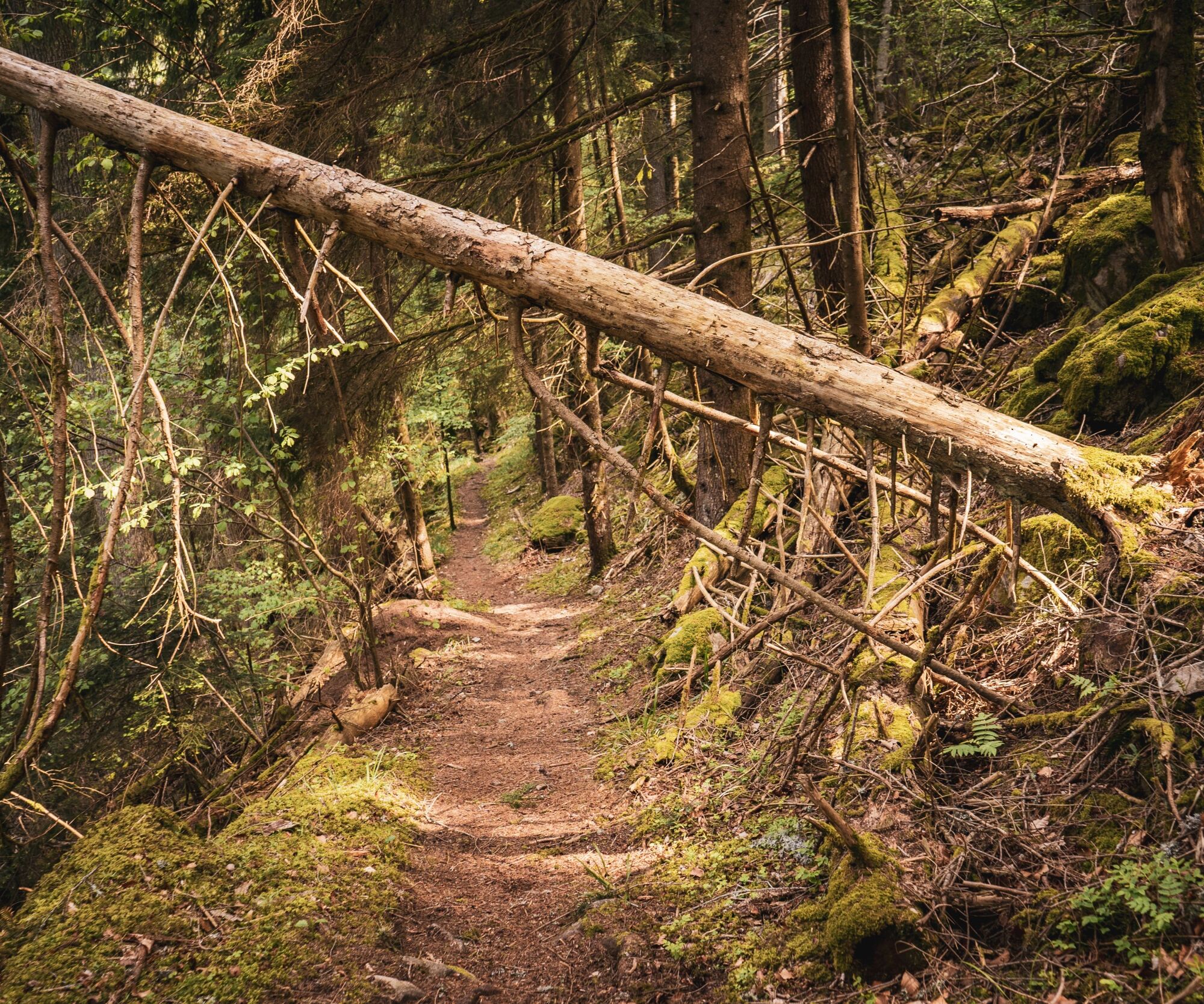

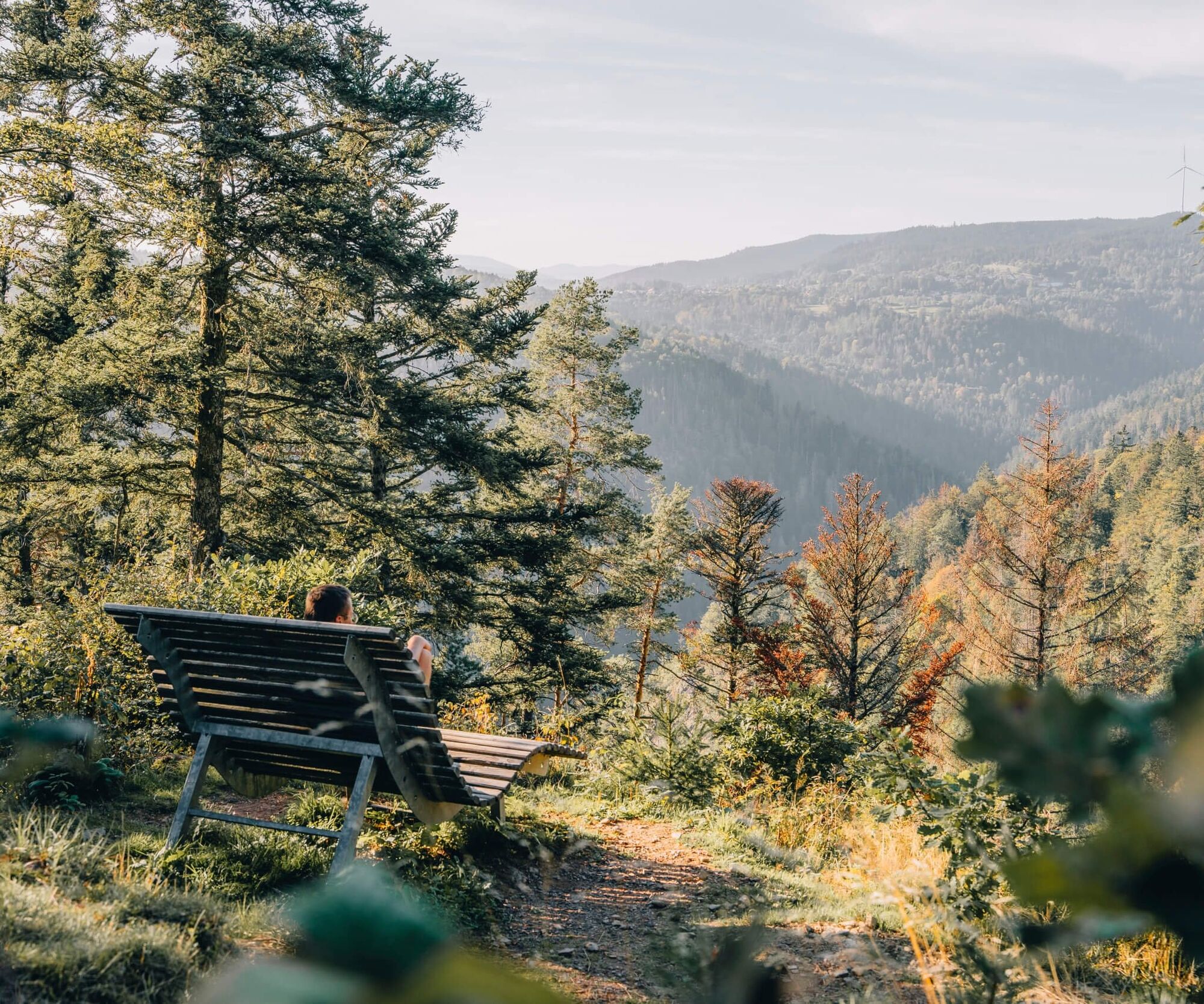
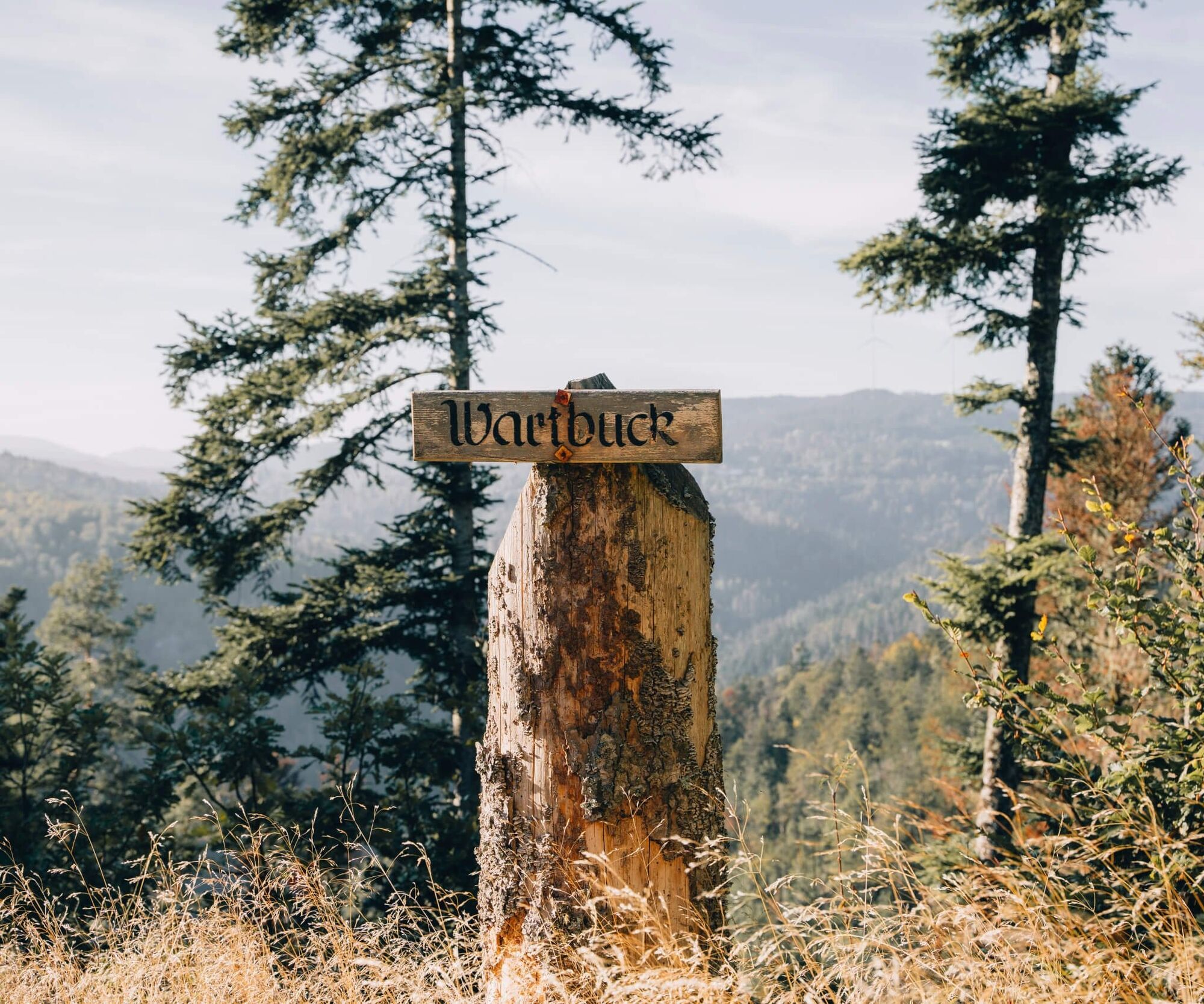
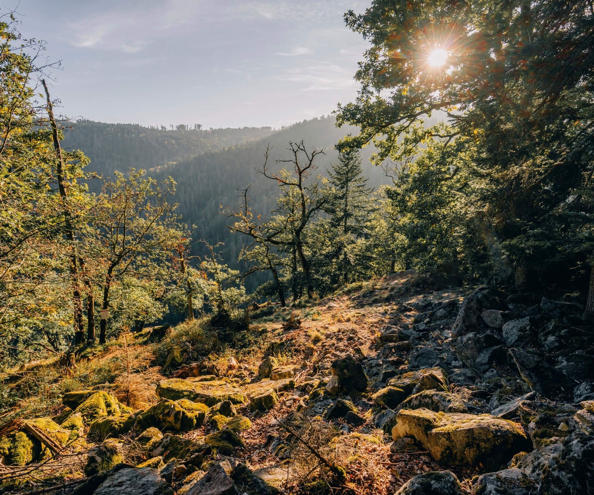
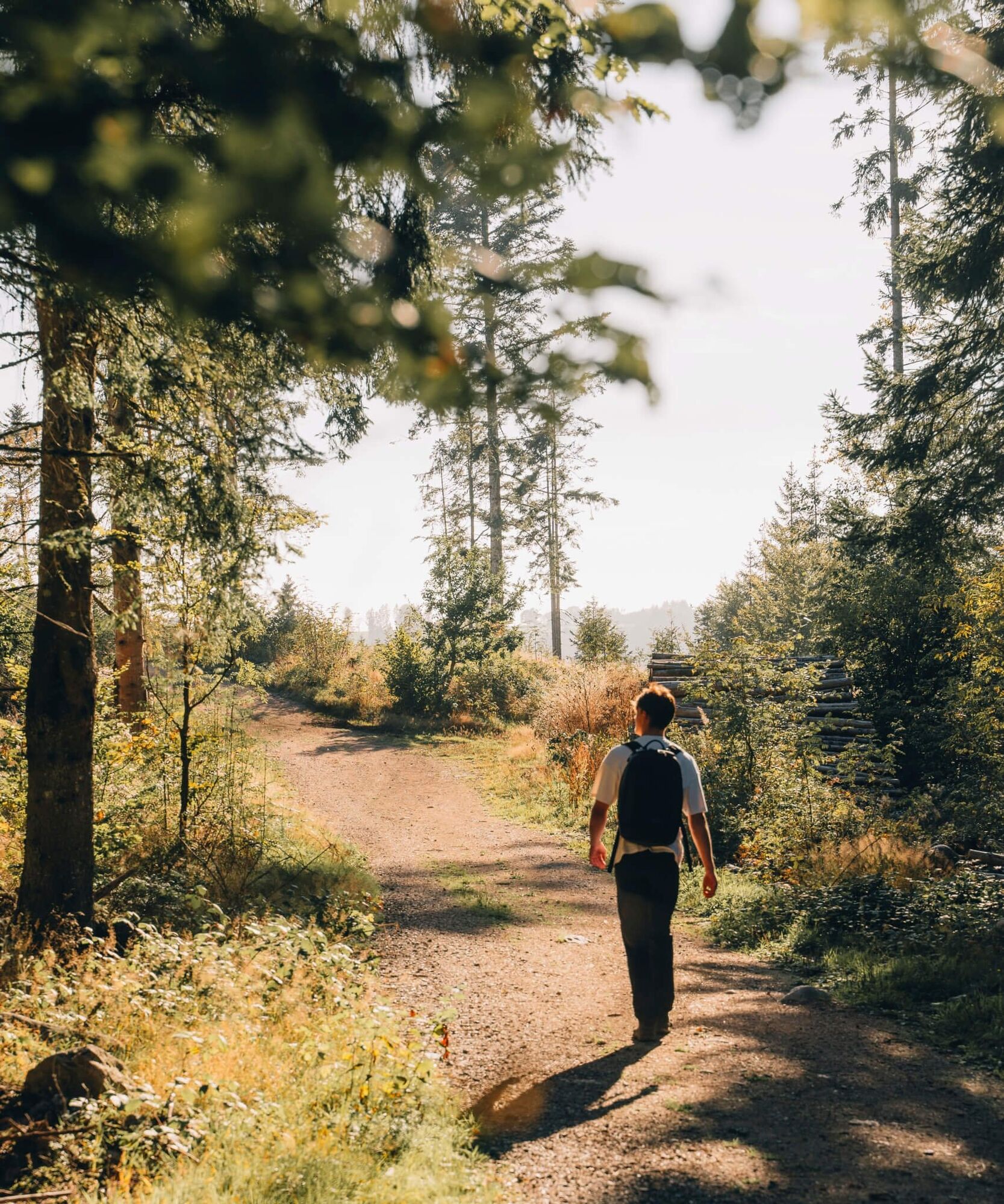
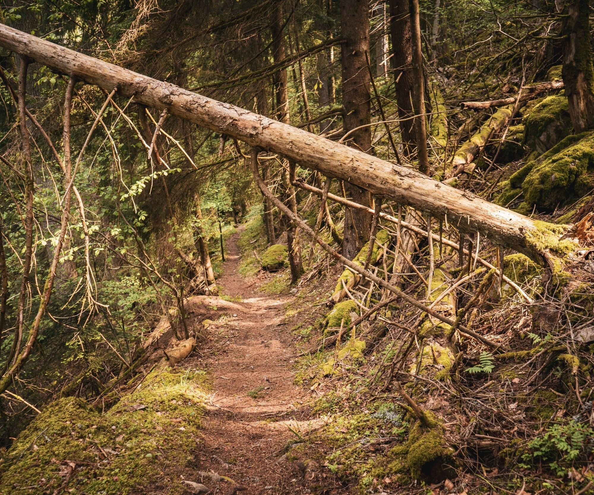
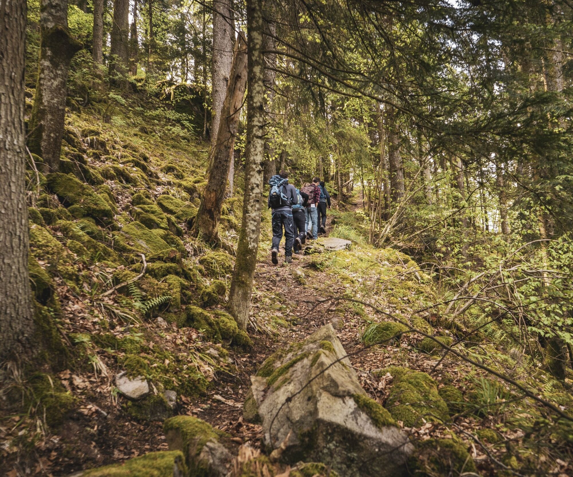
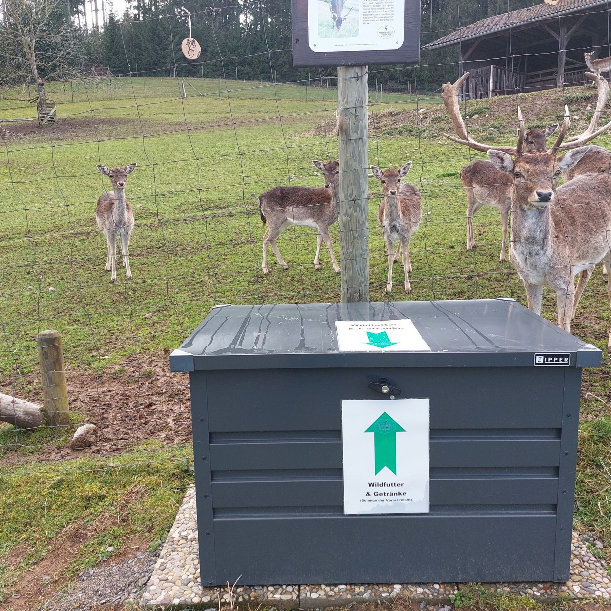

From the Herz-Jesu-Kapelle chapel in the center of Grafenhausen-Staufen in the Black Forest, the trail first leads across a meadow and along the edge of the forest until you reach the path down into Schwarztal. After a few meters, you bypass the Gießebuck and cross the small connecting road that leads to the Schwarzabruck hydroelectric power station. The first scree slopes appear at Kuchelfelsen, where the chamois that have settled here like to frolic. The rest area at the Muckenloch is a good place to stop for a snack before you set off on the ascent. The "Muckenlochpfad" in the Bannwald forest area is a small, natural trail that leads you upwards. Shortly before the Rappenfelsen rock, the path becomes narrower and narrower and leads up steep slopes under rock faces. You follow the adventurous path, leave the Bannwald forest area, come to the Späneplatz and reach the highest point, the Wartbuck. You hike along the upper Wartweg to the Brenden hiking parking lot with barbecue area and cross the country road between Brenden and Staufen. You follow the path through small woods on the Bulgenbacher Weg, passing the Bündt deer enclosure. On the way to the starting point above the Bündtweg, the memorial plaque at the rest area provides information about the former farmer captain Hand Müller.
Ano
We recommend sturdy shoes!
The Rappenfelsensteig is not suitable for baby carriages, but can be walked with children if they are sure-footed.
The trail is suitable for dogs. Please keep your dog on a lead due to the narrow paths and watch out for other hikers.
Please pay attention to the signs on the hiking trail. You can find precise and detailed information about the signs and the hiking guidance system on our website. In an emergency, call 112.
From Freiburg: B31 direction Donaueschingen, exit B317/B500 direction Waldshut, in Seebrugg left onto K4989 direction Schönenbach/Staufen. From Donaueschingen: B31 direction Freiburg, through Hüfingen and left after Bonndorf, left after Grafenhausen, right onto K6500.
Take the train from Singen or Basel to Waldshut and from there take the 7342 bus to Schönenbach.
Staufen village center
Further entry points: Brenden hiking parking lot, Brenden village hall, Schwarzabruck hiking parking lot
Ano
"Open your eyes" is the motto on the Black Forest premium hiking trails. Every trail has a stamping point in the form of a cuckoo clock. These offer the opportunity to document your hikes with stamps in your Hochschwarzwälder Wanderpass. Further information can be found on our website.
This project was supported by the Southern Black Forest Nature Park with funds from the state of Baden-Württemberg, the Glücksspirale lottery and the European Union (EAFRD).
With some luck you can see chamois in the early morning and late evening. Dawn and dusk are the best times to see the animals!
 Získejte přehled Vždy živě na místě s více než 9 500 webkamerami. bergfex Jako uživatel Pro si nyní můžete zobrazit odpovídající webové kamery pro mnoho prohlídek v aplikaci prohlídky z. Můžete si tak přímo prohlédnout aktuální podmínky.

Oblíbené prohlídky v okolí
- 5.0
Wutachschlucht+Lotenbachklamm
světloTuristika 10.0 km - 4.7
Seerundweg Schluchsee
středníTuristika 17.7 km - 4.0
Gorges, climbs and culture
středníTuristika 12.1 km - 5.0
Premium Hiking Trail - Schluchseer Jägersteig
středníTematická stezka 11.5 km - 5.0
Berau - ruins, rocks & gorges
středníTuristika 9.68 km - 5.0
Schluchsee tour for families
světloJízda na kole 17.8 km - 5.0
Hike to the Schluchsee Highlights
středníTuristika 16.1 km - 3.0
From "Schluchsee" to "Grafenhausen-Rothaus"
středníTuristika 14.5 km - 5.0
Ibach: Ibacher Panoramaweg - Genießerpfad
středníTematická stezka 11.7 km Schluchtensteig Schwarzwald
heavydálková pěší trasa 120.1 km

Pěší turistika a stopování


Nenechte si ujít nabídky a inspiraci pro vaši příští dovolenou
Vaše e-mailová adresa byl přidán do poštovního seznamu.





