


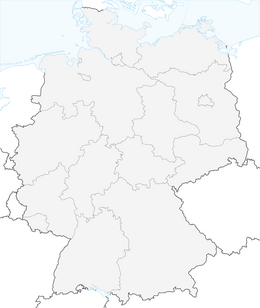


Boot trip "Wellness hike": Bad Teinach - Bad Liebenzell

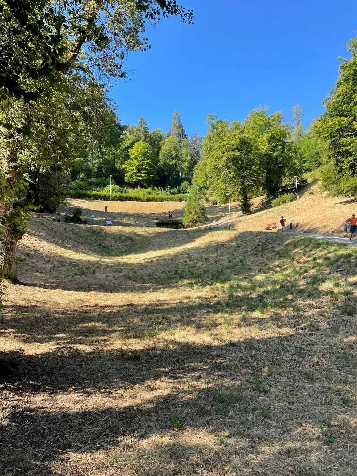
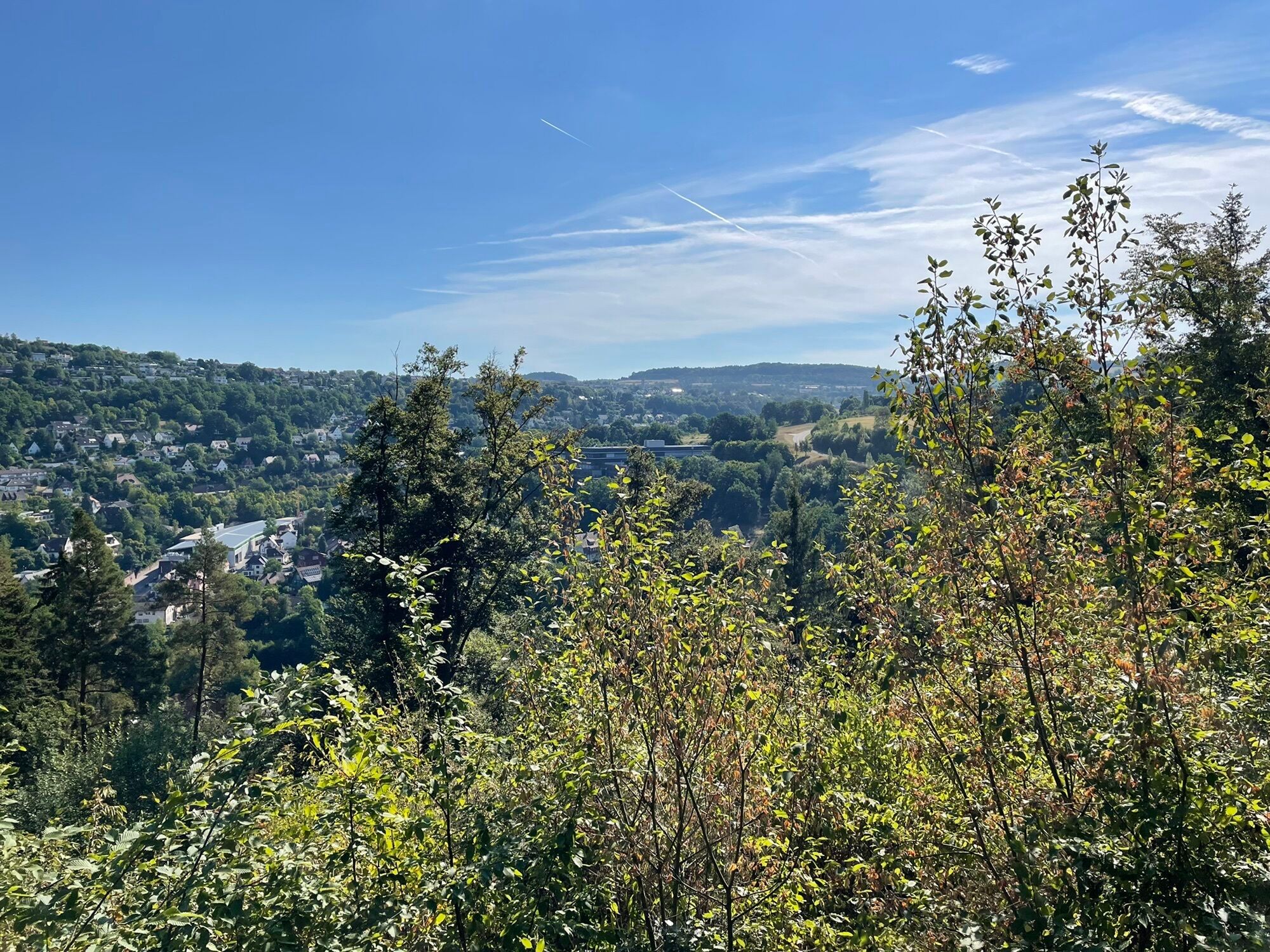
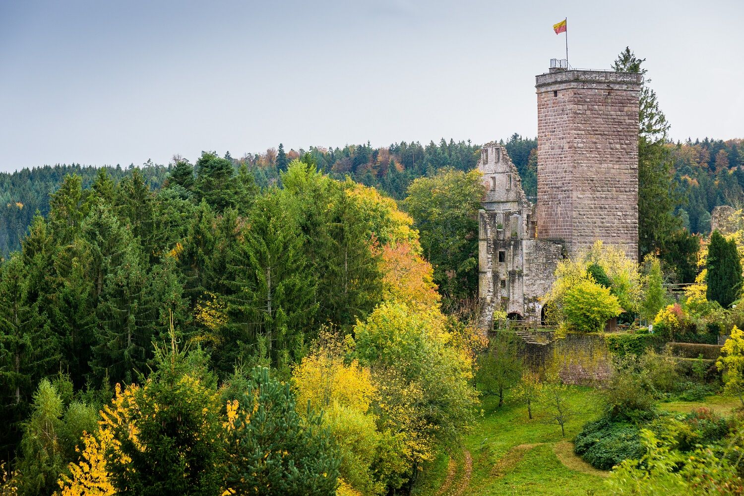
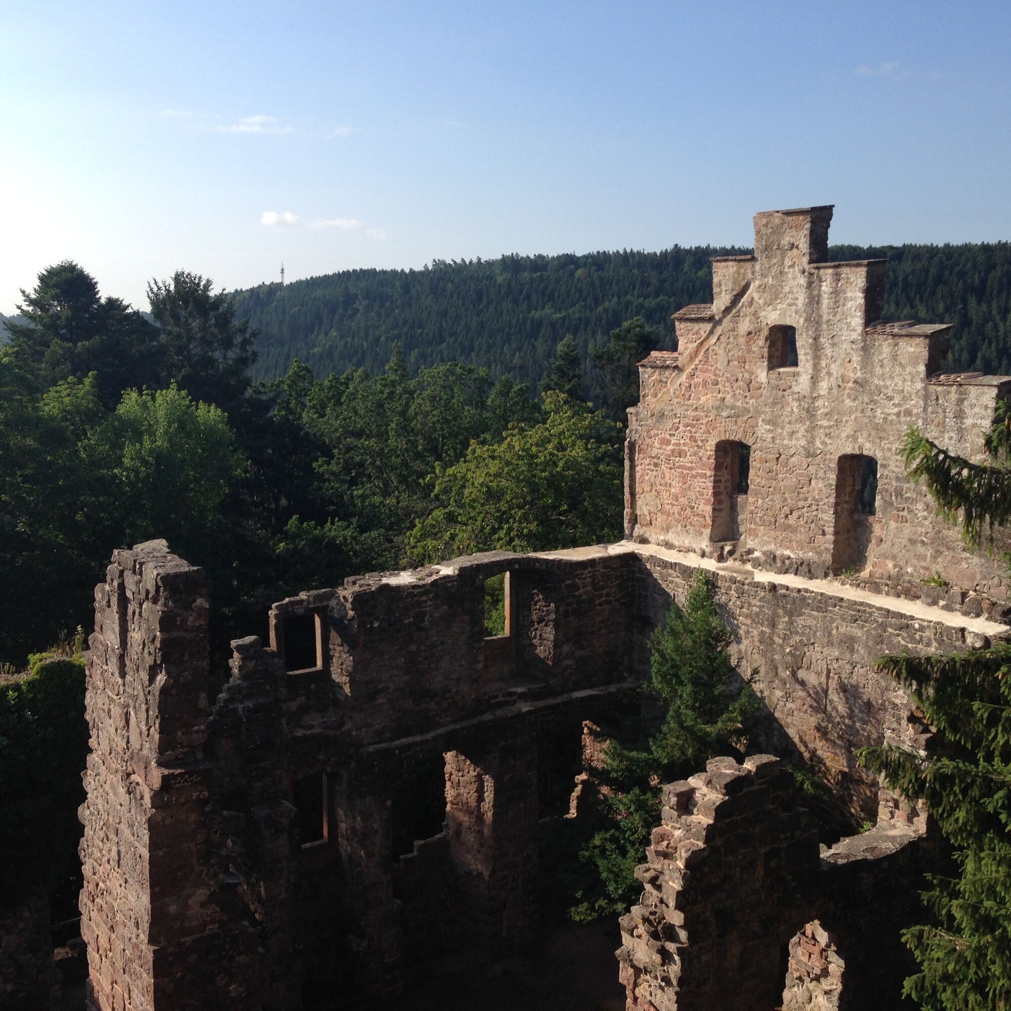
Right after starting in Bad Teinach, it gets sporty: it goes uphill and zigzags up to the Zavelstein ruins including the historic small town. Past the Hotel Berlin, the path soon leads out of Zavelstein...
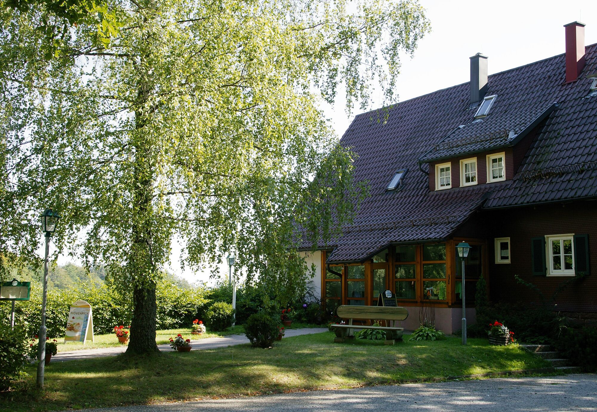
Right after starting in Bad Teinach, it gets sporty: it goes uphill and zigzags up to the Zavelstein ruins including the historic small town. Past the Hotel Berlin, the path soon leads out of Zavelstein through meadows with a beautiful view. Those who want to enjoy a refreshment here can visit the hiking hostel with its great beer garden.
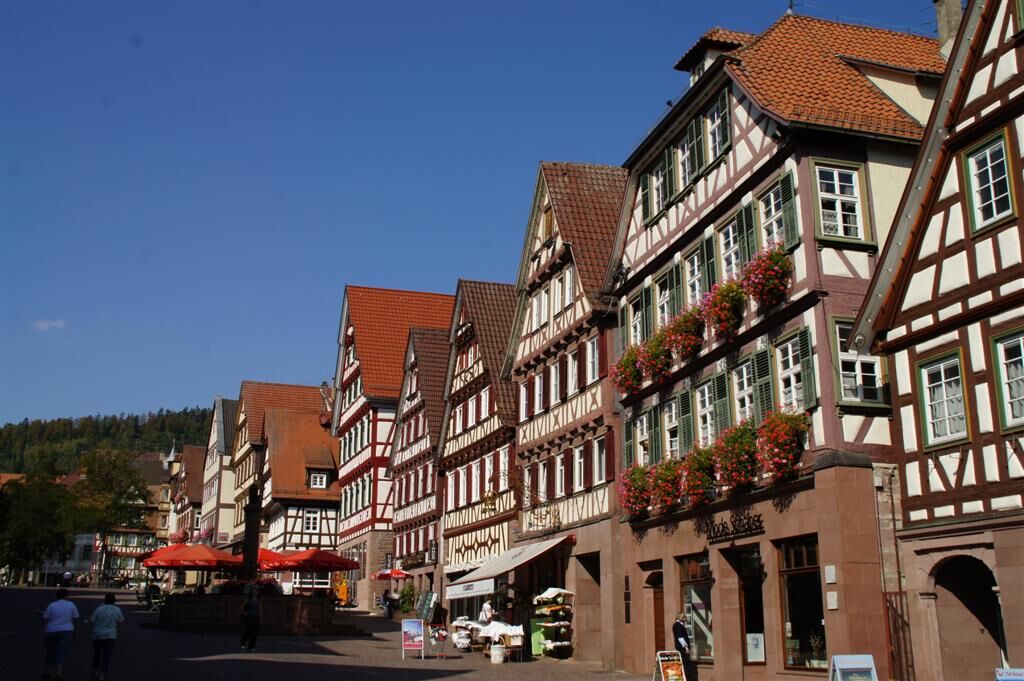
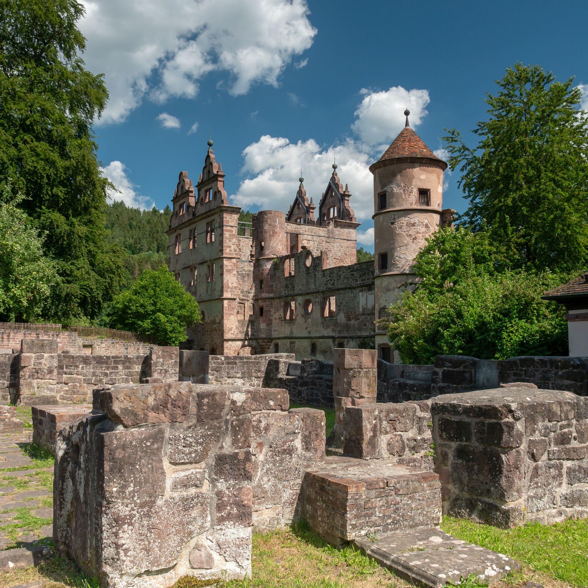
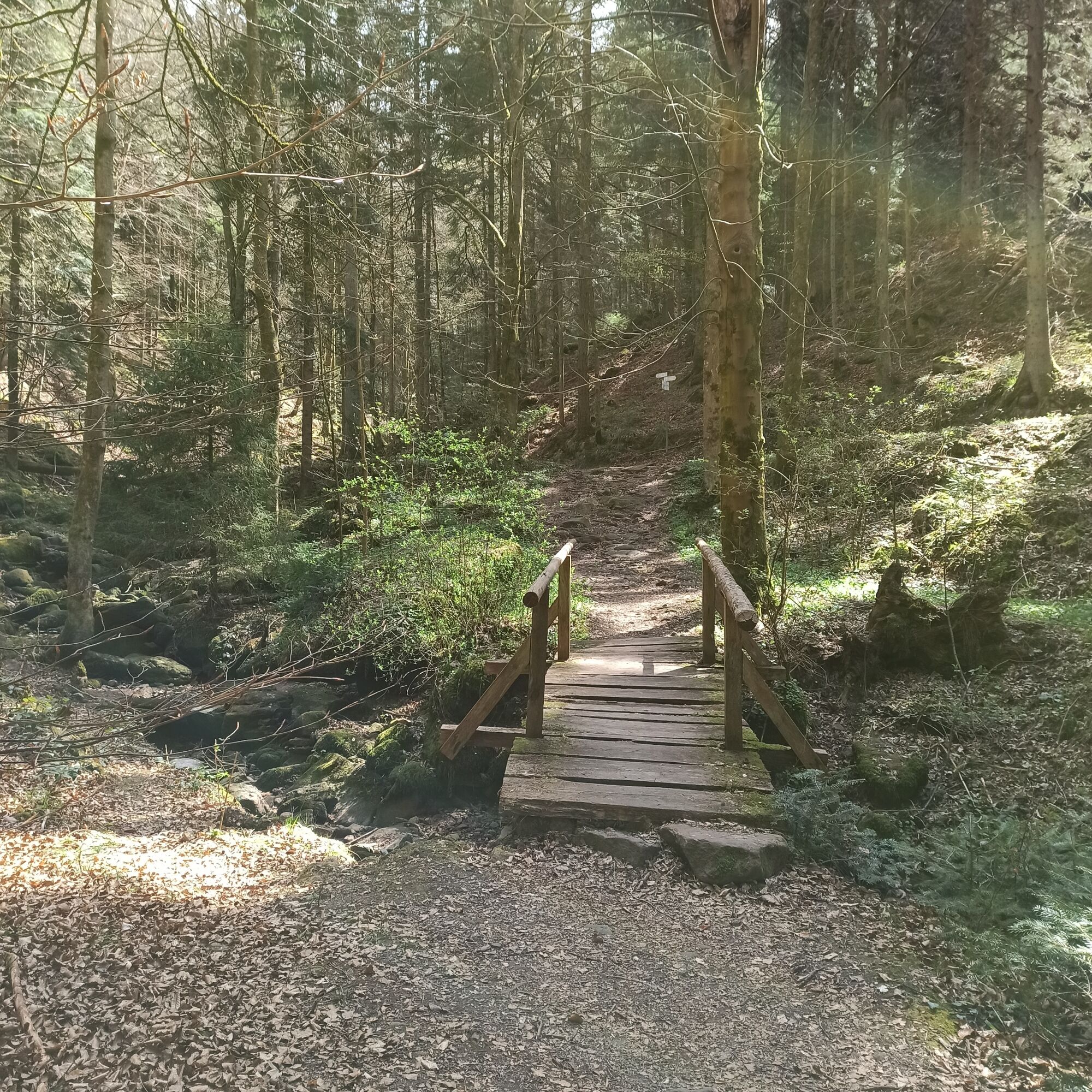
In the forest, we meet the premium hiking trail Water, Forest, and Meadow Path, which we follow to the historic half-timbered town of Calw. Here, the pedestrian zone is crossed, and soon the path leaves the town and leads on a mid-level route to Hirsau. The Hirsau Monastery can be seen from afar, and a detour is worthwhile!
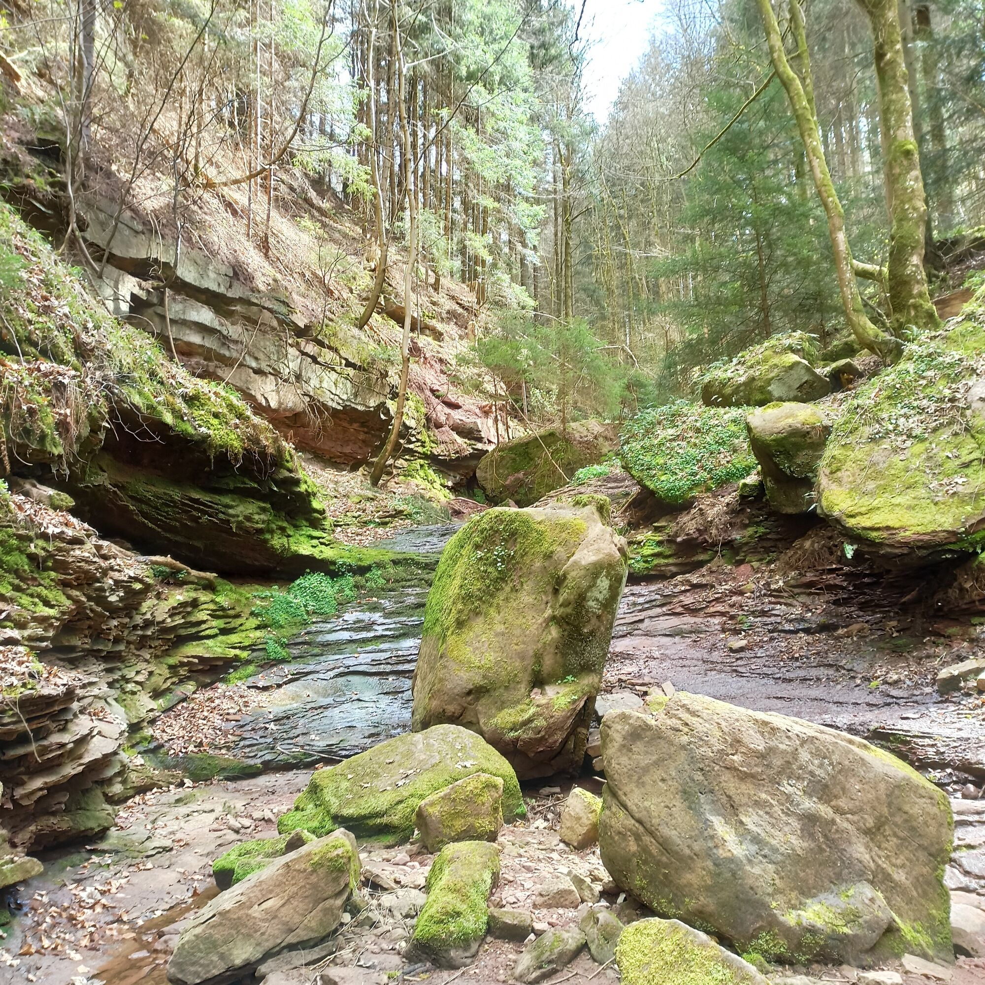
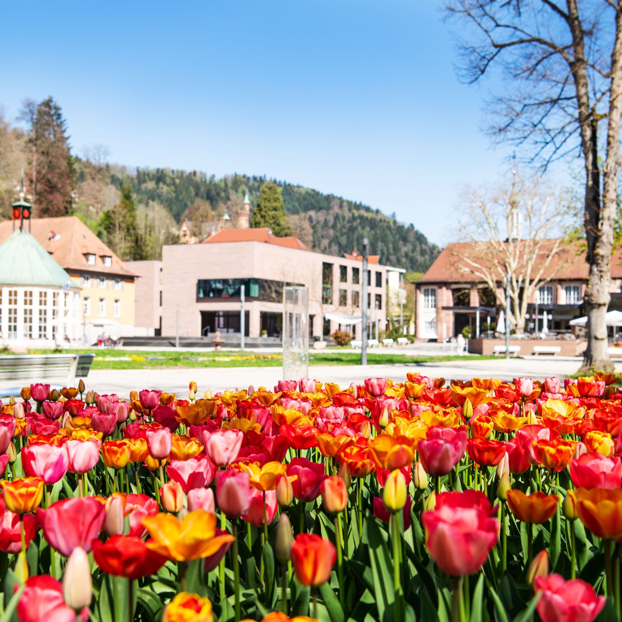
The route then leads into the village and slightly uphill before going onto a narrow path that leads into the Wolfsschlucht near Ernstmühl. Downhill and partly on an asphalted path, the stage goes to the spa park and then into the center of the destination Bad Liebenzell.

Since the route runs exclusively on marked trails of the Black Forest Association, we list here the names of the signpost locations that mark the route:
WWS Bad Teinach Uhlandstraße
WWS Weihreute
WWS Schlossberg
WWS Burgweg
WWS Marktplatz
WWS Quellgarten
WWS Schulstraße
WWS Schnappenrad
WWS Obere Waldacker
WWS Untere Waldacker
WWS Zavelsteiner Brückle
WWS Im Rötelbachtal
WWS Butterstaffel
WWS Am Werner-Pfrommer-Weg
WWS Beim Wölflesbrunnen
WWS Wildgehege
WWS Saatschule
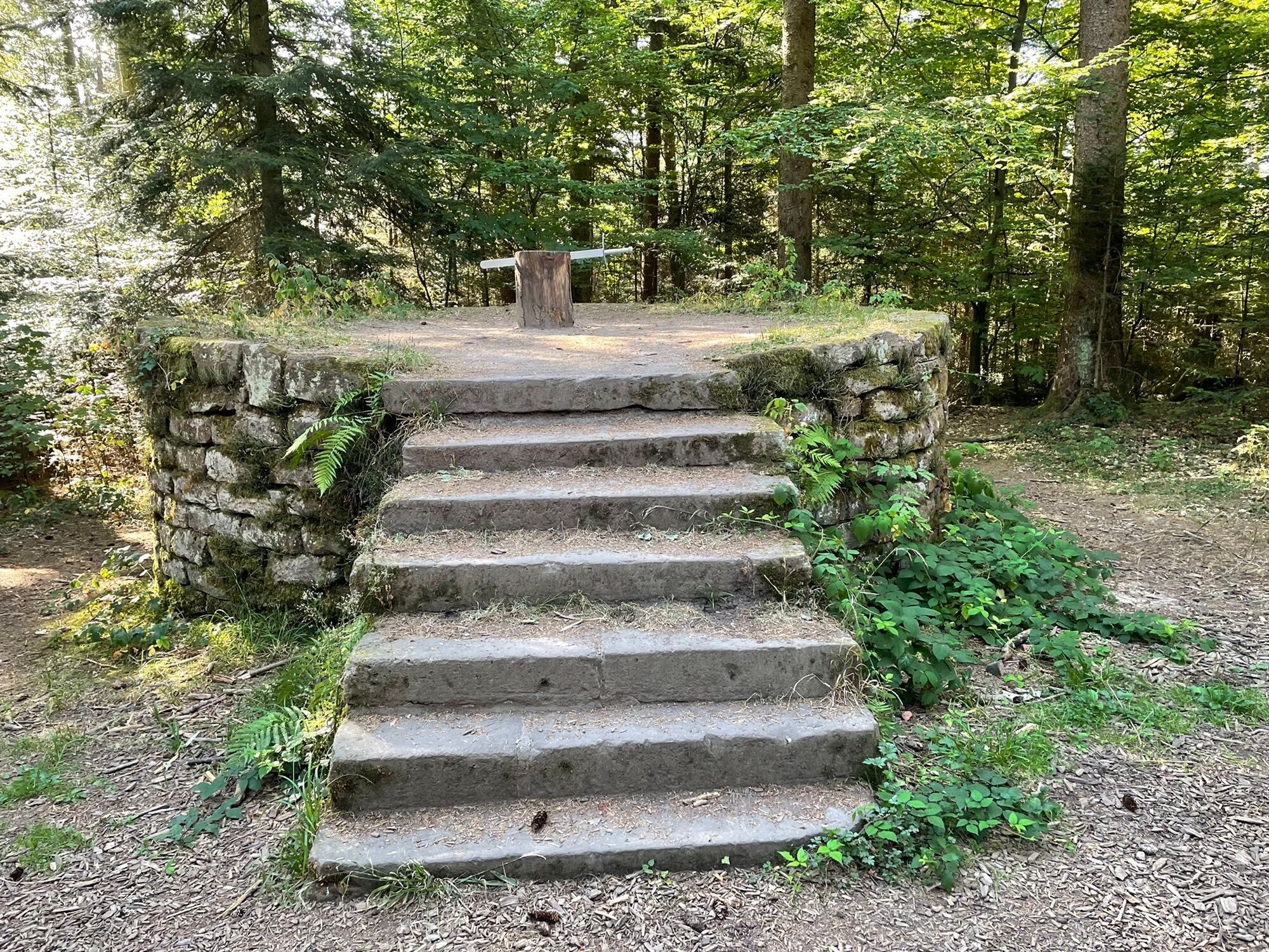
WWS Schafottweg
WWS Schafott
WWS Am Schießbach
WWS Schießbach
WWS Calw/Stadtgarten
WWS Calwer Markt
WWS Unteres Ledereck
WWS Schinderbach
WWS Altburger Weg
WWS Hirsau
WWS Hirsau Aureliuskloster
WWS Ottenbronner Berg
WWS Wolfsschlucht
WWS Ernstmühler Berg
WWS Badwald/Abzw. Ottenbronn
WWS Badweg
WWS Bad Liebenzell
Thermen-Hotel
Ano
Sturdy footwear, enough to drink, sun and rain protection, and possibly a hiking map
The B463 connects the Nagold valley from Pforzheim to just before Horb. At the Teinach station, follow the signs to Bad Teinach.
The Kulturbahn (every 30 or 60 minutes) connects the Nagold valley from Pforzheim to Horb via the Bad Teinach-Neubulach station. From there, buses run to Bad Teinach-Zavelstein.
Another option is bus line 635, which runs hourly from the Calw central bus station.
Parking is available at the outdoor pool.
Tourism GmbH Northern Black Forest
Sonnenweg 5
75378 Bad Liebenzell
Tel: 07052-8169770
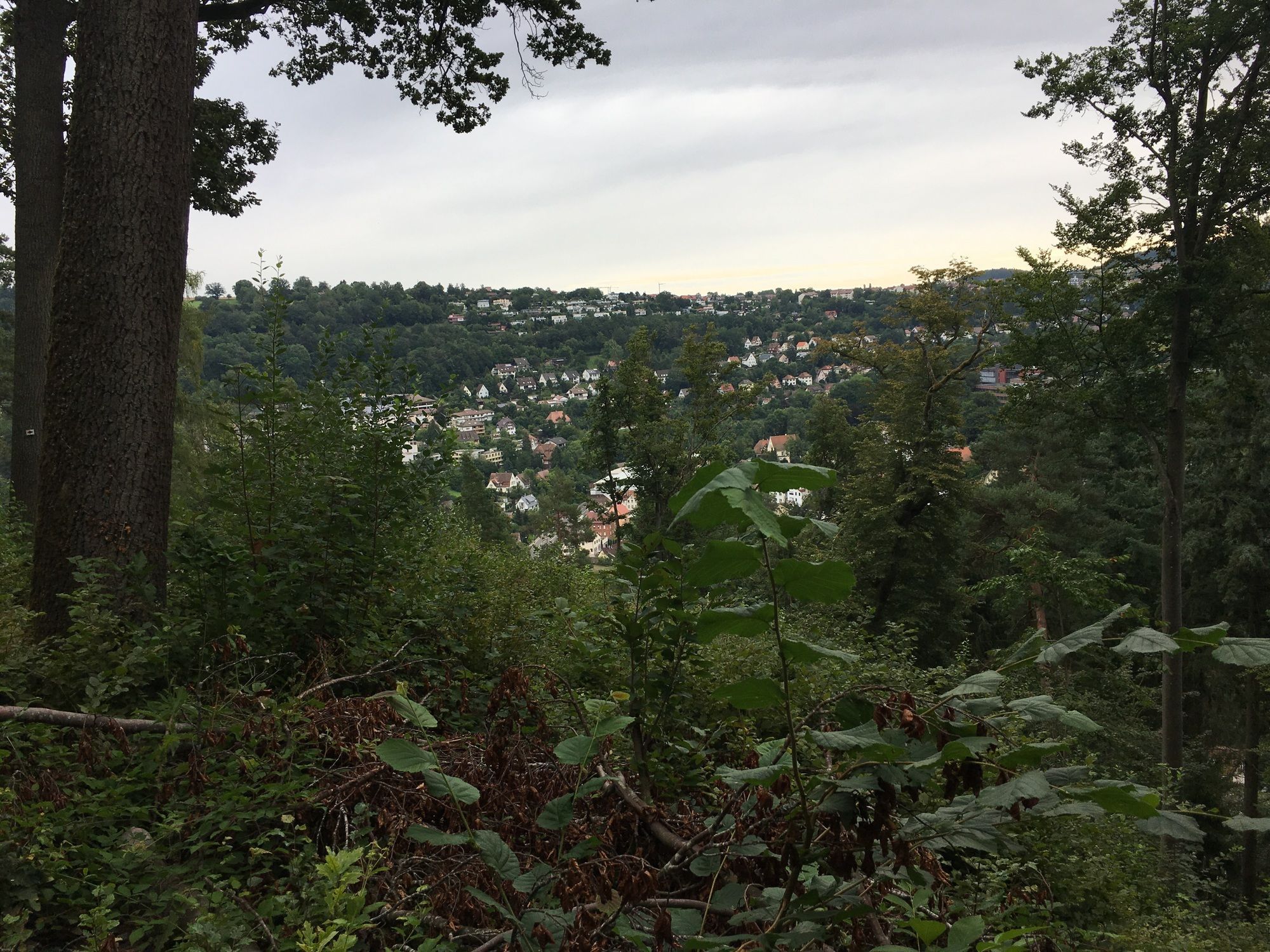
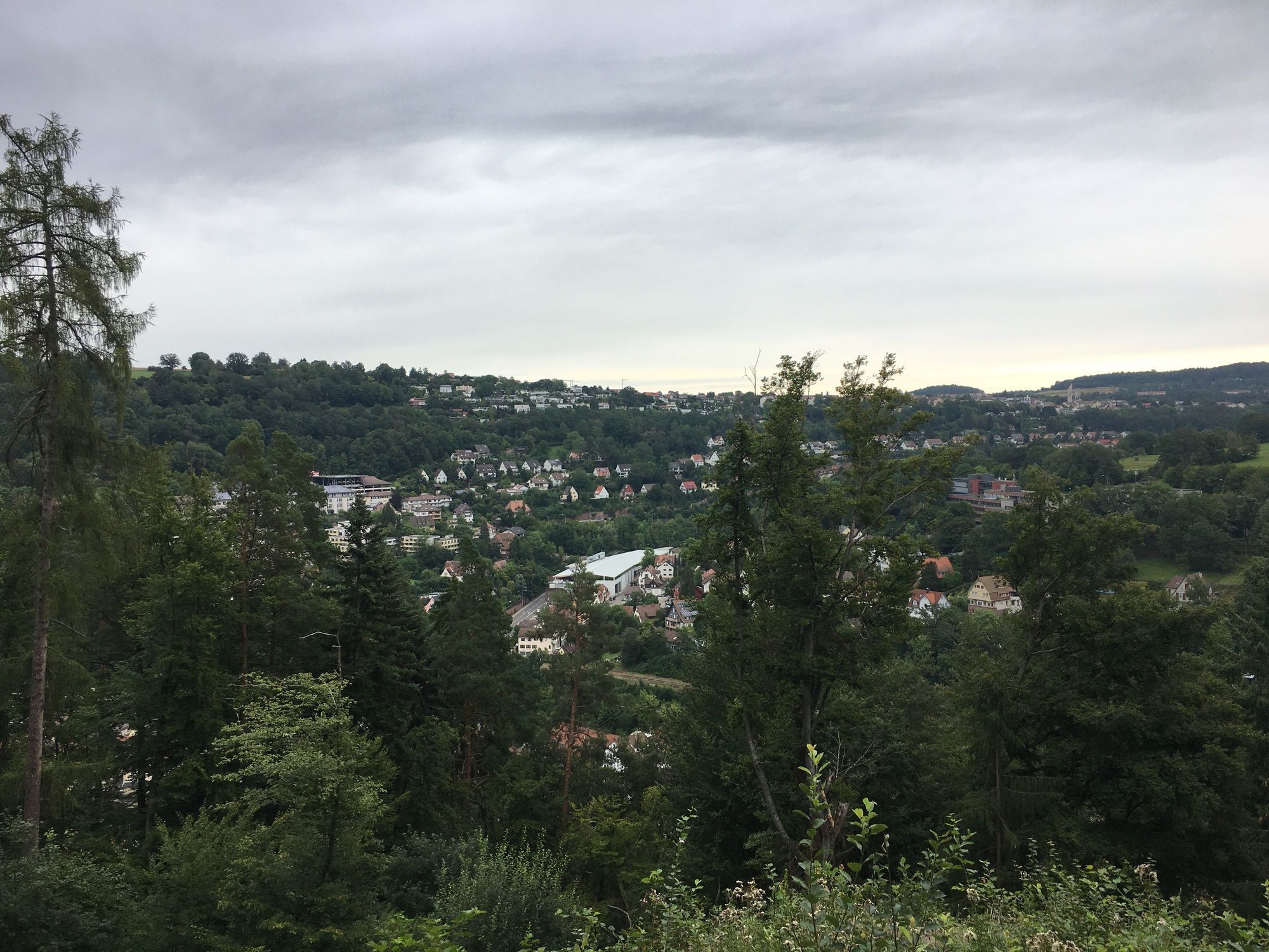
The view into the Teinach valley from the meter-high tower of the Zavelstein ruins is impressive! At the top of the half-timbered town, it watches over the valley.
Oblíbené prohlídky v okolí
- 4.6
Hiking through the Monbach Gorge in search of the kingfisher
středníTuristika 10.5 km - 5.0
Wild romantic Monbach Valley
světloTuristika 6.25 km - 4.9
Der Teinacher (Premiumweg & Genießerpfad)
středníTuristika 12.0 km - 4.8
Water, Woods and Meadowtrail / Zavelstein > Calw (Premium trail & Genussweg)
heavyTuristika 14.4 km - 5.0
From Bieselsberg into the wild Monbach valley - dream route on small paths
heavyTuristika 18.0 km - 5.0
AugenBlick route Bad Teinach-Zavelstein Zettelberg
heavyTuristika 15.5 km - 4.5
Naturpark-AugenBlick-Runde Calw-Holzbronn
středníTuristika 13.3 km - 5.0
GeoTour Wildberg through the picturesque Lützenschlucht
heavyTuristika 2.80 km - 4.0
Circular route Hirsau - Oberreichenbach - Schweinbachtal - Hirsau
středníTuristika 10.2 km - 5.0
From Altburg over scenic heights to Zavelstein
středníTuristika 10.6 km
Pěší turistika a stopování


Nenechte si ujít nabídky a inspiraci pro vaši příští dovolenou
Vaše e-mailová adresa byl přidán do poštovního seznamu.


