


From Altburg over scenic heights to Zavelstein
The circular hike contains everything that delights the hiker: A varied route on the plateau of the eastern Northern Black Forest past meadows and fields with beautiful views. This was made possible by...
The circular hike contains everything that delights the hiker: A varied route on the plateau of the eastern Northern Black Forest past meadows and fields with beautiful views. This was made possible by the former settlers of the Waldhufen villages Speßhardt, Weltenschwann and Rötenbach, who cleared the forest to be able to practice agriculture. In Zavelstein, a picturesque museum town, there is much to discover. The ruin visible from afar invites exploration and the bergfried rewards the climb with a magnificent view. Along the way, there are always longer quiet sections through the forest for relaxation. No more than light luggage is required, because rustic huts and some restaurants await thirsty and hungry visitors directly on the route.


Follow the signposts of the Black Forest Association:
Sports ground, Anplätz, Speßhardt, Kohlerstraße, Theurerswald, Wanderheim, Schnappenrad, Schulstraße, Quellgarten, Market square, Burgweg, Schlossberg, Weihreute, Schlossberghütte, Wolfsschlucht, Rötenbachtal, Steinberg, Linde, Church, Stollenacker, Hausäcker, Weltenschwann, Sports ground
From the sports ground Altburg we start on the paved path along the little frequented road downhill towards Speßhardt. On the way to Kohlerstraße we pass some houses clad with shingles. Partly for the foundations the local colored sandstone was used.
After the turnoff towards Theurerswald we walk on a meadow path to the right past a large farm directly onto the meadows, cross the Rötelbach and already see the buildings of Theurerhof in front of us. Rolf Berlin, a hotelier from Zavelstein, bought the old farmhouse from 1620 in 2015. After extensive renovation and restoration with great attention to detail, it is intended to be used for conferences. Did you notice the wooden gutters?
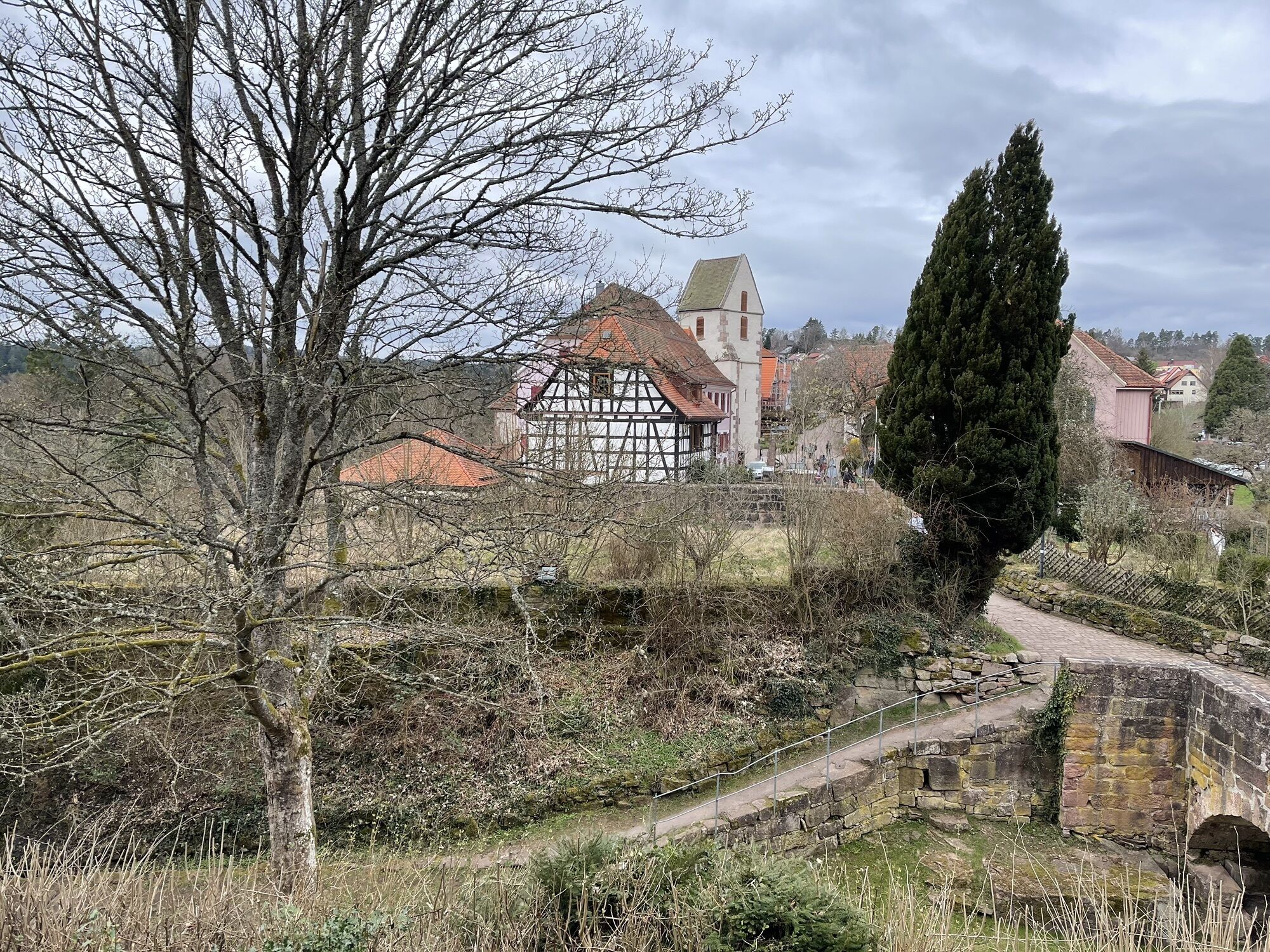
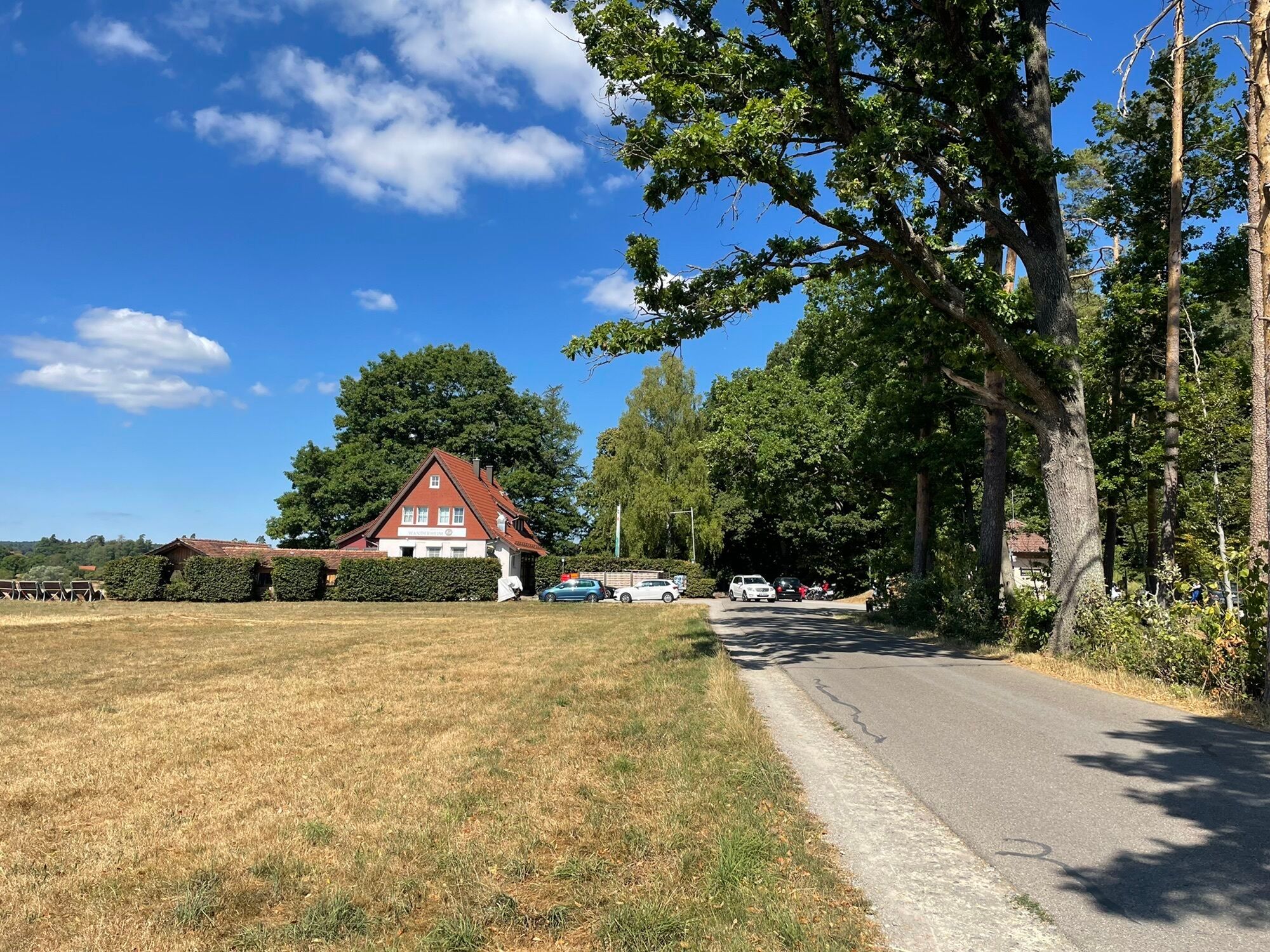
On a meadow path it goes slightly uphill past orchards and fields towards the forest. Soon Speßhardt lies behind us in the valley. A covered bench invites you to rest before we enter the forest. On exiting we cross the road and continue our way through the forest. The nearby Zavelstein hiking home entices with its large shaded beer garden to take a break. At the signpost “Schnappenrad” we meet the East Trail, which leads us with its black-red lozenge into the town and back out again. Anyone walking this path to Zavelstein from the end of February to mid-March will be surprised by a purple-white crocus flower carpet in the meadows. But otherwise there is much to discover in the town. Until the municipal reform in 1975, Zavelstein was the smallest town in Baden-Württemberg and sometimes in all of Germany. The now listed “Städle” at that time consisted of 1 ruin, 1 church and 14 houses. Like in an open-air museum the visitor encounters a great variety of lovingly restored historical sights. Soon the castle ruin becomes visible. It dates from the Stauffer period around 1230. The bergfried offers a wonderful view over the heights of the Northern Black Forest, the Teinach valley and the Gäu to the left of the Nagold. Especially in summer numerous events take place in the ruin. Also, gastronomically, Zavelstein has a lot to offer up to the gourmet restaurant (1 Michelin star).
We leave the ruin and walk the serpentines down through the forest. From the junction Weihreute we follow the yellow lozenge again. The nearby Schlossberghütte also invites you to take a break. In front of the hut a fountain with a large colored sandstone trough refreshes. From now on it goes uphill again. The Rötenbach accompanies us through a beautiful mixed forest into the town.
Rötenbach was founded like Speßhardt and Weltenschwann as a Waldhufendorf until the 12th century. The settlers received “Waldhufe” from the Counts of Calw, i.e. strips of land that first had to be made farmable. A “Hufe” was so big that its agricultural use could feed a family and secure the levies. First a central connecting path was built, on which the settlers’ residential houses were built. Behind each house followed garden, meadows, fields and forest. Area names like “Hausäcker” still remind of the former use. From the 15th century on Rötenbach has been administered by Zavelstein.
In Lindenstraße we meet a mighty lime tree. A plaque informs about its dimensions. It was planted around 1700 and is therefore more than 300 years old. Its circumference in 2020 is about 7.00 m. It grows by another centimeter in width each year.
Past some older houses we leave Rötenbach and continue through cultural landscape and forest to “Hausäcker”.
On the little frequented road we walk past orchards to Weltenschwann. Occasionally there are trees full of mistletoe. We meet the Rötelbach and can already see from far away the stately former Weltenschwann schoolhouse. Today a kindergarten is housed there. Attention, here the yellow lozenge pointing left into the forest can easily be overlooked. The entrance does not become clearly visible until past the colored sandstones which serve as seats. The rest of the way to the starting point of the hike at the sports ground is quickly covered.
Text and pictures: Black Forest guide Roswitha Hild
Arrival by car:
Autobahn A8 from Karlsruhe: Exit Pforzheim-West (approx. 30 km); continue via federal road 463 towards Calw; via K4325 you reach Calw-Wimberg and then Calw-Altburg. Autobahn A8 from Ulm/Stuttgart: Exit Leonberg (approx. 25 km), continue via federal road 295 towards Weil der Stadt to Calw. Then continue via K4325 to Calw-Altburg. Autobahn A81 from the south/Lake Constance: Exit Gärtringen-Stadtmitte (approx. 20 km), continue via K 1075; near Deckenpfronn at the roundabout take the first exit and continue on B 296 towards Calw. Via K4325 you reach Calw-Altburg.Plan your arrival by car at www.map24.de
Arrival by train:
Route Pforzheim - Calw - Horb - Tübingen (Kulturbahn). Long-distance train connections (EC, IC, ICE) are best reached in Karlsruhe with connecting trains via Pforzheim (Kulturbahn). If arriving via Stuttgart, we recommend continuing with the S-Bahn S6 Stuttgart - Weil der Stadt with a transfer to bus line 670 to Calw.Plan your arrival at www.reiseauskunft.bahn.de
Arrival by bus:
Greater Stuttgart area bus line 670 DB Bahn Regiobus / Volz; (Calw-Weil der Stadt) connecting to the S6 Böblingen / Sindelfingen area: Bus line 763 DB Bahn Regiobus; Calw-Böblingen (connection to S1) From the central bus station Calw (ZOB) you can reach Altburg with bus line 6302. It is recommended to get off at the Lamm stop, from there it is only a few minutes' walk to the Altburg sports ground.Regional bus line X63 between Calw - Altburg - Bad Wildbad - Bad Herrenalb
Plan your arrival with
Parking at the sports ground in Altburg
The Altburg sports ground is located on the road towards Speßhardt.
Additional parking options:
Hiking parking lot Schwarzwaldhalle Altburg Parking lot at the cemetery in AltburgImmerse yourself in the local history of Altburg on the Altburger-Bohnenberger-History Trail.
Visit the Farmhouse Museum with current programs on the first Sunday of the months from April to October and enjoy the Altburg "Glombakucha".
Oblíbené prohlídky v okolí
-
5.0
Wild romantic Monbach Valley
světloTuristika 6.25 km -
4.8
Hiking through the Monbach Gorge in search of the kingfisher
středníTuristika 10.5 km -
4.7
Through the wild romantic Schweinbachtal to the Bruderhöhle cave
středníTuristika 13.8 km -
4.5
Wolfsschlucht and Fox Gorge
středníTuristika 9.74 km -
5.0
Der Teinacher (Premiumweg & Genießerpfad)
středníTuristika 12.0 km -
5.0
Water, Woods and Meadowtrail / Zavelstein > Calw (Premium trail & Genussweg)
heavyTuristika 14.4 km -
From Bieselsberg into the wild Monbach valley - dream route on small paths
heavyTuristika 18.0 km -
5.0
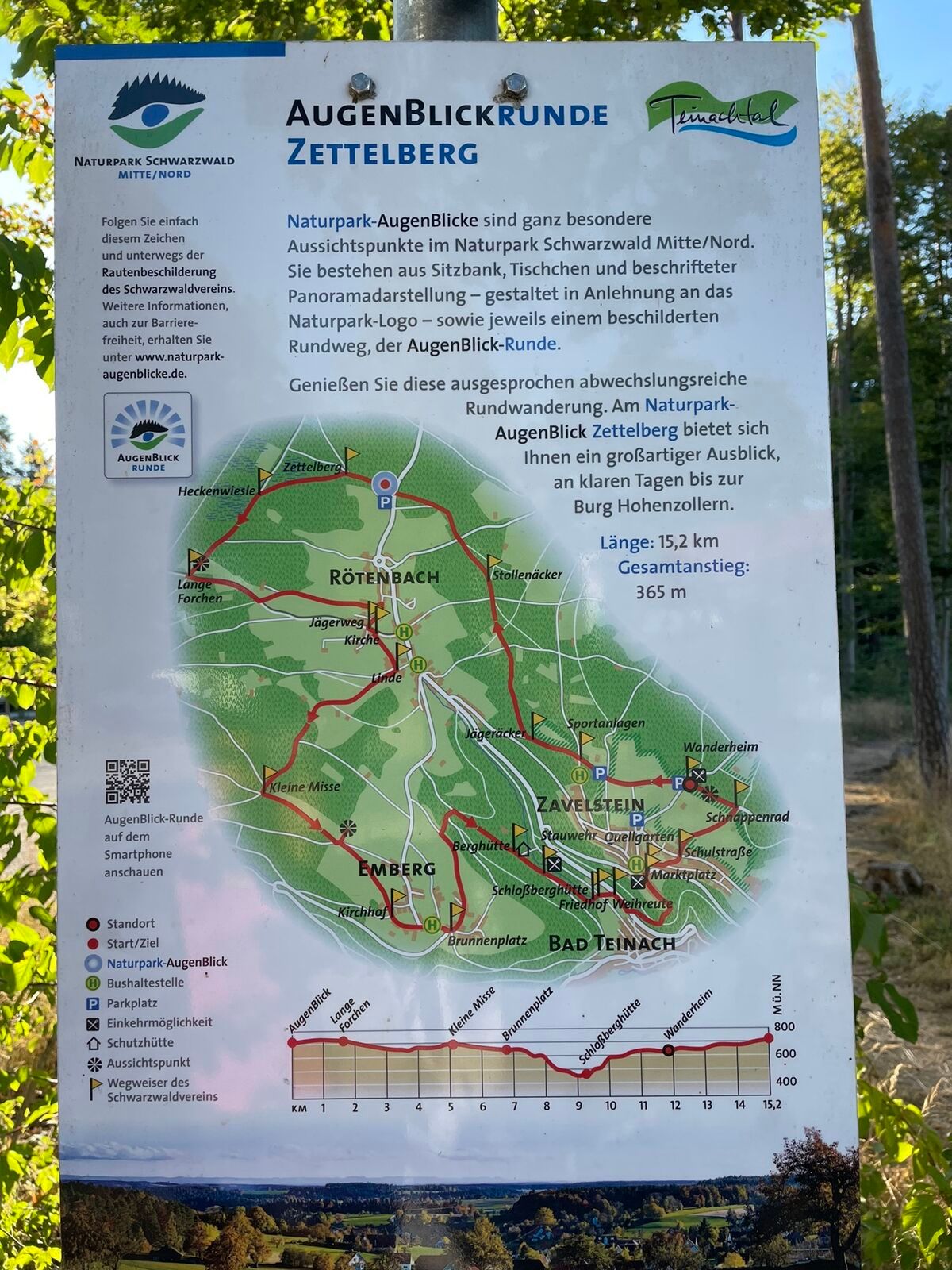
AugenBlick route Bad Teinach-Zavelstein Zettelberg
heavyTuristika 15.5 km -
5.0
Rundwanderweg Sulzkar
středníTuristika 12.4 km -
5.0
Hike through the idyllic Kälbertal
středníTuristika 8.01 km

Pěší turistika a stopování


Nenechte si ujít nabídky a inspiraci pro vaši příští dovolenou
Vaše e-mailová adresa byl přidán do poštovního seznamu.