







Bieselsberger valley route

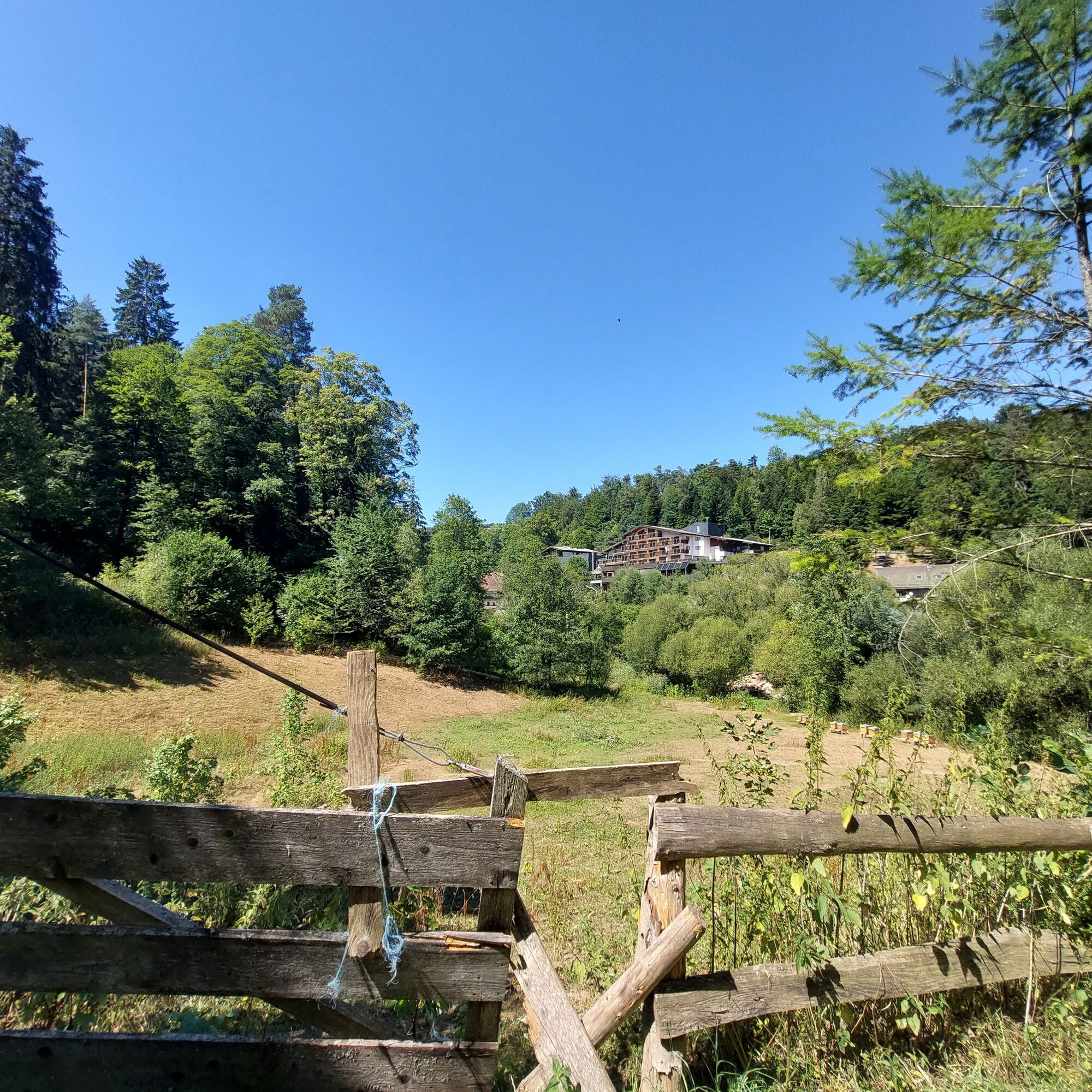
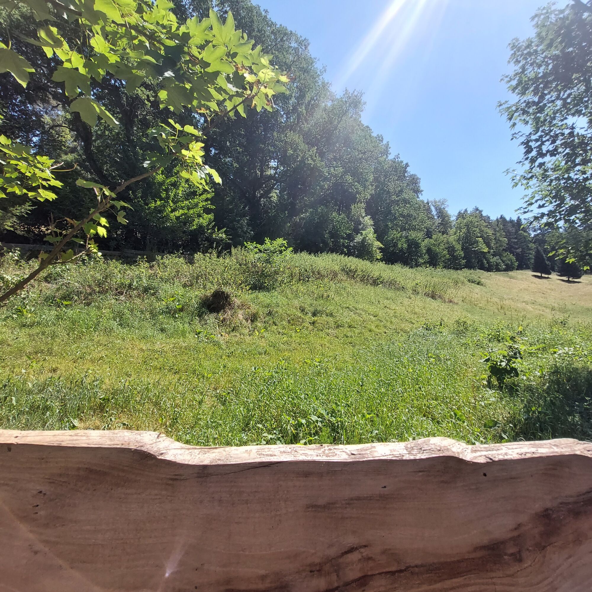
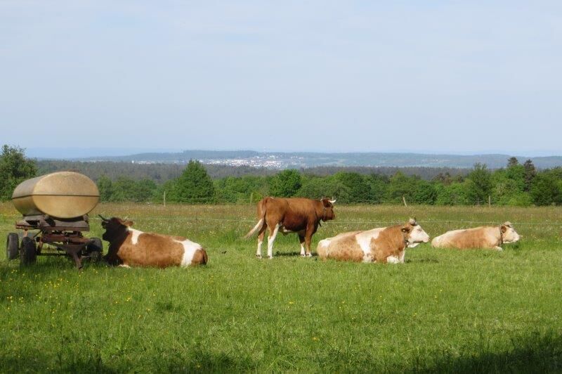
Bieselsberg on the sunny height between Unterreichenbach and Schömberg is the starting point of this small valley route. Up here, you are still spoiled by the sun and can enjoy great views before heading...
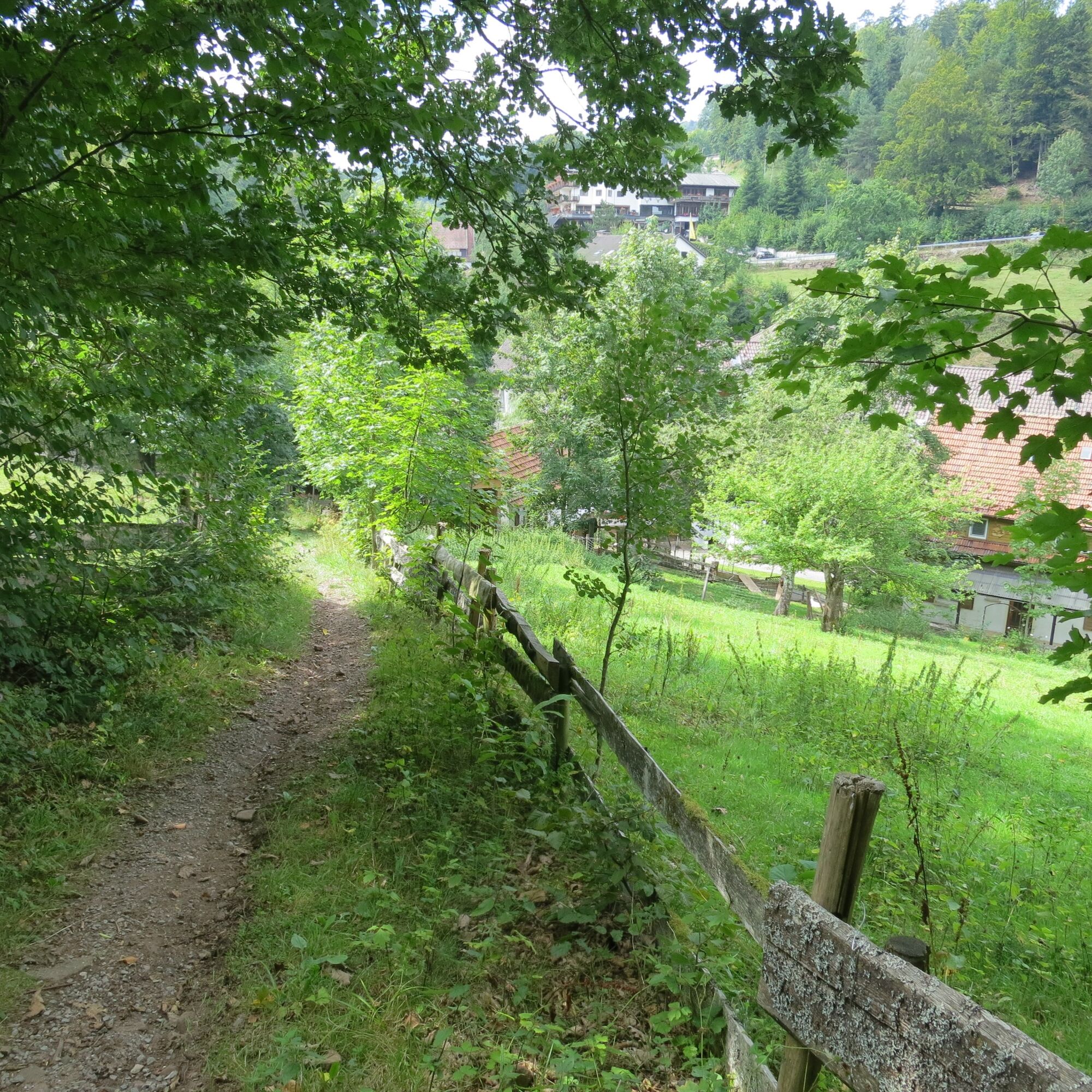
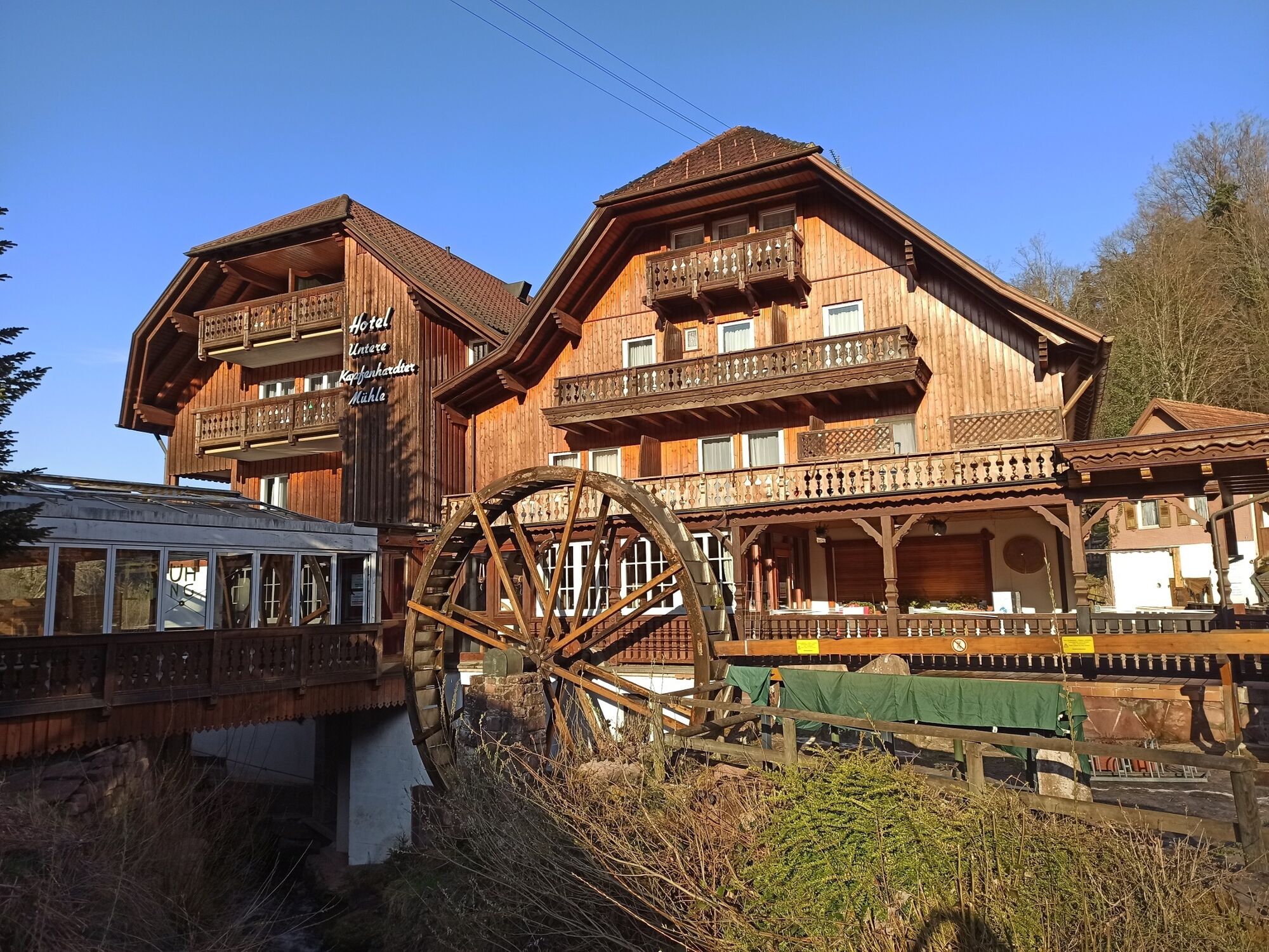
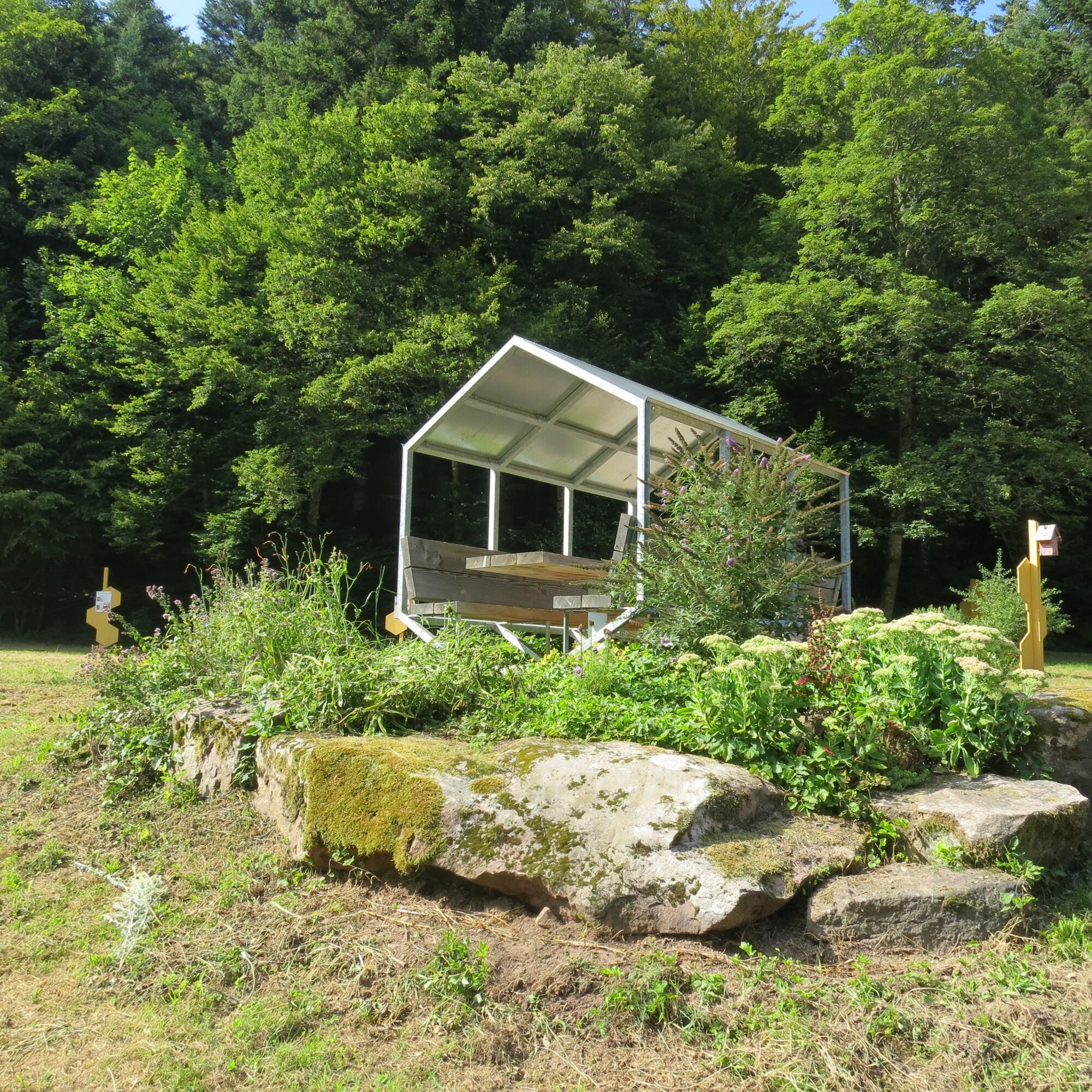
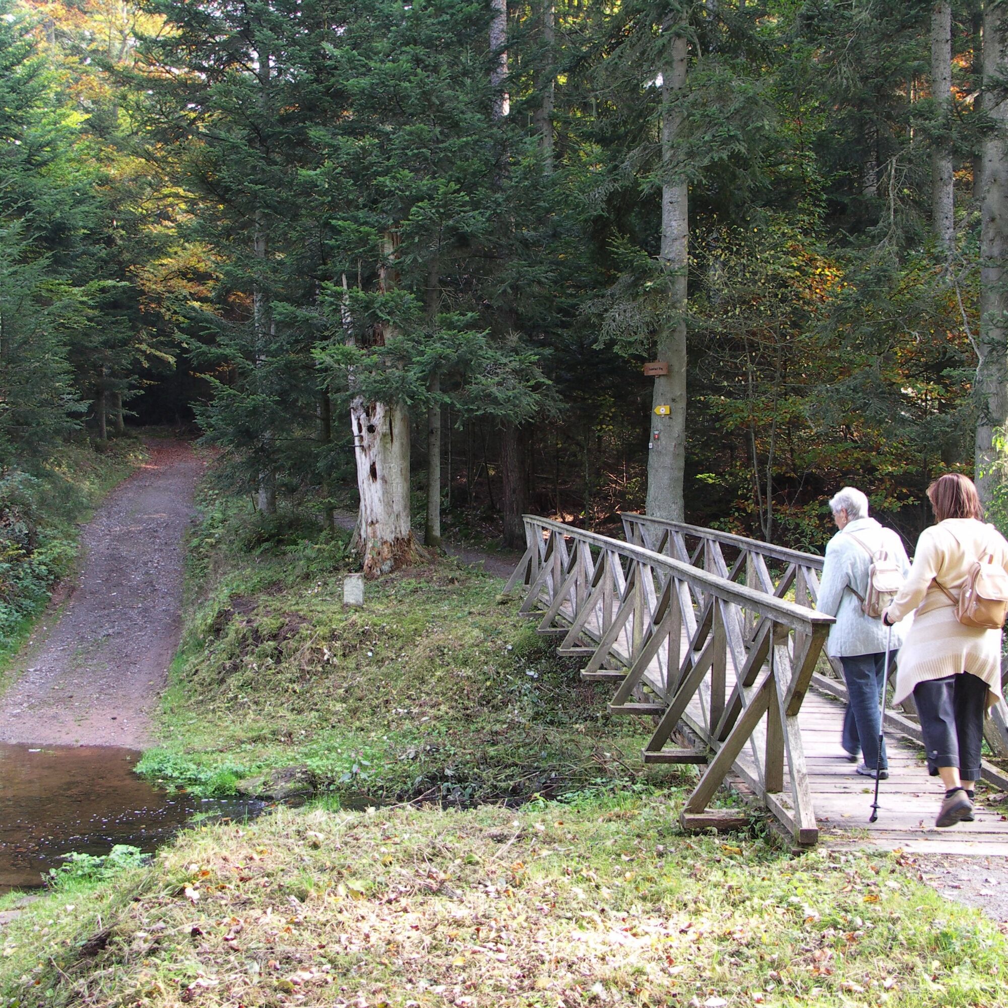
Bieselsberg on the sunny height between Unterreichenbach and Schömberg is the starting point of this small valley route. Up here, you are still spoiled by the sun and can enjoy great views before heading over narrow paths first into the Kapfenhardter Valley. The forest becomes denser, the air a bit cooler, and soon you are down — directly at the Lower Kapfenhardter Mill with a restaurant and a cozy mill shop. The route passes the mills of the valley to the other side of the Eulenbach. We only briefly touch the spring experience trail and the bee educational trail before the Eulenbach Valley draws us deep into the pure Black Forest nature. Now and then, we can spot the babbling stream through the trees. Passing by the ski lift, we soon reach the height near Schwarzenberg. Through the town, the route passes a small biotope with a pond before descending back into the Kapfenhardter Valley. Before the climb to Bieselsberg, there is an opportunity to stop at the already known Lower Mill.
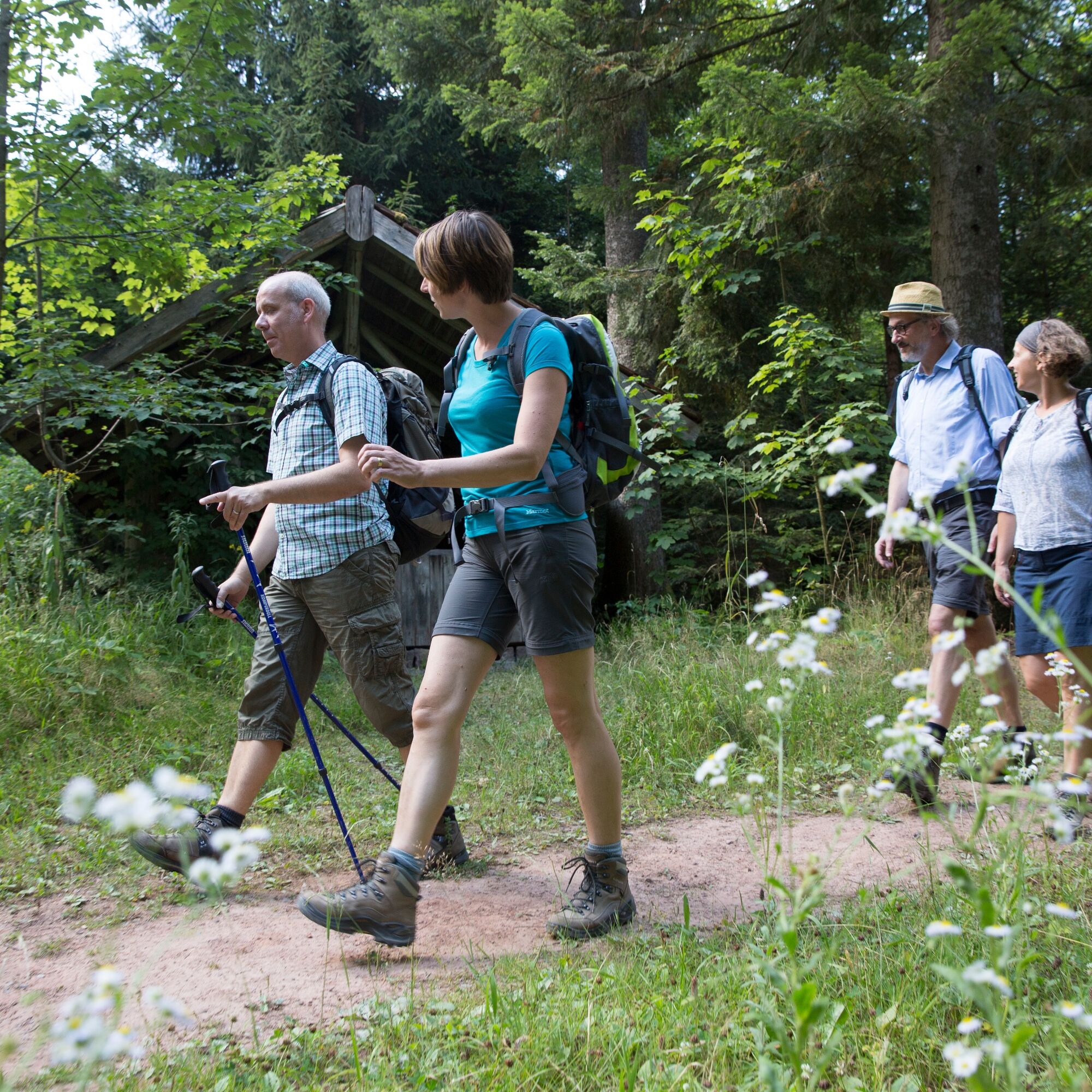

The route follows exclusively the marked hiking trails of the Black Forest Association. Follow the diamond symbol and the signposts throughout the route.
List of signposts:
Dorfscheune/Löwen bus stop - WWS Bieselsberg/Brunnenstub - WWS Bieselsberg/Kohlplatte - WWS Mühlberg - WWS Lower Mill - WWS Hasenweg - WWS Schwarzenberg Saw Mill - WWS Rennbahn - WWS Eulenbach - WWS Eulenloch - WWS Waldfriede - WWS Parking lot/Stone circle - WWS Schwarzenberg/Rossweide - WWS Schwarzenberg/Dorfwiesen - WWS Schwarzenberg Lake - WWS Hasenweg - WWS Lower Mill - WWS Mühlberg - WWS Bieselsberg/Kohlplatte - WWS Bieselsberg/Brunnenstub - Dorfscheune/Löwen bus stop
Hiking shoes, provisions, (digital) maps
From Bad Liebenzell and Schömberg, the best route is via L343.
From Unterreichenbach, Bieselsberg can be reached via K4365.
Monday - Friday, lines 743 and 620 run regularly between Schömberg and Unterreichenbach (via Bieselsberg).
On Saturdays, line 743 runs hourly via Bieselsberg.
On Sundays, line 743 operates every 2 hours.
Call bus BL2 between Unterreichenbach and Schömberg: Call buses can be ordered by phone at 07051/96 88 55, via app (VGC app or bwegt Bus & Bahn), or online at www.vgc-online.de/fahrplaene-netz/vgc-plus at least 60 minutes before departure.
Parking is available at the town entrance (cemetery)
At the start of the route, it is worth taking a look into the regiomaten at the Dorfscheune Bieselsberg - regional products are perfect for a small hiking snack!

Oblíbené prohlídky v okolí
-
4.8
Eyach round
středníTuristika 7.84 km -
4.9
Der Teinacher (Premiumweg & Genießerpfad)
středníTuristika 12.0 km -
4.0
Wolfsschlucht and Fox Gorge
středníTuristika 9.74 km -
4.7
Through the wild romantic Schweinbachtal to the Bruderhöhle cave
středníTuristika 13.8 km -
5.0
Water, Woods and Meadowtrail / Zavelstein > Calw (Premium trail & Genussweg)
heavyTuristika 14.4 km -
3.0
Dobel High-Altitude Route
středníTuristika 11.8 km -
5.0
AugenBlick route Bad Teinach-Zavelstein Zettelberg
heavyTuristika 15.5 km -
5.0
Rundwanderweg Sulzkar
středníTuristika 12.4 km -
From nature experience to active experience
světloTuristika 10.5 km -
3.7
Idyllic silence - hike into Eyachtal
středníTuristika 13.2 km

Pěší turistika a stopování


Nenechte si ujít nabídky a inspiraci pro vaši příští dovolenou
Vaše e-mailová adresa byl přidán do poštovního seznamu.





