


Dobel High-Altitude Route
Fotografie našich uživatelů
The sunny island Dobel - from no other place can the top viewpoint "Schweizerkopf-Hütte" be reached without too much climbing. Those who climb the Dobel water tower at the beginning of the hike can spot...
The sunny island Dobel - from no other place can the top viewpoint "Schweizerkopf-Hütte" be reached without too much climbing. Those who climb the Dobel water tower at the beginning of the hike can spot the destination from its viewing platform above the treetops of the Stierkopf. In addition, the magnificent panorama extends from the Vosges to the Odenwald. First-class panoramic views await the hiker here! Several shelters with seating line the Dobel high-altitude route and invite you to take a break with a snack. Shady and sunny sections alternate on this hike; sometimes you pass under a large leafy canopy, sometimes you can enjoy the sun's rays. From the legendary Westweg gate, the hike goes along the oldest long-distance trail towards Schweizerkopf-Hütte. From it and the nearby sky loungers, the view stretches for kilometers into the distance over the peaks of the Northern Black Forest. Where could a pause be more beautiful?
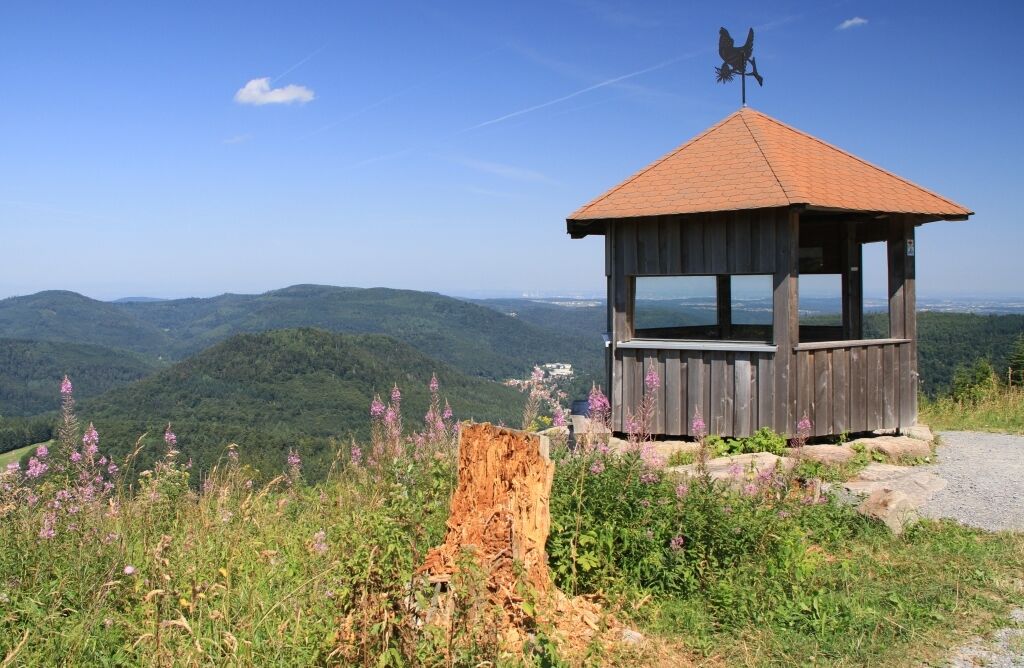
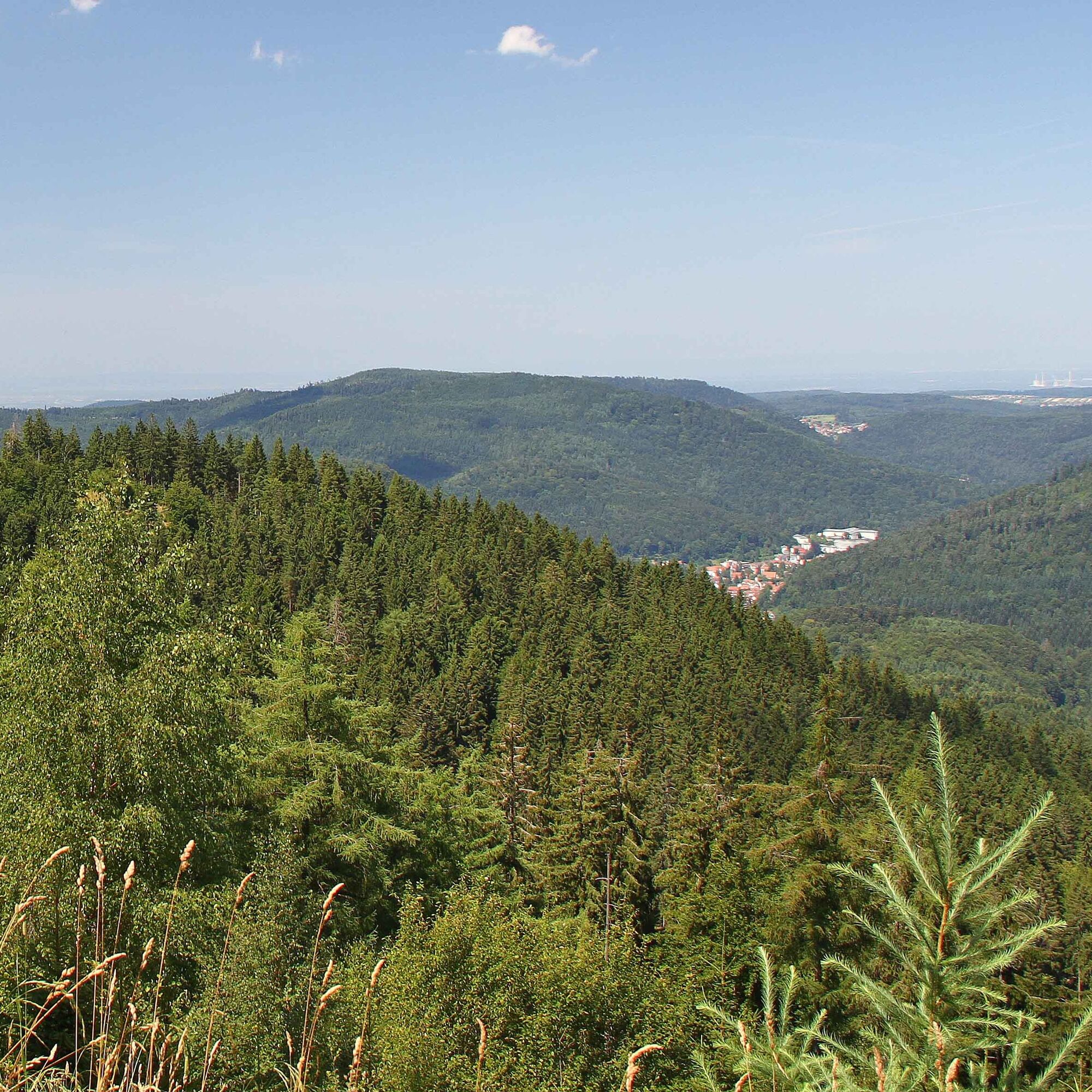
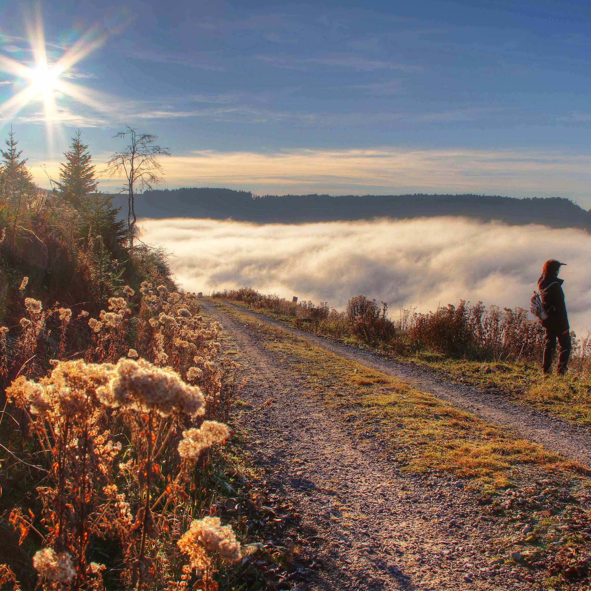
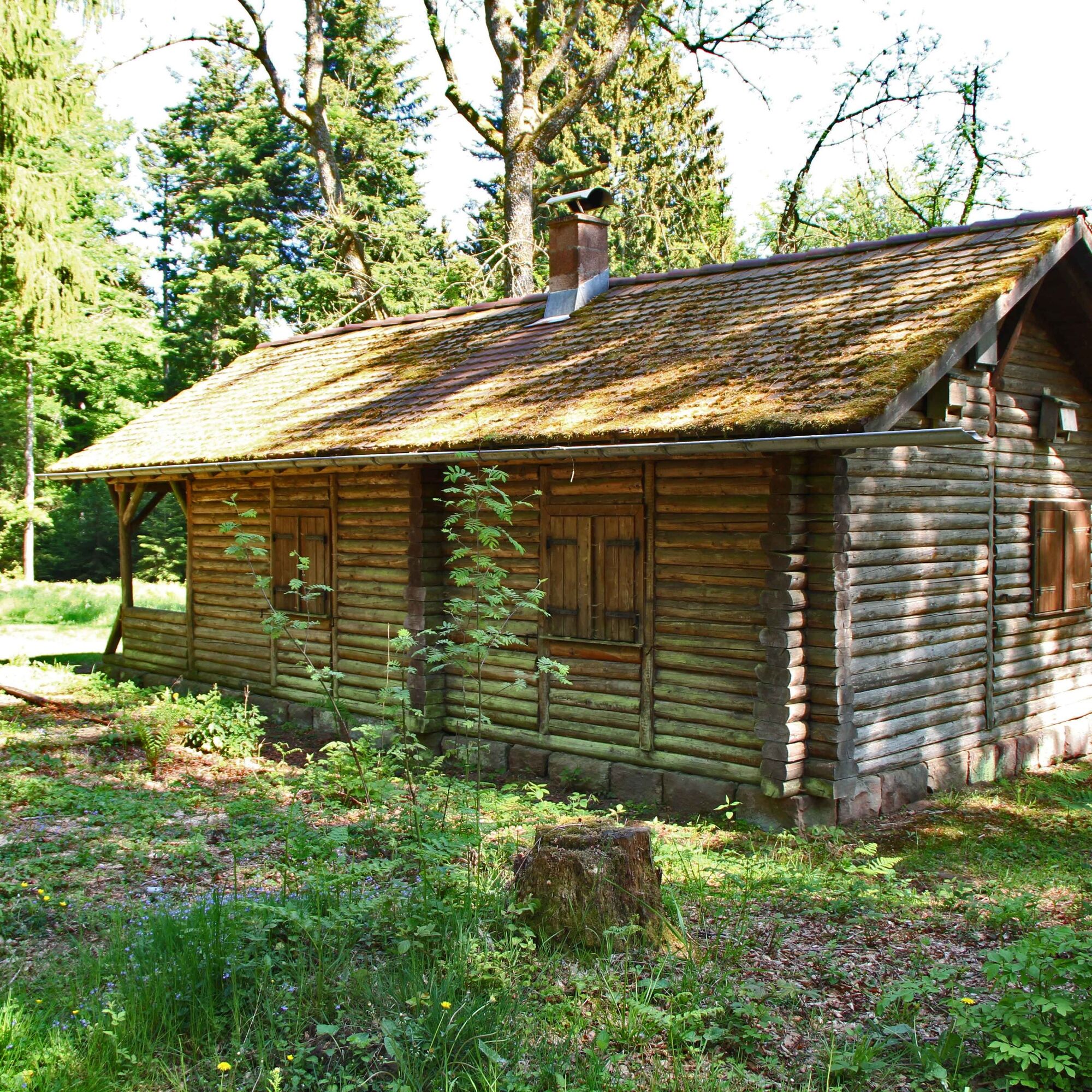

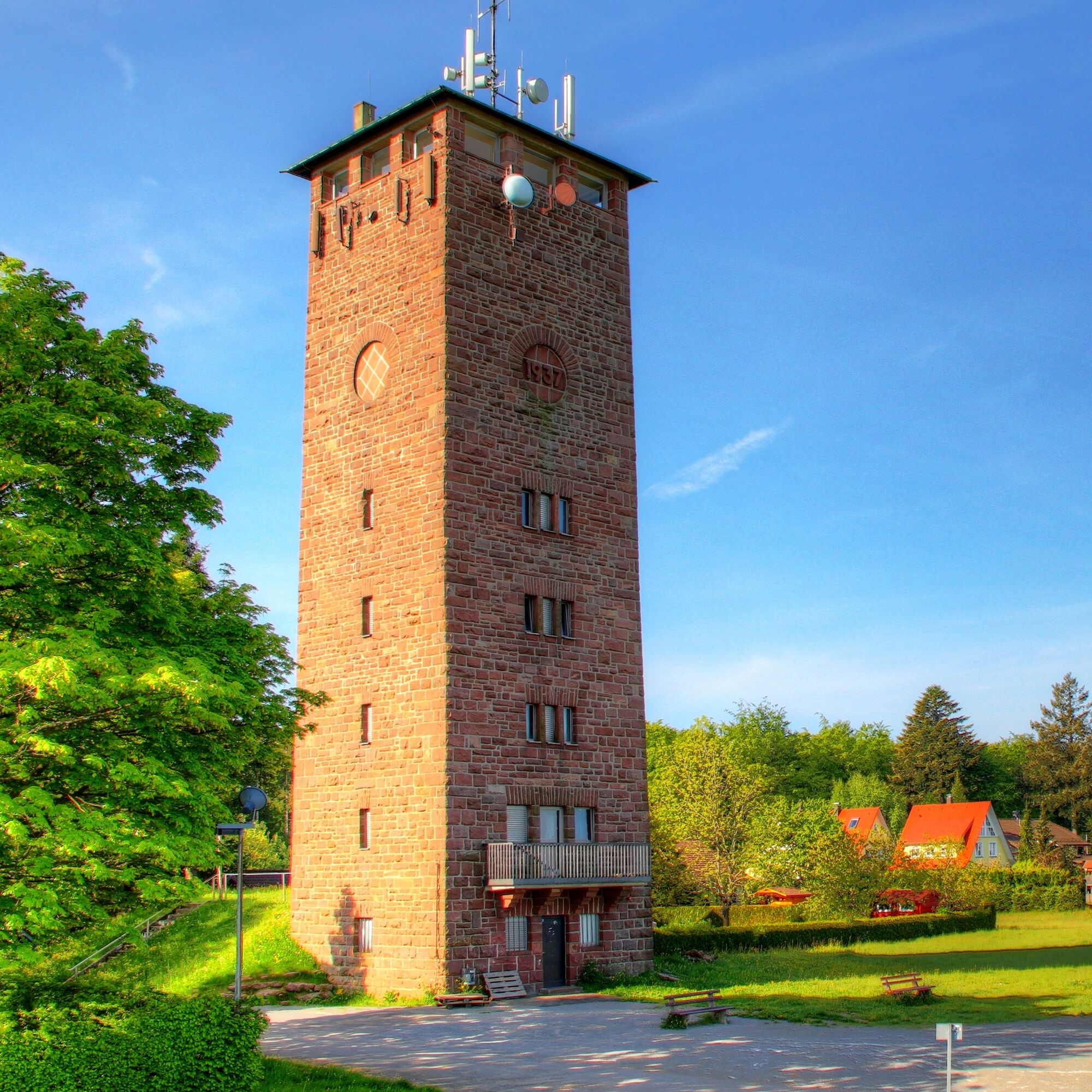
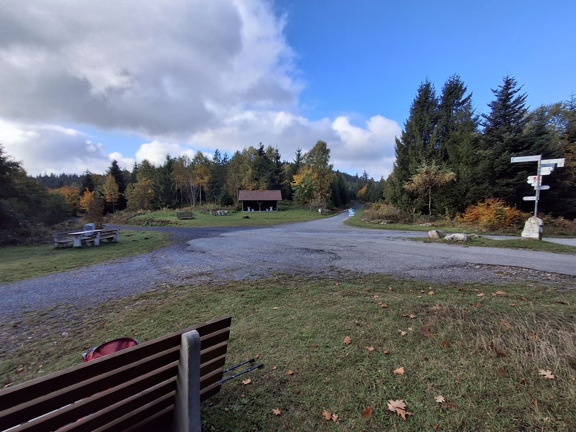
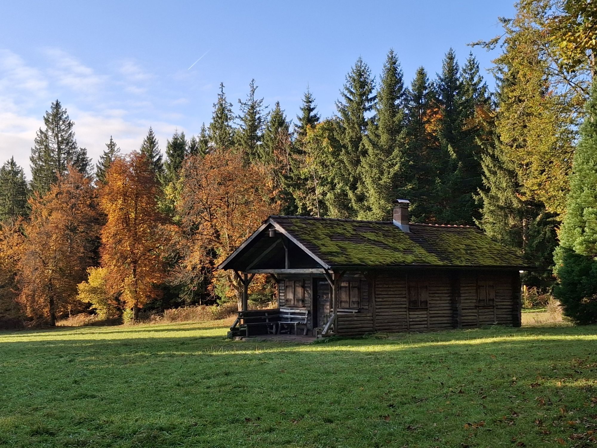
From the starting point "Westweg gate" at the Dobel Kurhaus, a short climb leads to the Dobel observation tower. This is open during the day from May to October. On the Westweg route, it goes downhill to the Plant Garden Shelter. Slightly to moderately ascending, after about 1 km you reach the Otto-Ochner-Weg, which leads us east and south below the Lerchenkopf to the Weithäusle. Weithäusle is a large "path junction" with a shelter. No fewer than 9 forest paths converge here. On the Hahnenfalzweg, very beautiful views of Bad Herrenalb are offered up to the Schweizerkopf Shelter. It is worth mentioning that on this section we move above the Hirschgrasloch cirque, a somewhat hidden relic from the last ice age. Since July 2015, shortly before the destination "Schweizerkopf Shelter", which is the second observation platform after the Dobel observation tower, you can relax lying down and enjoy the view. 300 m further, directly on the slope of the west side of the Schweizerkopf, which was cleared of trees by the storm "Lothar", the glazed shelter also offers a wonderful view. Below the hexagonal shelter with explanatory panels lies the Gaistal, a district of Bad Herrenalb. With good visibility, the view in the west can wander from the Baden-Baden mountains over the Rhine Plain to the Vosges. To the north lie the Albgau, Karlsruhe, Odenwald, and on the other side of the Rhine Graben, the Palatinate Forest.
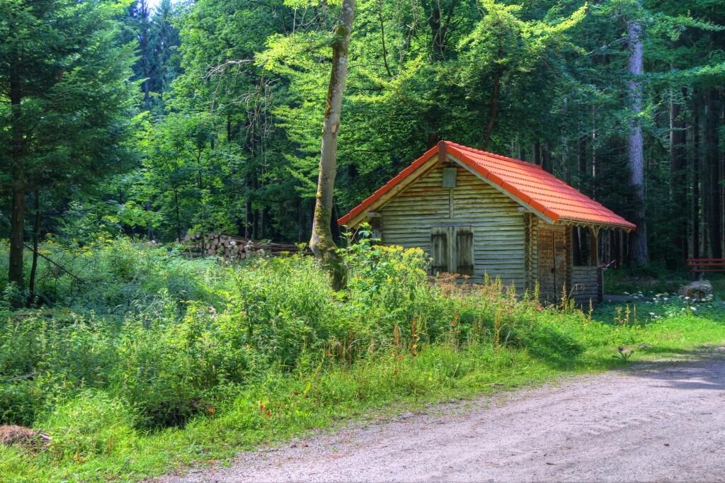
The return route follows the already walked panoramic route back to the Weithäusle. Over the paved path, the Stier Shelter is then reached. From there, the path continues to the Pfützenhäusle Square, where the "Lothar Cross" also stands. Past the sports field, we proceed along the road to the former water tower and from there back to the Westweg gate at the Kurhaus.
Ano
Sturdy footwear, provisions
From the Karlsruhe area via Bad Herrenalb and the L340.
From the Pforzheim and Calw area through the Enz valley (B294), from the Eyach bridge via the L340
Bus 719 (Bad Wildbad - Bad Herrenalb)
Bus 716 (Pforzheim - Bad Herrenalb)
Bus X63 (Calw-Bad Herrenalb)
Parking lot at Dobel Kurhaus
Dobel Spa Administration
Neue Herrenalber Str. 11
75335 Dobel
Tel. 07083 / 74513
Fax: 07083 / 74535
Oblíbené prohlídky v okolí
-
5.0
Circular route via spring nature trail and Wurstberg
světloTuristika 8.08 km -
4.7
Eyach round
středníTuristika 7.84 km -
4.3
Nature experience tour Kaltenbronn
středníTuristika 14.2 km -
4.0
Kaltenbronn Circular Route No. 1 - Wildsee Moor Loop
světloTuristika 8.30 km -
4.0
Spaziergang zum Bernsteinfelsen
středníTuristika 14.5 km -
AugenBlick route Bad Herrenalb Schweizerkopf
středníTuristika 15.5 km -
4.8
Weisenbacher Steig (Rechts der Murg)
středníTuristika 17.6 km -
4.3
The hang glider route
středníTuristika 9.09 km -
4.0
Bad Herrenalb town circuit
středníTuristika 10.5 km -
5.0
Rundwanderweg Sulzkar
středníTuristika 12.4 km

Pěší turistika a stopování


Nenechte si ujít nabídky a inspiraci pro vaši příští dovolenou
Vaše e-mailová adresa byl přidán do poštovního seznamu.