






Bad Herrenalb town circuit

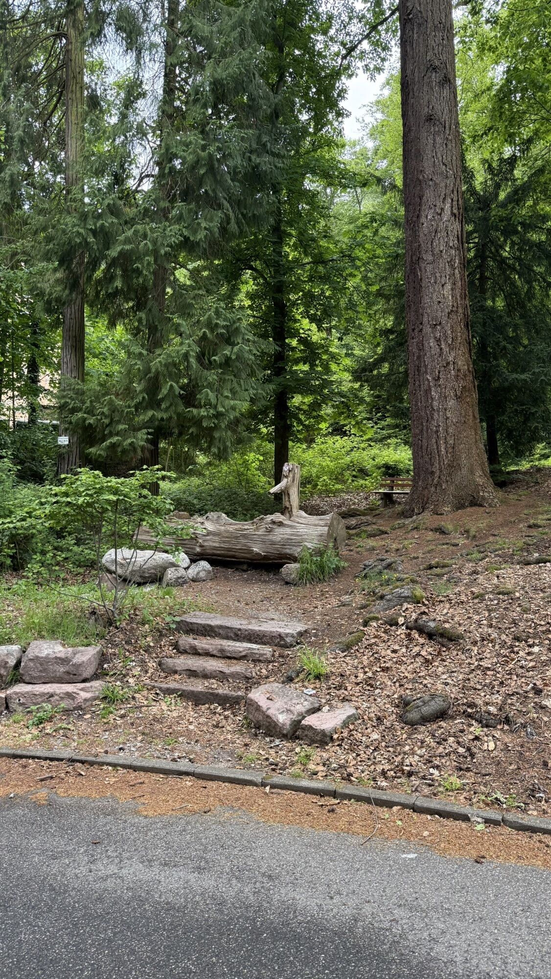
From Bad Herrenalb station, you walk towards the game reserve in the Dobel valley. From there it continues to Gaistal and back to Bad Herrenalb, past the monastery ruins. After a short stretch through...
From Bad Herrenalb station, you walk towards the game reserve in the Dobel valley. From there it continues to Gaistal and back to Bad Herrenalb, past the monastery ruins. After a short stretch through the town, the route ends again at the station.
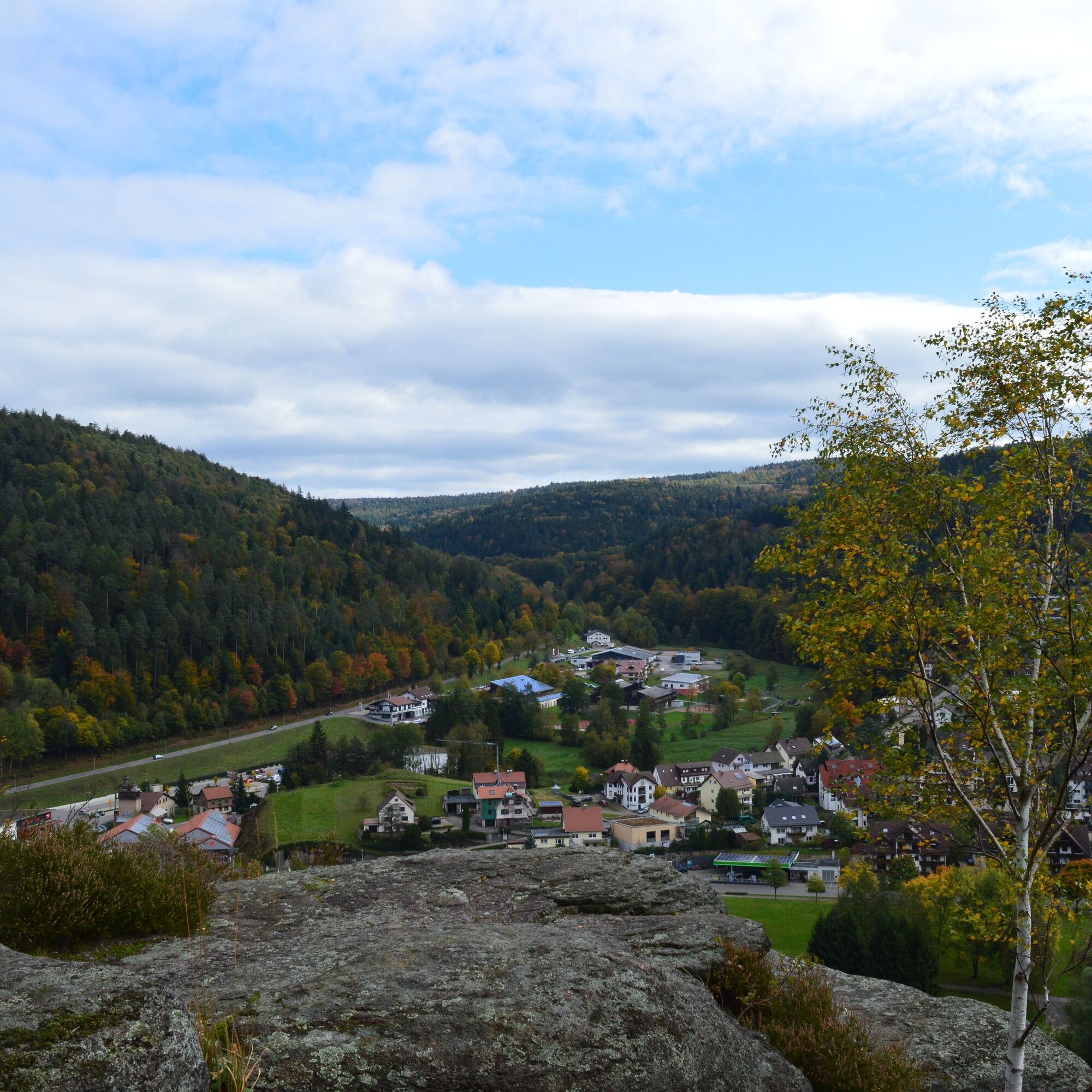
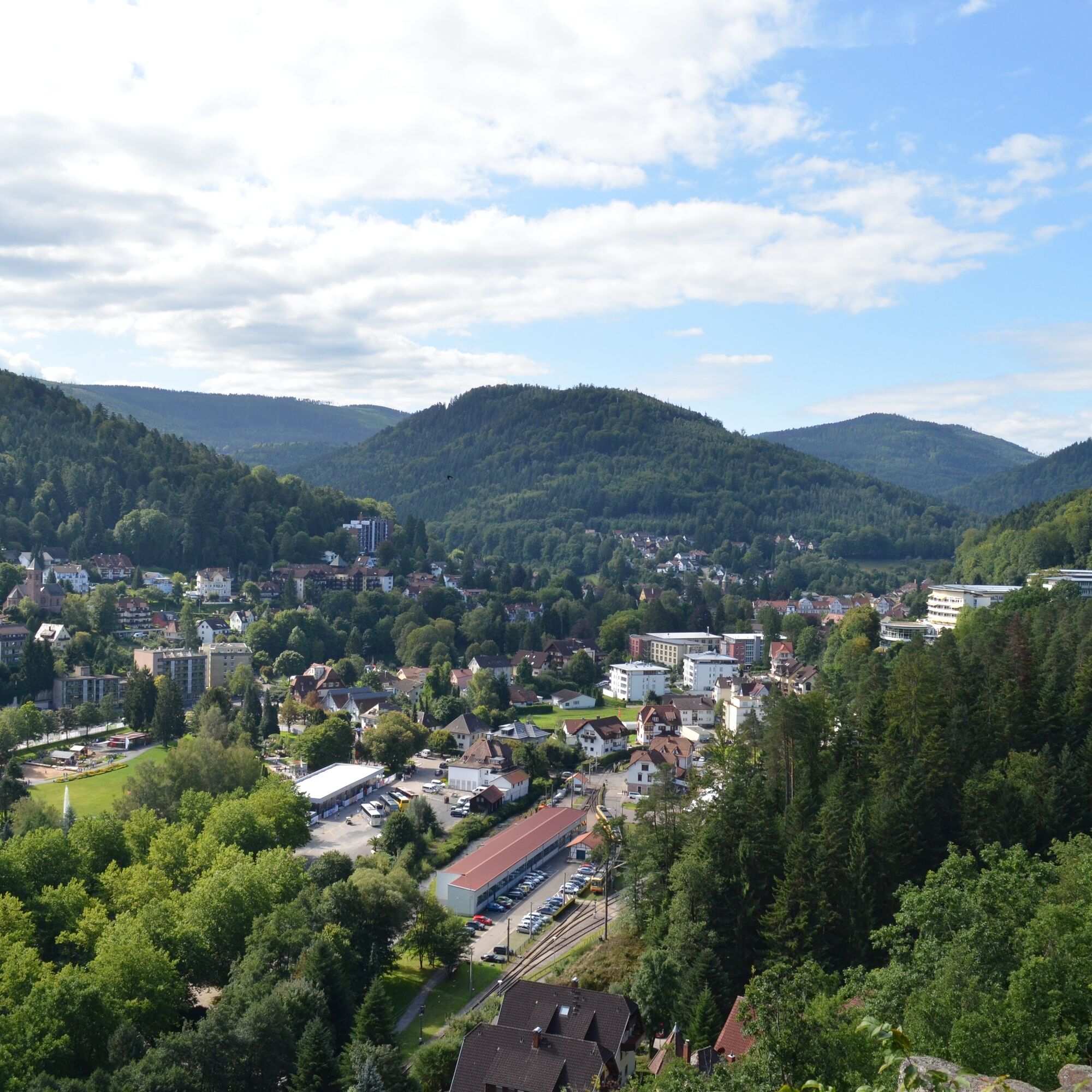
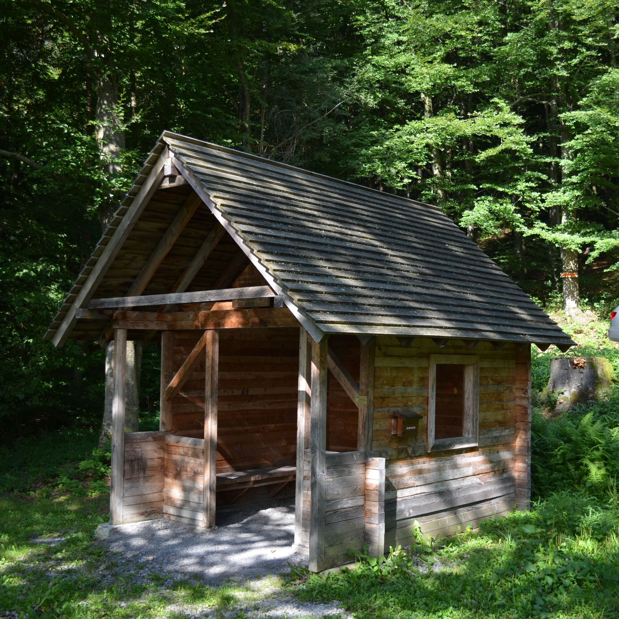
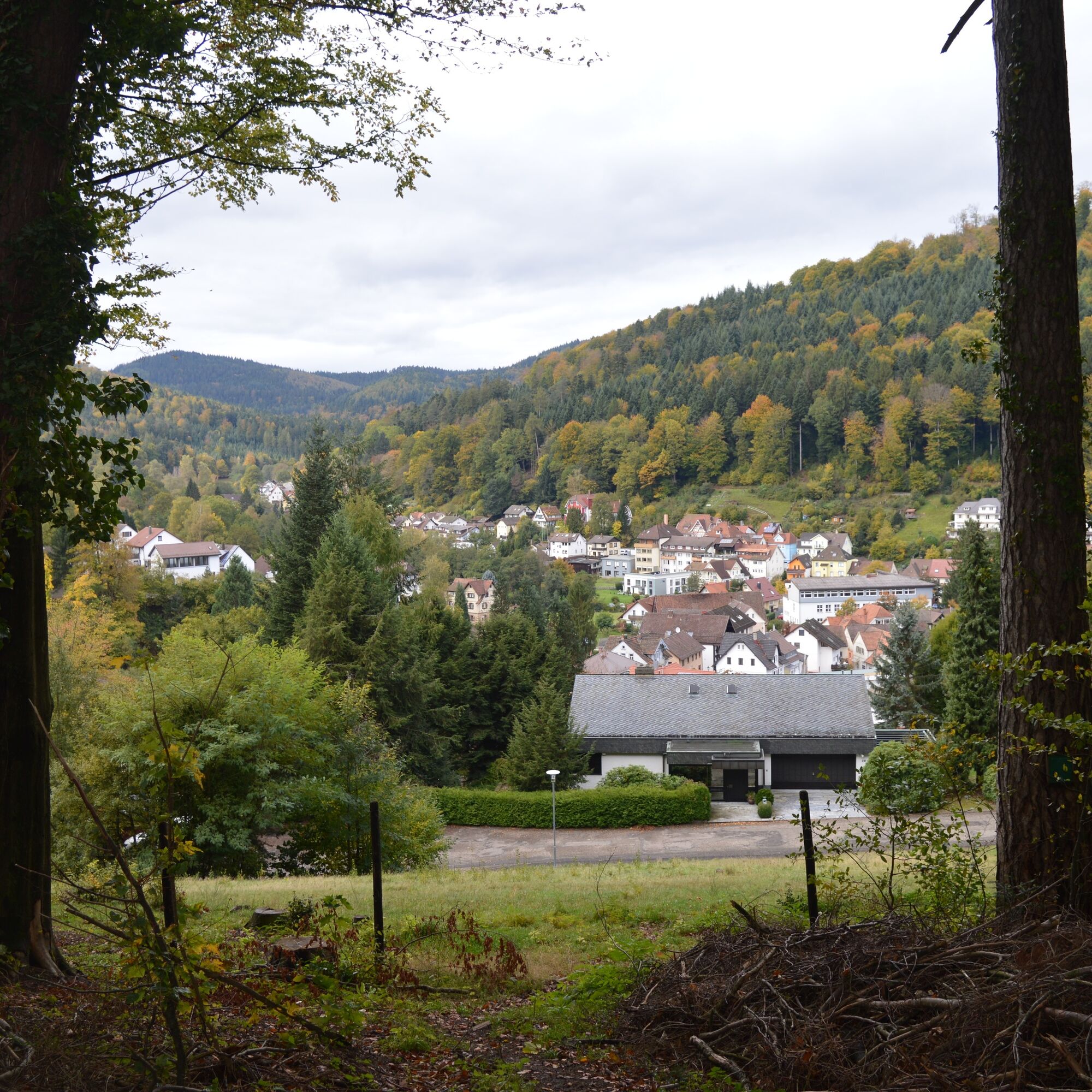

From the train station, we take Bahnhofstraße to Ettlinger Straße, cross it, and follow Bleichweg uphill.
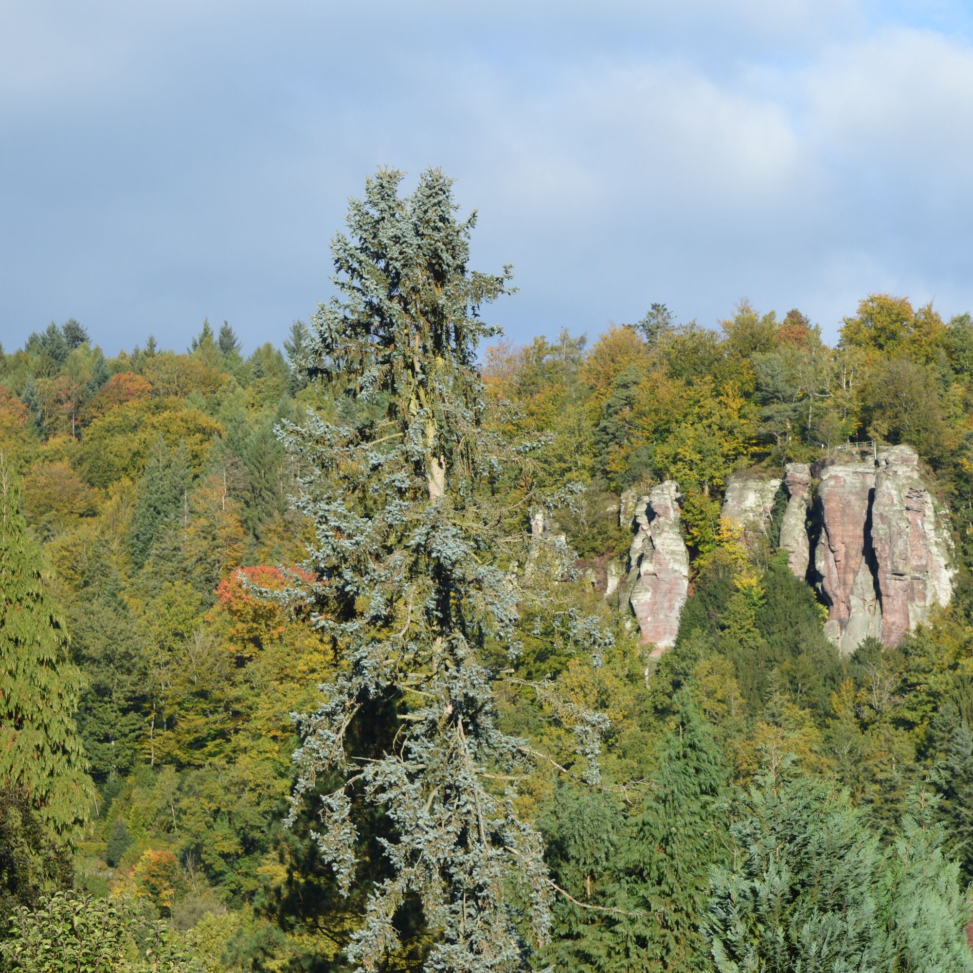
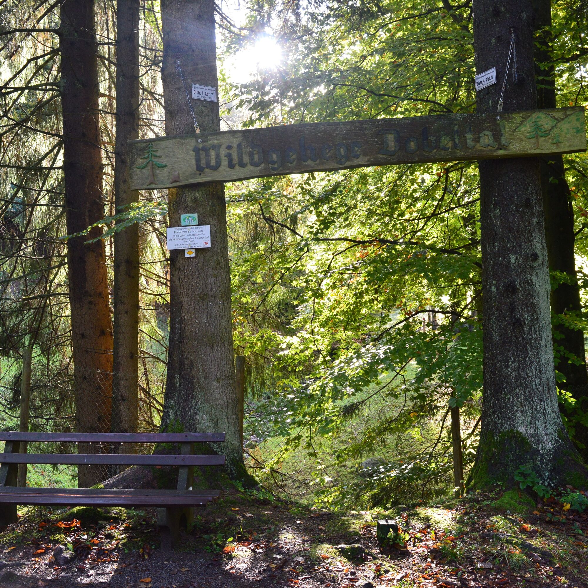
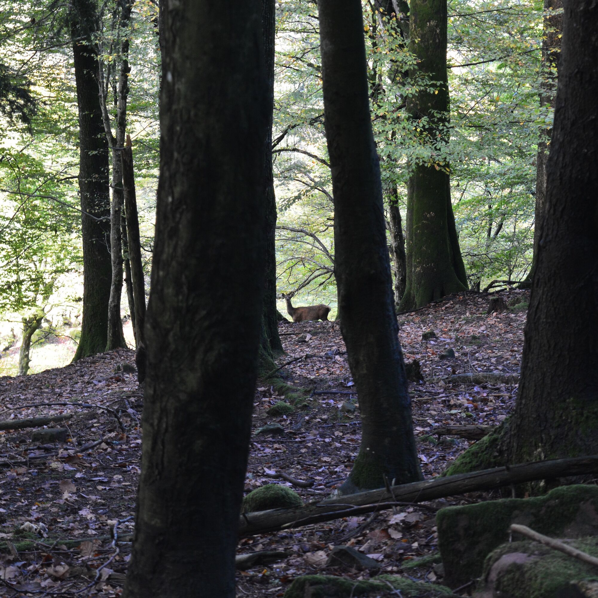
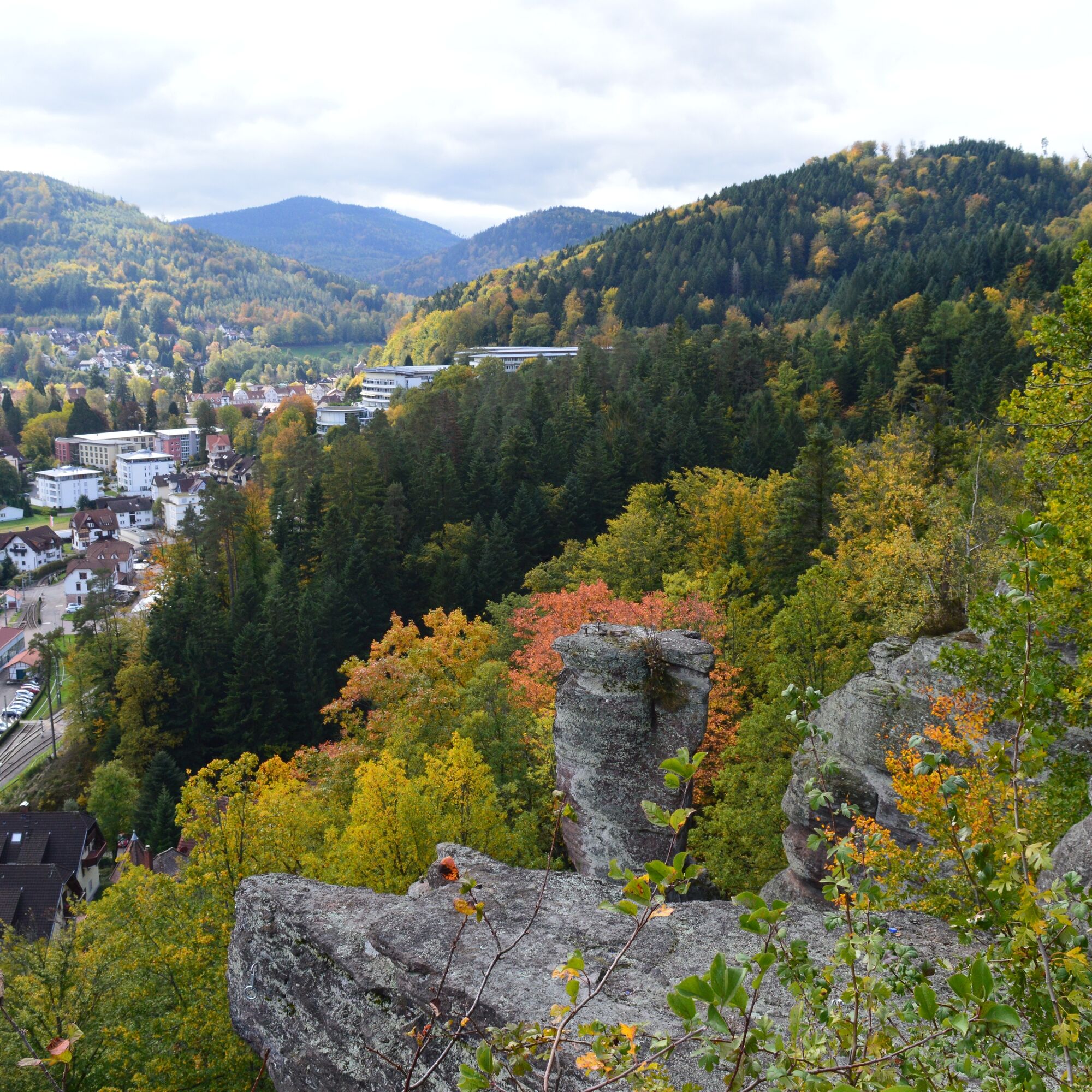
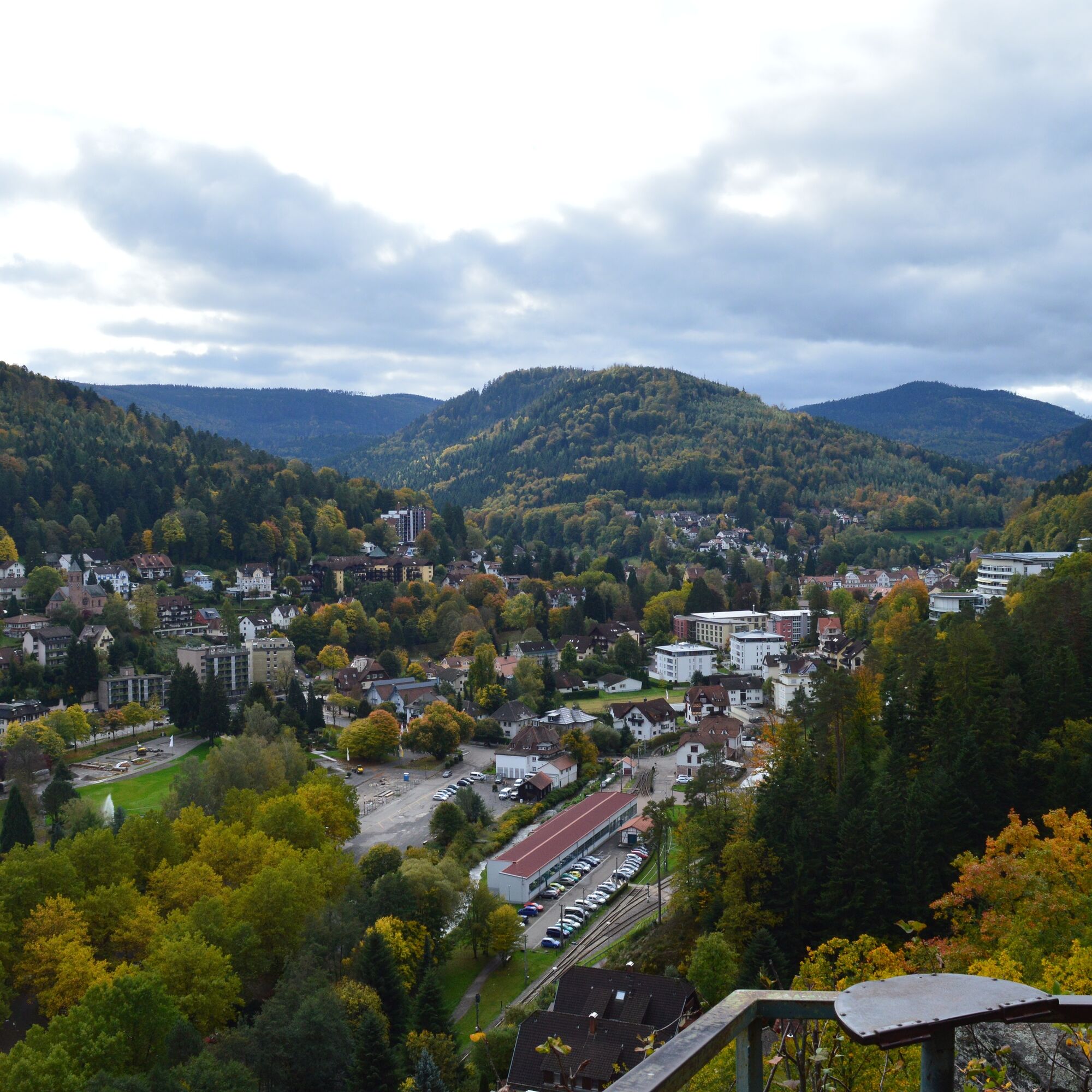
After about 500 m, we turn right onto Dobelbachweg. Following the course of the Dobelbach stream until it crosses the path. Here we turn right uphill past the Kneipp basin to the game reserve. We circle it and continue to the Graf-Berthold-Straße sign, turn left, and then immediately right into Tannwaldstraße. We follow this until Dobler Straße, which we cross. Via a small path, we reach a footpath to the right heading towards Unteres Gaistal. At the crossroads, we follow Jägerweg to the trail marker stone. Then we zigzag down to Badweg. We follow Badweg to the road, which we follow downhill to Gaistalstraße, where we turn left. We walk along Gaistalstraße until shortly afterwards Predigerweg branches off on the right. We follow it back to the center, past the monastery complex through the archway to the Tourist Information at the town hall. We cross the roundabout and go up Bernsteinweg past the SRH health center to the Falkenstein rocks. From there, a path continues downhill to a large rock. Without markings, at the rest bench, turn right along the path on the slope. At the next old trail stone, continue straight across a stream. Along the edge of the slope, past wet rocks, to a large trail junction with a rest bench. Do not take Laternenweg, but go steeply downhill left directly to the train station.
Ano
Ano
Good footwear
By car:
Coming from Frankfurt or Basel, take the A5 motorway, exit Ettlingen, then follow the signs.
Coming from Stuttgart, take the A8 motorway, exit Karlsbad/Bad Herrenalb, then follow the signs.
Public transport:
Take the S1 from Karlsruhe central station via Ettlingen to Bad Herrenalb station.
With the S1 from Karlsruhe via Ettlingen to Bad Herrenalb station
There are free parking spaces at Bad Herrenalb station
Paid parking at the Siebentäler thermal baths
Tourism and City Marketing Bad Herrenalb
Rathausplatz 11
76332 Bad Herrenalb
Tel: 07083/5005 55
Fax: 07083/5005 44
Email: info@badherrenalb.de
This route is suitable in unsettled weather because you can quickly return to the town from any point.
Great view from Falkenstein!



Oblíbené prohlídky v okolí
-
4.5
Circular route via spring nature trail and Wurstberg
světloTuristika 8.08 km -
4.8
Eyach round
středníTuristika 7.84 km -
4.3
Kaltenbronn Circular Route No. 1 - Wildsee Moor Loop
světloTuristika 8.30 km -
4.2
Nature experience tour Kaltenbronn
středníTuristika 14.2 km -
3.0
Dobel High-Altitude Route
středníTuristika 11.8 km -
4.8
Weisenbacher Steig (Rechts der Murg)
středníTuristika 17.6 km -
4.0
Walk to Bernsteinfelsen
středníTuristika 14.5 km -
AugenBlick route Bad Herrenalb Schweizerkopf
středníTuristika 15.5 km -
5.0
Rundwanderweg Sulzkar
středníTuristika 12.4 km -
4.3
The hang glider route
středníTuristika 9.09 km
Pěší turistika a stopování


Nenechte si ujít nabídky a inspiraci pro vaši příští dovolenou
Vaše e-mailová adresa byl přidán do poštovního seznamu.





