



Idyllic silence - hike into Eyachtal


The hike into Eyachtal impresses with two highlights that make the ascents and descents worthwhile. After the first ascent, the rest area at Pfützenhäsle invites you to gather energy for the descent into...
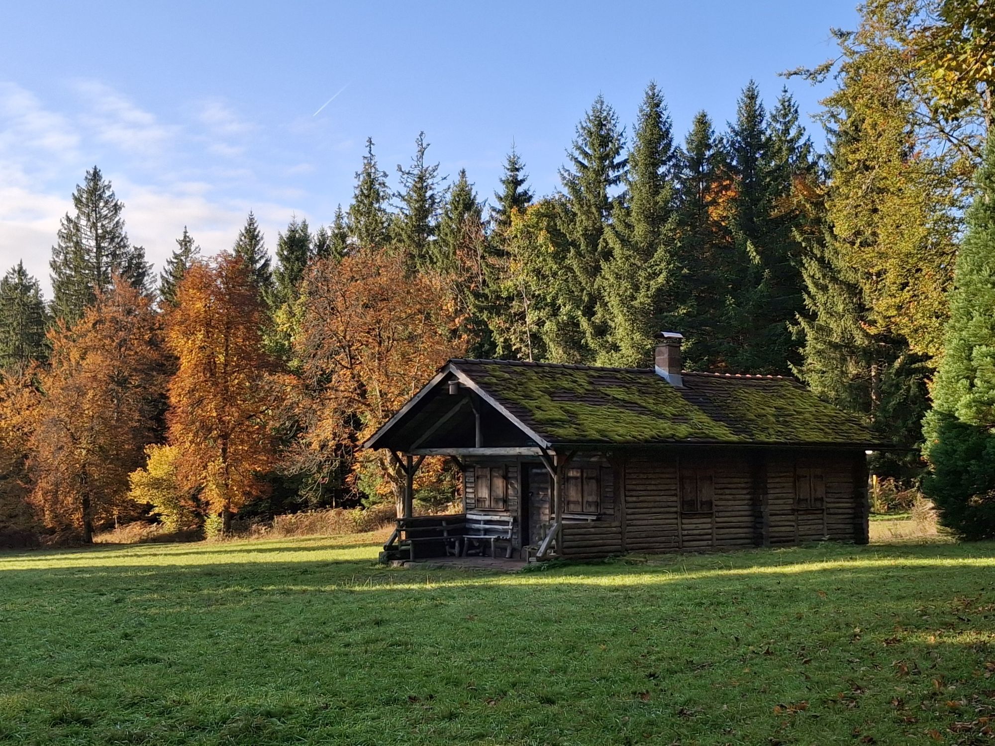
The hike into Eyachtal impresses with two highlights that make the ascents and descents worthwhile. After the first ascent, the rest area at Pfützenhäsle invites you to gather energy for the descent into the lovely Eyachtal. Once there, delicious regional trout dishes tempt you at the Gasthaus Eyachmühle. Refreshed, the ascent to Sonneninsel Dobel can be mastered. The former water tower offers a breathtaking panoramic view.


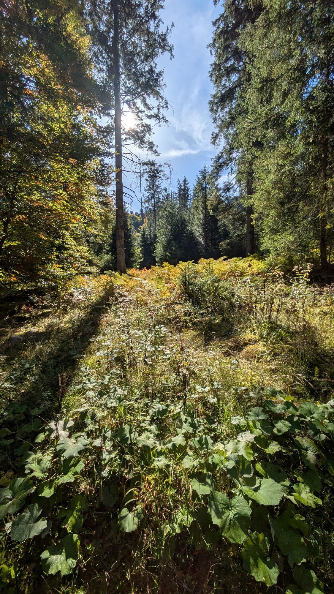
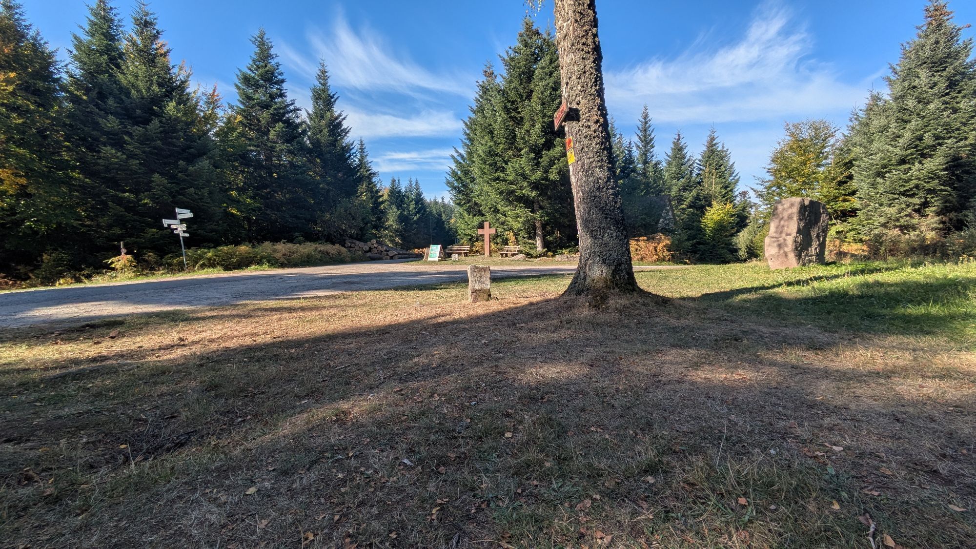
The hike begins at the Tourist-Info Bad Herrenalb. At the roundabout, we follow Dobler Street to the Old Dobler Street, which branches off to the right. At its end, we take the left footpath towards Dobel passing the Hermann Huchler Fountain. At the water kiosk, we continue along the Knieschnapper towards Sonneninsel Dobel. This crosses the Lower Brenntenwald path and leads us onto the Hunter's Path. We follow this until a path on the right leads upward to Brenntenwald (Attention: there is a spray marking with three fir trees on the tree, follow this!). Upon arriving at Brenntenwald, we take the Pfützenhäsleweg uphill to the Pfützenhäsle. The rest area invites you to gather your strength before we dare the descent into Eyachtal. We follow the signs towards Eyachtal past the plant garden and the rare spring. Here we turn right onto the Lehmann's Path and follow it until we cross the Stollenweg. At that point, we turn left and continue down into the lovely Eyachtal.
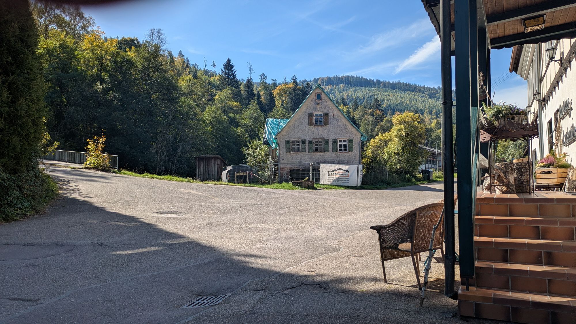
Arriving in Eyachtal, we follow the road to the left until we reach the Gasthaus Eyachmühle, which invites you to rest with delicious and regional dishes. Refreshed, we dare the ascent towards Dobel from the Eyachmühle. Following the signs over the meadow to the Mannenbächle, we continue. After ascending at the Mannenbach spring, we take the path on the right side and enjoy the natural trails until we can see the first houses of Dobel. Our path leads us over the lush meadows to the "Siedlung" street, which we follow to the right. At the next intersection, we turn left into the Höhenstraße and hike towards the observation tower. Once there, the climb is worthwhile – it offers a fantastic view. We then continue through the Kurpark past the Westweg gate to the bus stop "town center". From there, bus 716, 719, or X63 takes us back to Bad Herrenalb.
Alternative: Follow the Black Forest Club signage back to Bad Herrenalb. Either via Maienberg or via the elevated villages Rotensol and Neusatz.
Weather-appropriate clothing, sturdy footwear, and provisions are recommended.
By car:
Coming from Frankfurt or Basel, take motorway A5, exit Ettlingen, then follow the signs.
Coming from Stuttgart, take motorway A8, exit Karlsbad/Bad Herrenalb, then follow the signs.
By public transport:
Take the S1 from Karlsruhe main station via Ettlingen to Bad Herrenalb station.
KONUS route:
Alternative route: From Eyachbrück, you can take bus 719 or regional bus X63 back to Bad Herrenalb.
From Dobel, you can take regional buses 719, 716, or regional bus X63 back to Bad Herrenalb.
Information on connections can be found at www.kvv.de.
With your KONUS guest card, which you receive through the tourist tax contribution from one overnight stay in Bad Herrenalb, you can travel free of charge throughout the entire Black Forest area (more information about the KONUS card is available at www.badherrenalb.de).
P+R at Bad Herrenalb train station
Paid parking at the town entrance (coming from Ettlingen, turn right at the roundabout)
Paid parking at the thermal baths
Paid parking at the town hall
Paid parking at Sägwasenplatz
Hiking parking lot Albtalweg above the Bad Herrenalb cemetery (free of charge)
The signage of this route follows the Black Forest Club markings. Always pay attention to the lozenges and signposts of the Black Forest Club!
Tourist Info Bad Herrenalb
Rathausplatz 11
76332 Bad Herrenalb
Tel: 07083/5005 55
E-Mail: info@badherrenalb.de
www.badherrenalb.de
Stopover at the Gasthaus Eyachmühle and the breathtaking panoramic view from the former water tower in Dobel.


Webové kamery z prohlídky


Oblíbené prohlídky v okolí
-
4.5
Circular route via spring nature trail and Wurstberg
světloTuristika 8.08 km -
4.3
Kaltenbronn Circular Route No. 1 - Wildsee Moor Loop
světloTuristika 8.30 km -
4.8
Eyach round
středníTuristika 7.84 km -
4.7
premium hiking trail Enzquellenpfad
středníTuristika 19.9 km -
4.2
Nature experience tour Kaltenbronn
středníTuristika 14.2 km -
3.0
Dobel High-Altitude Route
středníTuristika 11.8 km -
4.8
Weisenbacher Steig (Rechts der Murg)
středníTuristika 17.6 km -
4.3
Walk to Bernsteinfelsen
středníTuristika 14.5 km -
AugenBlick route Bad Herrenalb Schweizerkopf
středníTuristika 15.5 km -
5.0
Rundwanderweg Sulzkar
středníTuristika 12.4 km
Pěší turistika a stopování


Nenechte si ujít nabídky a inspiraci pro vaši příští dovolenou
Vaše e-mailová adresa byl přidán do poštovního seznamu.


