


Hornberg Panorama Trail
Úroveň obtížnosti: T1
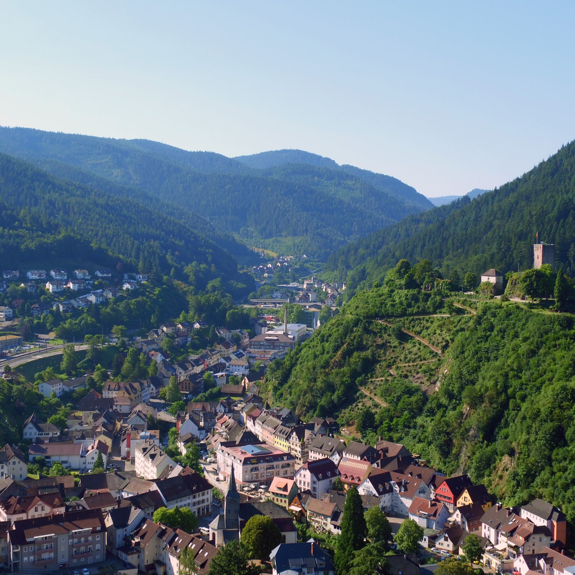
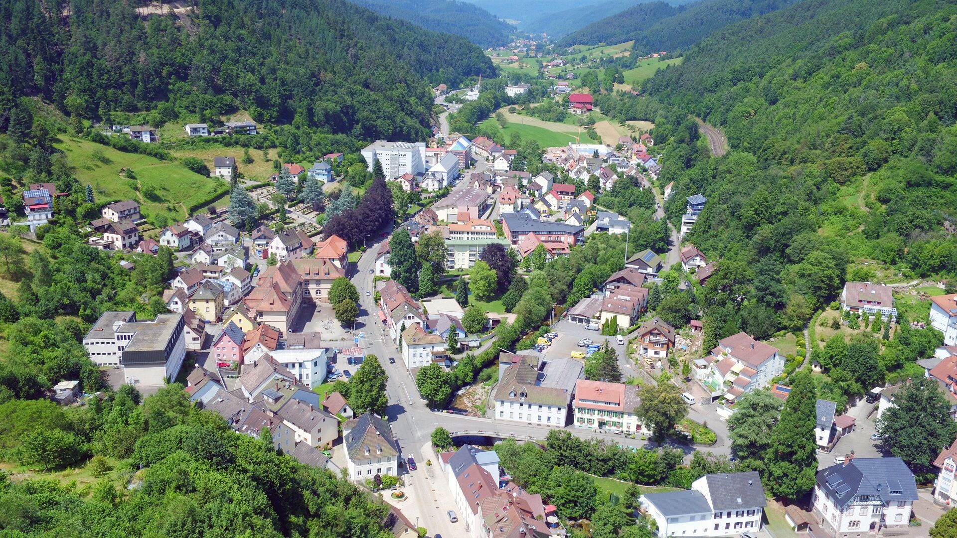
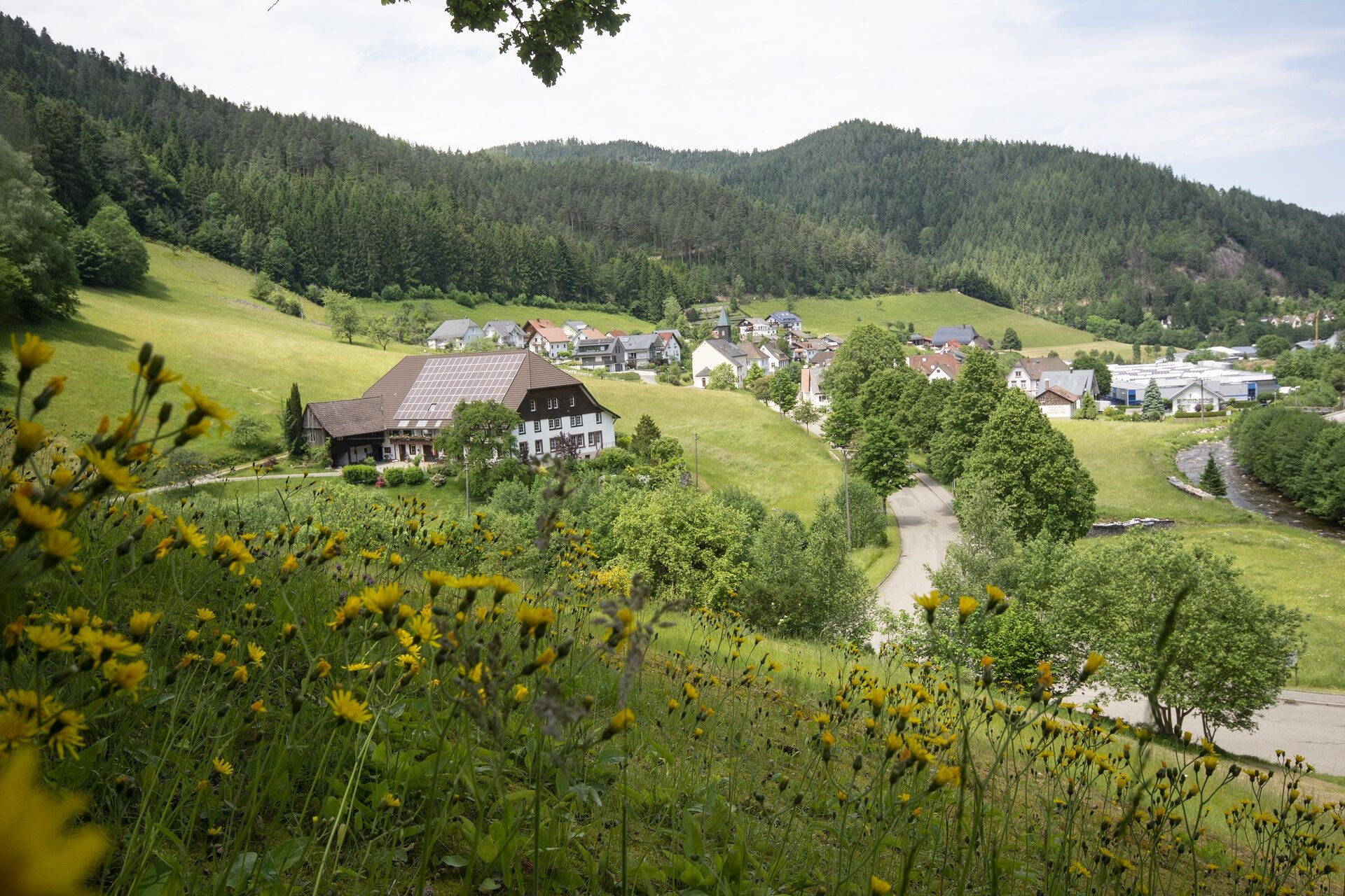
Mostly on shaded paths, the trail leads through forests to the charming destination, the historic Schlossberg with the castle ruins and panoramic views of the "largest model railway in operation" - Hornberg...
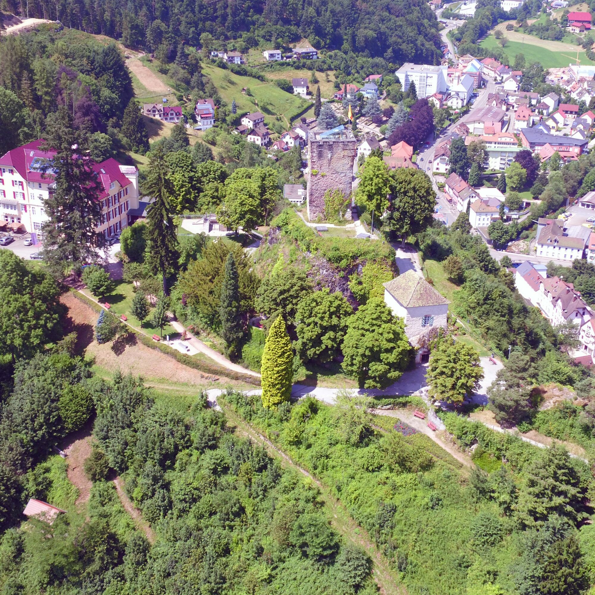
Mostly on shaded paths, the trail leads through forests to the charming destination, the historic Schlossberg with the castle ruins and panoramic views of the "largest model railway in operation" - Hornberg on the Black Forest Railway with the viaduct. The 19 m high castle tower, from which the beautiful view over the Gutach valley can be enjoyed, can be climbed. Other highlights along the way include the viewpoint at Teufelstritt and the Straßerhof mill, an old Black Forest mill from the 19th century. Along the forest paths there are always rest and barbecue spots to relax. Open viewpoints repeatedly show Hornberg with its valleys and forests from different perspectives.

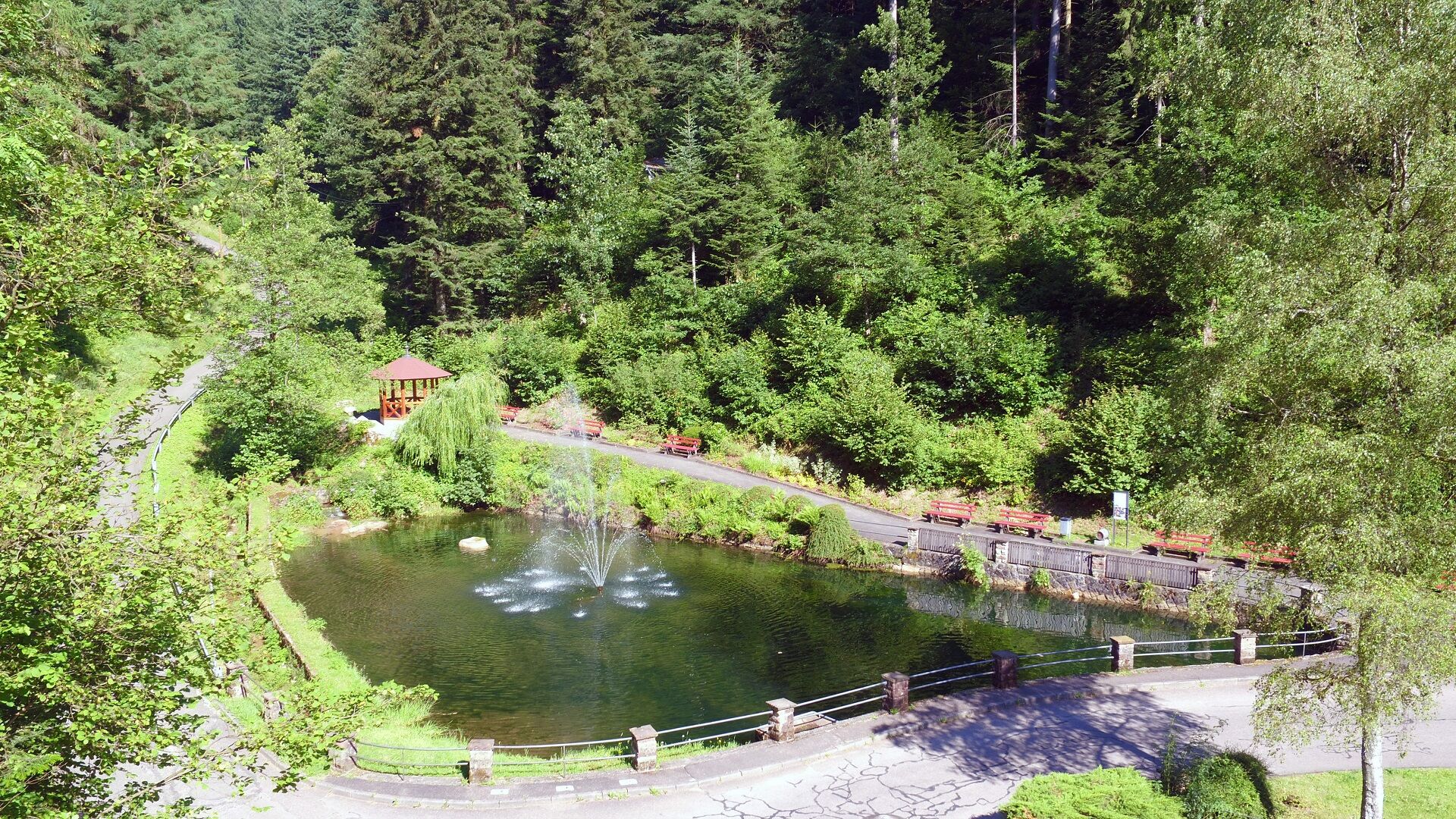
We start at the Schlossweiher heading towards Schlossberg. Along the Bürgermeister-Vogel-Weg past the Behagelhütte we reach the ZIG (Center for Innovation and Commerce), where we then cross the main street. Over a small bridge we reach the Markgrafenwiese, which leads directly to the Markgrafenhof. Under the railway line we follow the street towards Franziskusheim, then continue over a hiking path to the Rebberg.
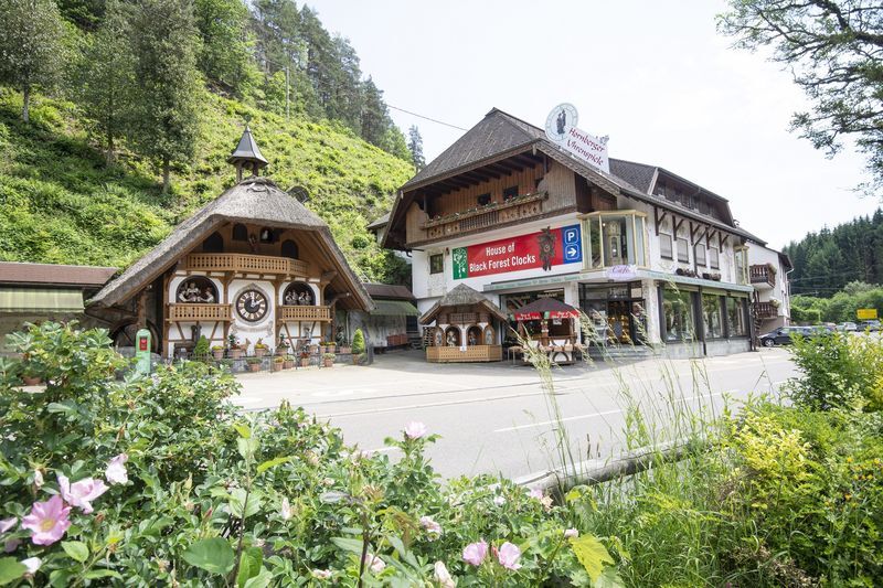
Accompanied by a good view of Hornberg, we reach the former youth hostel and continue to the Strasserhof. There, the Reichenbacher street must be crossed, which is then followed towards the town up to the junction with Schwanenbacher street.
Via Schwanenbacher street one reaches the Schachen, which in turn leads to Franz-Schiele street. Follow this for about 300 m before turning left over the hiking parking lot Gesundbrunnen to Kahliebrunnen, which leads directly into the residential area "Rubersbach". Continuing over Kirchbühl you reach Café Rössle in the district Niederwasser. There you pass through the village and pass the cemetery into the Frombach valley.
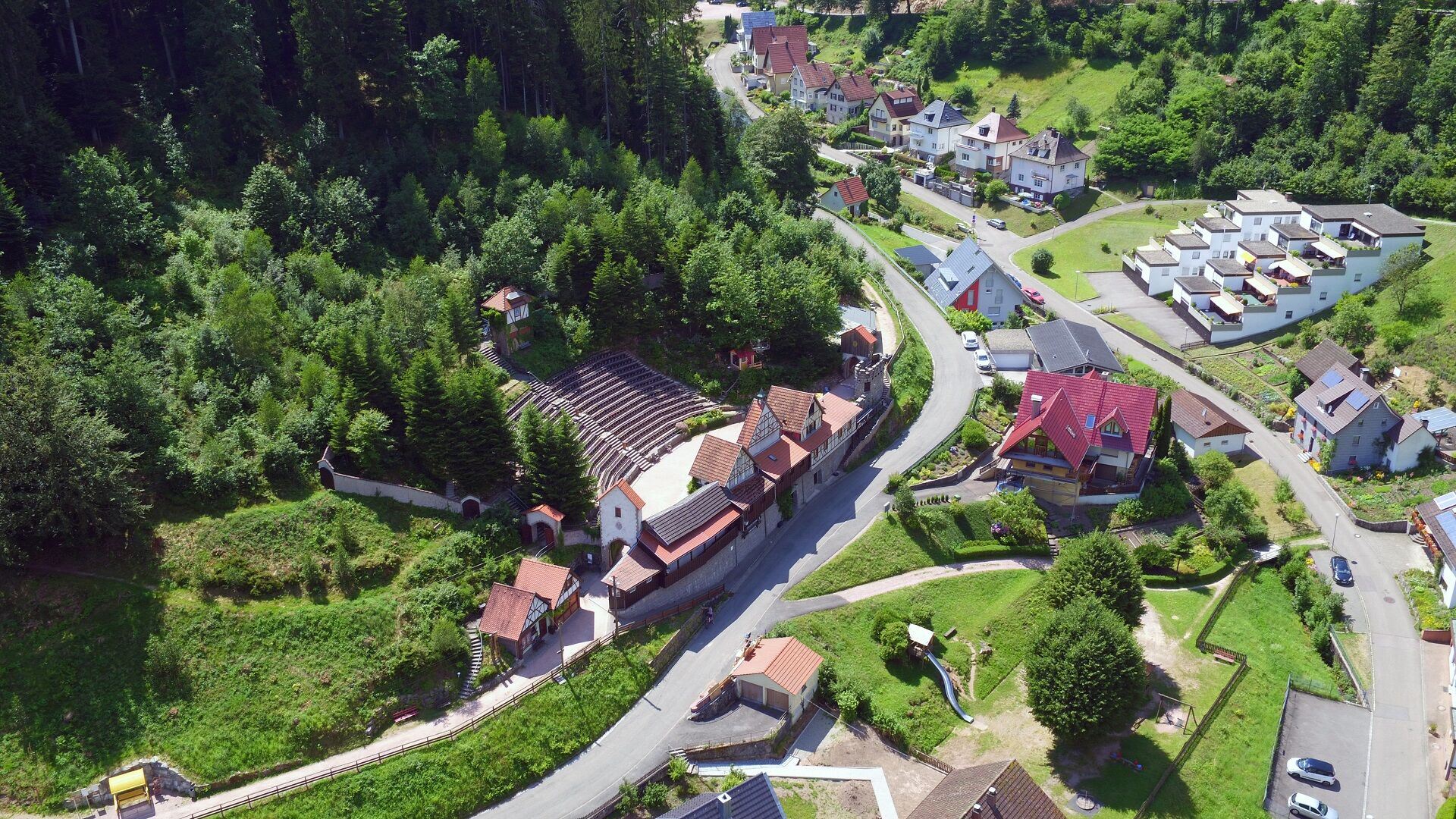
At Hasenbauernhof change sides of the valley and return via Steudelsruhe, Paul-Schoffer-Weg past the Seufzerbank and the open-air stage back to the starting point, the Schlossweiher.
Sturdy and well-broken-in footwear. Bringing provisions in a backpack is recommended.
From the south: Before the tunnel, turn right towards Hornberg. Next left at the Duravit Design Center, then follow the street "Zum Storenwald" straight ahead.
From the north: Before the tunnel, turn left towards Hornberg. In the town center, turn right before the bookstore into Schlossstraße. Follow the street to the end, then turn right.
Hornberg train station - about 15 min to the Schlossweiher
There is a parking lot at the Schlossweiher.
T1
Tourist Information Hornberg
Bahnhofstr. 1-3
78132 Hornberg
Tel. 0 78 33 / 793 44
Fax. 0 78 33 / 793 29
tourist-info@hornberg.de
www.hornberg.de
Refresh yourself with a cool drink in the beer garden of the Schlosshotel Hornberg with a magnificent view of the Gutach valley.
Oblíbené prohlídky v okolí
- 4.7
Ortenau legend circular routes: Devil's Pulpit
středníTuristika 10.2 km - 4.3
Paradiessteig Hofstetten
středníTuristika 12.8 km - 4.8
AugenBlick-Runde Lauterbach Güntersberg
světloTuristika 10.2 km Triberger Wasserfälle naar Prizen
středníTuristika 11.5 km- 4.5
Genießerpfad - U(h)rwaldpfad Rohrhardsberg
středníTematická stezka 8.70 km - 3.0
Lauterbach High Valley Circuit in the hiking paradise Alb - Black Forest
světloTuristika 10.7 km - 5.0
Wolfach settlers' loop large round
středníTuristika 9.04 km - 3.5
Circular hike on the Black Forest Railway Experience Trail
středníTuristika 6.56 km Over the Blindensee lake to Wilhelmshöhe
středníTuristika 16.0 km- 4.5
Waldsee circular route to the Urenkopf tower
středníTuristika 7.30 km
Pěší turistika a stopování


Nenechte si ujít nabídky a inspiraci pro vaši příští dovolenou
Vaše e-mailová adresa byl přidán do poštovního seznamu.