







Ortenau legend circular routes: Devil's Pulpit
Úroveň obtížnosti: T1

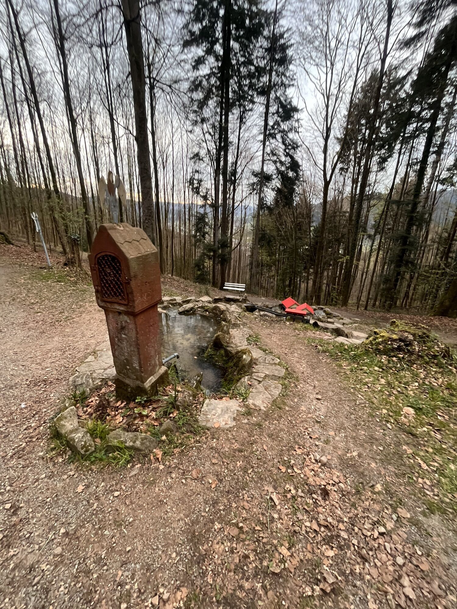
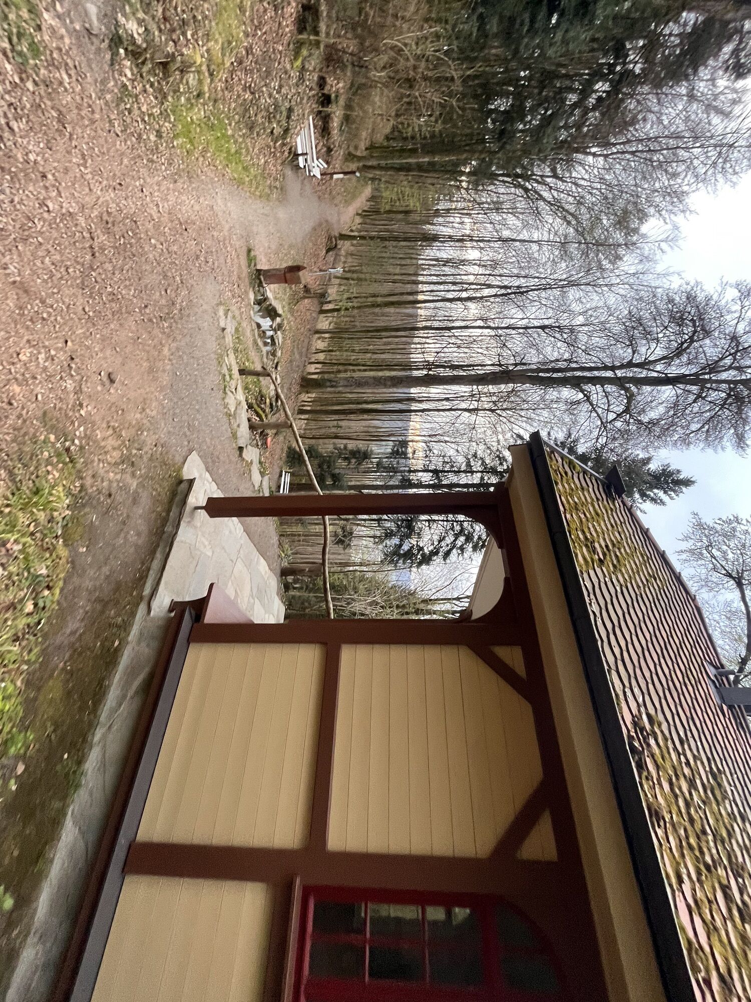
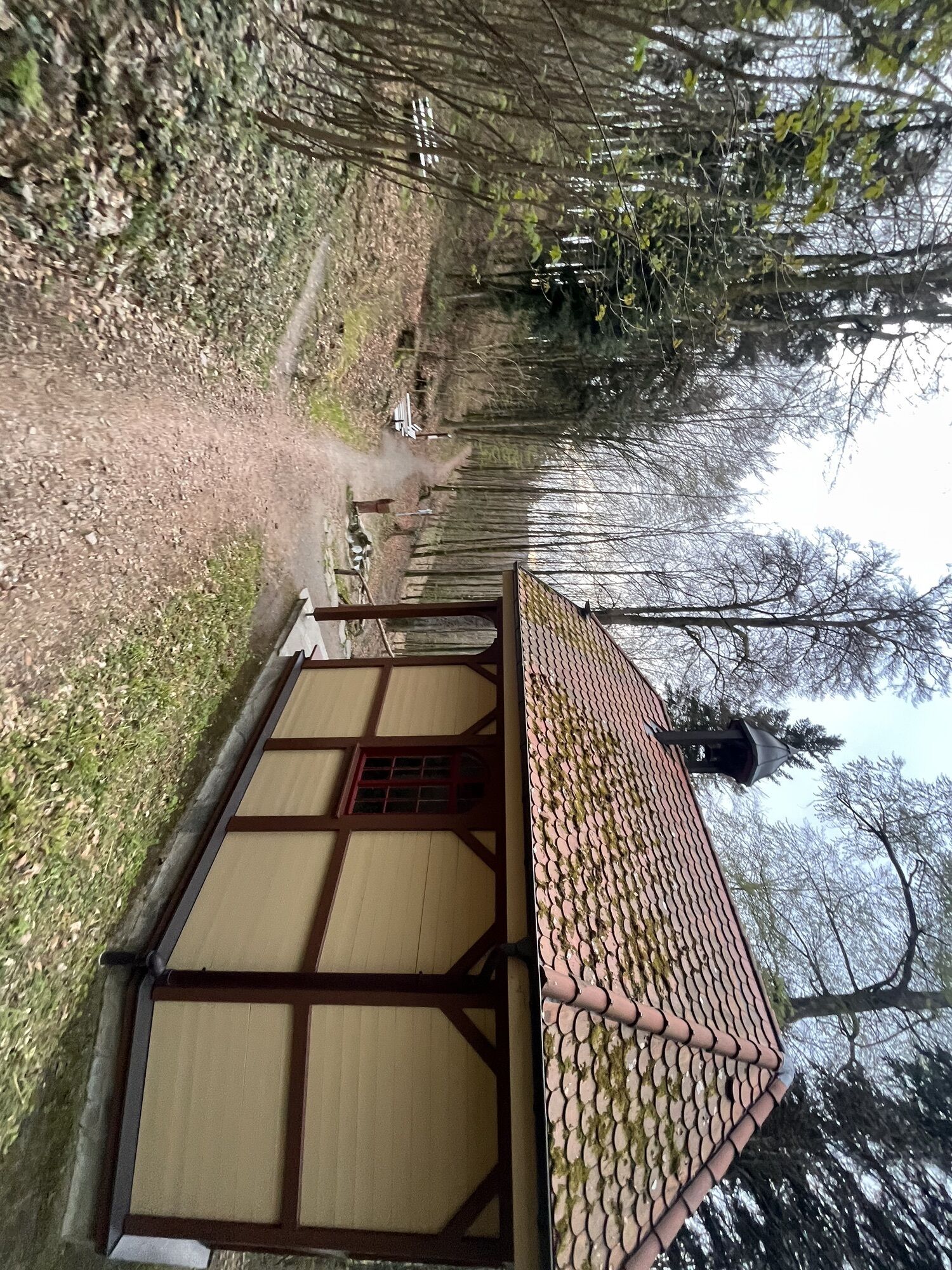
The almost 3 1/2-hour route of the Haslach legend circular path begins at the Tourist Information Haslach. From the Old Capuchin Monastery, it goes via the Stations Path, the Sacred Spring, and the Sandhaasen...
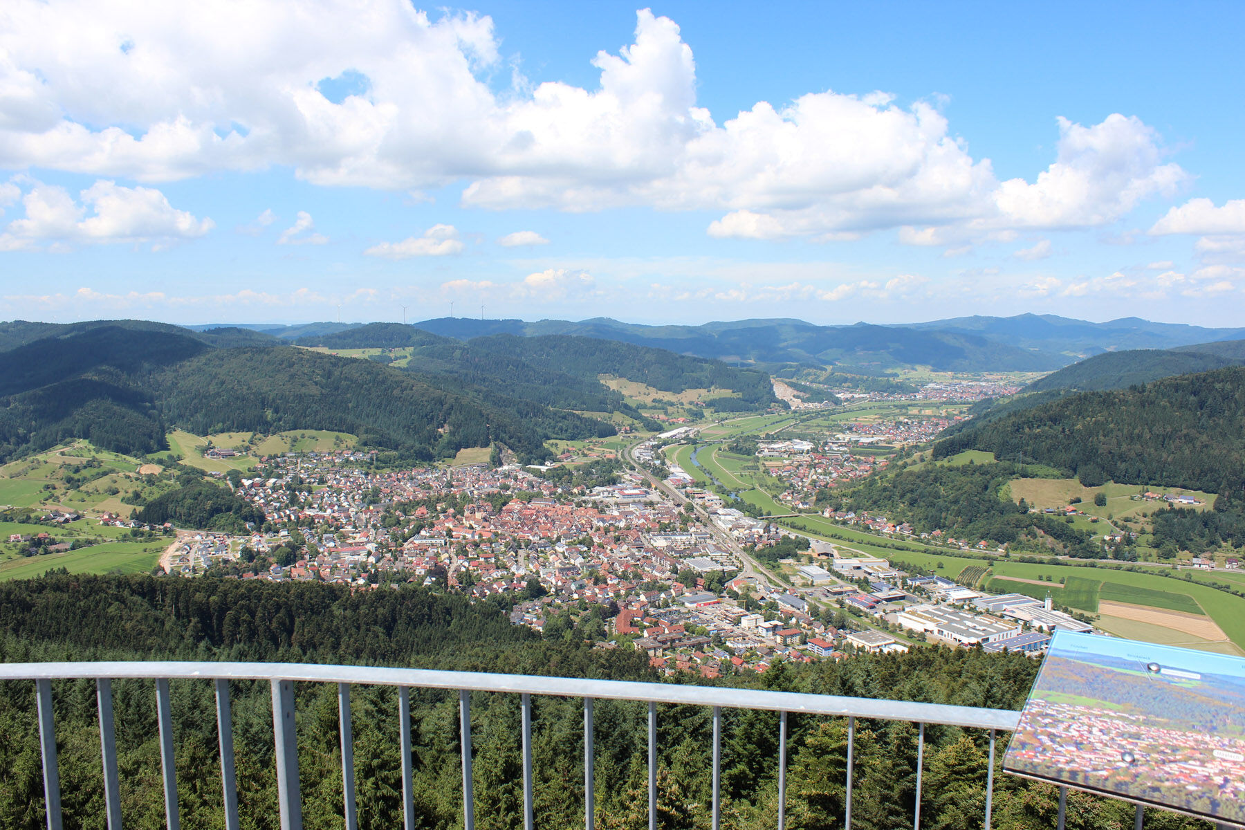
The almost 3 1/2-hour route of the Haslach legend circular path begins at the Tourist Information Haslach. From the Old Capuchin Monastery, it goes via the Stations Path, the Sacred Spring, and the Sandhaasen Hut to the Urenkopf, the highest mountain in the Haslach district. The observation tower there invites you to take a short break to enjoy the magnificent view over Haslach, the middle Kinzig valley, Hausach, Fischerbach, and the side valleys including Hofstetten, Mühlenbach, and Steinach. In good weather the view extends to the Vosges, the Schauinsland, and the Swabian Jura. Afterwards, the route returns via the Red Wine Bench, the Devil's Pulpit, and the Mill Chapel back to Haslach’s historic old town, where street cafés, restaurants, and ice cream parlors await your visit.

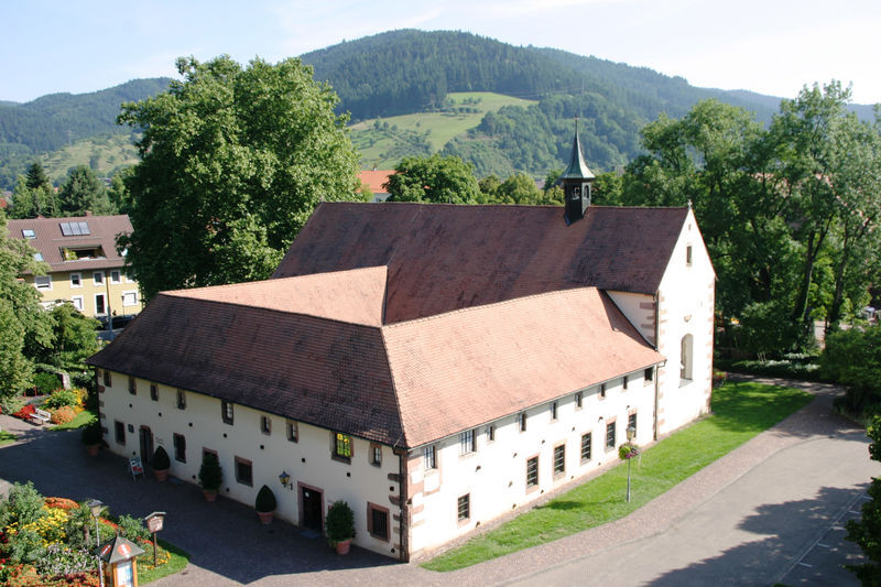
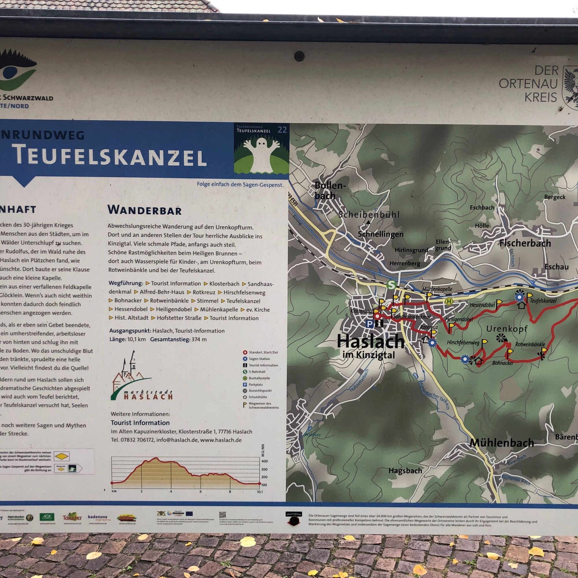
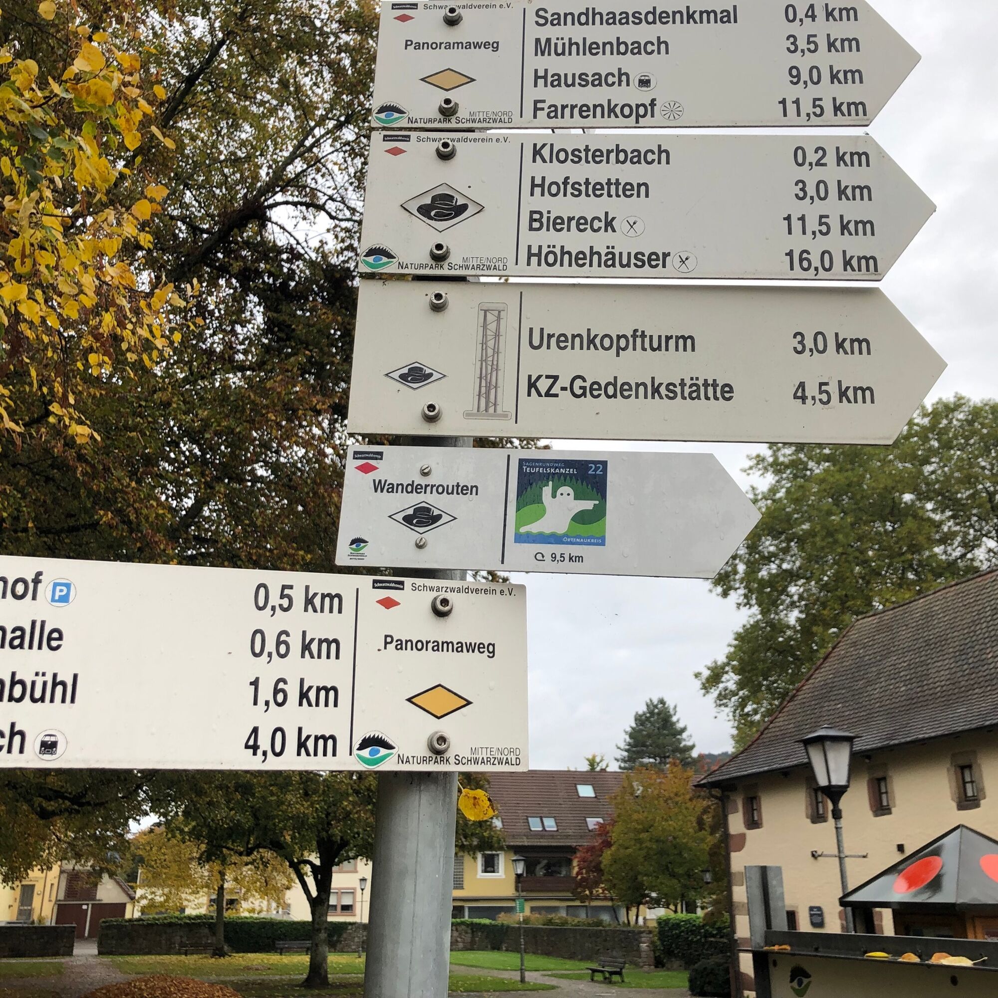
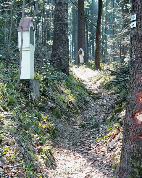
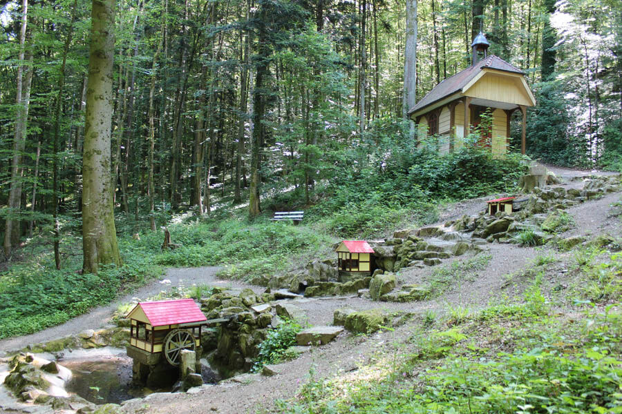
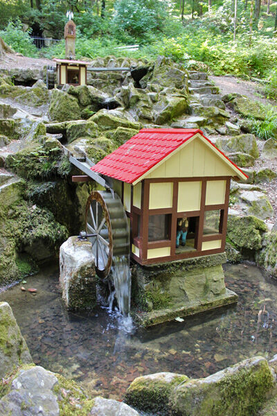
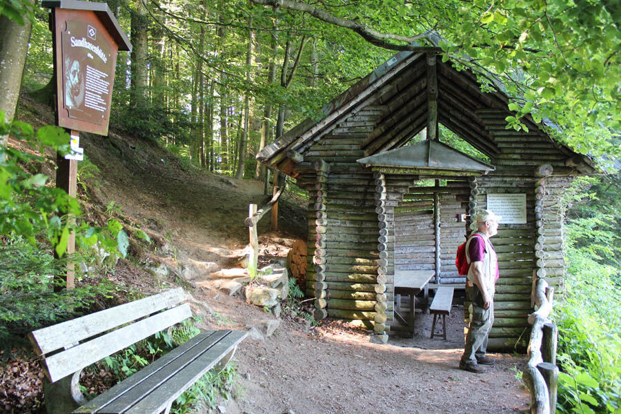
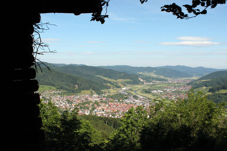
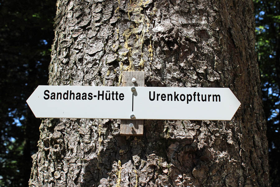
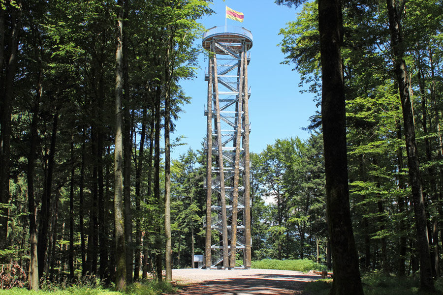
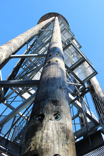
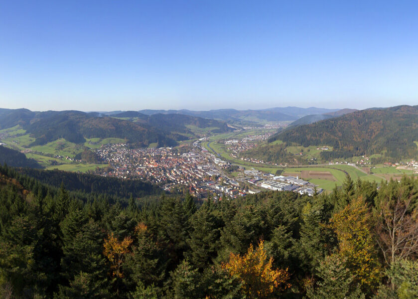
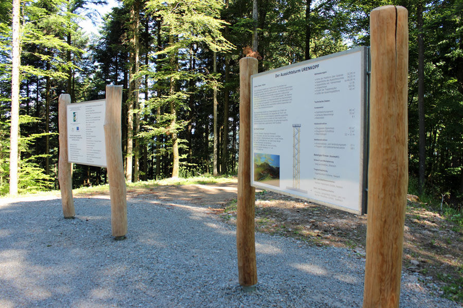
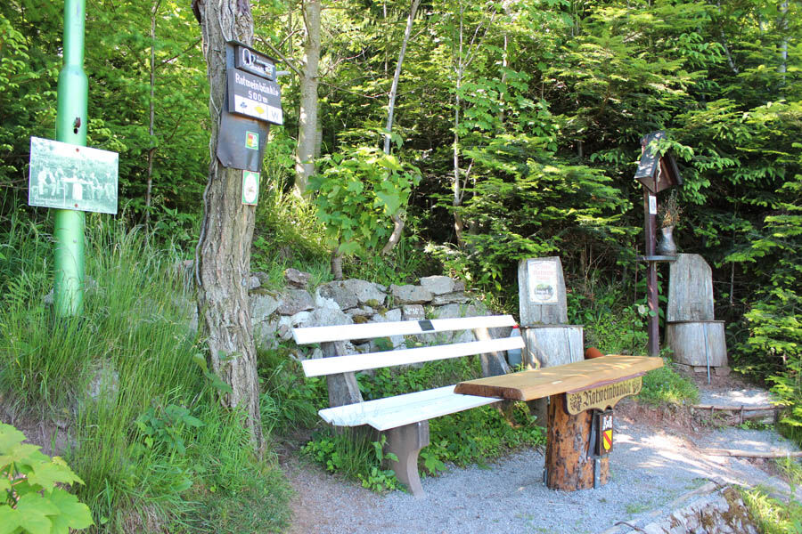
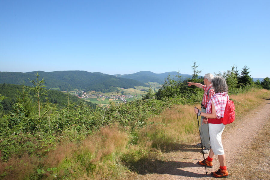
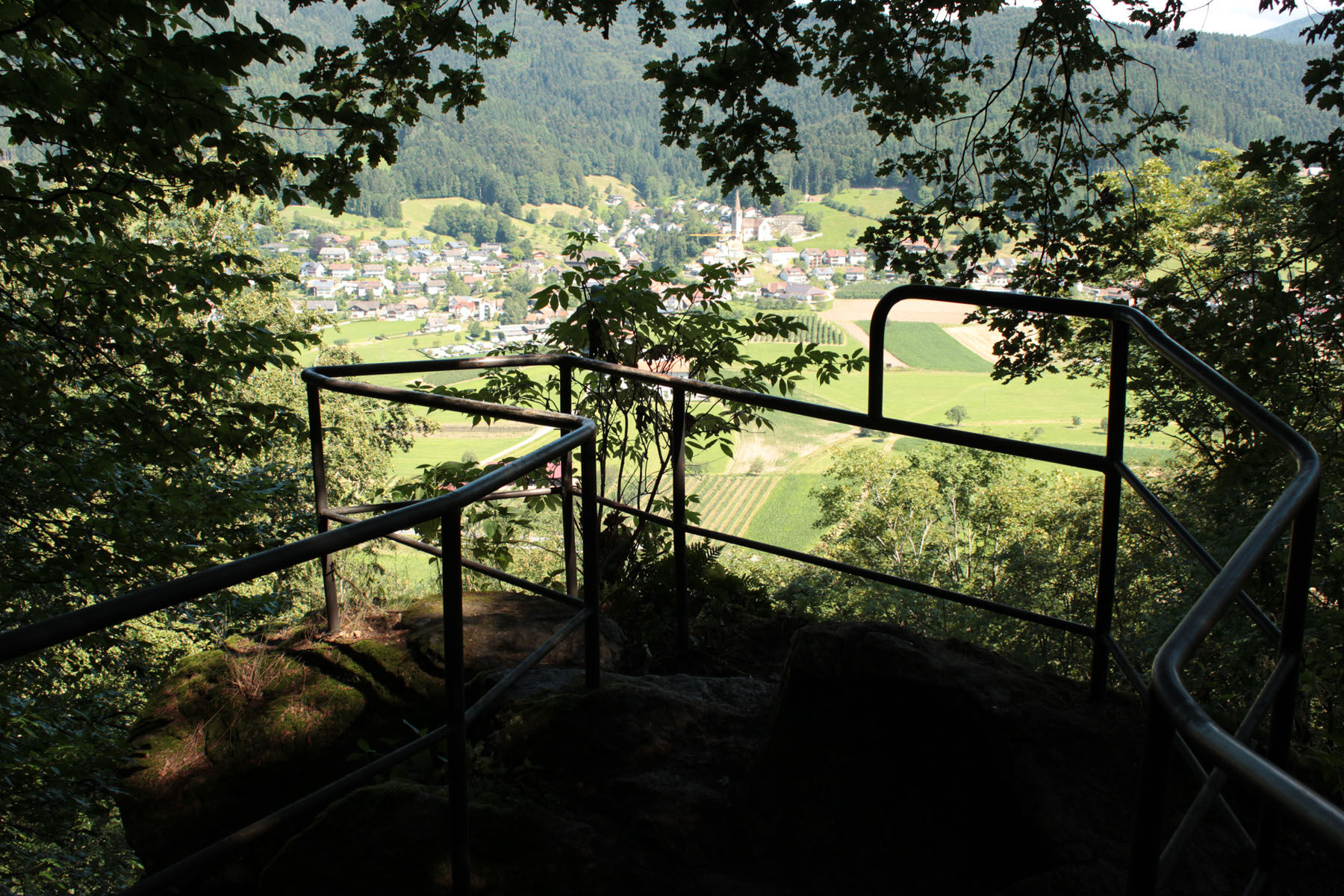
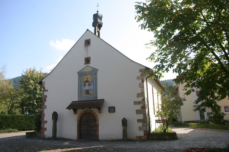
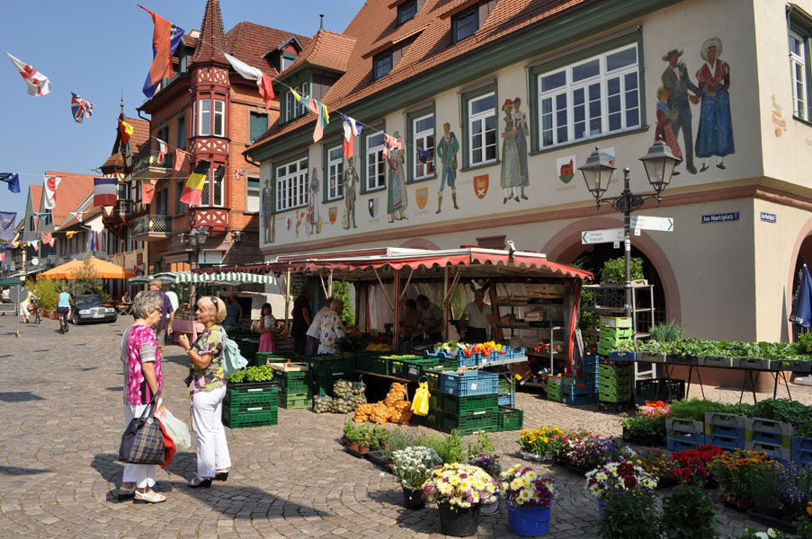

The legend circular path is marked with the lozenges of the Black Forest Club, which show the route between the Black Forest Club's signposts. At the intersections, you will find signposts and a tour sign with the logo of the legend ghost, which indicates the direction.
Start: Tourist Information / Monastery parking lot
Names and order of main signposts: Tourist Info Haslach - Klosterbach - Sandhaas Memorial - Red Cross - Stations Path - Sacred Spring - Deer Rock Path - Sandhaasen Hut - Urenkopf Tower - Bohnacker - Red Wine Bench - Stimmel - Devil's Pulpit - Hessendobel - Heiligendobel - Mill Chapel - Protestant Church - Historic Old Town - Hofstetter Street - Tourist Info Haslach
Black Forest Club signposting system: The designations (location names) such as "Klosterbach" can be found on the Black Forest Club signposts. The signposts are always located at intersections and junctions of marked hiking trails. The arrow-shaped signs usually show three nearby destinations (next location names) and one distant destination with kilometer indications. Along the way, please follow the lozenge symbol, which is printed on the main signpost at your next location name, for example a yellow lozenge, Hansjakobhut... You will also find the name of your location on the signpost tree with the altitude at this point.
Ano
Sturdy footwear is recommended and bring drinks; there are no refreshment options along the way.
Via the B33 to Haslach, follow the signs to the Tourist Information
Ortenau S-Bahn and Black Forest Railway to Haslach. From the station it is about a 10-minute walk to the Old Capuchin Monastery. Take Kinzigtal bus line 66 to the stop "Stadthalle." From there it is two minutes to the Old Capuchin Monastery.
Free parking at the Tourist Information Haslach, Klosterstraße 1, 77716 Haslach.
T1
Besides the beautiful viewpoints, the hiker, always following the ghost, gets to know three interesting legend stories from Haslach.
 Získejte přehled
Vždy živě na místě s více než 9 500 webkamerami. bergfex Jako uživatel Pro si nyní můžete zobrazit odpovídající webové kamery pro mnoho prohlídek v aplikaci prohlídky z. Můžete si tak přímo prohlédnout aktuální podmínky.
Získejte přehled
Vždy živě na místě s více než 9 500 webkamerami. bergfex Jako uživatel Pro si nyní můžete zobrazit odpovídající webové kamery pro mnoho prohlídek v aplikaci prohlídky z. Můžete si tak přímo prohlédnout aktuální podmínky.
Oblíbené prohlídky v okolí
-
4.8
Hahn und Henne Tour
středníTuristika 15.0 km -
4.3
Oberhamersbach Vesperweg
středníTuristika 14.5 km -
4.3
Paradiessteig Hofstetten
středníTuristika 12.8 km -
4.7
Waldsee circular route to the Urenkopf tower
středníTuristika 7.30 km -
5.0
Wolfach settlers' loop large round
středníTuristika 9.04 km -
Westweg - Westvariante
heavydálková pěší trasa 288.8 km -
4.5
Sontagstour
světloTuristika 11.8 km -
5.0
Gemütliche Runde ab Wanderparkplatz Pfingsteck, Freiamt
světloTuristika 4.62 km -
5.0
Premiumweg Wolfacher Schlossblick
středníTuristika 7.12 km -
4.5
Panoramaweg Katzenmoos
středníTuristika 11.0 km
Pěší turistika a stopování


Nenechte si ujít nabídky a inspiraci pro vaši příští dovolenou
Vaše e-mailová adresa byl přidán do poštovního seznamu.





