







Over the Blindensee lake to Wilhelmshöhe
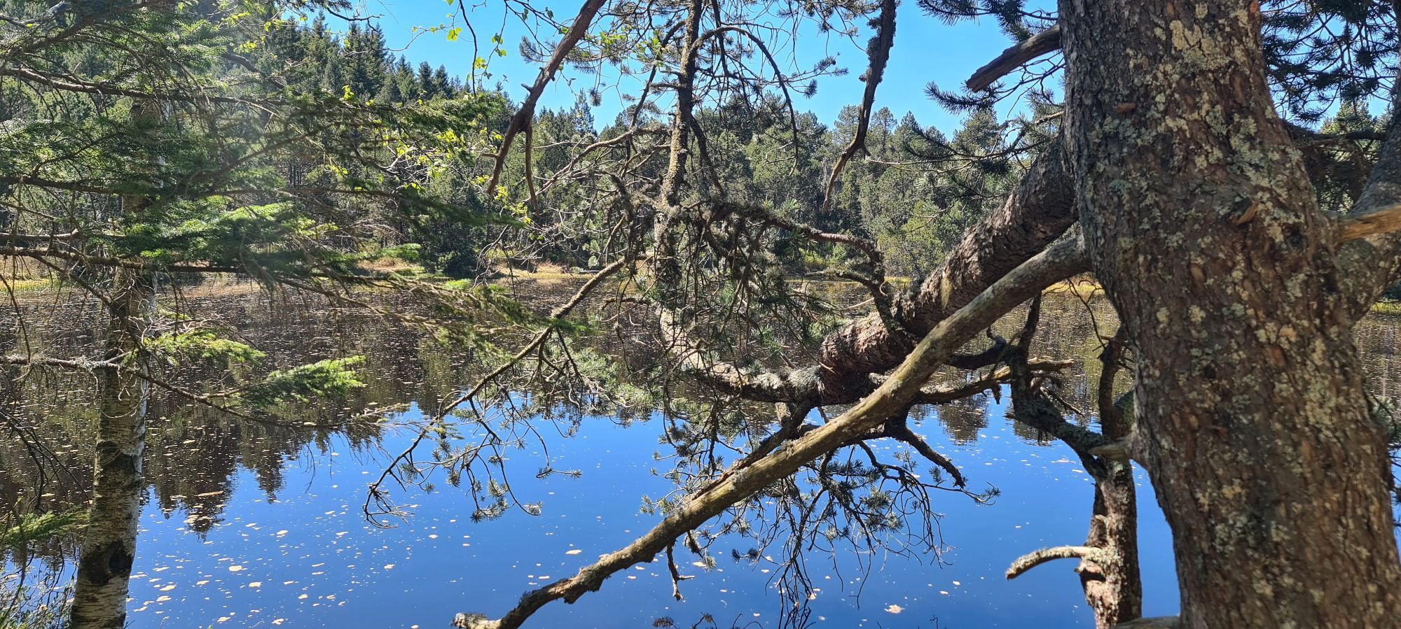
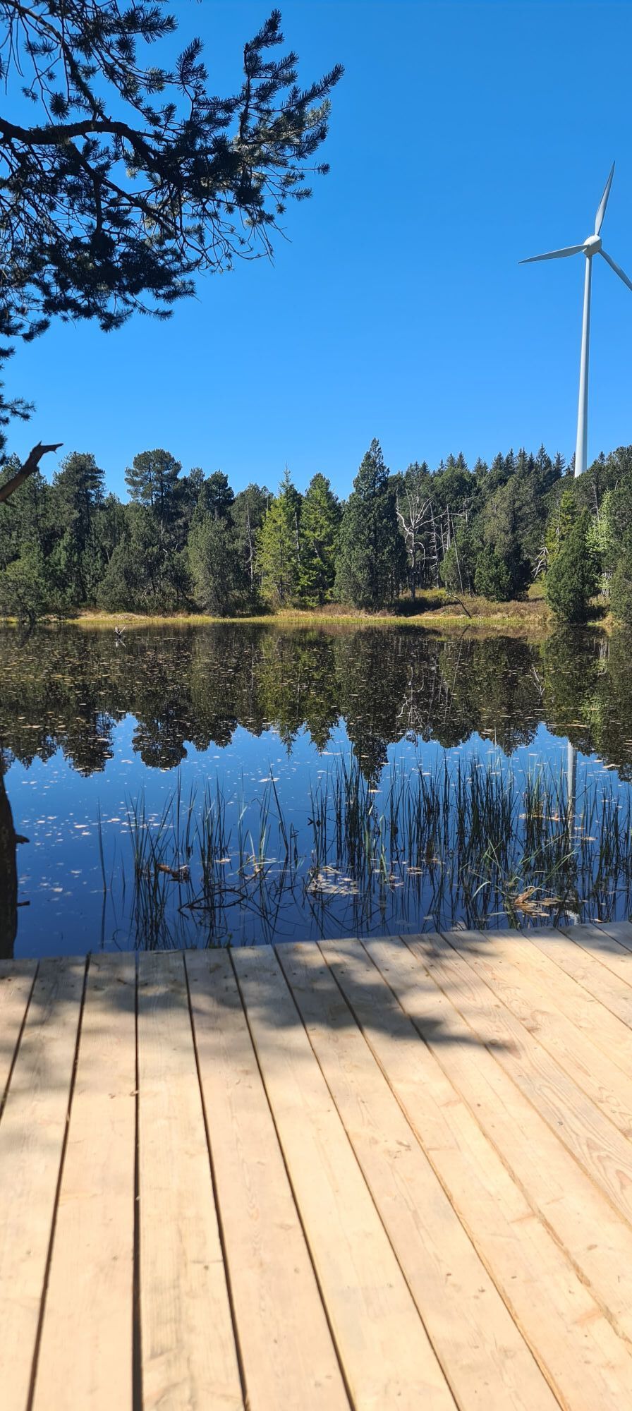
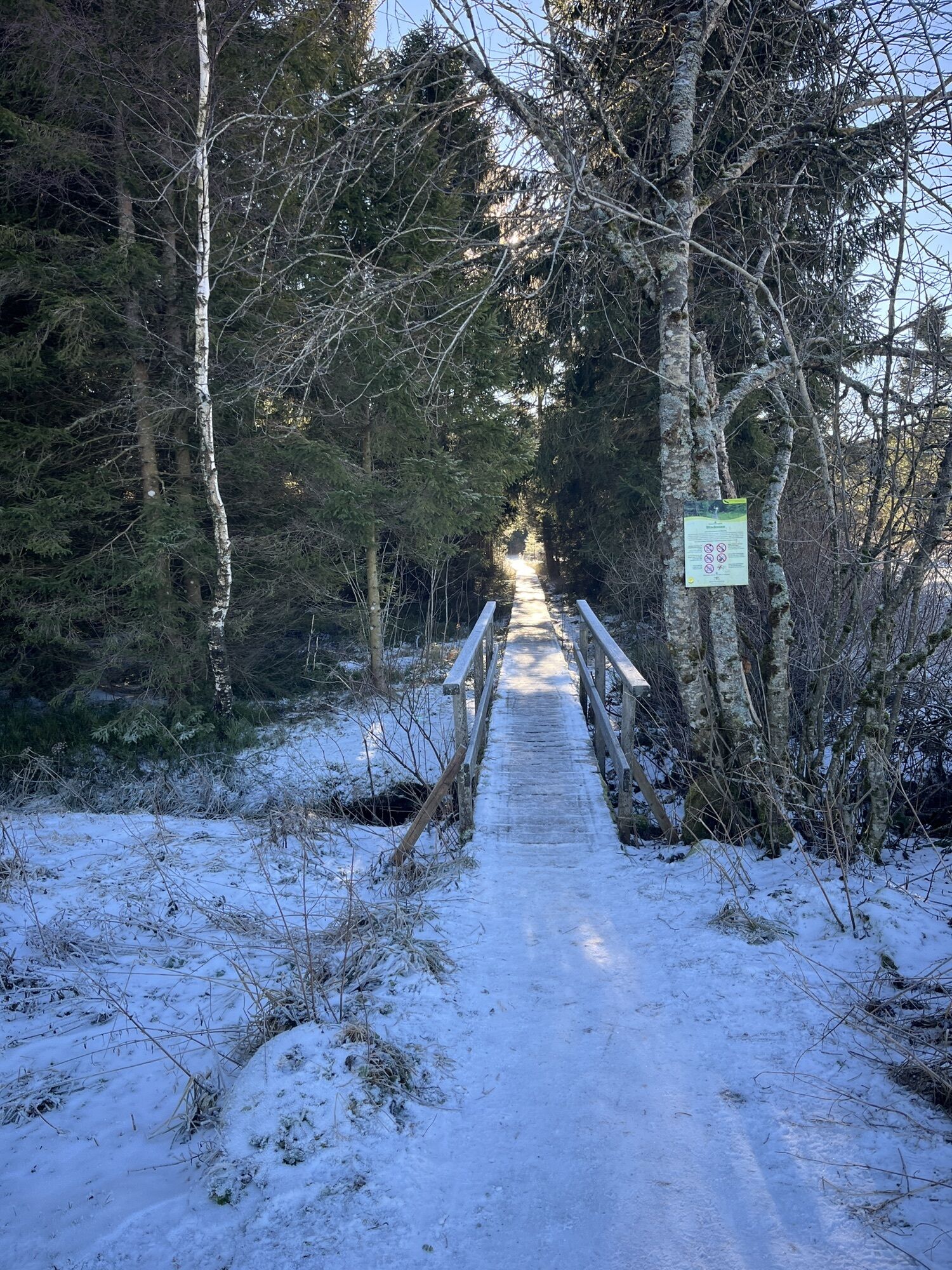
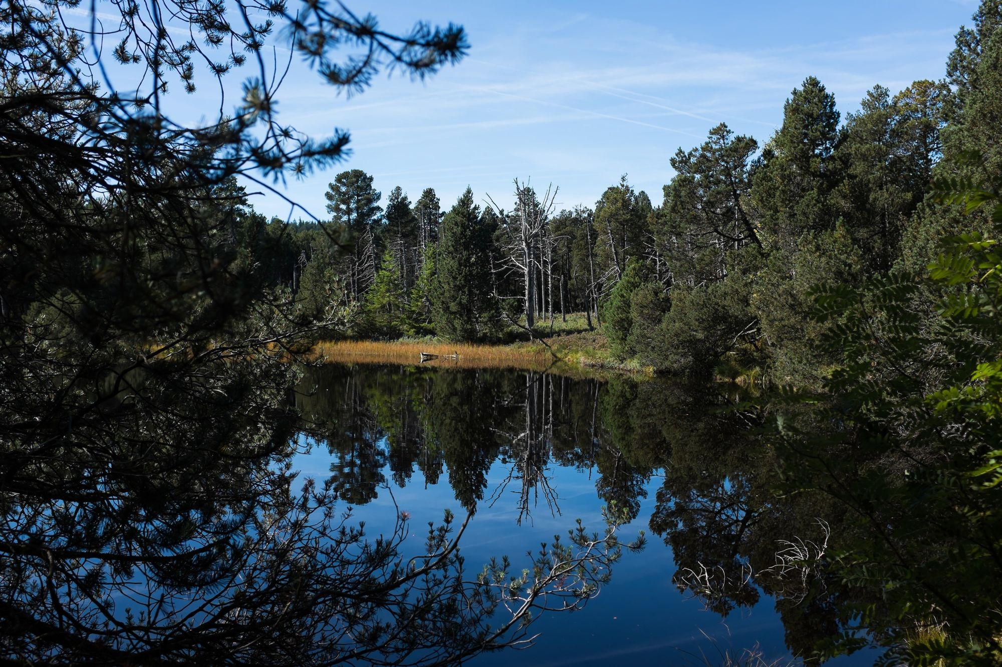
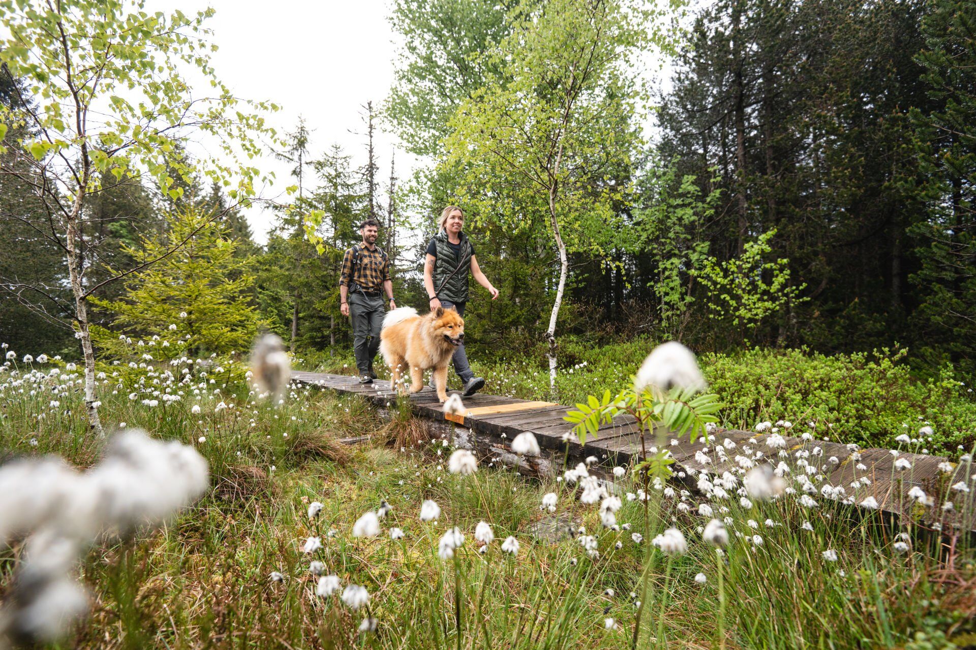
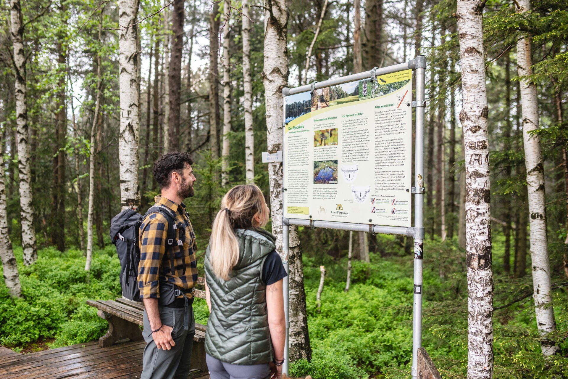
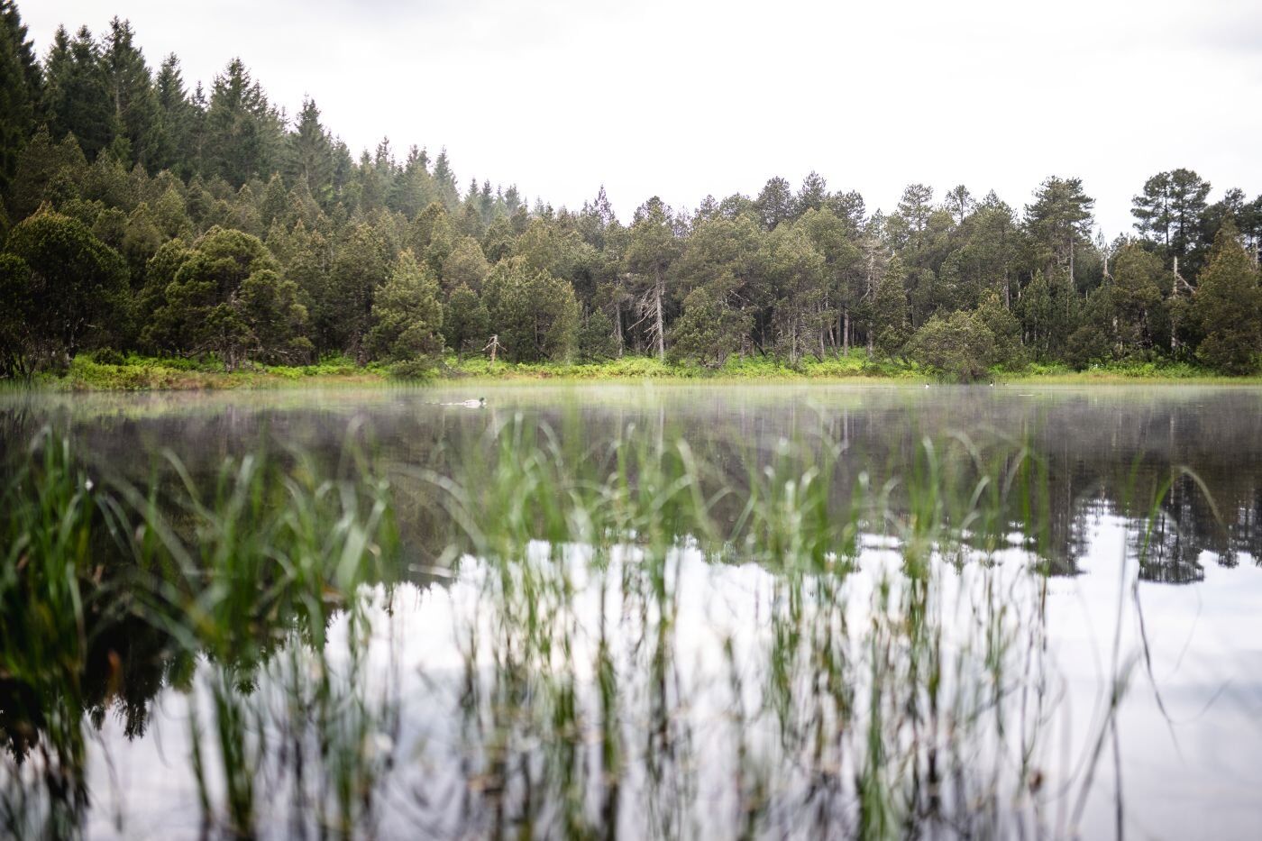
Natural beauty, cultural monuments and sports facilities come together on this beautiful circular tour. At the Blindensee lake, hikers encounter a unique high moor landscape. You reach the lake via wooden...
Natural beauty, cultural monuments and sports facilities come together on this beautiful circular tour. At the Blindensee lake, hikers encounter a unique high moor landscape. You reach the lake via wooden footbridges. After a hearty rest at the Wilhelmshöhe inn, you descend to Schonach (public transport available). Past the Langenwaldschanze, famous for the Black Forest Cup, and the Reinertonishof cultural monument, the trail leads back to the starting point in Schönwald.

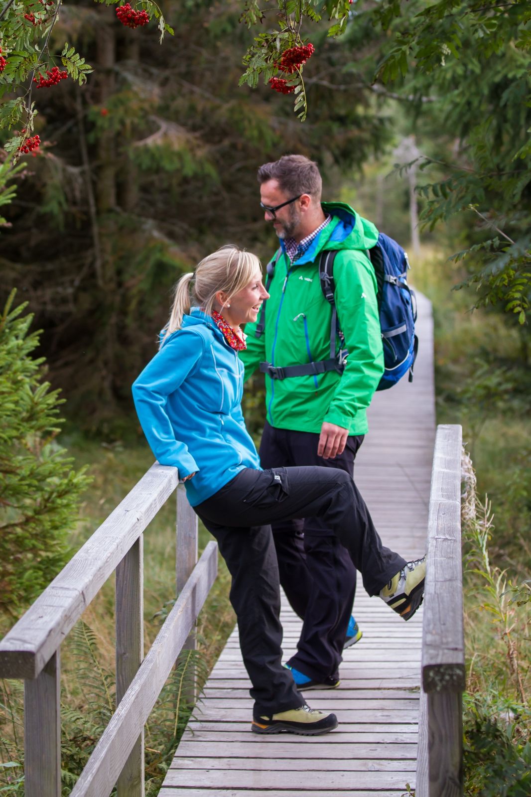
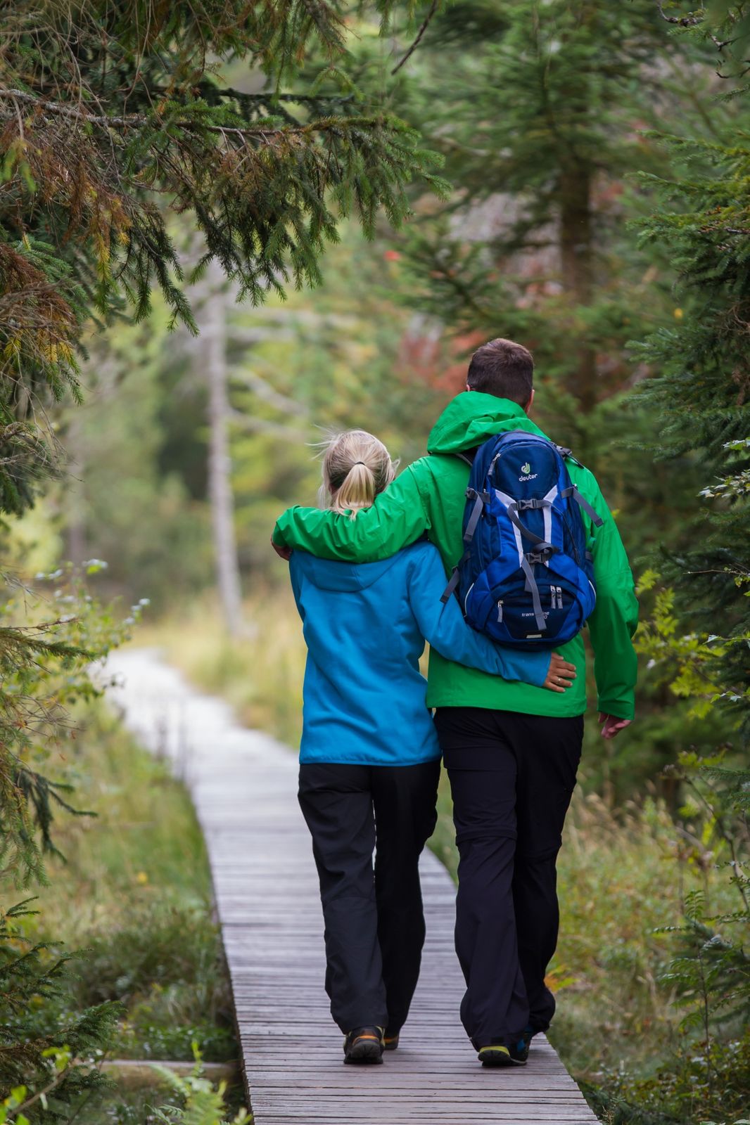
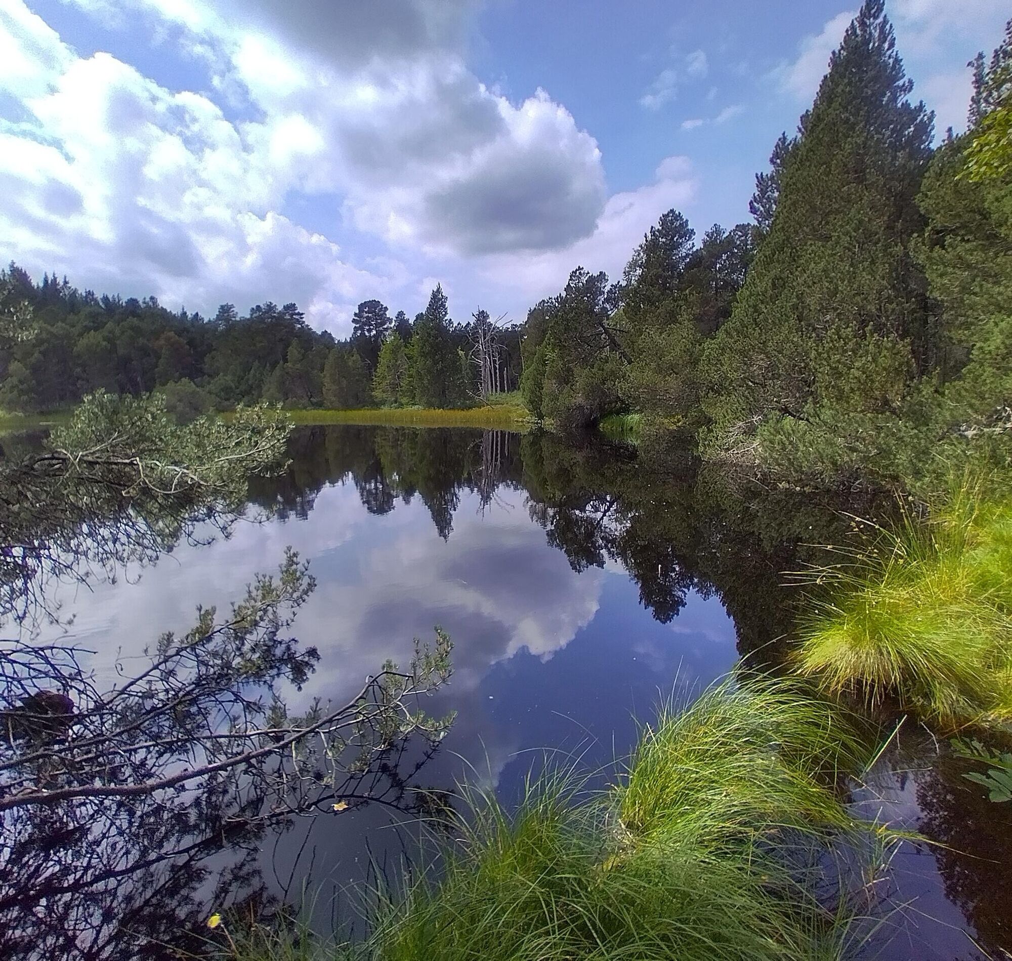
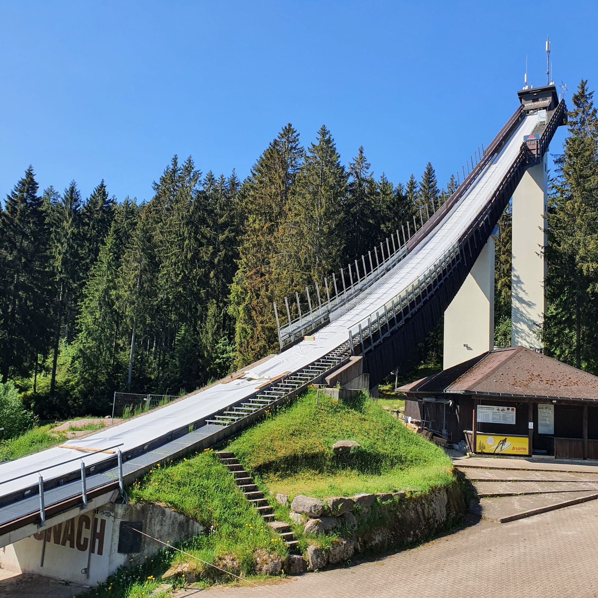
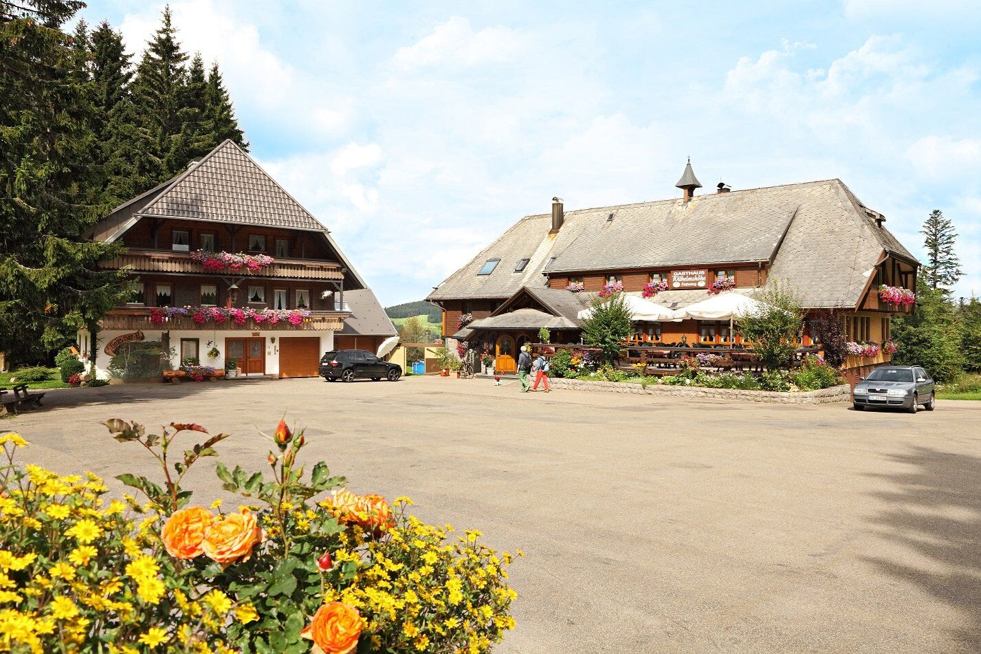
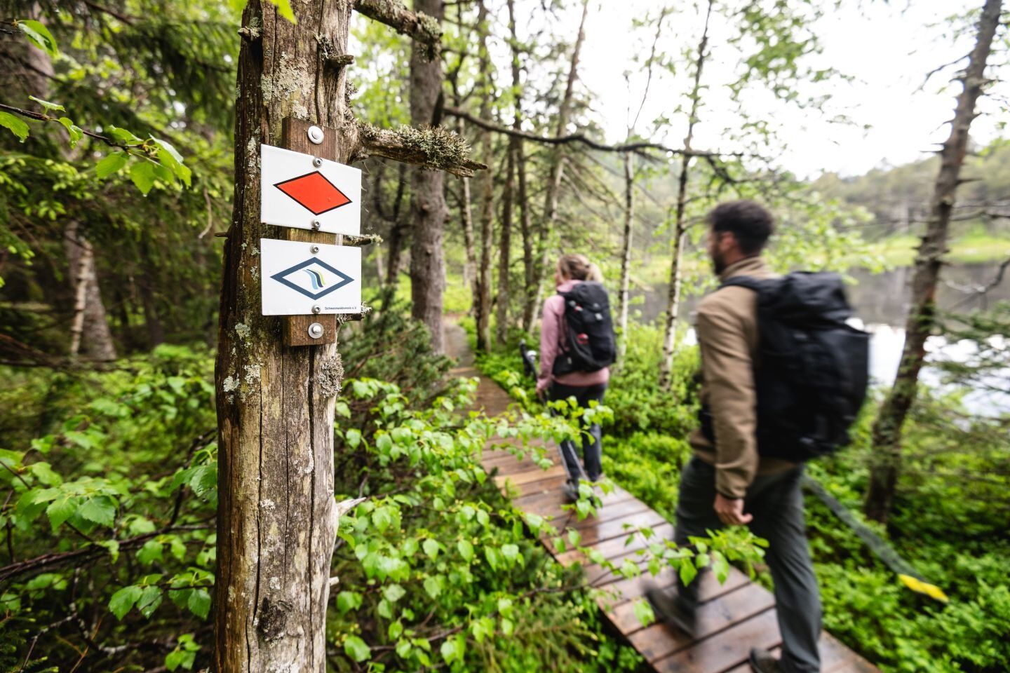
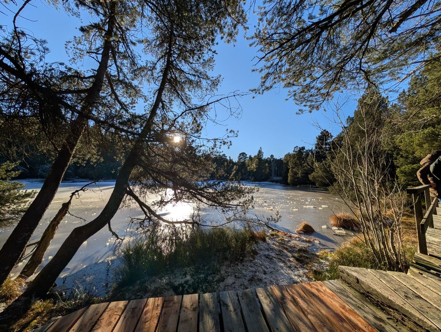
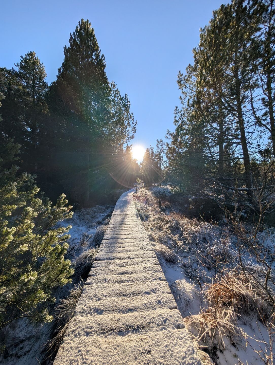
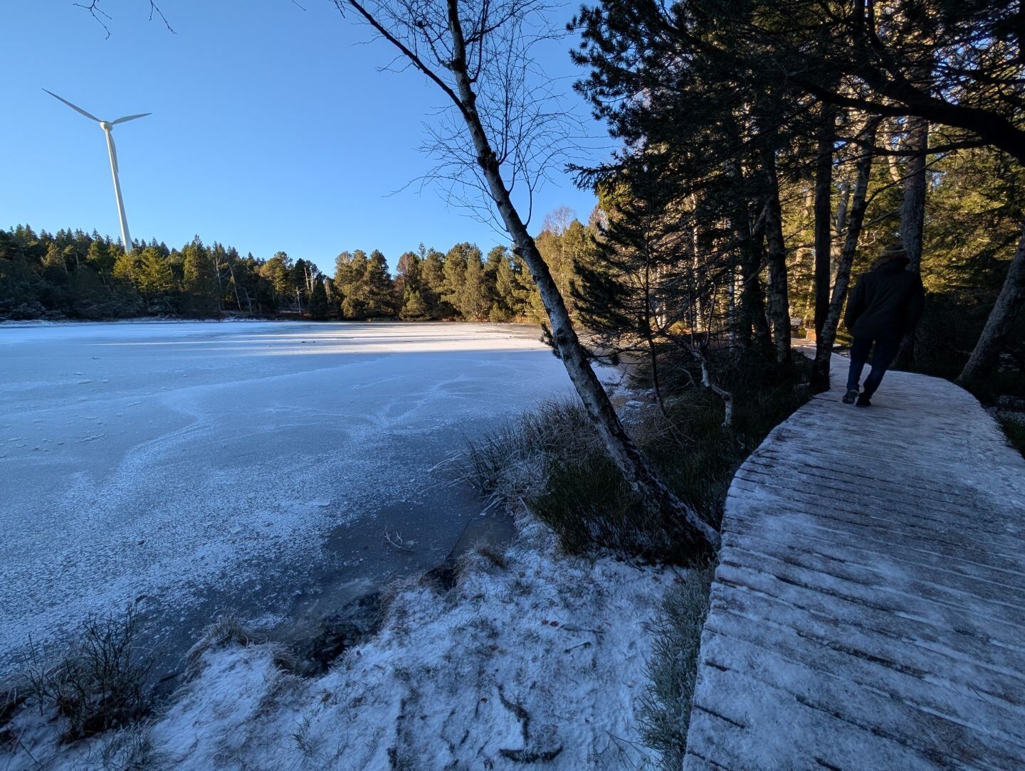

Von der Tourist-Information ausgehend folgst du der gelben Raute zum Zinswald. Nach ca. 300 Metern biegst du rechts auf den blau markierten Weg ab und gelangst über das Naturschutzgebiet Briglirain zur Vogte. Von dort aus geht es rechts weiter auf dem Westweg (rote Raute) über die Weißenbacher Höhe und den Farnberg zum Weißenbacherwald. Dem Westweg rechts weiter folgend gelangst du über Fuchsbach, am Blindensee vorbei, zur Blindenhöhe und weiter über den Wolfbauernhof zur Wilhelmshöhe. Hier hältst du dich rechts entlang der gelben Raute über die Weihermatte nach Schonach. Weiter gehst du Im Grund hinauf und durch den Langenwald, über die Wolfdeibishöhe zum Kulturdenkmal Reinertonishof. Über den Weißenbacher-Talblick und durch den Rüttwald gelangst du, am Sportplatz vorbei, wieder zurück zum Ausgangspunkt.
Ano
Gutes Schuhwerk und eine der Witterung angepasste Kleidung sind Voraussetzung für ein herrliches Wandererlebnis. Getränke und eine Rucksackverpflegung sind bei allen Touren empfehlenswert.
Bitte beachte die Hinweisschilder auf dem Wanderweg. Genaue und detaillierte Informationen über die Hinweisschilder und das Wanderleitsystem findest du auf unserer Website. In Notfällen die 112 anrufen.
Anfahrt zum Startpunkt
B500 nach Schönwald, dort der Ausschilderung zur Tourist-Information folgen.
Mit dem Bus 550 oder Panoramabus 7261 (nur Wochenende) bis Haltestelle Bachwinkel. Freie Fahrt mit der KONUS-Gästekarte.
Liebe:r Naturfreund:in,
du bewegst dich bei uns in einer einzigartigen Kulturlandschaft, die den Höfen als Wirtschaftsgut sowie der Nahrungsmittelproduktion dient.
Bitte bleibe im Interesse der Eigentümer:innen auf den ausgeschilderten Wegen/Loipen und nimm bitte auch Hunde an die Leine. Wir danken dir herzlich für dein Verständnis.
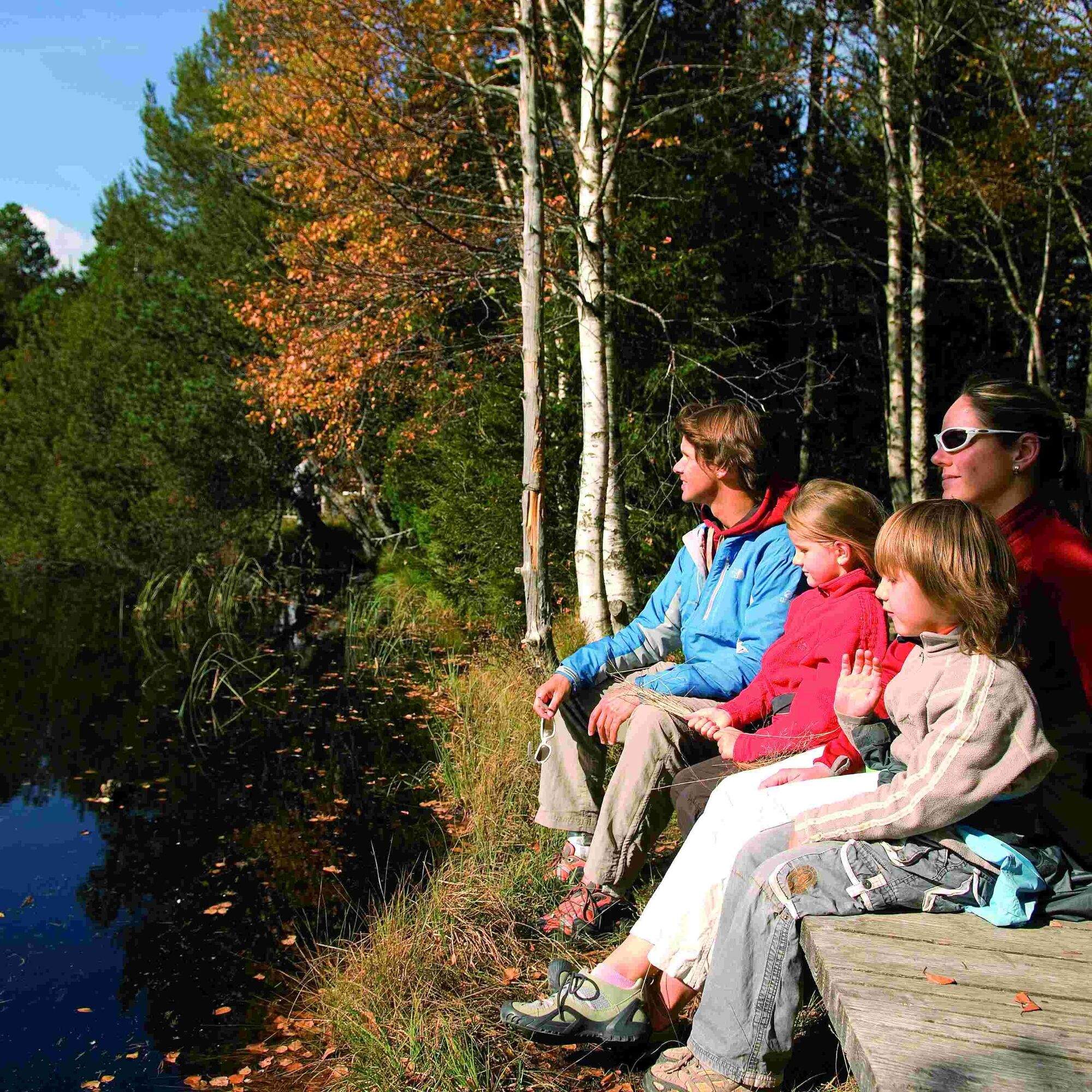
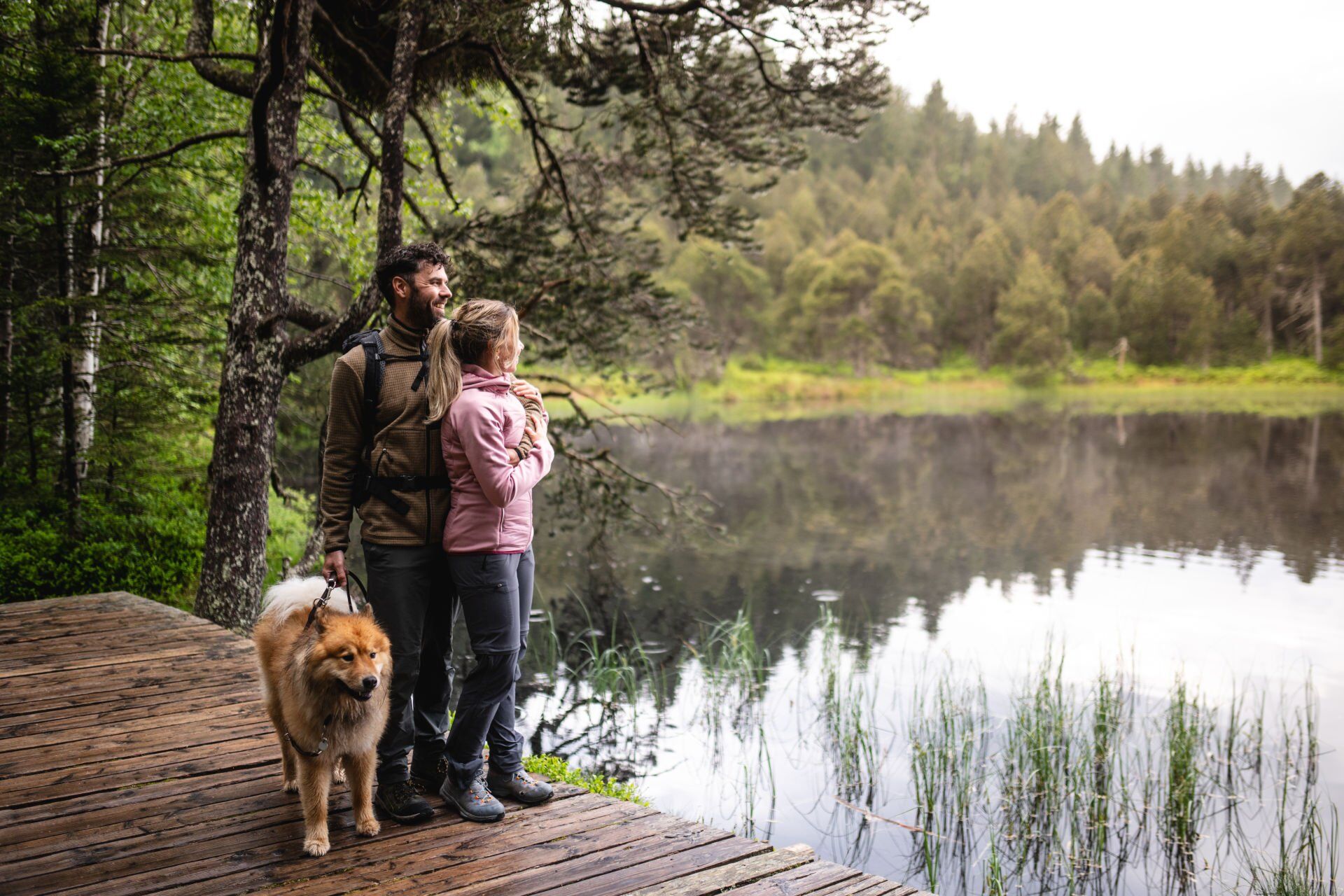
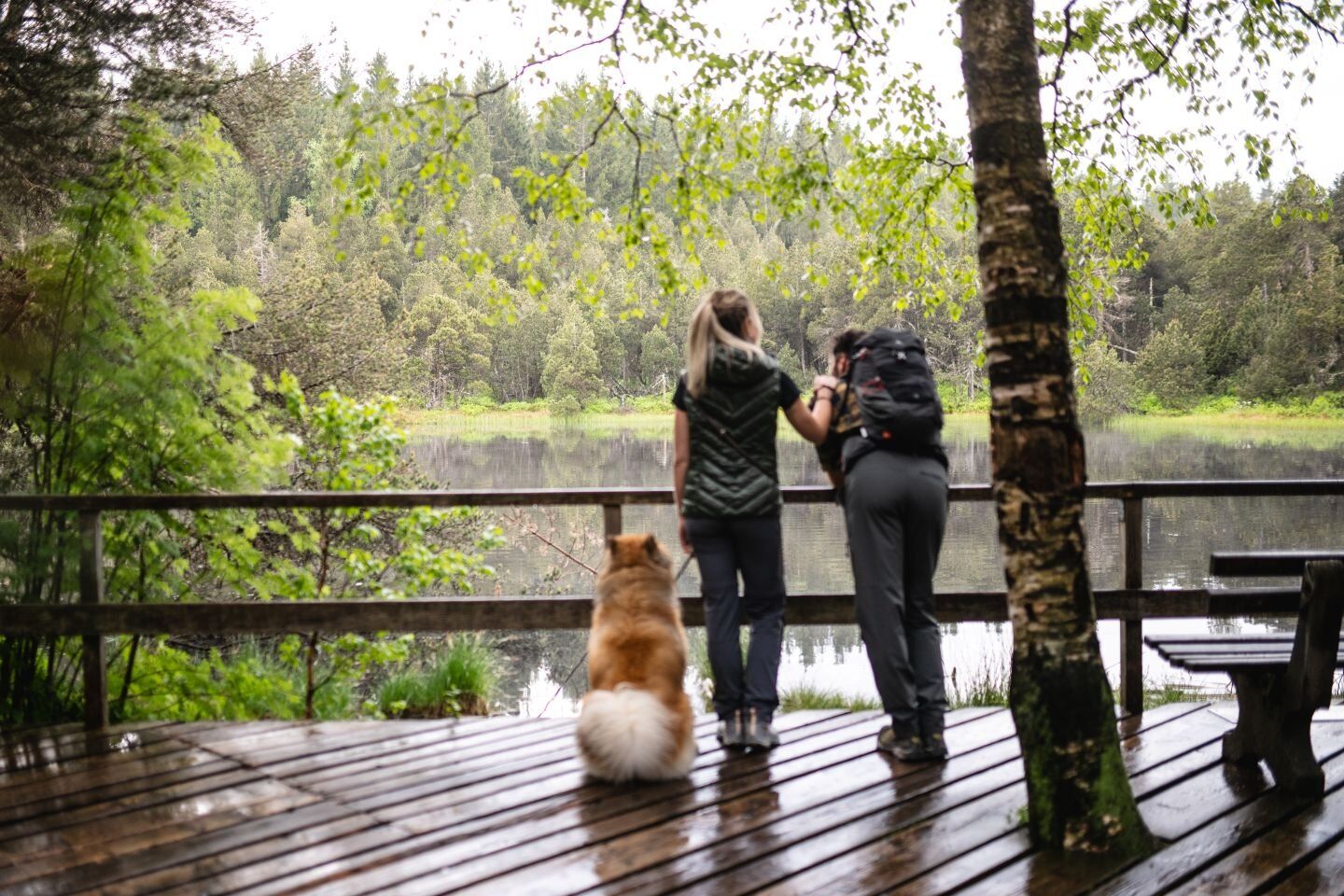
Entspannen kann man sich wunderbar an den Schönwälder Lieblingsplätzen „Blindensee" und „Weißenbacher Talblick".
 Získejte přehled
Vždy živě na místě s více než 9 500 webkamerami. bergfex Jako uživatel Pro si nyní můžete zobrazit odpovídající webové kamery pro mnoho prohlídek v aplikaci prohlídky z. Můžete si tak přímo prohlédnout aktuální podmínky.
Získejte přehled
Vždy živě na místě s více než 9 500 webkamerami. bergfex Jako uživatel Pro si nyní můžete zobrazit odpovídající webové kamery pro mnoho prohlídek v aplikaci prohlídky z. Můžete si tak přímo prohlédnout aktuální podmínky.
Oblíbené prohlídky v okolí
-
4.5
Through the mystical Bannwald forest to the Zweribach Waterfall
středníTuristika 12.2 km -
5.0
Rund um den Kandelgipfel mit tollen Ausblicken
středníTuristika 7.46 km -
Hike to the Zweribach waterfalls
středníTuristika 7.32 km -
4.0
Triberger Wasserfälle naar Prizen
středníTuristika 11.5 km -
5.0
Potsdamer Platz - Hirschbachfälle- Zweribachfälle - Plattenhof
středníTuristika 9.34 km -
4.3
Paradiessteig Hofstetten
středníTuristika 12.8 km -
Panorama Trail from St. Märgen to St. Peter
středníTuristika 8.63 km -
4.8
AugenBlick-Runde Lauterbach Güntersberg
světloTuristika 10.2 km -
4.5
Genießerpfad - U(h)rwaldpfad Rohrhardsberg
středníTematická stezka 8.72 km -
Von St. Peter über den Sägendobel auf den Kandel
heavyTuristika 18.4 km
Pěší turistika a stopování


Nenechte si ujít nabídky a inspiraci pro vaši příští dovolenou
Vaše e-mailová adresa byl přidán do poštovního seznamu.





