




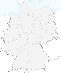


Gutach Farrenkopf route

Route:
Gasthaus LindeTown centerVordersulzbachFarrenkopfSchorenkopfBüchereckLeft SulzbachVordersulzbachTown centerGasthaus LindeRoute:
Gasthaus Linde Town center Vordersulzbach Farrenkopf Schorenkopf Büchereck Left Sulzbach Vordersulzbach Town center Gasthaus Linde
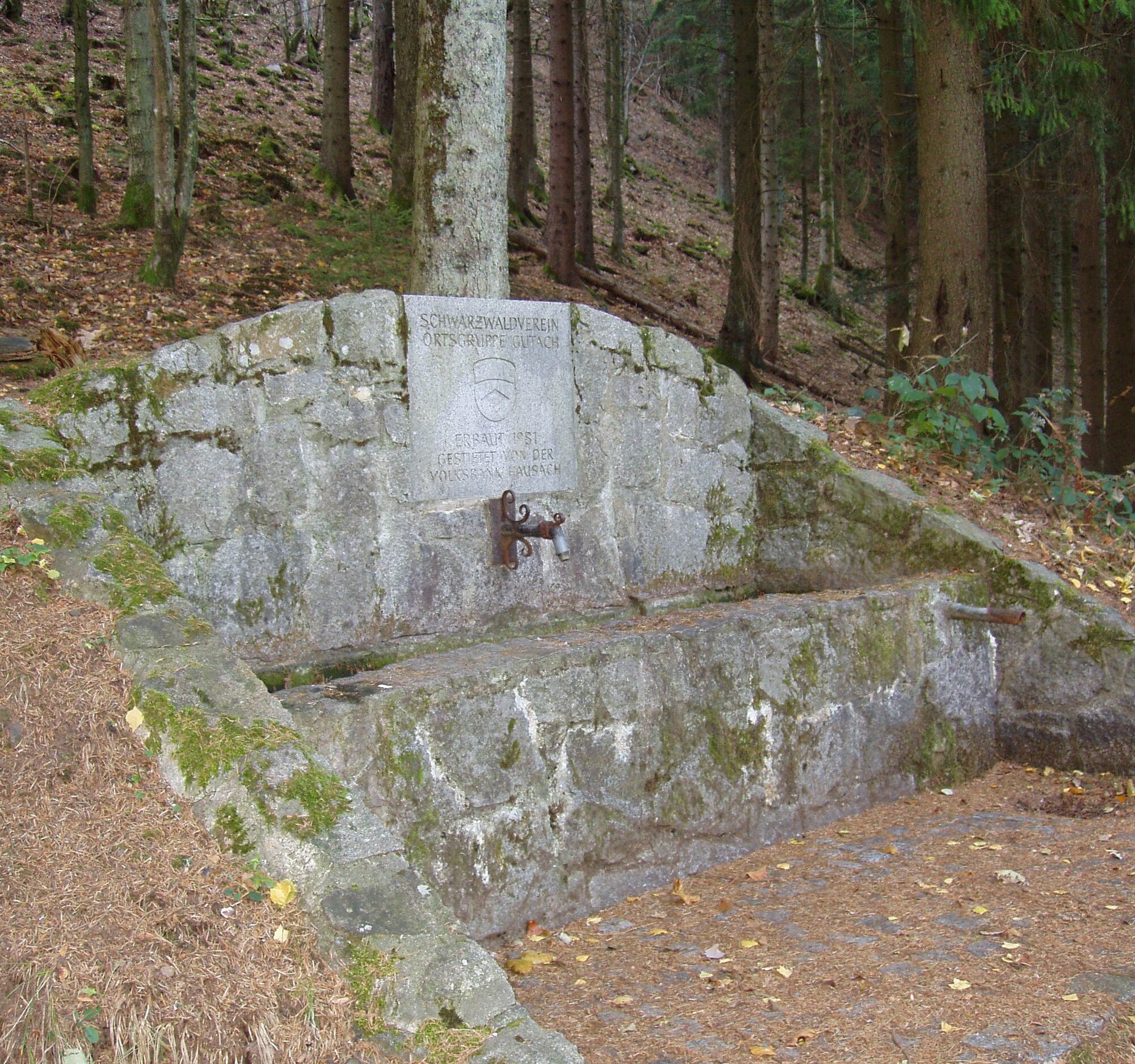
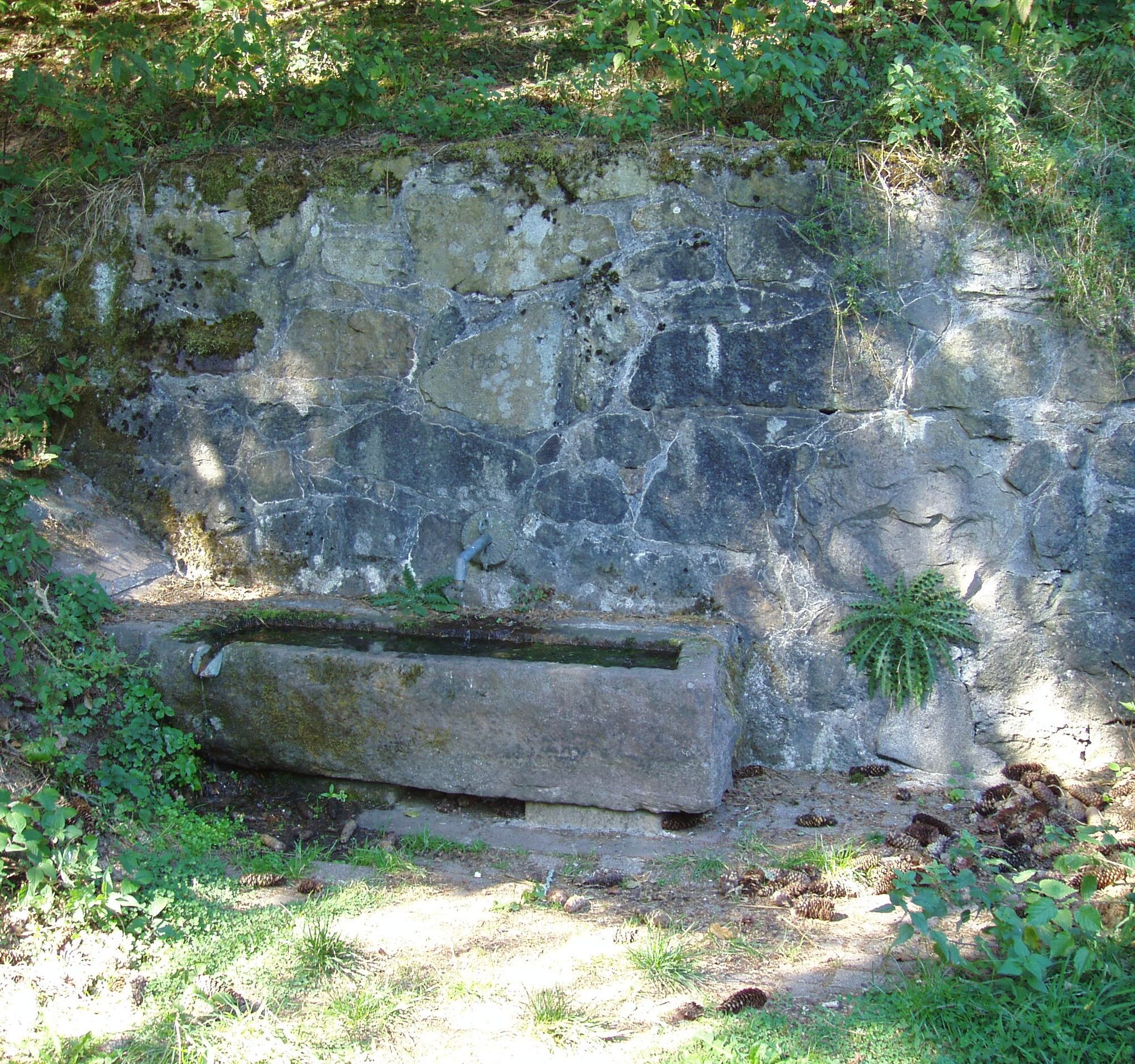

The signpost at the parking lot in the town center indicates 3.5 km to Farrenkopf and directs us across the federal road towards Sulzbachtal.
After about 400 m on a paved road, the next signpost "Vordersulzbach" stands on the right, which we follow on the blue rhombus towards Farrenkopf. Initially on a wide path, then on a narrow trail, you reach the spring below the summit.
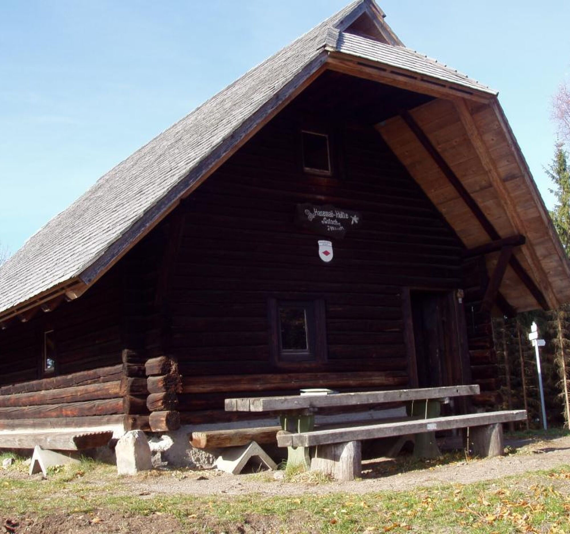
From there follows a steep final climb over the exposed terrain up to the Hasemann hut, dedicated to the local Gutach painter Prof. Wilhelm Hasemann.
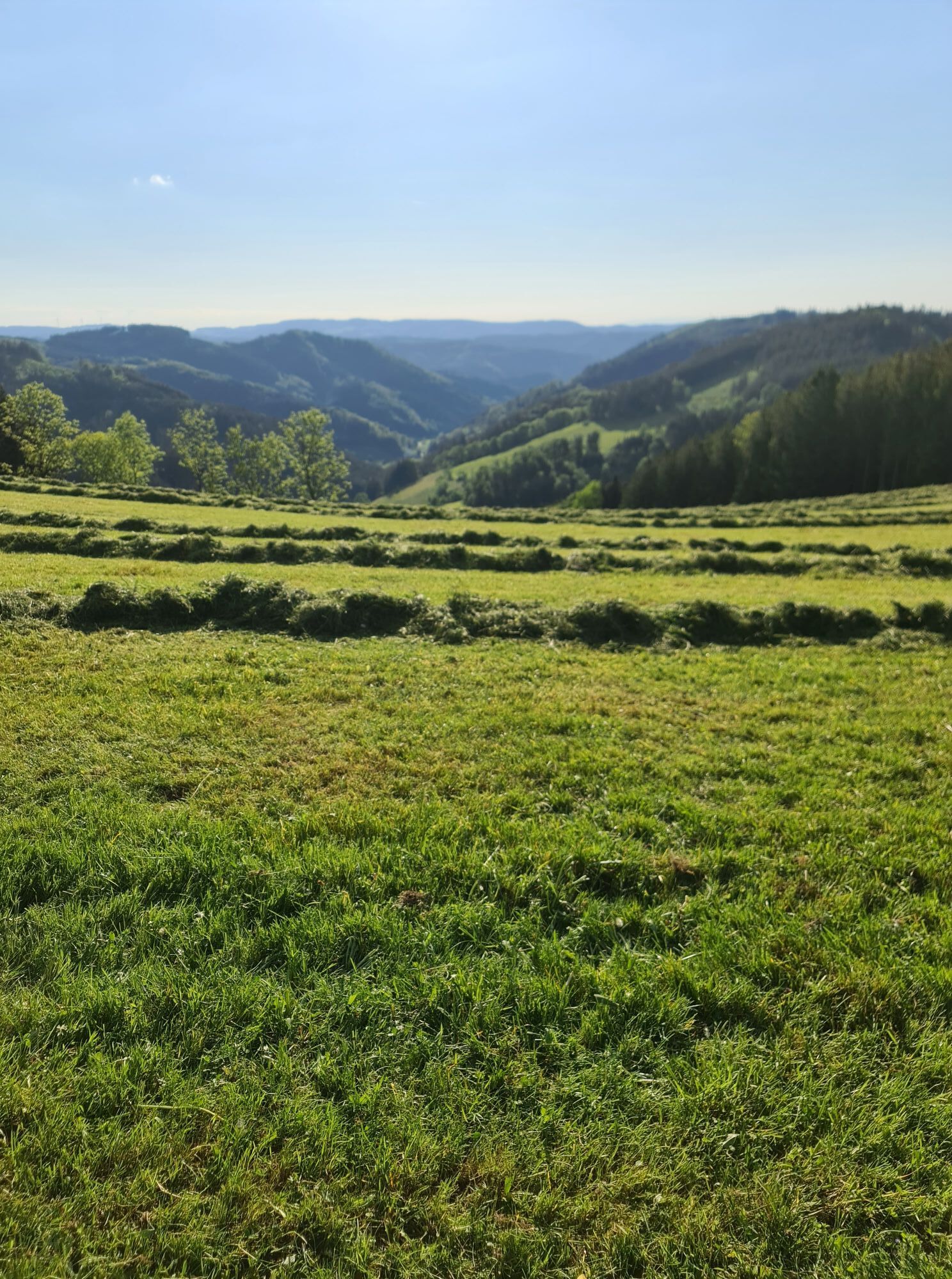
The highest point of the route is now reached and offers a view down into the Gutach valley during the well-deserved rest.
The well-known "Westweg" of the Black Forest Association, as well as the European long-distance path E1, lead over the Farrenkopf.
The first third, but also the most strenuous part of the hike, is now behind us, and we now orient ourselves on the red rhombus of the Westweg towards Büchereck.
There, a barbecue area and another hut invite you to linger. Views open up to the south into the upper Gutach valley.
Now we leave the Westweg and orient ourselves on the descent to the left of the hut towards the spring and Gutach village.
Here we follow the yellow rhombus of the Black Forest Association. Via the route "left Sulzbach" and Vordersulzbach we reach the starting point of our hike, partly on a paved road.
Ano
Sturdy footwear, suitable clothing, and telescopic poles if necessary.
Via federal road 33.
By train (Black Forest Railway, OSB) to Hausach station. From there by bus line 7150 to Gutach (bus stop: Kirchstraße)
Public, free parking lot in the town center, 1 minute walk to the starting point.
Additional parking lots up the valley at the Liebich sports hall
Tourist Information Gutach (Black Forest Railway)
Hauptstraße 38
77793 Gutach
Tel. 07833/9388-50
Fax: 07833/9388-11
Email: tourist-info@gutach-schwarzwald.de
Black Forest Open-Air Museum Vogtsbauernhof www. vogtsbauernhof .org/
Discover in the impressive Black Forest farms, in mills and saws, in parlors and barns, how people have lived, worked, and resided in the Black Forest over the last 400 years.
Summer toboggan run Gutach in the Black Forest www. sommerrodelbahn - gutach .de/
Hasemann - Liebich Art Museum www.kunstmuseum-hasemann-liebich.deOpening hours see homepage: During special exhibitions, Sundays, public holidays (and mostly Wednesdays) from 2 pm to 5 pm.
Park with All Senses : www. parkmitallensinnen .de/ The exceptional park in the Kinzig valley. We want you to feel comfortable
Mini golf course on the Hornberg-Hausach cycle path: http://www.minigolf-gutach.de/Opening hours: May - October
Tuesday to Sunday: 2 pm - 9 pm Monday closed
Získejte přehled
Vždy živě na místě s více než 9 500 webkamerami. bergfex Jako uživatel Pro si nyní můžete zobrazit odpovídající webové kamery pro mnoho prohlídek v aplikaci prohlídky z. Můžete si tak přímo prohlédnout aktuální podmínky.
Oblíbené prohlídky v okolí
-
4.3
Oberhamersbach Vesperweg
středníTuristika 14.5 km -
4.8
Ortenau legend circular routes: Devil's Pulpit
středníTuristika 10.2 km -
4.0
Triberger Wasserfälle naar Prizen
středníTuristika 11.5 km -
4.3
Paradiessteig Hofstetten
středníTuristika 12.8 km -
4.8
AugenBlick-Runde Lauterbach Güntersberg
světloTuristika 10.2 km -
4.5
Genießerpfad - U(h)rwaldpfad Rohrhardsberg
středníTematická stezka 8.72 km -
3.0
Lauterbach High Valley Circuit in the hiking paradise Alb - Black Forest
světloTuristika 10.7 km -
4.7
Waldsee circular route to the Urenkopf tower
středníTuristika 7.30 km -
5.0
Wolfach settlers' loop large round
středníTuristika 9.04 km -
4.0
Over the Blindensee lake to Wilhelmshöhe
středníTuristika 16.0 km
Pěší turistika a stopování


Nenechte si ujít nabídky a inspiraci pro vaši příští dovolenou
Vaše e-mailová adresa byl přidán do poštovního seznamu.





