







Gaisbach Path

Along the Gaisbach by the former monastery wall, you will learn interesting facts about the monastery's water management, monastery wine, the Gaistal valley, and the Herrenalb sawmills from themed panels.
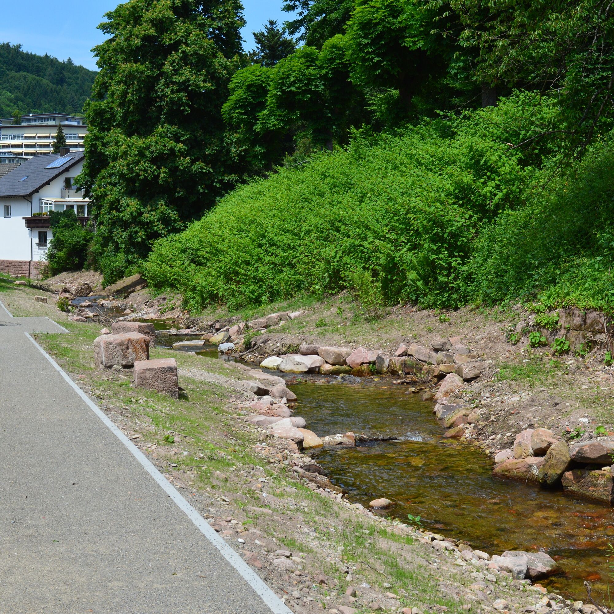
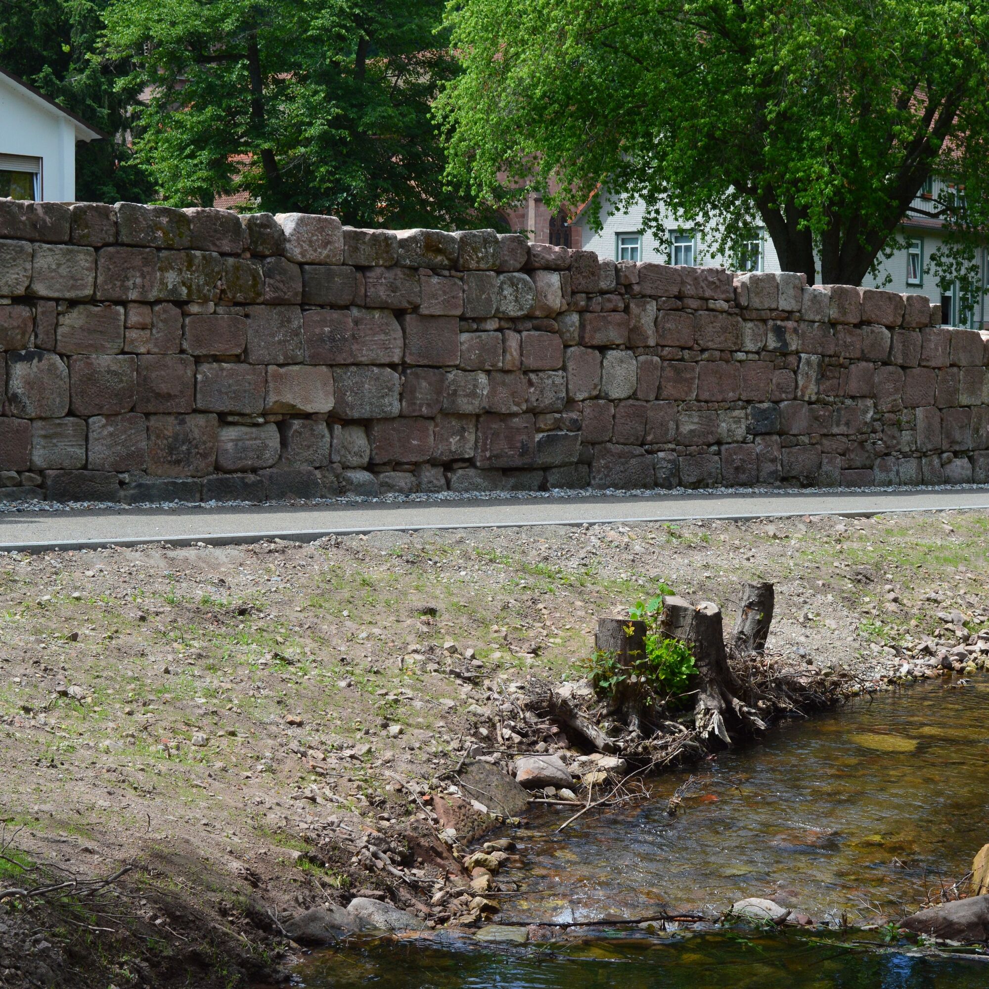
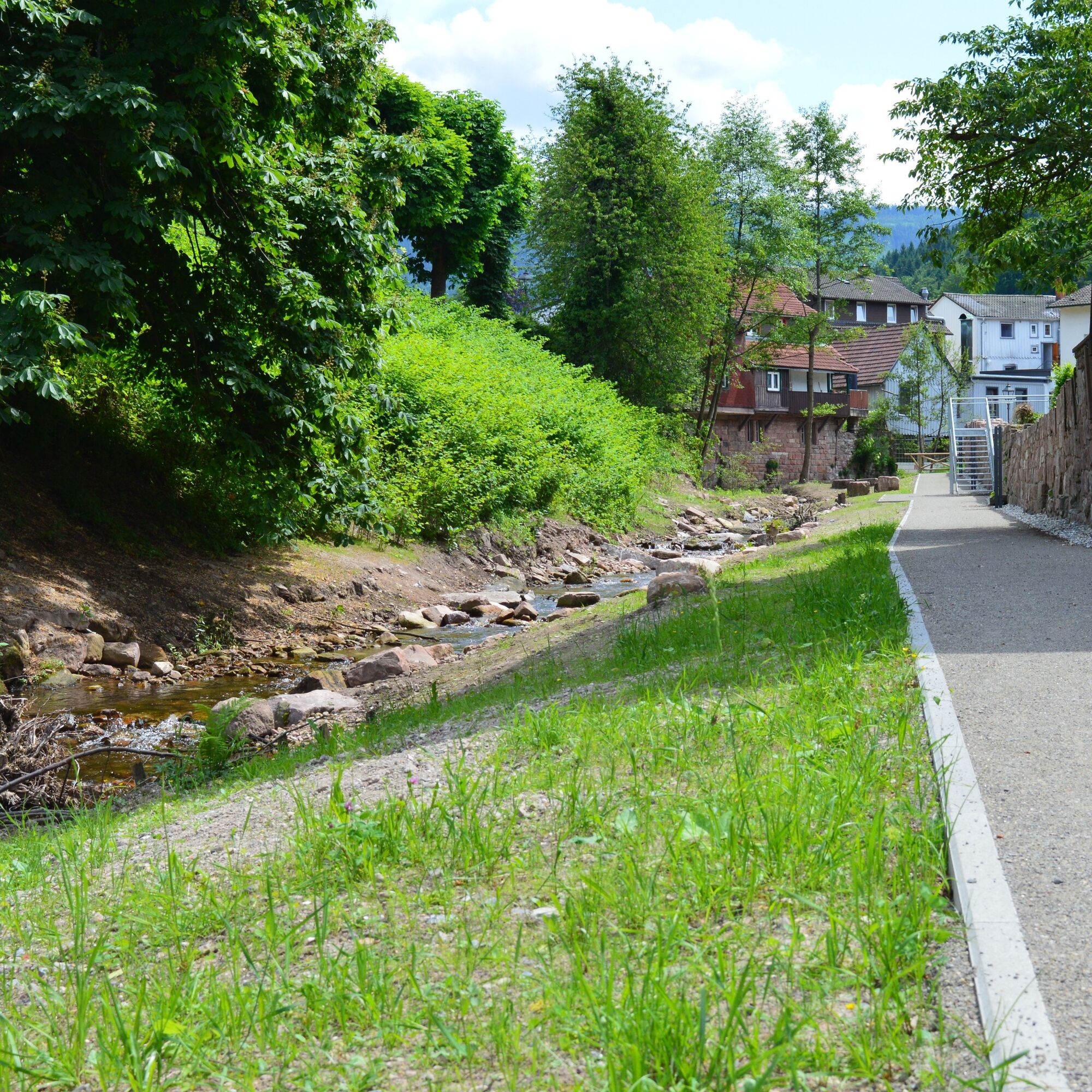
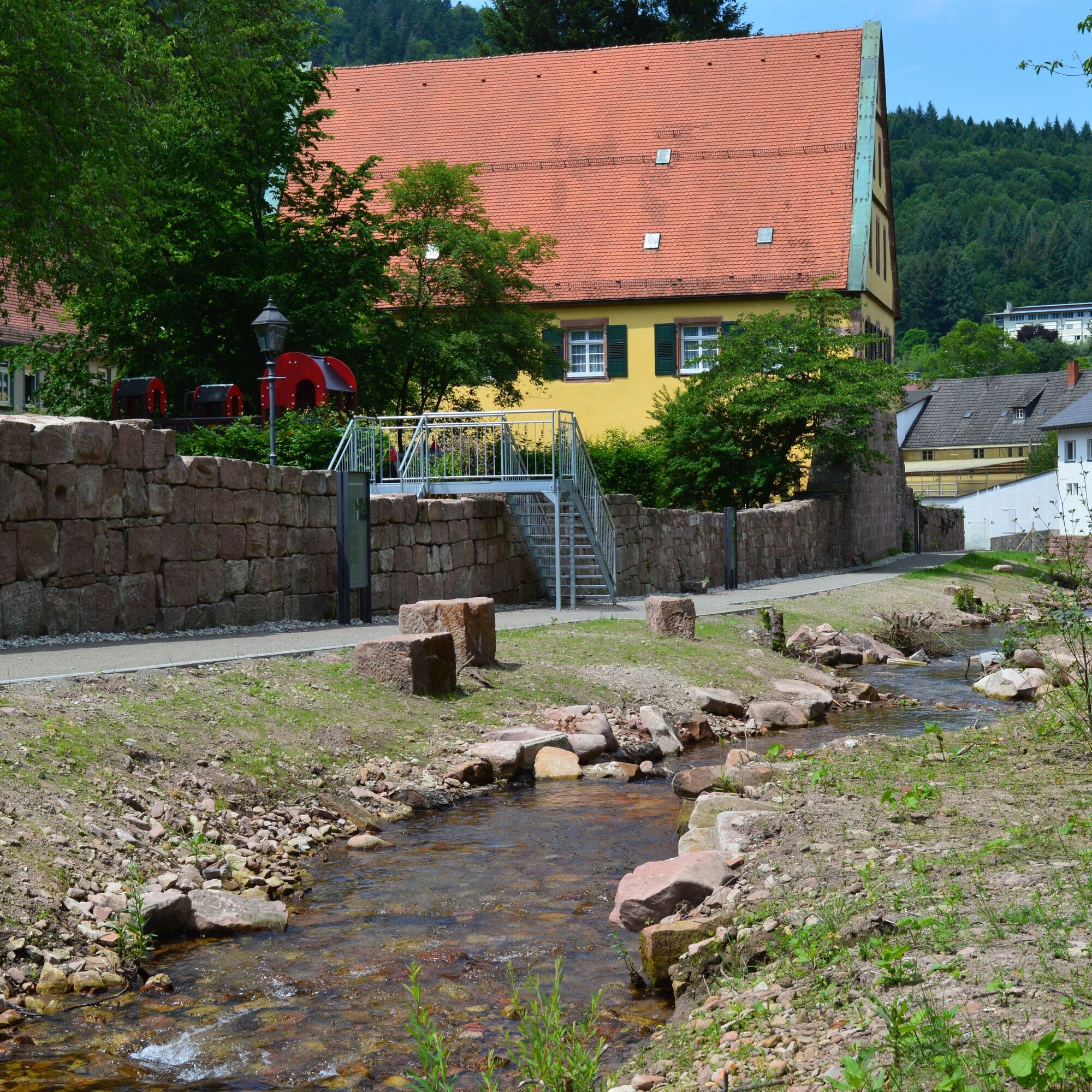
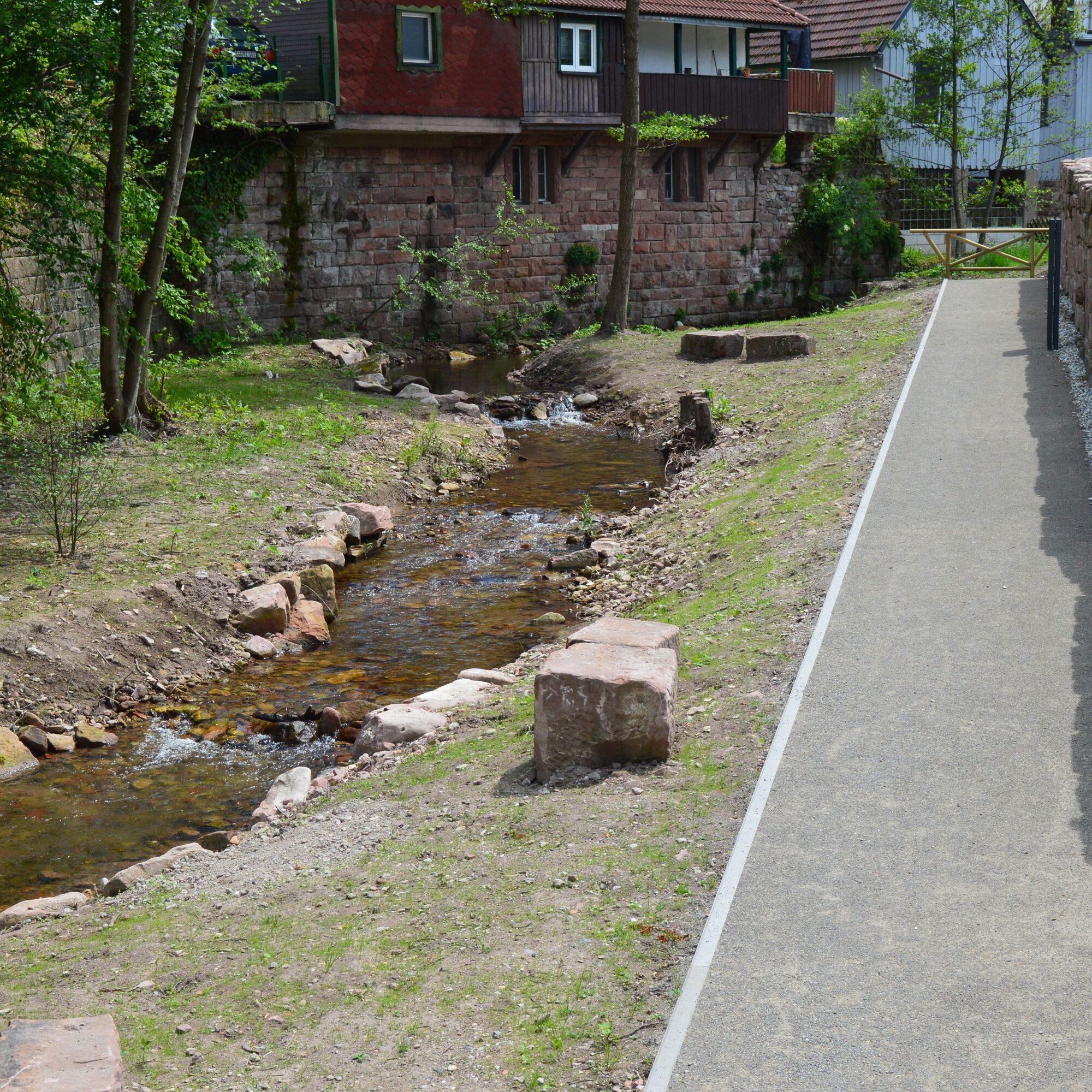

Follow the Gaisbach along the monastery wall and learn interesting facts about the Gaisbach.
Ano
Ano
Ano
From the direction of Frankfurt or Basel via motorway A5,
Exit Ettlingen, then follow the signs.
From the direction of Stuttgart via motorway A8,
Exit Karlsbad/Bad Herrenalb, then follow the signs.
By S1 from Karlsruhe via Ettlingen to Bad Herrenalb station.
From Bad Herrenalb station by bus line 116 to Bad Herrenalb Hotel Post.
P+R at Bad Herrenalb station and at the town entrance (coming from Ettlingen, turn right at the roundabout) Paid parking at the spa Paid parking at the town hall Paid parking at Sägwasenplatz Free forest parking above the cemetery
In combination with the Historical Route, the natural watercourse is definitely worth a detour!
Webové kamery z prohlídky

Oblíbené prohlídky v okolí
-
4.8
Eyach round
středníTuristika 7.84 km -
5.0
Circular route via spring nature trail and Wurstberg
světloTuristika 8.08 km -
4.2
Kaltenbronn Circular Route No. 1 - Wildsee Moor Loop
světloTuristika 8.30 km -
3.0
Dobel High-Altitude Route
středníTuristika 11.8 km -
4.3
Nature experience tour Kaltenbronn
středníTuristika 14.2 km -
4.8
Weisenbacher Steig (Rechts der Murg)
středníTuristika 17.6 km -
AugenBlick route Bad Herrenalb Schweizerkopf
středníTuristika 15.5 km -
4.0
Walk to Bernsteinfelsen
středníTuristika 14.5 km -
5.0
Rundwanderweg Sulzkar
středníTuristika 12.4 km -
4.0
Bad Herrenalb town circuit
středníTuristika 10.5 km
Pěší turistika a stopování


Nenechte si ujít nabídky a inspiraci pro vaši příští dovolenou
Vaše e-mailová adresa byl přidán do poštovního seznamu.





