


Circular route over Bernstein and Plotzsägemühle
Úroveň obtížnosti: 1
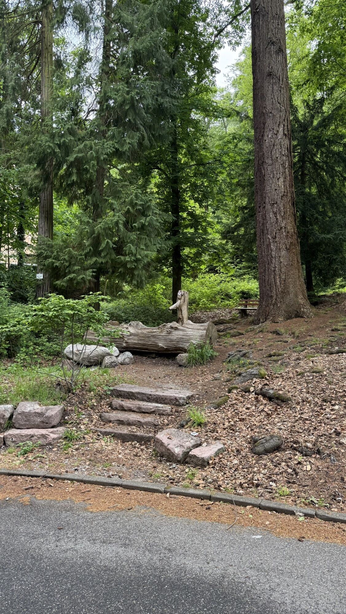
0 km: From the station square (historic station) follow Ziegelbronnenweg to Rehteichweg.
0.24 km: Turn right onto Rehteichweg and go straight ahead to the parking lot below Falkenburg Clinic.
0.6 km: From there, go right over a small stream (Pfahlwaldweg) towards Falkensteinfelsen to Bernsteinweg.
1.04 km: Stay on Bernsteinweg, always straight ahead.
5.85 km: Turn left to Bernstein Rock. (Shelter, beautiful view of the Murg valley)
6.3 km: From Bernstein Rock, take the short, steep path (Sulzbacher Weg) or push the bike.
6.66 km: Turn right into Loffenauer Weg and follow to the “Käppele” (at 9.73 km at the fork keep right!).
11.15 km: At the “Käppele” cross the road and continue at 11.32 km take the second path on the right (Holländerweg) to Risswasen.
14.88 km: Follow the (little used) road to the left to Plotzsägemühle (place to stop).
17.1 km: Cross the stream at Plotzsägemühle.
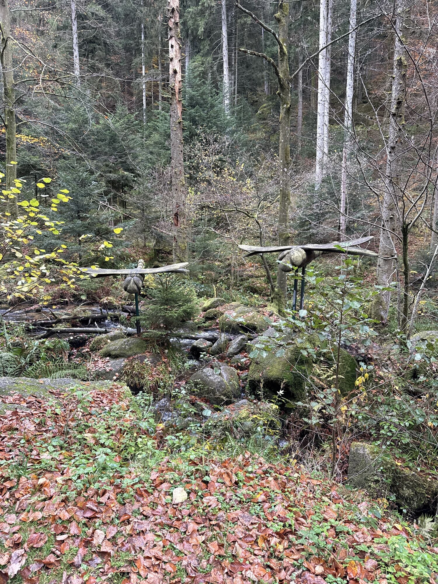
17.16 km: Turn left and follow the Albtalweg (spring experience trail) back to Bad Herrenalb.
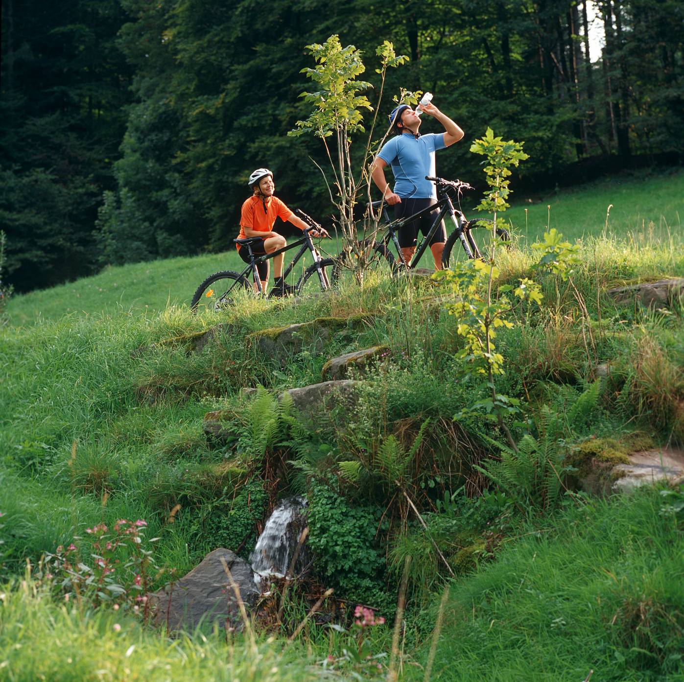
Mountain bike or trekking bike
By car:
From Frankfurt or Basel, take the A5 motorway, exit Ettlingen, then follow the signs.
From Stuttgart, take the A8 motorway, exit Karlsbad/Bad Herrenalb, then follow the signs.
with the S1 from Karlsruhe main station via Ettlingen to Bad Herrenalb station
P+R at Bad Herrenalb station
Paid parking at the town entrance (turn right at the roundabout coming from Ettlingen)
Paid parking at the thermal baths
Paid parking at the town hall
Paid parking at Sägwasenplatz
Forest parking above the cemetery free of charge
1
Tourism and City Marketing Bad Herrenalb
Rathausplatz 11
76332 Bad Herrenalb
Tel.: 07083/5005 55
E-mail: info@badherrenalb.de
www.badherrenalb.de
Dining options:
Gastronomy in Bad Herrenalb
Oblíbené prohlídky v okolí
- 5,0
Circular route via spring nature trail and Wurstberg
světloTuristika 8,08 km - 4,7
Eyach round
středníTuristika 7,84 km - 3,0
Dobel High-Altitude Route
středníTuristika 11,8 km - 4,0
Kaltenbronn Circular Route No. 1 - Wildsee Moor Loop
světloTuristika 8,30 km - 4,3
Nature experience tour Kaltenbronn
středníTuristika 14,2 km - 4,0
Spaziergang zum Bernsteinfelsen
středníTuristika 14,5 km - 4,8
Weisenbacher Steig (Rechts der Murg)
středníTuristika 17,6 km AugenBlick route Bad Herrenalb Schweizerkopf
středníTuristika 15,5 km- 4,3
The hang glider route
středníTuristika 9,09 km - 4,0
Bad Herrenalb town circuit
středníTuristika 10,5 km

Pěší turistika a stopování


Nenechte si ujít nabídky a inspiraci pro vaši příští dovolenou
Vaše e-mailová adresa byl přidán do poštovního seznamu.