







Hausach South route
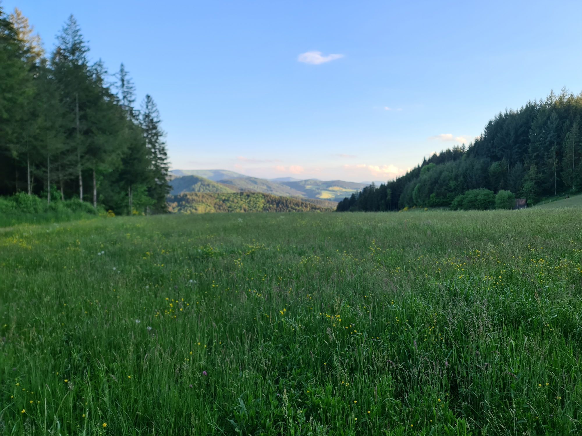
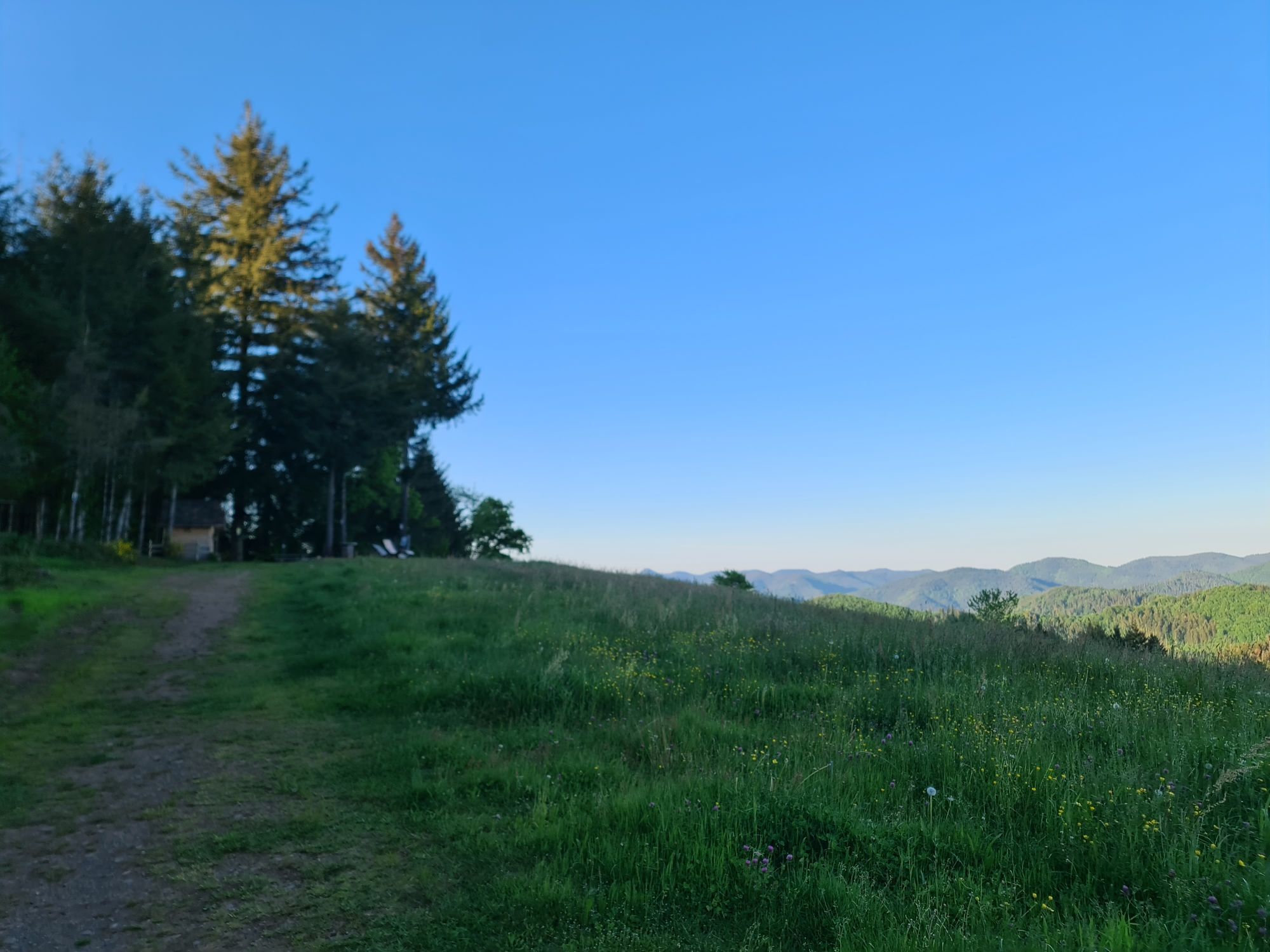
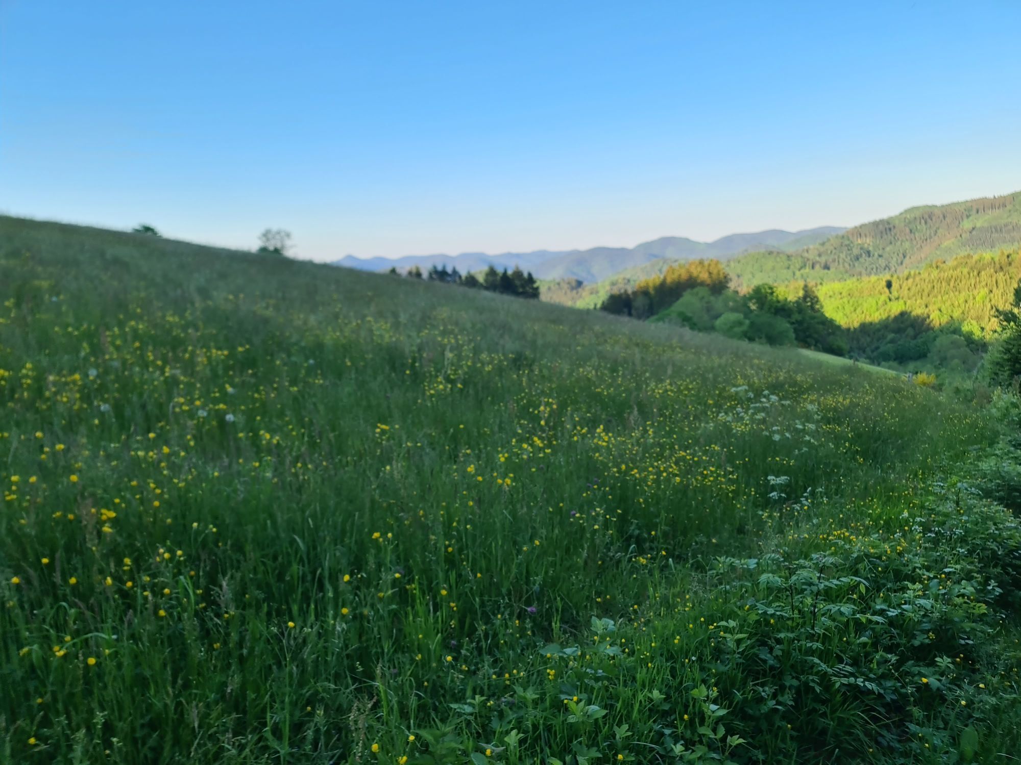
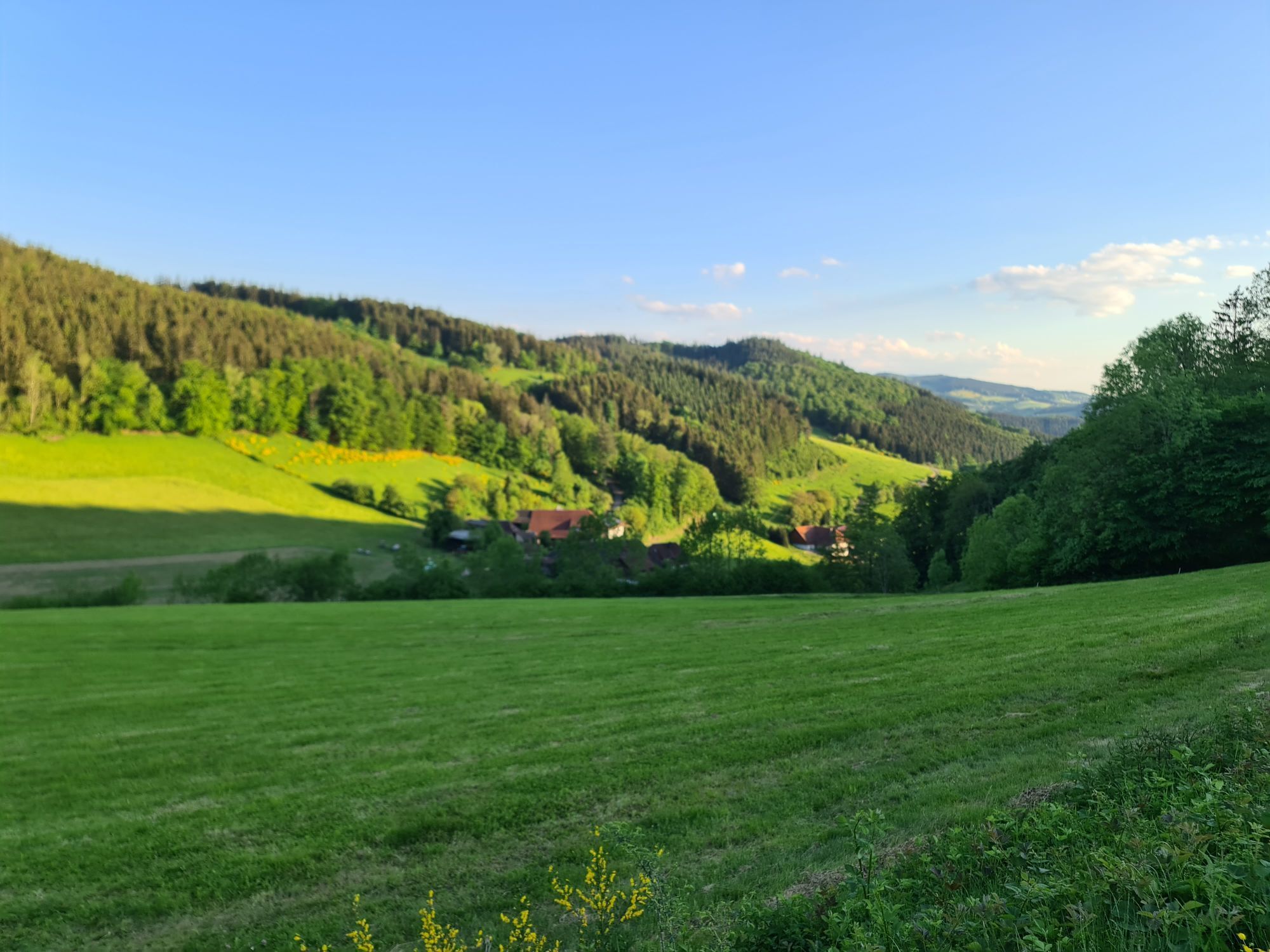
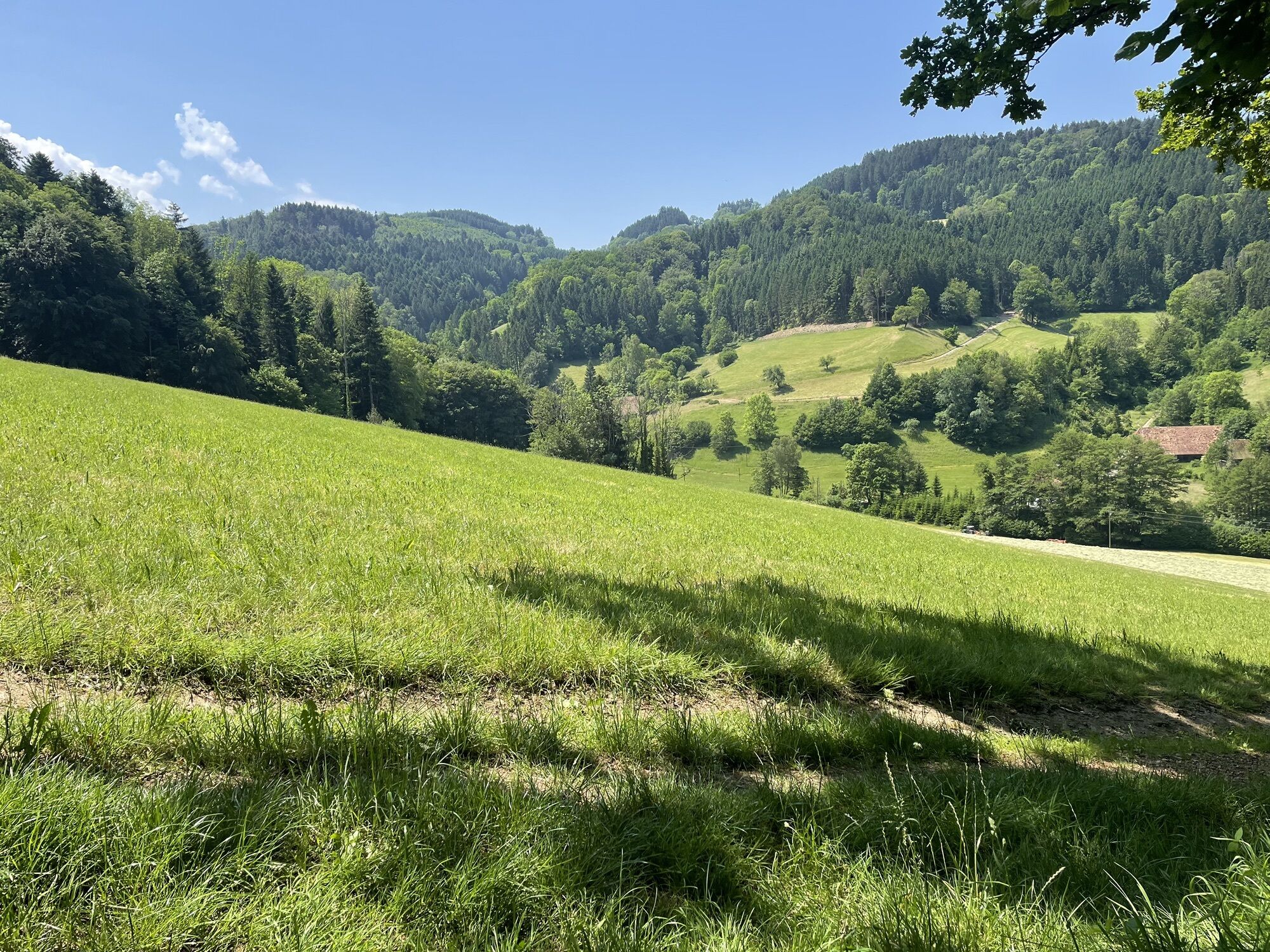
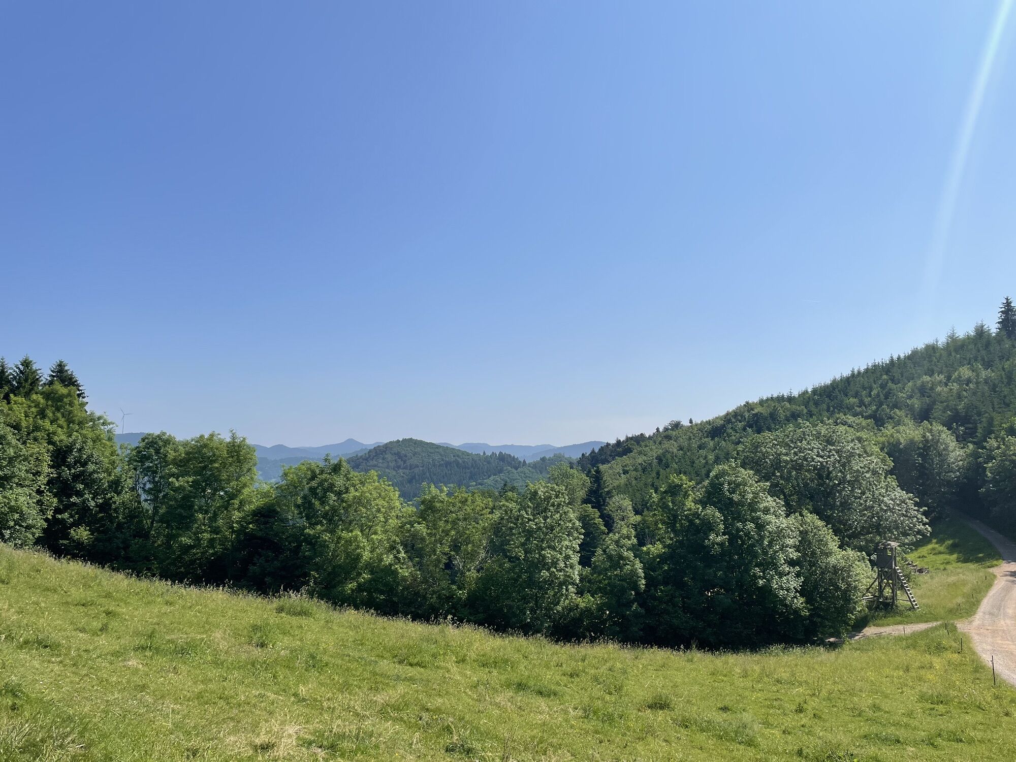
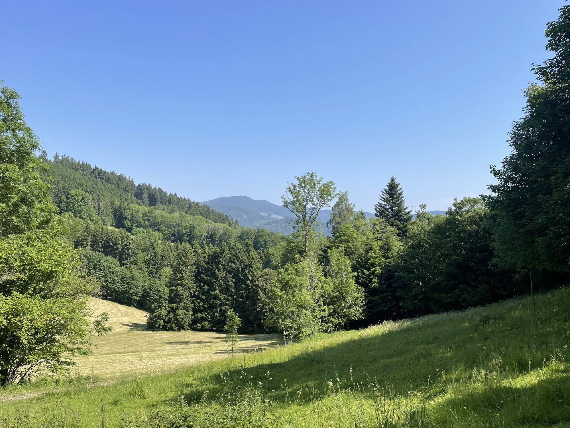
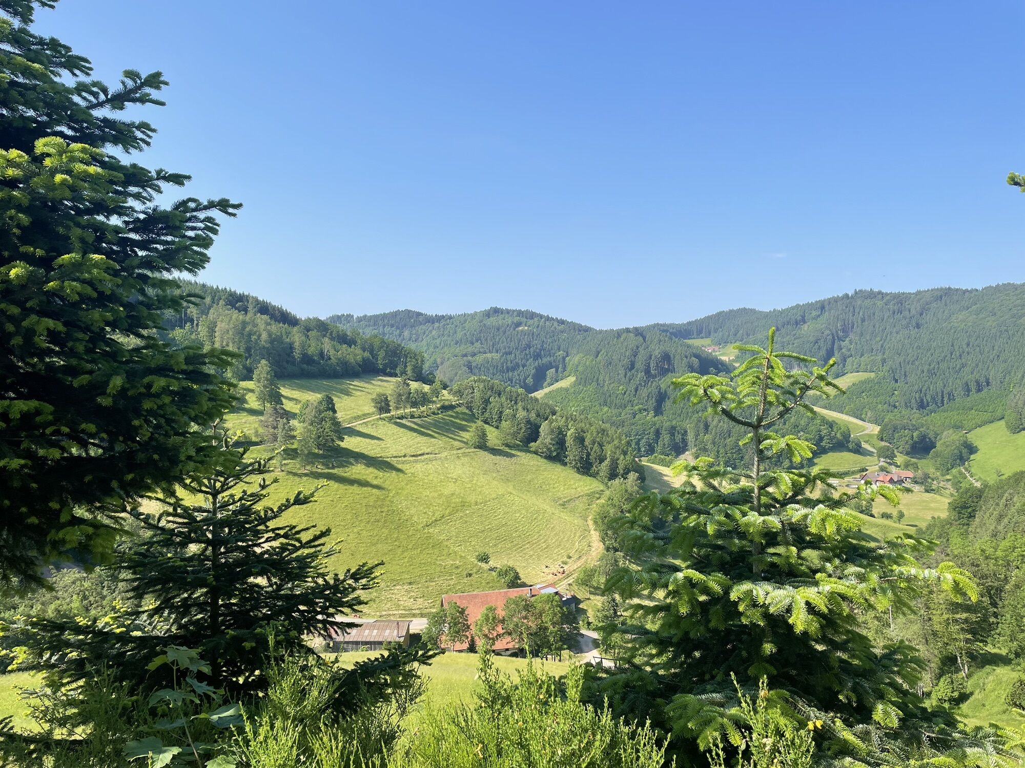
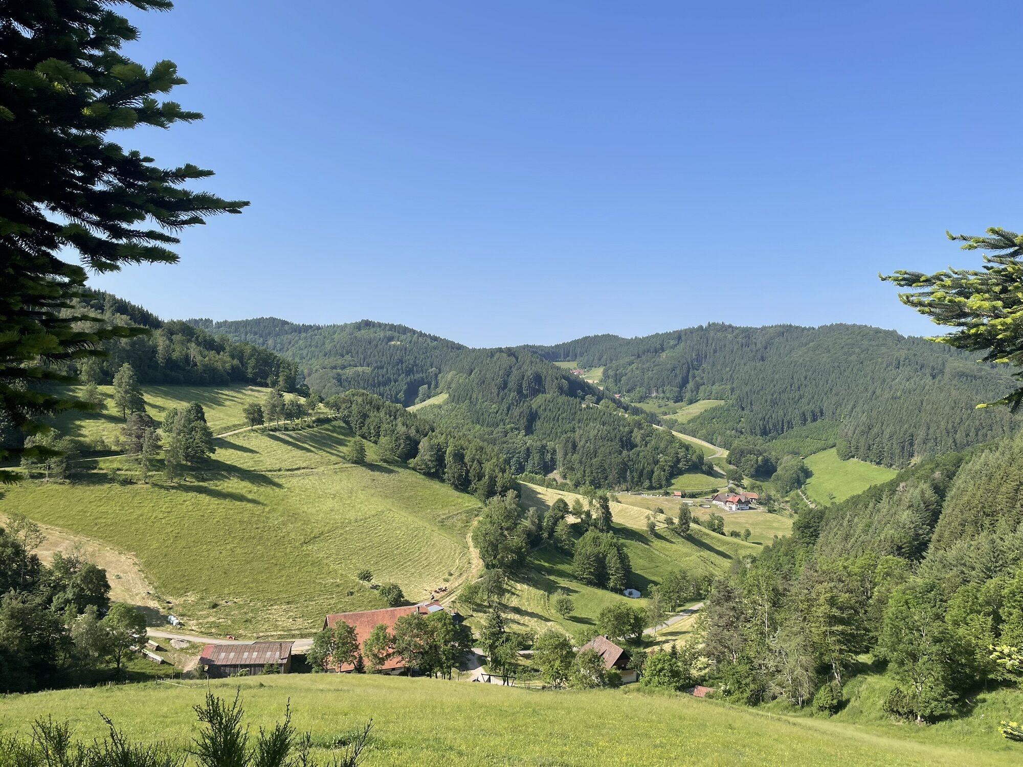
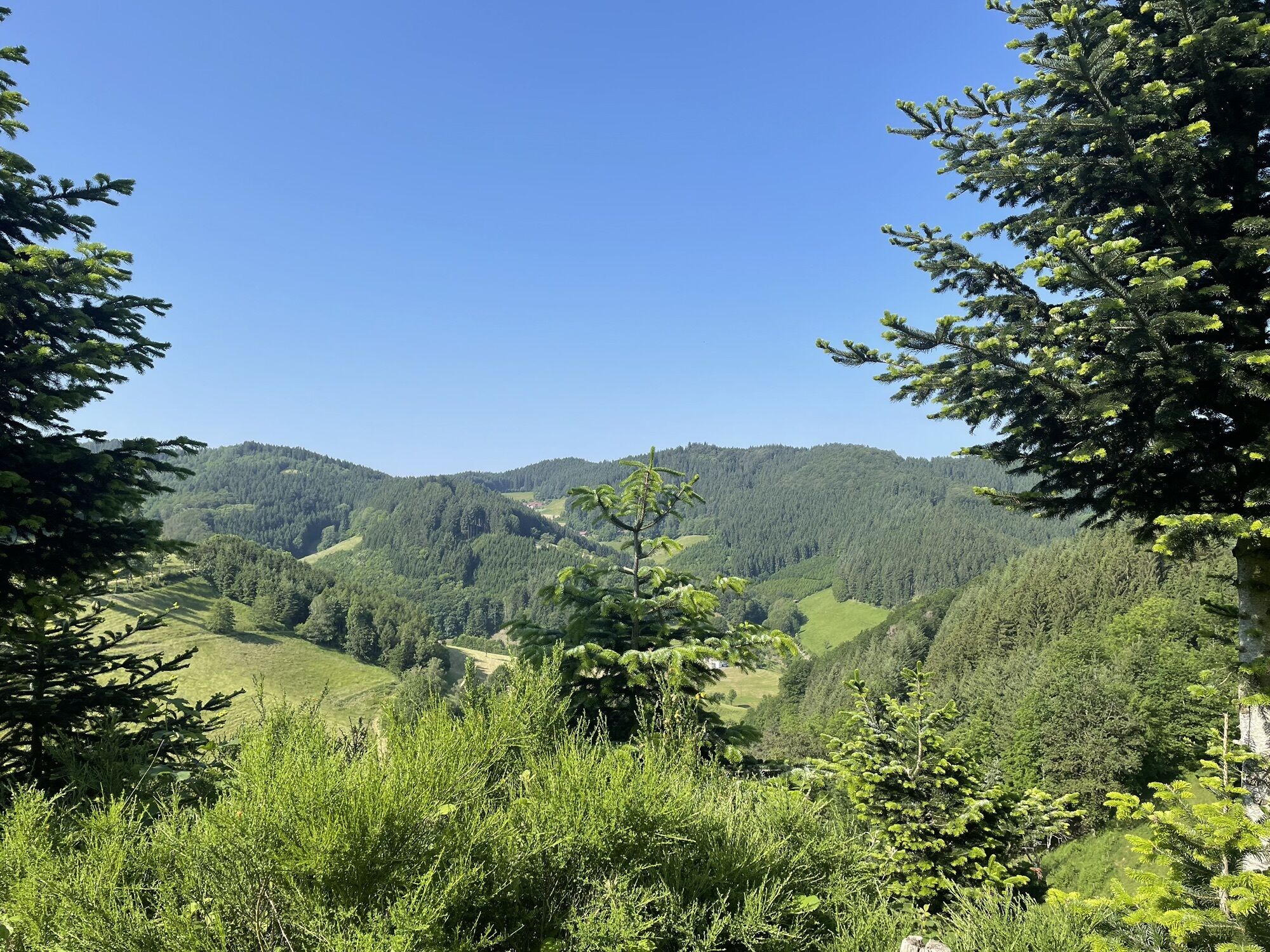
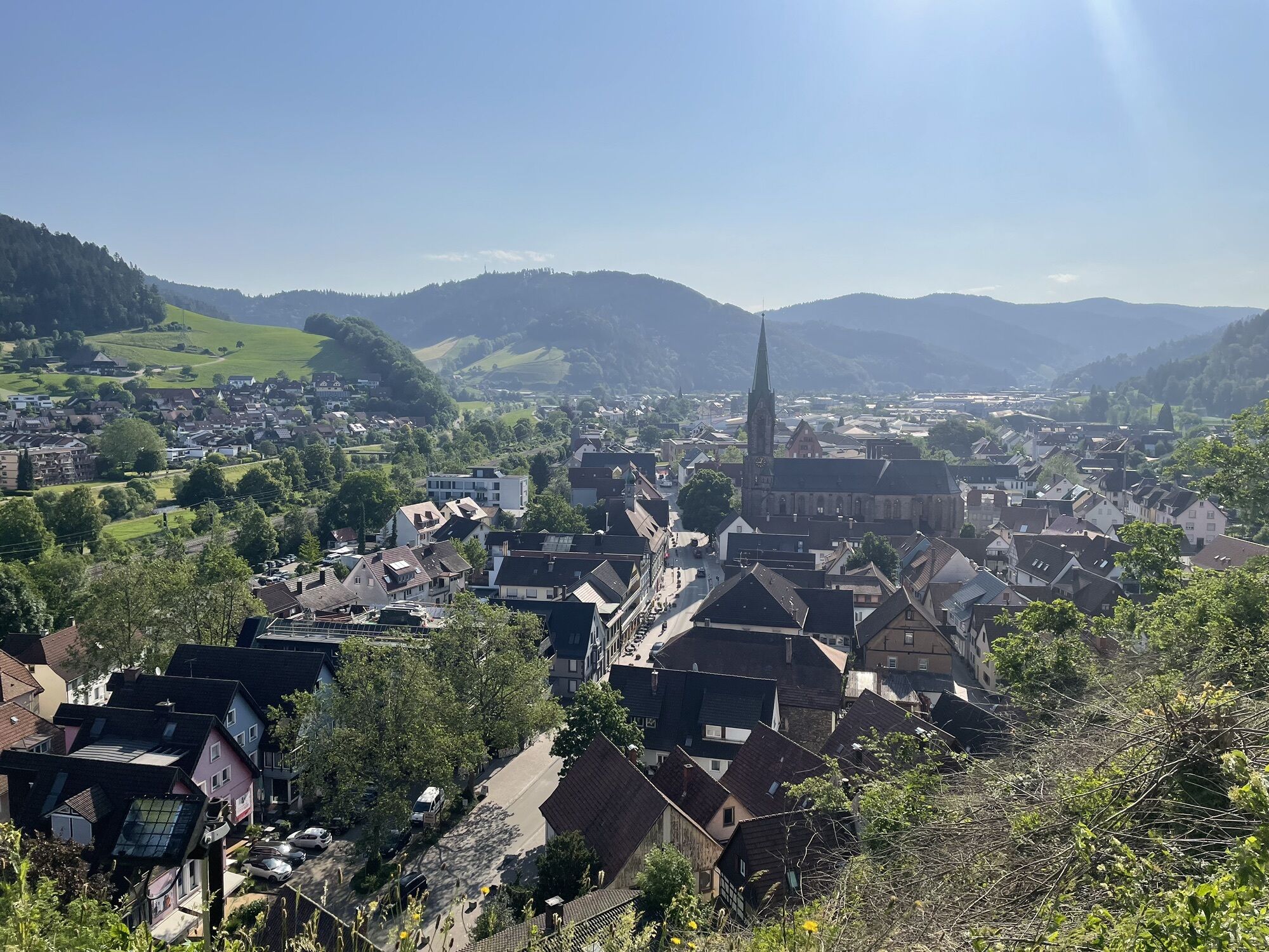
Medium difficulty route whose difficulty is characterized by the initial climb. Long middle section with attractive ups and downs, rapid descent with long run-out. Offers two additional starting points...
Medium difficulty route whose difficulty is characterized by the initial climb. Long middle section with attractive ups and downs, rapid descent with long run-out. Offers two additional starting points from Haslach and Fischerbach.

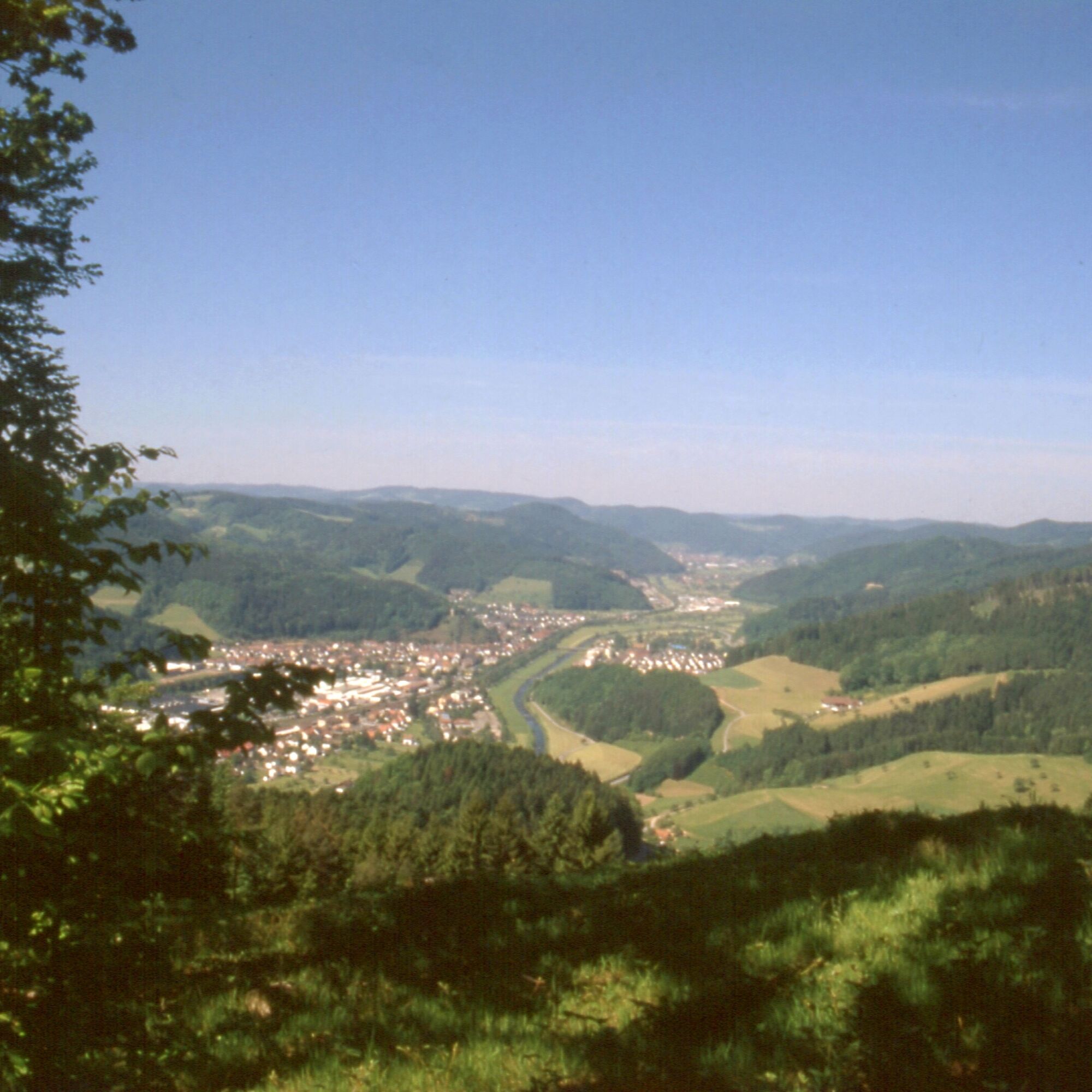

The route starts at the “Kinzig parking lot” in Hausach. From here the route leads south, at the MTB junction Hau3 turn right towards Schmieders Kreuz, through the underpass to the main road. Turn right here and shortly afterwards half left uphill into Kreuzbergstraße.
At the location "Wasserwerk" (km 0.8) turn right towards Kreuzberg. After 900m at the location "Kreuzberg" half right towards Winterberg into Unterer Deckerhofweg.
At km 2.3 at the location "Winterberg" go straight ahead into "Eichbergweg". After 1 km leave this left at a 3-way junction. This is followed by a 600 m long steep climb on an unpaved path. At the 4-way junction at km 3.9 at a clearing in the forest, turn half left onto the gravel path, which then only leads slightly uphill.
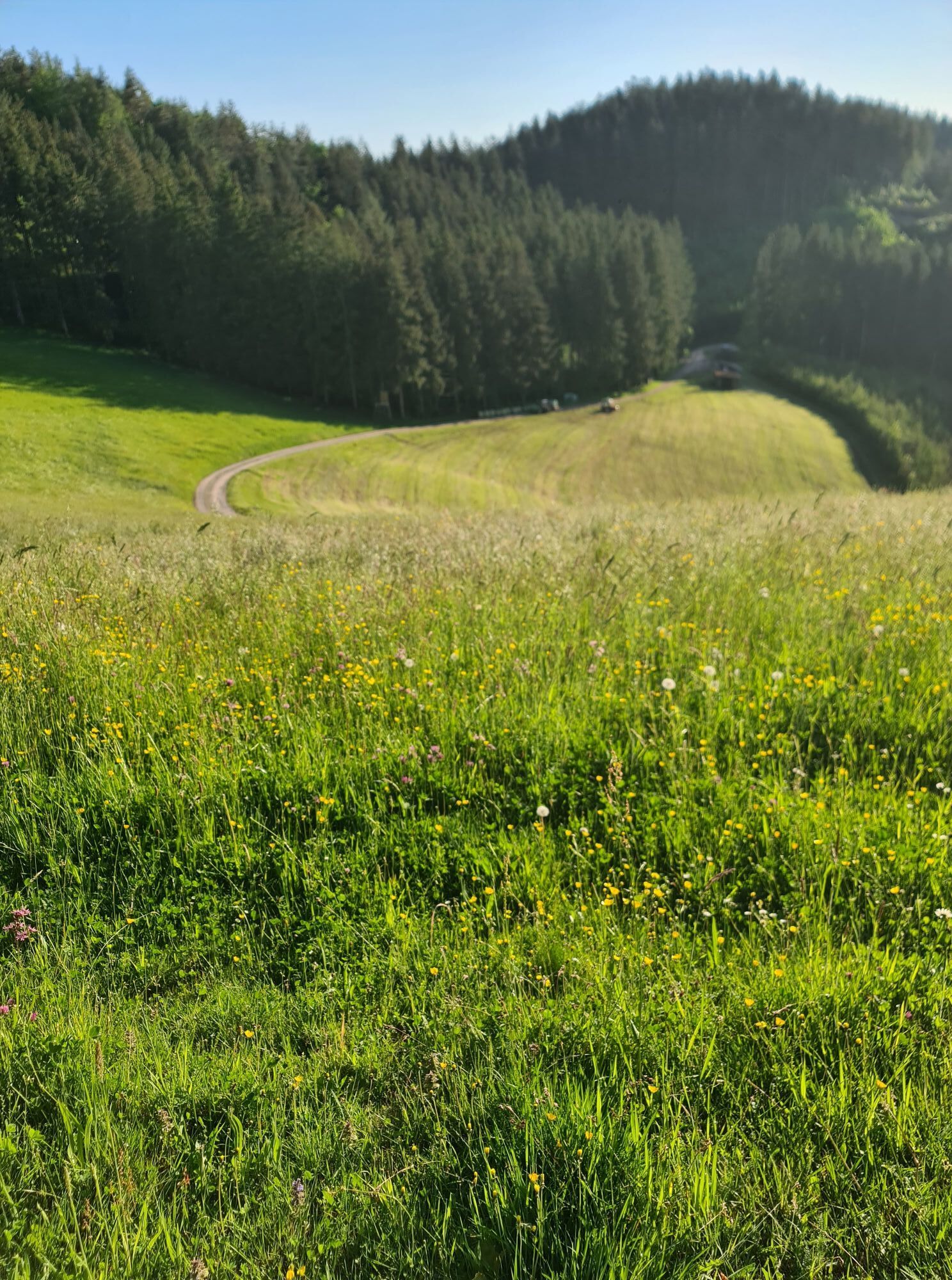
Before Schmiderhof (km 7.0) turn left steeply uphill on the meadow. At the first power pole, after 50 m, turn half left towards the forest edge.
At Schmieders Kreuz at the MTB junction MÜ5 (km 7.4) turn right towards Haslach and after another 1.3 km at the location "Auf der Platte" (MTB junction MÜ4) turn half left towards Steinmatt.
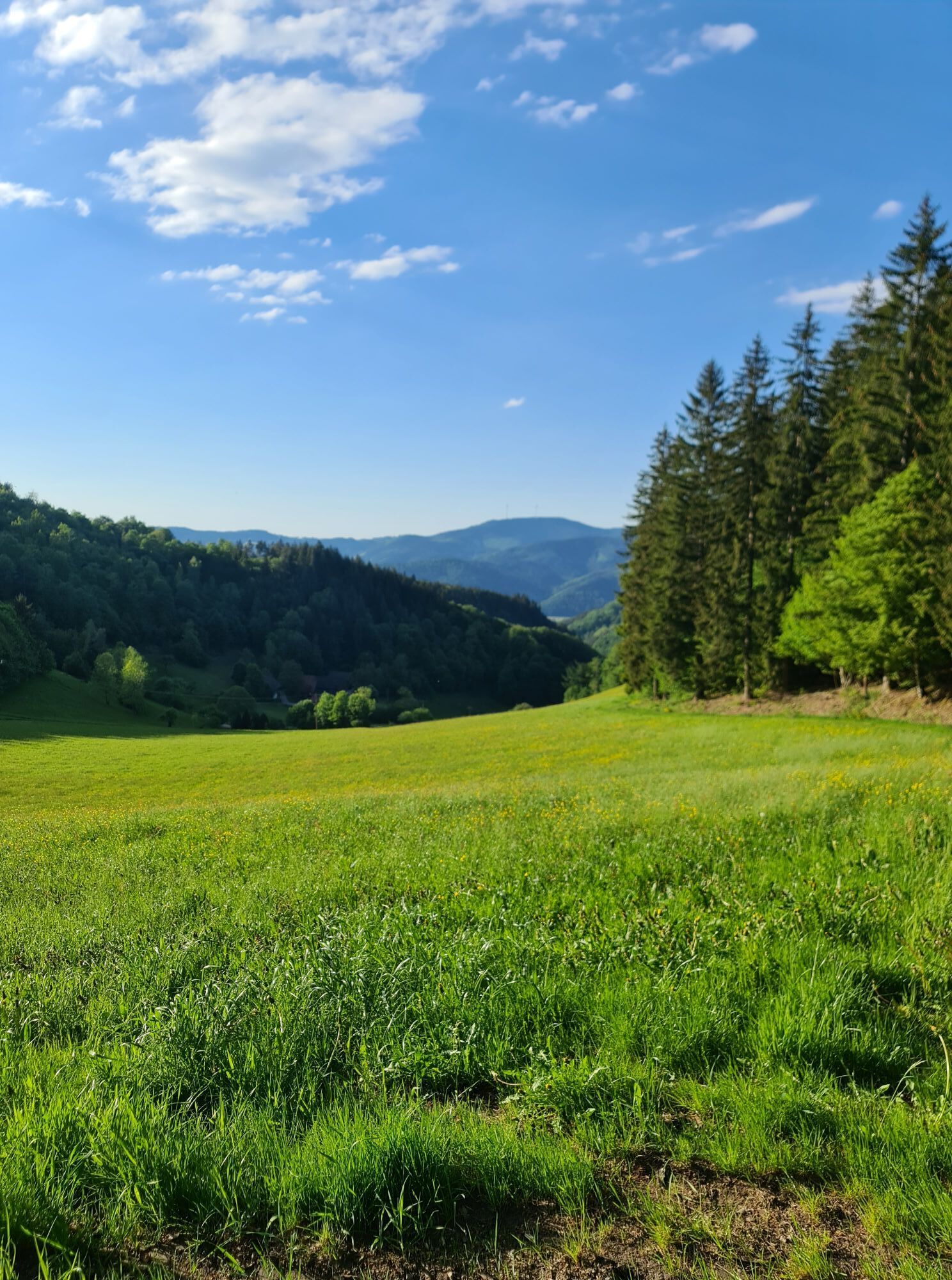
Steep climb to the viewpoint at Steinkreuz (km 9.4). Here go straight downhill past the location "Hausenbühl" 200 m away towards Mattenseppenhof.
At km 11.7 at the location "Überm Mattenseppenhof" steeply uphill again at a sharp angle to the right. After 300 m at the fork, turn half left onto an unpaved path.
After another 400 m turn left onto an unpaved path in the forest downhill (yellow diamond), which leads to the location "Steinmatt" and MTB junction MÜ3 (km 13.4). There turn right onto the gravel path towards Haslach. 100 m further on at a sharp angle turn left.
At km 14.4 at the fork near the hunting stand turn half left. Shortly afterwards steep uphill on an unpaved path until the T-junction. Here turn left onto the gravel path.
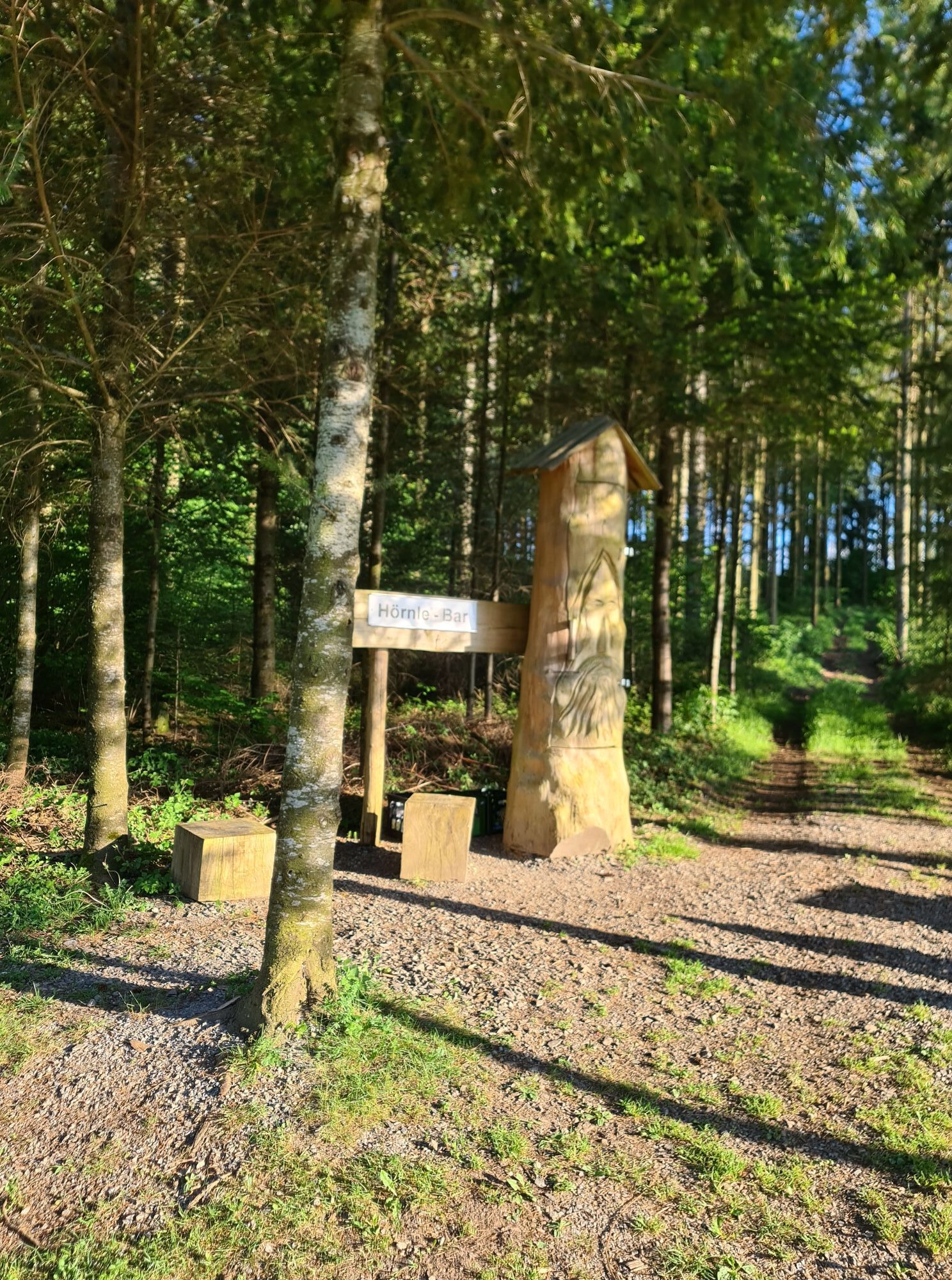
At km 14.5 at the location "Rotweinbänkle" turn half right and after another 300 m turn right.
At the 4-way junction at km 15.3 turn right. Short section slightly uphill then it goes steadily downhill past the locations "Am Hessendobel" (km 16.9) and "Heiligendobel" at km 17.5.
At the edge of Haslach at the T-junction (km 17.7) turn left onto an asphalt road and shortly afterwards into Buchenstraße.
At the Mühlenkapelle at km 18.2 turn left into Mühlenstraße and after another 300 m at the Shell gas station turn right into "Spießacker" street.
100 m further at the MTB junction HS8 in the industrial area turn right towards Fischerbach. Immediately after the Edeka market after another 200 m turn left onto the cycle path. Shortly afterwards cross the traffic light and then straight ahead on the cycle path through the underpass.
At the first 4-way junction in the industrial area (km 19) turn right, shortly afterwards ride on a cycle path parallel to the tracks.
After 1 km at the fork turn half left to the Kinzig bridge, which is crossed. Immediately afterwards turn right onto the asphalt road to the nearby MTB junction Fi2. Continue straight ahead there towards Hausach.
At km 22.4 right over the Kinzig bridge. After the bridge turn left onto the asphalt path.
After passing under the bridge (km 24) at the T-junction turn left towards the city center, continue parallel to the Kinzig River and back to the starting point of the route
B 33 / B 294 - Hausach city center
Bus lines 1066, 7150, 7151, 7160, 7161, 7266 (Südbadenbus, Südwestbus, Katz)
Parking at the Kinzig bridge as well as the designated parking lots throughout the city center
Flyer "Mountainbike-Arena Gastliches Kinzigtal"
Mountain bike map "Gastliches Kinzigtal"
Získejte přehled
Vždy živě na místě s více než 9 500 webkamerami. bergfex Jako uživatel Pro si nyní můžete zobrazit odpovídající webové kamery pro mnoho prohlídek v aplikaci prohlídky z. Můžete si tak přímo prohlédnout aktuální podmínky.
Oblíbené prohlídky v okolí
-
4.8
Hahn und Henne Tour
středníTuristika 15.0 km -
4.3
Oberhamersbach Vesperweg
středníTuristika 14.5 km -
4.8
Ortenau legend circular routes: Devil's Pulpit
středníTuristika 10.2 km -
4.7
Genießerpfad - U(h)rwaldpfad Rohrhardsberg
středníTematická stezka 8.72 km -
4.3
Paradiessteig Hofstetten
středníTuristika 12.8 km -
4.8
AugenBlick-Runde Lauterbach Güntersberg
světloTuristika 10.2 km -
3.0
Lauterbach High Valley Circuit in the hiking paradise Alb - Black Forest
světloTuristika 10.7 km -
4.0
Over the Blindensee lake to Wilhelmshöhe
středníTuristika 16.0 km -
4.7
Waldsee circular route to the Urenkopf tower
středníTuristika 7.30 km -
4.5
Sontagstour
světloTuristika 11.8 km

Pěší turistika a stopování


Nenechte si ujít nabídky a inspiraci pro vaši příští dovolenou
Vaše e-mailová adresa byl přidán do poštovního seznamu.





