
Navigace na stránkách
Pořiďte si tuto prohlídku do mobilního telefonu
Mapa
E-mountainbike loop 8 - Marais d'Aignoz - Espace FFC Ain Forestière
heavy
Mountainbike
44.60 km
Naskenujte QR kód a spusťte navigaci v aplikaci bergfex.
QR Code
Pěší turistika a stopování

E-mountainbike loop 8 - Marais d'Aignoz - Espace FFC Ain Forestière

Vzdálenost
44.6 km
Doba trvání
05:45 h
Ascent
529 hm
Hladina moře
228 - 417 m

Úroveň obtížnosti: S2

Stažení skladby
Mapa
E-mountainbike loop 8 - Marais d'Aignoz - Espace FFC Ain Forestière
heavy
Mountainbike
44.60 km

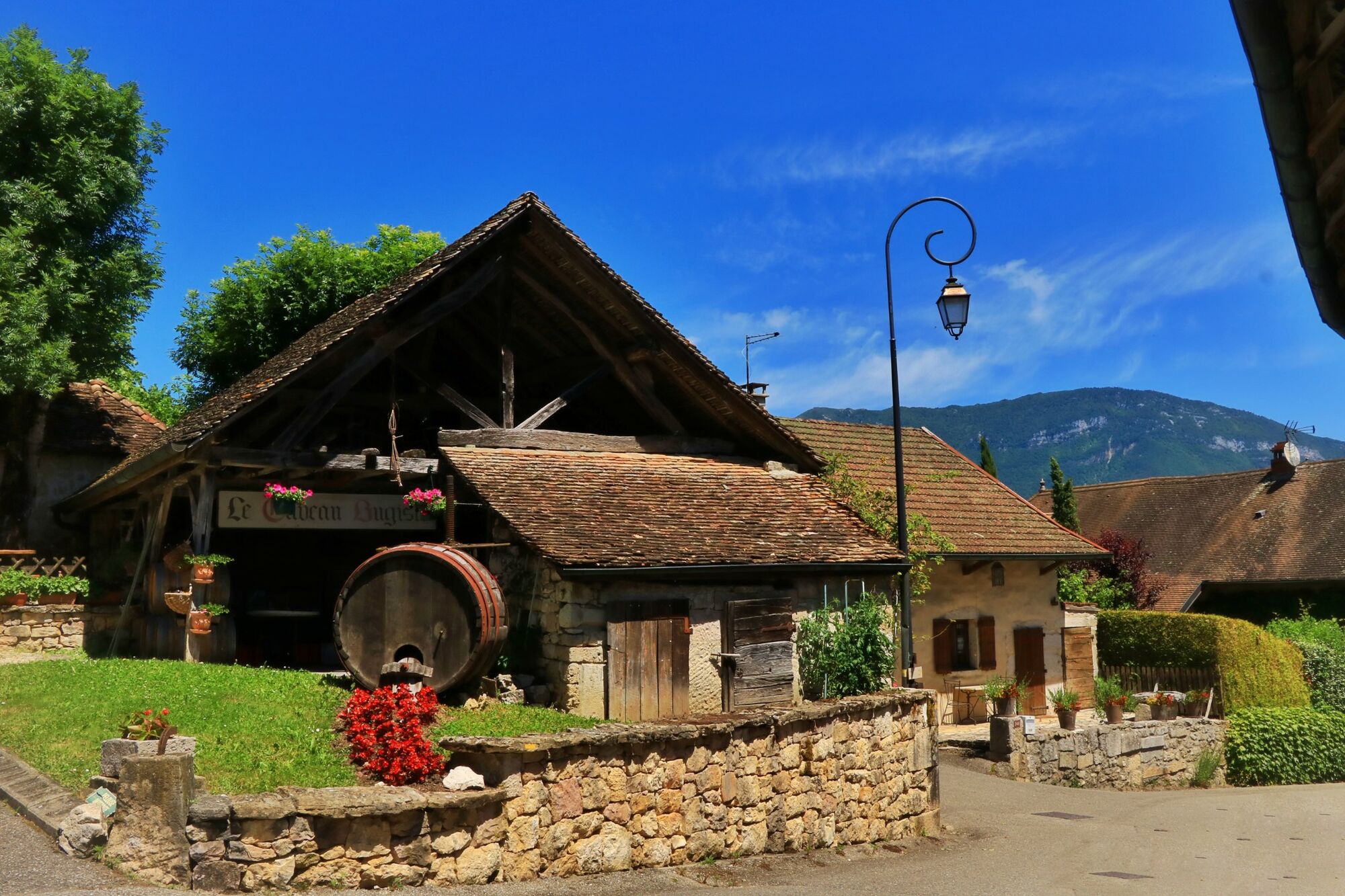
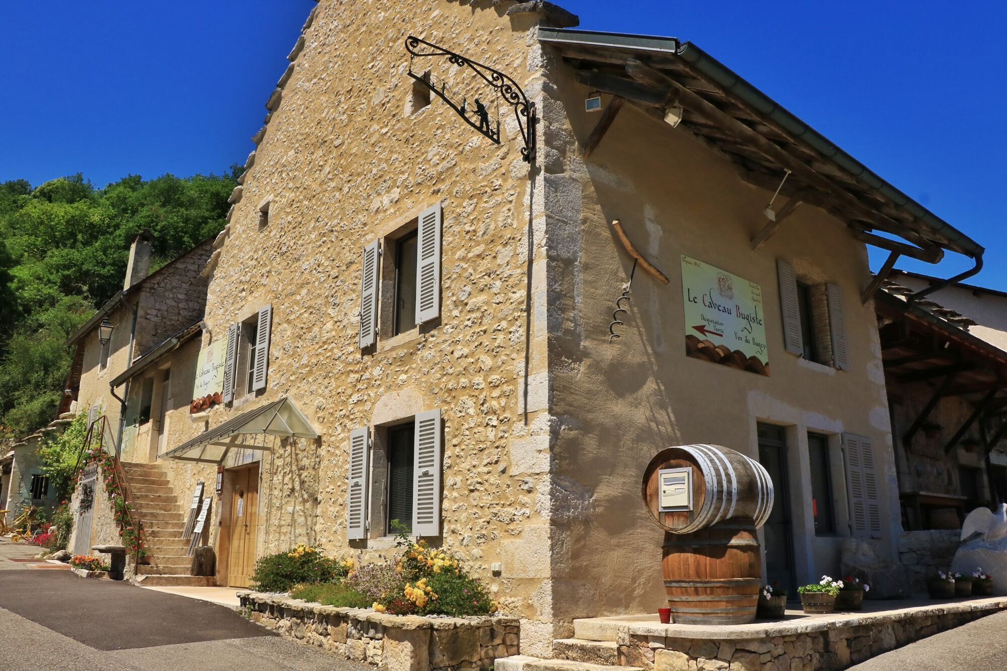
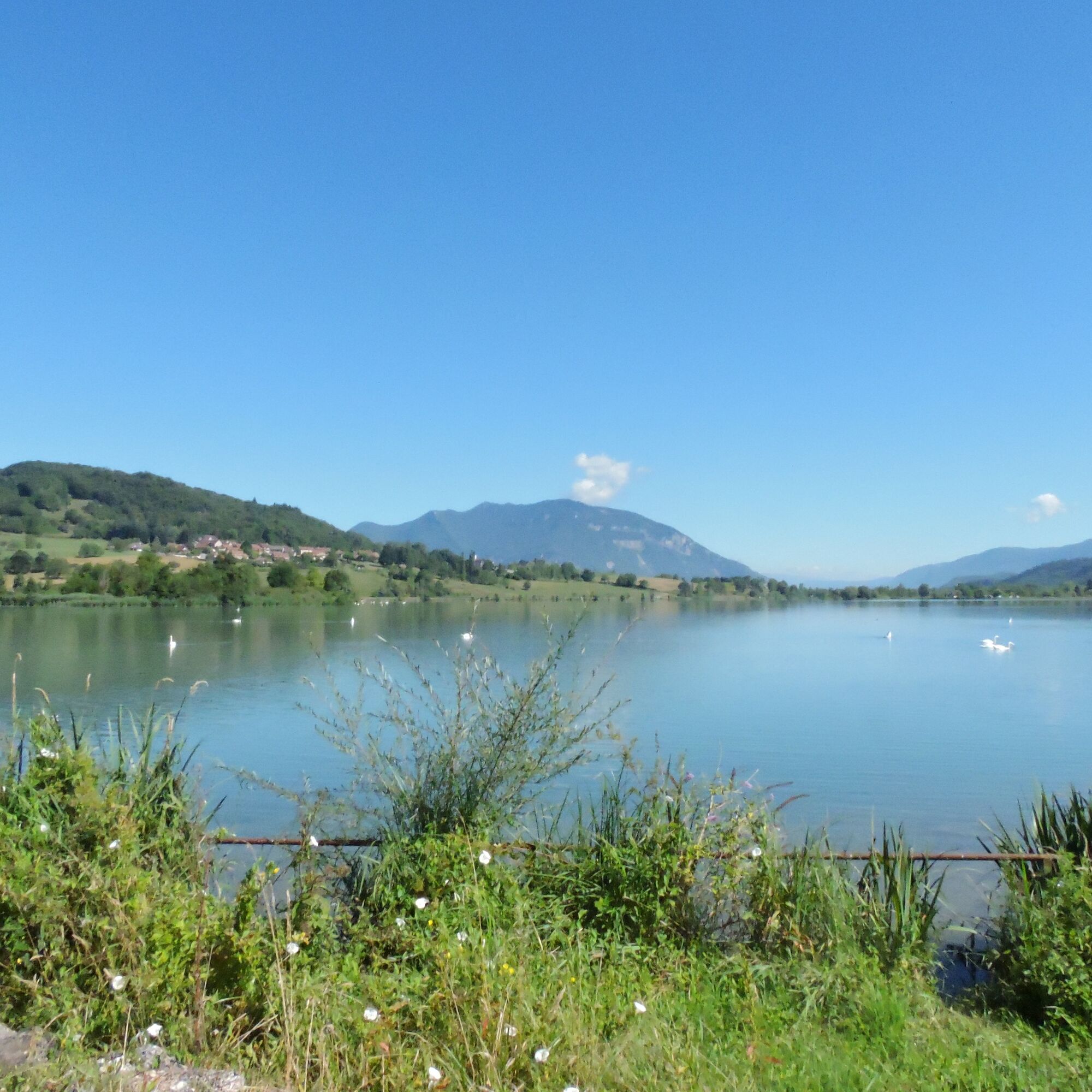
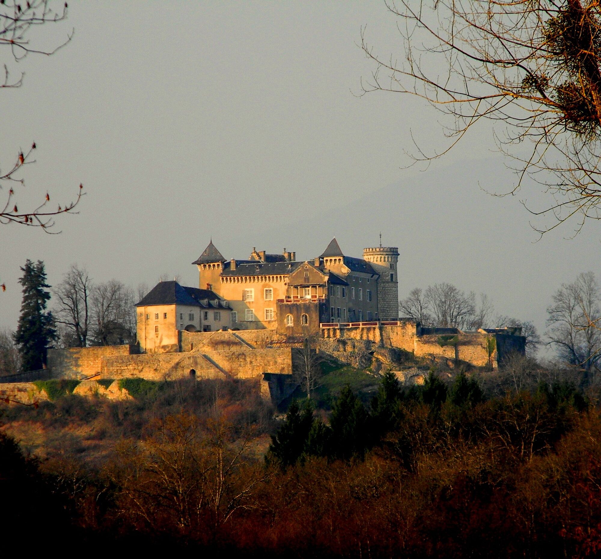
Interesting points along the route: Wine museum and wine tasting cellar in Vongnes, the nature reserve of the Lavours swamp, castle of Grammont (can't be visited), and the Bugey rail bikes.

Follow the signs...

Popis
Interesting points along the route: Wine museum and wine tasting cellar in Vongnes, the nature reserve of the Lavours swamp, castle of Grammont (can't be visited), and the Bugey rail bikes.

Follow the signs number 8.
Trasa
Belley
(281 m)
Město
0.0 km
Rochefort
(233 m)
Vypořádání
10.7 km
Pollieu
(278 m)
Vesnice
13.8 km
Flaxieu
(287 m)
Vesnice
14.5 km
Vongnes
(308 m)
Vesnice
20.6 km
Chapelle Saint-Georges
(248 m)
Místo konání bohoslužeb
32.4 km
Église évangélique de Pentecôte de Belley
(278 m)
Místo konání bohoslužeb
44.1 km
Trasa
Mapa
E-mountainbike loop 8 - Marais d'Aignoz - Espace FFC Ain Forestière
heavy
Mountainbike
44.60 km
Belley
(281 m)
Město
0.0 km
Le Lac de Bart
(243 m)
Restaurace
4.5 km
BAR Restaurant "LE Lit'Rola"
(241 m)
Restaurace
7.1 km
Restaurant La Table du Roi
(240 m)
Restaurace
7.8 km
La Tuilière
(241 m)
Vypořádání
8.0 km
Île Béard
(230 m)
Vypořádání
8.5 km
Cressin-Rochefort
(244 m)
Vesnice
10.3 km
Rochefort
(233 m)
Vypořádání
10.7 km
Le Mollard
(259 m)
Sousedství
11.2 km
Les Grands Hautins
(257 m)
Vypořádání
11.3 km
Vers Le Bochet
(272 m)
Koridor/terén
11.8 km
Les Blanchars
(267 m)
Koridor/terén
11.9 km
La Crosse
(247 m)
Koridor/terén
12.3 km
Sous Letraz
(233 m)
Koridor/terén
12.4 km
Au Parc
(232 m)
Koridor/terén
12.5 km
Les Creux
(233 m)
Koridor/terén
12.6 km
Pre Nympra
(236 m)
Koridor/terén
13.6 km
Pollieu
(278 m)
Vesnice
13.8 km
Petits Hautins
(234 m)
Koridor/terén
14.0 km
En Feigneu
(235 m)
Koridor/terén
14.3 km
En Loua
(237 m)
Koridor/terén
14.5 km
Flaxieu
(287 m)
Vesnice
14.5 km
En Flay
(231 m)
Koridor/terén
14.7 km
La Cote
(242 m)
Koridor/terén
14.7 km
La Contamine
(236 m)
Koridor/terén
15.4 km
Pré de Meriko
(233 m)
Koridor/terén
15.9 km
À la Planche
(232 m)
Koridor/terén
16.2 km
Aignoz
(240 m)
Vypořádání
17.5 km
Sur les Coriaz
(234 m)
Koridor/terén
18.2 km
Pré de Meriko
(233 m)
Koridor/terén
19.1 km
À Bossieux
(274 m)
Koridor/terén
19.8 km
Vongnes
(308 m)
Vesnice
20.6 km
Le Potet
(390 m)
Koridor/terén
21.3 km
La Palaz
(393 m)
Koridor/terén
21.7 km
En Musand
(394 m)
Koridor/terén
22.6 km
La Coriaz
(341 m)
Koridor/terén
25.6 km
Grammont
(369 m)
Vypořádání
26.1 km
Catton
(356 m)
Vypořádání
26.4 km
Vollien
(356 m)
Vypořádání
29.6 km
Restaurant Plottin
(248 m)
Restaurace
32.4 km
Chapelle Saint-Georges
(248 m)
Místo konání bohoslužeb
32.4 km
Pugieu
(248 m)
Vesnice
32.5 km
Les Barraques
(273 m)
Vypořádání
38.4 km
Billignin
(278 m)
Vypořádání
40.5 km
La Poisate
(287 m)
Sousedství
42.8 km
Belley
(281 m)
Město
44.0 km
Église évangélique de Pentecôte de Belley
(278 m)
Místo konání bohoslužeb
44.1 km
Informace o prohlídce
Starting from Belley, following the ViaRhôna to Rochefort.
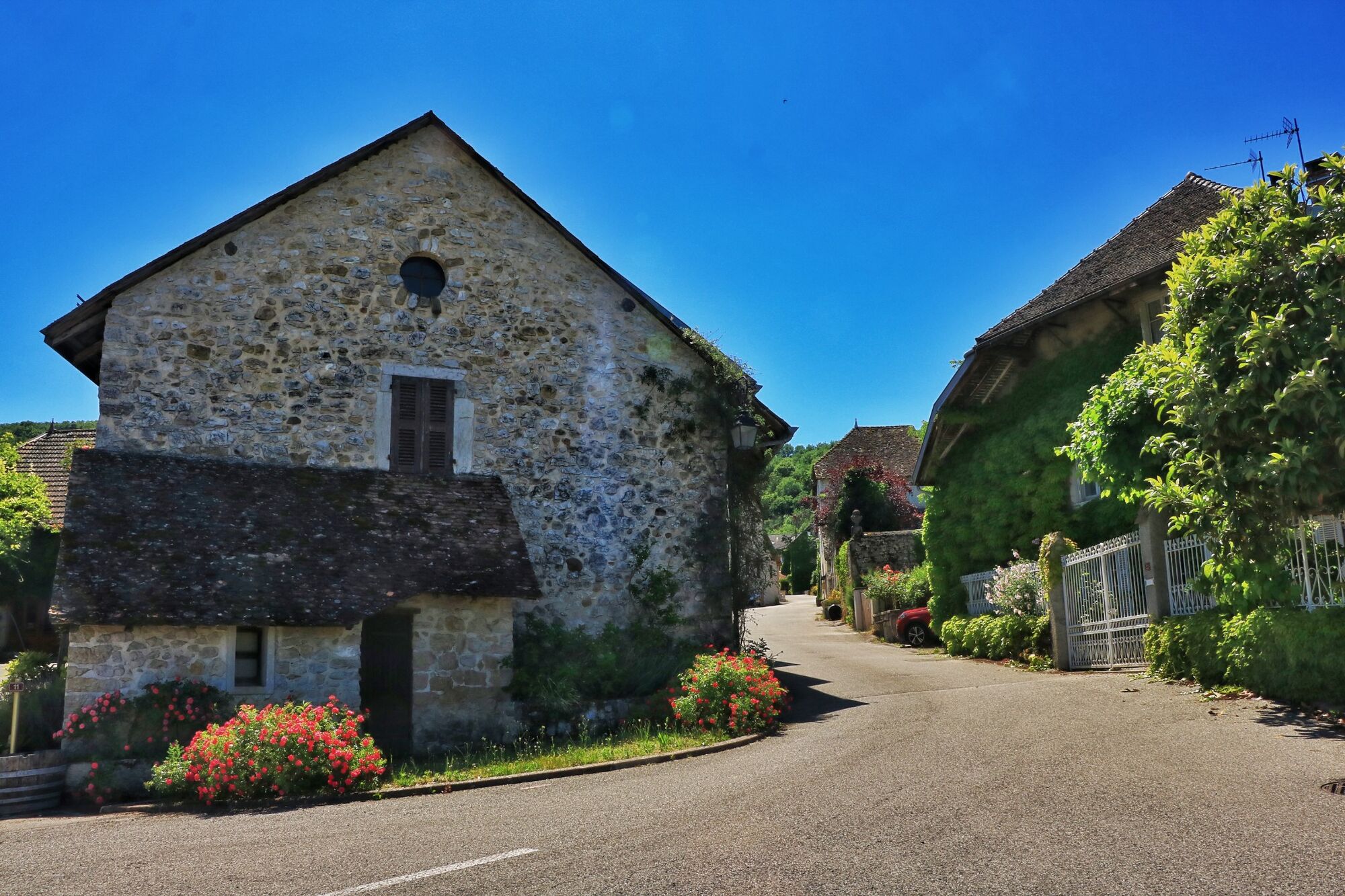
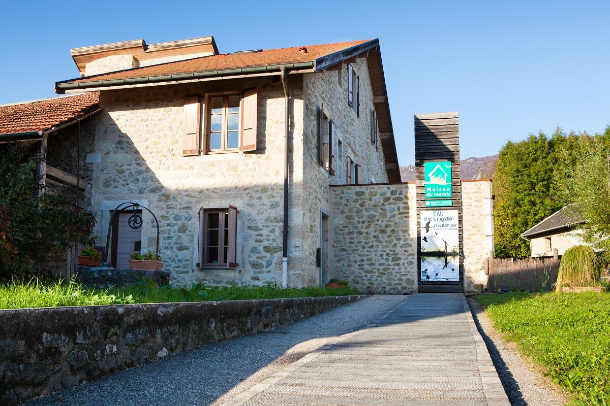
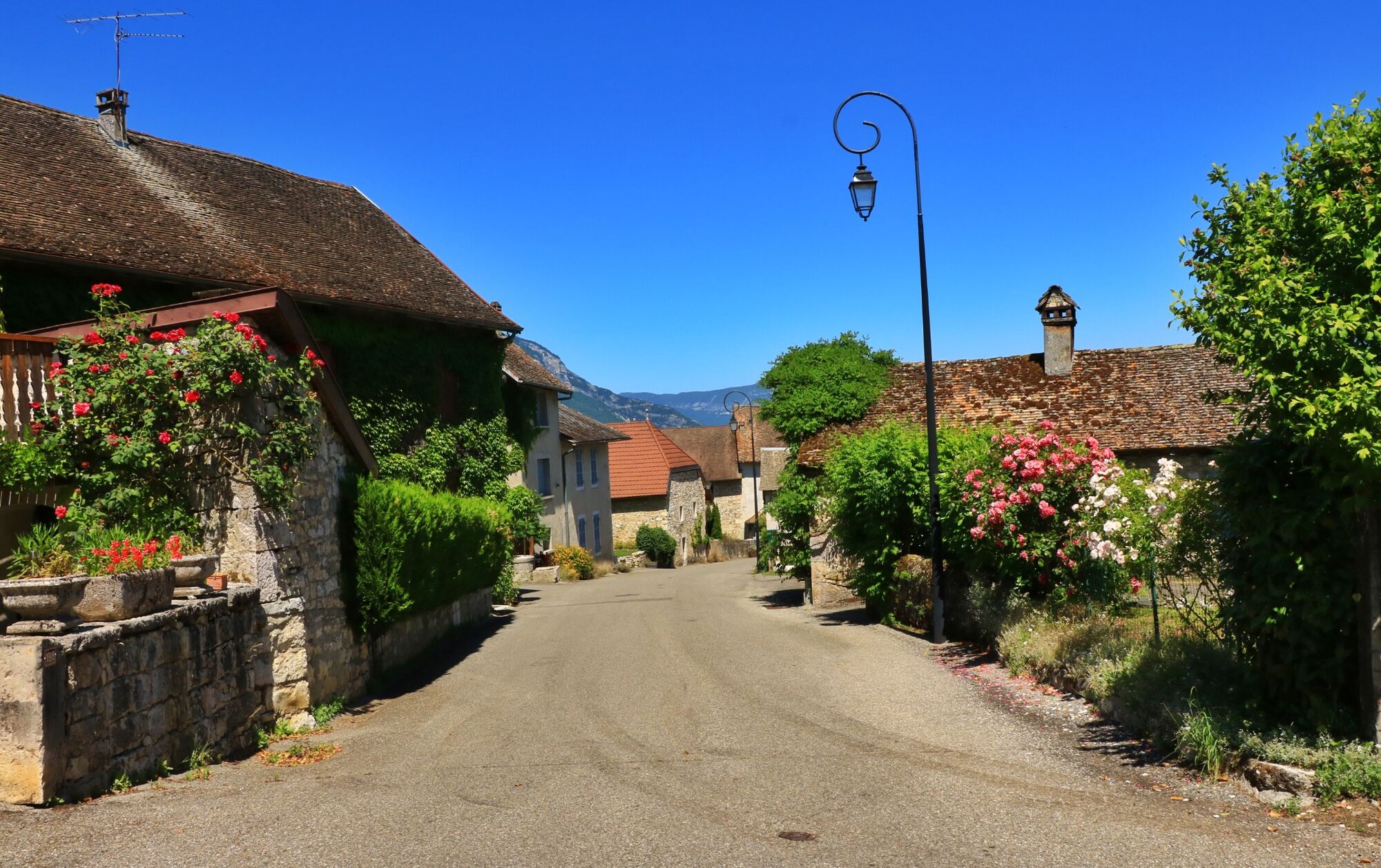
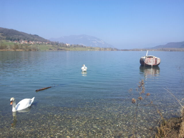
Discovery of the Maison du marais (House of the swamp) in the village of Aignoz, crossed by the wine-making village of Vongnes, you can have a break by the lake of Chavoley. Way back through Pugieu and then Billignin.
Technologie
3 / 6
Stav
5 / 6
Krajina
5 / 6
Zkušenosti
5 / 6
Nejlepší roční období
Led
Úno
Bře
Dub
Kvě
Čen
Čec
Srp
Zář
Říj
Lis
Pro
Sdílet prohlídku
Mapa
E-mountainbike loop 8 - Marais d'Aignoz - Espace FFC Ain Forestière
heavy
Mountainbike
44.60 km
Chyba
Došlo k chybě. Zkuste to prosím znovu.
Vybavení

It is strongly recommended to have a water bottle, a helmet, a mobile phone, and a repair kit.

Bezpečnostní pokyny

There are no difficult passages, please respect the mountain biker's charter.

Faulty signage, incidents / security, usage conflicts, illegal dumping? : locate and share the encountered problem on the national alert system via the SURICATE app or through the site https://sentinelles.sportsdenature.fr/

Informace o příjezdu
Příjezd

Highways from Lyon:

A40, exit 8 Saint-Martin-du-Fresne and Hauteville for Les Plans d’Hotonnes and Plateau de Retord

A42, exit 8: Ambérieu-en-Bugey

A43, exit 10 Les Abrets

Departmental roads

D 1504 from Ambérieu-en-Bugey

D 992 from Chambéry

Parkování

Several parking areas are accessible year-round, including the high school parking located 2 minutes from the start at the end of Rue du 5ème Rtm.

Další informace a tipy
Úroveň obtížnosti

S2

Tipy

Tourist Office tips.

Bike rental and repair is available at Allo Repair in Belley.

After the effort, enjoy the best tables in the town of Brillat-Savarin at the Café Neuf Brewery and the Terreaux Brewery in the town center.

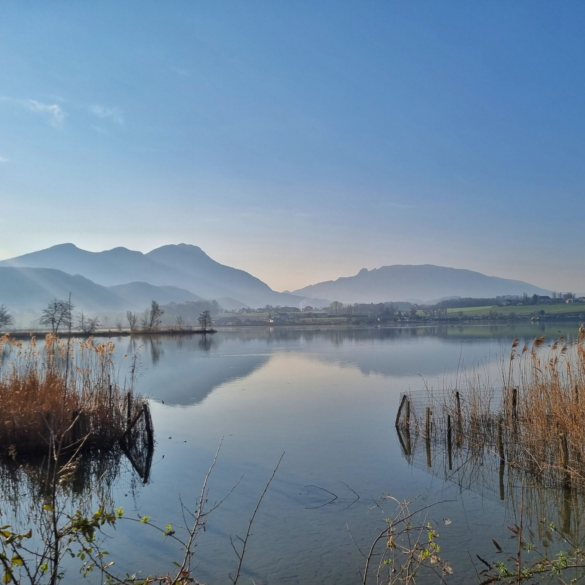
This long circuit circles the south of Bugey between the Rhône River, the wine villages, and the Lavours Marsh nature reserve.

This route is part of the “Ain Outdoor” selection.

Pěší turistika a stopování

Pěší turistika a stopování

Pěší turistika a stopování
Více než 550.000 návrhů výletů, podrobné mapy a intuitivní plánovač tras dělají z aplikace nezbytnou výbavu pro všechny milovníky přírody.
bergfex