


Hike: on the ridge of the Grand Colombier (circuit des crêtes)
Úroveň obtížnosti: T2
This hike can be downloaded on the free app Ain Outdoor.

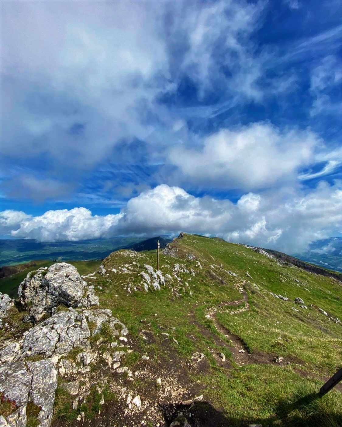
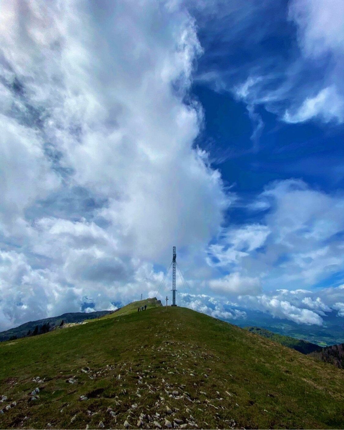
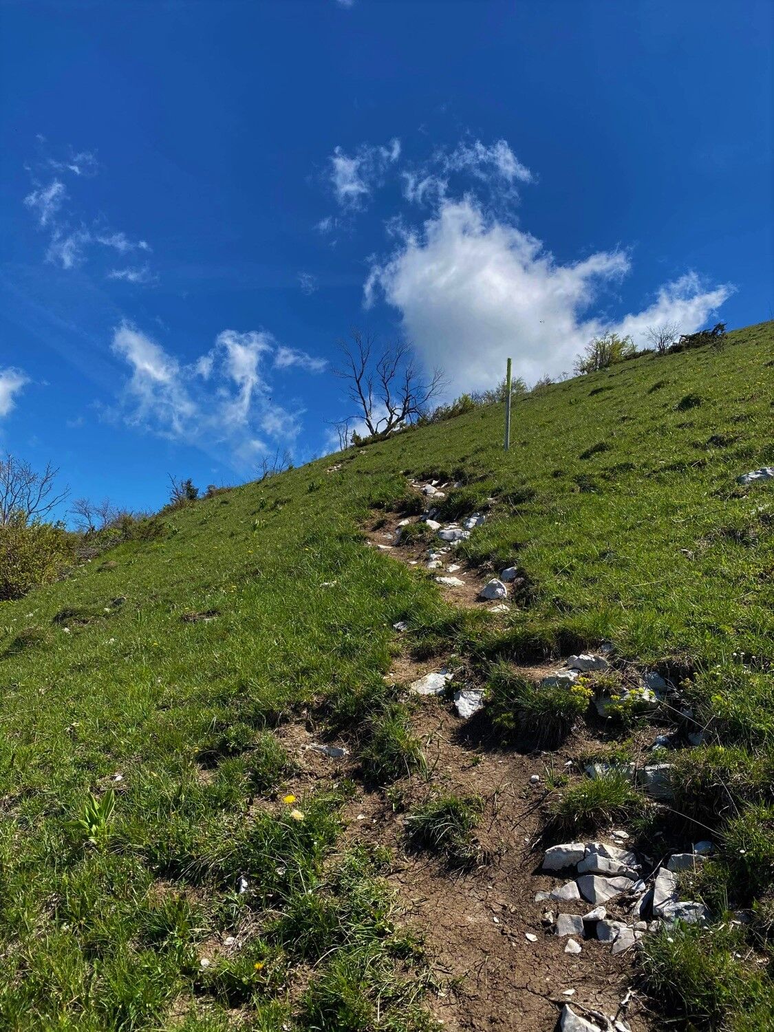
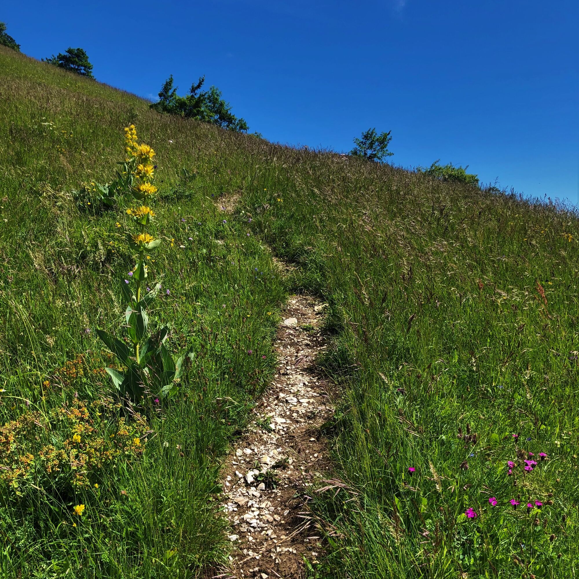
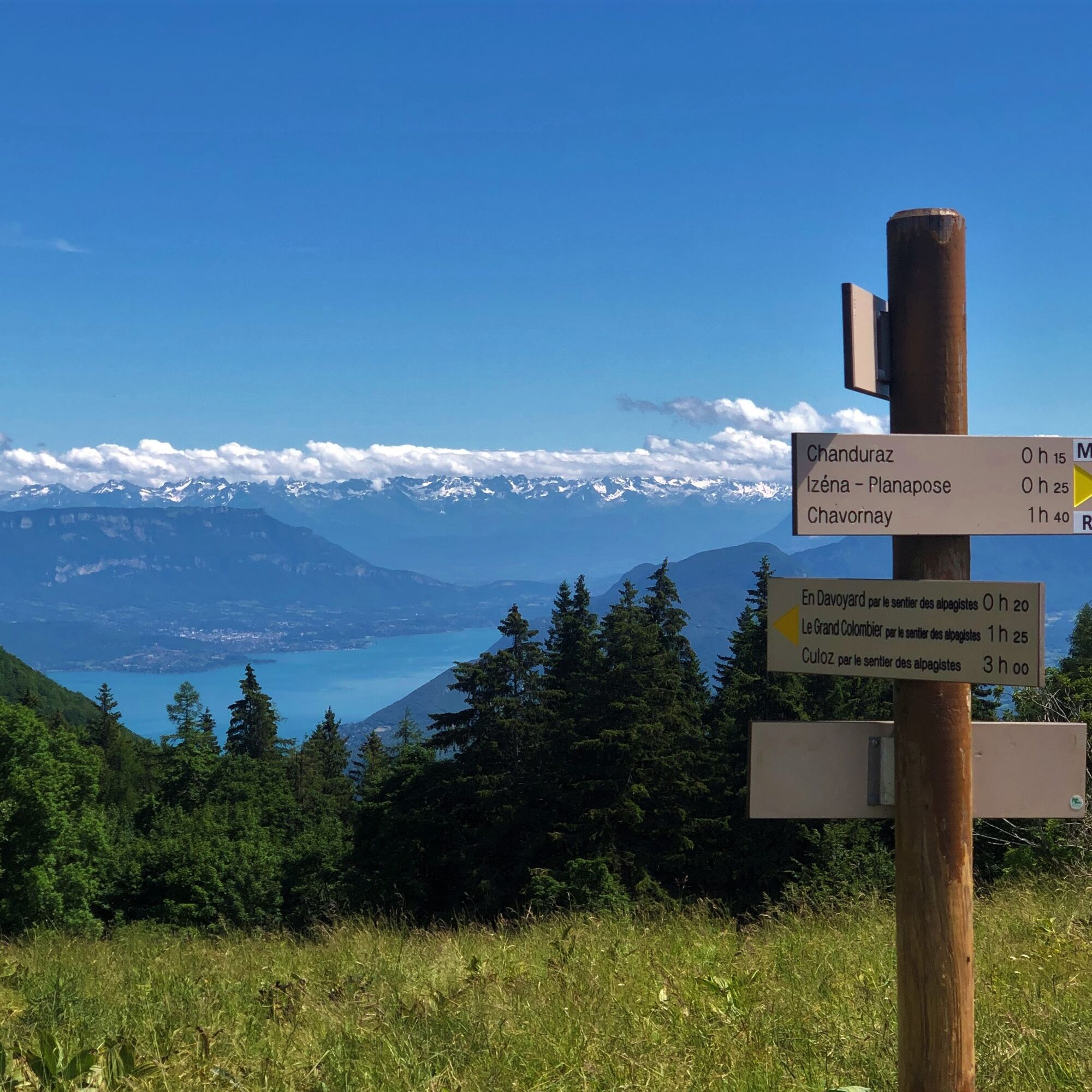
From the pass, you must first follow the ridge southwards to the summit of the Grand Colombier by following the GR. The return can be shortened by taking the road to the summit without detouring via the Charbemènes pass.
Ano
Ano
Ano
It is essential to be equipped with good shoes and enough water for this hike. The Grand Colombier is exposed to all winds and the temperature difference is often very significant compared to Culoz and the shores of Lake Bourget (approximately 7 degrees difference); a windbreaker is strongly recommended, even during summer.
Although the route is not very technical, it is not recommended for hikers with severe vertigo.
Some sections on the ridge are located just a few meters from the edge.
The end of the Roche de Chanduraz is not accessible.
The route crosses the Grand Colombier alpine pastures; utmost caution is recommended when crossing herds. Please keep your dogs on a leash and always close gates behind you.
The route is not accessible from November to April when the pass is closed.
Defective signage, incidents / safety, usage conflicts, illegal dumping? Locate and share problems encountered via the national alert system from the SURICATE app or the website https://sentinelles.sportsdenature.fr/
Located 1h30 from Lyon, 1h from Geneva, Annecy and Chambéry, we recommend avoiding the road from Virieu le Petit to ascend to the pass and favor the routes from Anglefort, Culoz, and Lochieu.
The Grand Colombier Pass is not accessible by public transport.
Many parking spaces are available at the Grand Colombier pass.
T2
APIDAE Tourism data updated 10/17/2022 by "Office de Tourisme Bugey Sud Grand Colombier".
An error on this sheet? Write to the owner quoting these references:
Sheet name: Hiking: Grand Colombier ridge route | Sheet ID: 443238 | URL (link) of this Outdooractive page.
Tips from the Tourist Office.
For small and large hunger pangs after the hike, we recommend the café restaurant la Barque in Champagne-en-Valromey, the Snack du Colombier and its pond, the restaurant Au Campagnard Autrement in Culoz, the Ferme du Marais in Ceyzerieu, and the Auberge de la Paillère in Lavours.
A must for cheese and Comté lovers, discover the Valromette, the raclette made in Valromey at the Fruitière du Valromey located in Virieu-le-Petit. Along the route, you will also find places to eat and refresh yourself at the Pause du Grand Colombier located at the summit of the pass.
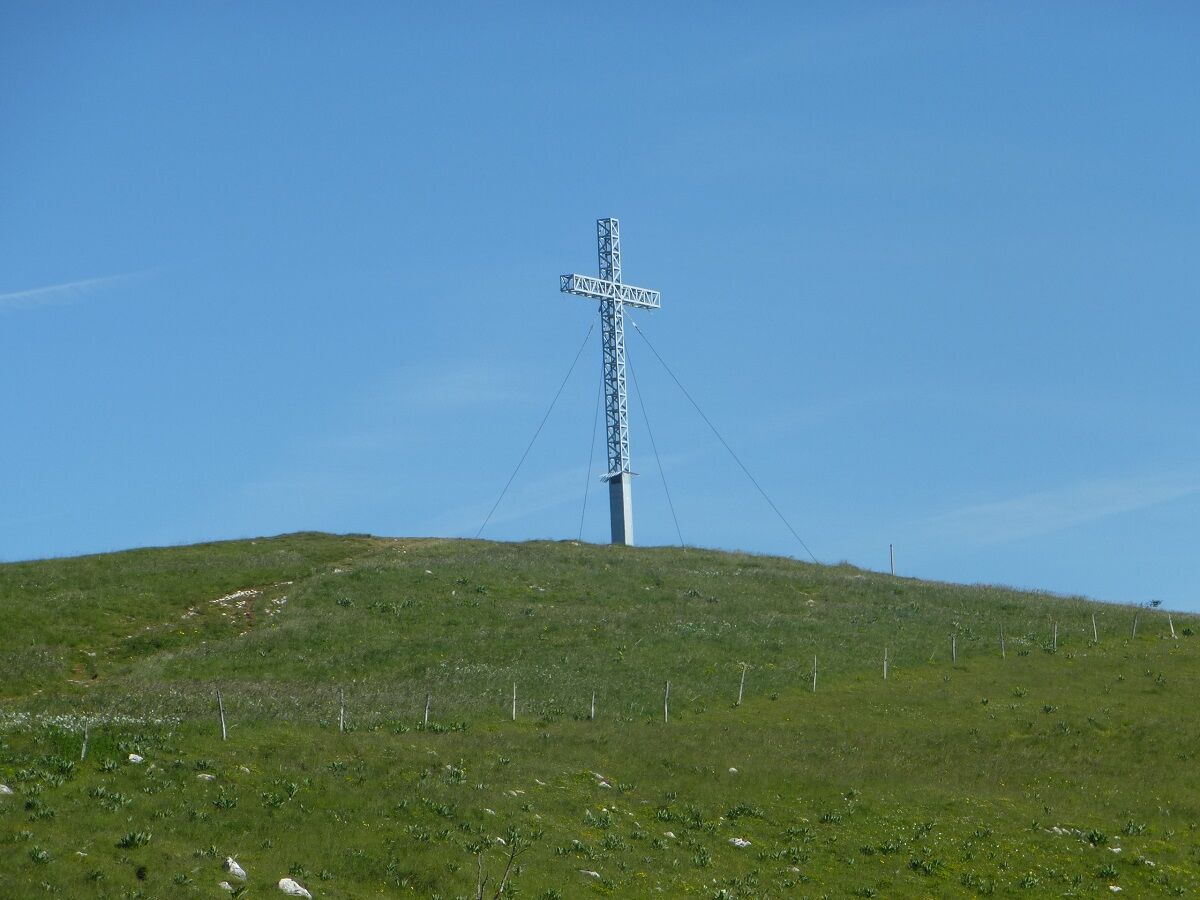
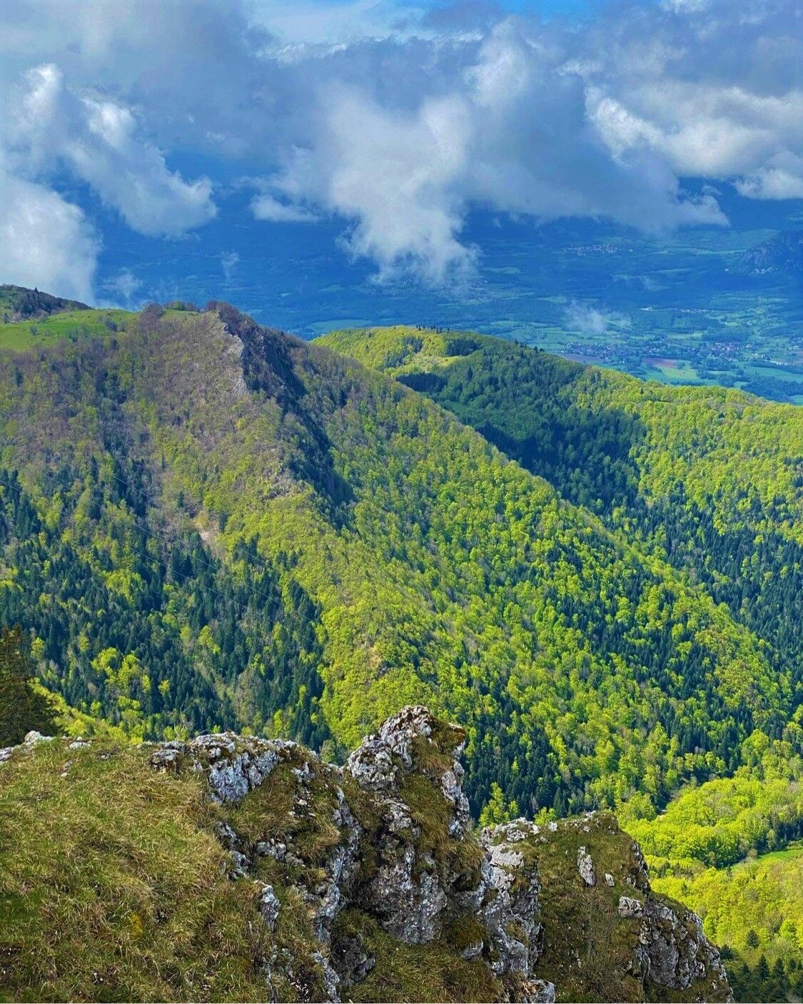
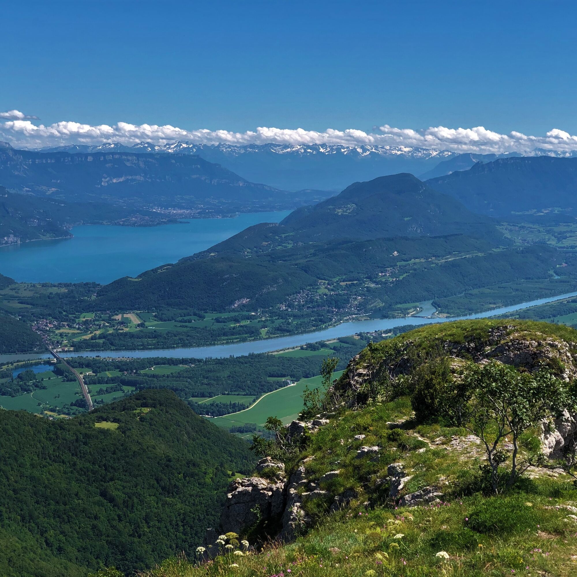
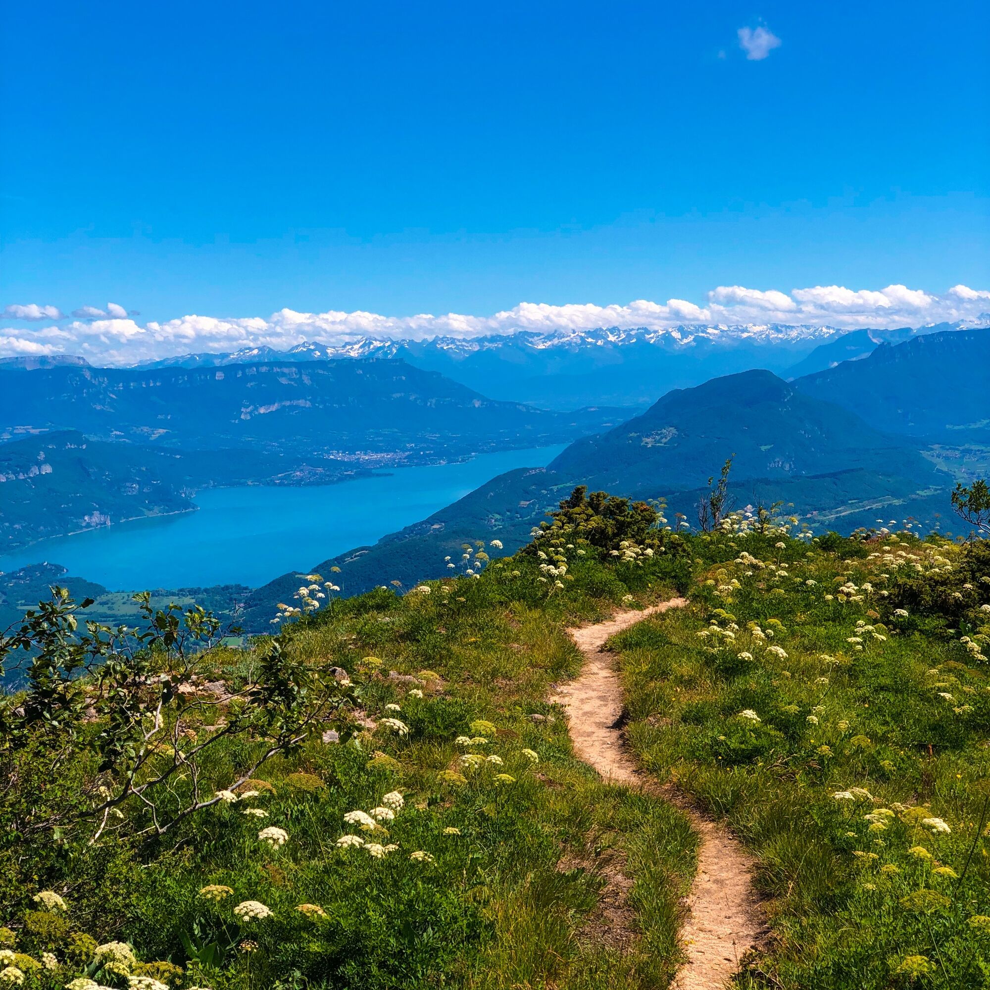
Route allowing you to enjoy the various 360° panoramas of the Grand Colombier massif.
The Pause du Grand Colombier can be a place to refresh yourself at the end of the hike.
This route is part of the "Ain Outdoor" selection.
Oblíbené prohlídky v okolí
-
4.0
Hike: Golet au loup
světloTuristika 7.11 km -
1.0
Hike of the Clairefontaine waterfall
světloTuristika 5.46 km -
Hike: Gorges de Thurignin
heavyTuristika 14.2 km -
Cycling tour : Marshes and vineyards in Bugey
světloSilniční kolo 33.1 km -
Hike: A wolf life.
světloTuristika 7.22 km -
3 day-hike in Jura: hiking trails through Plateau de Retord and Grand Colombier
heavyTuristika 50.9 km -
Hike : Lake and vineyards
světloTuristika 9.76 km -
Hike of the Grand Colombier starting from Munet
heavyTuristika 16.0 km -
Hike: mountain pastures of the Grand Colombier
středníTuristika 5.23 km -
Hike: on the steps of the WW2 French resistance.
heavyTuristika 17.8 km
Pěší turistika a stopování


Nenechte si ujít nabídky a inspiraci pro vaši příští dovolenou
Vaše e-mailová adresa byl přidán do poštovního seznamu.