







Hike : Lake and vineyards

Úroveň obtížnosti: T1
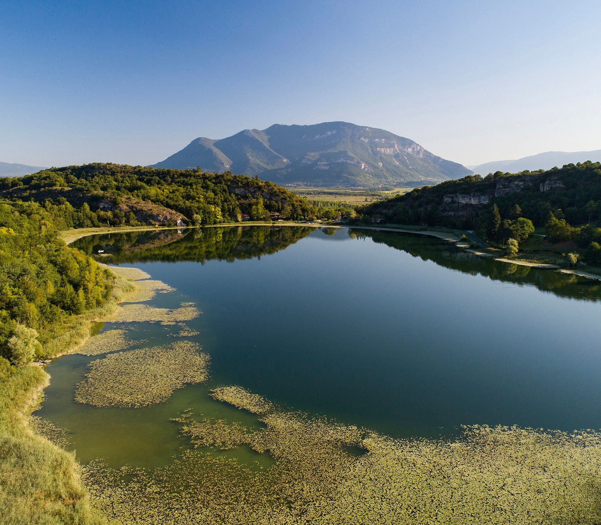
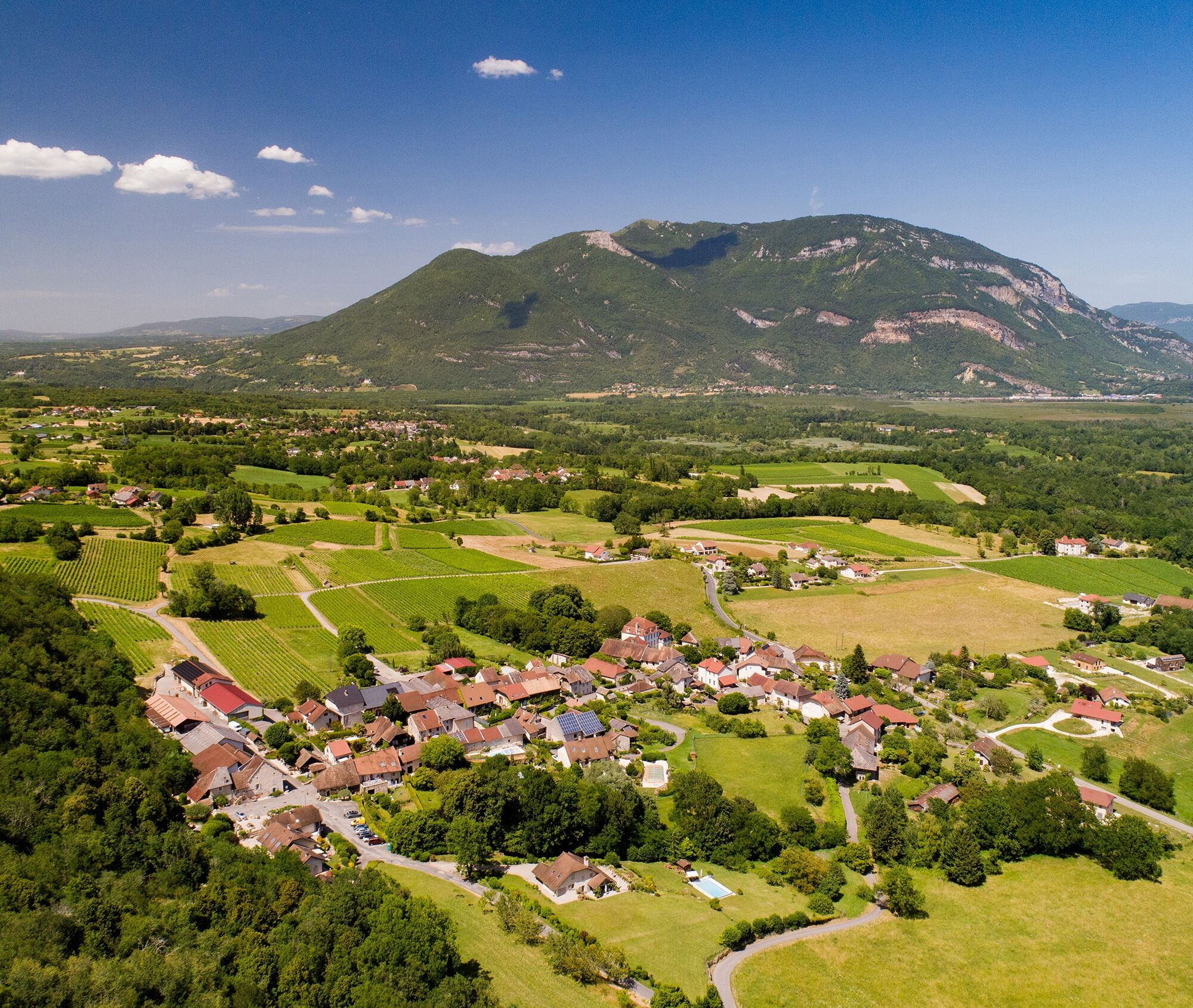
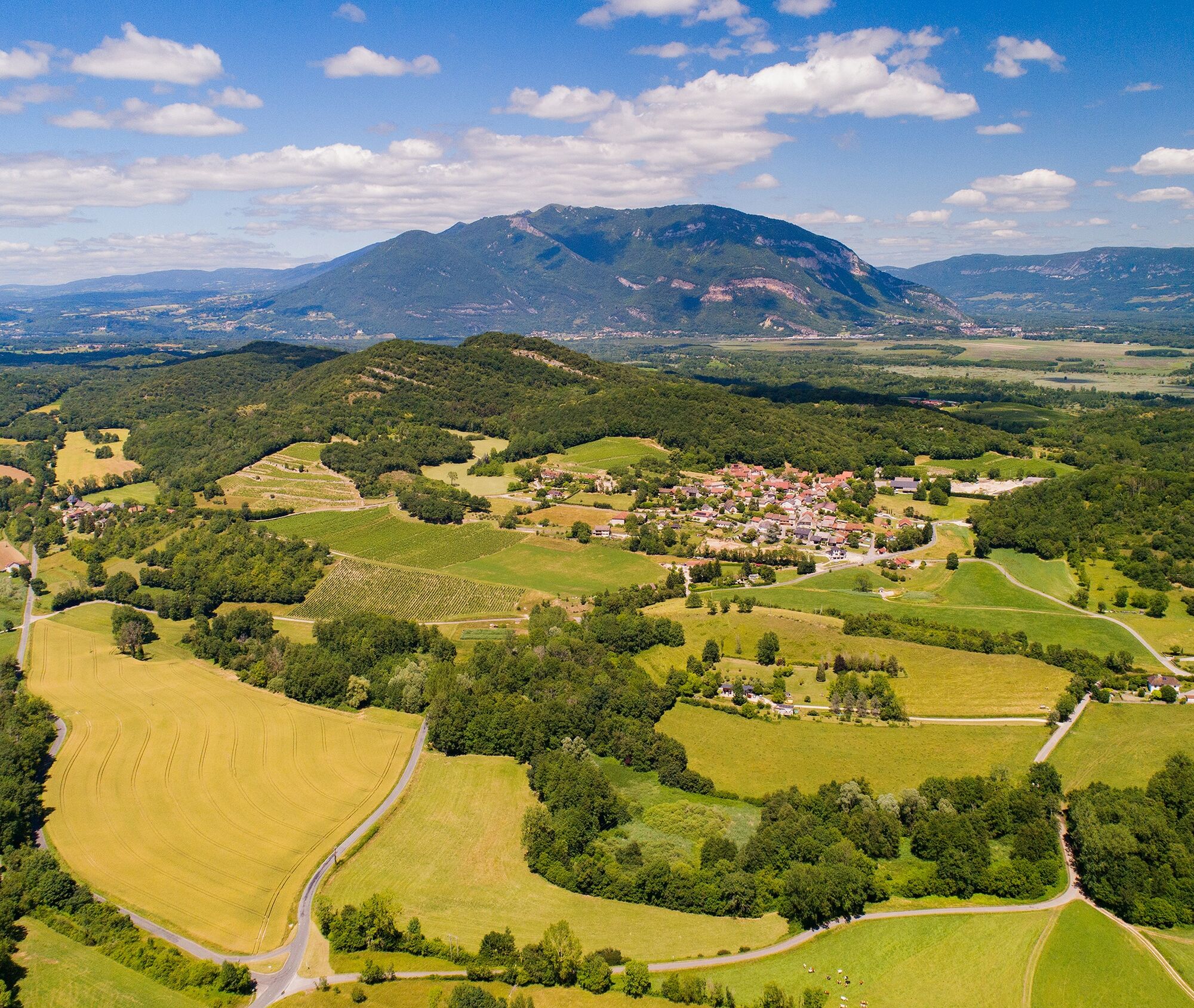
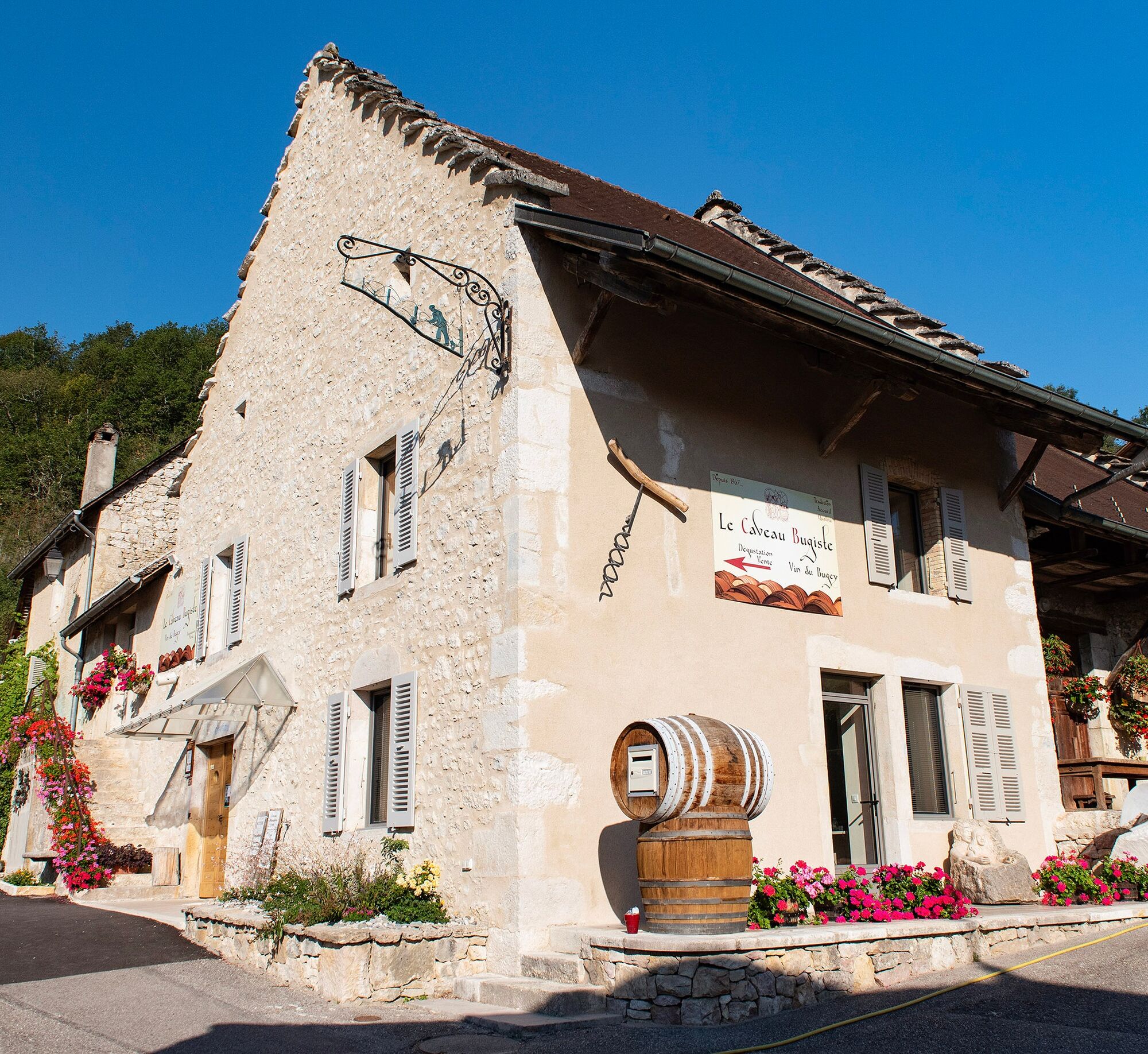
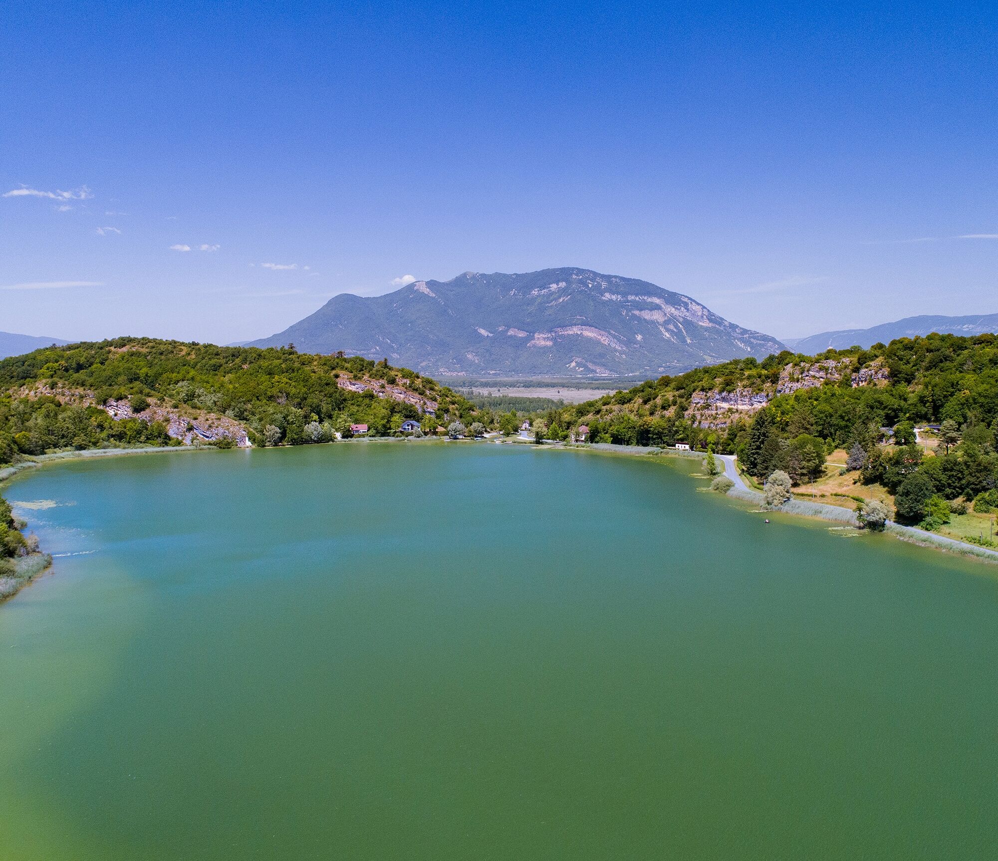
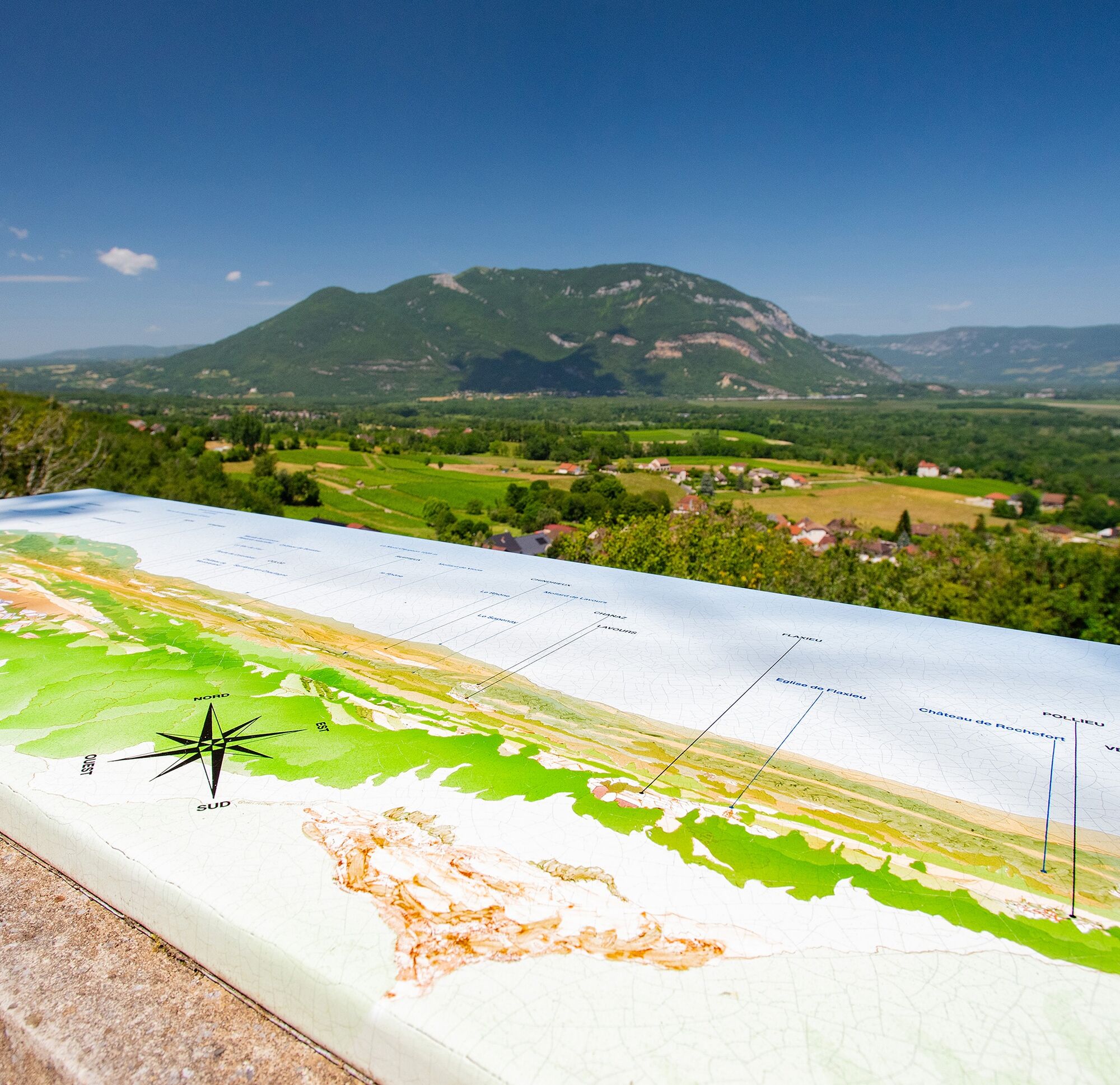
This family loop in the middle of the Bugey vineyards will take you from the sculpted rocks of Lake Barterand to the Cave Bugiste located in Vongnes, wine-growing village with traditional local architecture.
This...
This hike can be downloaded on the free app Ain Outdoor.


Follow the yellow markings along the route.
Ano
Ano
It is necessary to be equipped with good shoes and it is strongly recommended to take a bottle of water for this hike.
The hike does not involve any difficult passages.
Defective markings, incidents / safety, usage conflicts, illegal dumping? Locate and share the problem encountered on the national alert system via the SURICATE app or via the site https://sentinelles.sportsdenature.fr/
Access by car is via the D1504 then the D904 through Ambérieu-en-Bugey or Belley.
Lake Barterand is located in the commune of Pollieu.
Lake Barterand is not served by public transport.
It is possible to park north of Lake Barterand.
T1
APIDAE Tourism data updated on 24/10/2022 by "Office de Tourisme Bugey Sud Grand Colombier".
An error on this file? Write to the owner by recalling these references:
File name: Hiking route: Lake and vineyards | File ID: 5552336 | URL of this Outdooractive page.
Tourist Office Tips
Along the route, do not hesitate to make a small detour to Maison Angelot in Marignieu and to the Caveau Bugiste in Vongnes, renowned wine institutions of Bugey! The Caveau Bugiste located in the very unique small village of Vongnes also has two museums accessible for free.
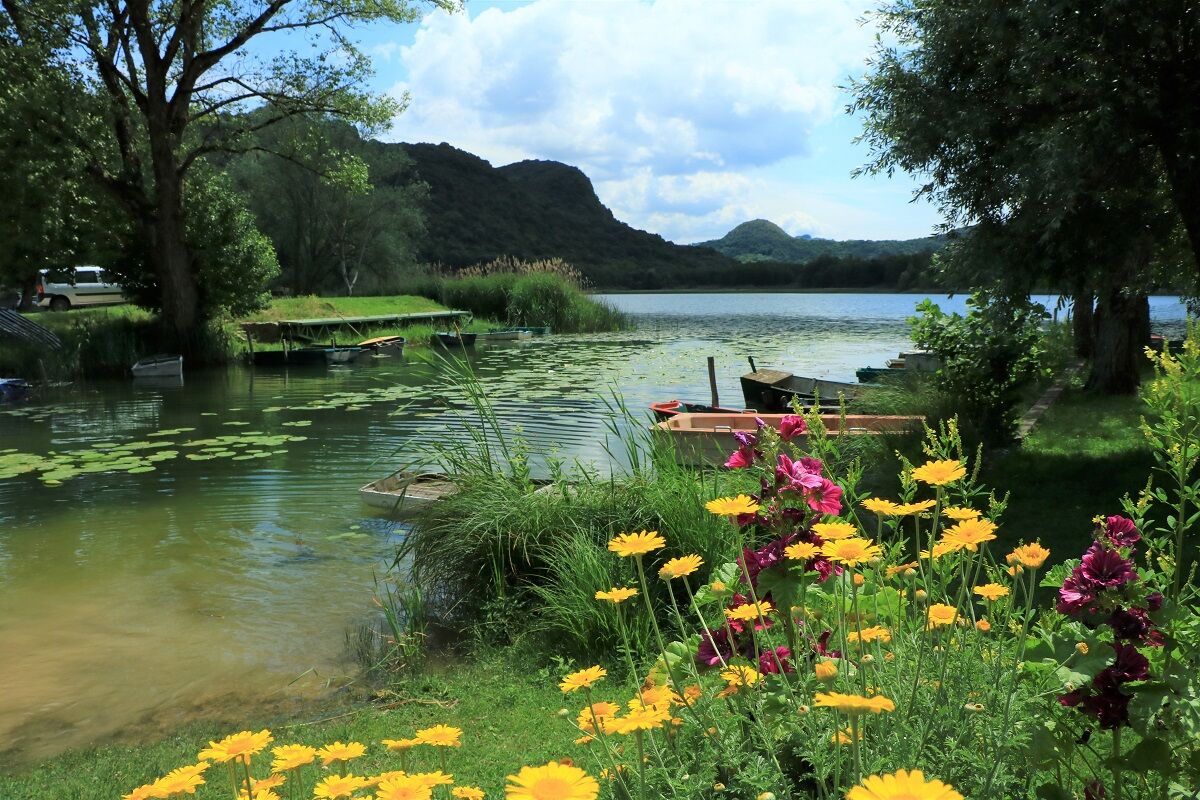
After the hike, you can swim in the Lake Barterand; the beach is paid and supervised in July and August.
For nearby dining, we highly recommend very good gastronomic addresses of Bugey less than 5 minutes from the starting point: La Ferme du Marais, L'Ecoinçon, La Table du Roi, and L'Auberge de la Paillère.
This itinerary is part of the "Ain Outdoor" selection.
Oblíbené prohlídky v okolí
-
3.0
Hike: on the ridge of the Grand Colombier (circuit des crêtes)
středníTuristika 11.3 km -
1.0
Hike of the Clairefontaine waterfall
světloTuristika 5.46 km -
5.0
Hike: Barterand lake
světloTuristika 7.23 km -
Hike: A wolf life.
světloTuristika 7.22 km -
Cycling tour : Marshes and vineyards in Bugey
světloSilniční kolo 33.1 km -
Hike : Armaille Lake
světloTuristika 9.42 km -
Hike starting from Parves-et-Nattages: le circuit du Sorbier
světloTuristika 11.4 km -
Hike: mountain pastures of the Grand Colombier
středníTuristika 5.23 km -
Hike of the Grand Colombier starting from Munet
heavyTuristika 16.0 km -
MTB track 1 green - Rothonne forest: Le Renard - Espace FFC Ain Forestière
světloMountainbike 4.93 km
Pěší turistika a stopování


Nenechte si ujít nabídky a inspiraci pro vaši příští dovolenou
Vaše e-mailová adresa byl přidán do poštovního seznamu.





