


Richinen Gassen path
Úroveň obtížnosti: 1
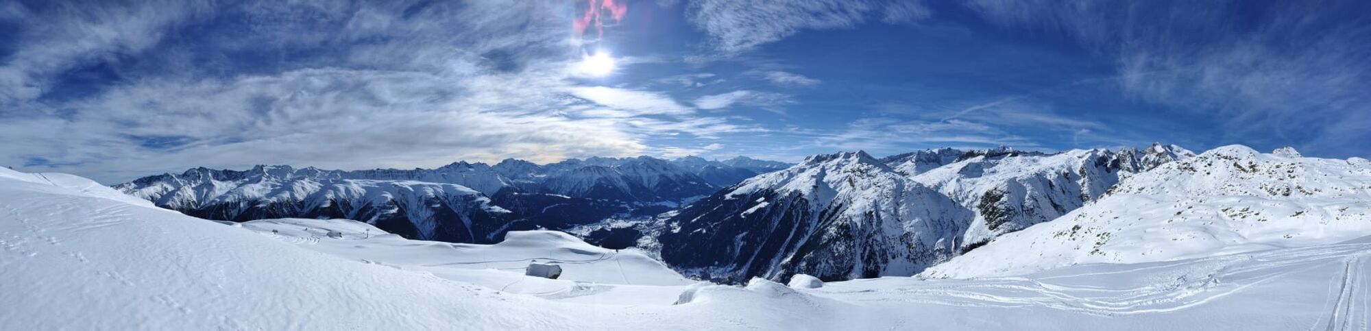
This winter hike starts off spectacularly. The ride by chairlift from Bellwald to Richinen offers an extremely promising view. Once at the top, you should take a moment to linger on the sun terrace of...
This winter hike starts off spectacularly. The ride by chairlift from Bellwald to Richinen offers an extremely promising view. Once at the top, you should take a moment to linger on the sun terrace of the panoramic restaurant “Hasestall.” The view of the peaks of the Binntal landscape park as well as the Rhone Valley is enchanting. But that’s not all. As you leisurely walk downhill towards the hamlet of Gassen in Bellwald, you will repeatedly pause to enjoy the view. Whether it’s the one towards the west to the Fieschertal or north to the majestic mountain peaks of the UNESCO World Heritage Swiss Alps Jungfrau-Aletsch. Along the way, you enter an idyllic larch forest. There, take a deep breath and clear your head.

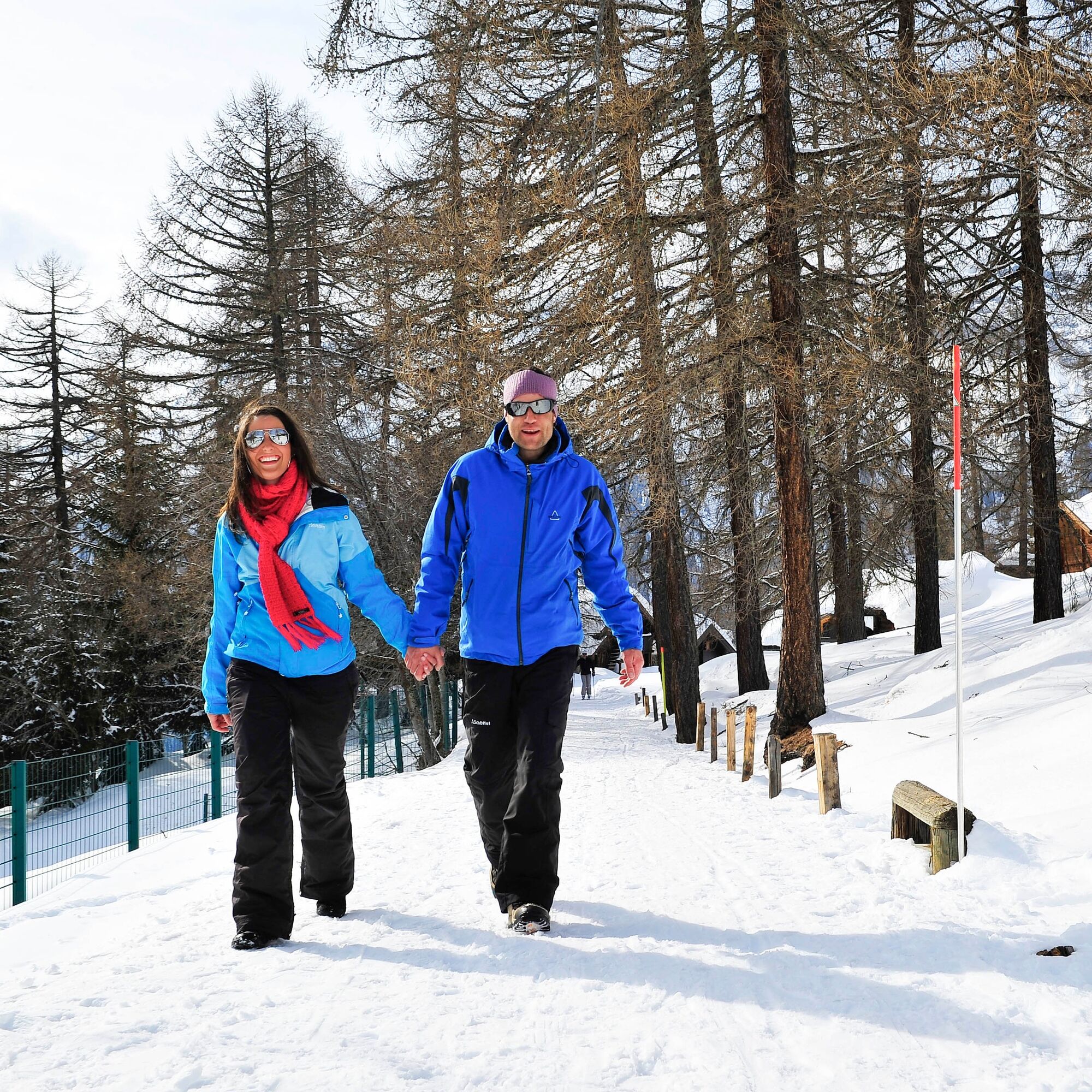
The starting point of this easy winter hike is the mountain station of the Richinen chairlift. Afterwards, the path mostly leads on the west side of the railway facility through open landscapes and forests back to Bellwald. Those who prefer something a bit more sporty can complete the route in the opposite direction.
Ano
We recommend:
Good footwear Weather-dependent (waterproof) and warm clothing Headwear Sunscreen Provisions Camera Hiking poles (optional) Printout of the hiking trail (click “Print” to download)Use of the winter hiking trails and information on this website is at your own risk. Conditions on site may cause changes to the route. Valais/Wallis Promotion assumes no responsibility for the accuracy and completeness of the information on this website.
Carry a map with you. Download the complete description of the hiking trail with a large-scale map by clicking “Print” at the top right of the page. Use only marked hiking trails and observe all signposts and instructions - for your own safety, for the protection of grazing animals, and out of respect for wildlife. Behave considerately towards other trail users and the landscape. Take your waste and that of others with you. Carry additional sun protection. UV rays at high altitudes can be very strong, especially in winter, even in cloudy weather. Plan your hike carefully: take into account the required fitness level of all participants, weather forecasts, and seasonal dependencies. The weather conditions in the mountains can change very quickly and without warning. Appropriate clothing and sufficient provisions (food and drink) are very important. In unstable weather, it is best to turn back early. Do not go onto glaciers without a mountain guide. Observe warning signs indicating dangers, especially avalanche risk.Inform third parties about the route and, if possible, never go alone
Highway A9 towards Brig. Continue towards Goms until the Bellwald junction.
Accessible by train and bus. From Brig station with the Matterhorn Gotthard Railway to Fürgangen Bellwald
Free parking at the Basper mountain station.
1
More information about the destination:
Make a stop at Mutti, the westernmost point of the trail, and relax in the sun while admiring the landscape. It is also worth strolling through Bellwald. The highest village in Goms has a well-preserved, car-free village center with typical, sun-bleached Valais wooden houses, barns, and narrow alleys.
Oblíbené prohlídky v okolí
-
4.0
Panoramaweg über den Aletschgletscher
středníTuristika 17.7 km -
5.0
9 lake-trail
heavyTuristika 17.3 km -
UNESCO Höhenweg
Turistika 3.70 km -
5.0
Aletsch Sightseeing
středníZimní turistika 15.5 km -
4.0
Eggishorn via ferrata
středníVia ferrata 1.39 km -
Cultural route in Münster
světloTematická stezka 0.54 km -
Blinnenhorn route
heavyTuristika 106.6 km -
Binntal, Twingischlucht- Binn nach Ernen
středníTuristika 10.6 km -
Villa Cassel - Hohfluh - Blausee - Moosfluh - Moränenweg - Villa Cassel
středníTuristika 8.49 km -
Goms Villages Bike Route
světloJízda na kole 39.5 km

Pěší turistika a stopování


Nenechte si ujít nabídky a inspiraci pro vaši příští dovolenou
Vaše e-mailová adresa byl přidán do poštovního seznamu.