







Cultural route in Münster

The village of Münster was first mentioned around 1221 under the name Musterium. The later usual name Monasterium refers to a monastery. The village was also called "Comes" or "Conches," both meaning valley...
The village of Münster was first mentioned around 1221 under the name Musterium. The later usual name Monasterium refers to a monastery. The village was also called "Comes" or "Conches," both meaning valley basin. Münster is located on the western flank of a large debris fan and also at the exit of the Münstiger Valley.
In front of the office of Obergoms Tourismus AG in Münster stands a red information pillar. It serves as the starting point for the cultural route. In a compartment, free brochures for the self-guided village tour are available. They contain historical backgrounds and information about the respective buildings and constructions along the route.
The cultural routes Münster + Geschinen were initiated by the association Kulturlandschaft Münster-Geschinen. Since its founding in 2006, it has been committed to the rich cultural heritage of the Obergoms villages Münster and Geschinen. The association relies on numerous locals as well as many guests of our region. More than 100 members support the activities of the association.

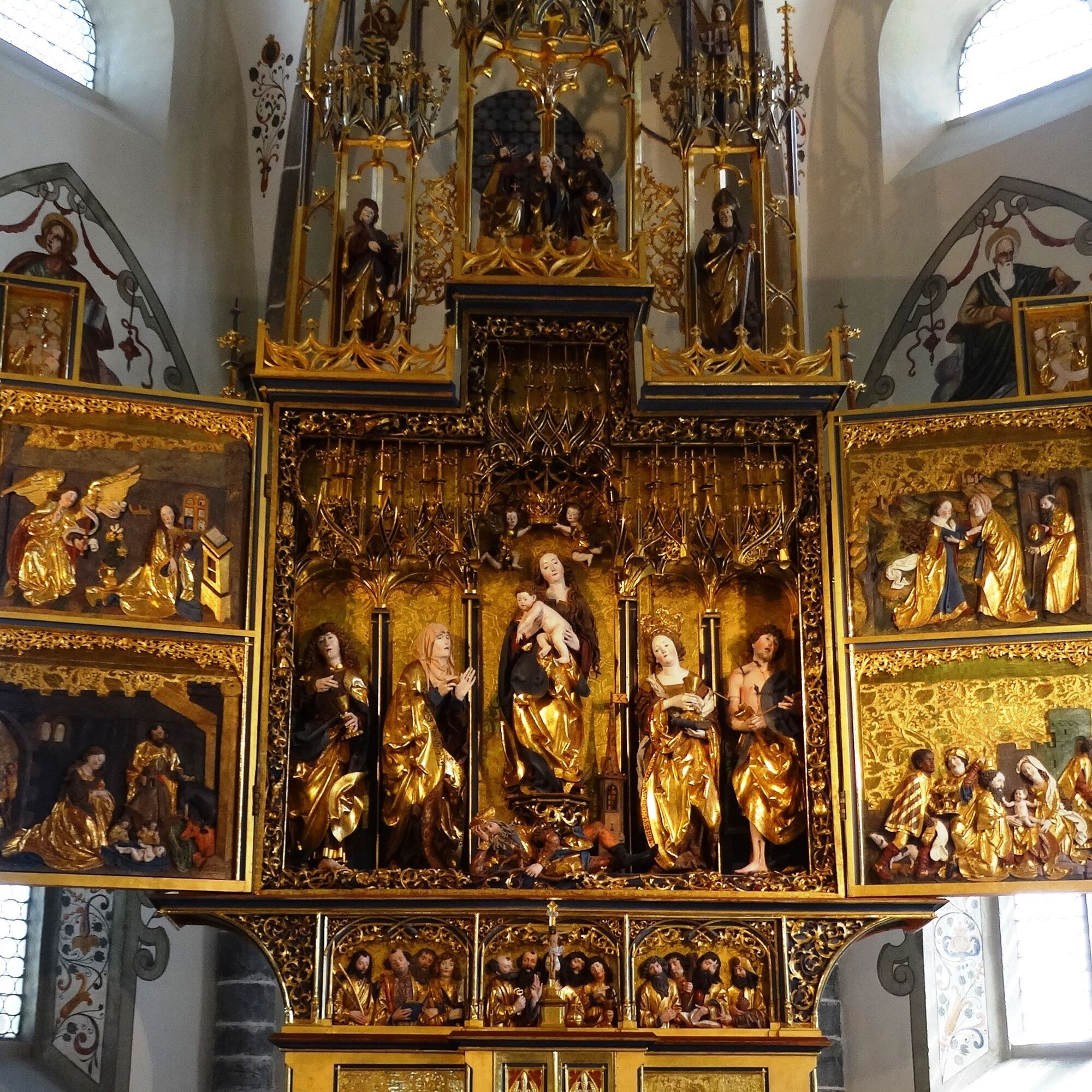

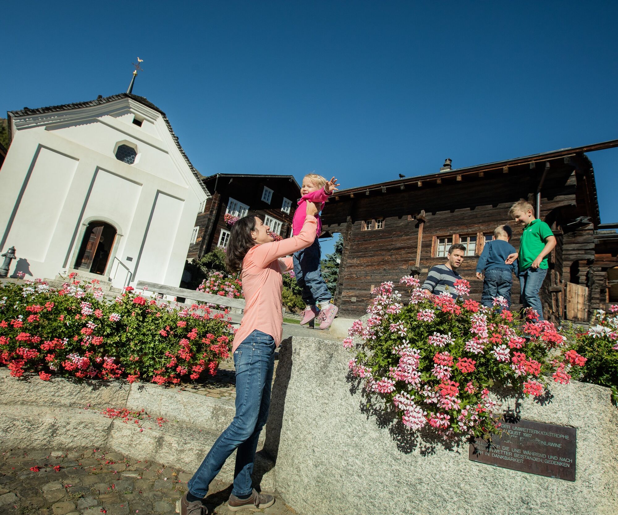
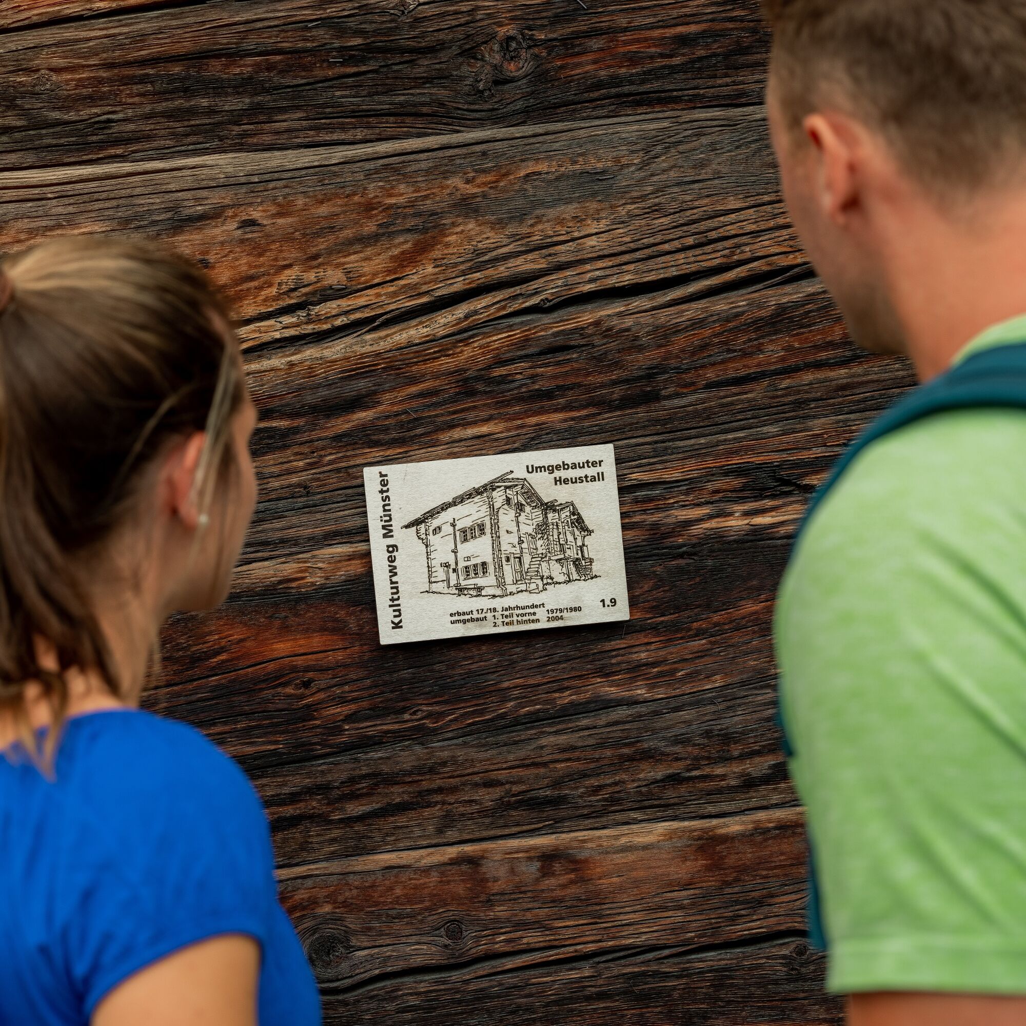
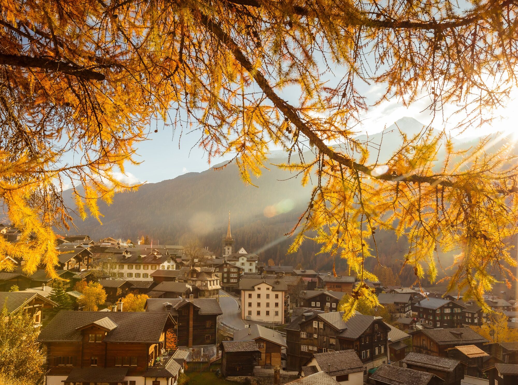
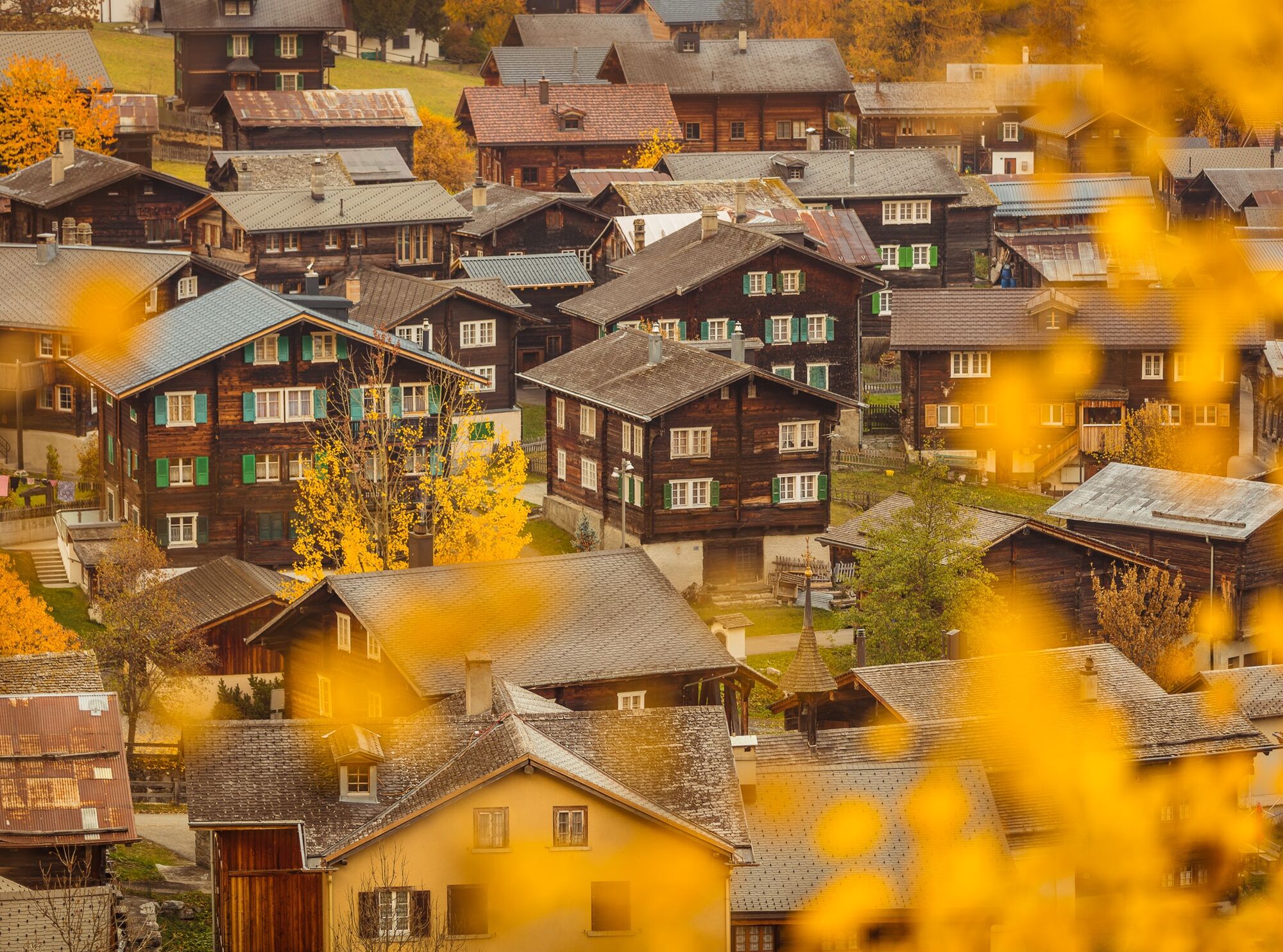
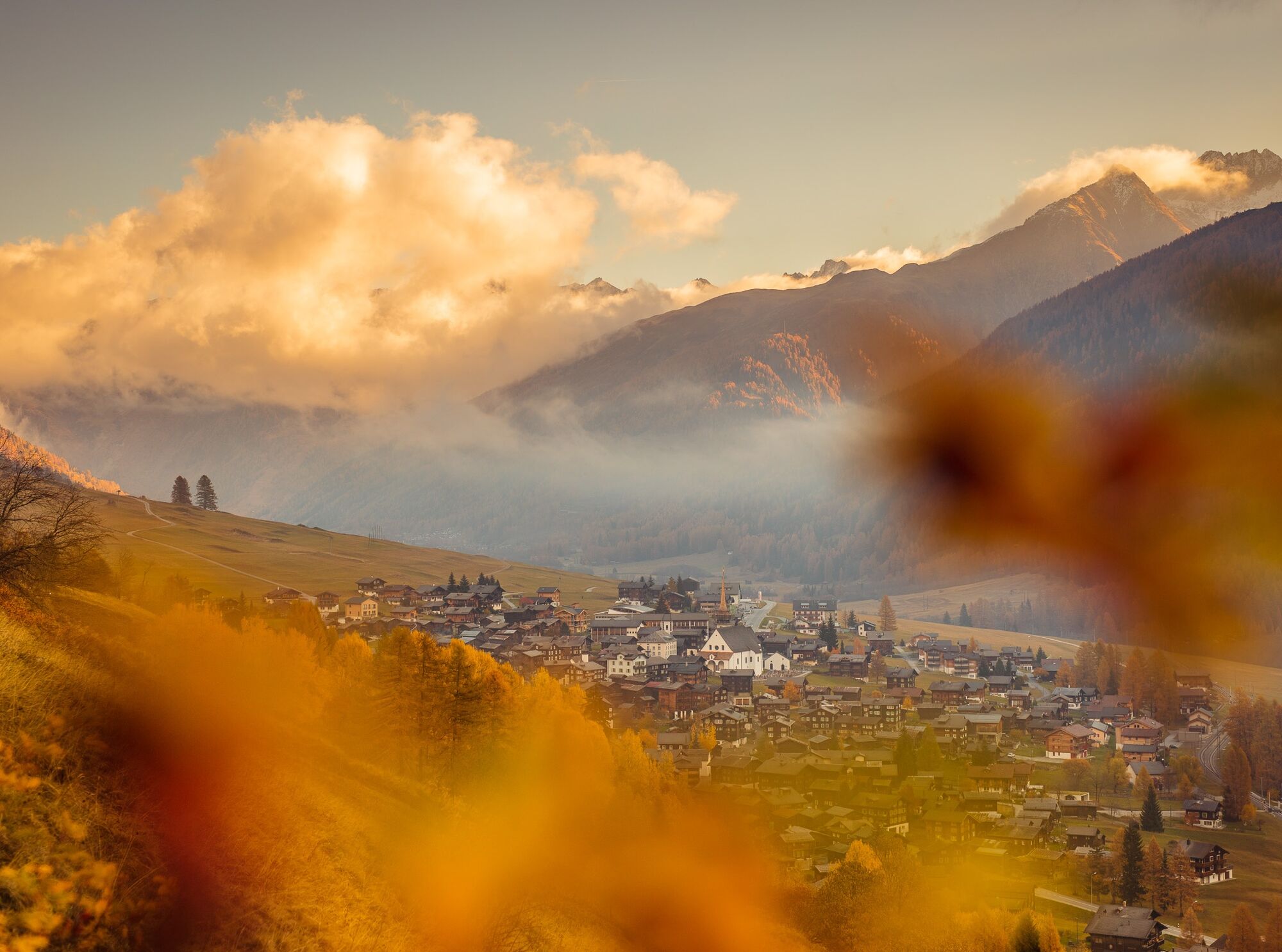
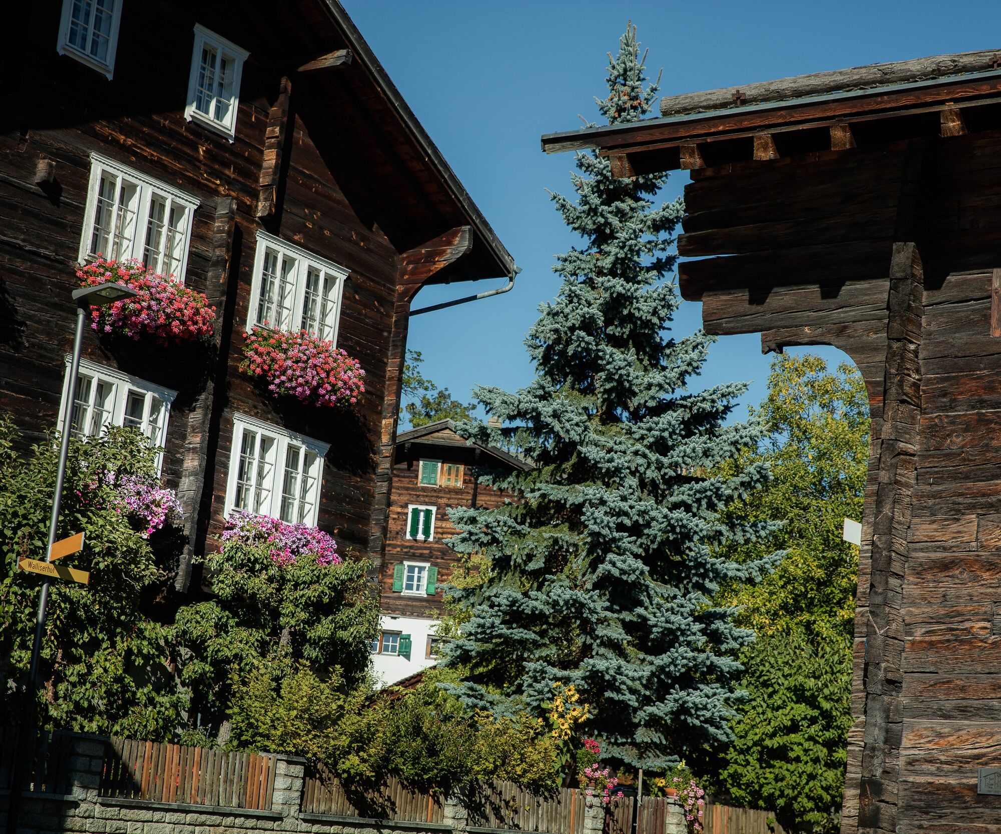

In front of the office of Obergoms Tourismus AG stands a red information pillar. It serves as the starting point for the cultural route.
Schützenhaus (1.1) - Speicher (1.2) - Heidenhaus (1.3) - Römerhaus (1.4) - St. Margarethen Chapel (1.5) - Residential house and butcher's shop (1.6) - Barn (1.7) - Converted hay barn (1.9) - Bakehouse (2.1) - Residence Domherr Guntern (2.2) - Stable (2.3)
Ano
Ano
We recommend:
Waterproof footwear and hiking poles Headwear as well as warm and protective outdoor clothing Sun protection Detailed map or informational materialUse of the themed paths is at your own risk. Obergoms Tourismus AG denies all liability and assumes no responsibility for the accuracy and completeness of the information on this website.
Conditions on site may cause changes to the route. Carry a map with you or download the complete description of the themed path with a large-scale map.
Carry additional sun protection. UV rays at high altitudes can be particularly strong in winter, even under cloudy skies.
From Brig, follow the cantonal road no. 19 (Furka road) for about 33 km to Münster. The Goms is also well connected from the Zürich / Lucerne region via Andermatt -
Furka car shuttle.
The alpine passes Furka, Grimsel, and Nufenen are closed in winter.
With the regional trains of the Matterhorn Gotthard Railway, you can reach Münster from Brig in 1 hour and 9 minutes. The Goms region is also easily accessible from the Zürich / Lucerne region via Andermatt - Furka Base Tunnel.
The timetables for trains and buses are available at www.sbb.ch.
Public parking spaces are available in the area around the train station or in the village of Münster. Please follow the local parking guidance system for this purpose.
We recommend a short detour to the parish church Münster.

Oblíbené prohlídky v okolí
- 5.0
Circular hike from Grimsel Pass - Sidelhorn via Jostsee
středníTuristika 8.47 km - 5.0
9 lake-trail
heavyTuristika 17.3 km - 5.0
Gelmersee-Tour
světloTuristika 9.03 km - 4.5
Panoramaweg über den Aletschgletscher
středníTuristika 17.7 km UNESCO Höhenweg
Turistika 3.70 kmFurka Pass – Rhone Glacier
světloTuristika 3.59 km- 4.8
Ciaspolata al Rifugio Maria Luisa
středníSněžnice 11.2 km - 4.0
Eggishorn via ferrata
středníVia ferrata 1.39 km - 3.5
Circular hike Furka Pass-Tällistock
středníTuristika 11.0 km - 5.0
Aletsch Sightseeing
středníZimní turistika 15.5 km
Pěší turistika a stopování


Nenechte si ujít nabídky a inspiraci pro vaši příští dovolenou
Vaše e-mailová adresa byl přidán do poštovního seznamu.





