


4 Lakes Route Lötschental
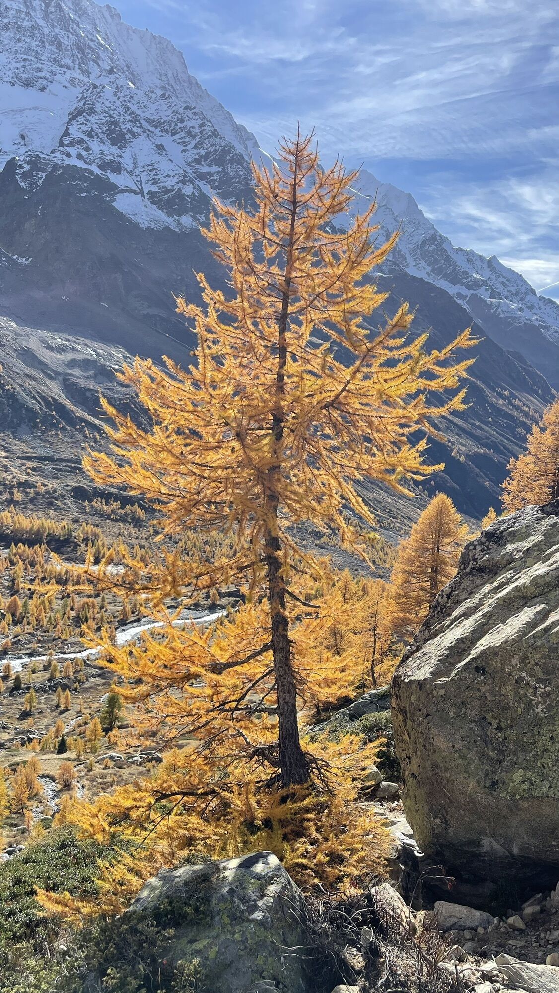
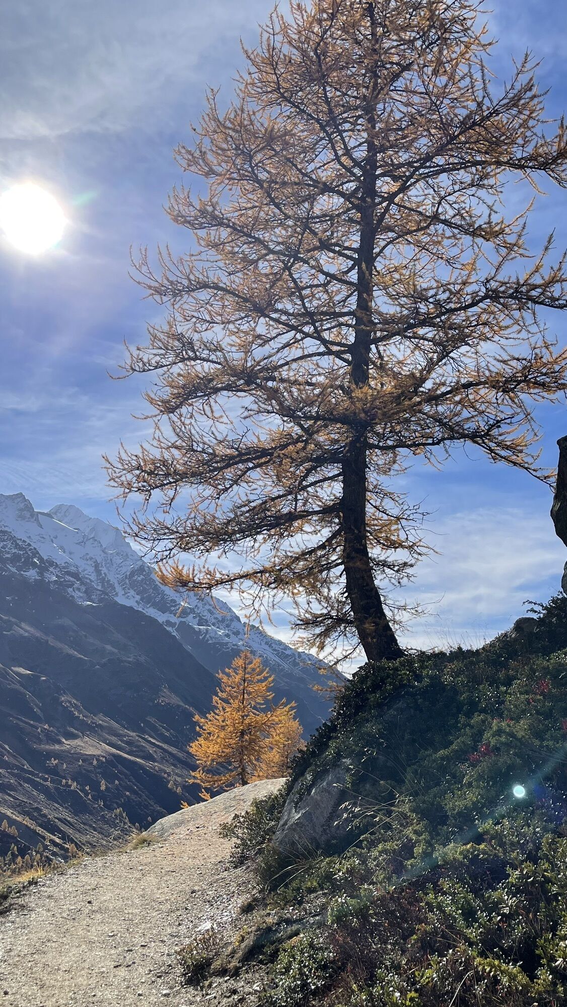
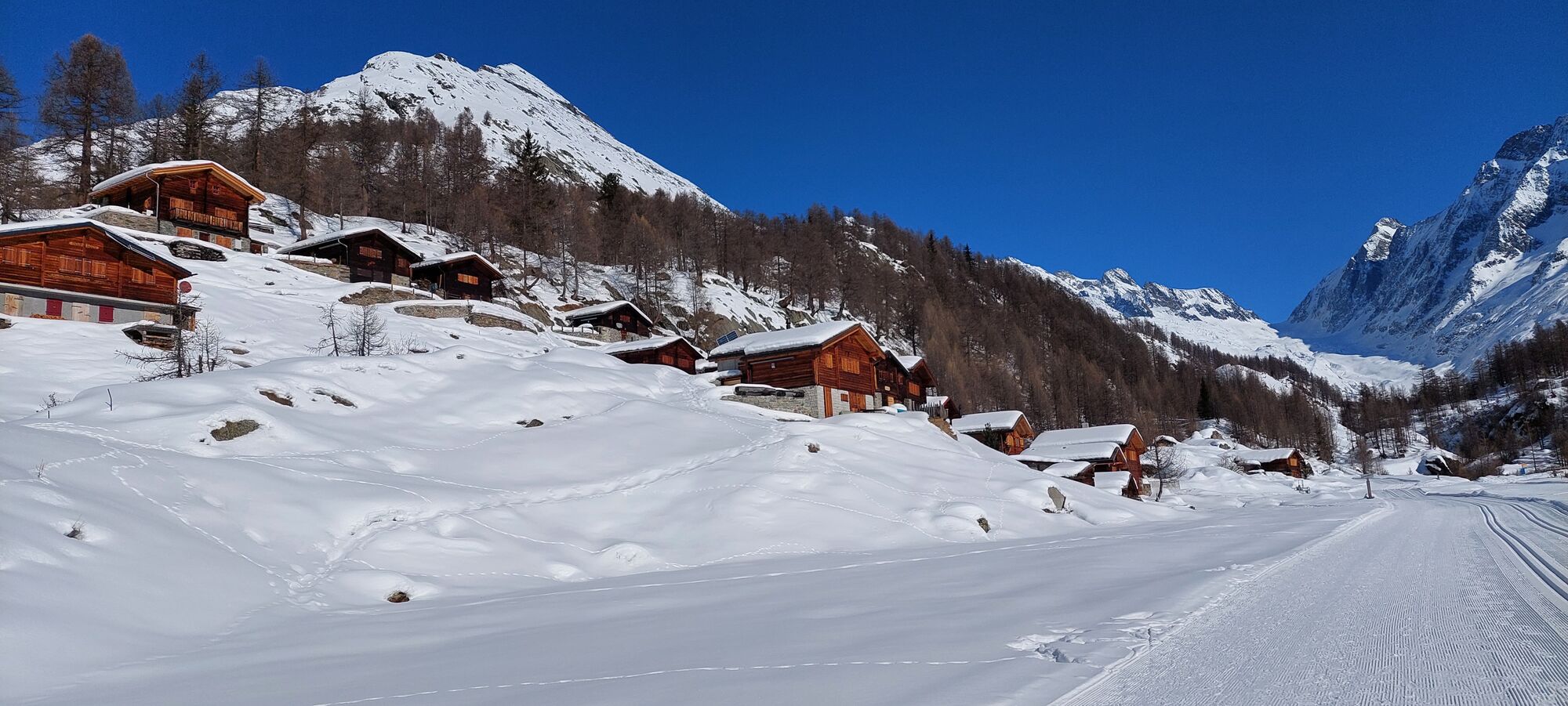
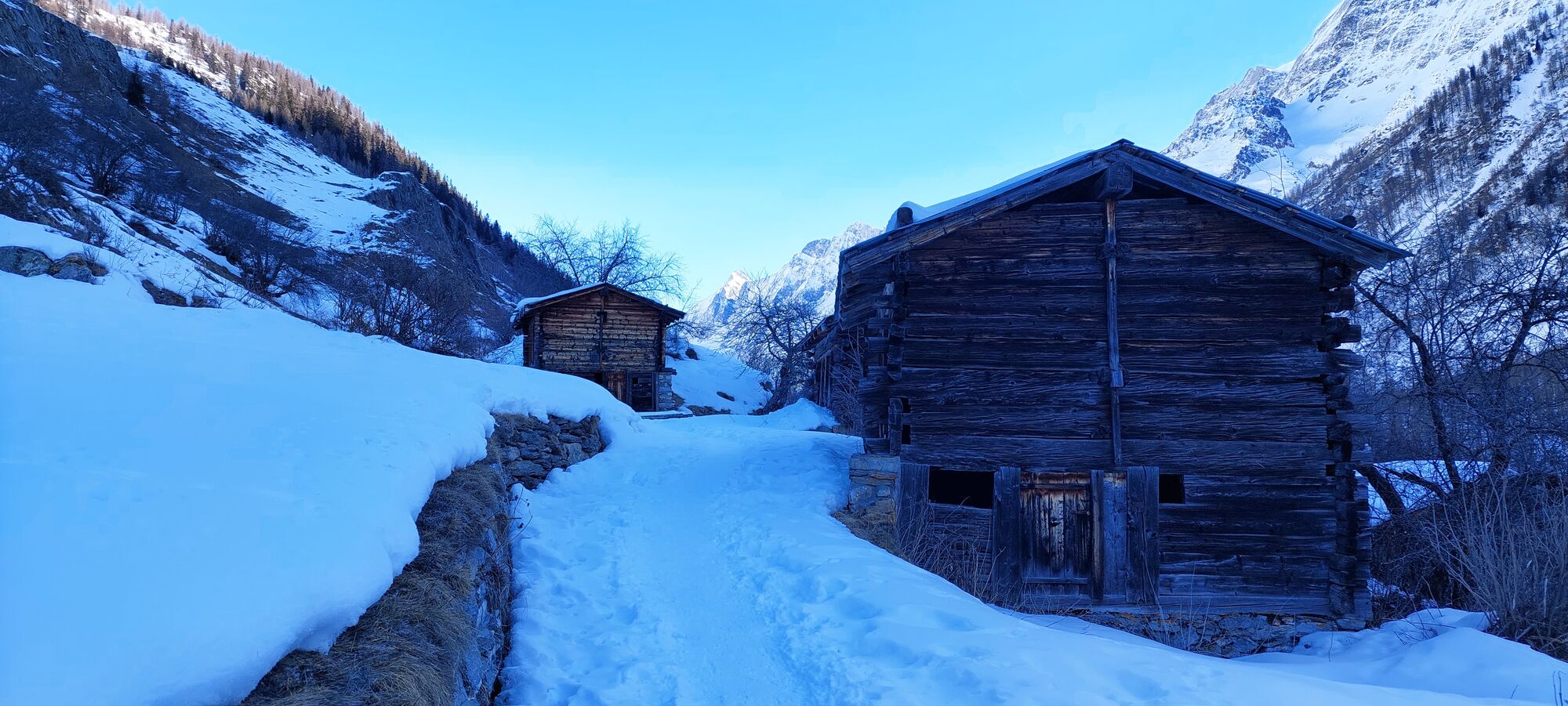
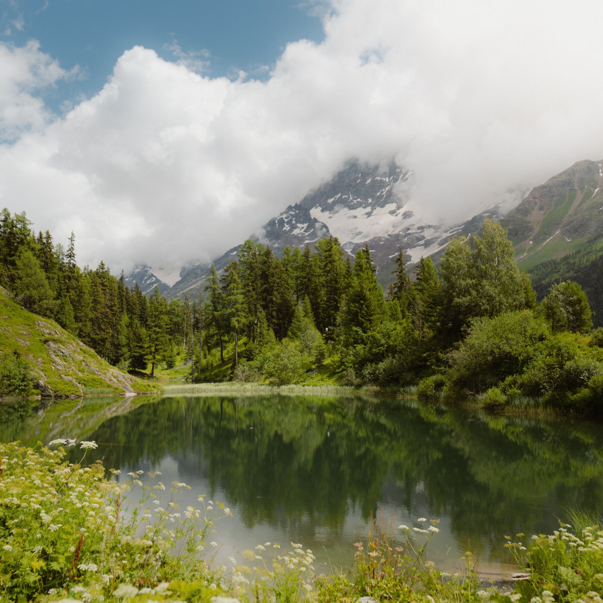
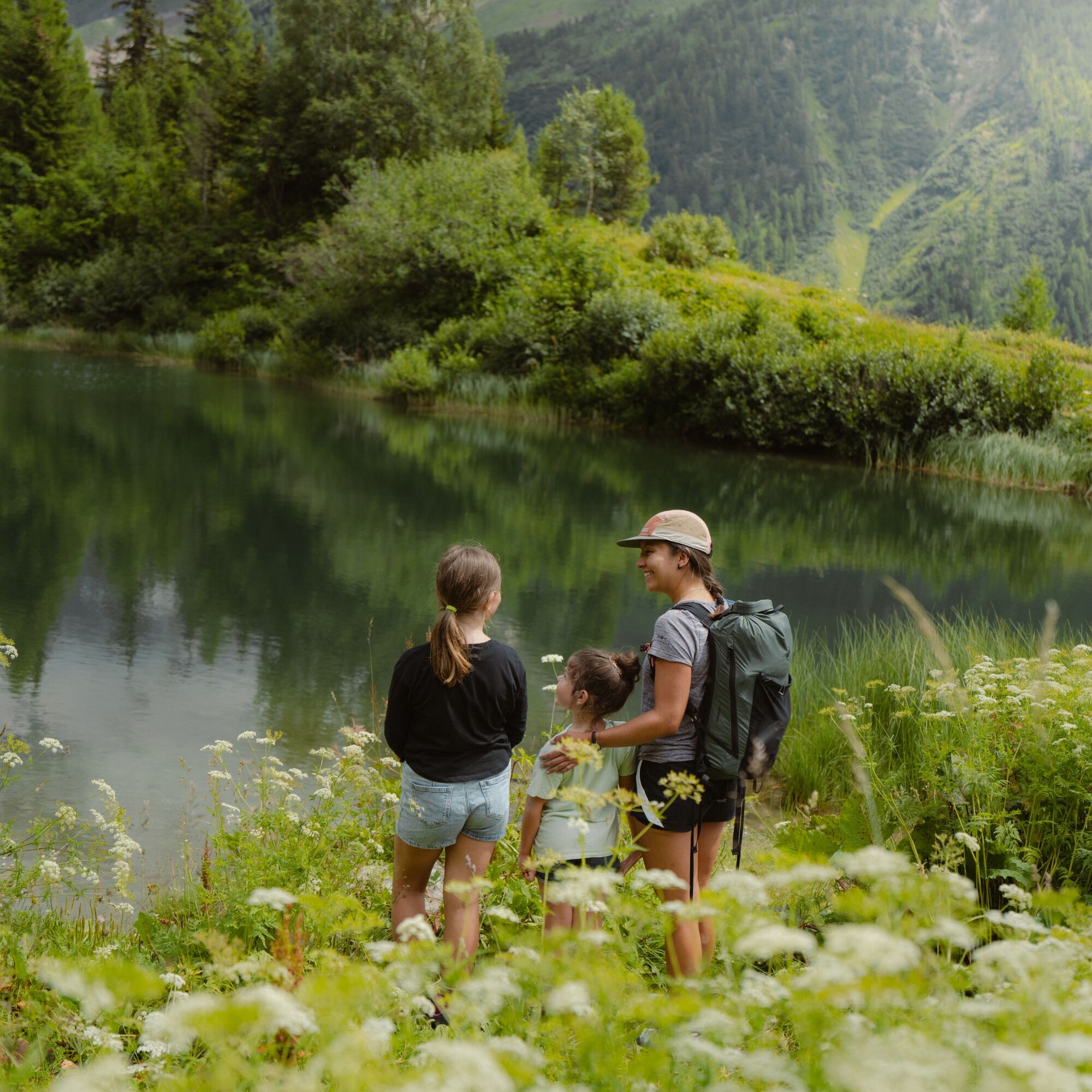
The 4 Lakes route in the Lötschental combines all the beauties that make the magical valley so special. Wild nature as far as the eye can see.
Past grazing cows, sheep and goats, and if you're lucky, you...
The 4 Lakes route in the Lötschental combines all the beauties that make the magical valley so special. Wild nature as far as the eye can see.
Past grazing cows, sheep and goats, and if you're lucky, you might even spot some alpine animals like chamois, ibex and marmots.
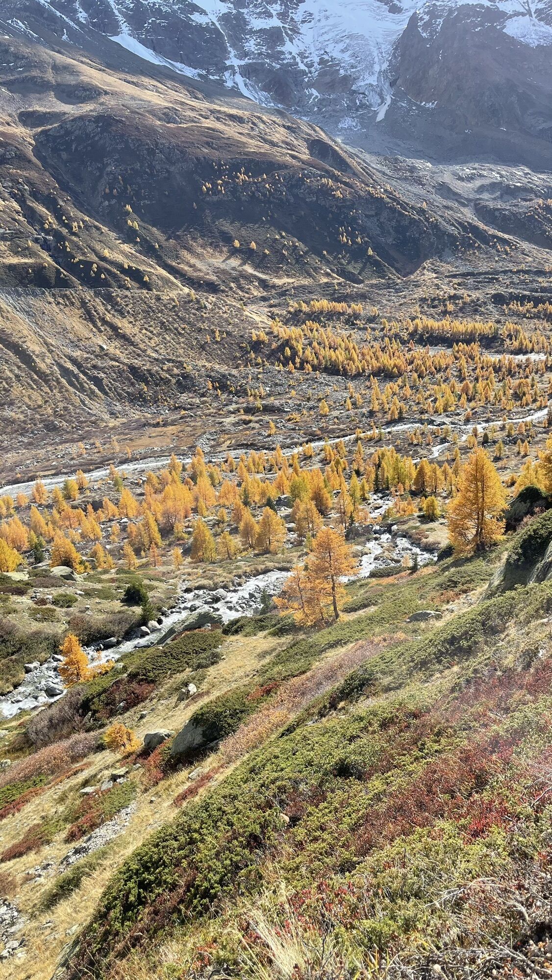
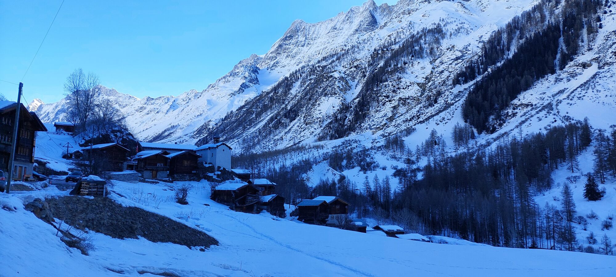
The path begins moderately towards Grundsee at 1850m, then ascends slightly to Guggisee at 2000m. Over the Guggistafel the path leads back towards Fafleralp and Faflersee at 1800m, from there the route gently climbs to Schwarzsee at 1860m.
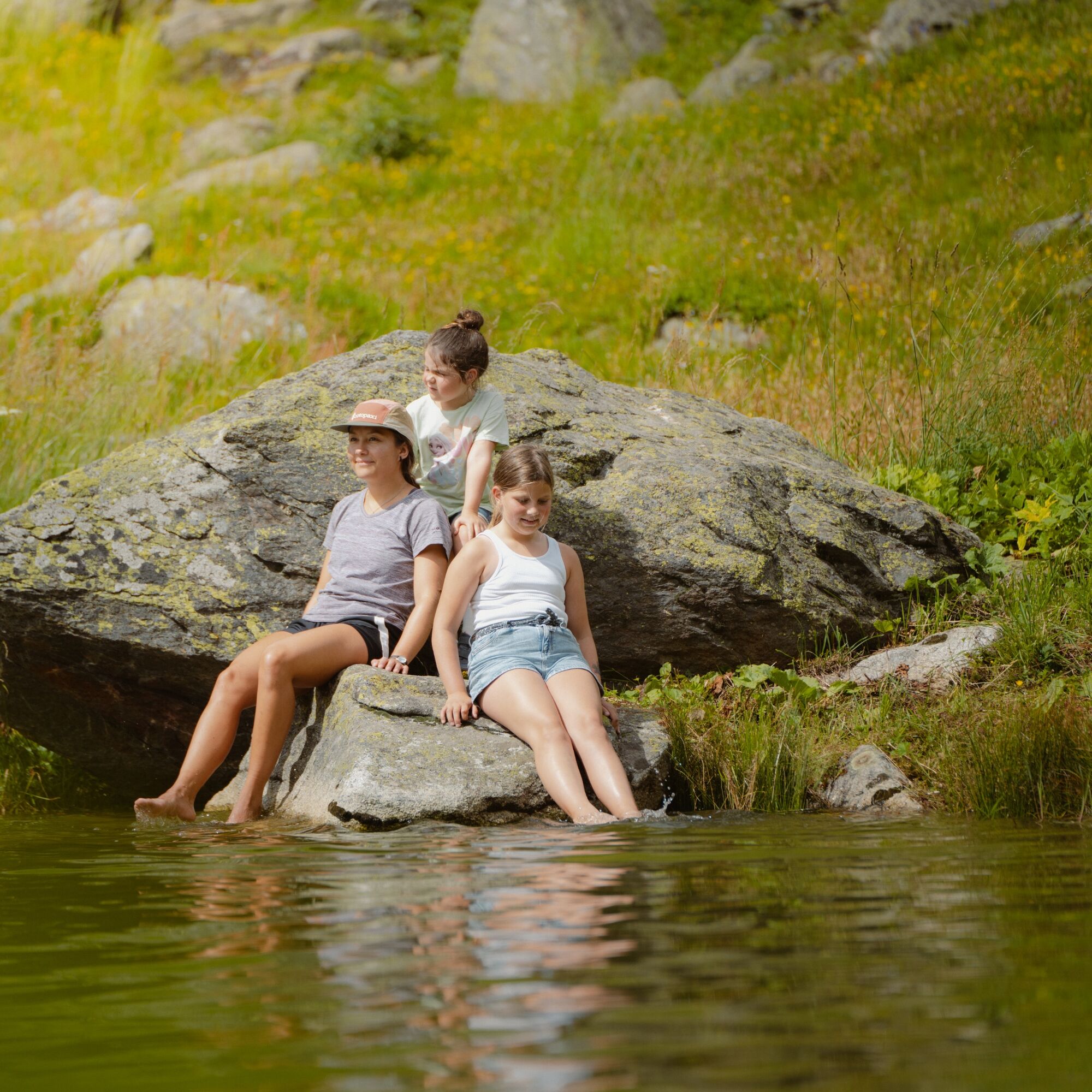
Here you can jump into the clear cool water or just admire and relax by the lake shore with the surrounding mountains, then continue downhill via Eisten to Blatten.

Starting point Fafleralp parking lot/post bus stop
Pass the glacier information board on the right towards Grundsee
From Grundsee back, turn right before the glacier information board onto the path and follow it towards Guggisee
From Guggisee via Guggistafel to Fafleralp / Faflersee
From Faflersee follow the path towards Schwarzsee
From Schwarzsee path down to Eisten/Blatten until the post bus stop in Blatten
Ano
Attention: This route has no own signposts!
Check the route guidance via our website or app and follow the signposts of the individual lakes :)
Plan your route carefully and take suitable equipment with you.
By car to the Fafleralp parking lot, or Blatten (paid parking at the post bus stop or at Hotel Edelweiss)
By train to Goppenstein, from there by post bus to Fafleralp (Post bus operates to Fafleralp 06/08–10/20/2019, before and after that to Blatten, shuttle/call bus available between Blatten and Fafleralp, more information at www.loetschental.ch). Return trip from Blatten post bus stop.
Large parking lot at Fafleralp (paid)
2 smaller parking lots in Blatten (paid)
www.loetschental.ch
Webové kamery z prohlídky
Bergstation Luftseilbahn Wiler-Lauchernalp
Bergstation Luftseilbahn Wiler-Lauchernalp
Bergstation Luftseilbahn Wiler-Lauchernalp
Bergstation Luftseilbahn Wiler-Lauchernalp
Bergstation Luftseilbahn Wiler-Lauchernalp
Bergstation Luftseilbahn Wiler-Lauchernalp
Bergstation Luftseilbahn Wiler-Lauchernalp
Wiler Lötschental
Oblíbené prohlídky v okolí
- 4,9
Kandersteg - Oeschinensee - Blüemlisalphütte
heavyTuristika 11,8 km - 4,0
Rundwanderung Lötschenpasshütte
středníTuristika 12,2 km - 5,0
Lauchernalp-Lötschenpass-Selden
heavyTuristika 12,0 km - 4,7
Lötschentaler Höhenweg
světloTuristika 9,17 km - 5,0
BELALP - SPARRHORN
heavyTuristika 11,2 km - 4,5
Oeschinensee
světloTuristika 15,2 km - 5,0
Rundwanderung Anenhütte
středníTuristika 10,2 km - 4,7
Northface Trail
Turistika 5,38 km - 5,0
Restipass
Turistika 14,5 km Via ferrata Mürren
středníVia ferrata 2,20 km
Pěší turistika a stopování


Nenechte si ujít nabídky a inspiraci pro vaši příští dovolenou
Vaše e-mailová adresa byl přidán do poštovního seznamu.