







Via ferrata Mürren
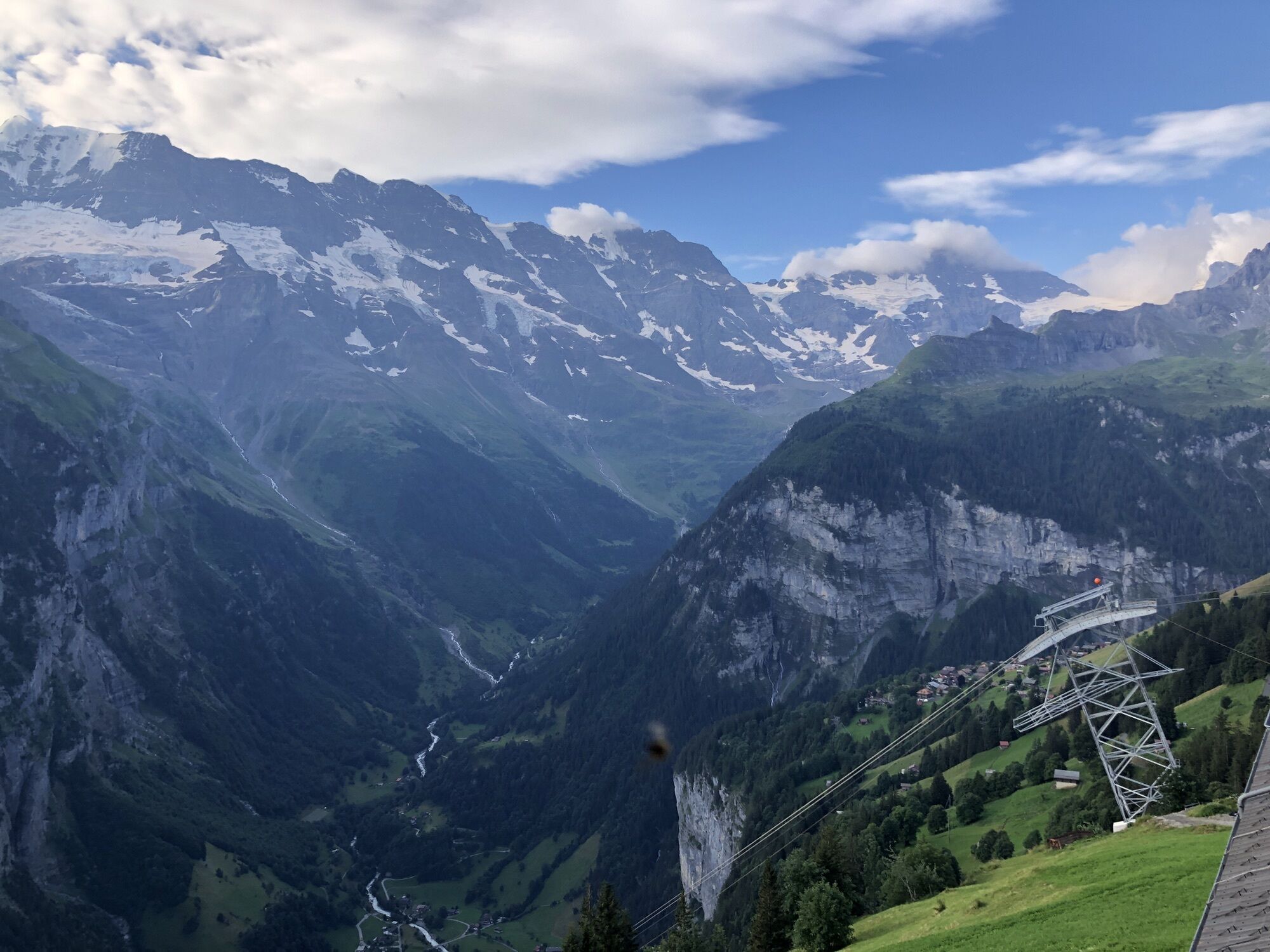
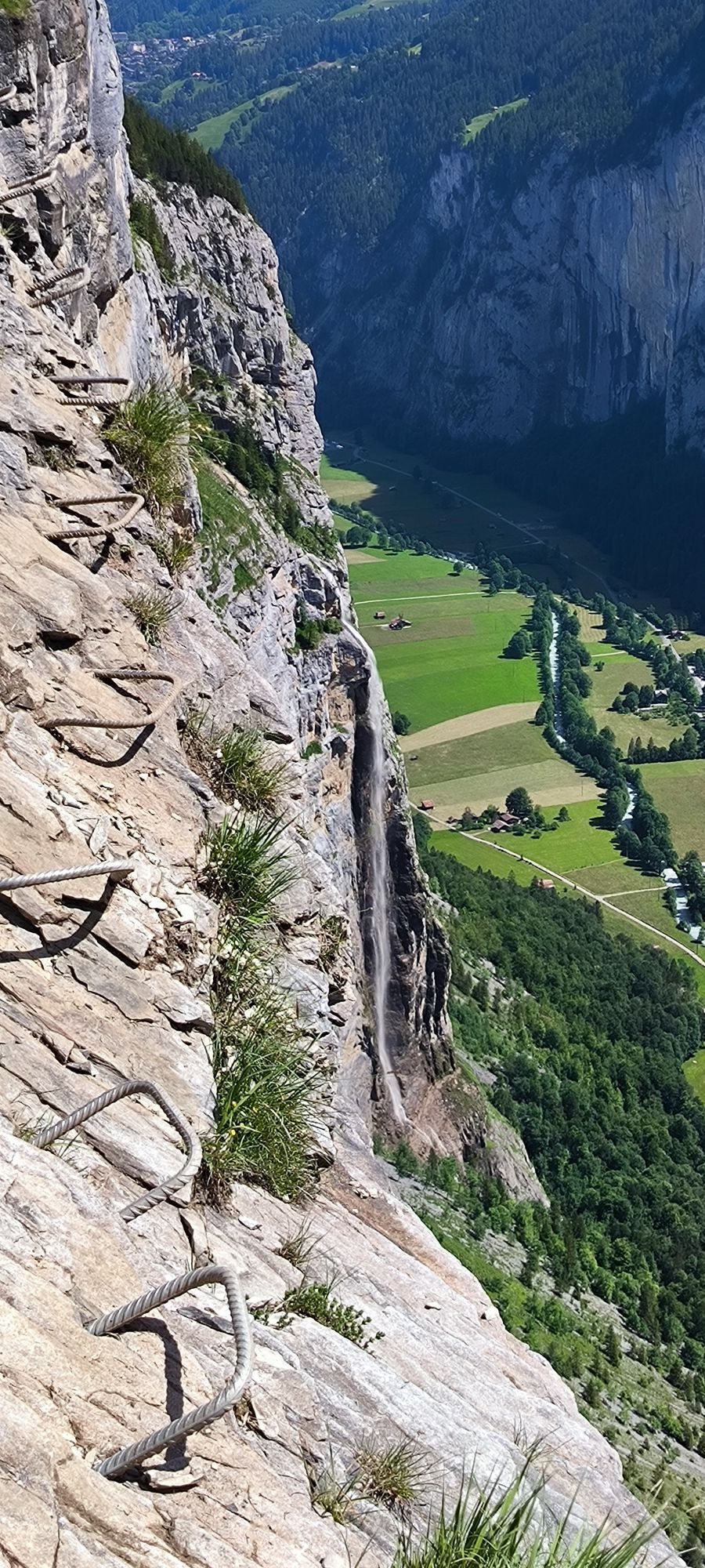
On this via ferrata, we do not gain altitude. On the contrary, here we climb down instead of up. The starting point is the viewing terrace Mürren, high above the Lauterbrunnen valley. More precisely, the...
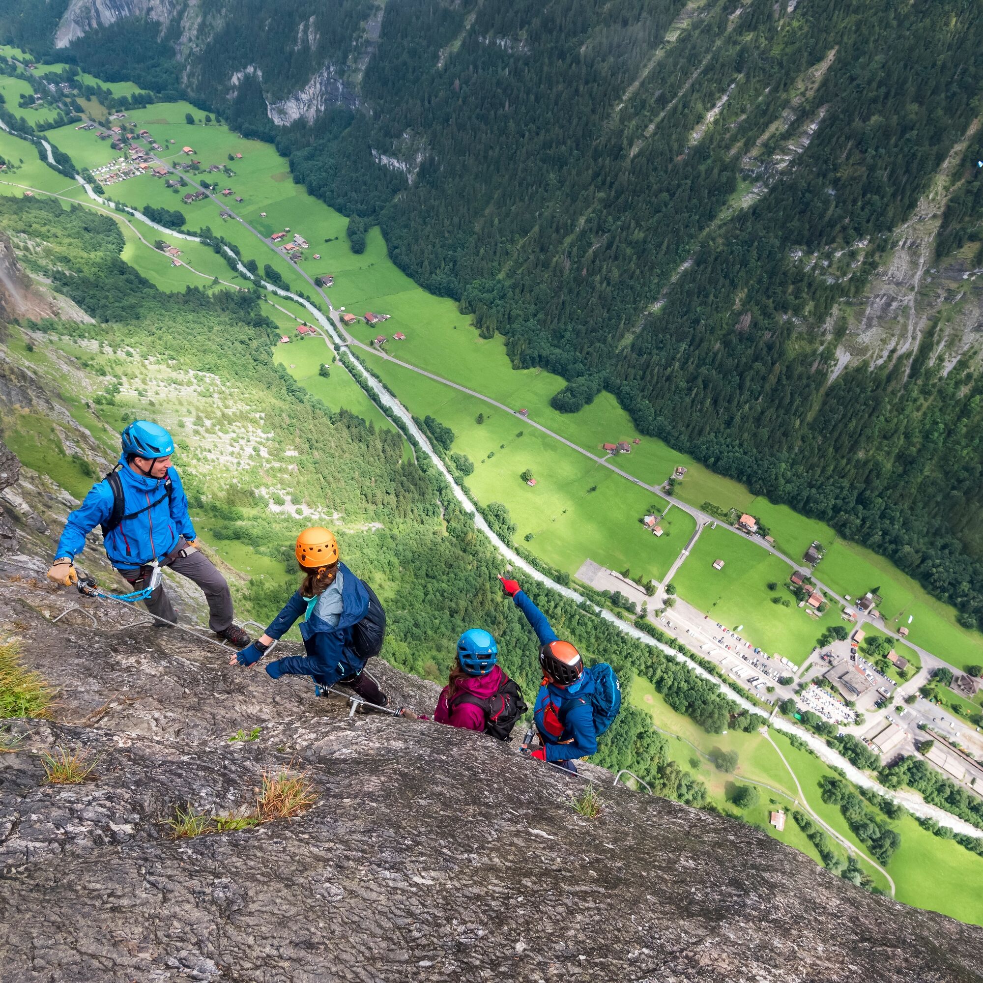
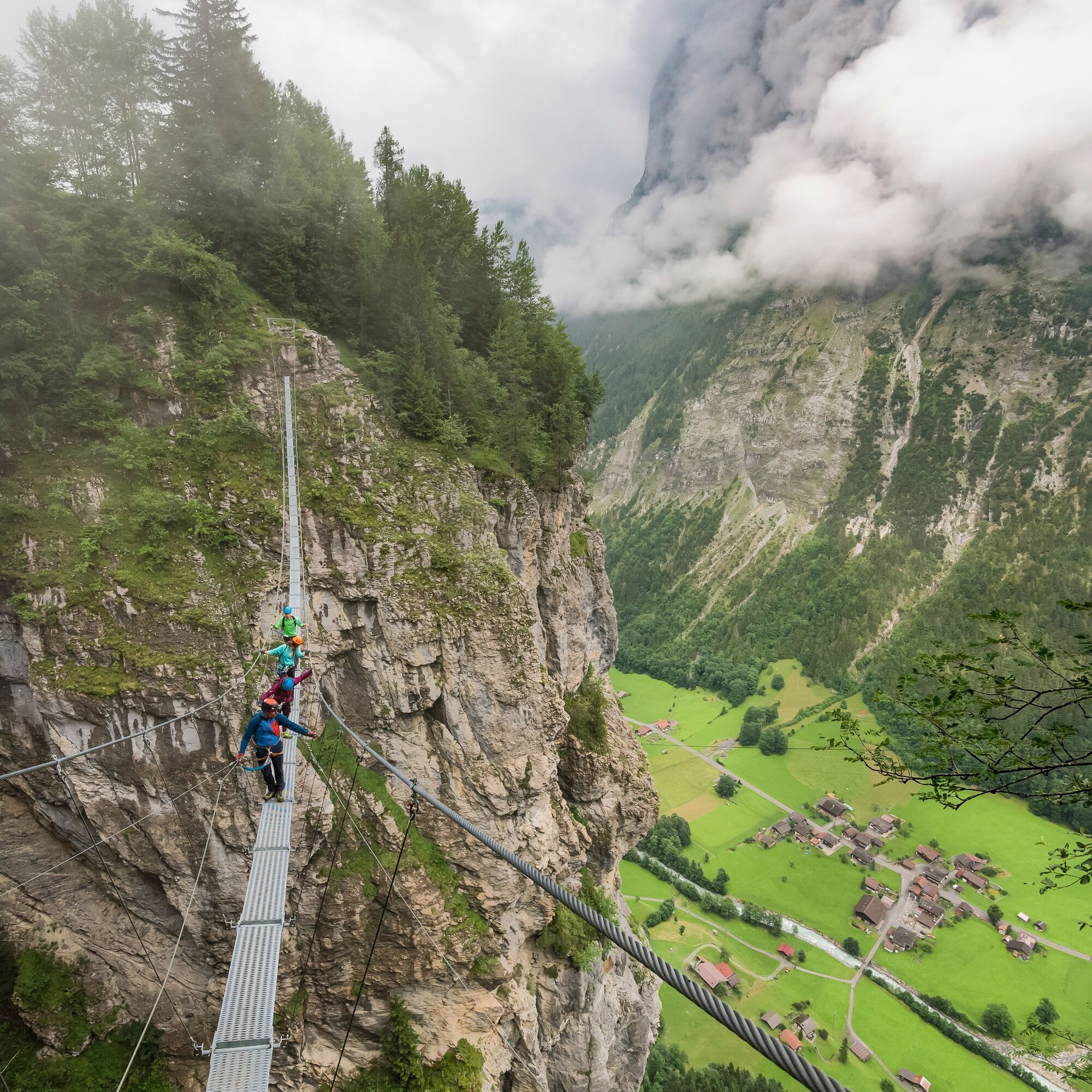
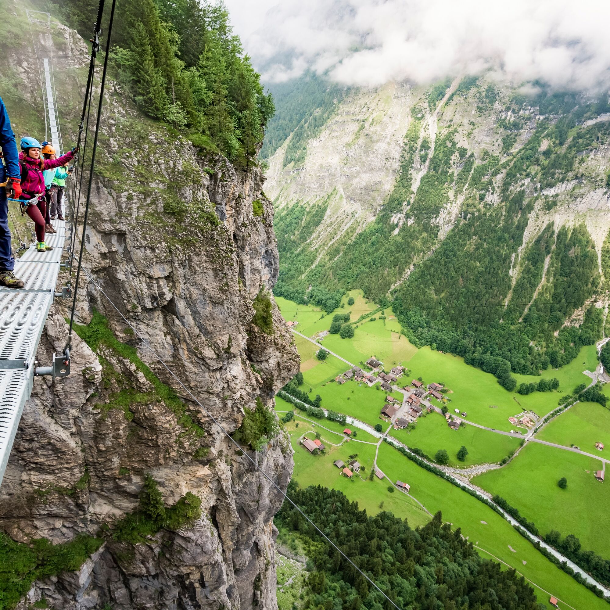
On this via ferrata, we do not gain altitude. On the contrary, here we climb down instead of up. The starting point is the viewing terrace Mürren, high above the Lauterbrunnen valley. More precisely, the intermediate station of the Schilthorn aerial cableway, from where we reach the start of the via ferrata in just 15 minutes. It takes us in about three hours over a steep abyss to Gimmelwald – including spectacular views of the Bernese four-thousanders.
Guided tour
Outdoor Switzerland
info@outdoor.ch
+41 33 224 07 07
Equipment rental
Intersport Mürren
info@intersport-muerren.ch
+41 33 855 23 55
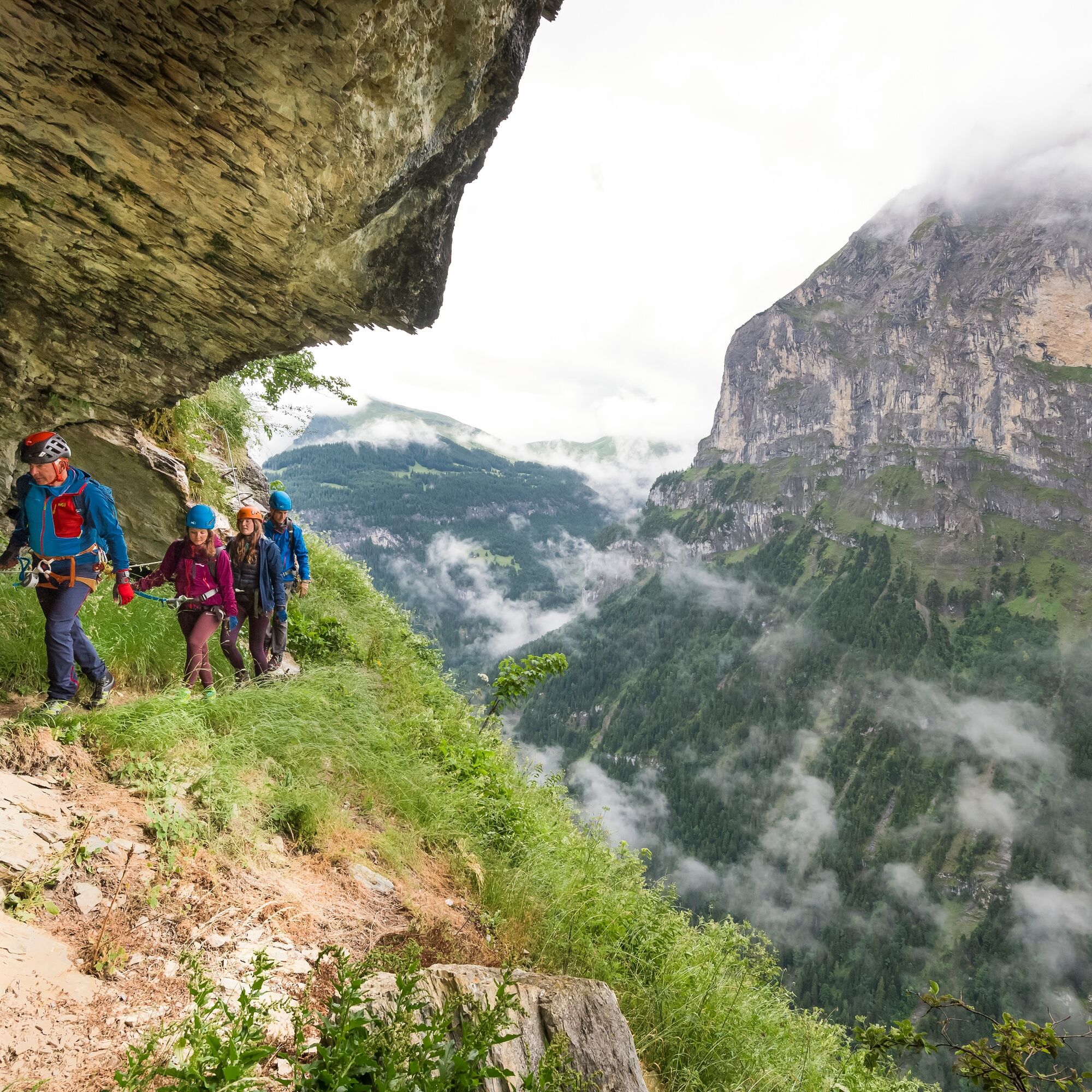
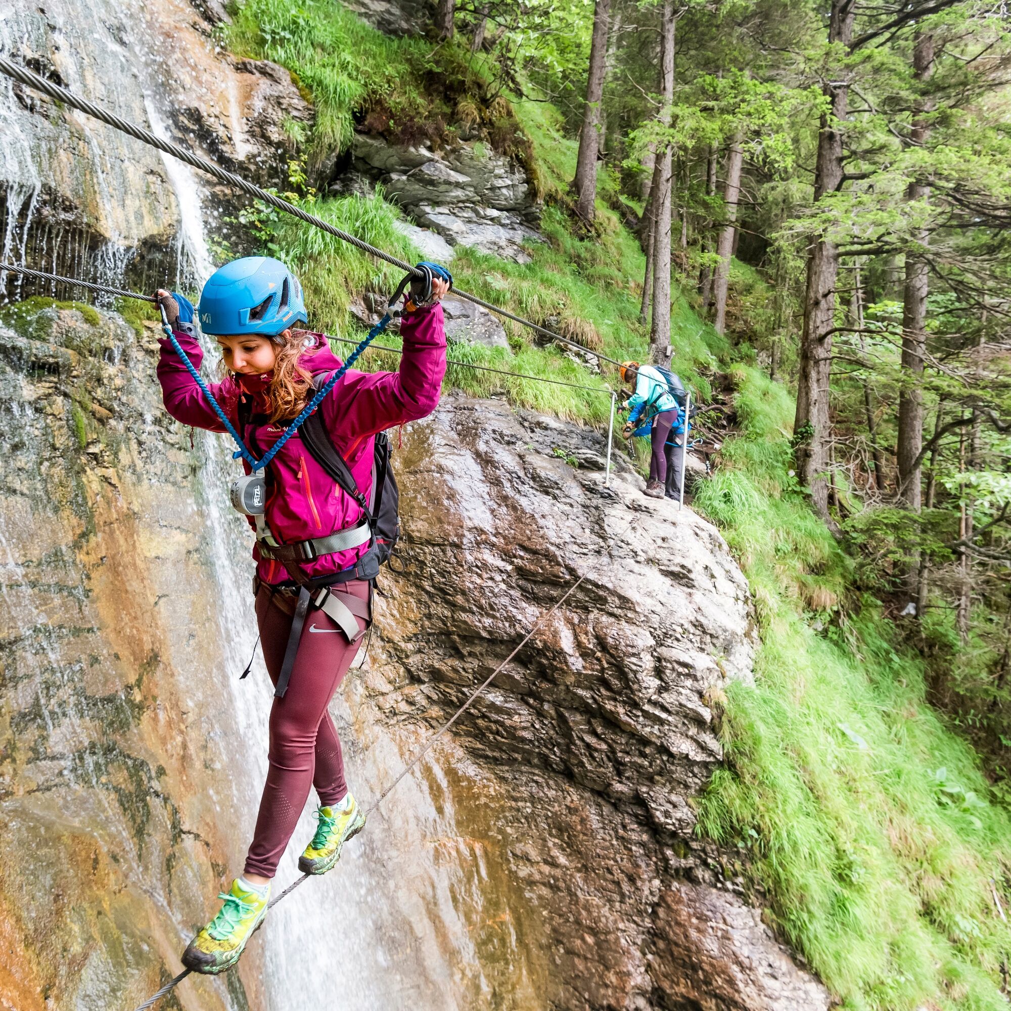
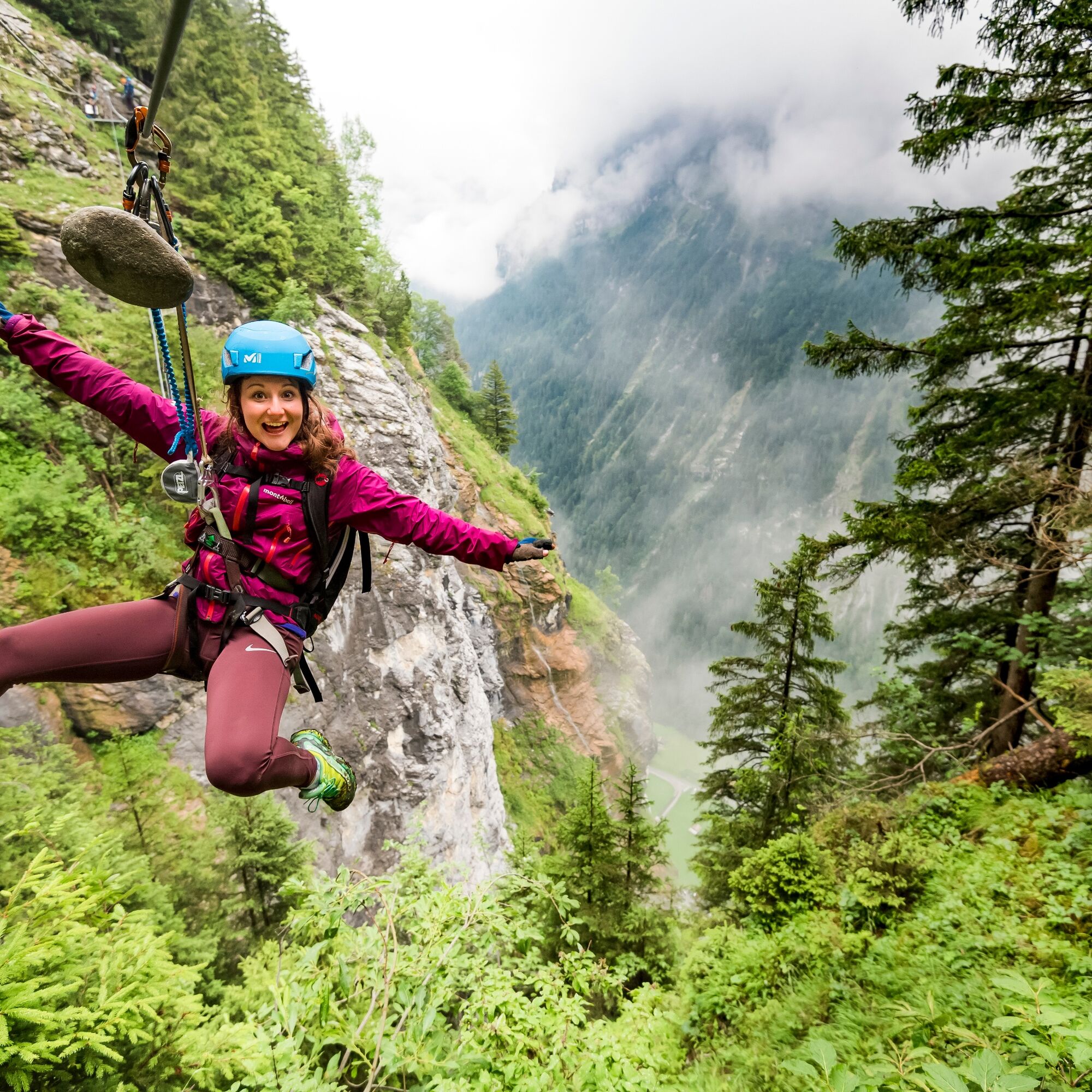
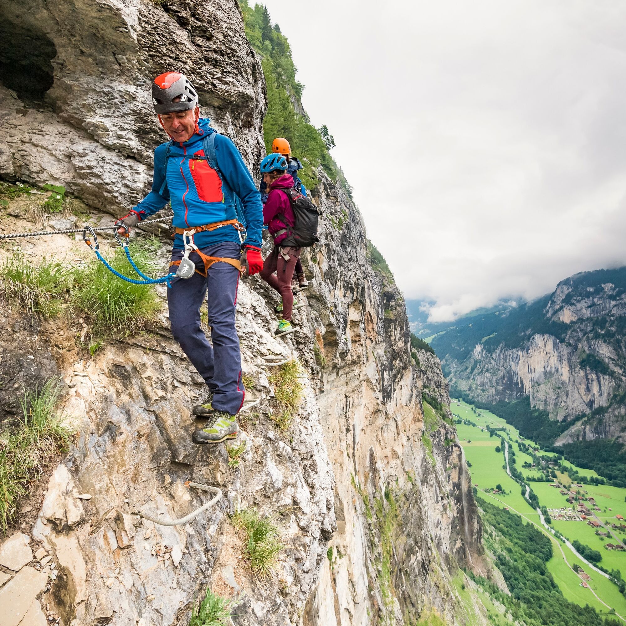
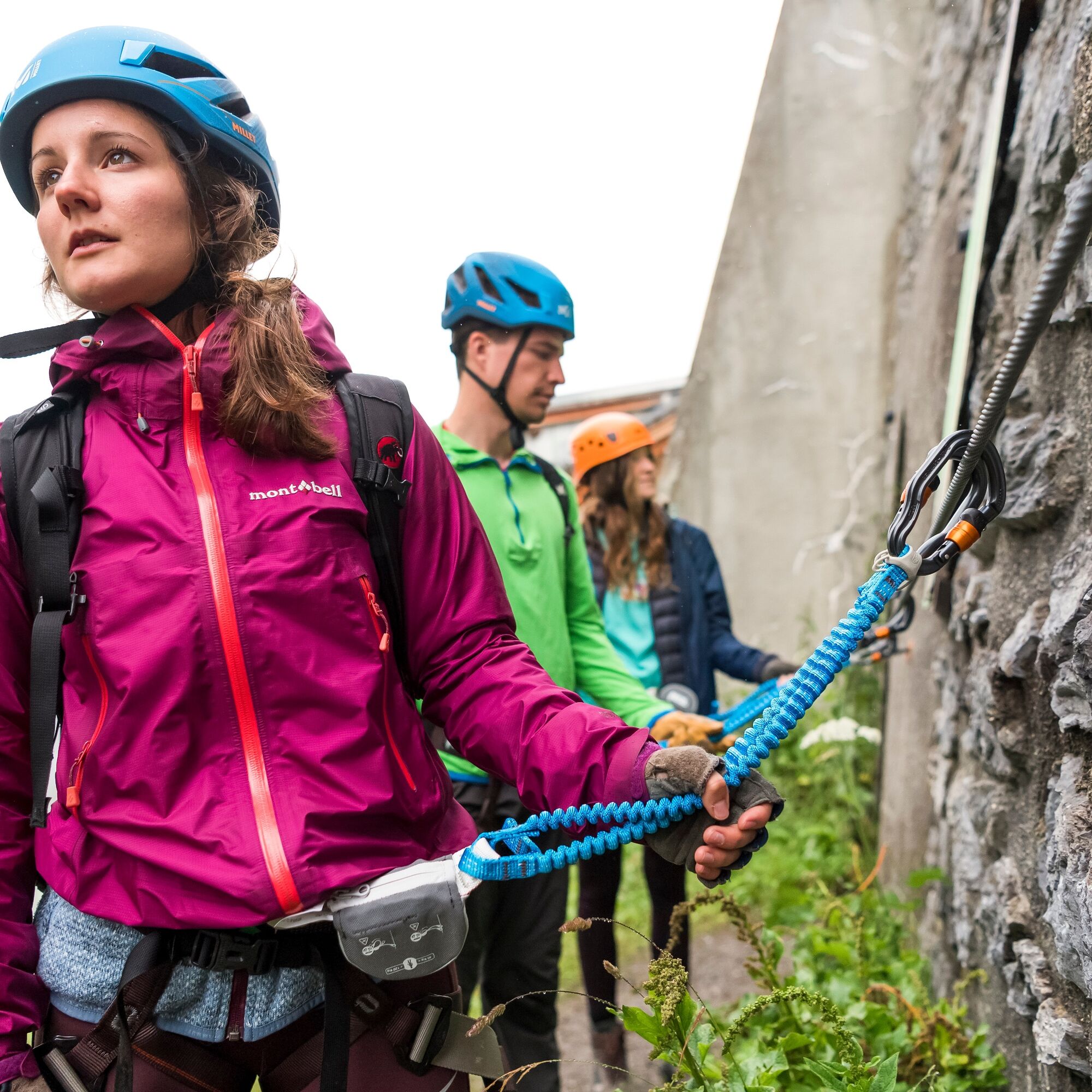

Mandatory equipment: climbing harness, via ferrata set, climbing helmet, lanyard (sling and locking carabiner), climbing backpack, and sturdy footwear.
Optional equipment: via ferrata gloves
For the via ferrata walk, we have good fitness, sure-footedness and a head for heights, suitable equipment, and knowledge of mountain behavior.
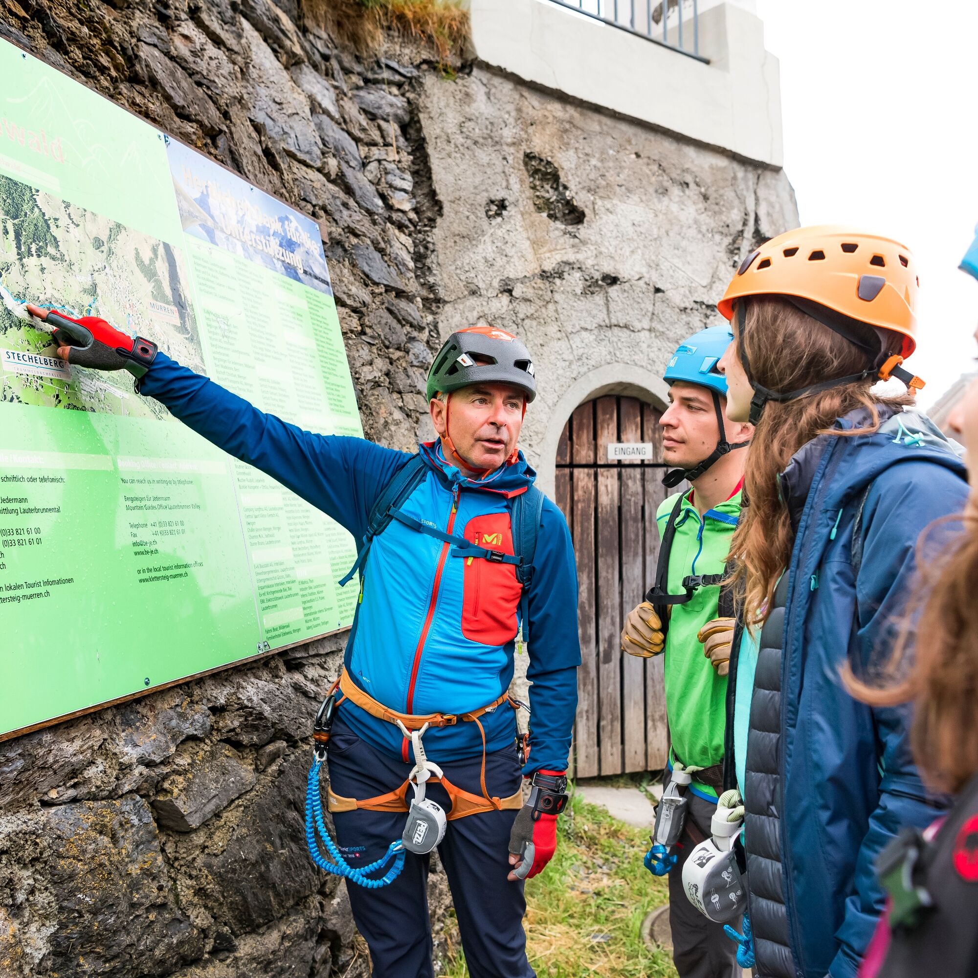
If inexperienced, it is advisable to complete the via ferrata with a mountain guide. We only enter the rock face in good weather – and leave immediately in case of a sudden weather change or thunderstorm warning. A carabiner remains always on the safety rope.
Participation is at your own risk. Jungfrau Region Tourism AG disclaims all liability.
From Basel and Geneva, we travel via Bern to Interlaken and onwards to the Lauterbrunnen valley. From Zurich, the fastest route leads via Lucerne and the Brünig Pass to the Jungfrau Region. Coming from the south, we reach the destination via Grimsel or Susten Pass (summer only) or Simplon Pass (with subsequent car transport through the Lötschberg).
Thanks to its central location in Europe, Switzerland is served by international trains from over 12 countries. Within Switzerland, we take Intercity trains from Basel and Lucerne directly to the Jungfrau Region. Coming from Zurich, a change of train in Bern is necessary. Trains run every half hour. At Interlaken Ost, we take the Bernese Oberland Railway (BOB) to Lauterbrunnen, then the cable car to Grütschalp. From there, it is another 14 minutes by train to Mürren. Alternatively, from Lauterbrunnen, we can take a bus to Stechelberg, the valley station of the Schilthorn cable car, to reach Mürren via Gimmelwald.
Timetable and ticket purchase SBBMürren is car-free. We park in the Lauterbrunnen car park (online reservation possible) or in the uncovered car park at the Schilthorn cable car in Stechelberg.
Webové kamery z prohlídky
Získejte přehled Vždy živě na místě s více než 9 500 webkamerami. bergfex Jako uživatel Pro si nyní můžete zobrazit odpovídající webové kamery pro mnoho prohlídek v aplikaci prohlídky z. Můžete si tak přímo prohlédnout aktuální podmínky. 
Oblíbené prohlídky v okolí
- 4.4
Kandersteg - Oeschinensee - Blüemlisalphütte
heavyTuristika 11.8 km - 4.7
Schynige Platte - Faulhorn - First
heavyTuristika 16.8 km - 3.8
Öpfelchüechliweg
světloTuristika 4.70 km - 5.0
Kleine Scheidegg - Eigergletscher - Alpiglen (37 Jungfrau Eiger Walk + 36 Eiger Trail)
středníTuristika 9.61 km - 4.7
Schynige Platte - Daube - Gumihorn
světloTuristika 5.86 km - 3.8
Lobhornhütte / Sulseewli
středníTuristika 7.14 km - 4.4
Gletscherschlucht - Pfingstegg - Rundweg
středníTuristika 5.84 km - 4.7
Oeschinensee
světloTuristika 15.2 km - 2.8
Aeschiried - Suldtal - Pochtenfall - Brunni - Greberegg - Aeschiried
středníTuristika 13.8 km - 5.0
Rundwanderung Anenhütte
středníTuristika 10.2 km
Pěší turistika a stopování


Nenechte si ujít nabídky a inspiraci pro vaši příští dovolenou
Vaše e-mailová adresa byl přidán do poštovního seznamu.





