







Wine route: Branson - Saillon (Stage 1)
The wine route leads on the northern side of the Rhone valley through sunny wine-growing areas and connects picturesque winegrower villages that gave their names to some prestigious Valais wines.
The wine...
The wine route leads on the northern side of the Rhone valley through sunny wine-growing areas and connects picturesque winegrower villages that gave their names to some prestigious Valais wines.
The wine route can be explored in three ways – by car, by bike, or on foot. Accordingly, the route varies somewhat. The hike on foot (Switzerland Mobility / Route 36) covers four stages over 65 km. The first stage is the hike from Branson to Saillon.
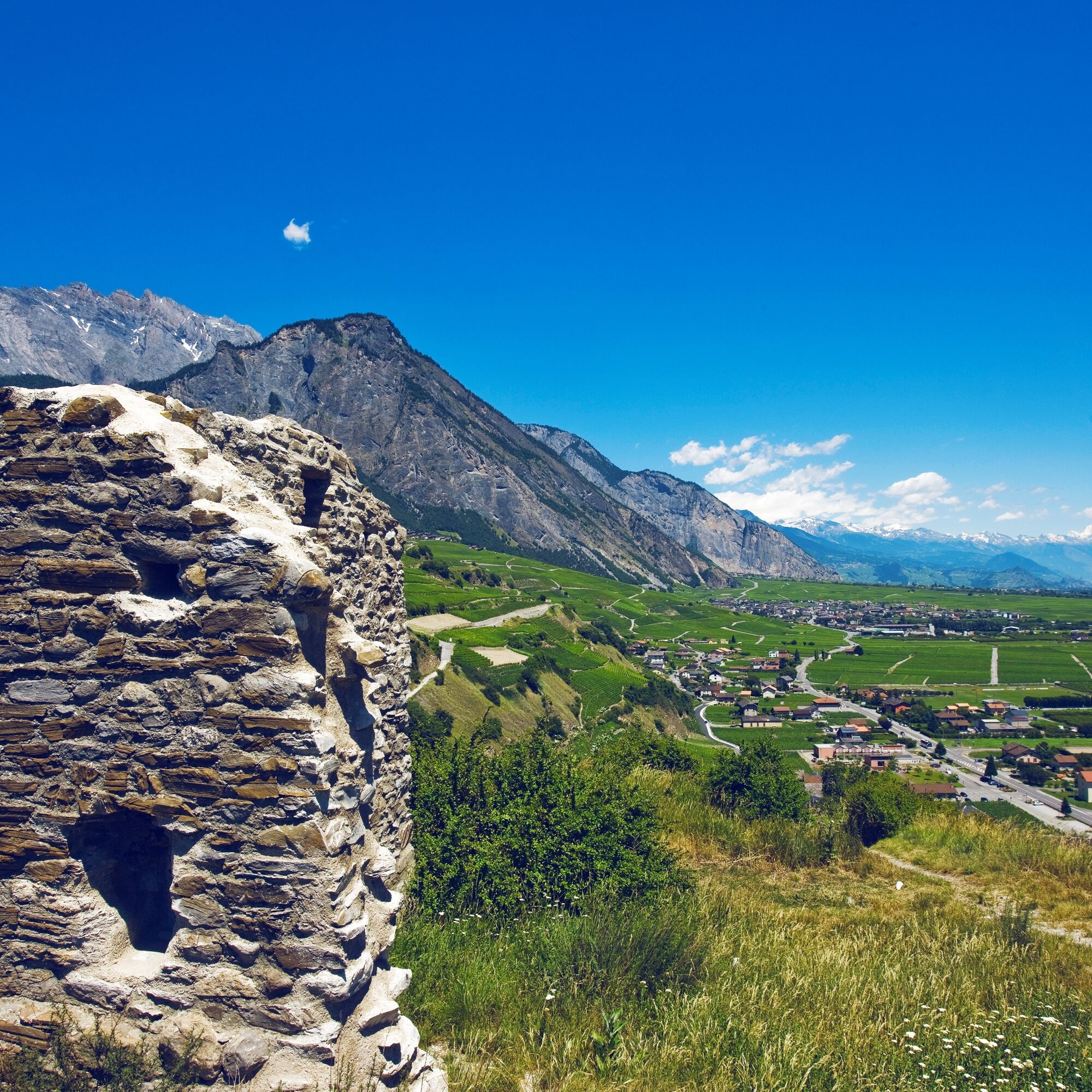
The hiking trail runs a little above the wine villages and offers a wonderful view of the Rhone valley floor, the diverse and colorful orchards, and the mountain ranges behind them.
The climate in this area is exceptionally sunny and dry, leading to a Mediterranean vegetation with cacti, fig, olive, and almond trees. Part of the route runs along a nature trail through an old chestnut grove, which is the center of the annual chestnut festival in Fully.
The sleepy and picturesque villages along the hike are full of charm, especially Saillon, which was recently voted the most beautiful village in the French-speaking part of Switzerland. Take your time for a walk through the winding alleys and up to the medieval castle with its great view.
Highlights of the hike:
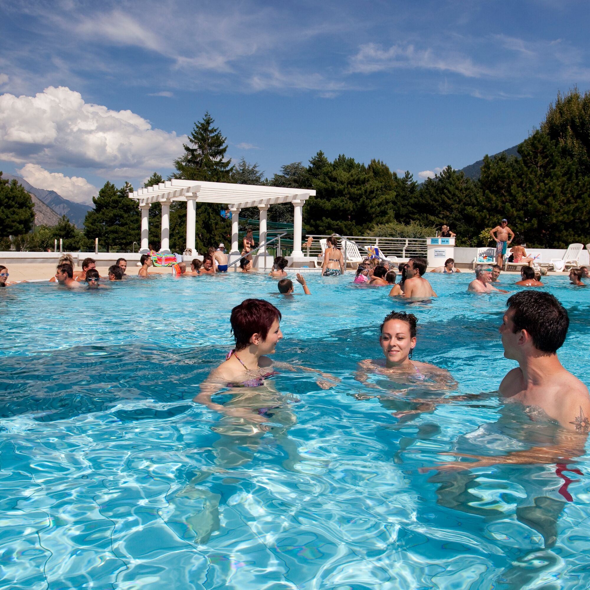
Winegrower villages – picturesque, historic, and full of charm Mediterranean flora – thanks to sunny and dry weather Saillon – medieval village with castle ruins and museum. Attractions near the vineyard: Farinet (the smallest vineyard in the world, educational path with stained glass windows), Farinet suspension bridge, open-air theater with falcon flights, thermal baths of Saillon
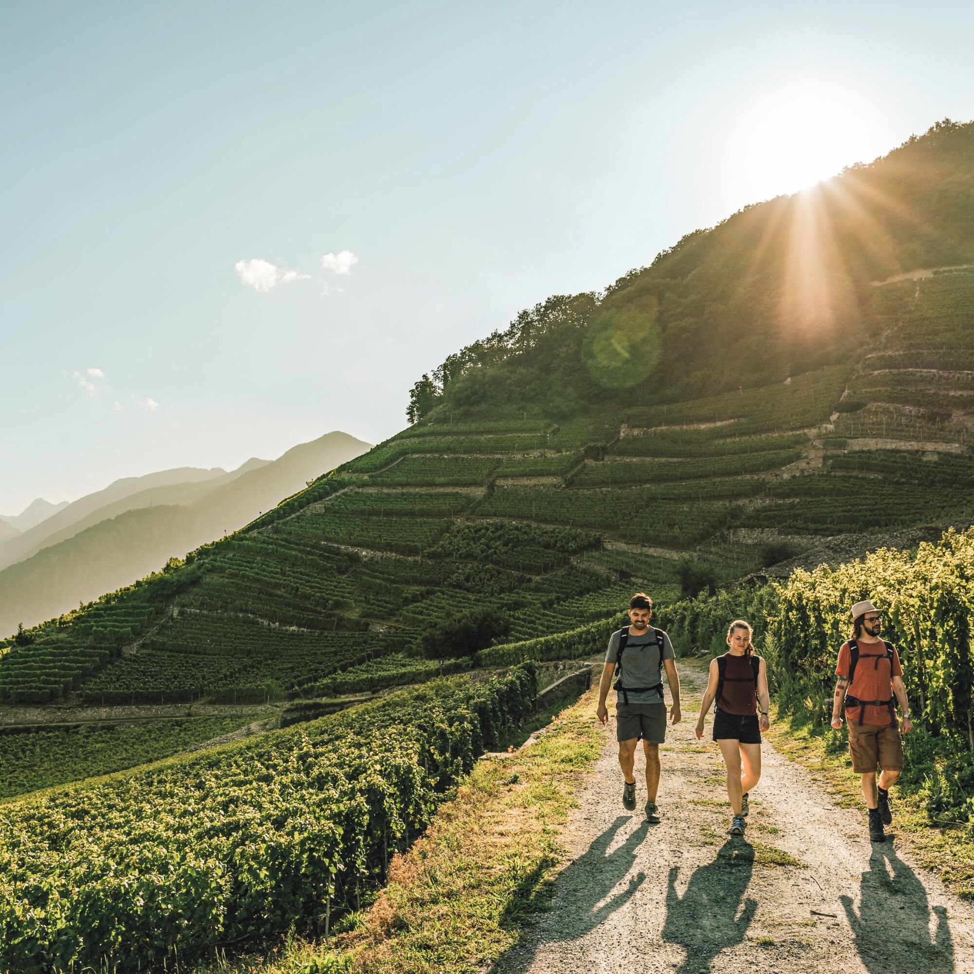
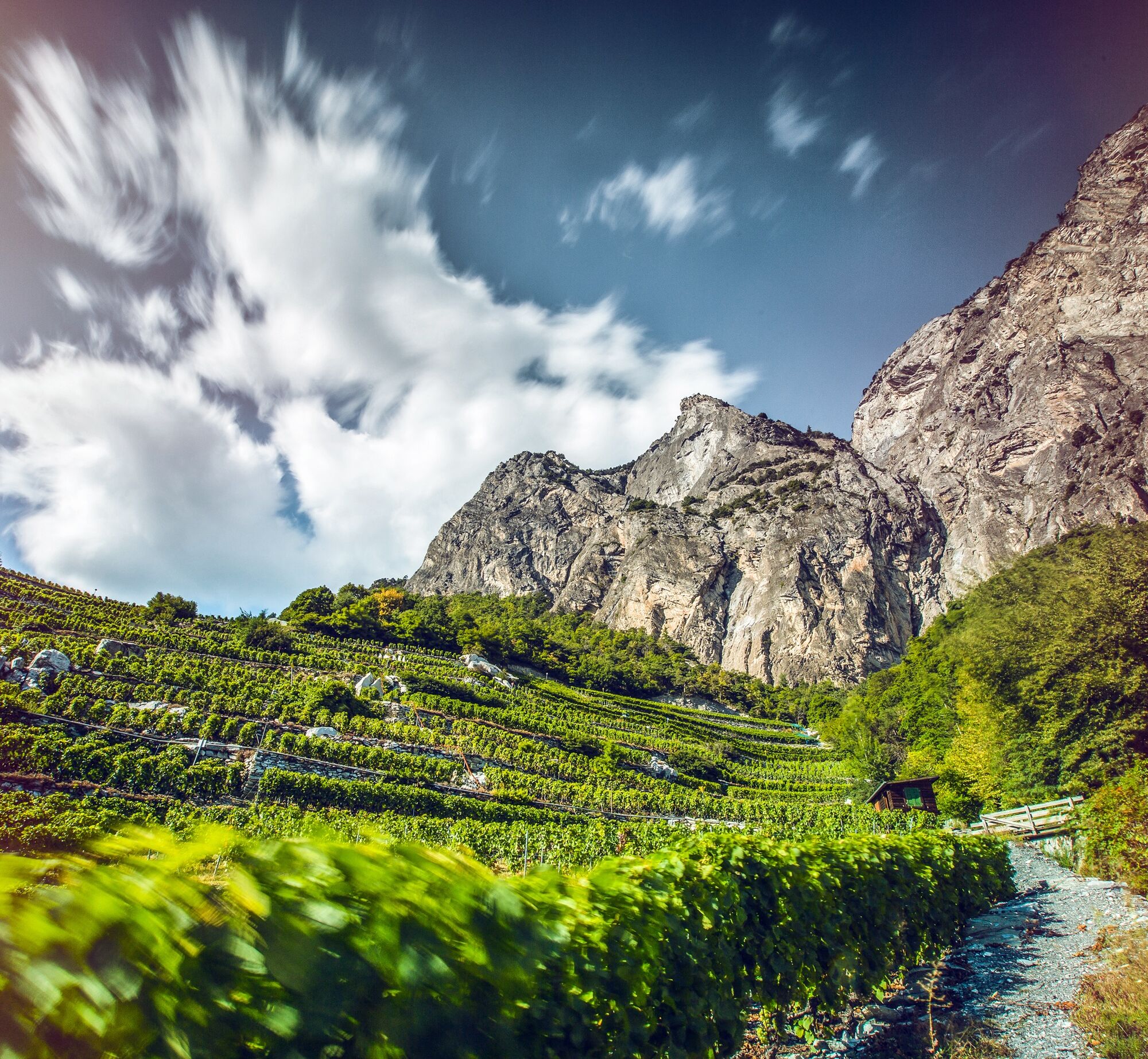

From the starting point on the bridge over the Rhone, the path leads directly up through the vineyards terraces of the village Branson. Above Fully – the place is also called “Capitale de la Petite Arvine” – the hike follows a nature trail, through a chestnut grove and then down to an old historic hydroelectric power plant, which has been converted into a theater and cultural center (La Belle Usine). The wine route does not go into the center of Fully but runs a little above the village through the vineyards and the winegrower villages La Fontaine, Châtaignier, Saxé, and Mazembroz. Finally, it goes somewhat downhill along the Gru canal towards Saillon. One last ascent leads you into the center of the medieval town.
Ano
We recommend:
Good footwear Weather-dependent clothing: always carry a waterproof vest Headgear Sunscreen Water bottle Picnic Camera Binoculars (optional) Hiking poles (optional) Printout of the hiking trail (click “Print” to download)For certain hikes:
SwimsuitUse of the hiking trails and information on this website is at your own risk. Conditions on site may cause changes to the route. Valais/Wallis Promotion assumes no responsibility for the accuracy and completeness of the information on this website. Assess your own skills and fitness well. Use of the different routes is generally at your own responsibility.
For all hikes:
Carry a map with you. Download the complete description of the hiking trail with a large-scale map by clicking “Print” at the top right of the page. Use only marked hiking trails and observe all signs and instructions – for your own safety, to protect grazing animals, and out of respect for wildlife. Close gates after passing through. Behave considerately towards other trail users, plants, and animals.For mountain hikes:
Carry additional sun protection. UV radiation at high altitudes can be very strong, even in cloudy weather. Plan your hike carefully: Consider the required fitness level of all participants, weather forecasts, and season dependencies. The weather conditions in the mountains can change very quickly and without warning. Appropriate clothing and sufficient provisions (food and drink) are very important. In unstable weather, it is better to turn back early.For high alpine hikes:
Inform your family about your hiking route. Avoid being alone if possible. Do not venture onto glaciers without a mountain guide. Observe warning signs indicating dangers at riverbanks, along watercourses below dams and reservoirs: Water levels can rise quickly and without warning.Highway A9, exit 21 (Martigny-Fully). Follow the signs to Fully. The hike starts on the Pont du Rhône bridge.
Take the train to Martigny and then the bus to Branson (Pont du Rhône). Timetable information is available on sbb.ch
Parking in Saillon and then bus to the starting point. Follow the local parking guidance system in Saillon.
Získejte přehled Vždy živě na místě s více než 9 500 webkamerami. bergfex Jako uživatel Pro si nyní můžete zobrazit odpovídající webové kamery pro mnoho prohlídek v aplikaci prohlídky z. Můžete si tak přímo prohlédnout aktuální podmínky. Oblíbené prohlídky v okolí
- 4.6
From Saillon to the Farinet suspension bridge
středníTuristika 7.86 km - 5.0
Sentier de Salanfe
středníTuristika 12.8 km From Savoleyres to the mountain lake Lac des Vaux
středníTuristika 14.0 kmTour du Grand Chavalard
středníTuristika 14.9 km- 4.5
The Larches of Balavaux
světloTuristika 11.0 km - 5.0
Tour de La Seya hike
středníTuristika 8.09 km Via Farinetta
heavyVia ferrata 6.41 km- 4.5
Vineyard terrace hike in Martigny
světloTuristika 6.36 km - 3.5
The Ahornweg « La Voie des Erables »
heavyTuristika 9.66 km Sentier des Sens La Tzoumaz (Path of the Senses)
světloTuristika 5.42 km
Pěší turistika a stopování


Nenechte si ujít nabídky a inspiraci pro vaši příští dovolenou
Vaše e-mailová adresa byl přidán do poštovního seznamu.





