






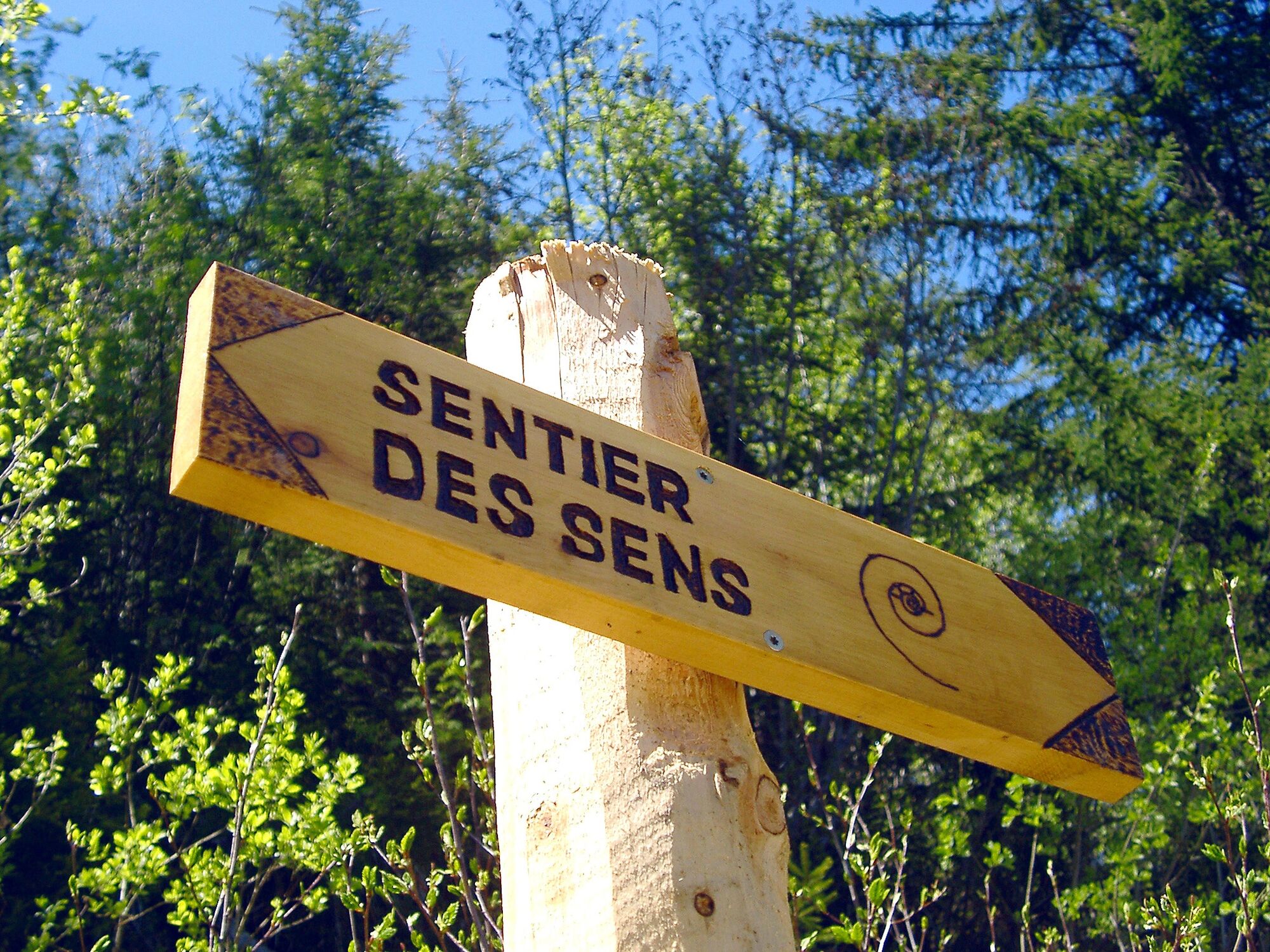
Sentier des Sens La Tzoumaz (Path of the Senses)

The "Sentier des Sens" (Path of the Senses) is a 5.5 km long hike (round trip) for nature lovers of all ages. The path is also accessible for strollers and wheelchairs and was originally developed in collaboration...
The "Sentier des Sens" (Path of the Senses) is a 5.5 km long hike (round trip) for nature lovers of all ages. The path is also accessible for strollers and wheelchairs and was originally developed in collaboration with a school for visually impaired children in Lausanne. Since then, it invites hikers to discover nature with all their senses—especially touch, hearing, and taste.
The path begins at the “Maison de la Forêt.” With an interactive exhibition about local wildlife, a botanical garden, and an adventure playground, the place already invites you to linger. A 5-sense quiz booklet for the hike is available in the associated café. In a series of games around the forest house as well as on the hike, you learn more about our five senses. The booklet is available in French, English, and German—and the panels along the hike are also in Braille.
On the hike, you discover your surroundings in a different way: taste the scent of flowers and trees, listen to birdsong, and feel the texture of the ground under your feet. The route runs along a historic irrigation channel originally built to bring glacier water to irrigate fields and gardens in the villages. The “Bisse de Saxon” irrigation channel was hand-built around 1850 and, at 26 km in length, is the longest in Valais.
At “Le Marteau” there is a picnic area with tables and a fireplace. The forest house “Maison de la Forêt” is open from the end of May to the end of September and also on weekends in October.
Highlights of the hike:
Forest house "Maison de la Forêt" with interactive exhibition, adventure playground, and café. 5 senses quiz – games and puzzles along the hike. The flat path along an irrigation channel is accessible with strollers and wheelchairs. Fully equipped picnic area with tables and fireplace.
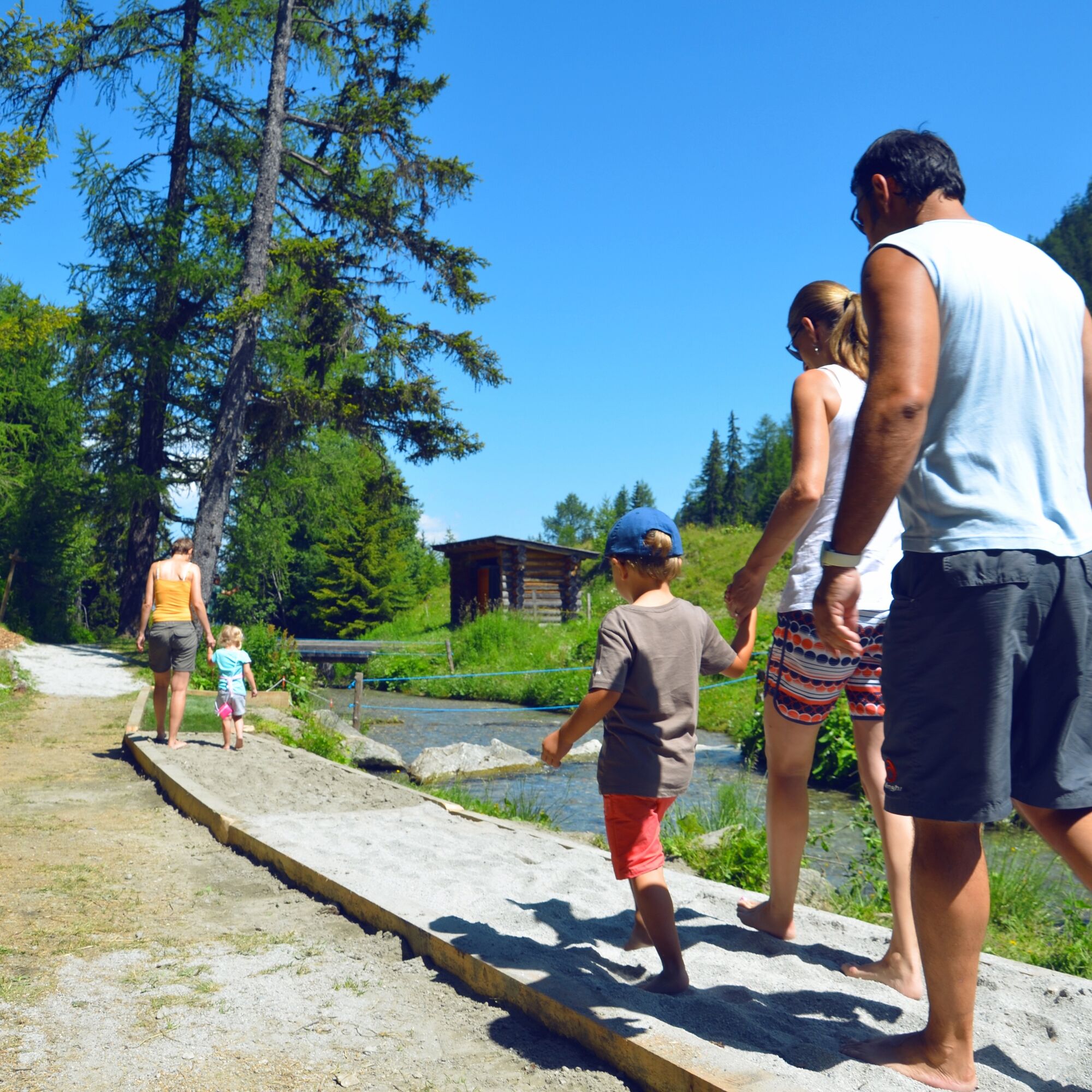
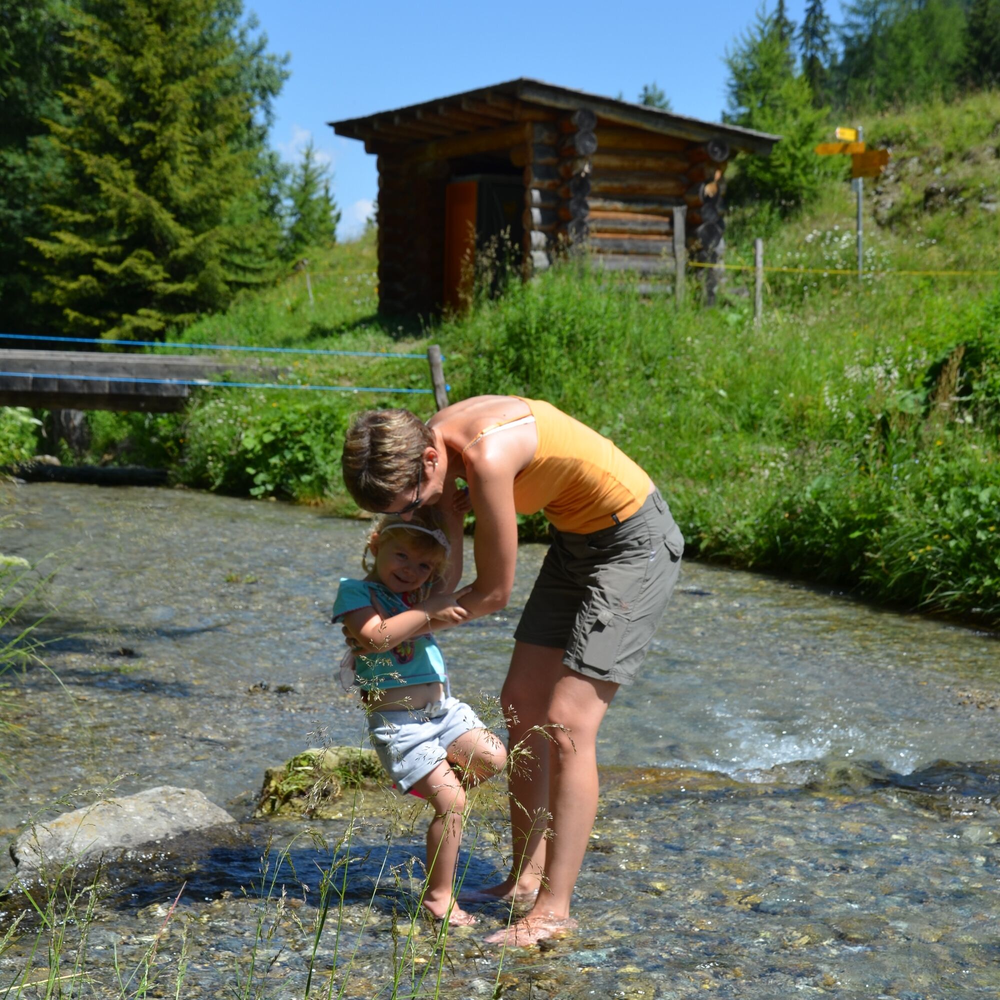
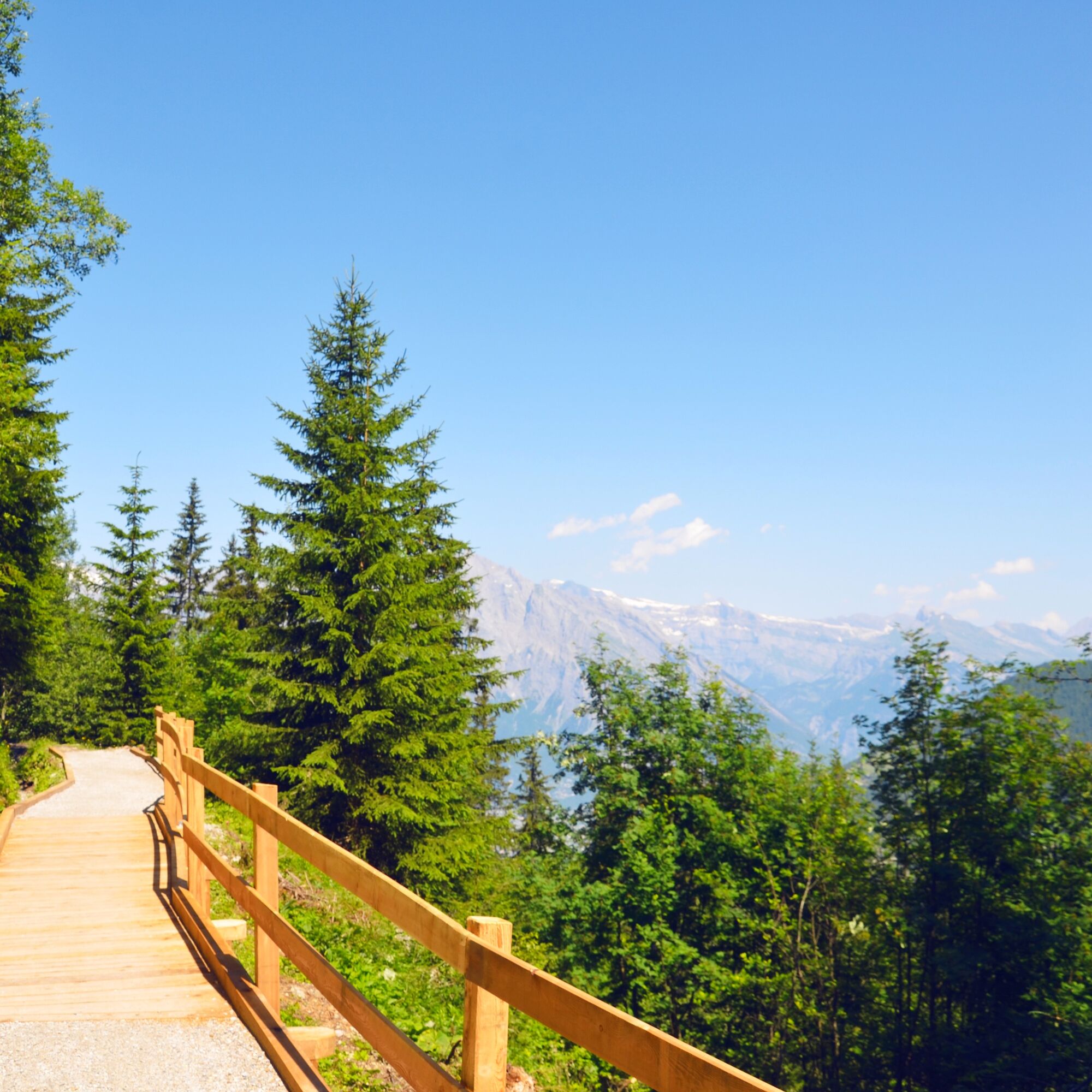

Starting at the Maison de la Forêt, the path first leads through the forest along the irrigation channel "Bisse de Saxon." At "Les Pontets" you hike through the subalpine forest and over fields before returning to the channel along the stream "La Fare."
The picnic area is located about one kilometer from the start/end of the hike.
Ano
Ano
We recommend:
Good footwear Weather-dependent clothing: always carry a waterproof vest Headgear Sun protection Water bottle Picnic Camera Binoculars (optional) Trekking poles (optional) Printed hiking trail (click “Print” to download)For certain hikes:
SwimsuitThe mountains, a place of joy to share and respect. The mountain world is a place to meet and experience unforgettable moments together—whether by bike or on foot. To ensure everyone can benefit, it is essential to share this space with respect for nature and agriculture. Respectful behavior allows everyone to enjoy leisure activities under the best conditions. Inform yourself about recommendations and rules. Assess your own abilities and fitness well. Using the various routes is always at your own risk.
For all hikes:
Carry a map with you. Download the complete description of the hiking trail with a large-scale map by clicking “Print” at the top right of the page. Use only marked hiking trails and comply with all signs and instructions—for your own safety, the protection of grazing animals, and respect for wildlife. Close gates after passing through. Be considerate of other trail users, plants, and animals.For mountain hikes:
Carry additional sun protection. UV rays can be very strong at high altitudes, even in cloudy weather. Plan your hike carefully, taking into account the required fitness level of all participants, weather forecasts, and seasonal dependencies. Weather conditions in the mountains can change very quickly and without warning. Proper clothing and sufficient provisions (food and drink) are very important. In unsettled weather, turn back early.For high alpine hikes:
Inform your family about your hiking route. Avoid going alone if possible. Do not venture onto glaciers without a mountain guide. Pay attention to warning signs indicating dangers at riverbanks, along waterways below dams and reservoirs: water levels can rise quickly and without warning.Motorway A9 to exit 24 (Riddes). Follow signs towards La Tzoumaz.
Regional trains on the Simplon line to Riddes. From there, take the postbus to La Tzoumaz. The start of the hike is 1.25 km from the mountain lift station and can be reached on foot in about 30 minutes. Timetables for trains and postbuses are available at sbb.ch.
Parking is available near the “Maison du Forêt.”
View this route on Switzerland Mobility:
No. 254 Sentier des Sens La TzoumazMore information about the destination:
La TzoumazBorrow a drawing set at the “Maison de la Forêt” and discover nature through the eyes of an artist thanks to the playful activity “The Green Pencil.”
Webové kamery z prohlídky


Oblíbené prohlídky v okolí
-
4.6
From Saillon to the Farinet suspension bridge
středníTuristika 7.86 km -
5.0
Sentier des bouquetins
středníTuristika 8.73 km -
4.7
Cleuson Dam
středníTuristika 11.5 km -
Tour du Grand Chavalard
středníTuristika 14.9 km -
From Savoleyres to the mountain lake Lac des Vaux
středníTuristika 14.0 km -
4.5
The Larches of Balavaux
světloTuristika 11.0 km -
5.0
Tour de La Seya hike
středníTuristika 8.09 km -
4.0
Sentier des Chamois
heavyTuristika 11.6 km -
Via Farinetta
heavyVia ferrata 6.41 km -
5.0
From Cabane Brunet to Cabane FXB Panossière
středníTuristika 6.87 km
Pěší turistika a stopování


Nenechte si ujít nabídky a inspiraci pro vaši příští dovolenou
Vaše e-mailová adresa byl přidán do poštovního seznamu.





