


From Simplon to Spitzhorli and Alten Spittel


The Simplon Pass is an important route through the Alps connecting Switzerland and Italy between Brig and Domodossola. This circular trail run starts at Simplon Pass, this time for a less frequented adventure....
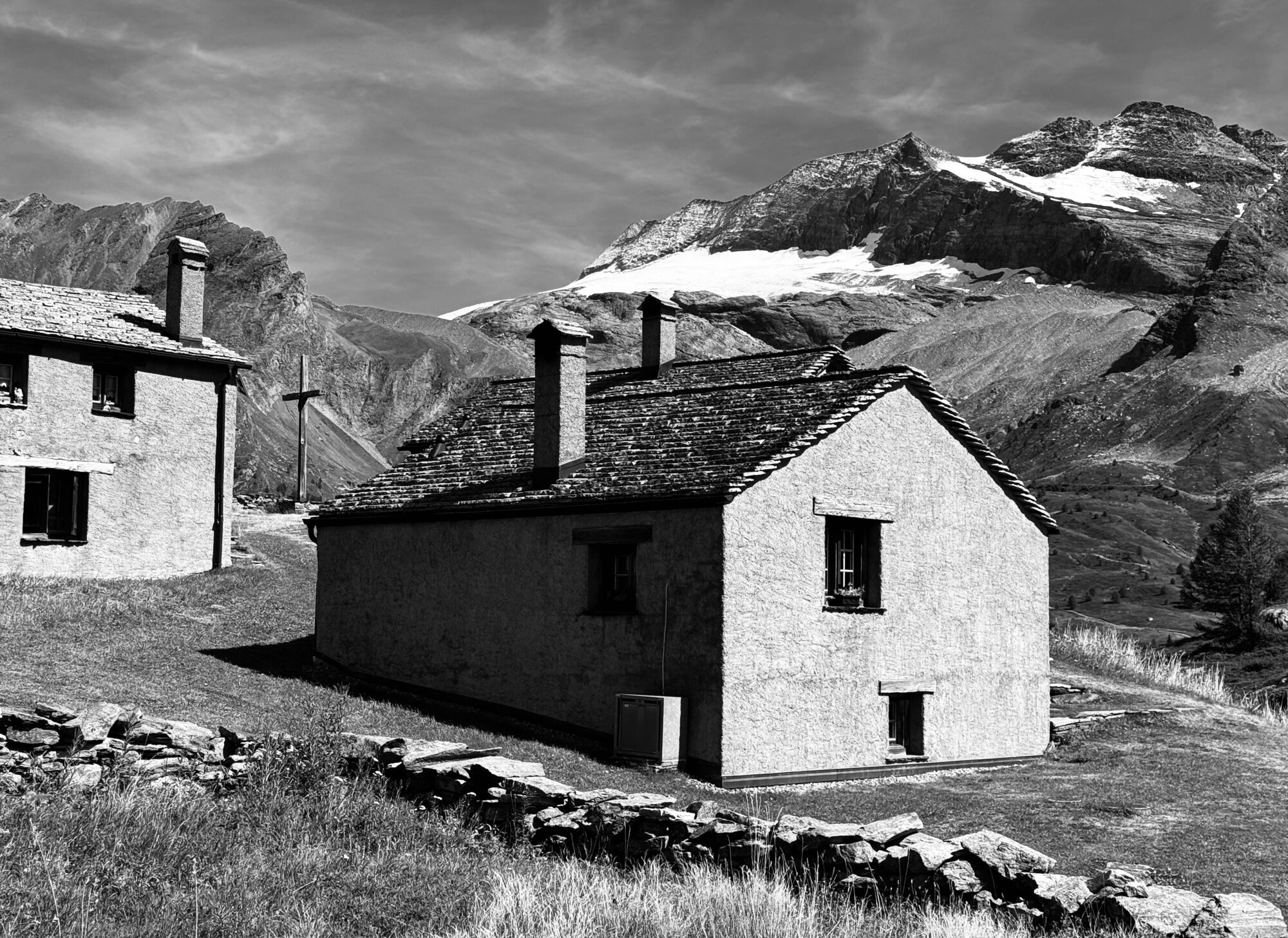
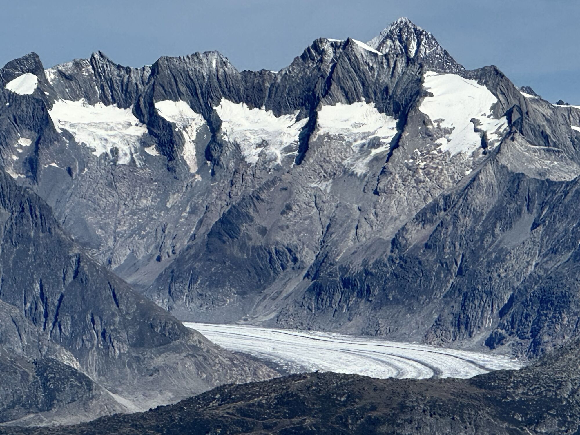
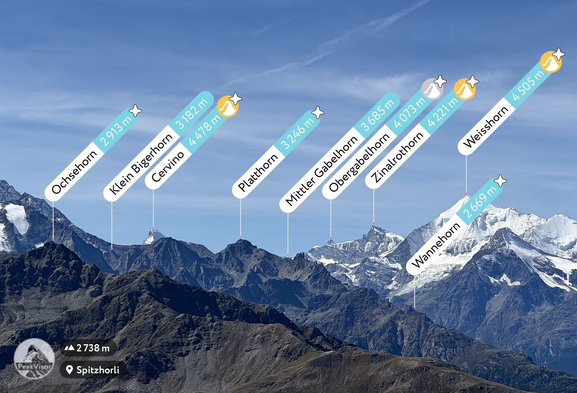
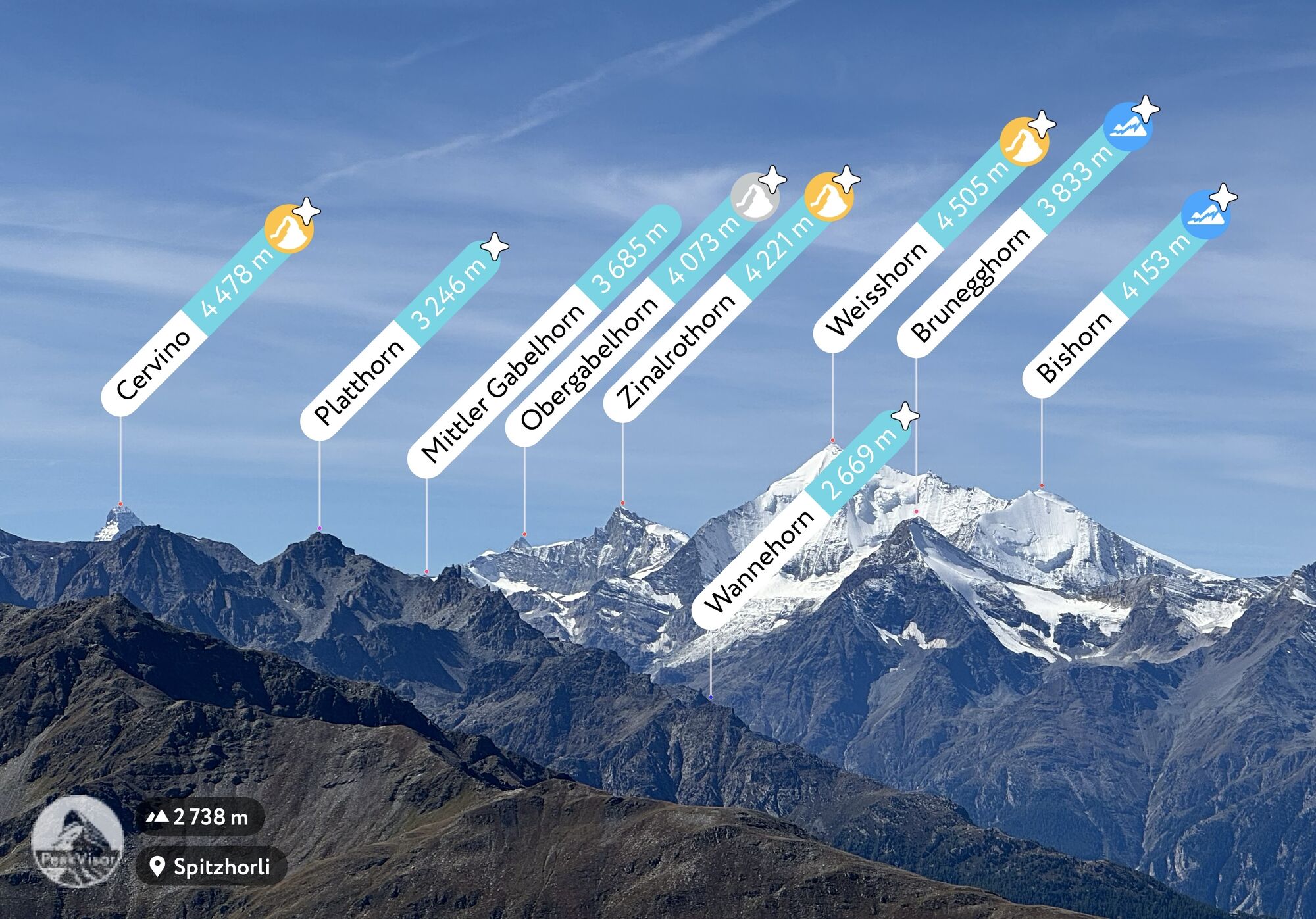
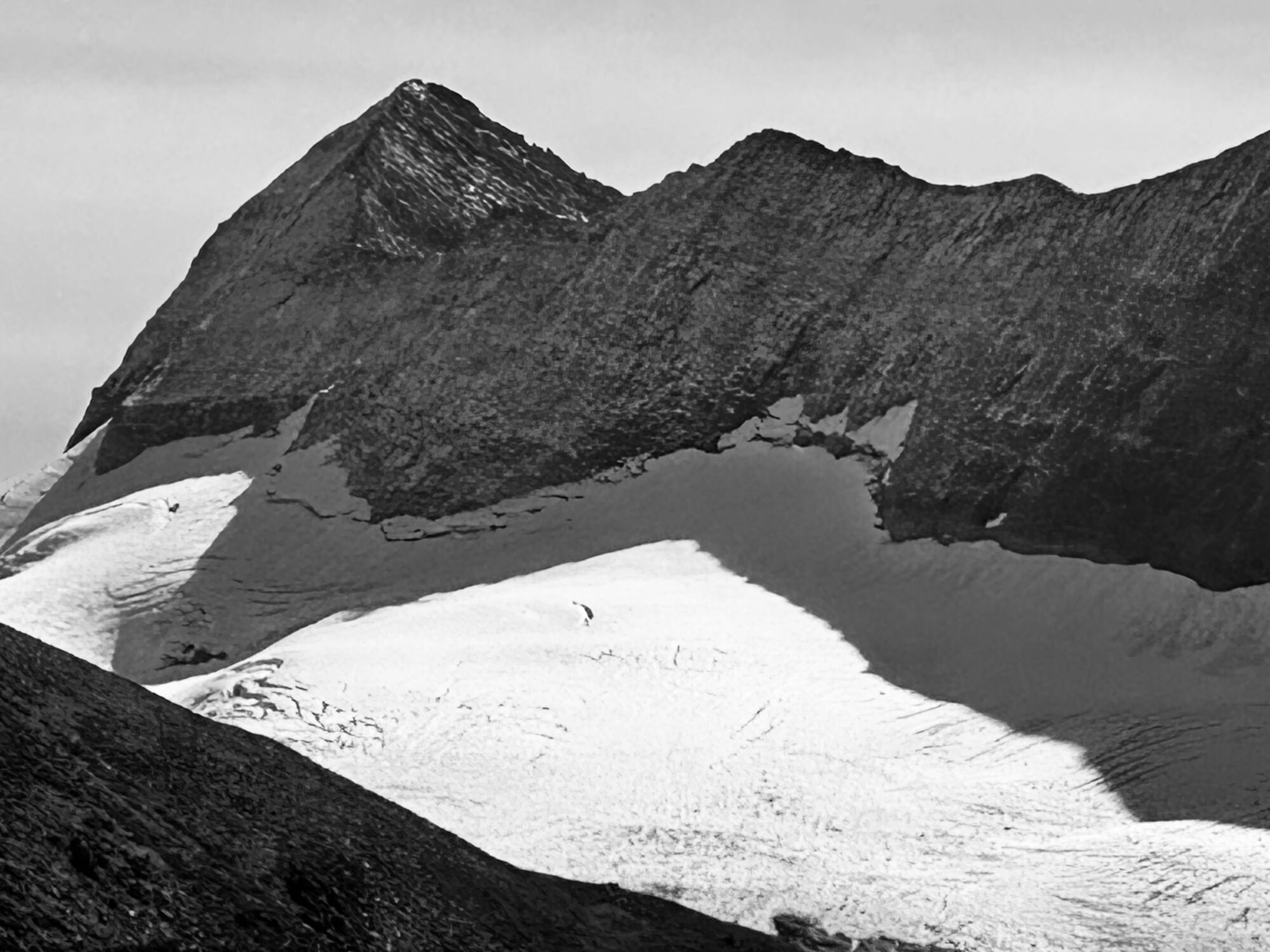
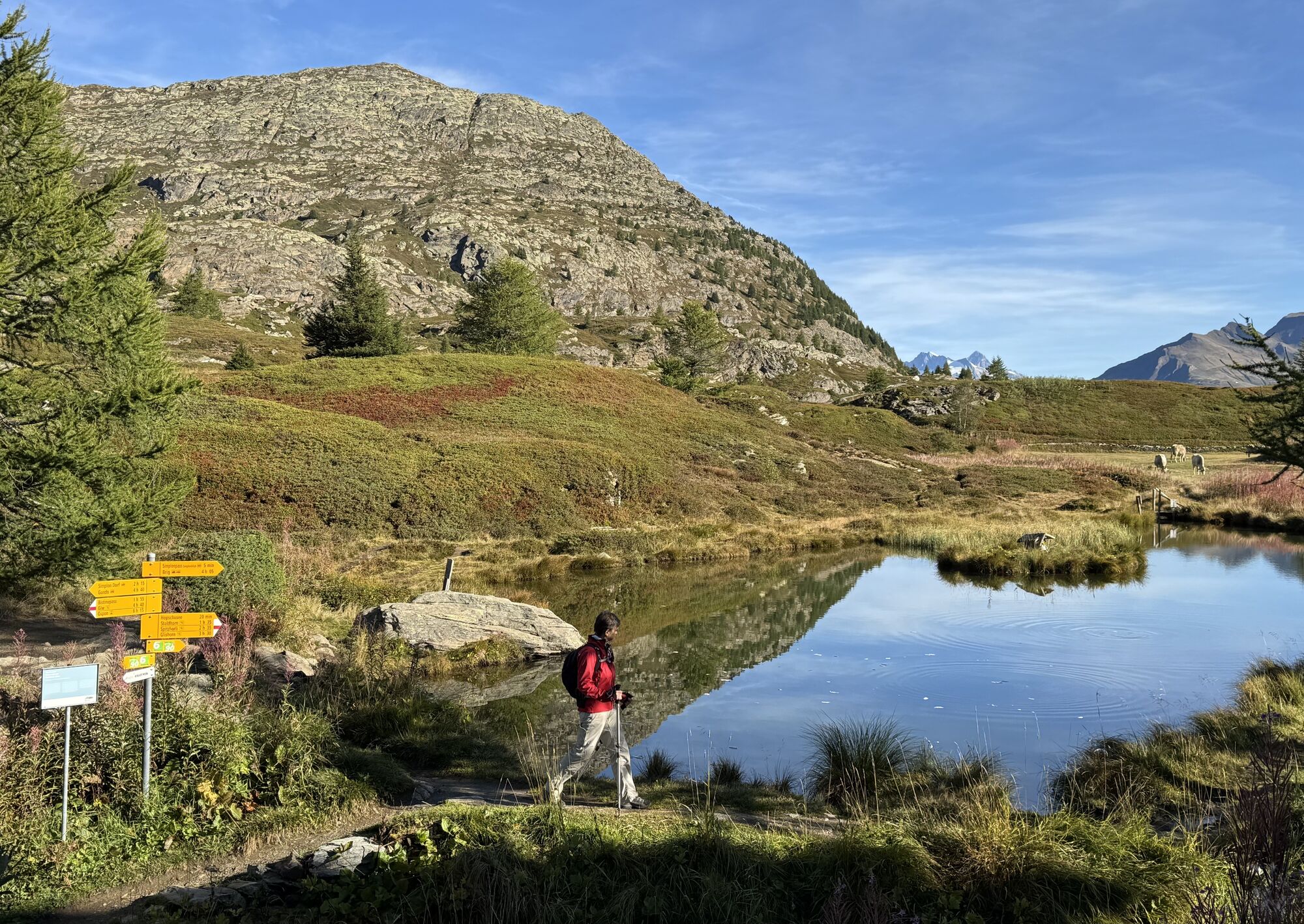
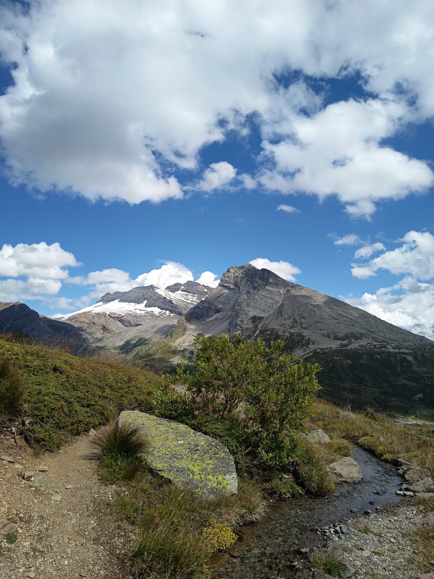
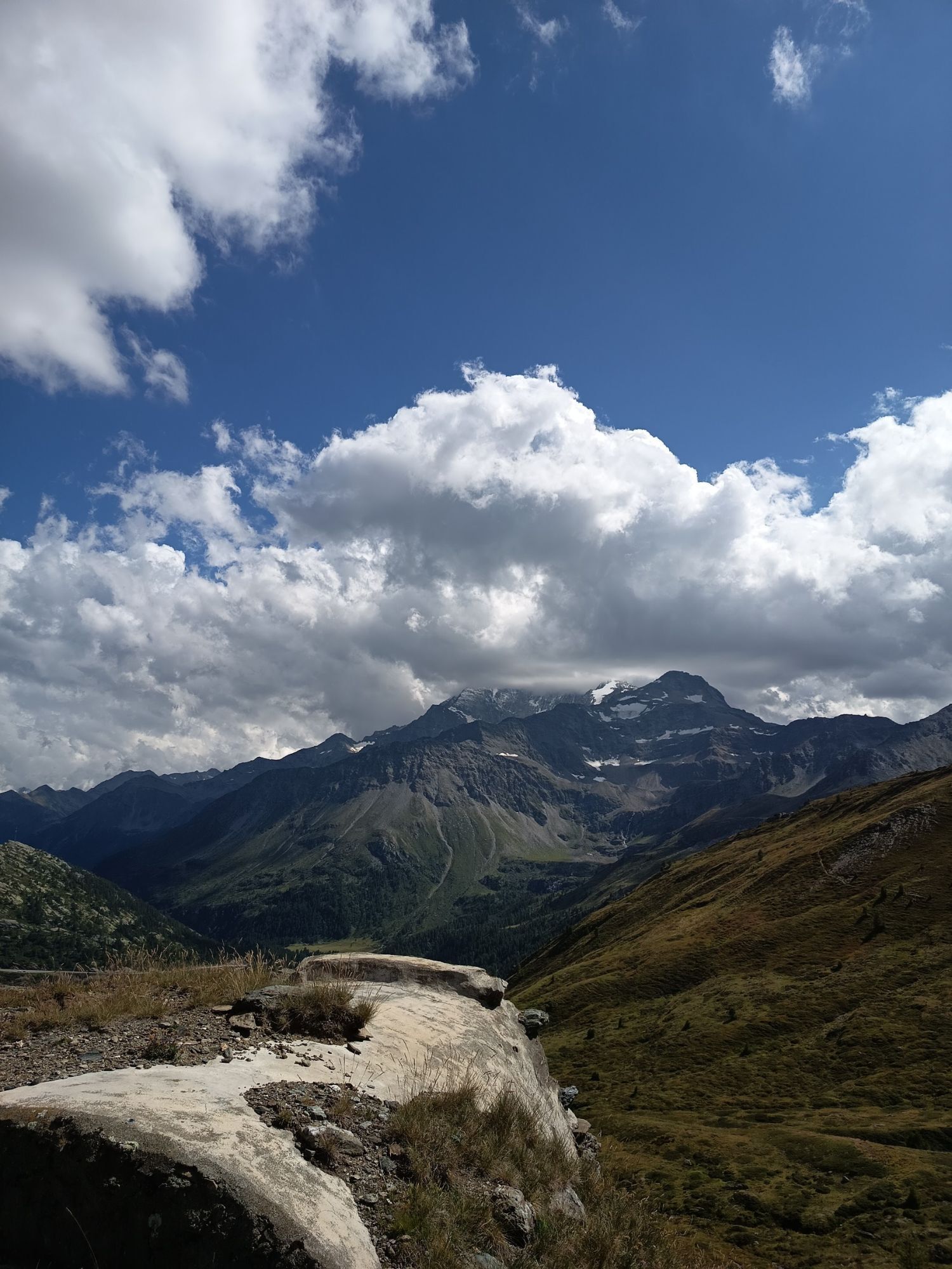
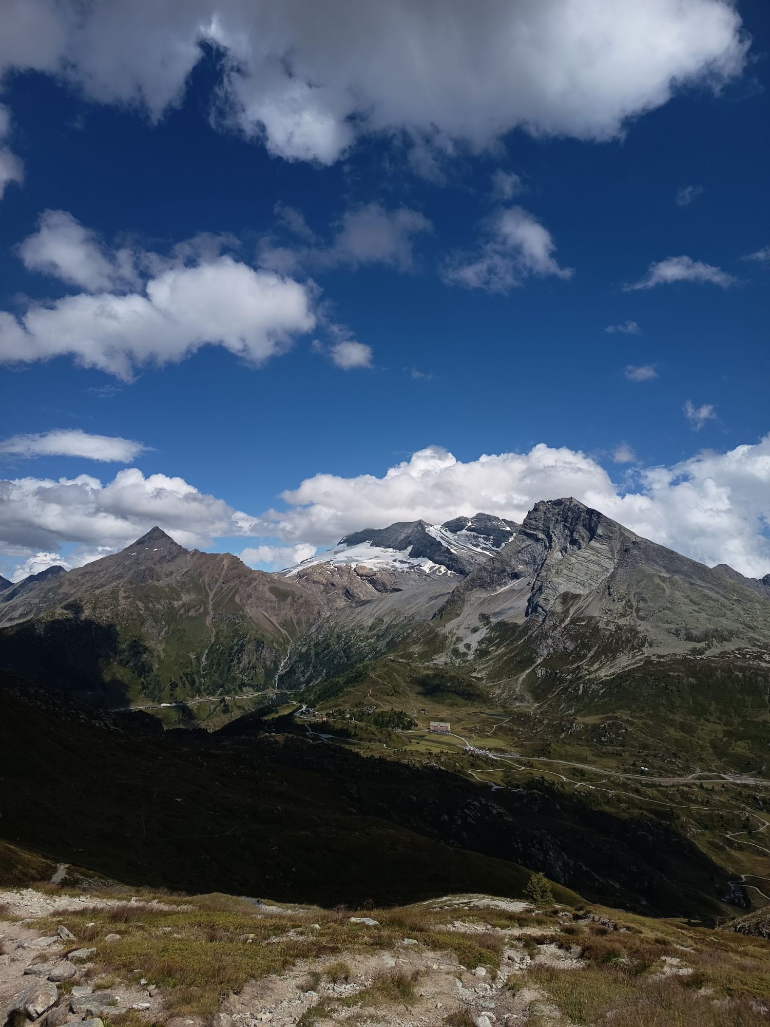
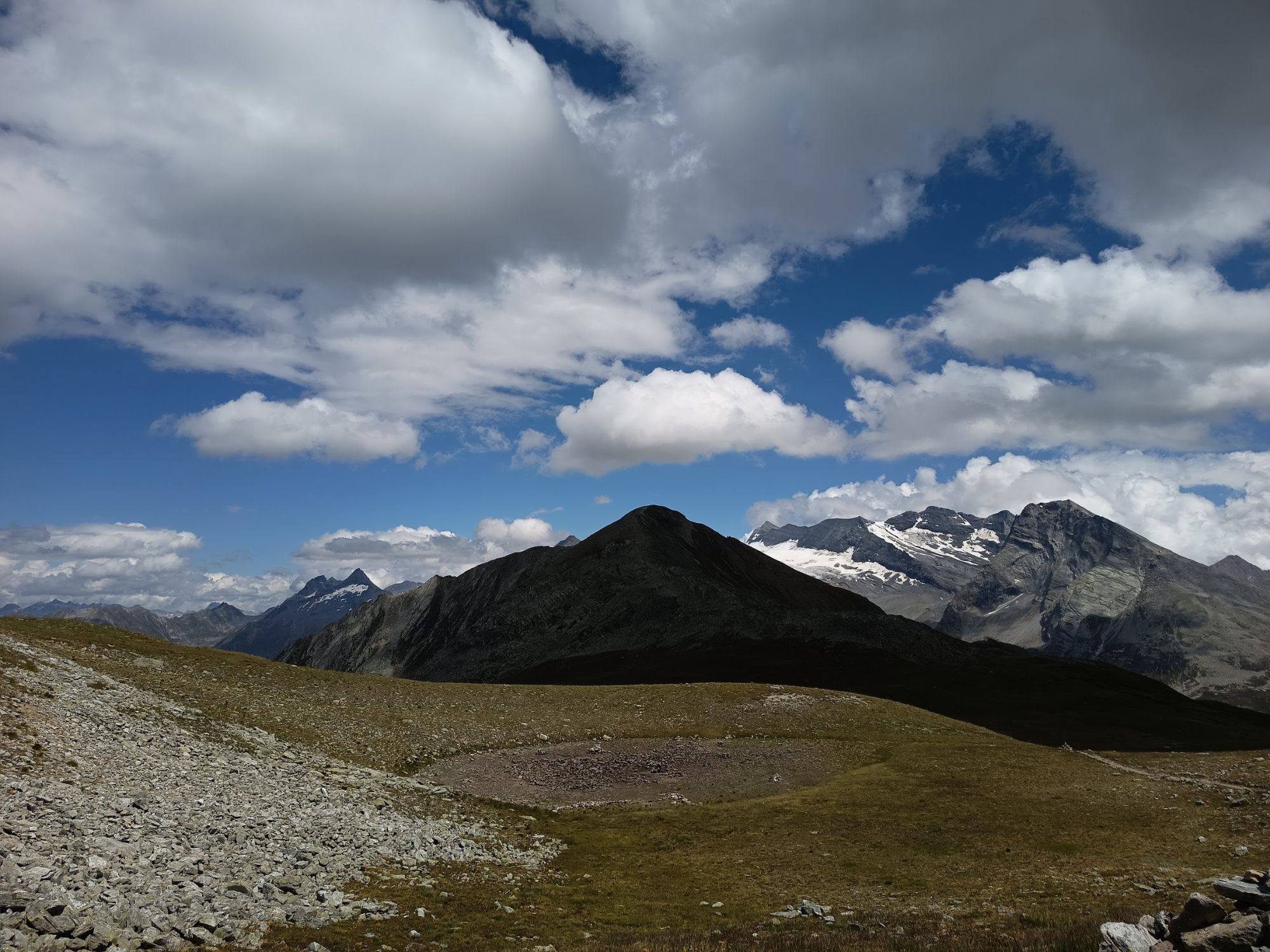
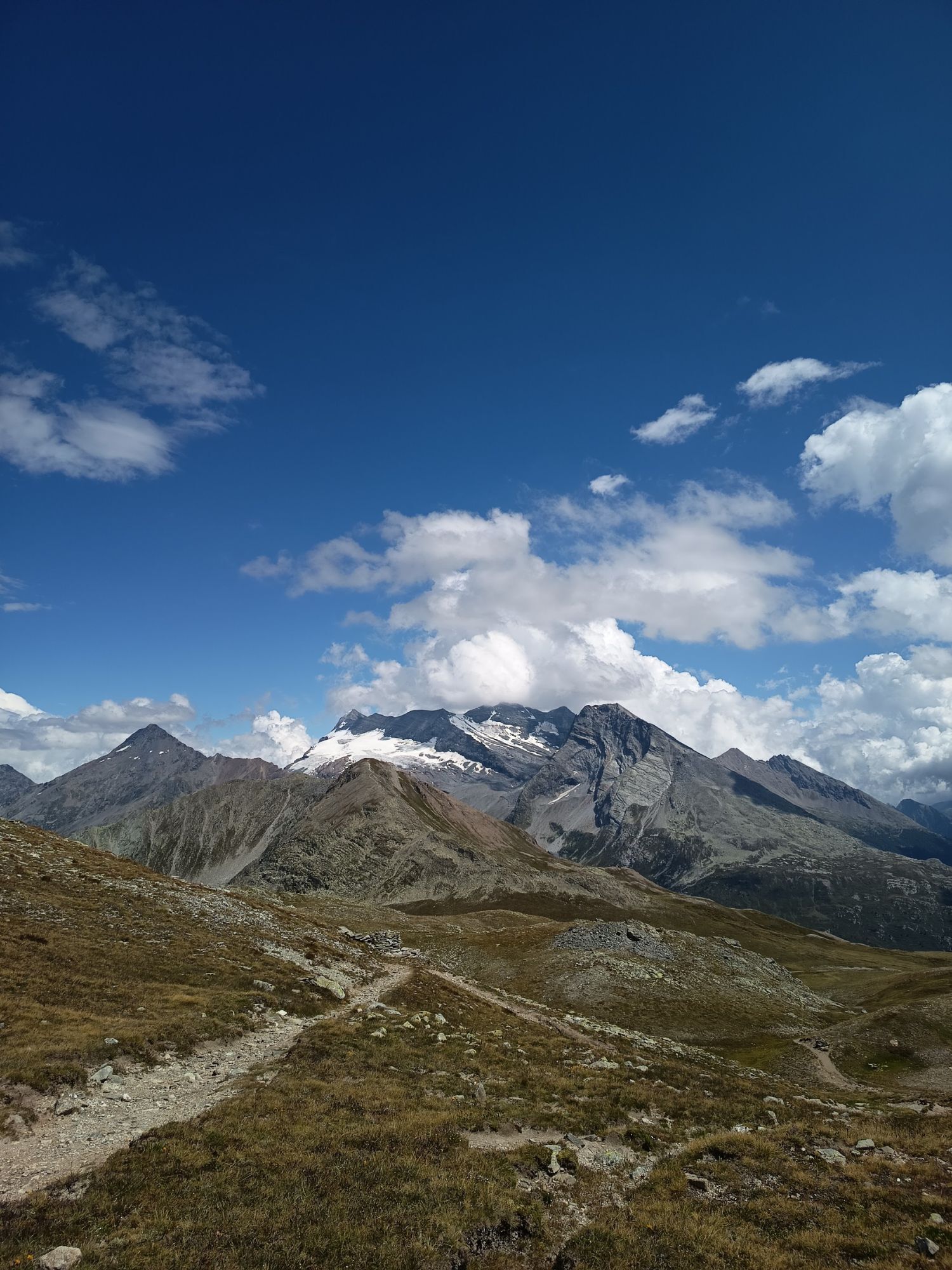
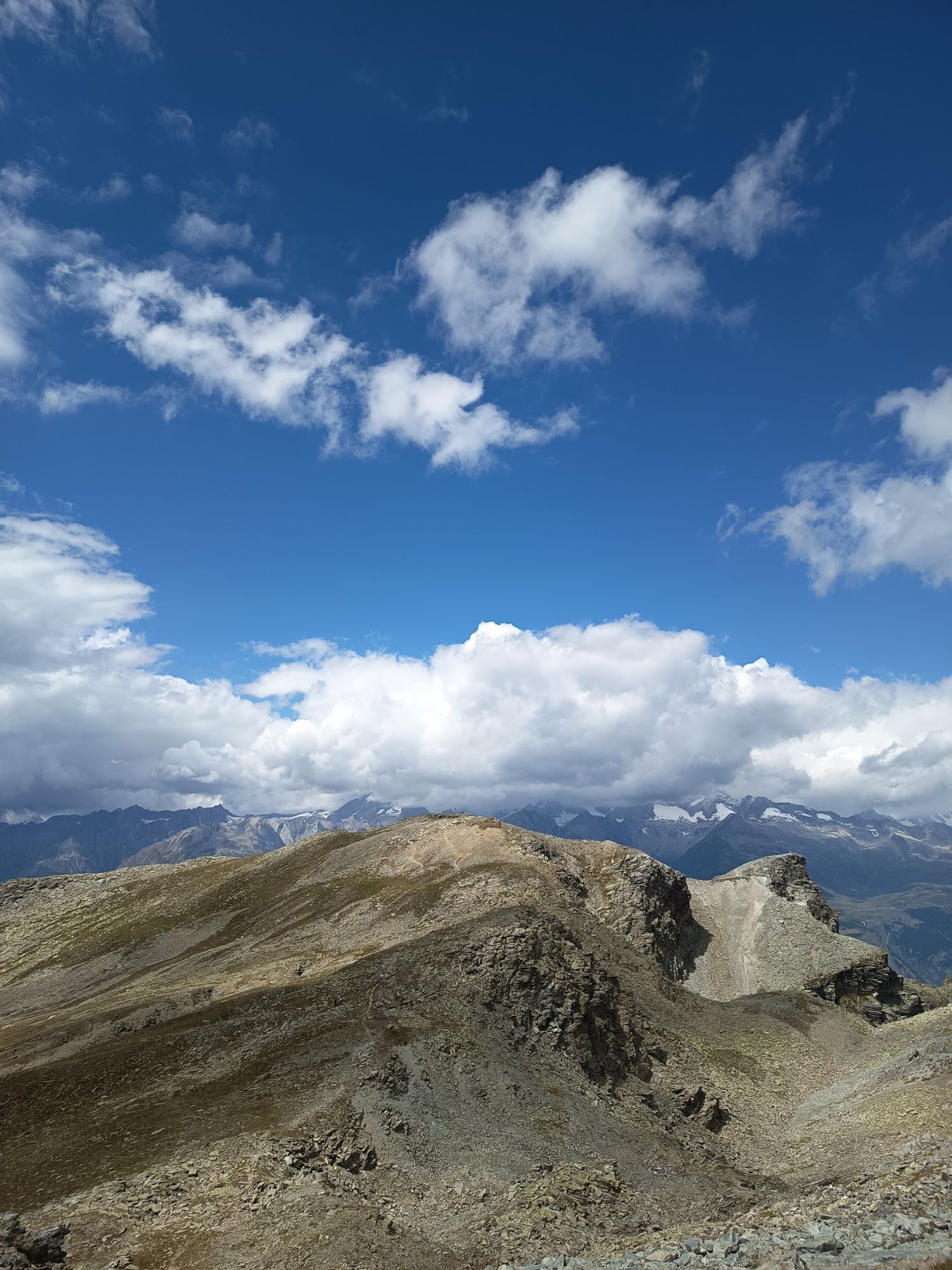
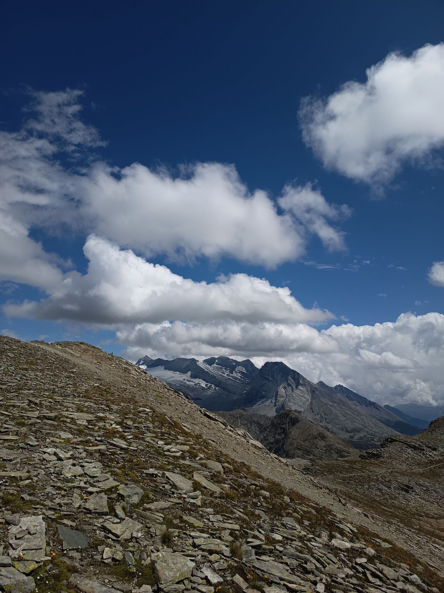
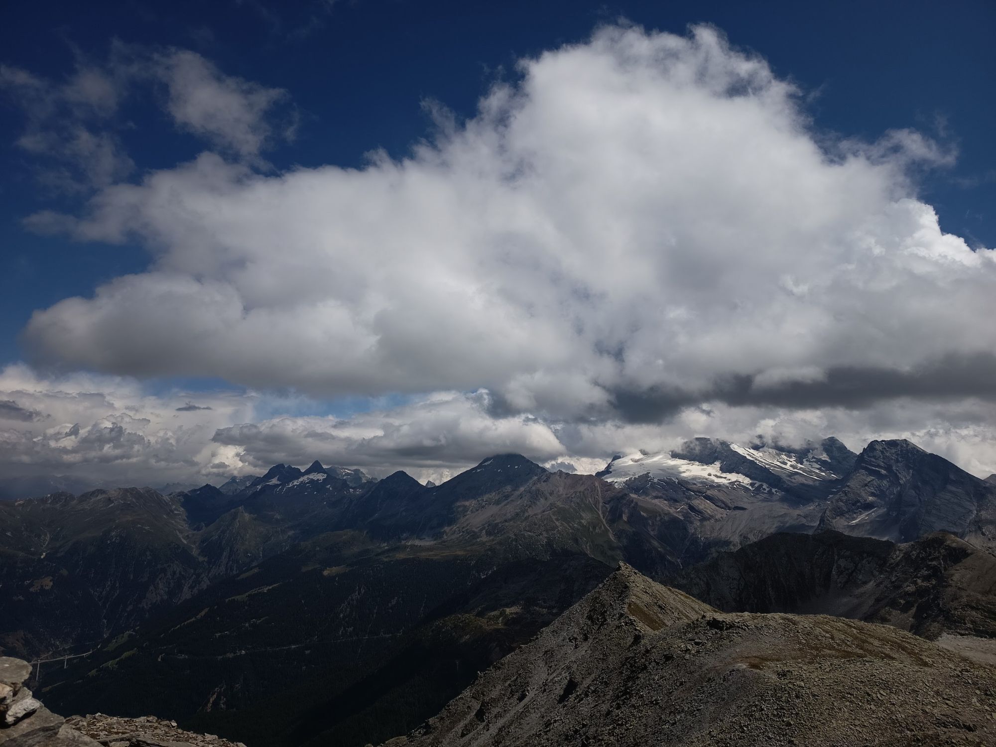
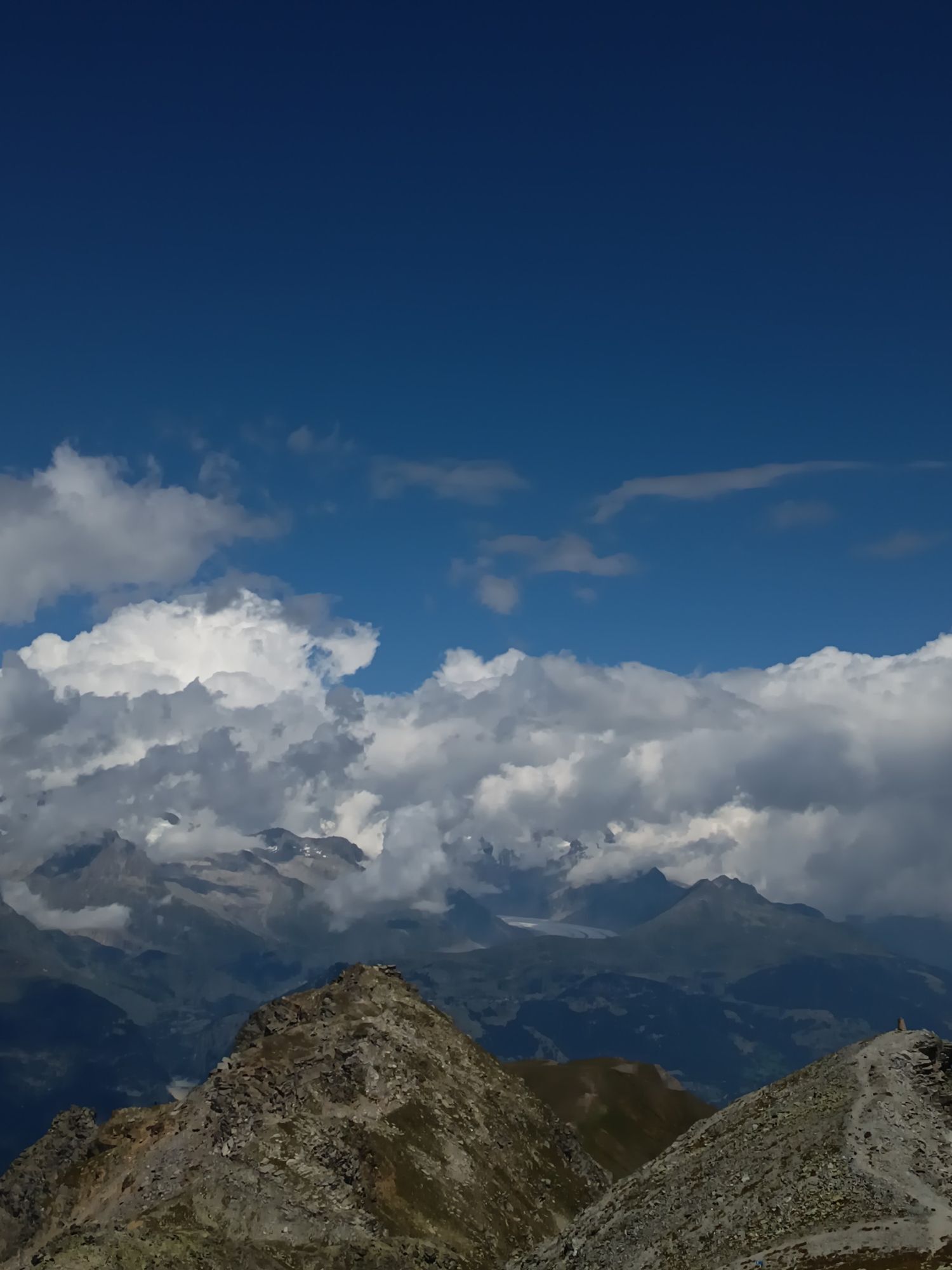
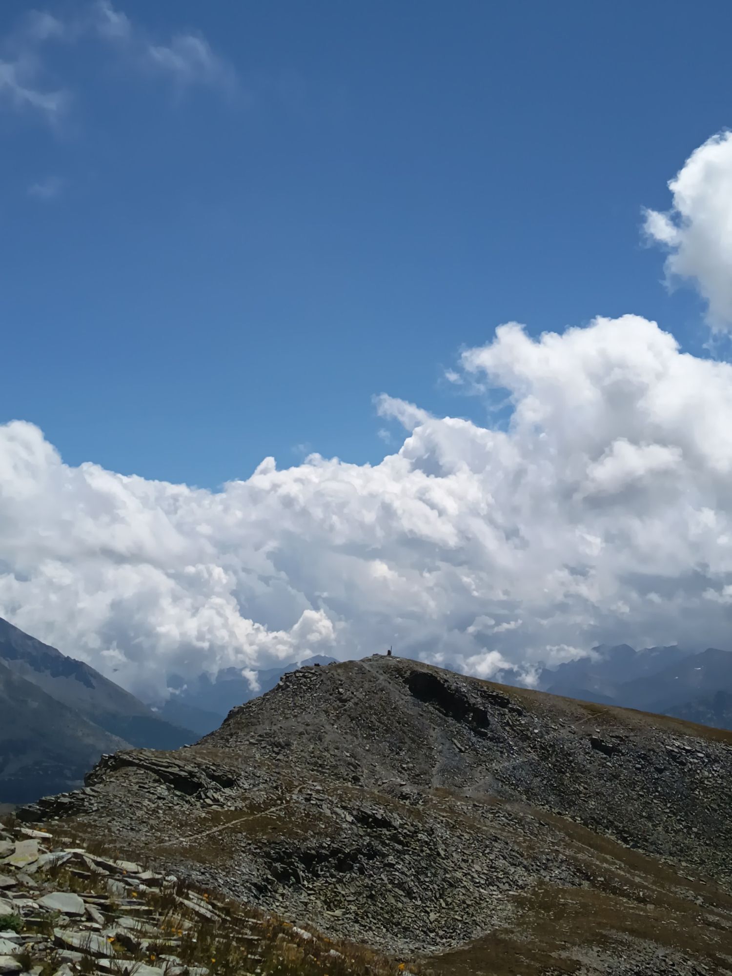
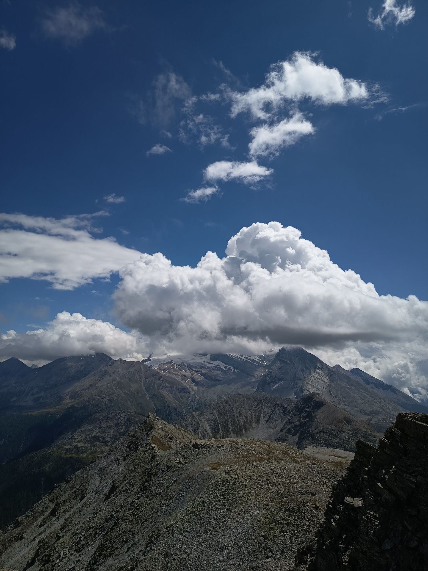
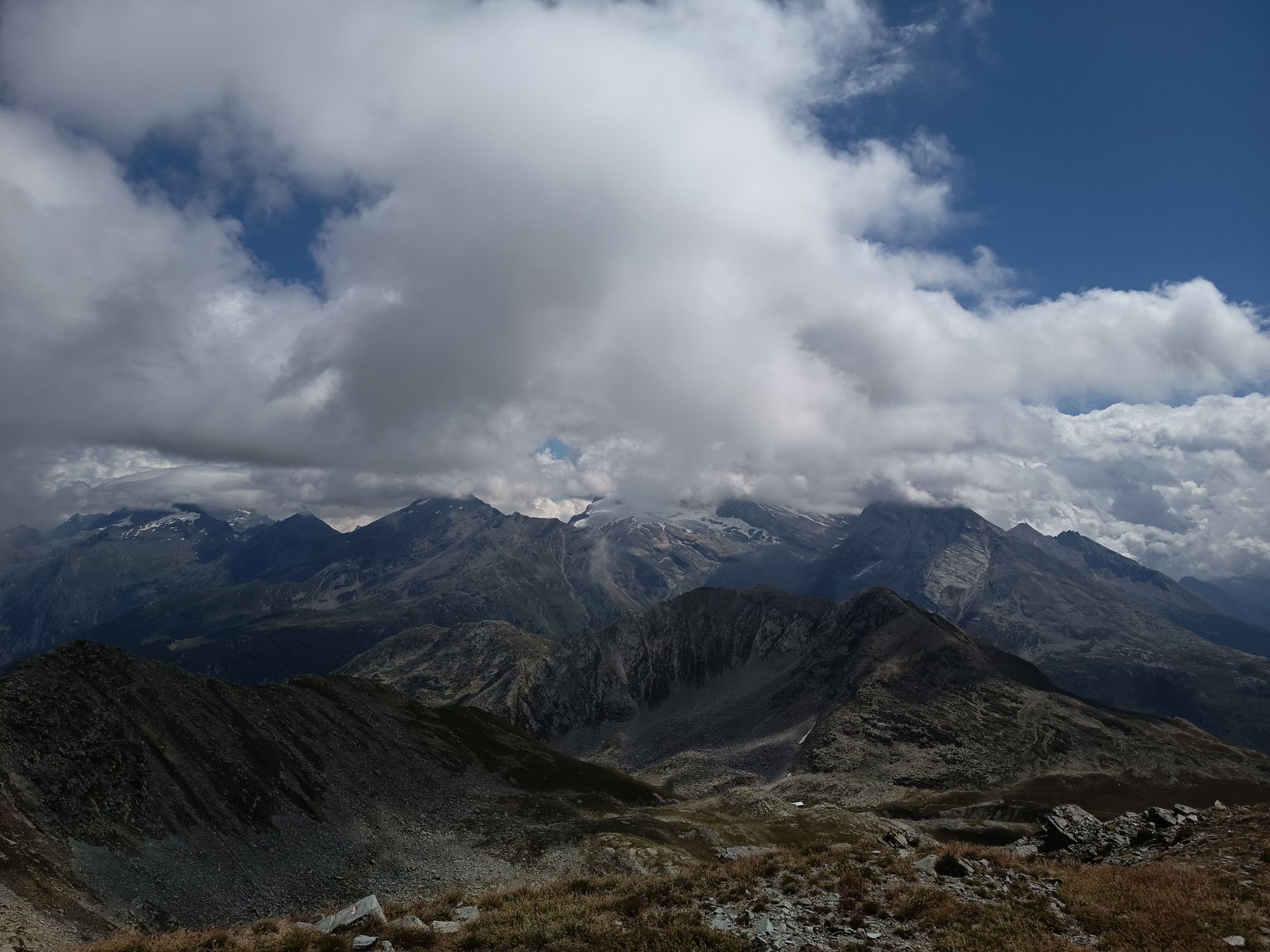
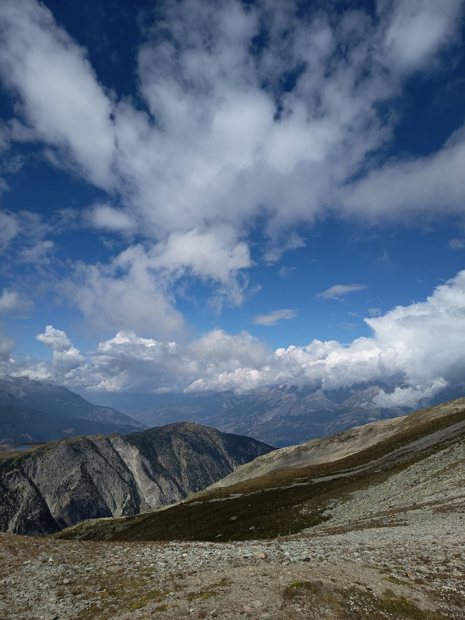
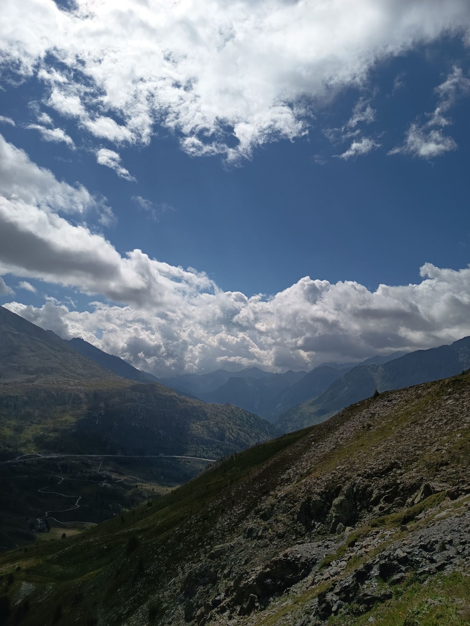
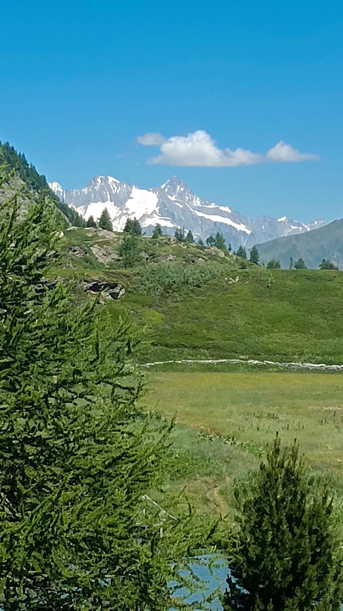
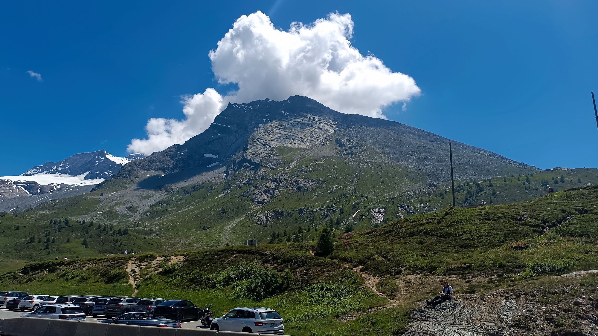
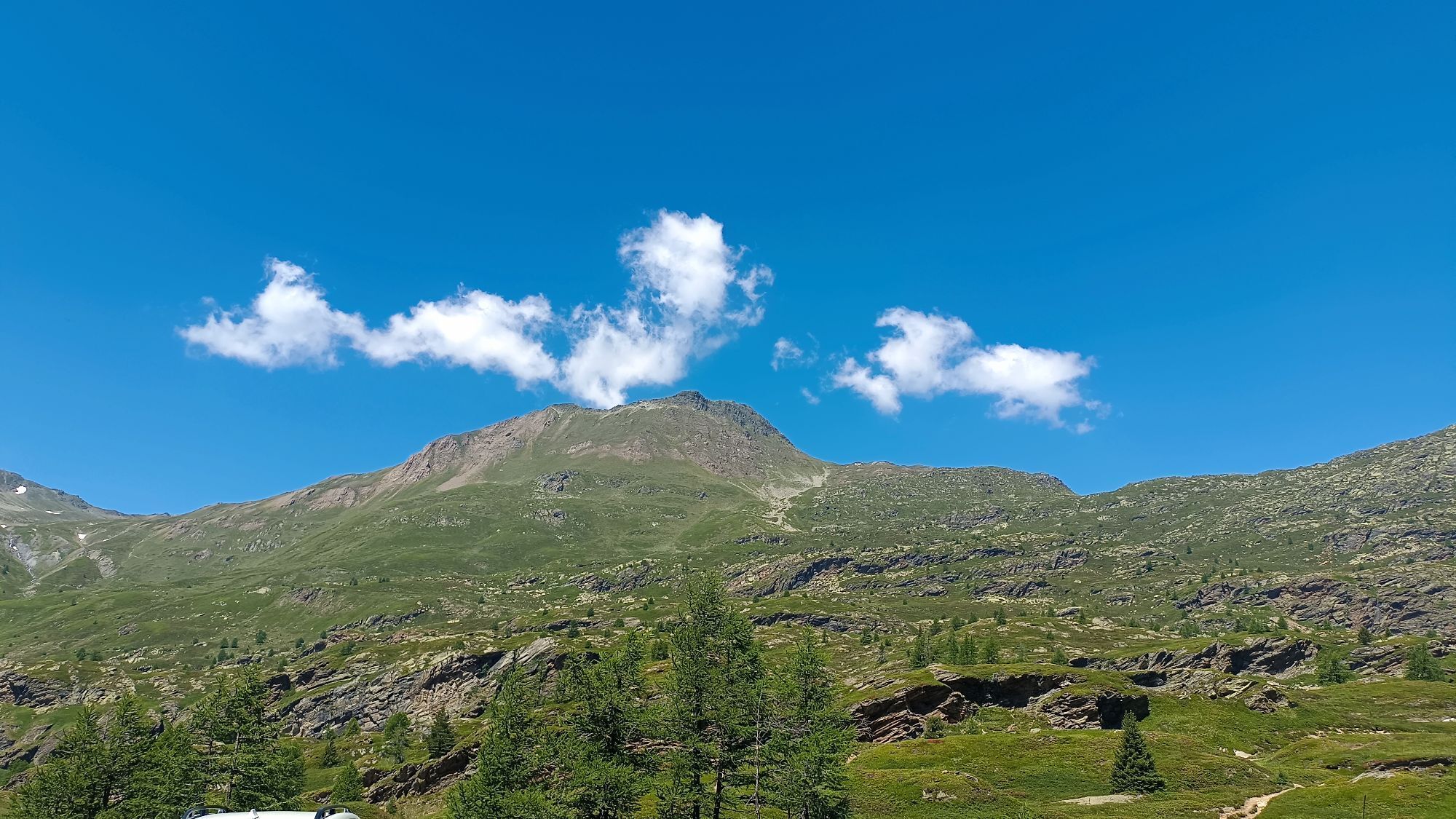
The Simplon Pass is an important route through the Alps connecting Switzerland and Italy between Brig and Domodossola. This circular trail run starts at Simplon Pass, this time for a less frequented adventure. You start at the height of the Simplonblick Hotel (2005 m) and ascend steeply to the Spitzhorli summit (2736 m), from where you have a view of the Bietschhorn, Lagginhorn, Weissmies, Monte Leone, and the Mischabel massif, a panorama accompanying you throughout the trail. Continue to Straffolsee and then towards Gspon, where you turn off at Sirwoltesattel. After descending, the circular route leads past waterfalls along the Stockalperweg, a well-preserved mule track from the 17th century. This leads you to Alten Spittel, the former hospice from 1650, and continues through meadows back to Simplon Pass.

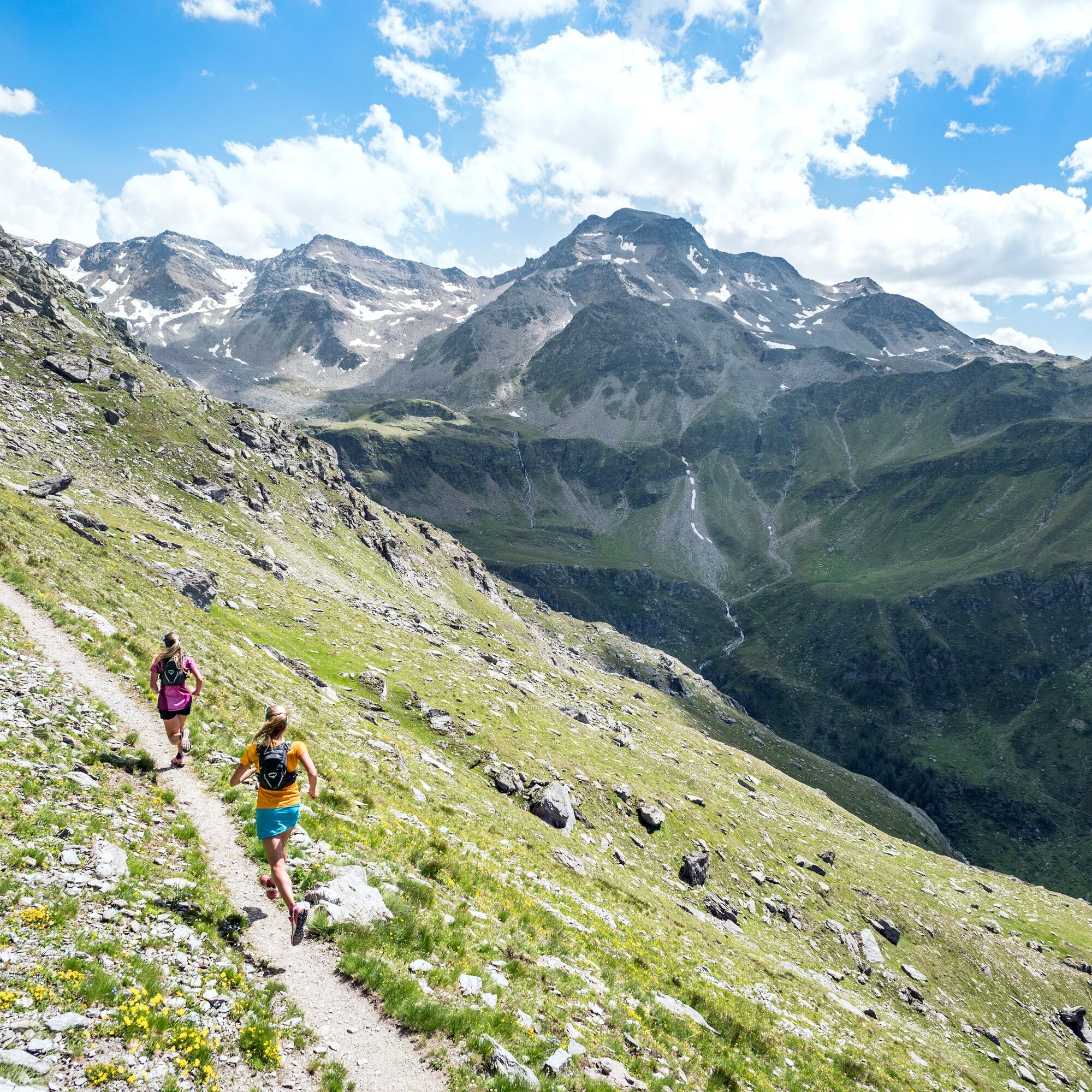
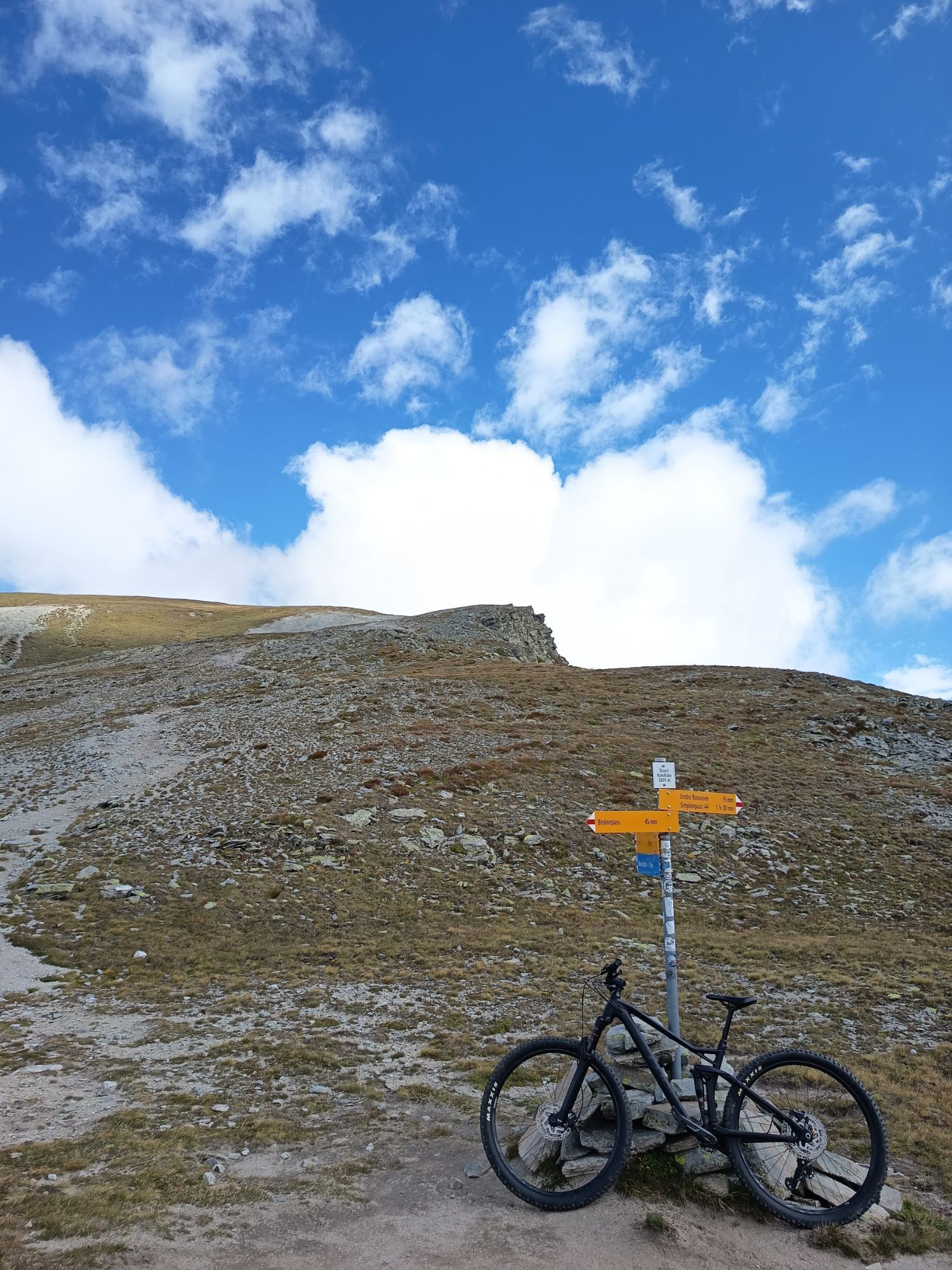
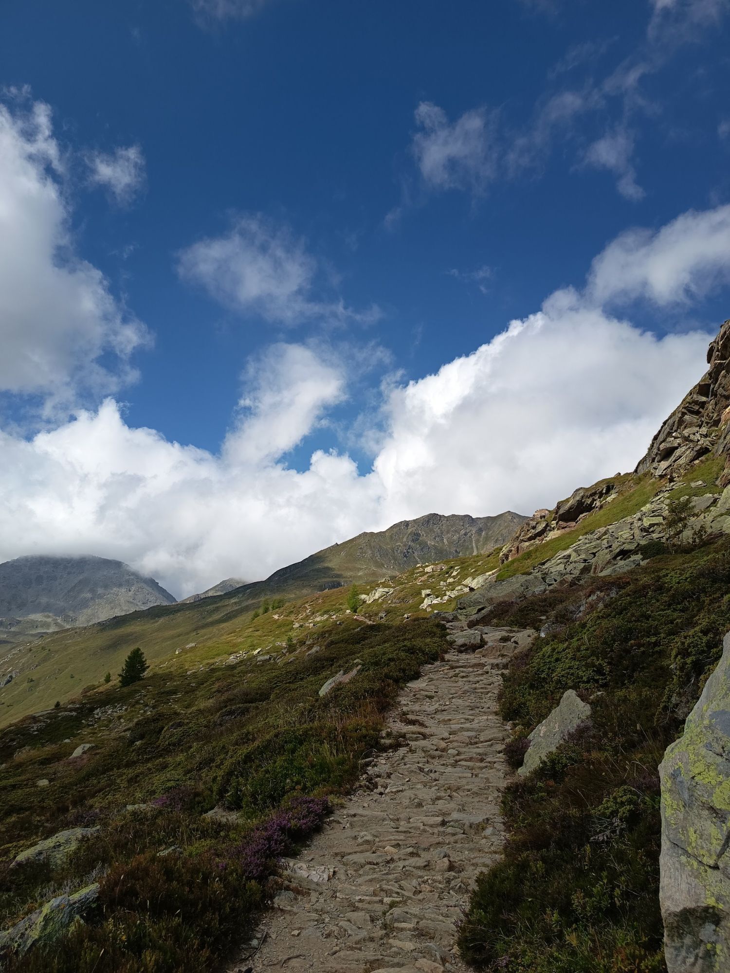
The path starts next to the Monte Leone restaurant on the Simplon Pass and ascends through Beschmoos to the Üsseri-Nanzlicke Pass. You reach the summit of Spitzhorli by walking a few more meters. Then return to Üsseri Nanzlicke and descend to Straffolsee. Climb again to Sirwoltesattel, where a steep and partly rocky slope leads to the few stone houses in the village of Chluismatte. Then you walk along Chrummbach to Nideralp. Follow the signs to Stockalperweg and cross the Alten Spittel before returning to the starting point.
Simplon, Monte Leone - Beschmoos - Üsseri Nanzlicke - Spitzhorli - Üsseri Nanzlicke - Straffolsee - Sirwoltesattel - Chluismatte - Nideralp - Alten Spittel - Simplon, Monte Leone
Ano
We recommend:
Good running shoes Weather-dependent clothing: always carry a waterproof vest Headwear Sunscreen Water bottle Trail polesUse of trail paths and information on this website is at your own risk. Local conditions may cause changes to the route. Valais/Wallis Promotion assumes no responsibility for the accuracy and completeness of the information on this website.
For all trails:
Use only marked trails and follow all signs and instructions - for your own safety, the protection of grazing animals, and respecting wildlife. Close gates after passing through. Be considerate towards other trail users, plants, and animals.For mountain trails:
Bring additional sun protection. UV rays can be very strong at high altitudes, even in cloudy weather. Plan your trail carefully, considering the required fitness level of all participants, weather forecasts, and seasonal conditions. Weather conditions in the mountains can change very quickly and without warning. Appropriate clothing and provisions (food and drink) are very important. In unstable weather, it’s better to turn back early. Inform your family about your trail route. Avoid going alone if possible. Observe warning signs indicating dangers near riverbanks, watercourses below dams and reservoirs: Water levels can rise quickly and without warning.Follow the A9/E62 towards Domodossola/Simplon
Take the train to Brig and from Brig the bus to Simplon, where you get off at the Monte Leone stop.
Free parking spaces are available at Simplon, Monte Leone.
More information about the destination:
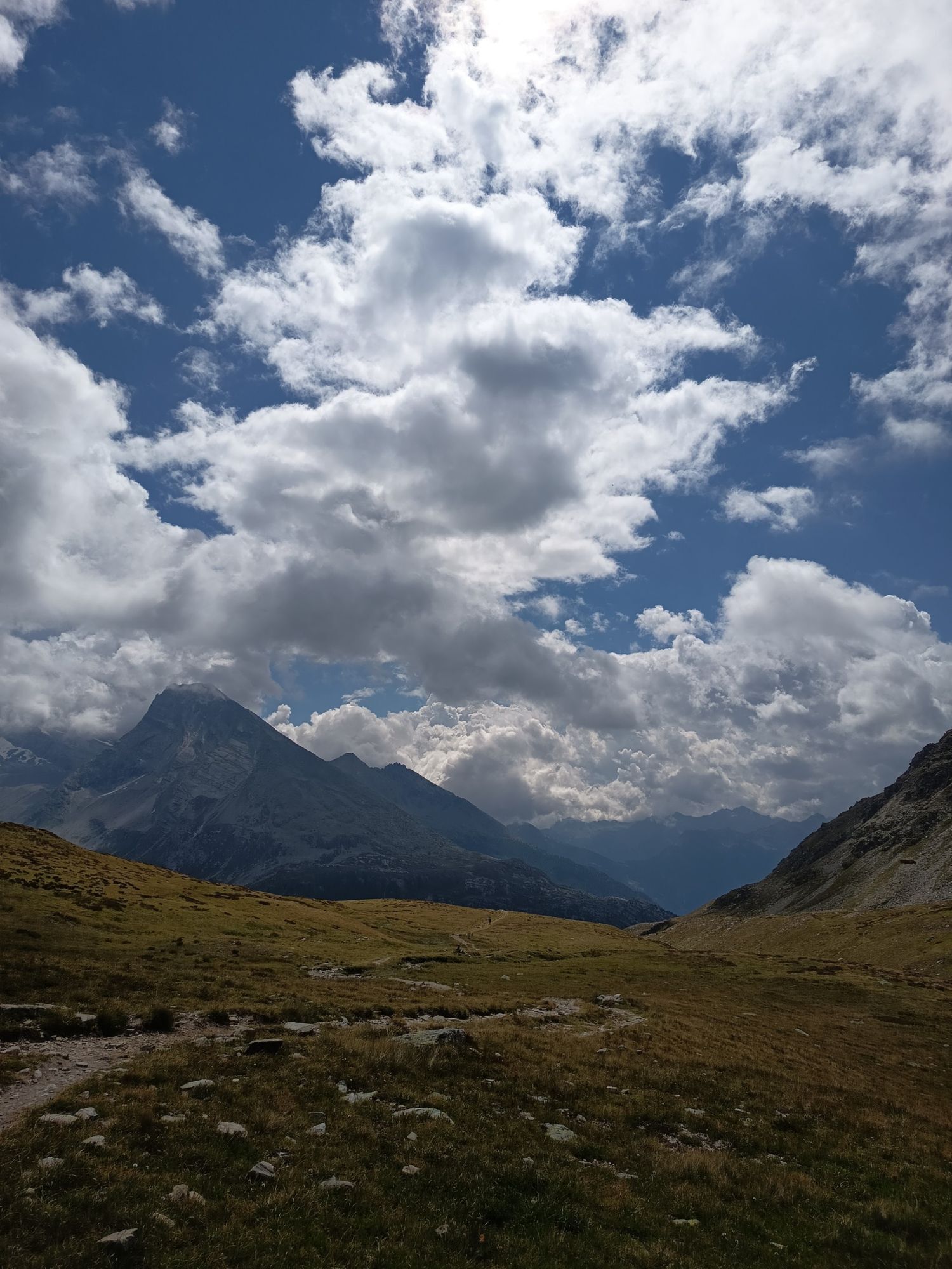
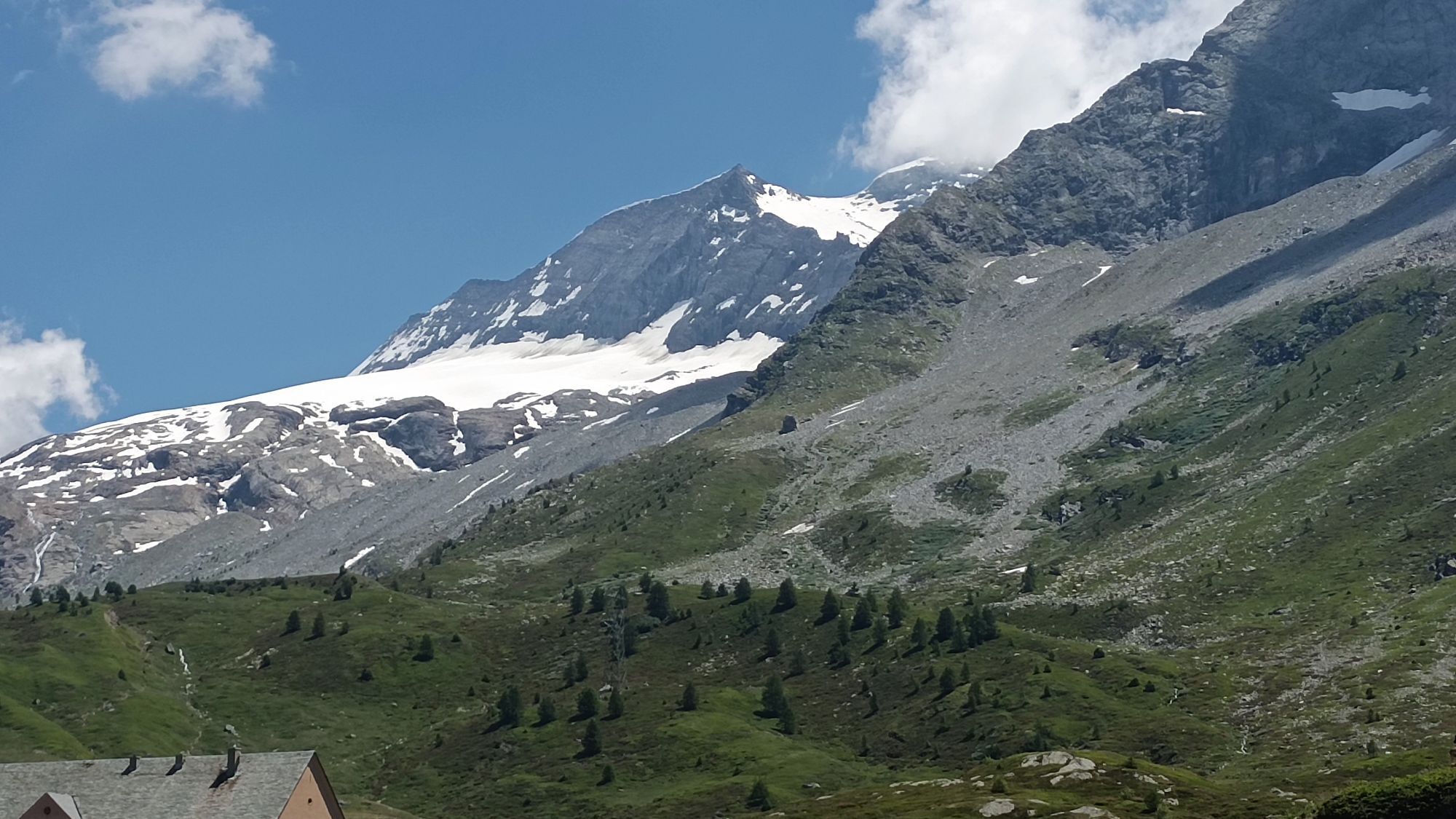
The Bietschhorn lies directly behind you for most of the route. Don't forget to stop and enjoy the view.
Webové kamery z prohlídky

Oblíbené prohlídky v okolí
-
3.6
Höhenweg Kreuzboden - Almagelleralp - Saas-Almagell
Turistika 9.74 km -
5.0
Moosalp Panoramaweg
světloTuristika 6.36 km -
3.8
Höhenweg Saas-Fee - Grächen
Turistika 12.0 km -
5.0
Weissmies Südgrat von Saas Almagell
středníVysokohorská turistika 20.5 km -
5.0
Via ferrata Jägihorn
heavyVia ferrata 6.14 km -
CIRCULAR HIKE MASSEGGA SUSPENSION BRIDGE
světloTuristika 6.44 km -
4.6
Gspon high-altitude route
středníTuristika 13.9 km -
5.0
Mountain trail Kreuzboden - Hohsaas
středníTuristika 4.65 km -
5.0
Panoramaweg Visperterminen
světloTuristika 9.72 km -
SUONEN CIRCULAR HIKE GREDETSCHTAL
středníTuristika 7.45 km
Pěší turistika a stopování


Nenechte si ujít nabídky a inspiraci pro vaši příští dovolenou
Vaše e-mailová adresa byl přidán do poštovního seznamu.