







Lötschenlücke
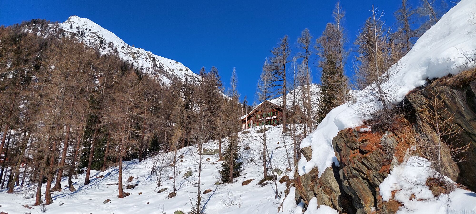
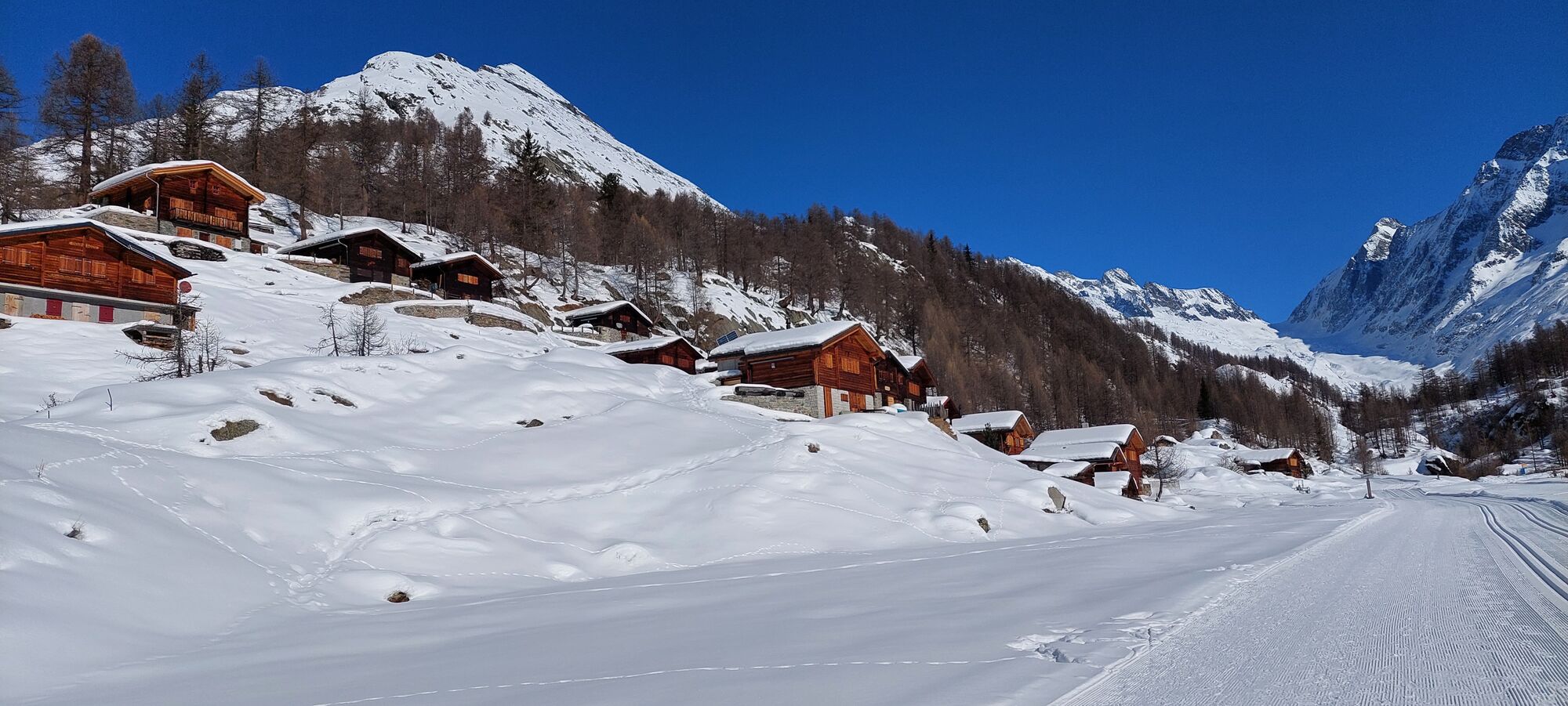
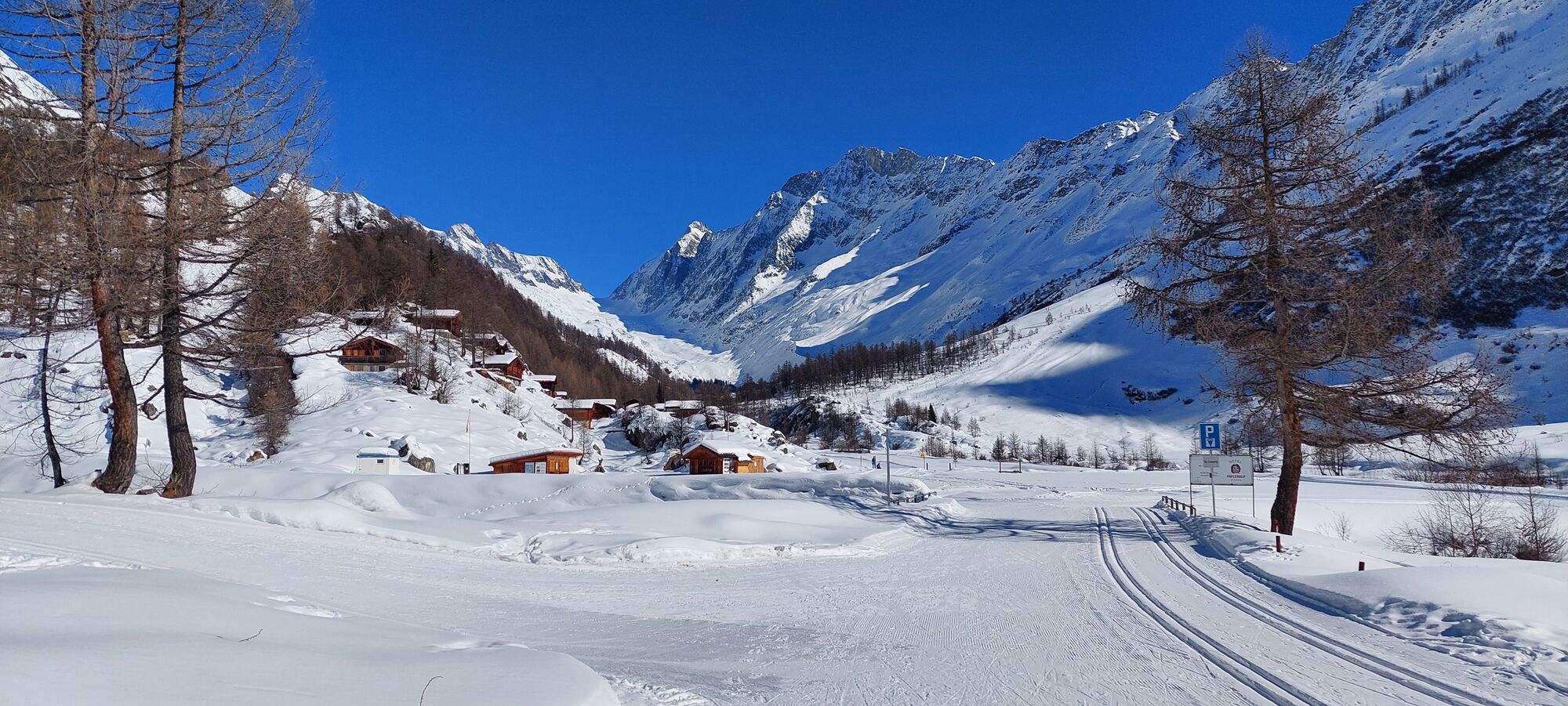
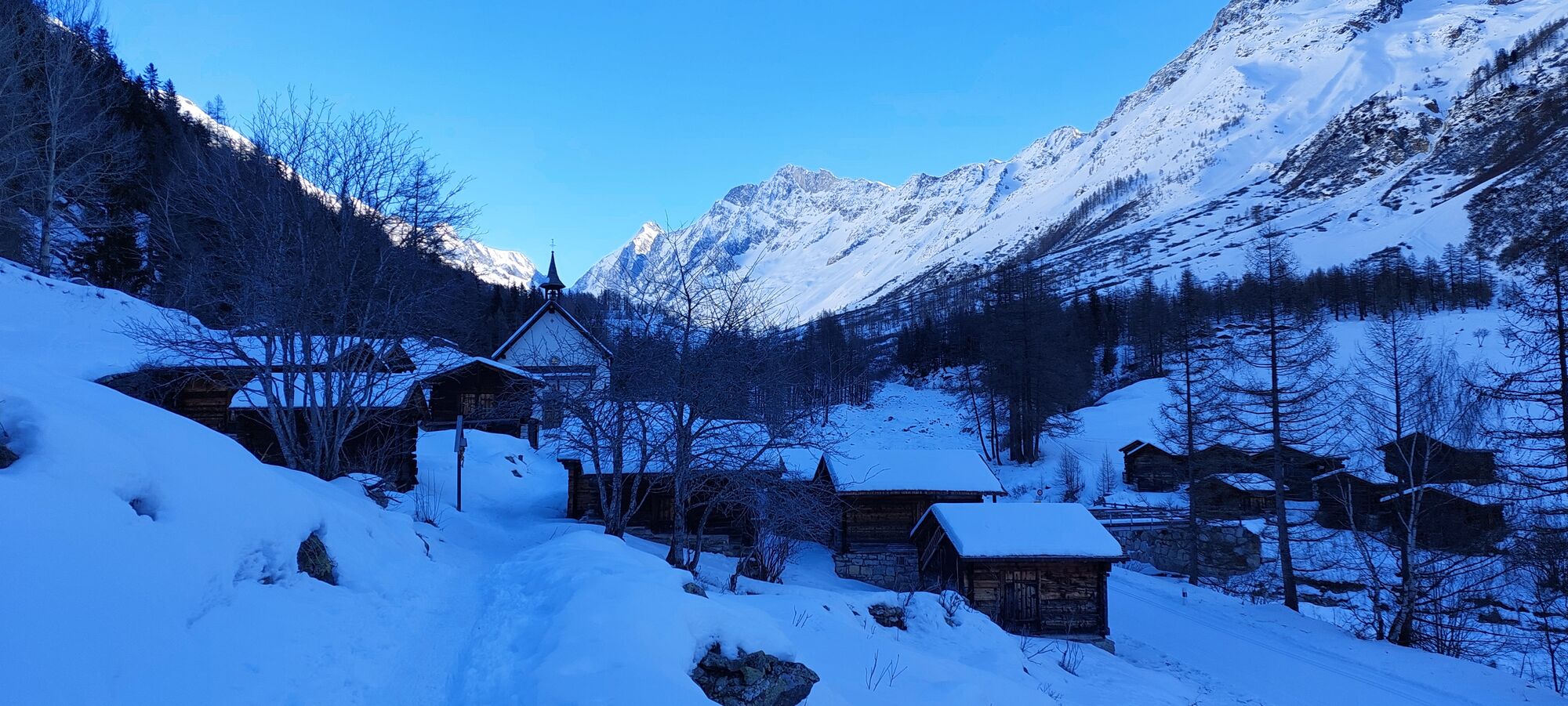
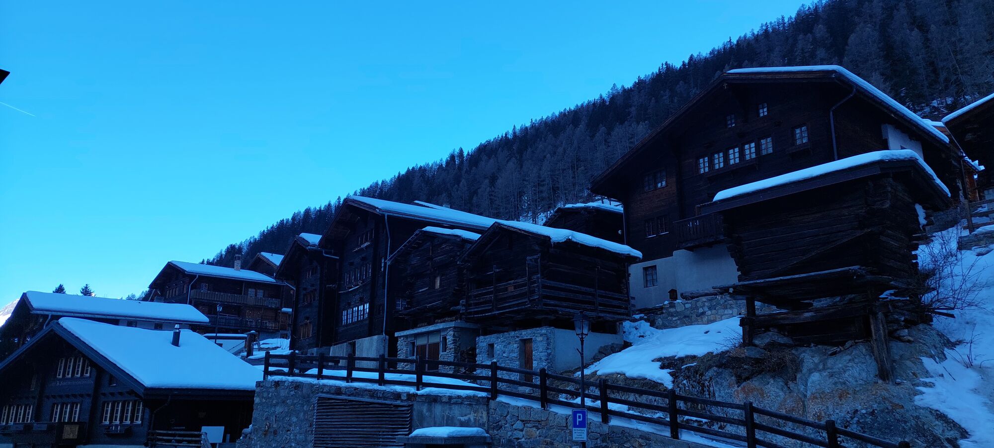
This absolutely wonderful route is for all connoisseurs among ski tourers and leaves nothing to be desired. The ascents are easy and the descents long in a uniquely scenic area. Especially worth mentioning...
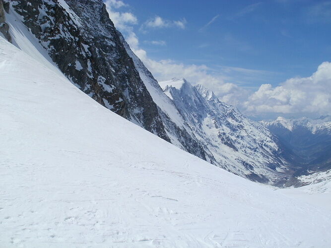
You start your route at Jungfraujoch and first enjoy the descent to Konkordiaplatz. Here the skins are put on and the nearly 6 km long ascent to Lötschenlücke begins. Upon arrival at the Lötschenlücke, a detour to the Hollandiahütte is recommended. Afterwards, you enjoy the descent over the Langgletscher to Fafleralp and, with sufficient snow conditions, even to Blatten.

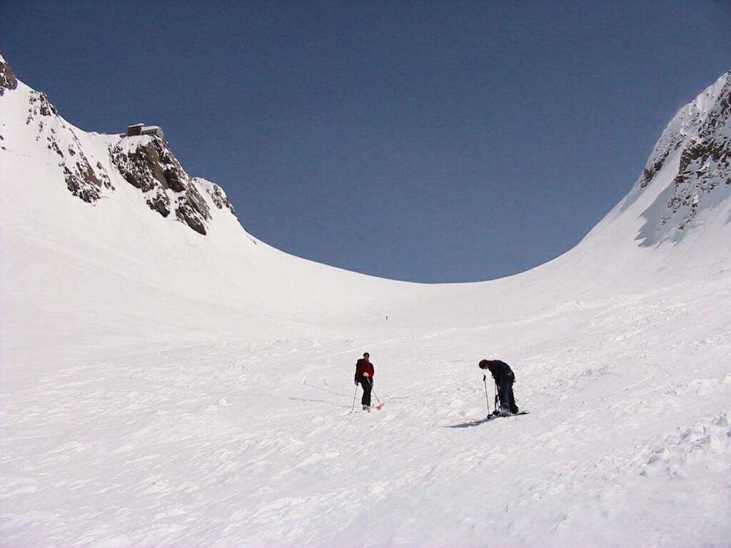
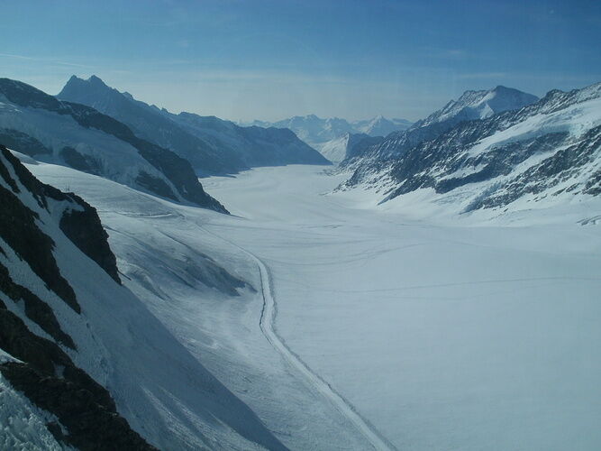

Jungfraujoch - Lötschenlücke - Ganderre - Fafleralp - Blatten
Ano
A complete glacier equipment is mandatory.
Ski route map Jungfrau 264S - The ski routes in the Lötschental are marked on the 1:50,000 topographic map, which are described in more detail in the SAC guidebook. Available at the Lötschental information center in Wiler or online
We recommend a state-certified mountain guide for every ski route
Plan each route carefully
Pay attention to suitable and complete equipment
Never go alone on a route
Inform relatives, acquaintances, the hut warden, or the hotel porter about your route. Check in again upon arrival at your destination
Constantly observe the weather developments
Follow the principle: when in doubt, turn back!
Interlaken Ost
You reach Interlaken by car from Basel/Zurich/Geneva via Bern or Lucerne/Brünig.
Lauterbrunnen/Grindelwald
Once in Interlaken, you can drive by car to Lauterbrunnen or Grindelwald. Follow the road signs.
Kleine Scheidegg
In Lauterbrunnen, Grindelwald, or Grindelwald Grund you can transfer to the Wengernalp railway to Kleine Scheidegg.
Jungfraujoch
At Kleine Scheidegg you transfer to the Jungfrau railway, which takes you in about an hour to Jungfraujoch – Top of Europe.
Interlaken Ost
You can reach Interlaken Ost directly by Intercity trains from Basel/Zurich. The trains run hourly.
Lauterbrunnen/Grindelwald
At Interlaken Ost you can transfer to the regional train to Lauterbrunnen/Grindelwald. Please observe the signs on the cars.
Kleine Scheidegg
In Lauterbrunnen and Grindelwald you can transfer to the Wengernalp railway to Kleine Scheidegg.
Jungfraujoch
At Kleine Scheidegg you transfer to the Jungfrau railway, which takes you in about an hour to Jungfraujoch – Top of Europe.
Interlaken Ost
At Interlaken Ost there is the possibility to leave your car at the station for a day against a parking fee.
Lauterbrunnen/Grindelwald
In Lauterbrunnen you can leave your car in the Lauterbrunnen parking garage for one or several days. Reservations are possible online. In Grindelwald village parking options are limited. It is best to park in Grindelwald-Grund. Follow the road signs leading to Grindelwald-Grund and the Wengernalp railway station.
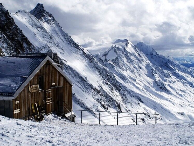
The Hollandiahütte virtually:
3,235 m above sea level
Accommodation for 80 people
Starting point for Äbeni Flue, Mittaghorn, Aletschhorn, and many more
Hut phone: Tel. +41 (0)27 939 11 35
Property of the SAC section Bern
For this route, our mountain guides in the Lötschental are recommended:
Jaggy Benedikt Tel. +41 (0)79 774 83 20
Fleck Lutz Tel. +41 (0)79 629 47 33
 Získejte přehled
Vždy živě na místě s více než 9 500 webkamerami. bergfex Jako uživatel Pro si nyní můžete zobrazit odpovídající webové kamery pro mnoho prohlídek v aplikaci prohlídky z. Můžete si tak přímo prohlédnout aktuální podmínky.
Získejte přehled
Vždy živě na místě s více než 9 500 webkamerami. bergfex Jako uživatel Pro si nyní můžete zobrazit odpovídající webové kamery pro mnoho prohlídek v aplikaci prohlídky z. Můžete si tak přímo prohlédnout aktuální podmínky.
Oblíbené prohlídky v okolí
-
4.8
Lötschentaler Höhenweg
světloTuristika 9.17 km -
5.0
Kleine Scheidegg - Eigergletscher - Alpiglen (37 Jungfrau Eiger Walk + 36 Eiger Trail)
středníTuristika 9.61 km -
5.0
BELALP - SPARRHORN
heavyTuristika 11.2 km -
4.8
SUSPENSION BRIDGE RIEDERALP - BELALP
středníTuristika 11.5 km -
UNESCO Höhenweg
Turistika 3.70 km -
5.0
Rundwanderung Anenhütte
středníTuristika 10.2 km -
4.7
Northface Trail
Turistika 5.38 km -
4.0
Panoramaweg über den Aletschgletscher
středníTuristika 17.7 km -
5.0
Durch das Lauterbrunnental
světloTuristika 15.1 km -
Via ferrata Mürren
středníVia ferrata 2.20 km
Pěší turistika a stopování


Nenechte si ujít nabídky a inspiraci pro vaši příští dovolenou
Vaše e-mailová adresa byl přidán do poštovního seznamu.





