


Moiry - Dam Trophy
Úroveň obtížnosti: 5
Your ascent begins in Chippis, a small village on the Rhone. A small road leads you near the Suone of Ricard to Brie. Then it climbs above Siders for several kilometers before joining the main road leading...
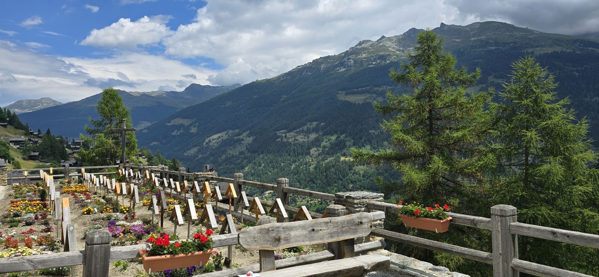
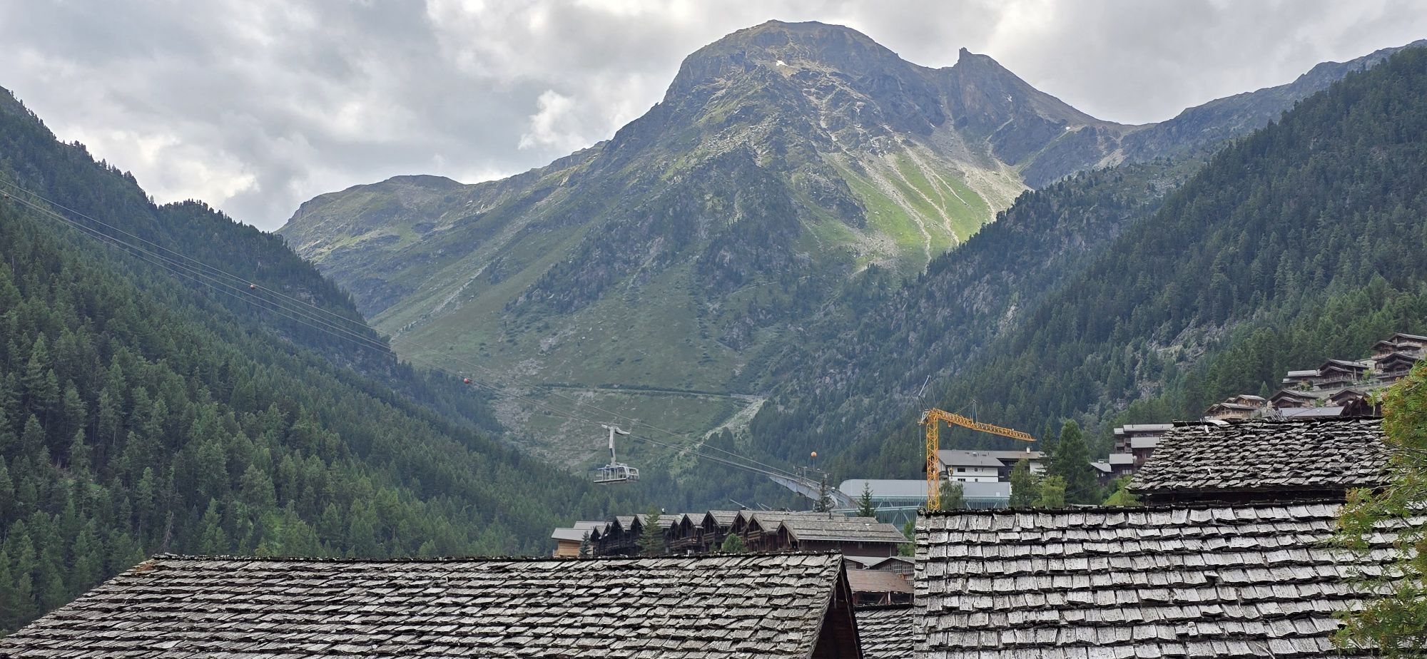
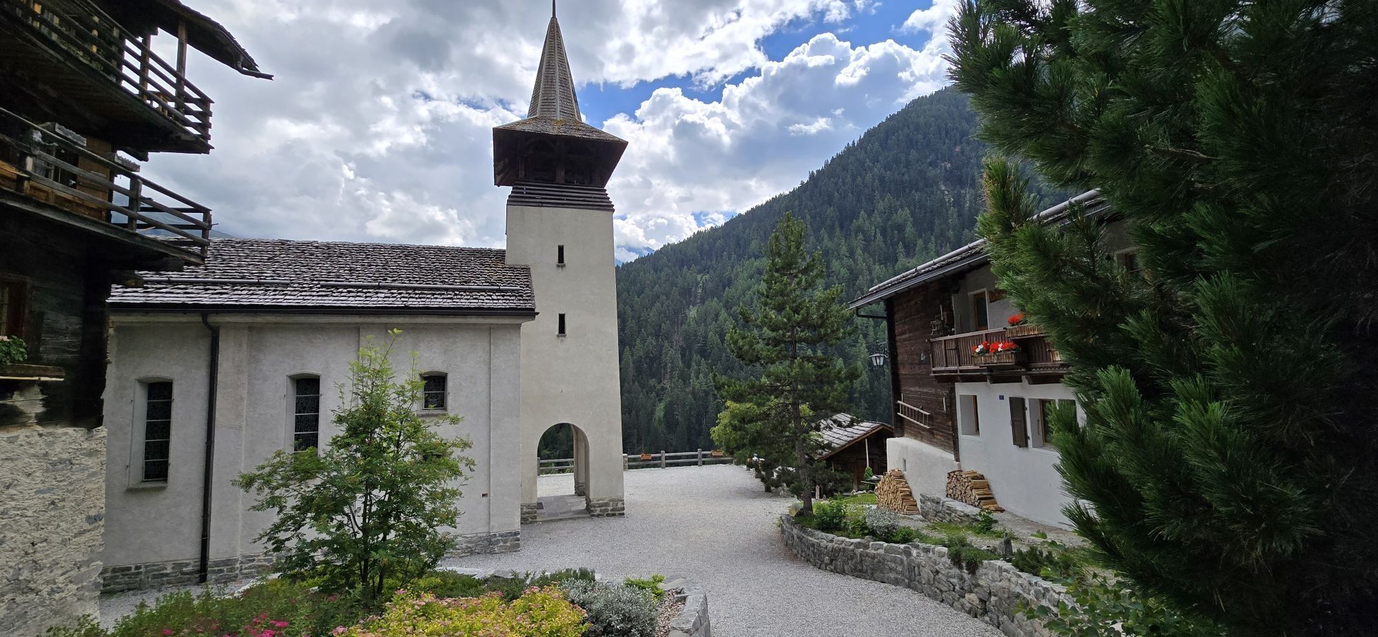
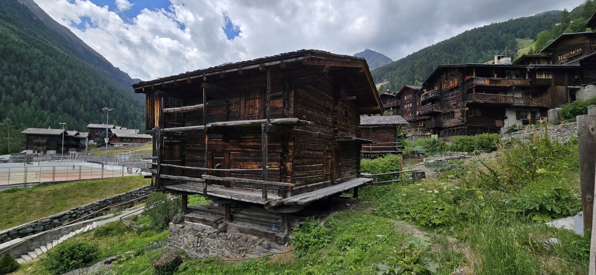
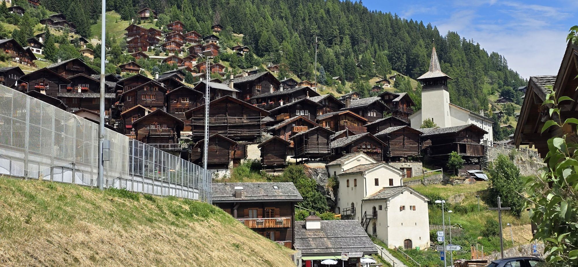
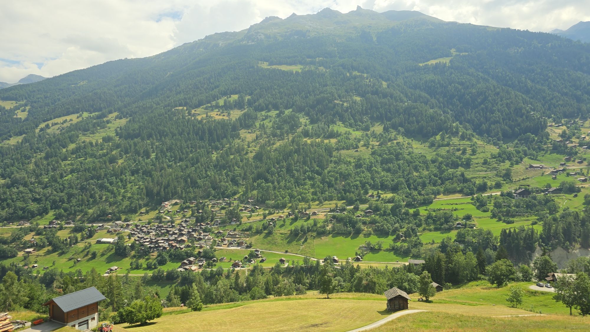
Your ascent begins in Chippis, a small village on the Rhone. A small road leads you near the Suone of Ricard to Brie. Then it climbs above Siders for several kilometers before joining the main road leading to Vercorin. The route now continues with a wonderful view of the Val d’Anniviers along rock walls and through galleries carved into the stone. In Vercorin, the route heads towards Pinsec and then descends again through the typical hamlets of Mayoux and Saint-Jean. On your next climb on a initially wide road, you will be accompanied by views of the Matterhorn and the Dent Blanche. From the picturesque village of Grimentz, a steep climb of five to six kilometers challenges you more. On a short flat stretch, you can catch your breath before the last two exhausting kilometers to the Moiry dam. The destination at 2250 meters altitude is near the dam crest above the lake.

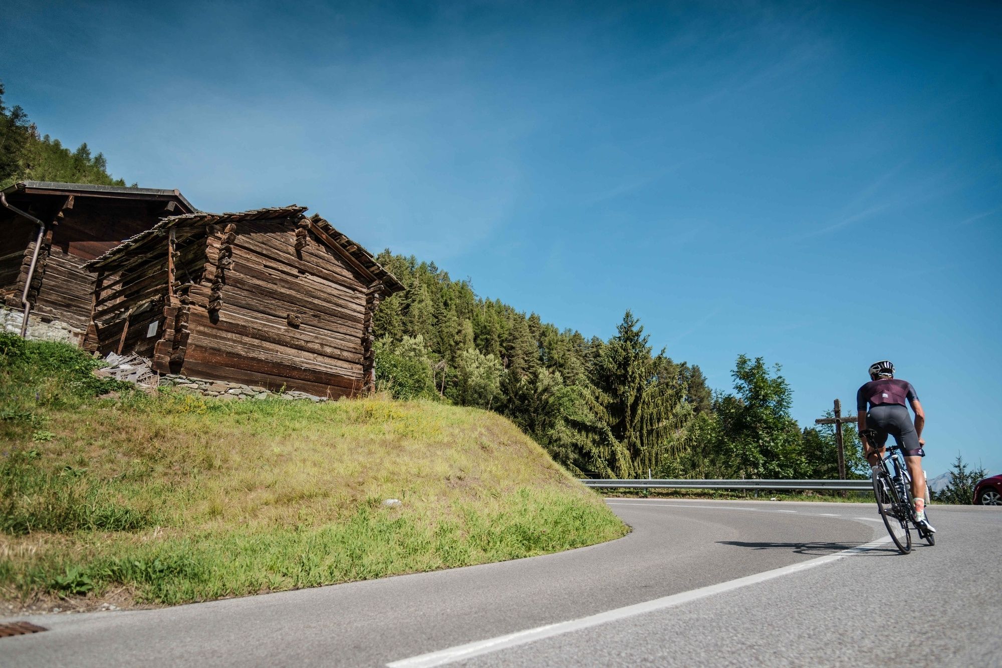
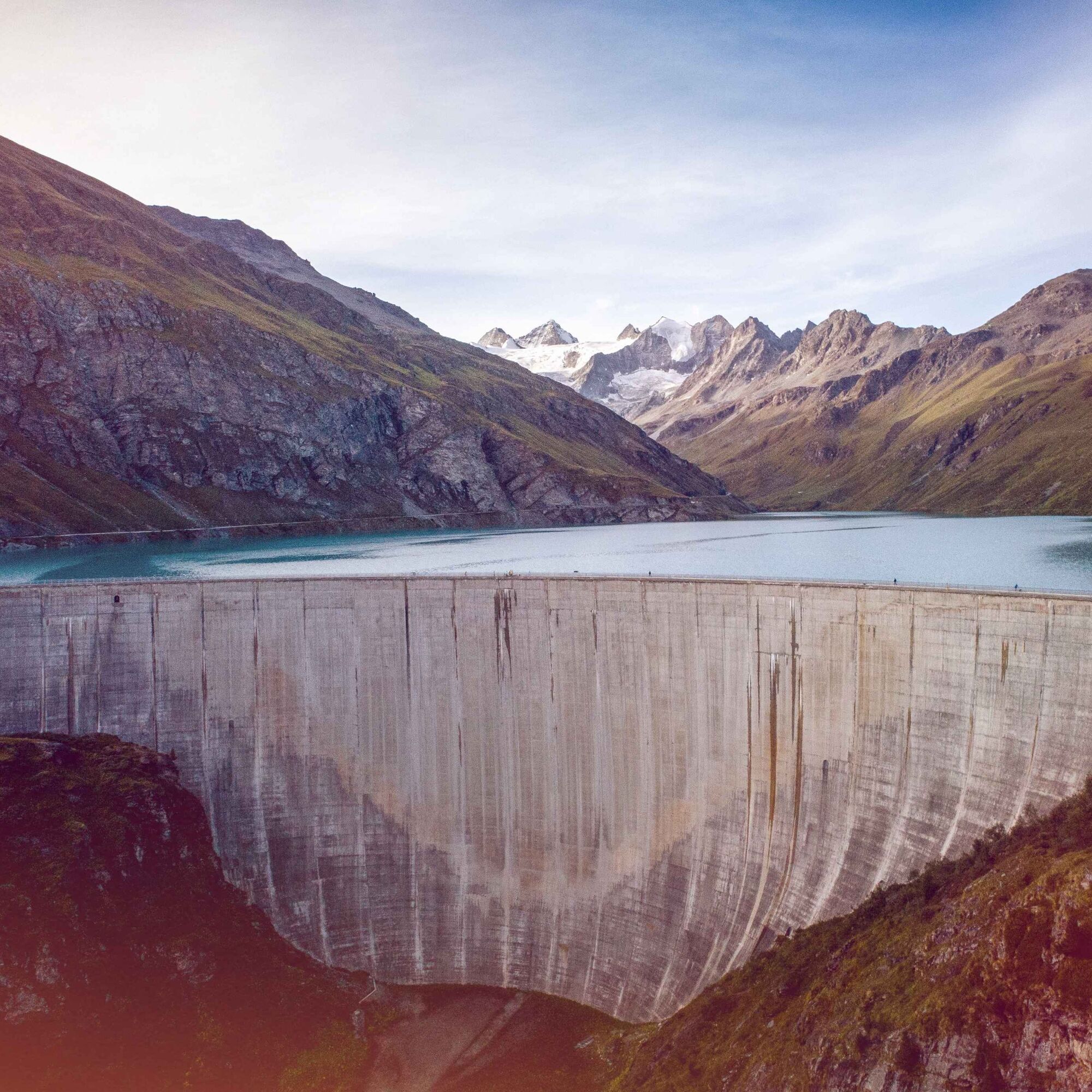
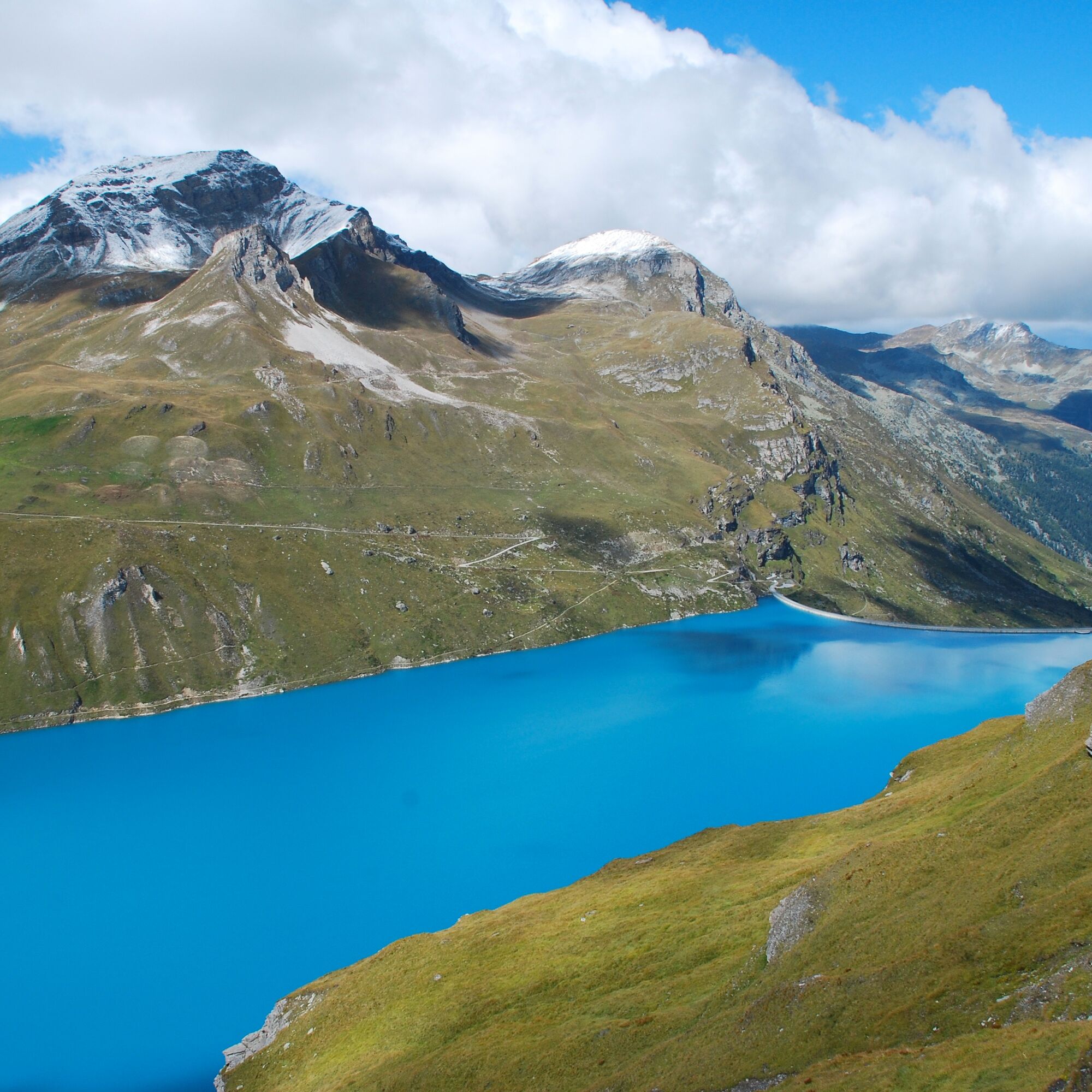
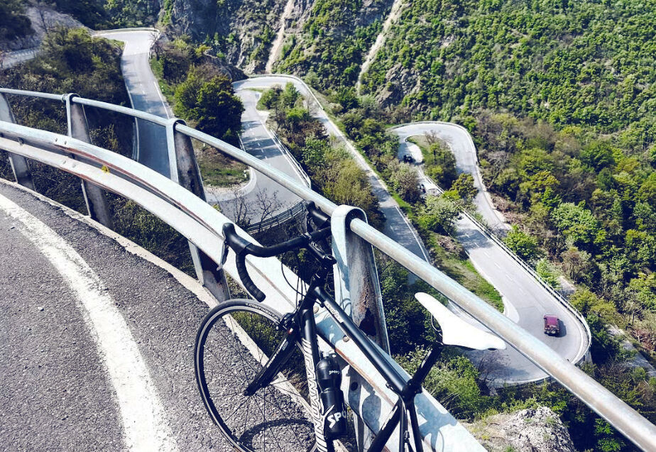
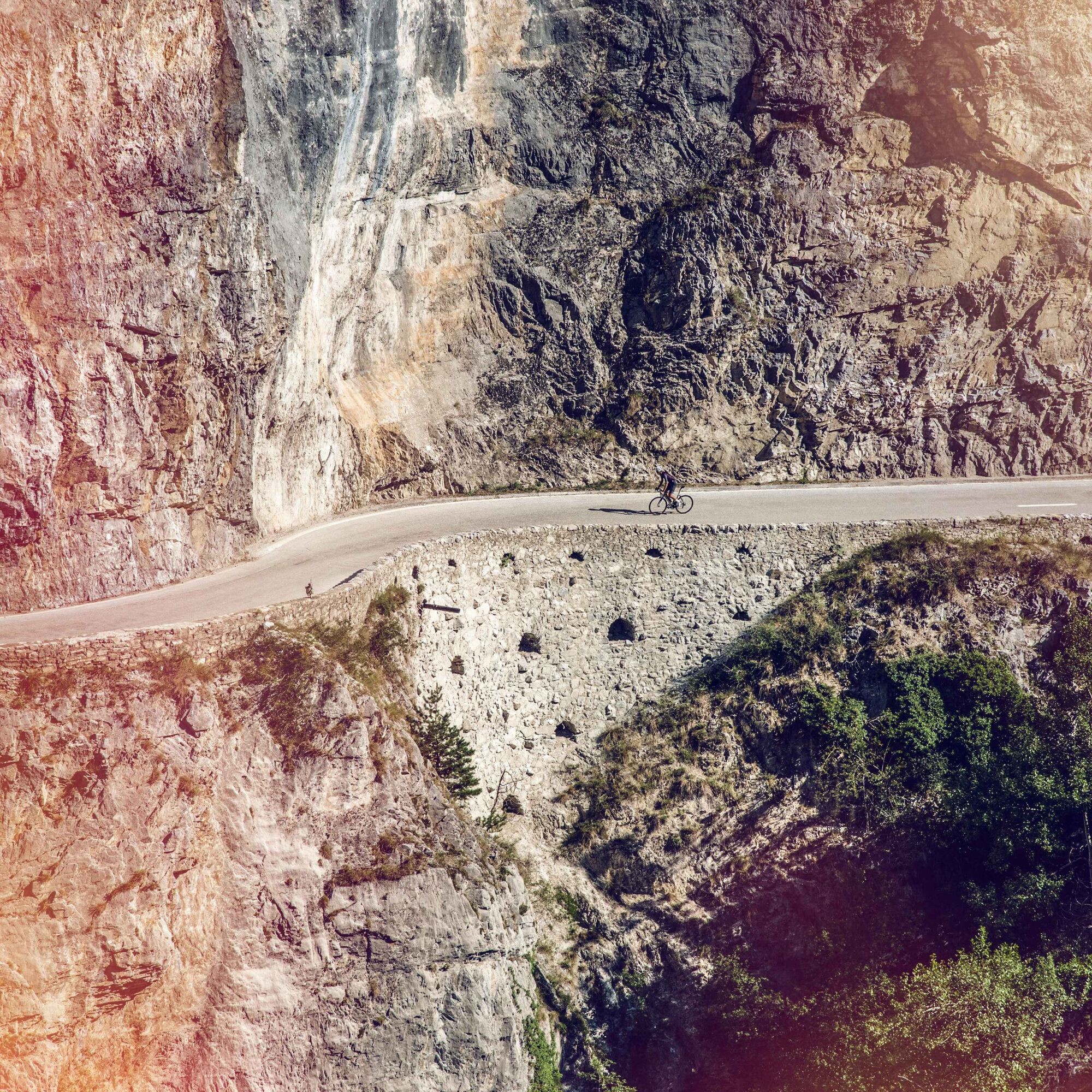
From the bridge over the Rhone at Chippis, follow the cantonal road towards the center of Chippis. A large curve leads you to the road to Chalais, where the starting point is located. After 200 meters, turn left onto the road towards Brie. Travel 5.7 kilometers on this road before reaching the cantonal road to Vercorin. In the center of Vercorin, keep left and ride to Niouc, where a descent through the villages of Niouc and Mayoux awaits you. Then you gain altitude again on the Vissoie–Grimentz road. From Grimentz, a steep climb awaits, before you can catch your breath on a short flat section before the last two exhausting kilometers to the Moiry dam. The destination is near the dam crest above the lake. The Valais bike route markings suggest an ascent to the Moiry dam that avoids the heavily trafficked road from Siders via Niouc and Vissoie.
Our recommendation: Technically perfect bike, helmet, gloves, and bell, weather-appropriate clothing (always bring rain protection), drinks, and provisions.
Respect the rules of Swiss road traffic. Riding this route is at your own risk; any liability is excluded. Respect the flora and fauna in your surroundings. For your safety, we recommend wearing a bicycle helmet. Emergency numbers: 144 ambulance / 117 police / 1414 Rega. Assess your own abilities and fitness well. Riding the various routes is fundamentally at your own responsibility.
Via A9 motorway from Lausanne or Siders, exit Sierre West (from Lausanne) or Sierre East (from Brig). Via Rue de la Plaine to the Park + Ride at Sierre/Siders station.
By SBB line Lausanne–Brig or regional trains on the Simplon line to Sierre/Siders.
Park + Ride at Sierre/Siders station. Follow the local parking guidance system in Sierre/Siders.
5
The interior of the Moiry dam can be visited upon request.
Webové kamery z prohlídky
Grimentz Ort
Sorebois
Grimentz Zinal Pendelbahn
St. Luc/Chandolin
Bendolla
Télécabine Vercorin - Cret du Midi
St. Luc/Chandolin
St. Luc/Chandolin
St. Luc/Chandolin
St. Luc/Chandolin
Saint-Luc / Hôtel Weisshorn
Vallée d'Anniviers
Grimentz
Staudamm Moiry
Mont Major
Le Mont
Creux du Lavioz
Col du Pouce
Espace Weisshorn Téléphérique
Relais de la Tzoucdana
Oblíbené prohlídky v okolí
- 5.0
Bella-Tola
středníVysokohorská turistika 6.72 km - 4.0
Grand Bisse de Lens
světloTuristika 8.73 km Tour du Lac de Moiry
středníTuristika 13.4 km- 4.0
Belvédère via ferrata
středníVia ferrata 1.81 km - 5.0
Zinal - Cabane du Petit Mountet
středníTuristika 12.0 km - 4.0
Moiry via ferrata
heavyVia ferrata 2.93 km Grand bisse d’Ayent
středníTuristika 11.7 km- 5.0
Tour of Val d’Anniviers: Zinal–Grimentz (Stage 3)
středníTuristika 14.5 km - 4.5
Sentier viticole / Wine trail
světloTuristika 7.49 km Chemin des villages d’Evolène
světloTuristika 11.0 km
Pěší turistika a stopování


Nenechte si ujít nabídky a inspiraci pro vaši příští dovolenou
Vaše e-mailová adresa byl přidán do poštovního seznamu.