


Tour of Val d’Anniviers: Zinal–Grimentz (Stage 3)
Fotografie našich uživatelů
-

 © Roman AldaoVytvořeno dne 11.09.2025
 -
 © Roman AldaoVytvořeno dne 11.09.2025
 -
 © B P 8Vytvořeno dne 22.03.2026
 -
 © B P 8Vytvořeno dne 22.03.2026
 -
 © Roland Sommer 1Vytvořeno dne 21.03.2026
 -

 © Patrick FrankVytvořeno dne 07.02.2026
 -

 © Michael JoncquelVytvořeno dne 31.01.2026
 -
 © KolosinatorVytvořeno dne 17.01.2026
 -
 © B P 8Vytvořeno dne 11.01.2026
 -
 © B P 8Vytvořeno dne 11.01.2026


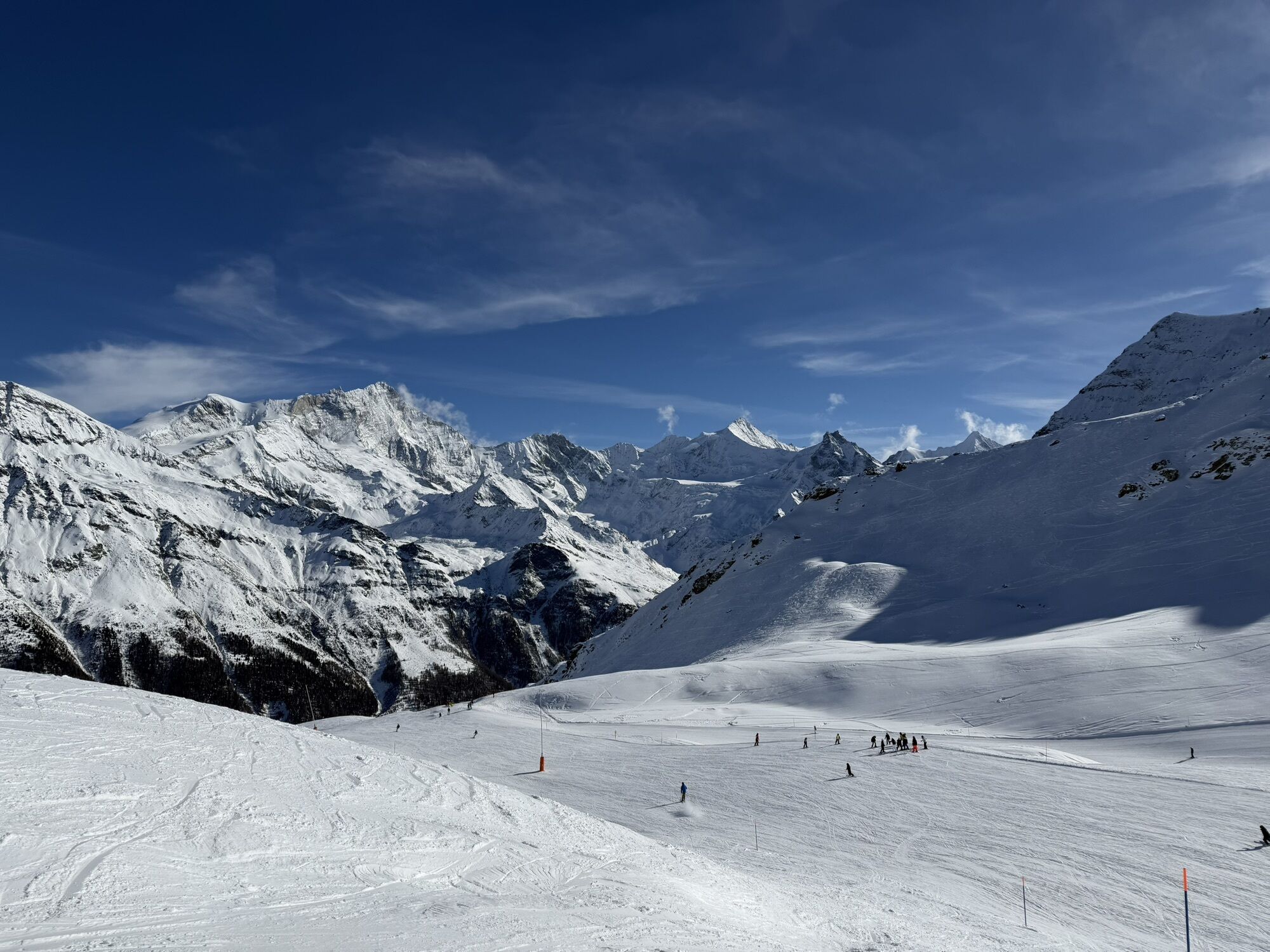


The upper part of Val d’Anniviers is formed by two valleys: the larger Val de Zinal and the side valley Val de Moiry.
The hike runs between two valleys and begins at the top at the Zinal-Sorebois cable...
The upper part of Val d’Anniviers is formed by two valleys: the larger Val de Zinal and the side valley Val de Moiry.
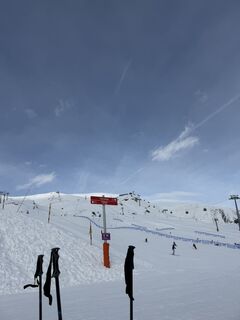
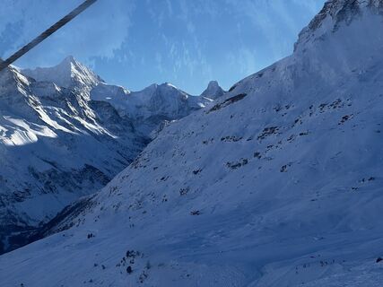
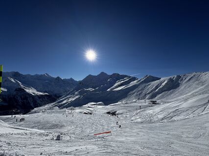
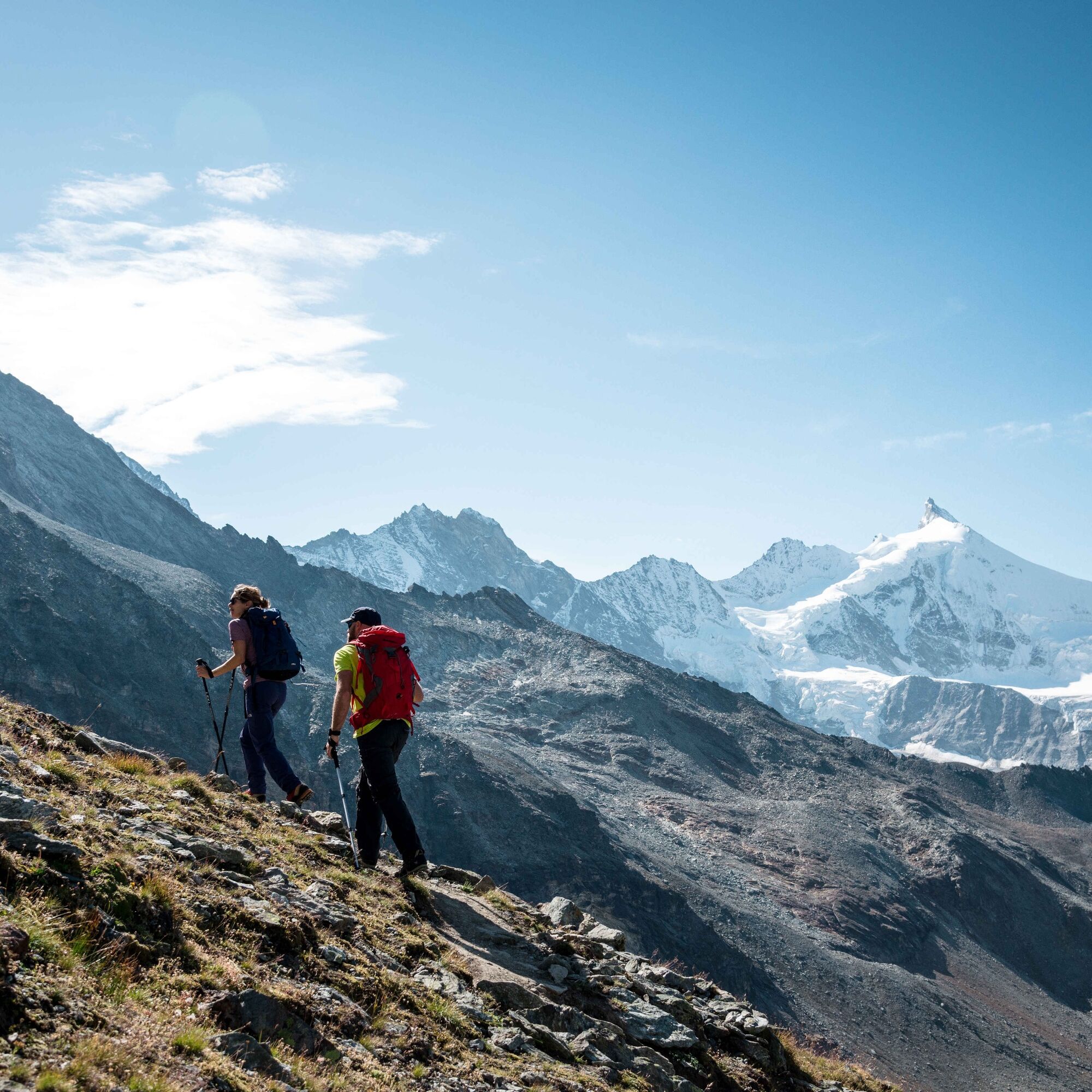
The hike runs between two valleys and begins at the top at the Zinal-Sorebois cable car. There, a magnificent view of the "Couronne Impériale", the royal crown, awaits you. This refers to the five four-thousanders high above Zinal. A steep ascent takes you up to the Col de Sorebois pass at 2835 m above sea level. After that, the path descends into Val de Moiry.
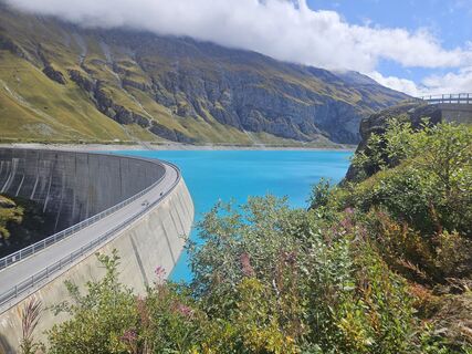
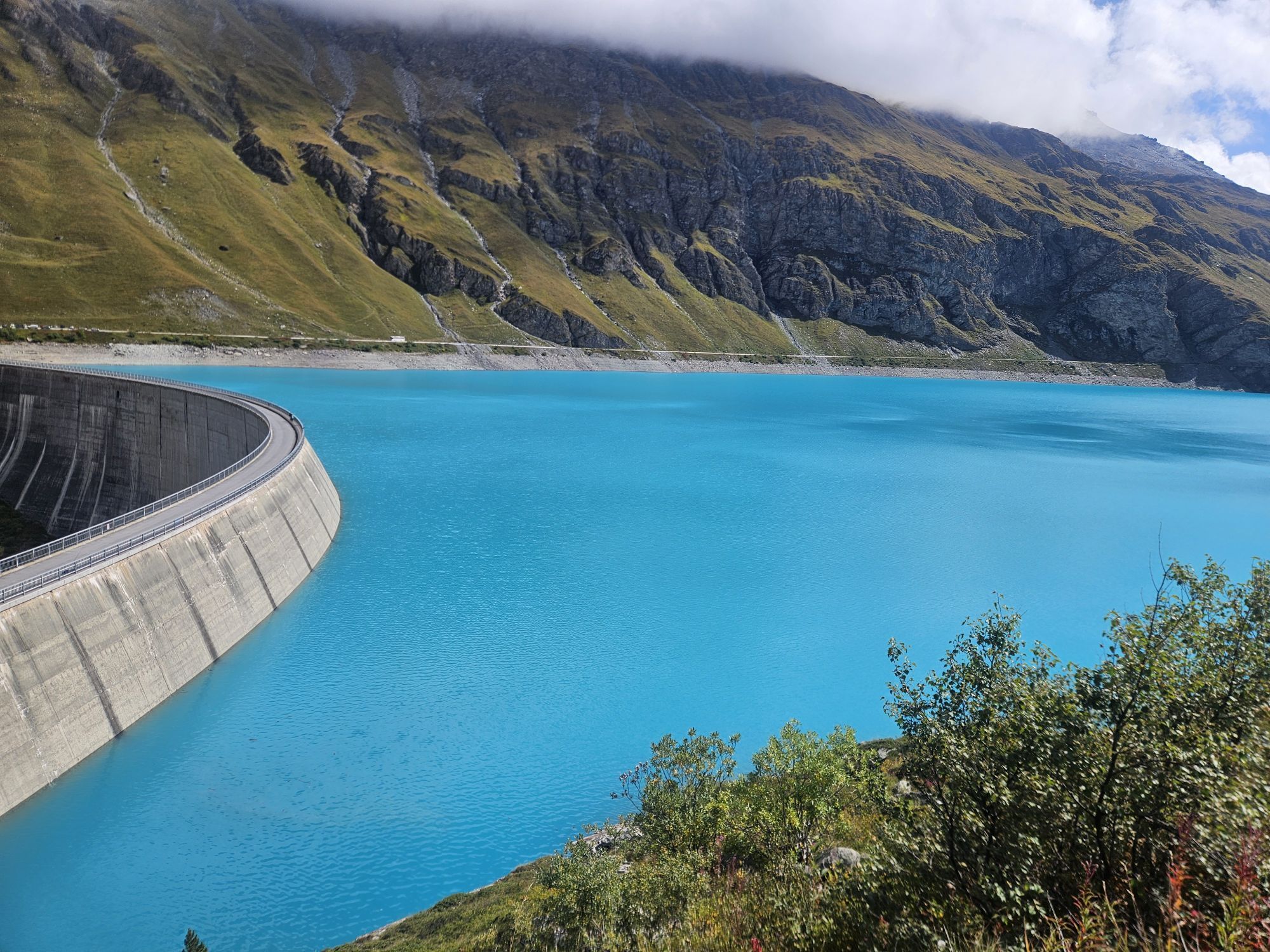
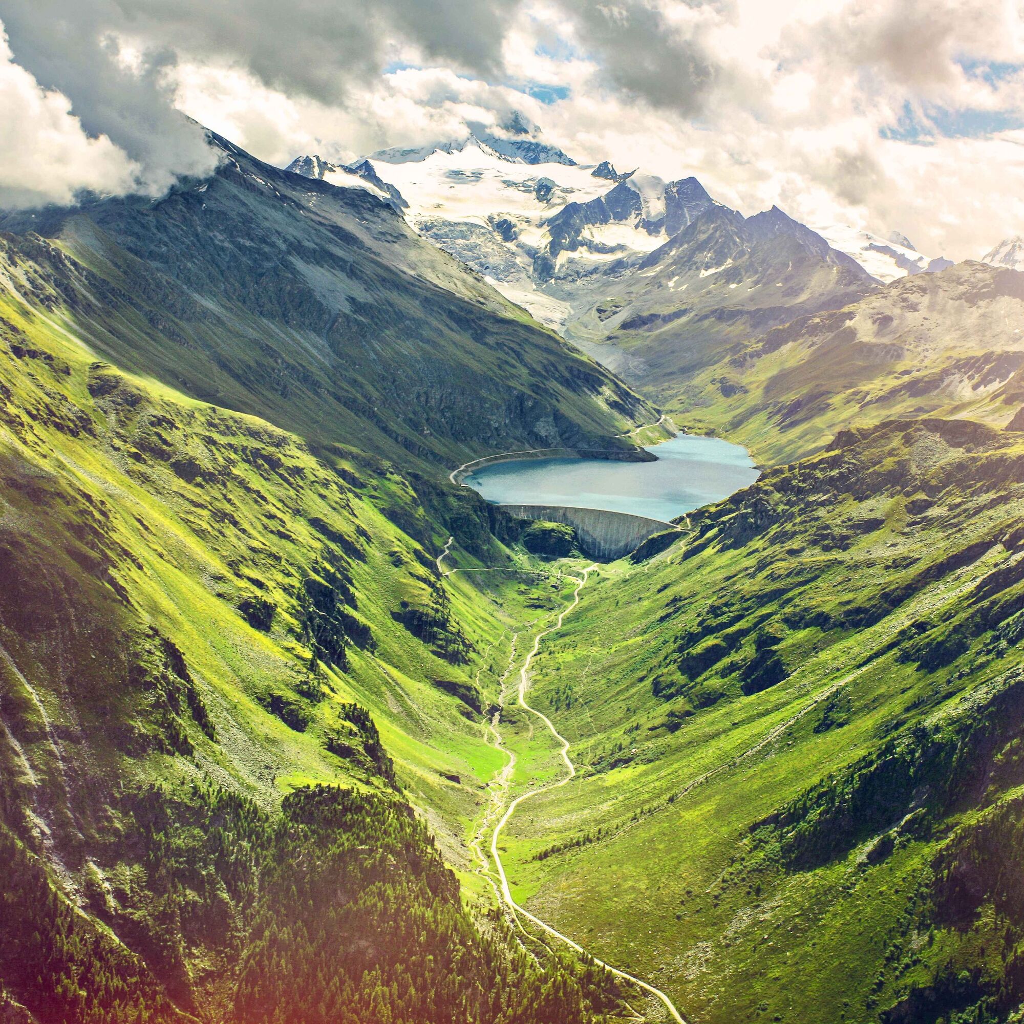
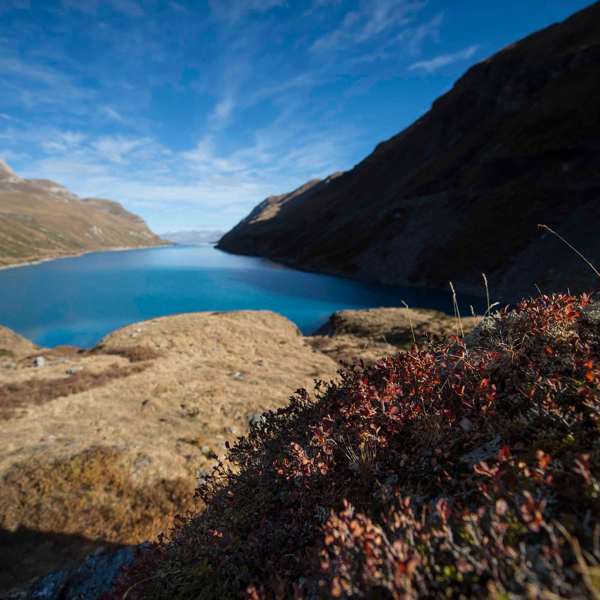
A new panorama opens during the descent. Before you lies the dam of Moiry, an impressive and architecturally interesting structure. The water held back by the dam is in a beautiful turquoise and forms the Moiry reservoir. The lake is fed by glacier water from the Moiry glacier amidst snow-covered peaks at the back of the valley.
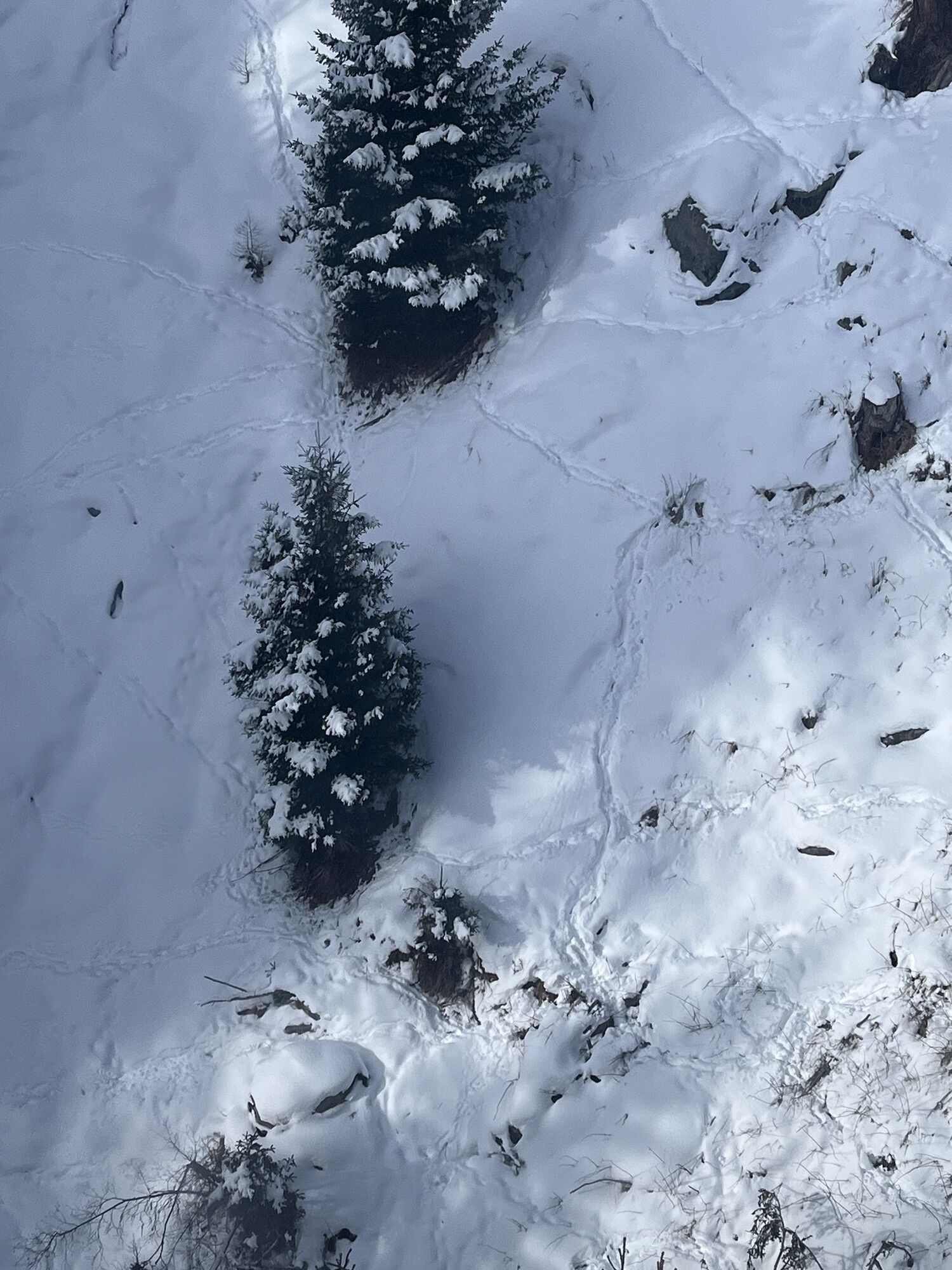
Several sights await you at the dam. Noteworthy are the restaurant with its sun terrace, the via ferrata, and guided tours inside the dam. The second half of the hike consists of a long and scenic descent through the valley Val de Moiry to Grimentz. First, you hike through beautiful alpine pastures and then through forest areas.
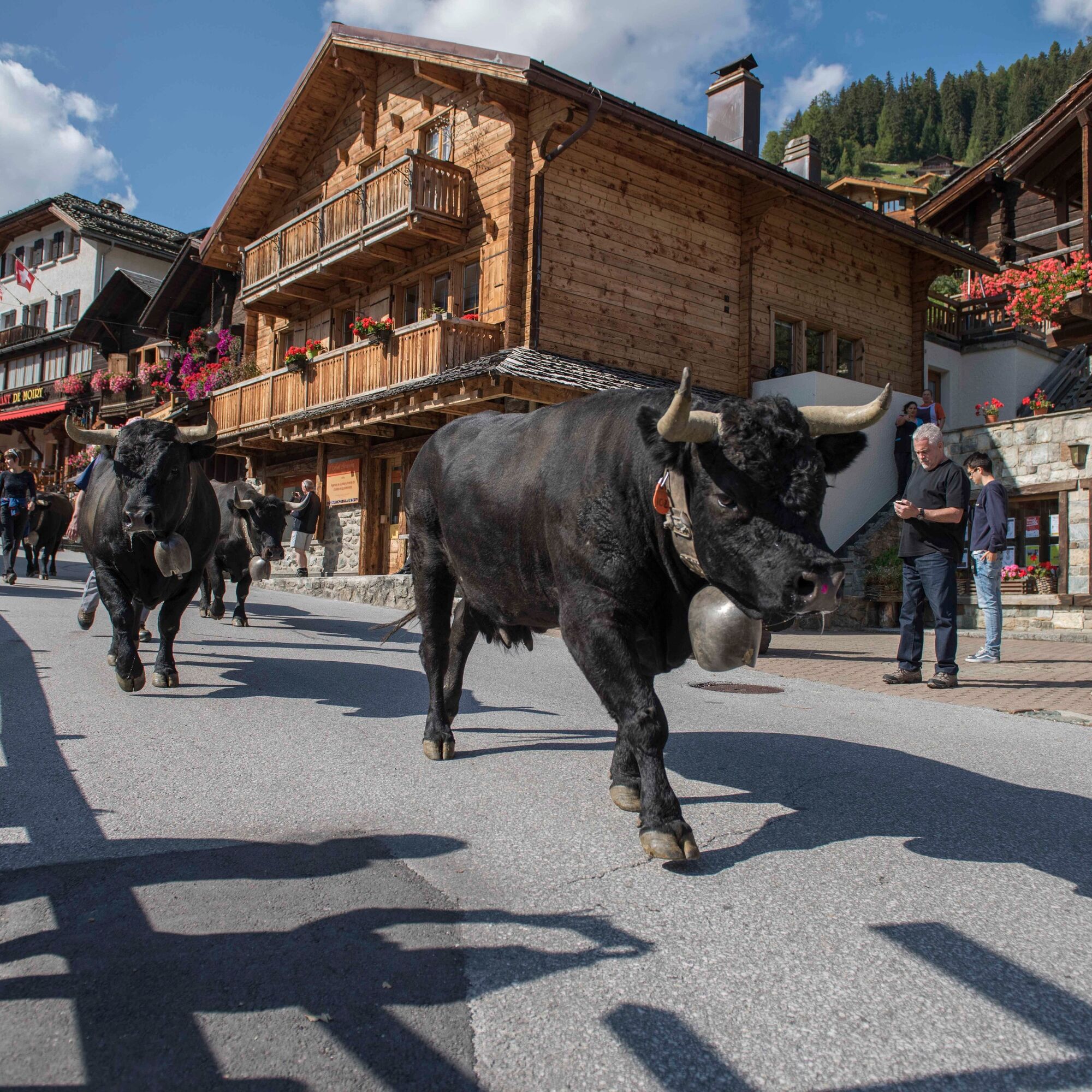
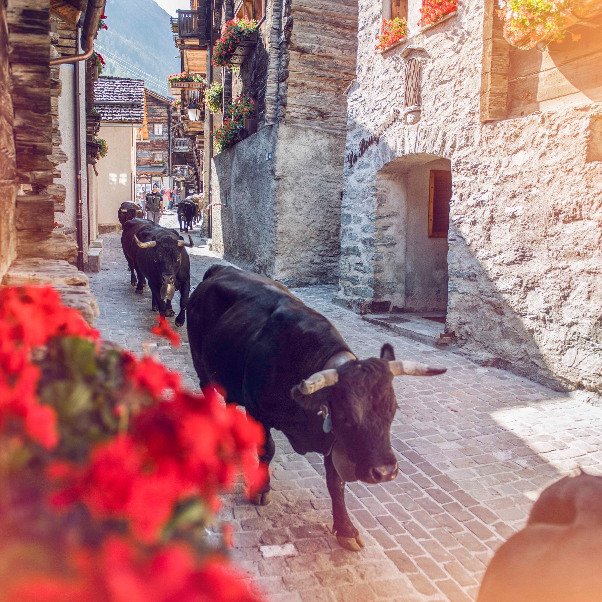
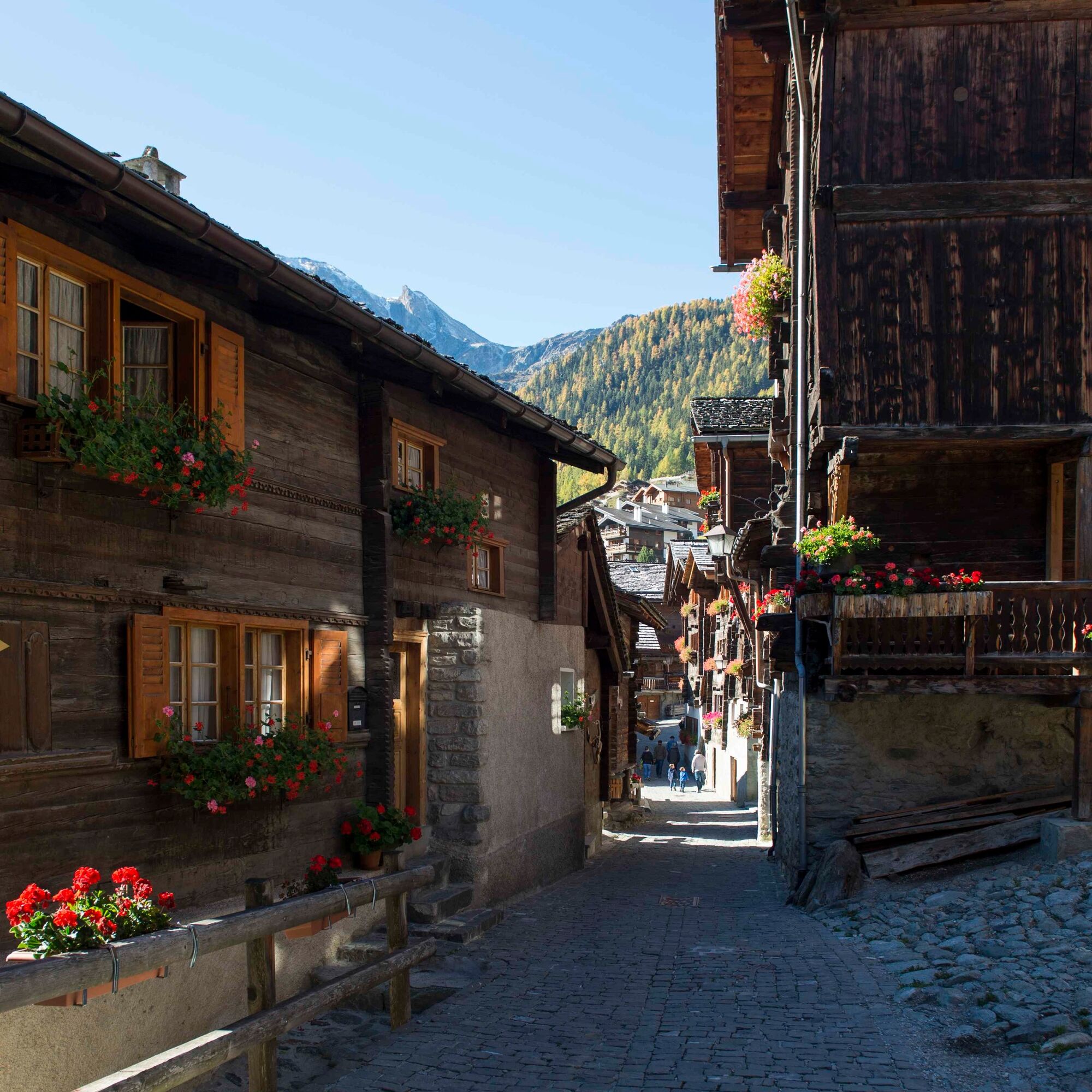
The pretty village of Grimentz impresses with its wooden flower-decorated houses and takes extraordinary pride in its eventful history, which it gladly shares with its visitors. The geranium educational trail informs visitors about the 34 species of this flower and their appearances. During a guided tour, guests have the opportunity to taste the local glacier wine in a building from the 16th century. There is also an intact water mill, a historic educational trail, an entertaining animal educational trail for families, as well as a trail dedicated to local legends. During bread baking courses, participants can traditionally bake their own rye bread and enjoy it during the subsequent fondue feast.
Highlights of the hike:
Magnificent views of two valleys. Moiry reservoir – impressive dam with turquoise blue water. Grimentz – historic village with wooden, flower-adorned houses.
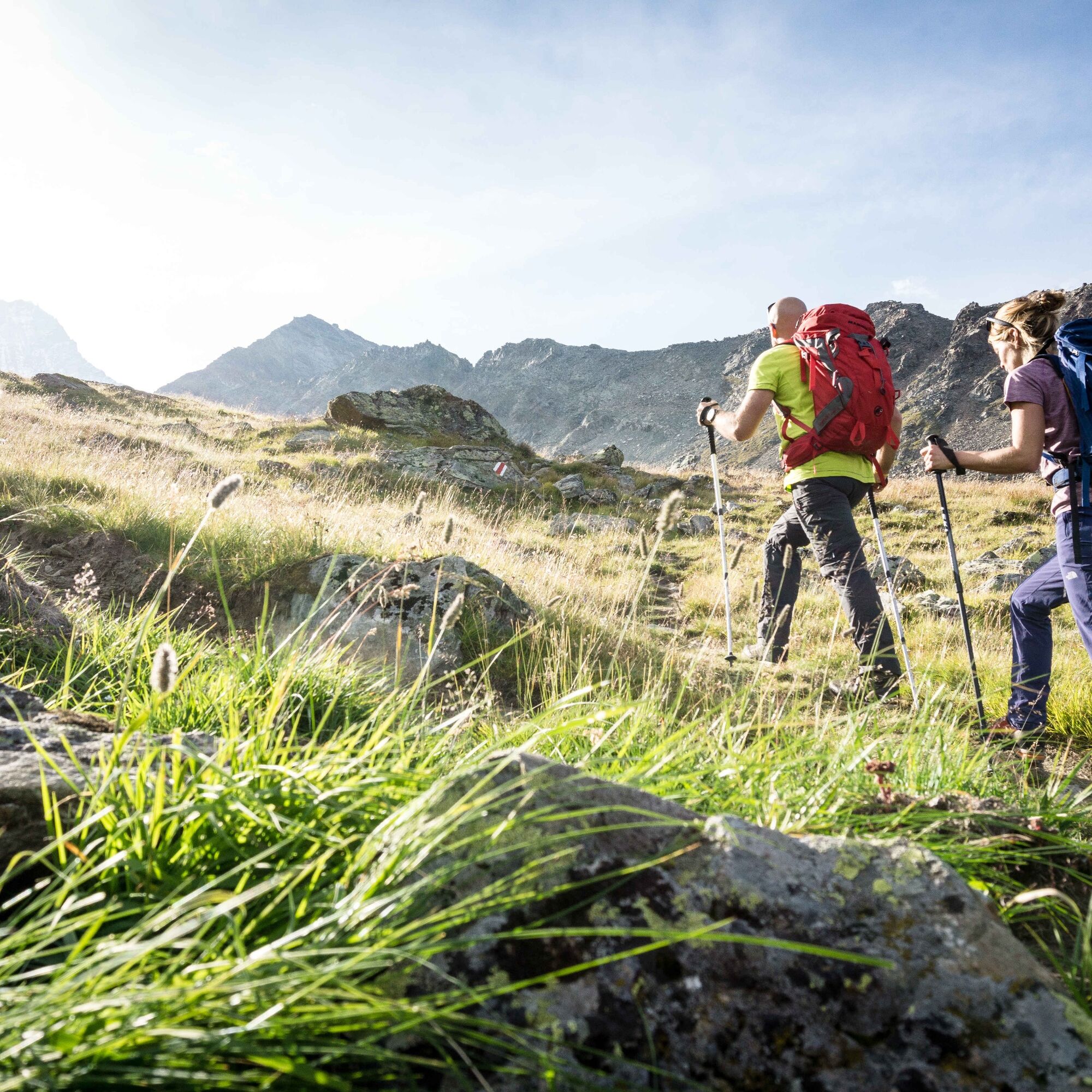
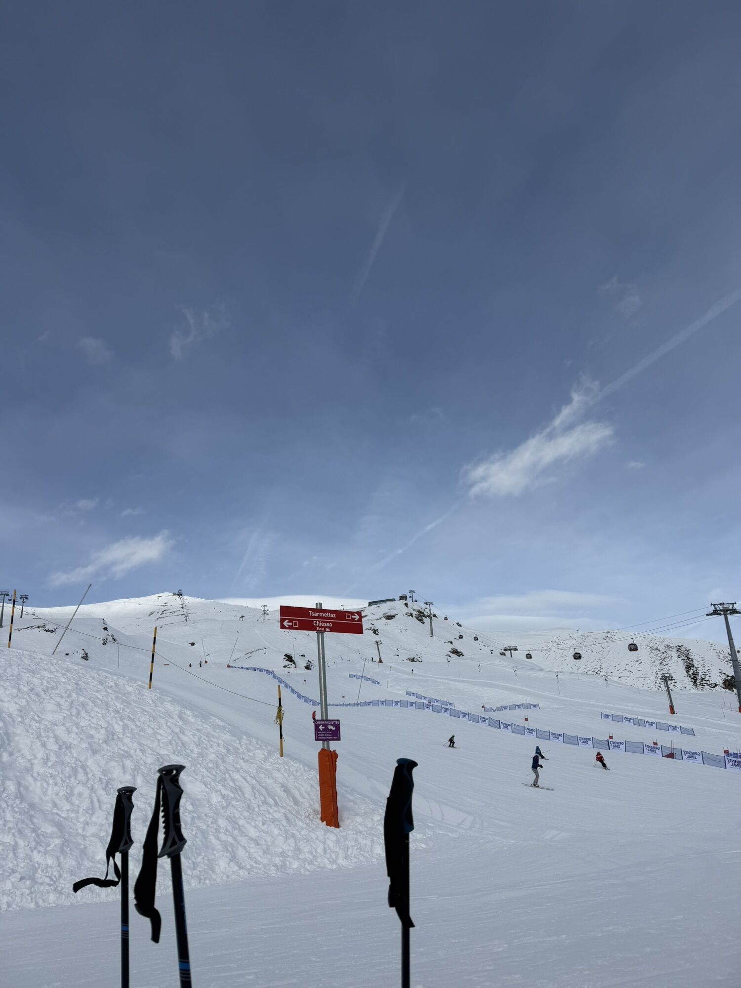
The route starts at the mountain station of the Zinal-Sorebois cable car at 2438 m above sea level. From there, the path steadily climbs up to the southwestern slope of Corne de Sorebois. The path runs below the summit over the Col de Sorebois pass at 2835 m above sea level.
From there, the route now zigzags down to the Moiry dam at 2250 m above sea level. The restaurant with its sun terrace is an ideal place for a short break.
The path now crosses the dam crest before leading down towards the Val de Moiry. The descent proceeds northwards through the Val de Moiry and crosses the mountain stream La Gougra just before Grimentz.
You can extend the hike by ascending from Zinal to Sorebois on foot instead of taking the cable car.
Ano
Ano
Ano
We recommend:
Good footwear Weather-dependent clothing: always carry a waterproof vest Headwear Sun protection Water bottle Picnic Camera Binoculars (optional) Hiking poles (optional) Printout of the hiking trail (click "Print" to download)For certain hikes:
SwimsuitThe mountains, a place of joy to share and respect. The mountain world is a place to meet and experience unforgettable moments together – whether on bike or on foot. For all users to benefit, it is essential to share this space with respect for nature and agriculture. Respectful behavior enables everyone to enjoy their leisure activities under the best conditions. Inform yourself about recommendations and rules. Assess your own abilities and fitness well. Using the different routes is fundamentally at your own risk.
For all hikes:
Carry a map with you. Download the complete description of the hiking trail with a large-scale map by clicking "Print" at the top right of the page. Use only marked hiking trails and consider all signposts and instructions – for your own safety, for the protection of grazing animals, and out of respect for wildlife. Close gates again after passing through. Behave considerately towards other trail users, plants, and animals.For mountain hikes:
Take additional sun protection with you. UV rays at high altitudes can be very strong, even in cloudy weather. Plan your hike carefully: consider the required fitness level of all participants, weather forecasts, and seasonal dependencies. Weather conditions in the mountains can change very quickly and without warning. Appropriate clothing and enough provisions (food and drink) are very important. In unsettled weather, it is better to turn back early.For high alpine hikes:
Inform your family about your hiking route. If possible, avoid hiking alone. Do not venture onto glaciers without a mountain guide. Observe warning signs indicating dangers at riverbanks, along watercourses below dams and reservoirs: water levels can rise quickly and without warning.A9 motorway to Sierre, then take exit 29 Sierre-Est and continue towards Val d'Anniviers. Turn off in the village of Vissoie and continue towards Zinal.
Regular train connections to Sierre, from there post bus connection to Zinal and change in Vissoie. The detailed timetables for trains and post buses can be found at sbb.ch.
Use the parking lots in Vissoie and then take the post bus to Zinal. From the end point of the hike in Grimentz, return by post bus to Vissoie.
The Anniviers Liberté Pass includes a 50 percent discount on the funicular and free travel with the post bus as well as other activities.
Oblíbené prohlídky v okolí
-
5.0
Bella-Tola
středníVysokohorská turistika 6.72 km -
Tour du Lac de Moiry
středníTuristika 13.4 km -
4.0
Belvédère via ferrata
středníVia ferrata 1.81 km -
5.0
Zinal - Cabane du Petit Mountet
středníTuristika 12.0 km -
4.0
Moiry via ferrata
heavyVia ferrata 2.93 km -
Chemin des villages d’Evolène
světloTuristika 11.0 km -
Zum Fuss des Gletschers und zurück nach Les Hauderes
středníTuristika 12.3 km -
Tour du Val d'Anniviers: Vallon de Réchy - Mountain lake Le Louché (Stage 5)
středníTuristika 15.0 km -
Val d'Anniviers Weisshorn Bike
středníMountainbike 24.5 km -
Cab. du petit mountet/ Lac d’Arpitettaz
středníTuristika 12.6 km

Pěší turistika a stopování


Nenechte si ujít nabídky a inspiraci pro vaši příští dovolenou
Vaše e-mailová adresa byl přidán do poštovního seznamu.