






E-bike route Gletscherseewjini
Úroveň obtížnosti: 2
The route starts at the village square of Saas-Balen and leads along the alpine road past the alpine hamlets Grundbiele, Ze Flie, Matt, Hoferälpji to the bridge of the Gruebe Alp. From here the forest...
The route starts at the village square of Saas-Balen and leads along the alpine road past the alpine hamlets Grundbiele, Ze Flie, Matt, Hoferälpji to the bridge of the Gruebe Alp. From here the forest sections end and you are in alpine nature.
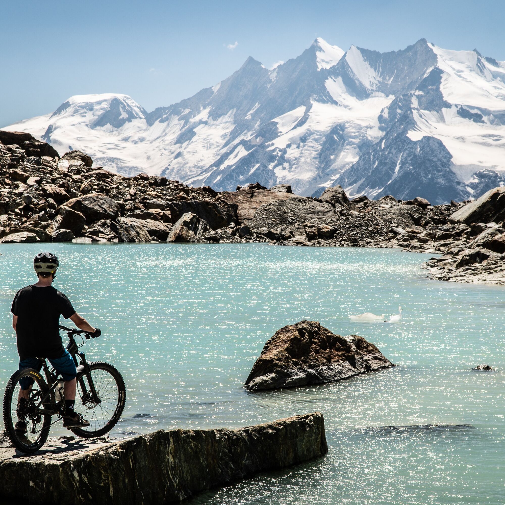
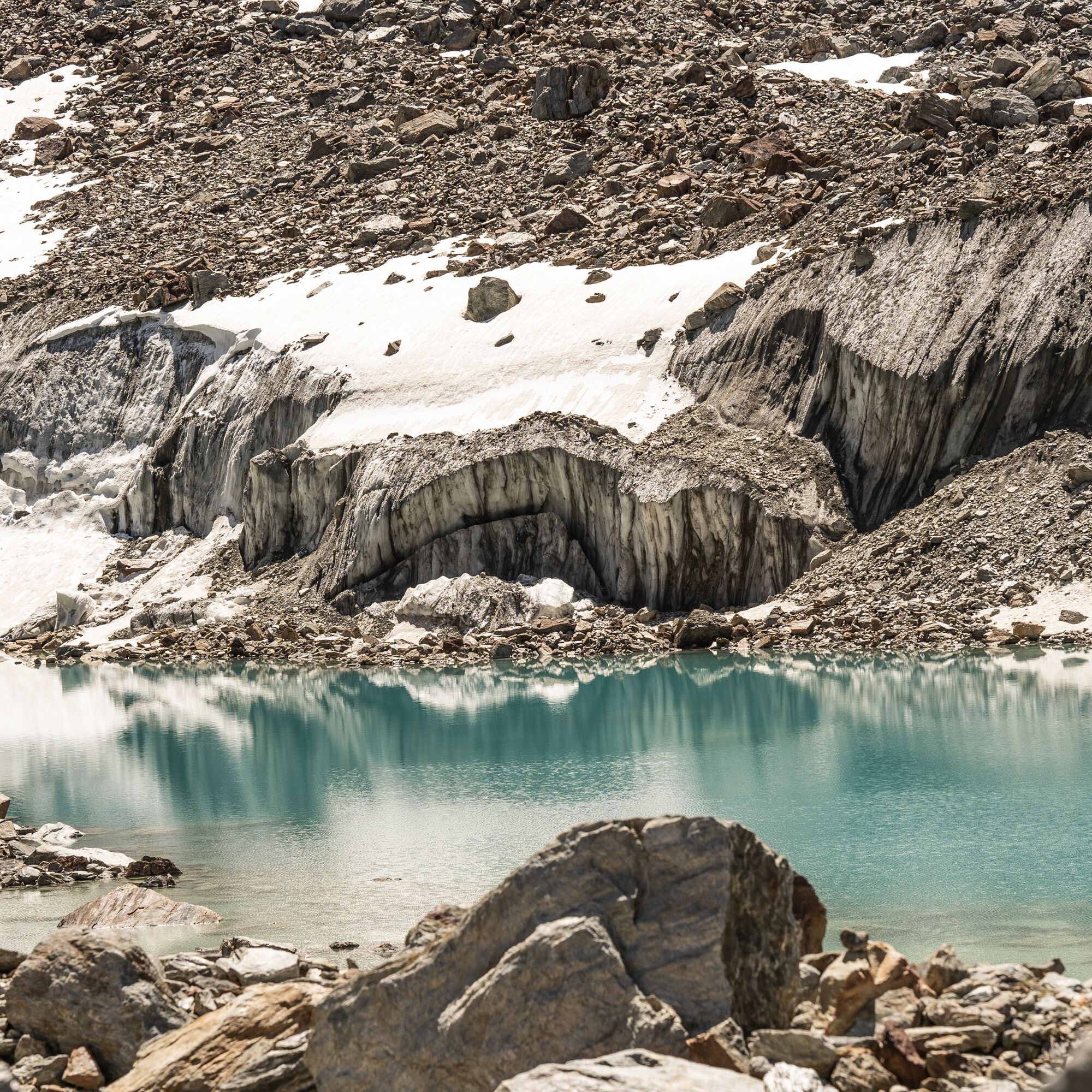
The path leads in a slight curve to the left past the barrier. Now follows the strenuous zigzag all the way up. At the fork at an altitude of 2,750 meters above sea level, turn left and follow the path to the end. On the plain you can already see the glacier tongue of the Gruebugletcher and the flank of the Jegihorn.
Afterwards, it goes back on the same trail to Saas-Balen.

Village square - Grundbiele - Ze Flie - Matt - Heimischgarte - Hoferälpji - Gruebe - Gletscherseewini
Ano
Ano
Enough battery power
Technically flawless bike
Helmet
Gloves
Bell
Outdoor clothing: Always carry a waterproof jacket
Fluids and food
First aid kit
Navigation tool
The Saas Valley is easily and conveniently accessible by car from all directions, whether from Switzerland or abroad. From the north you can reach us via Bern through the Lötschberg car shuttle. From the east you come via the Furka Pass or the Furka car shuttle. From the south we are reachable via the Simplon Pass or the Simplon car shuttle, and from the west you drive via Lausanne along the Rhone Valley to Visp and from there towards Saas-Fee.
From Visp drive south towards Saas-Fee. At the "Killerhof" roundabout near Stalden take the second exit towards Saas-Fee and follow the main road to Saas-Balen.
Take the SBB train to Visp and change there to the post bus towards Saas-Fee (bus 511). Get off at the Saas-Balen stop Dorf.
After the bridge on the right is the public car park of Saas-Balen.
2

Webové kamery z prohlídky
Získejte přehled
Vždy živě na místě s více než 9 500 webkamerami. bergfex Jako uživatel Pro si nyní můžete zobrazit odpovídající webové kamery pro mnoho prohlídek v aplikaci prohlídky z. Můžete si tak přímo prohlédnout aktuální podmínky.
Oblíbené prohlídky v okolí
-
4.9
Allalinhorn vom Mittelallalin über Normalweg
středníVysokohorská turistika 6.15 km -
3.3
Europaweg Grächen - Europahütte - Zermatt
heavyTuristika 39.9 km -
3.6
Höhenweg Kreuzboden - Almagelleralp - Saas-Almagell
Turistika 9.74 km -
3.5
Waldweg Saas-Fee - Saas-Almagell
Turistika 2.83 km -
5.0
Moosalp Panoramaweg
světloTuristika 6.36 km -
3.8
Höhenweg Saas-Fee - Grächen
Turistika 12.0 km -
5.0
Weissmies Südgrat von Saas Almagell
středníVysokohorská turistika 20.5 km -
5.0
Marmot mountain path Spielboden
středníTuristika 3.89 km -
5.0
Via ferrata Jägihorn
heavyVia ferrata 6.14 km -
4.6
Gspon high-altitude route
středníTuristika 13.9 km
Pěší turistika a stopování


Nenechte si ujít nabídky a inspiraci pro vaši příští dovolenou
Vaše e-mailová adresa byl přidán do poštovního seznamu.





