






Val Ferret – valleys and musts

Úroveň obtížnosti: 3
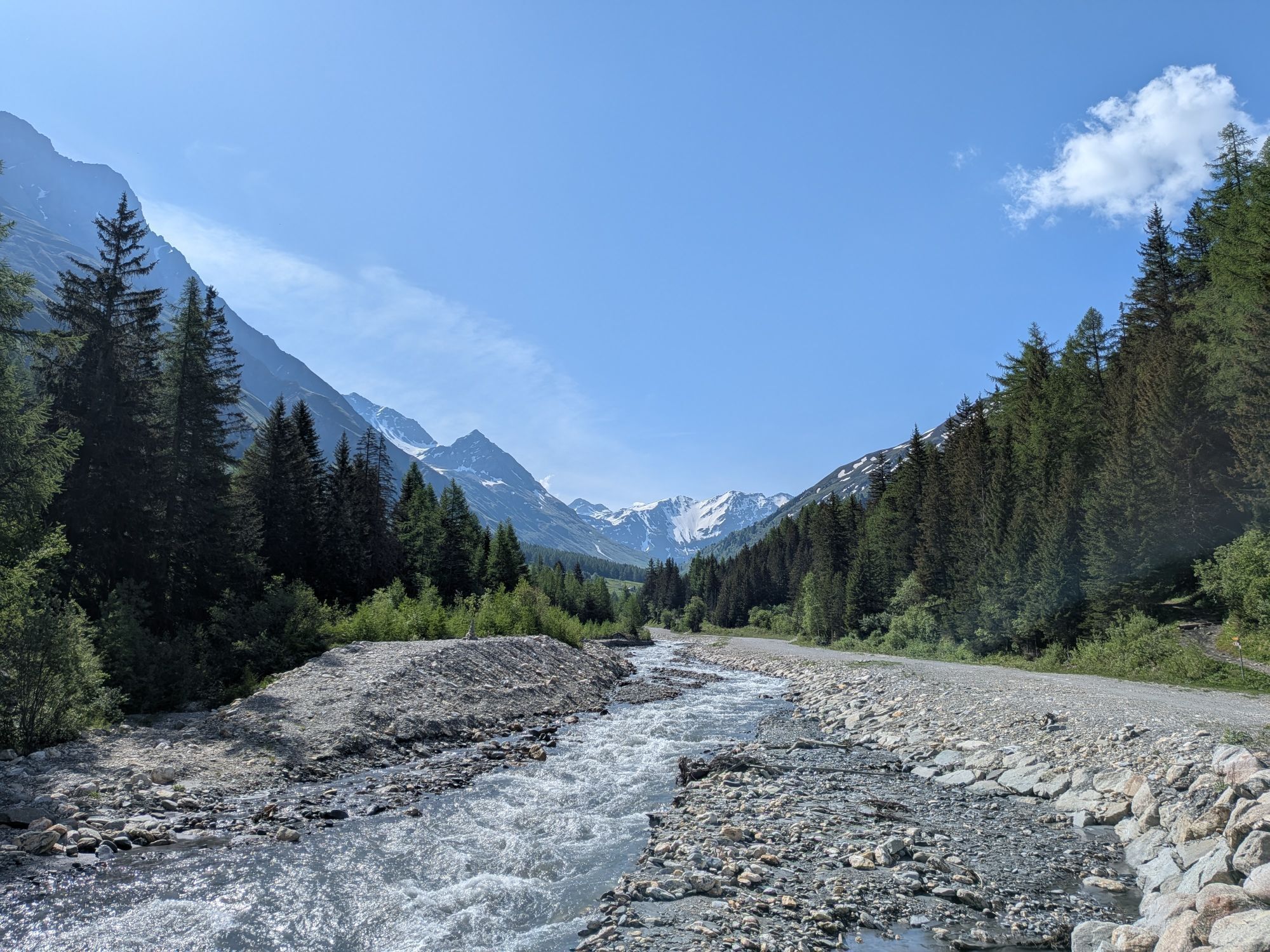
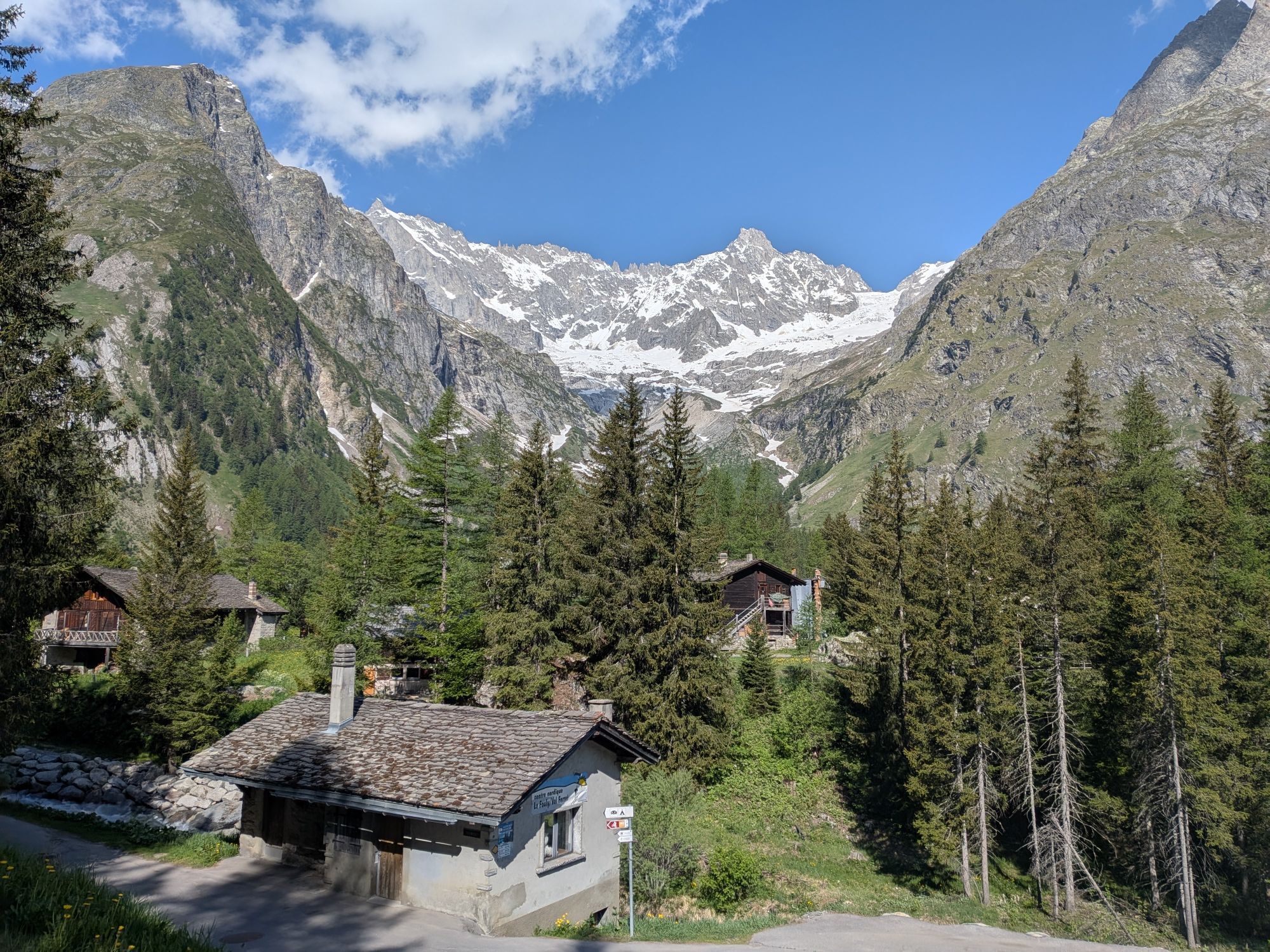
The route starts at Orsières train station and follows the Route de Ferret through Val Ferret towards Somlaproz for the entire ride. The ascent is not particularly steep and allows you to cycle at a good...
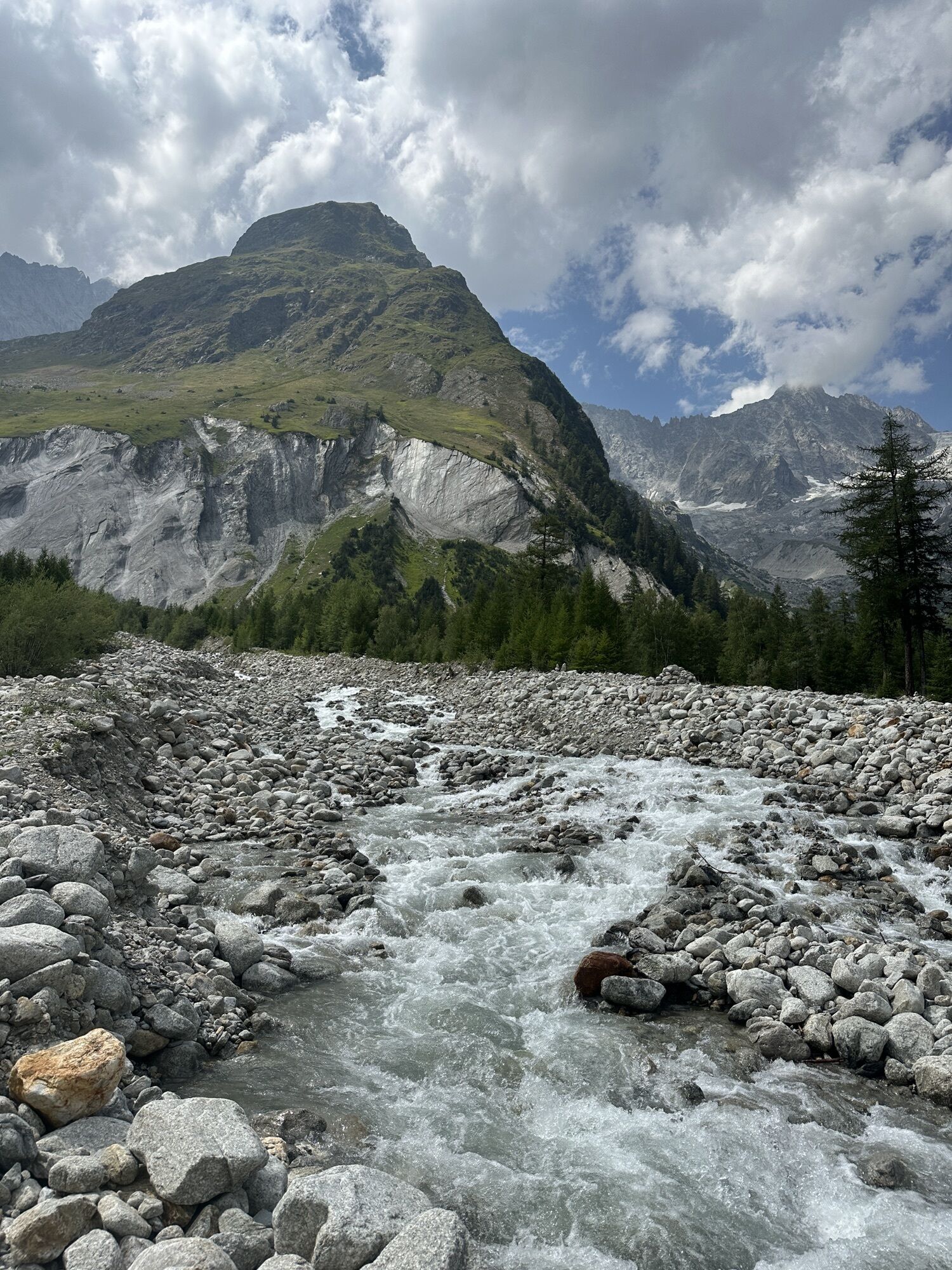
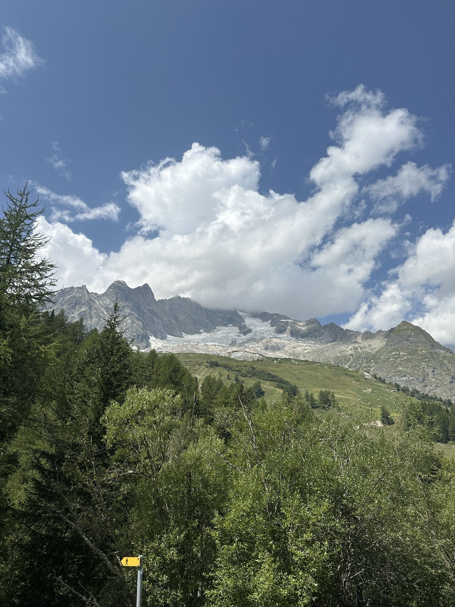
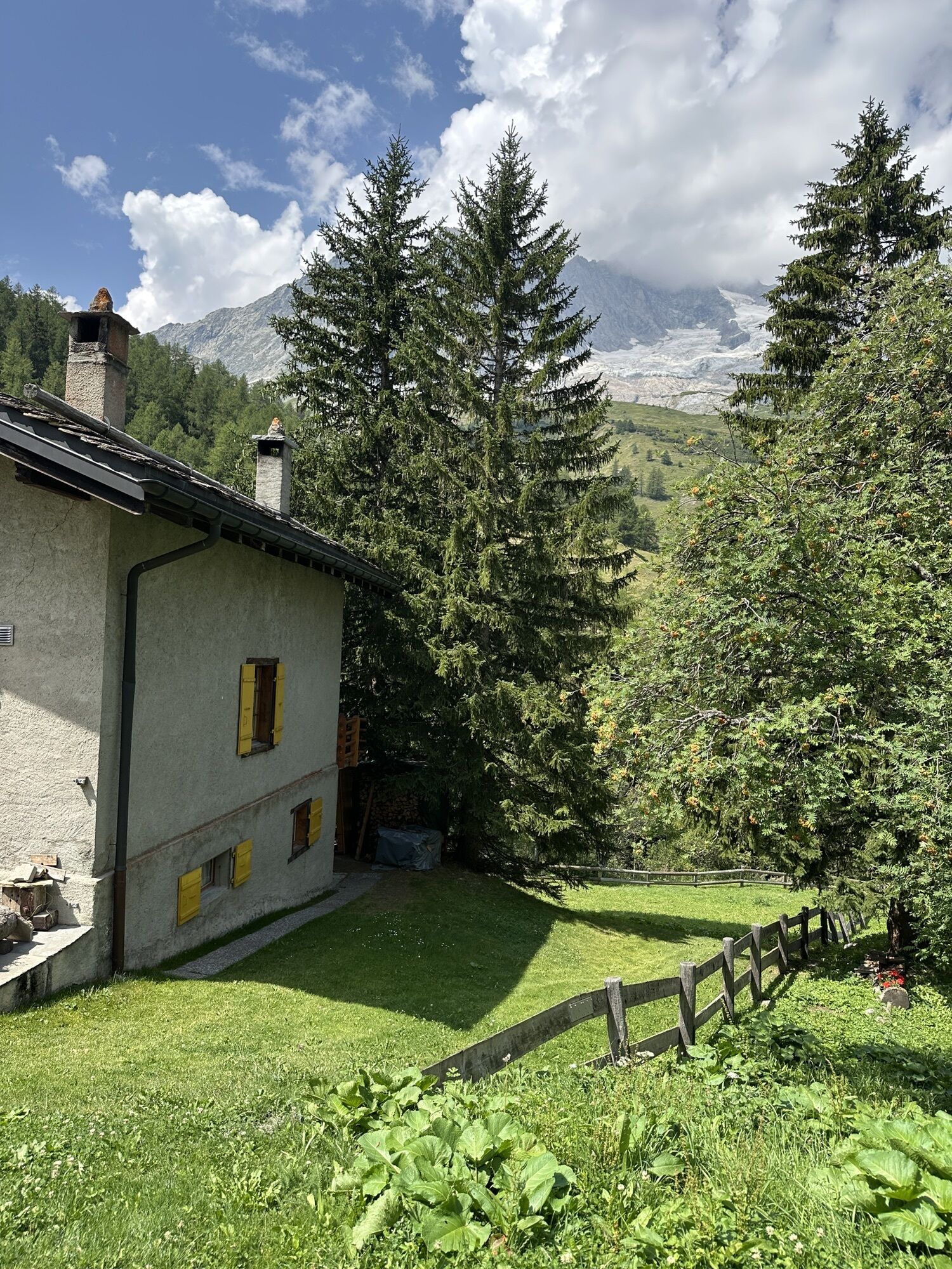
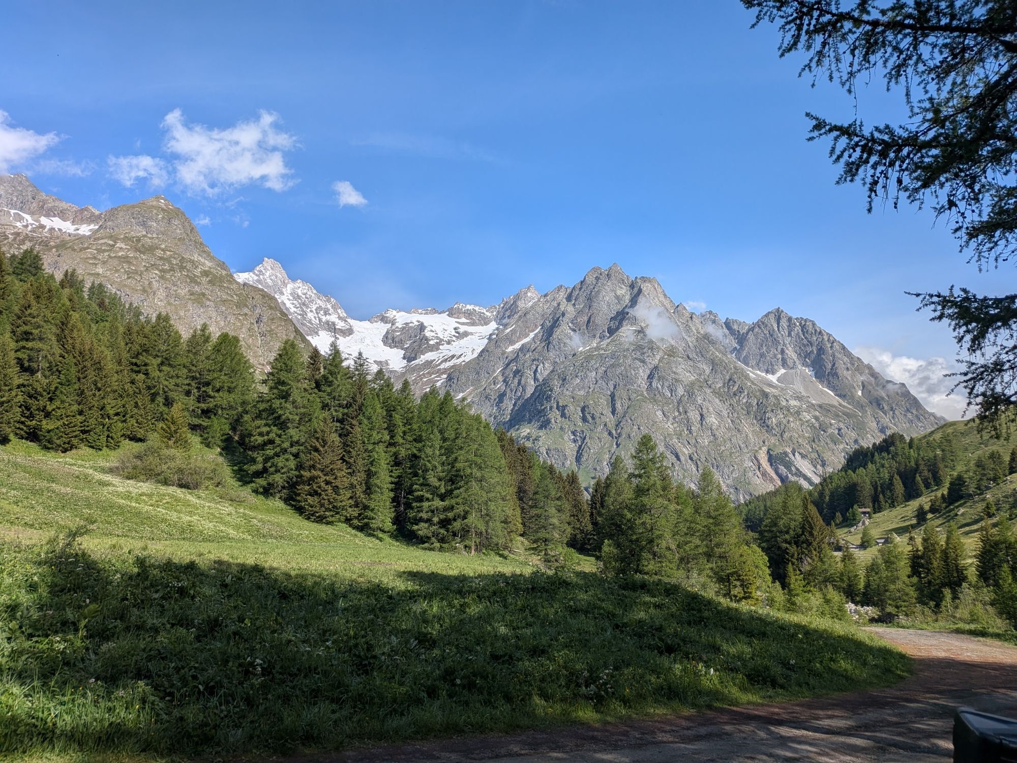
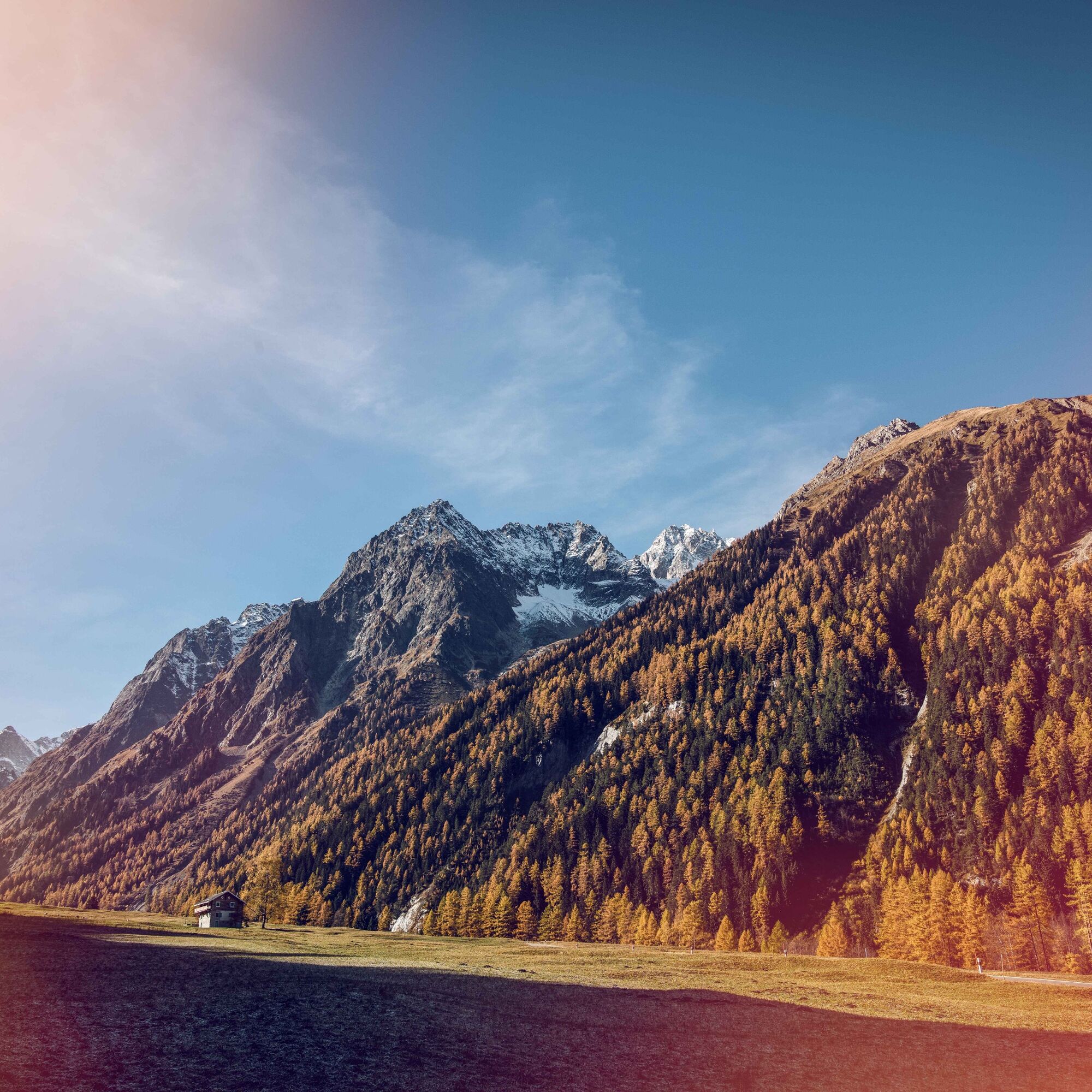
The route starts at Orsières train station and follows the Route de Ferret through Val Ferret towards Somlaproz for the entire ride. The ascent is not particularly steep and allows you to cycle at a good pace through green scenery while admiring numerous peaks enclosing the valley between Switzerland and Italy. Mont Dolent and the Aiguille d'Argentière are among the most remarkable in the area. As you climb towards the hamlet of Ferret, you will pass typical villages such as Praz-de-Fort and La Fouly. This pristine and relatively unknown valley is worth exploring by bike: the ascent is appropriate in difficulty and traffic on the road is limited.

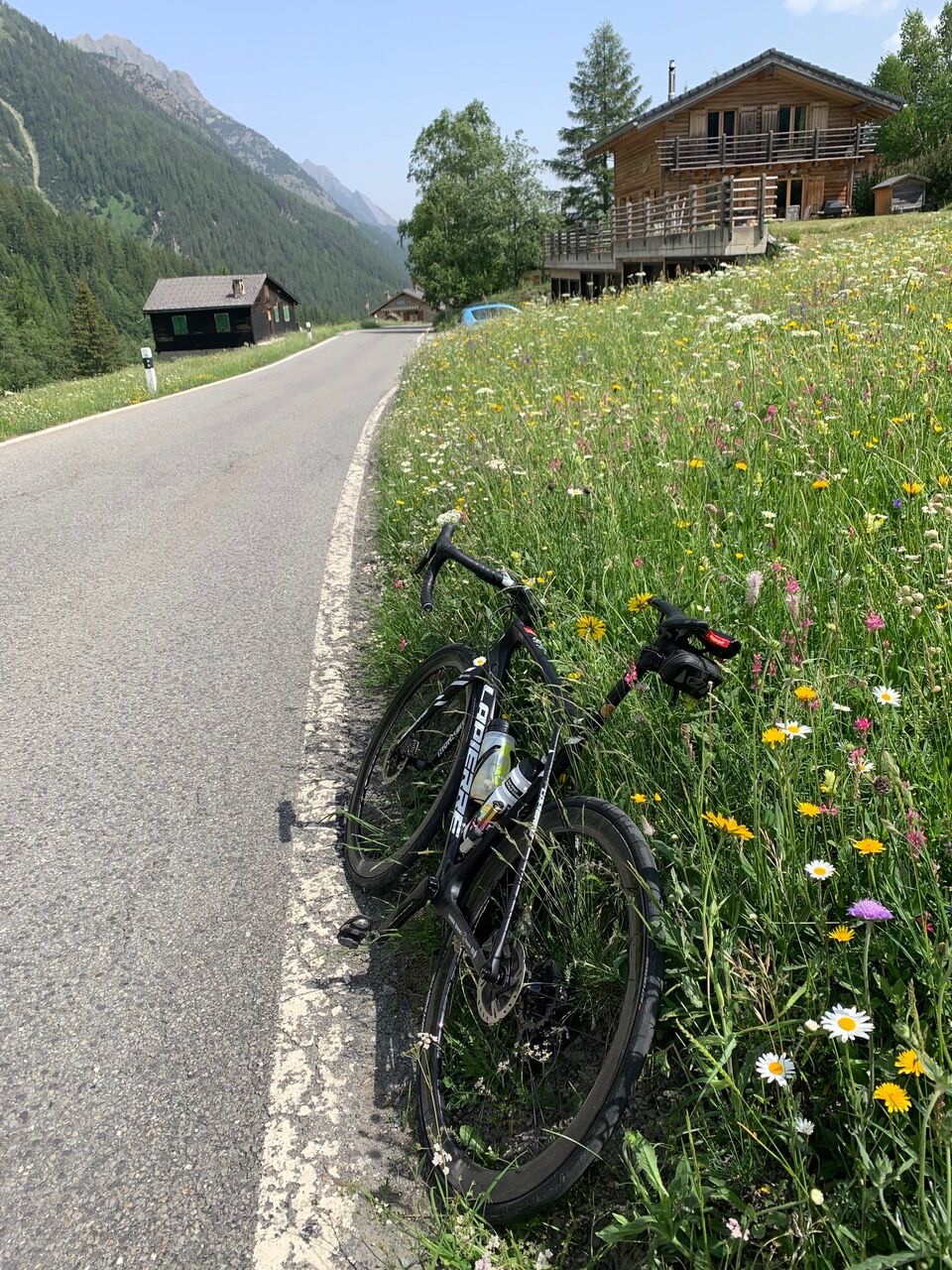
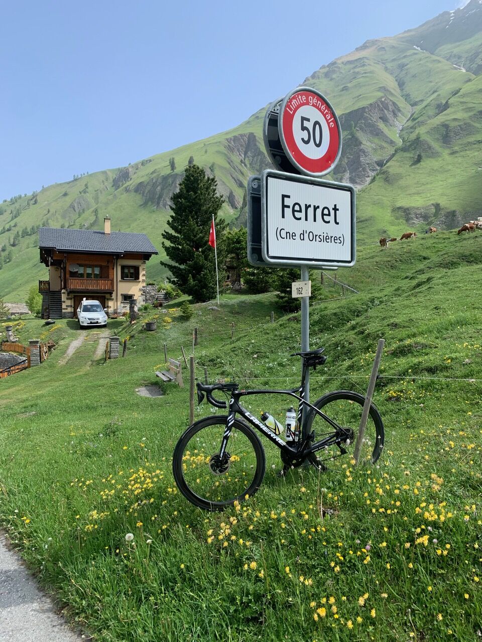
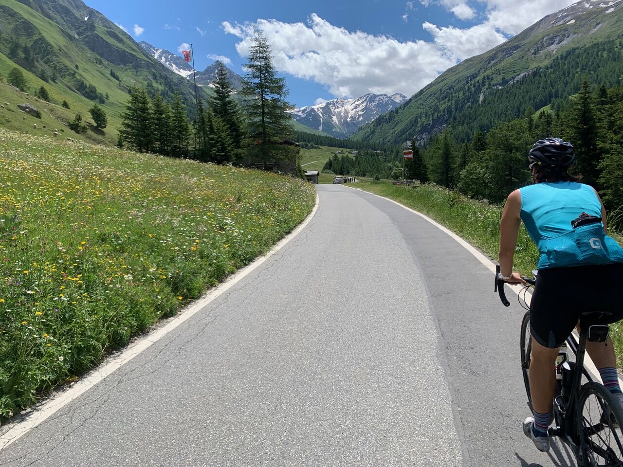

At Orsières train station, turn left onto Route de Ferret, which leads to the hamlet of Somlaproz. Follow this road for about 15 kilometers. Along the way, you will pass through the hamlets of Praz-de-Fort and Branche-d'en-Haut before reaching the village of La Fouly. Near the tourism office, keep left and continue for two kilometers on the road leading to the hamlet of Ferret.
Ano
Ano
Our recommendation: Technically sound bike, helmet, gloves and bell, weather-appropriate clothing (always carry rain protection), drinks and food.
Respect Swiss road traffic rules. Riding this route is at your own risk; any liability is excluded. Respect the flora and fauna around you. For your safety, we recommend wearing a bike helmet. Assess your own abilities and fitness well. Riding the different routes is always at your own responsibility.
Emergency numbers: 144 Ambulance / 117 Police / 1414 Rega
Motorway A9 from Lausanne or Sierre to the Martigny/Grand St-Bernard exit, then via Route du Grand-St-Bernard towards Sembrancher and Orsières (Route 21).
Take the SBB train to Martigny and then the St-Bernard Express to Orsières. Change trains at Sembrancher.
Parking spaces at Place Centrale in Orsières.
3
More information about the destination:
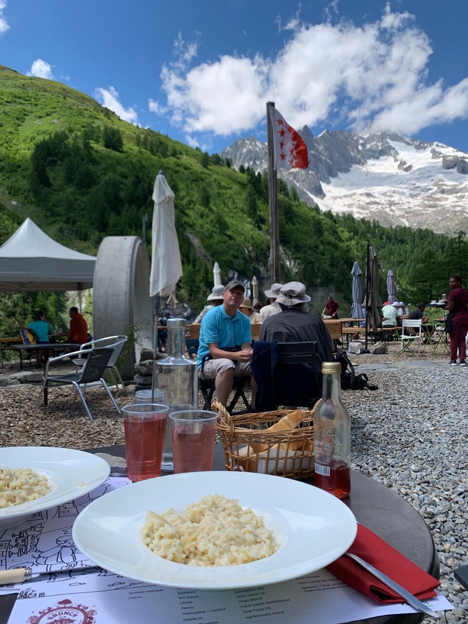
Pays du St-BernardAfter your arrival in Ferret, enjoy a risotto served in a cheese wheel at Alpage des Ars or the traditional gratinated Crozets.
Webové kamery z prohlídky

Oblíbené prohlídky v okolí
- 5.0
„Tour du Mont Blanc“ - The most beautiful hike in Europe through France, Italy and Switzerland.
středníTuristika 183.6 km - 5.0
Les cols du Grand-St-Bernard
heavyTuristika 11.9 km - 5.0
Huts of Orny and Trient
heavyTuristika 13.4 km - 5.0
From Cabane Brunet to Cabane FXB Panossière
středníTuristika 6.87 km - 4.2
Super mooi
heavyTuristika 11.1 km - 4.5
Vineyard terrace hike in Martigny
světloTuristika 6.36 km - 4.5
Grand Chenalette, Pointe de Drone Rundwanderung
heavyTuristika 6.01 km - 4.0
Six blanc depuis Cabine
středníLyžařská trasa 5.85 km - 4.0
Through the original valley "La combe de l’A"
heavyTuristika 21.2 km - 5.0
Orsières - Arpette - Cabane d'Orny - Cabane du Trient
heavyTuristika 12.1 km
Pěší turistika a stopování


Nenechte si ujít nabídky a inspiraci pro vaši příští dovolenou
Vaše e-mailová adresa byl přidán do poštovního seznamu.





