






Through the original valley "La combe de l’A"

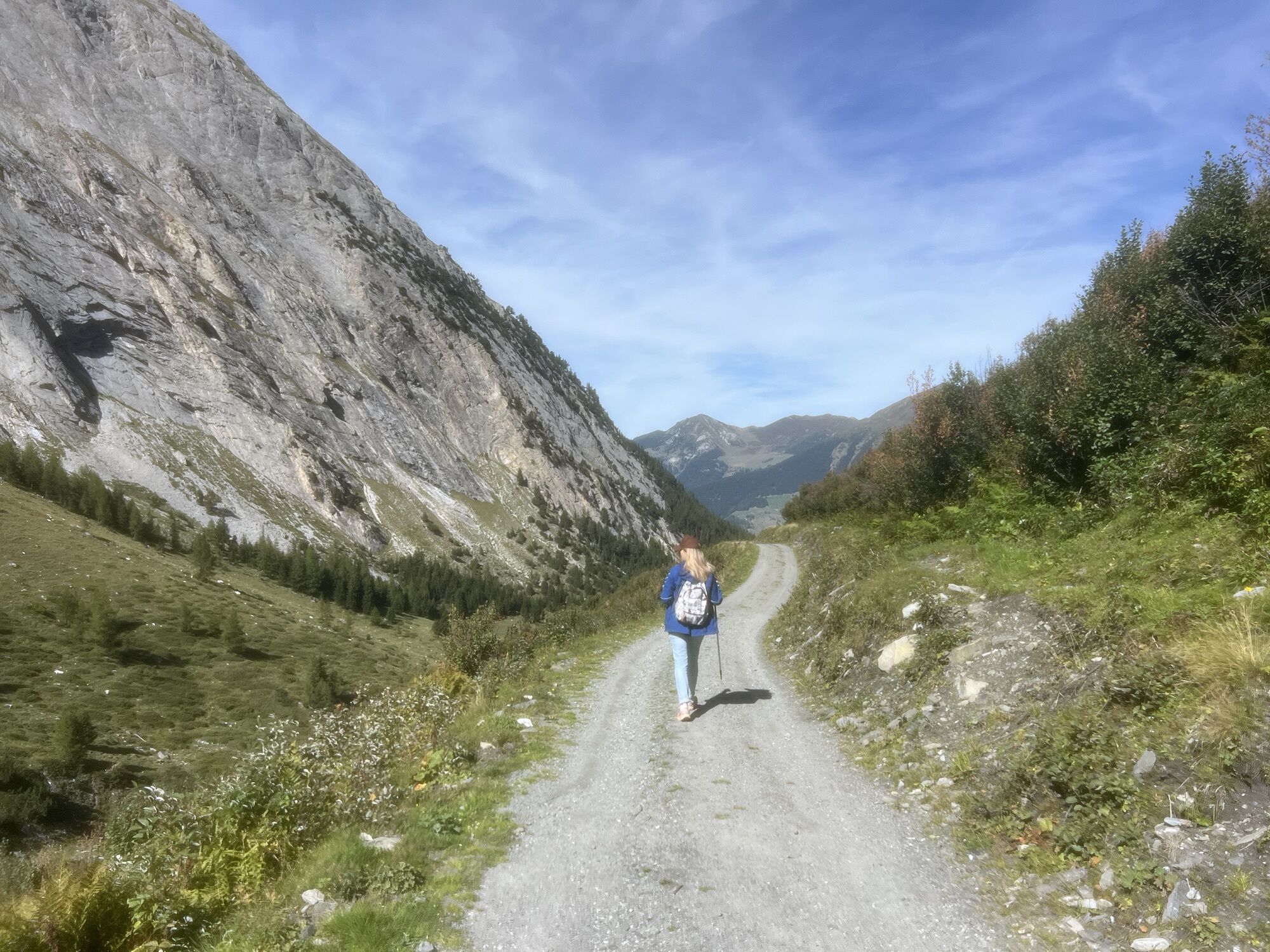
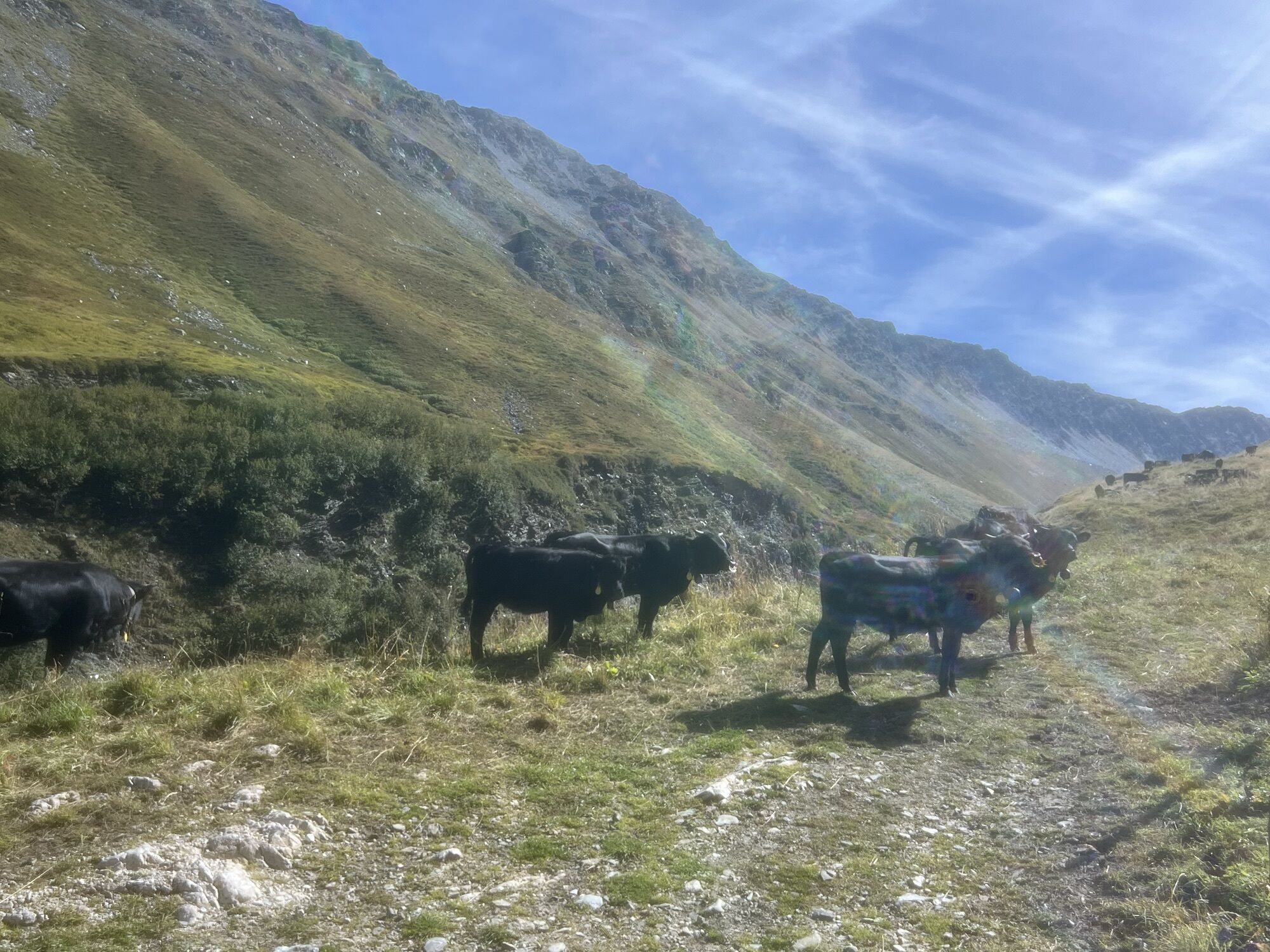
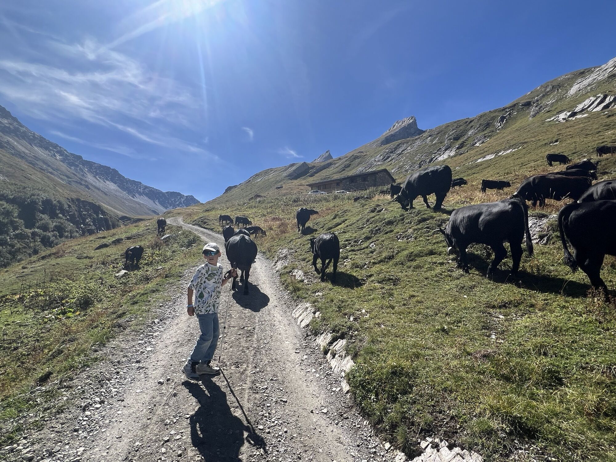
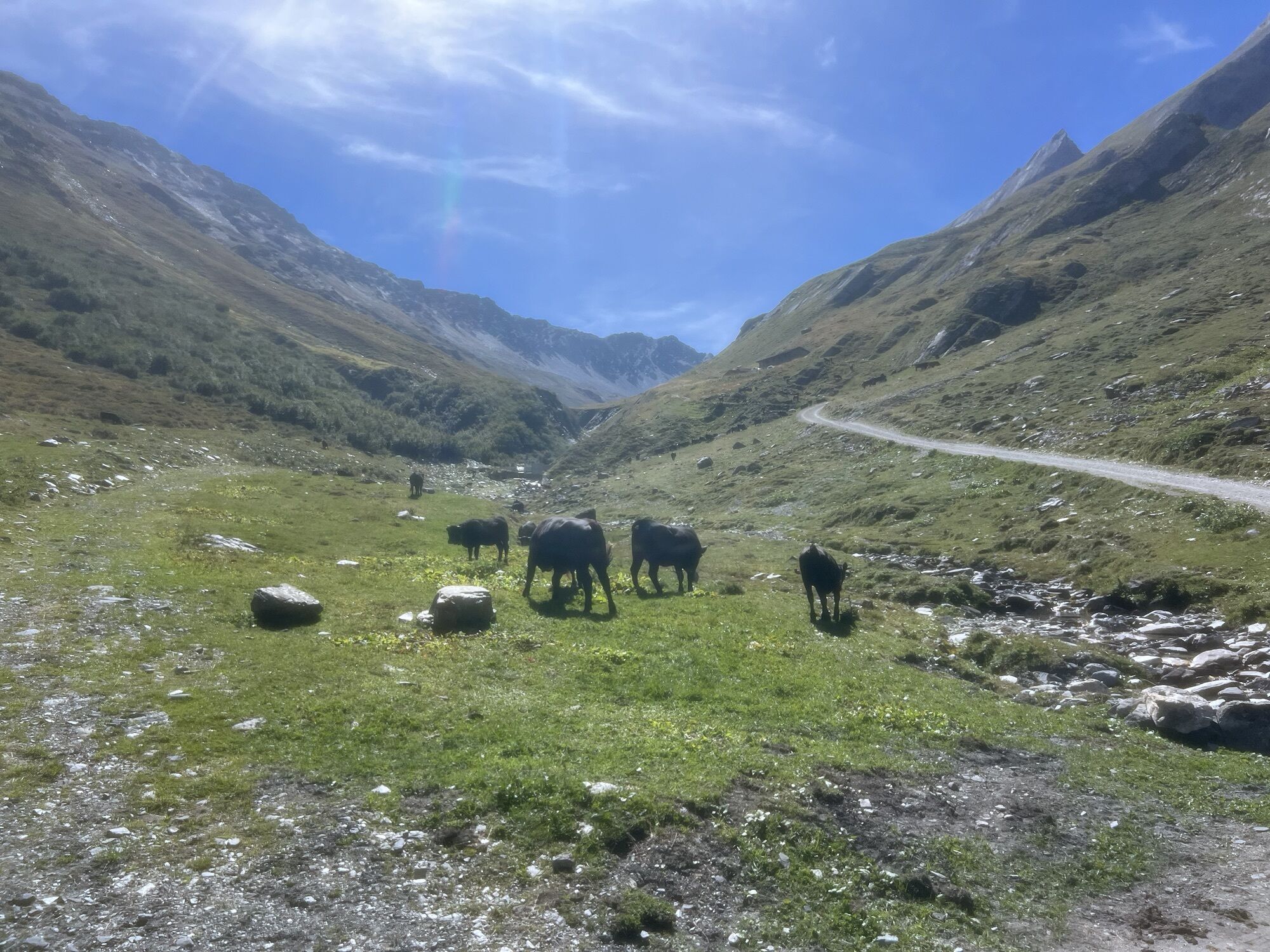
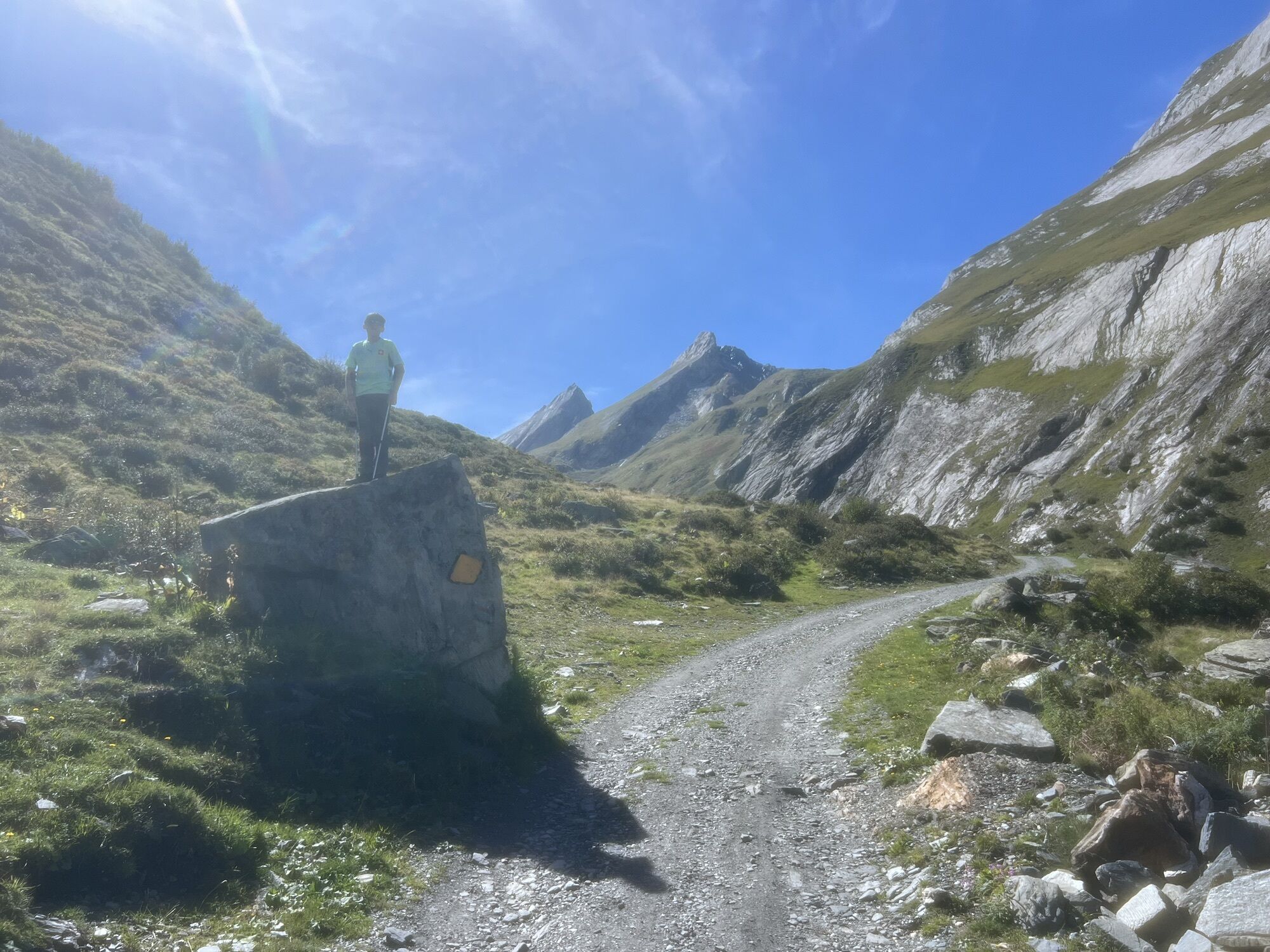
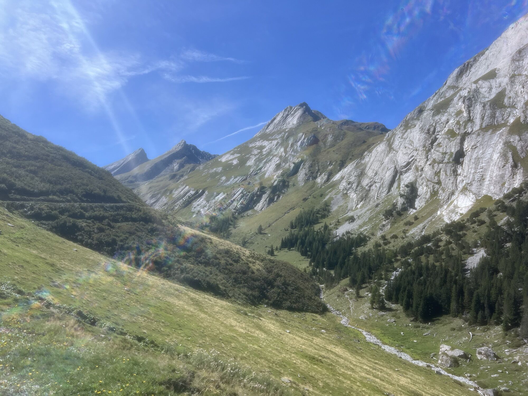


The "Combe de l’A" is a side valley located between the Val de Ferret and the Val d’Entremont that reaches up to the Great St Bernard Pass. The Val d’Entremont was an important transit route for centuries...
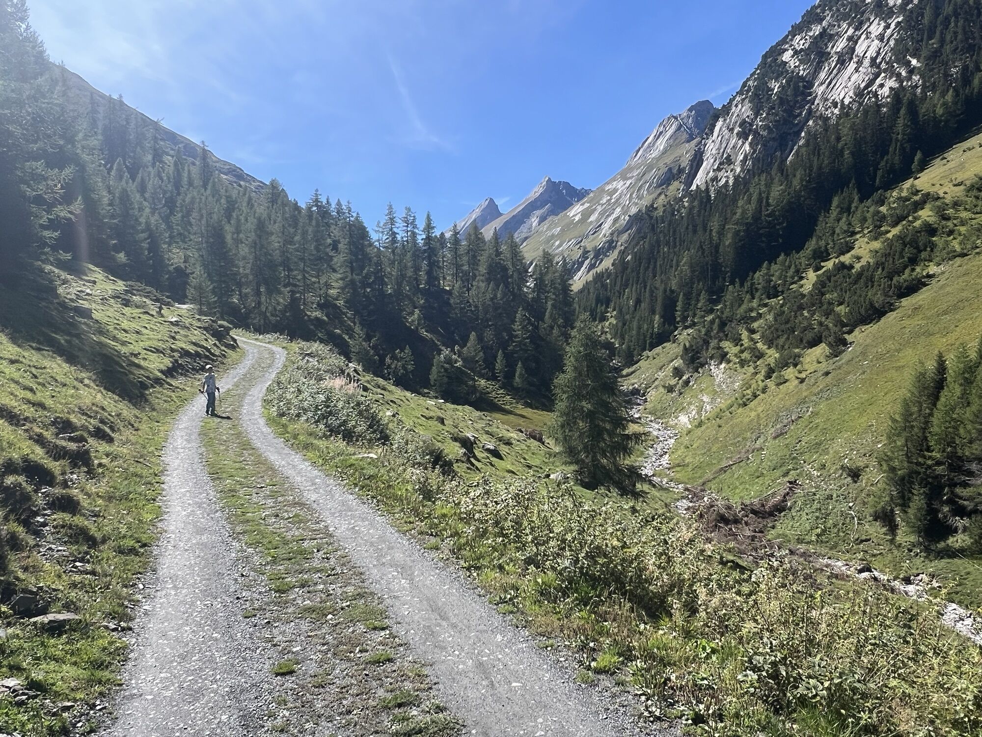
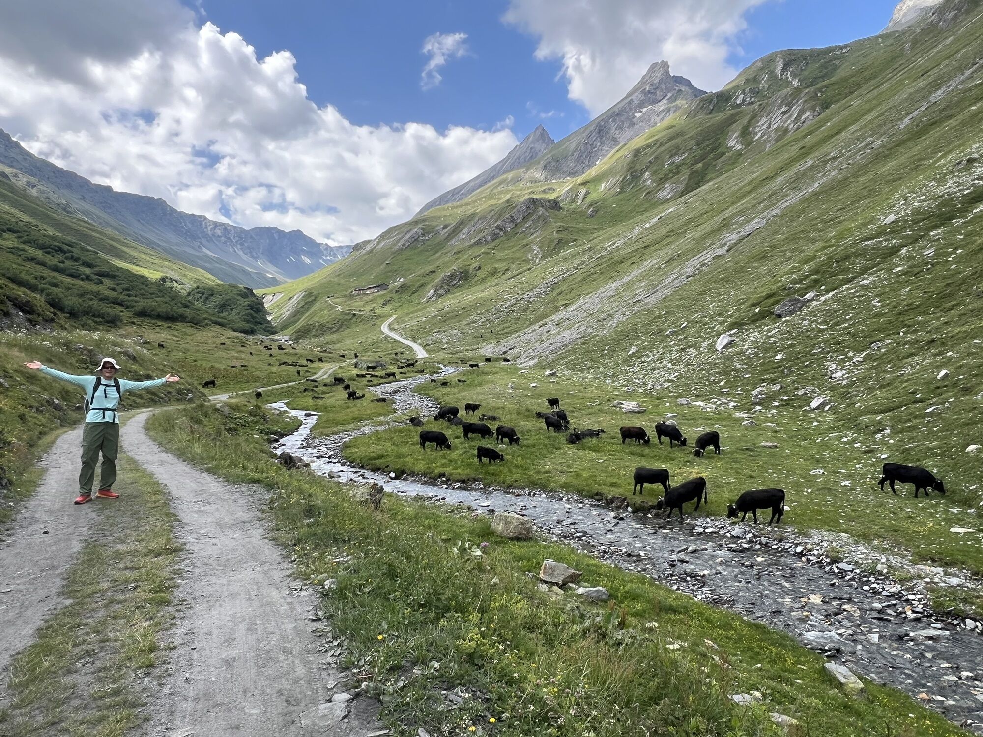
The "Combe de l’A" is a side valley located between the Val de Ferret and the Val d’Entremont that reaches up to the Great St Bernard Pass. The Val d’Entremont was an important transit route for centuries and was therefore heavily frequented. The "Combe de l’A", on the other hand, remained untouched and has been preserved in its original form to this day. The valley is now a nature reserve and habitat for alpine flora and fauna, extending from 1,400 m a.s.l. to 3,000 m a.s.l.
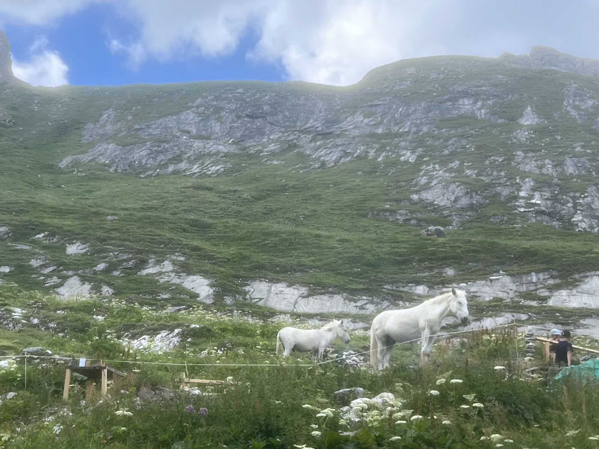
This hike offers ideal conditions for discovering alpine wildlife; with a bit of luck, you may see the following animals: ibex, deer, marmots, ravens, and golden eagles. Information panels along the hiking trail explain how the landscape has been shaped by water, snow, and ice over the years.
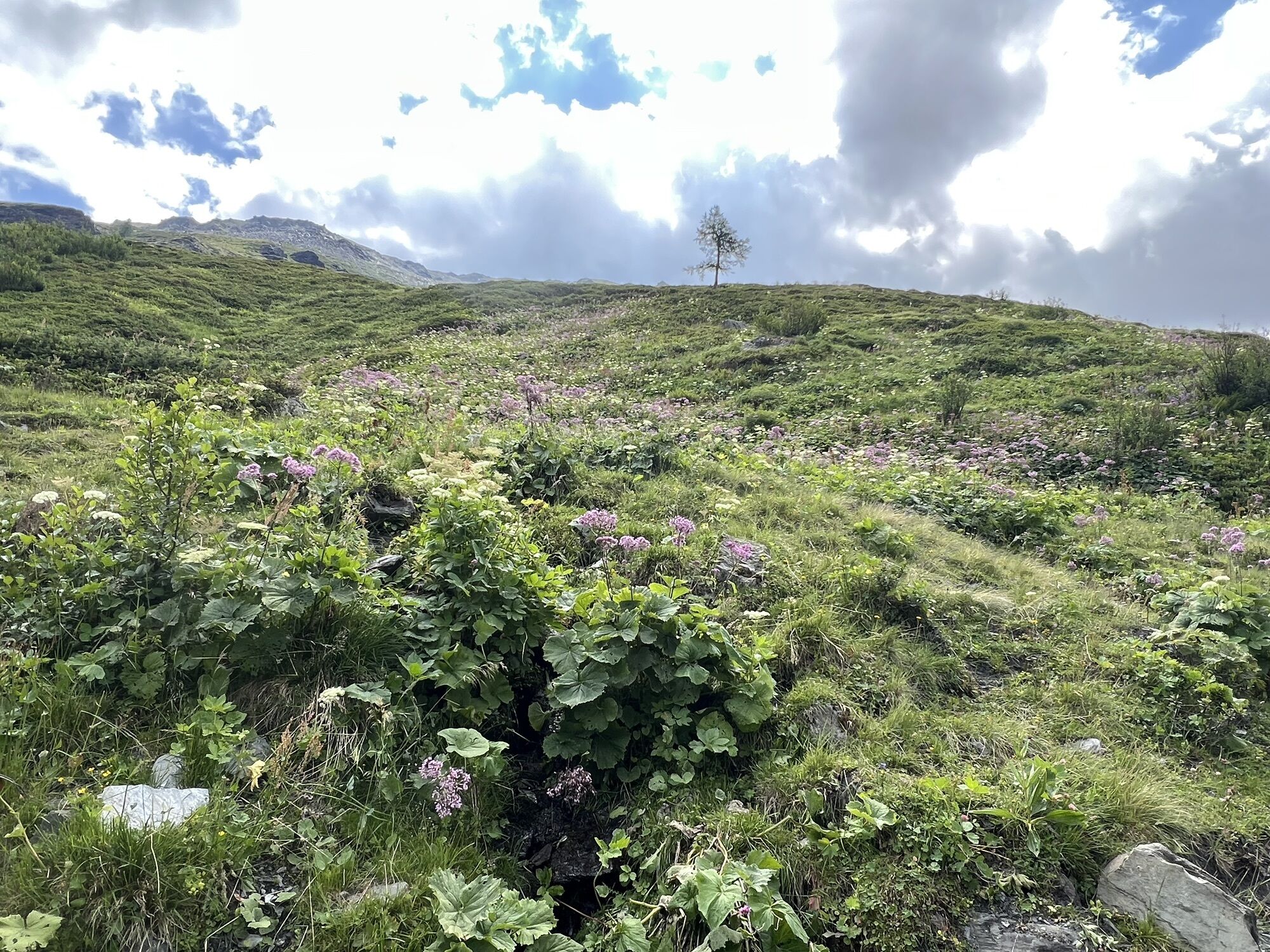
The upper part of the valley is snow-covered for a long time, but in late spring, the valley awakens from its winter sleep and shines in a wonderful riot of colors. In autumn, especially at dawn and dusk, a special spectacle takes place: the deer mating season has begun, and their unmistakable roaring can be heard.
The path leads through a variety of alpine landscapes: forest, wetlands, pastures, dry meadows, steadily ascending above the tree line. The highlight of the hike is offered to you at the very end: from the "Col du Névé de la Rousse" (2,751 m a.s.l.) you have a breathtaking view of the Val Ferret and the Mont Blanc massif.
The route leads back the same way to the starting point. About halfway there is a mountain hut, the Cabane de la Tsisette, where friendly staff serve snacks and meals from the end of June to mid-October.
Highlights of the hike:
An original and almost untouched valley Richness and diversity of flora and fauna: golden eagles, deer, wildflowers, and fascinating geological features. Inviting mountain hut halfway through.
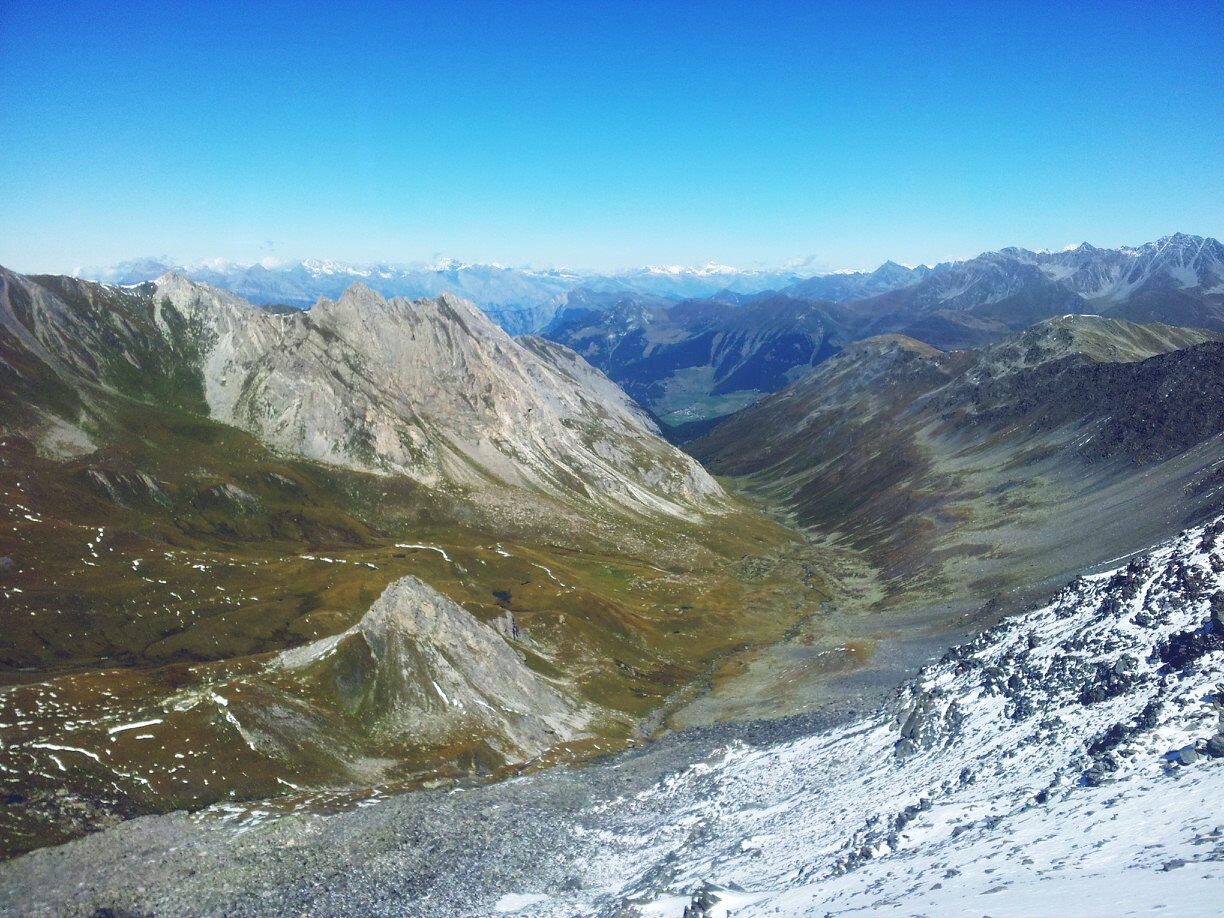
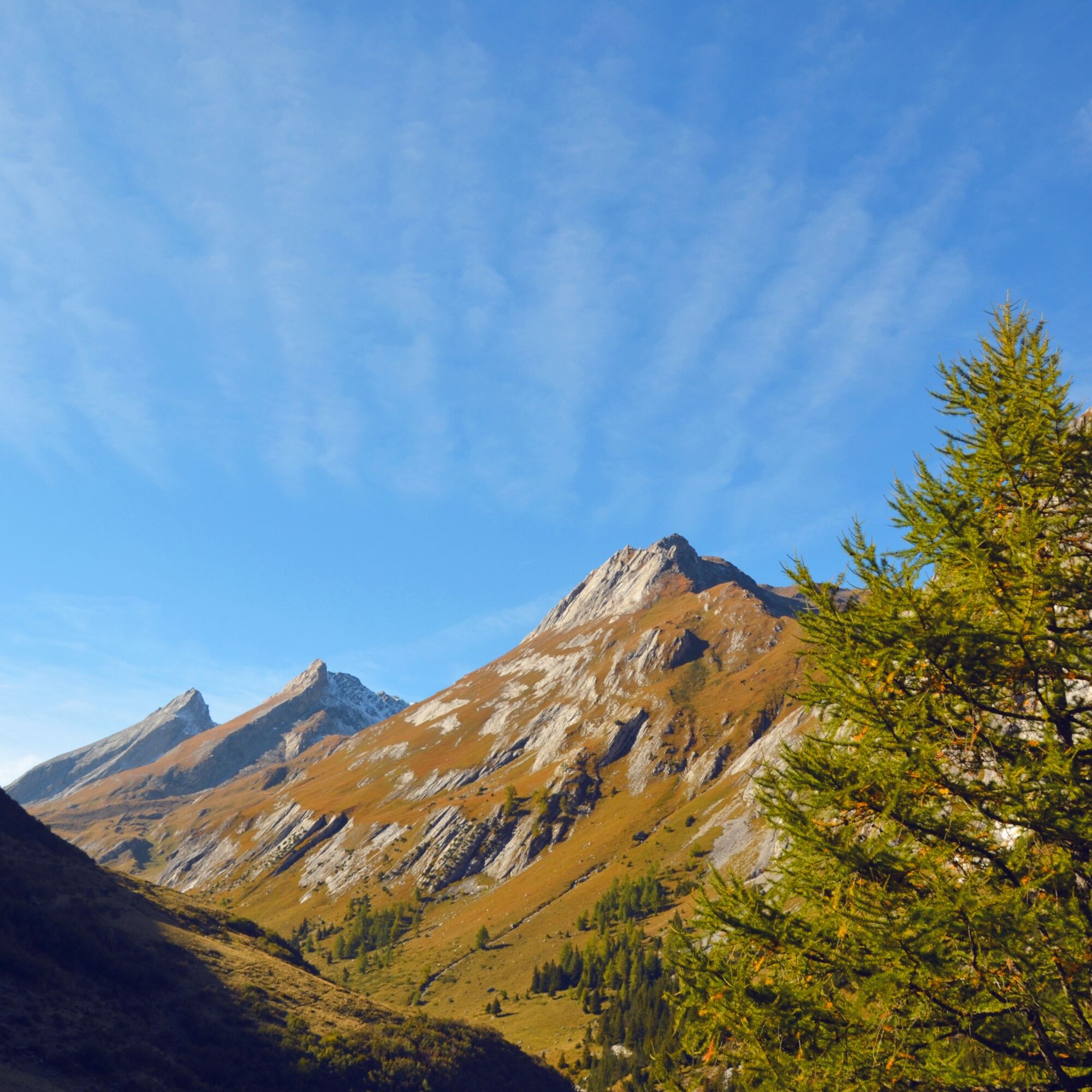
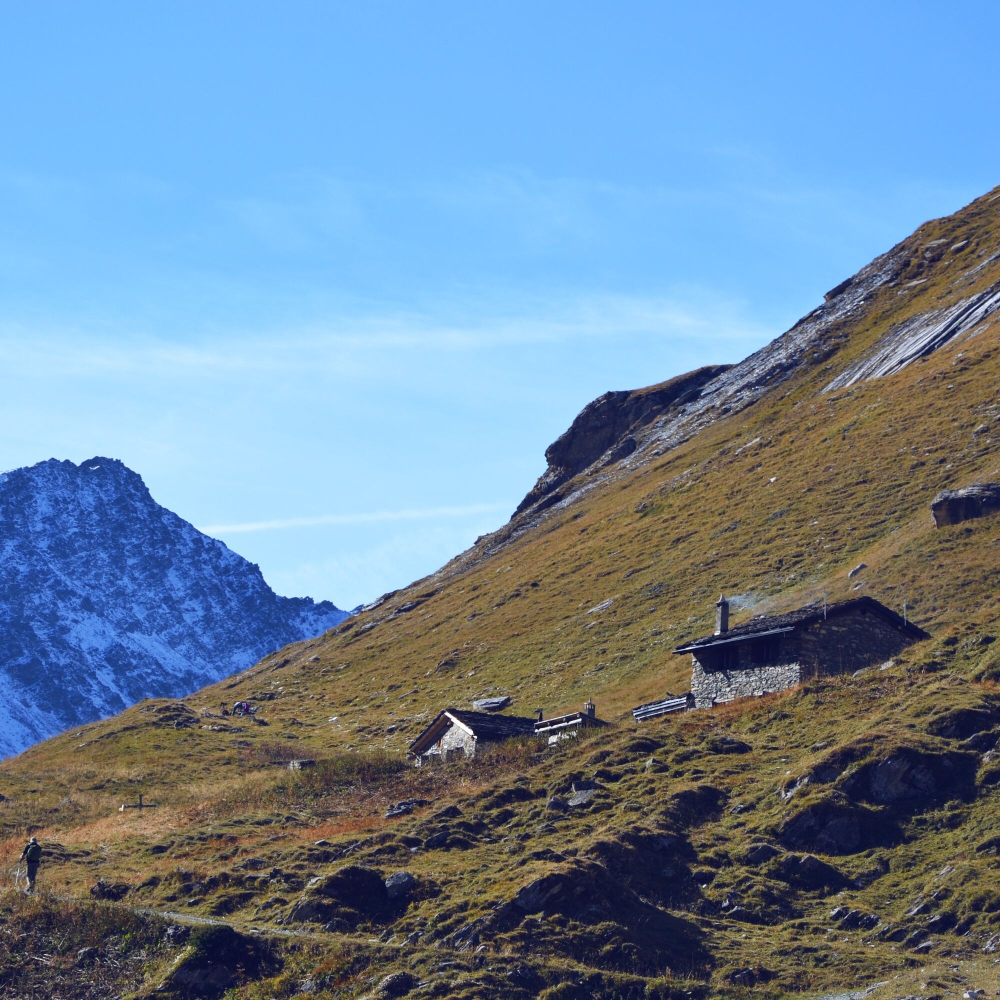
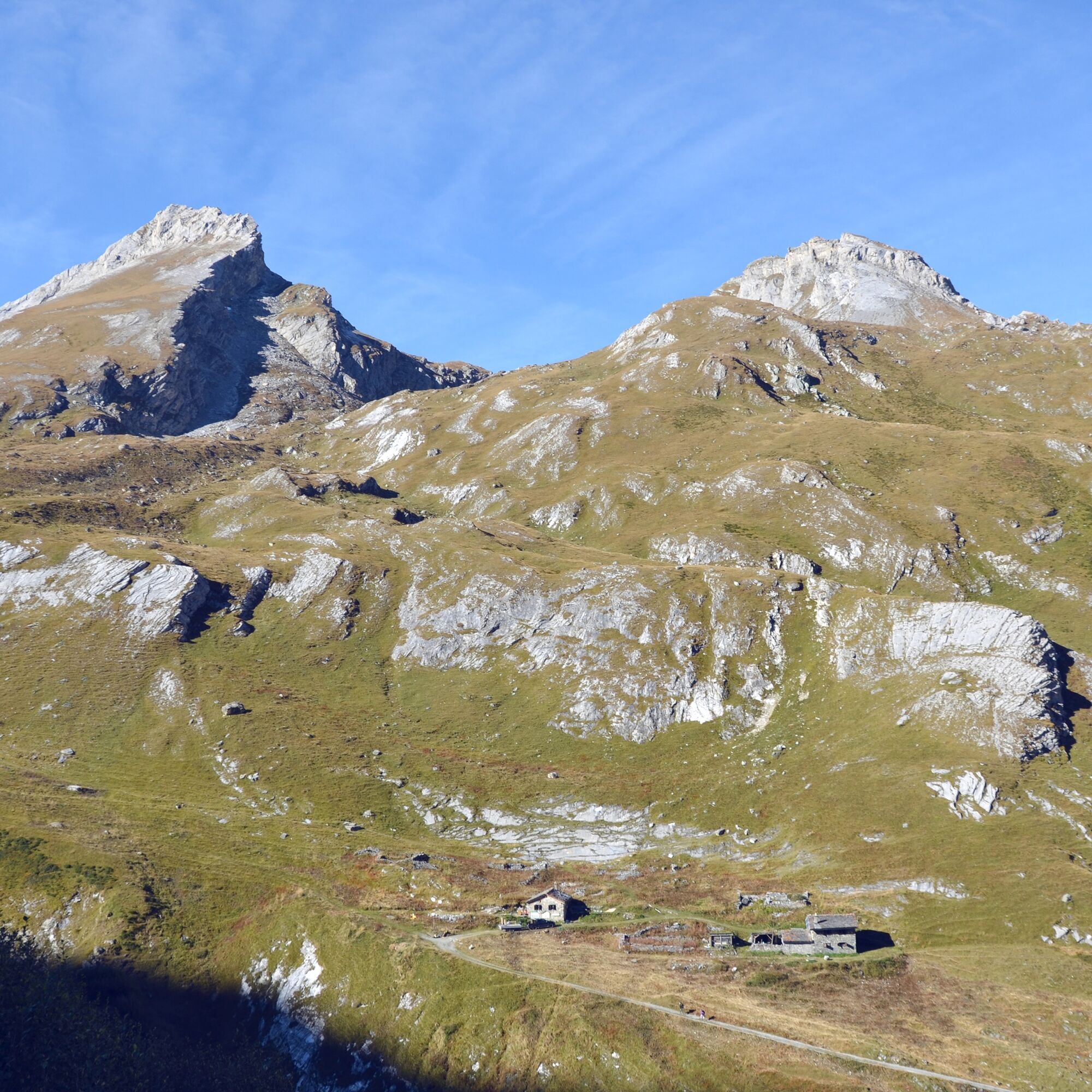

A few meters from the chairlift station, a large wooden signpost shows the way to the valley "Combe de l’A". In the first section, the path leads through a forest where the slopes are crossed until you finally reach the mountain stream "Torrent de l’A". From here, the route leads back uphill along the stream. Just before the mountain hut, you cross it again. Another ascent over extensive alpine pastures in the Vouasse area leads to the last section up to the pass "Col du Névé de la Rousse", which connects to Val Ferret.
Return the same way to get back to the starting point of the hike.
If you travel by public transport, the start and end of the hike is in Liddes. From there, you go down, cross the stream, and finally reach the hamlet of Dranse. Follow the footpath to Vichères to the car park at the chairlift. Allow an additional 1.5 hours per way.
Ano
Ano
We recommend:
Good footwear Weather-dependent clothing: always carry a waterproof vest Headwear Sunscreen Water bottle Picnic Camera Binoculars (optional) Walking poles (optional) Printout of the hiking trail (click "Print" to download)For certain hikes:
SwimsuitThe mountains, a place of joy to share and respect. The mountain world is a place to meet and experience unforgettable moments together – whether by bike or on foot. For everyone to benefit from it, it is essential to share this space with respect for nature and agriculture. Respectful behavior allows everyone to carry out their leisure activities under the best conditions. Inform yourself about recommendations and rules. Assess your own skills and fitness well. Using the various routes is always at your own risk.
For all hikes:
Carry a map with you. Download the complete description of the hiking trail with a large-scale map by clicking "Print" at the top right of the page. Use only marked hiking trails and observe all signposts and instructions – for your own safety, to protect grazing animals, and out of respect for wildlife. Close gates after passing through them. Behave considerately towards other trail users, plants, and animals.For mountain hikes:
Carry additional sun protection. UV rays at high altitudes can be very strong, even in cloudy weather. Plan your hike carefully: consider the required fitness level of all participants, weather forecasts, and seasonal dependencies. Weather conditions in the mountains can change very quickly and without warning. Appropriate clothing and sufficient provisions (food and drink) are very important. In unstable weather, it’s better to turn back early.For high alpine hikes:
Inform your family about your hiking route. Avoid being alone if possible. Do not venture onto glaciers without a mountain guide. Observe warning signs indicating dangers on riverbanks, along watercourses below dams and reservoirs: water levels can rise quickly and without warning.Motorway A9, exit 22 (Gd St-Bernard). Follow the signs to Grand St-Bernard until Liddes, then turn right and follow the signs to Vichères (chairlift).
Train to Martigny, change to the St-Bernard Express train towards Le Châble. Change at Sembrancher to the train to Orsières. There, change to the post bus which takes you to Liddes. Detailed timetables for trains and post buses are available at sbb.ch.
The start and end point of the hike is in Liddes, which means an extra 4.5 km (1.5 hours) each way.
Free parking in Vichères by the chairlift.
Take a magnifying glass so you can closely examine the various flowers, stones, and minerals during the hike.




Oblíbené prohlídky v okolí
-
5.0
„Tour du Mont Blanc“ - The most beautiful hike in Europe through France, Italy and Switzerland.
středníTuristika 183.6 km -
5.0
Les cols du Grand-St-Bernard
heavyTuristika 11.9 km -
5.0
Huts of Orny and Trient
heavyTuristika 13.4 km -
4.2
Super mooi
heavyTuristika 11.1 km -
4.5
Grand Chenalette, Pointe de Drone Rundwanderung
heavyTuristika 6.01 km -
5.0
Courmayeur - Rifugio Walter Bonatti - Malatrà Desot - Giué Desot
středníTuristika 5.45 km -
5.0
Via Francigena - vom grossen Sankt Bernhard nach Rom
středníTuristika 23.6 km -
4.7
Monte Flassin
světloLyžařská trasa 14.6 km -
5.0
Orsières - Arpette - Cabane d'Orny - Cabane du Trient
heavyTuristika 12.1 km -
Chemin des villages et hameaux d'Entremont
světloTuristika 13.8 km
Pěší turistika a stopování


Nenechte si ujít nabídky a inspiraci pro vaši příští dovolenou
Vaše e-mailová adresa byl přidán do poštovního seznamu.





