


Valais Alpine Bike 7. St-Luc - Grimentz
Úroveň obtížnosti: S2

Your route starts at Tignousa, at the top of the St-Luc funicular. Follow the Val d'Anniviers Weisshorn Bike to Combavert, then turn right, cross the river and take the path that runs along the hillside...
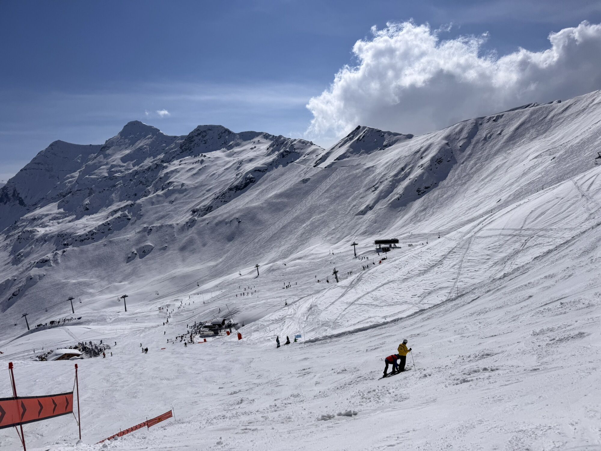
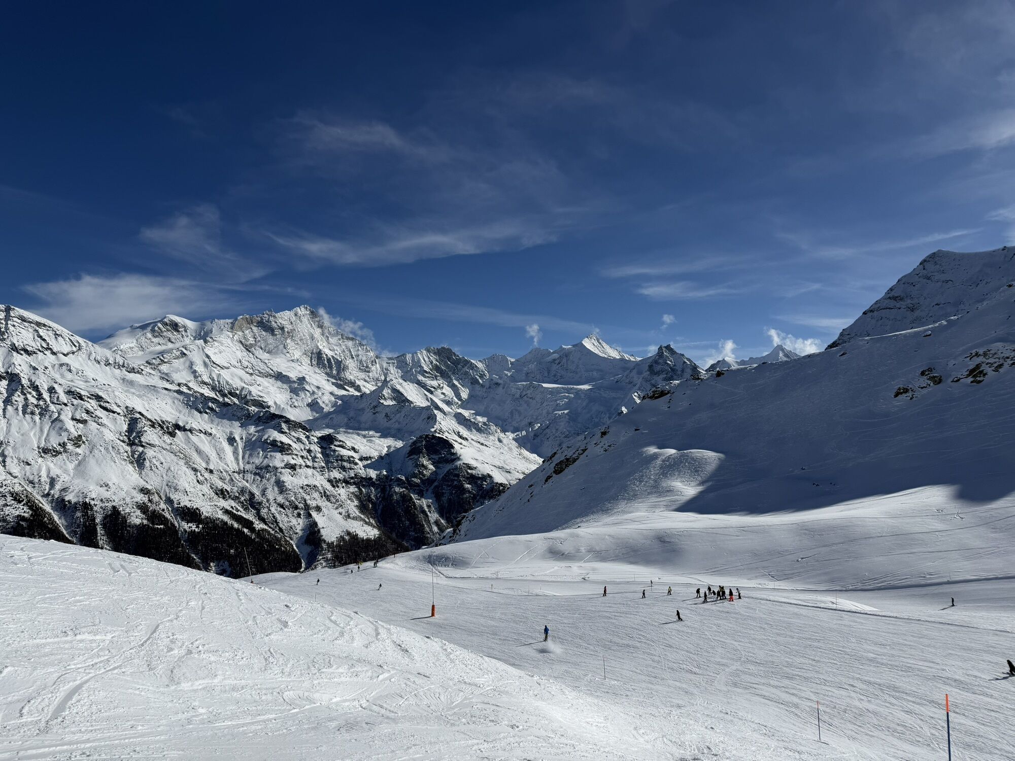
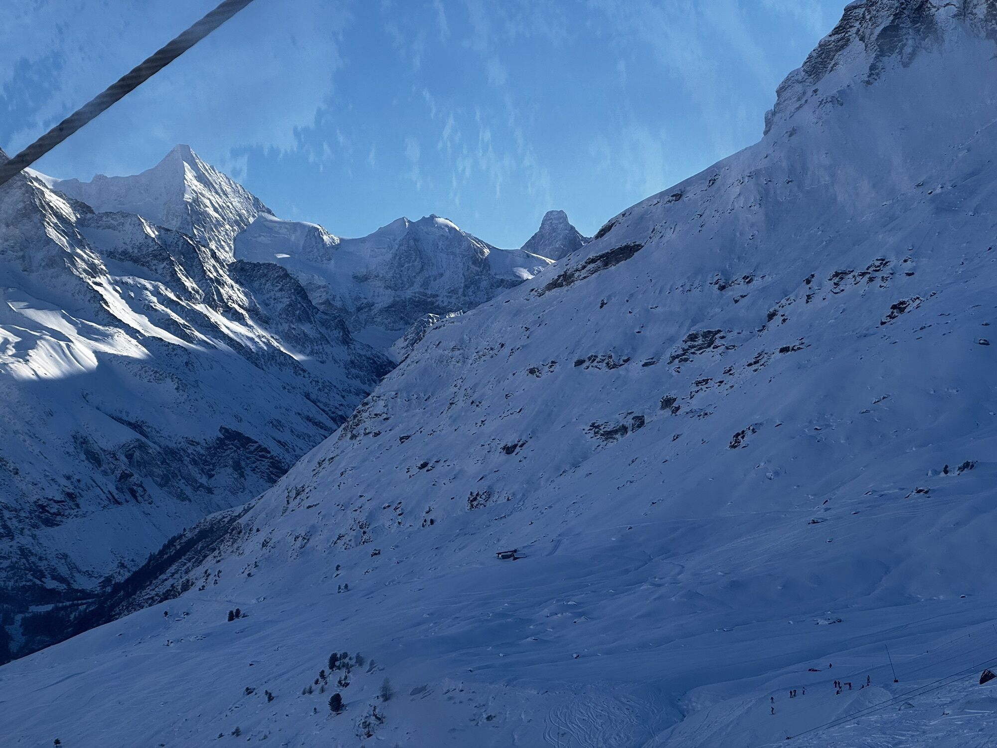
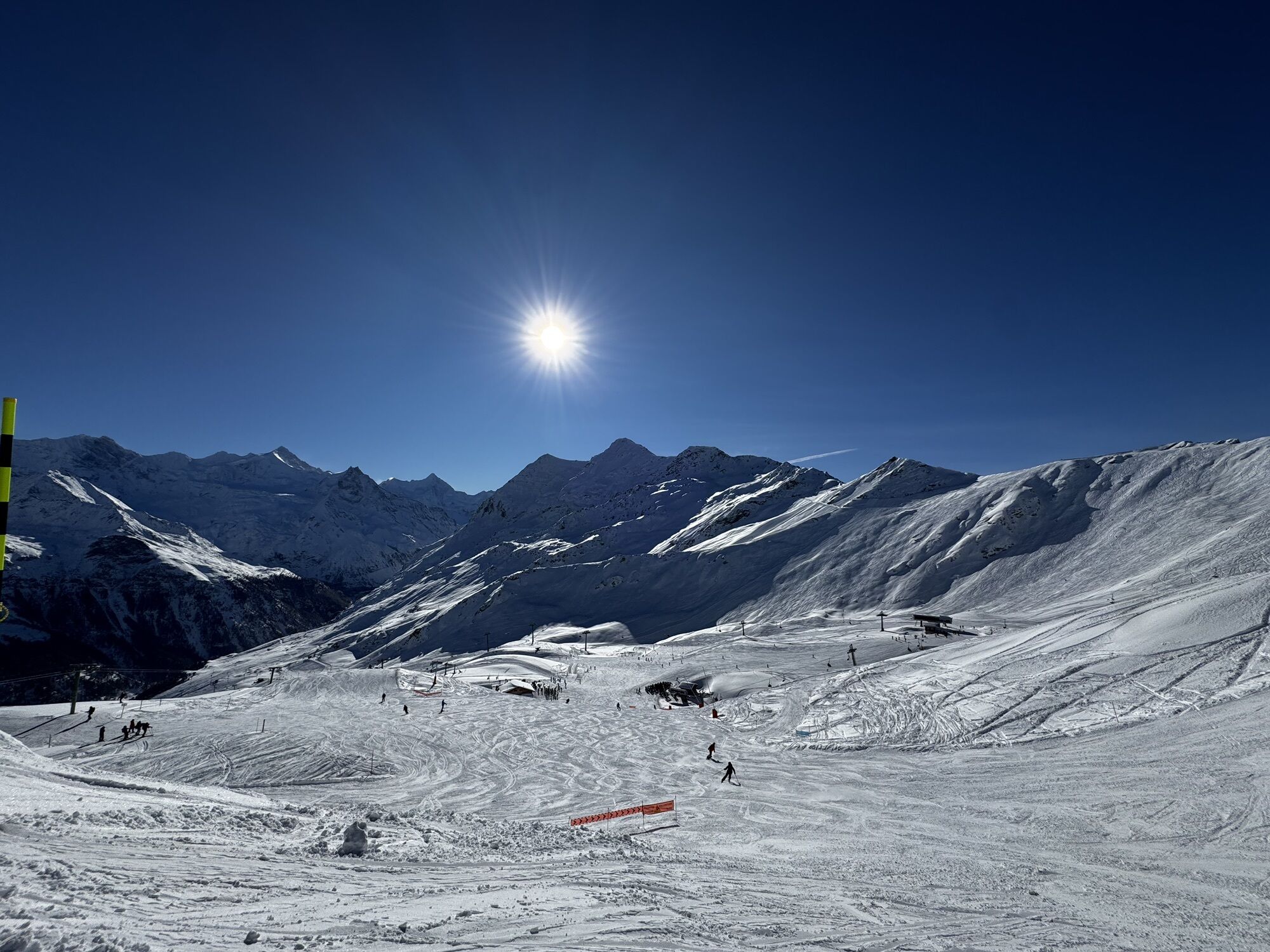
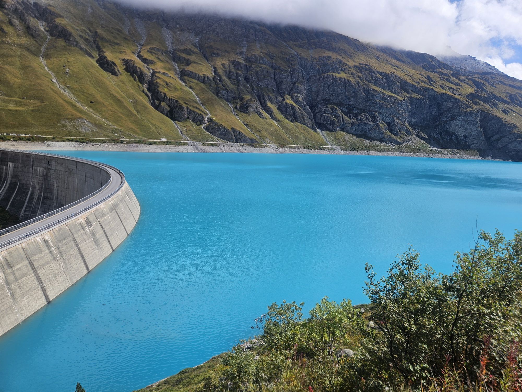
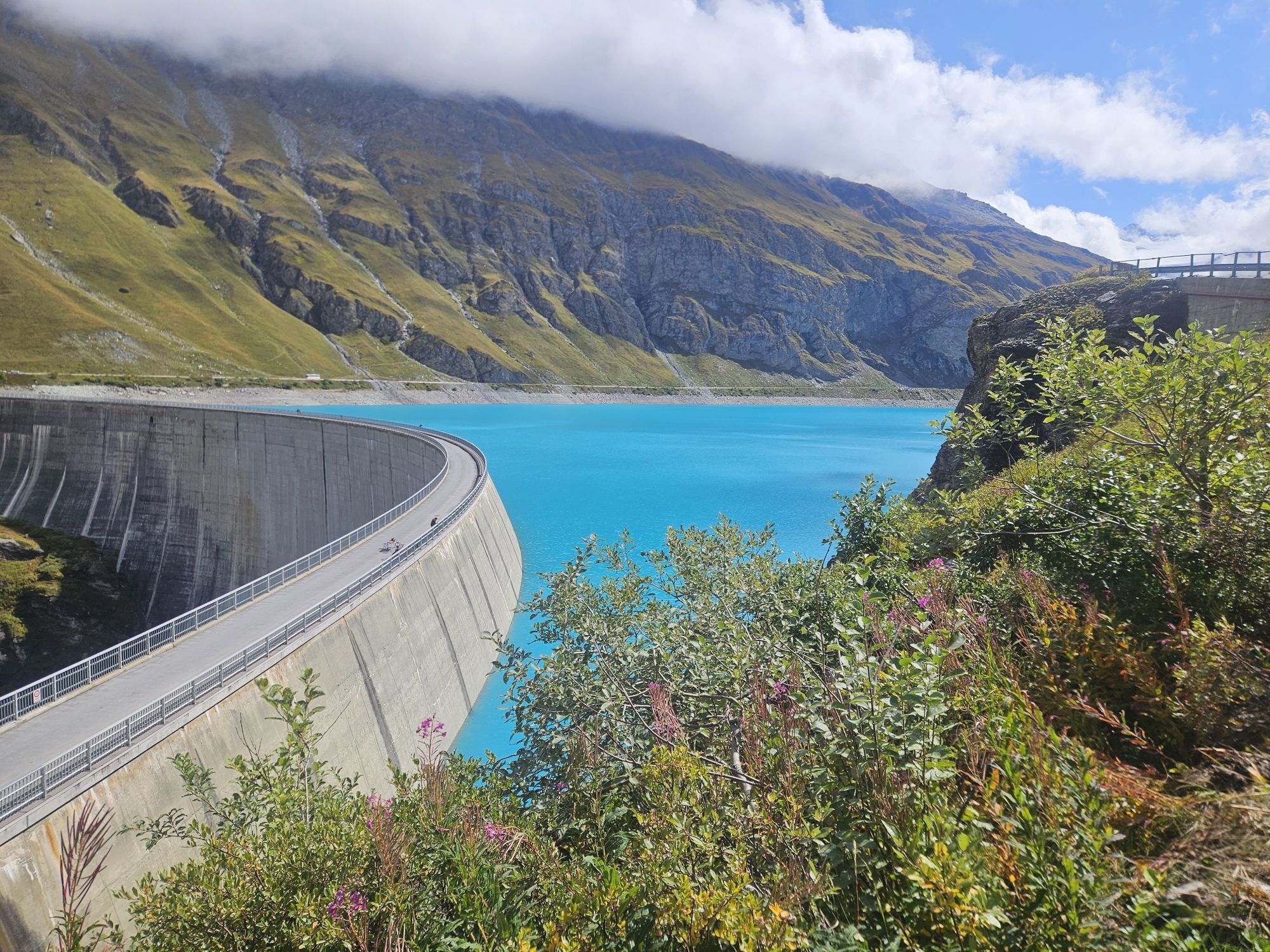
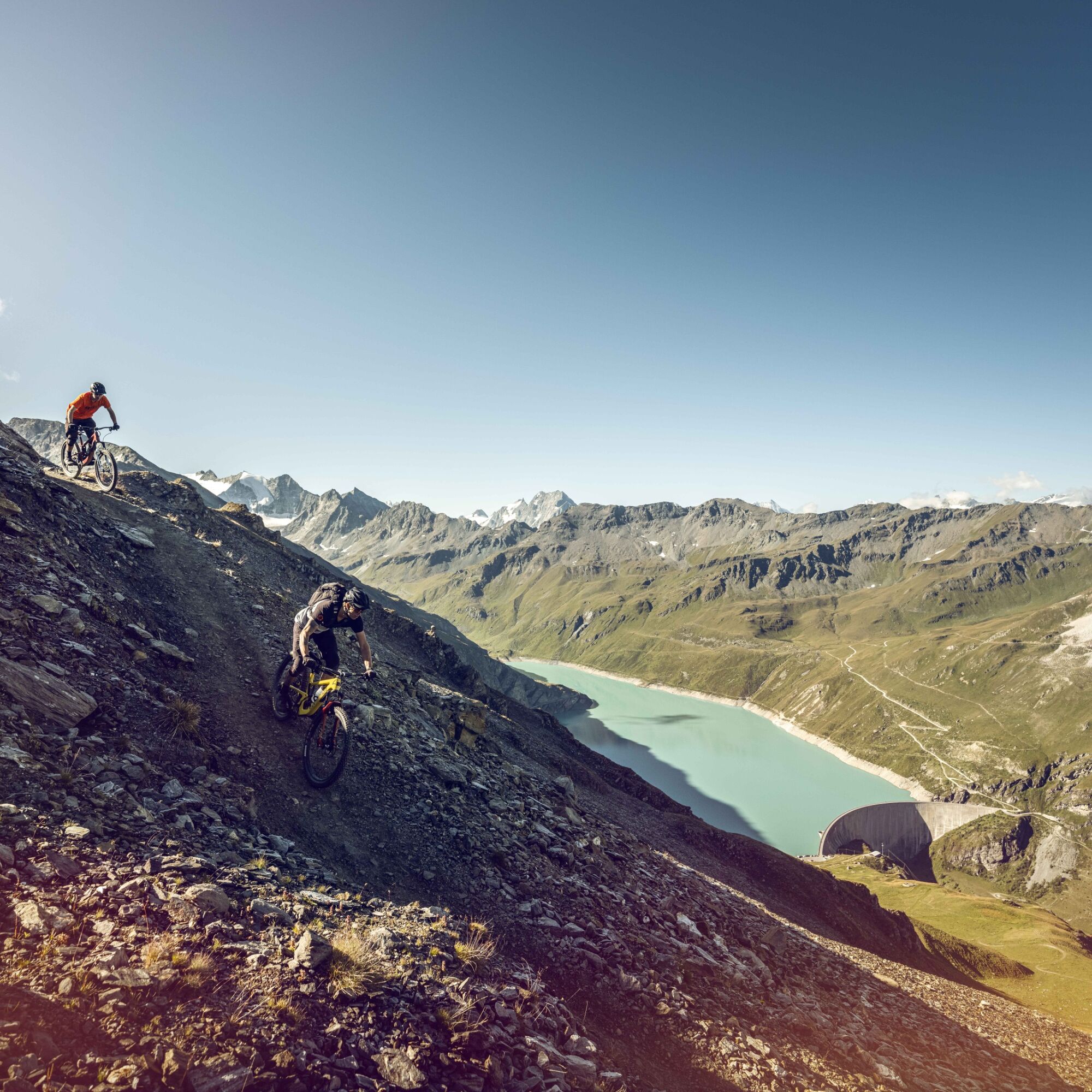
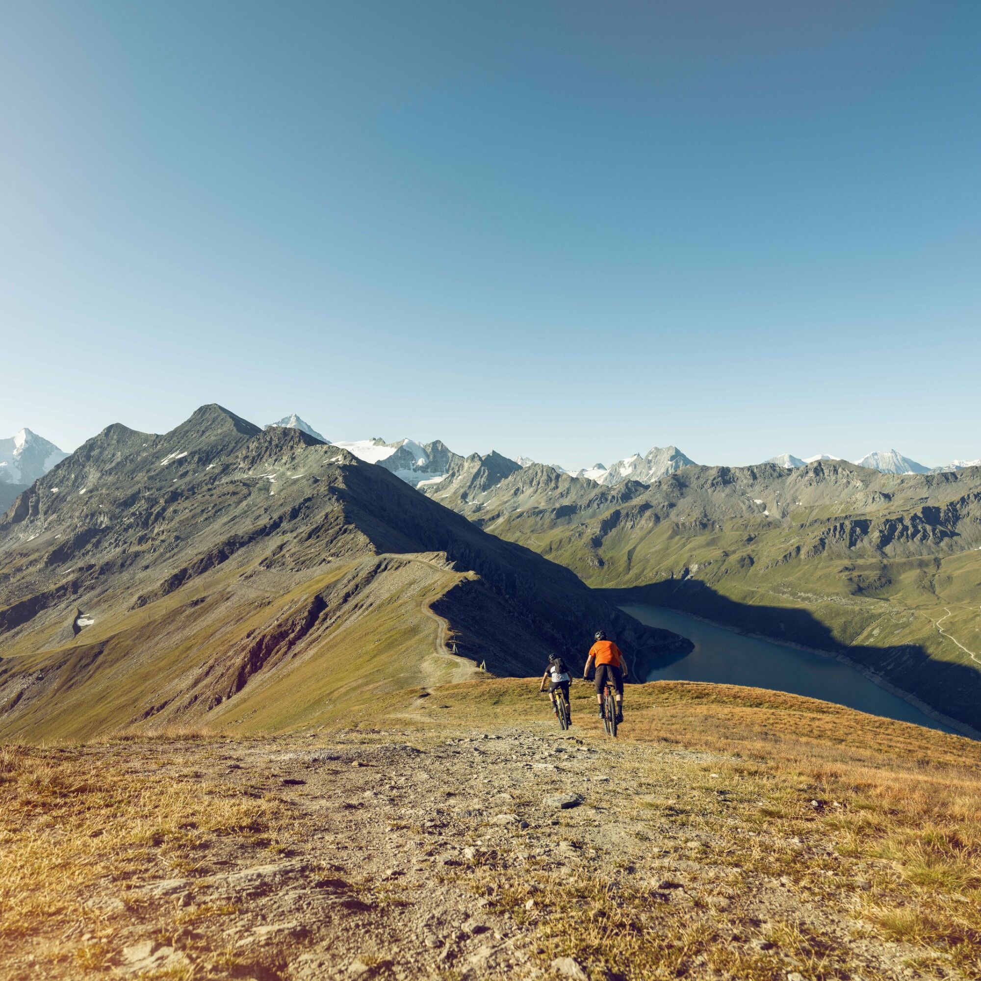
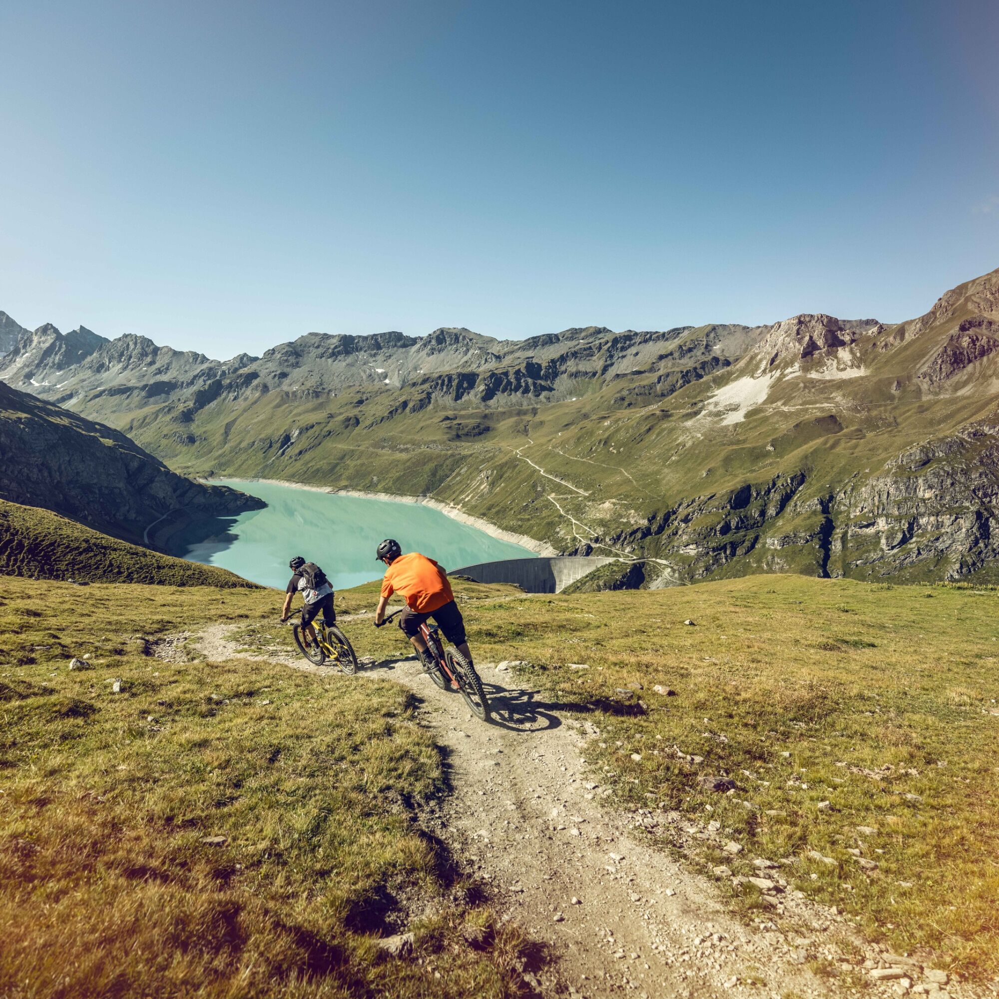
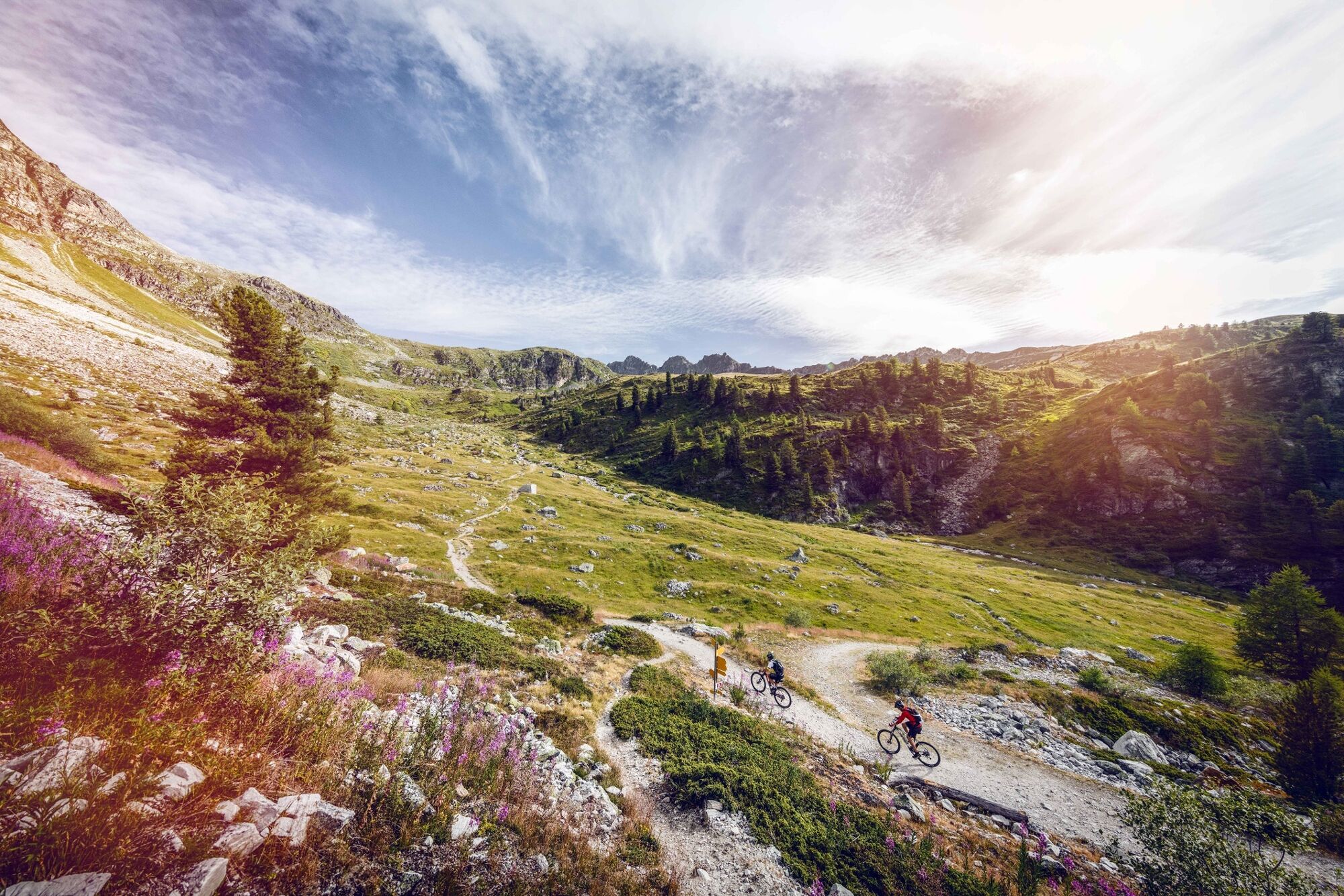
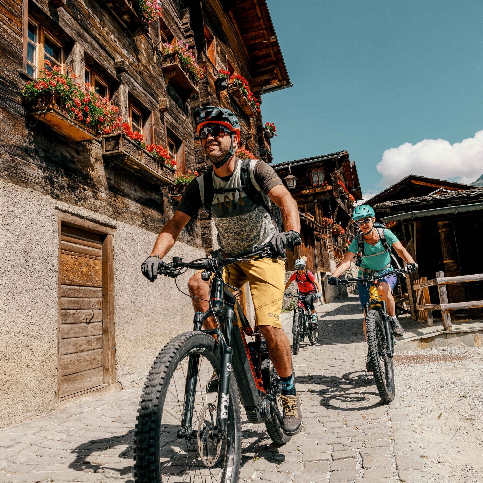
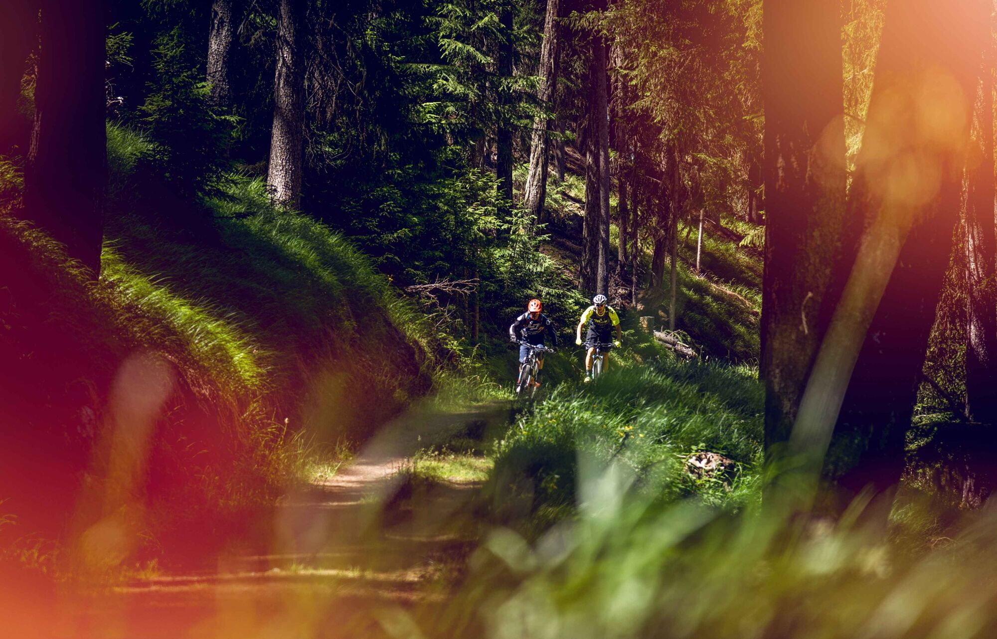
Your route starts at Tignousa, at the top of the St-Luc funicular. Follow the Val d'Anniviers Weisshorn Bike to Combavert, then turn right, cross the river and take the path that runs along the hillside below the Hotel Weisshorn. Continue through the alpine meadows and forests, before ascending a rural track to the Nava alpine meadow. From here, you’ll start a long descent on a wide path, followed by a very technical trail (S3) that plunges down to the village of Mottec. After climbing up the valley to Zinal, board the Sorebois gondola which will take you nearly 1,000 metres higher in a few minutes. Get on your mountain bike and ride to the Corne de Sorebois, from where you can enjoy a breathtaking view of the surrounding 4,000 m peaks. Then begins a long descent on a path that offers a splendid view of Lac de Moiry. From the dam wall, you’ll link up with the route of the legendary Grand Raid BCVS race to finish your day in Grimentz.

View the stage on video
Ano
Ano
Ano
Preparing for mountain bike outings
Use marked bike trails and routes only, making sure you observe all signposting.
The mountains are a place of pleasure to be shared and respected, offering space in which to meet up and share unforgettable moments, whether by bike or on foot. For all outdoor enthusiasts to enjoy them properly, it is essential that mountains are shared in a way that respects both Nature and agriculture. Respectful behaviour enables everyone to enjoy their hobby in the best possible conditions. Find out about the recommendations and rules in place.
When planning, take into account participants’ fitness level and ability. All riding is at one’s own risk.
From Basel and Zurich: Take the A1 motorway to Bern; A6 to Spiez; follow the signs to Kandersteg; Kandersteg–Goppenstein car-carrying train; follow the signs to Visp; Leuk; Sierre; Val d’Anniviers.
From Geneva: Take the A1 motorway to Lausanne; follow the signs to Sion/Sierre; Val d’Anniviers.
From Milan: Take the A8/A26 motorway in the direction of Simplon; Iselle-Brig car-carrying train; follow the signs to Visp; Leuk; Sierre; Val d’Anniviers.
Take the train (CFF) to Sierre then take the Sierre-Vissoie post bus, change in Vissoie for the Vissoie-St-Luc line to St-Luc. Don't forget to reserve a place for your mountain bike on the Val d'Anniviers bus lines using the sbb.ch platform.
Follow the directions for parking in Sierre or St-Luc. For this leg of the Valais Alpine Bike, we recommend you park your vehicle in Sierre and use public transport (post bus) to get to the Val d'Anniviers
S2
More information about the destination:
Val d’Anniviers Mountain bike in AnniviersValais Bike regional route: see full itinerary
View this tour on SwitzerlandMobility: Valais Alpine Bike no. 41
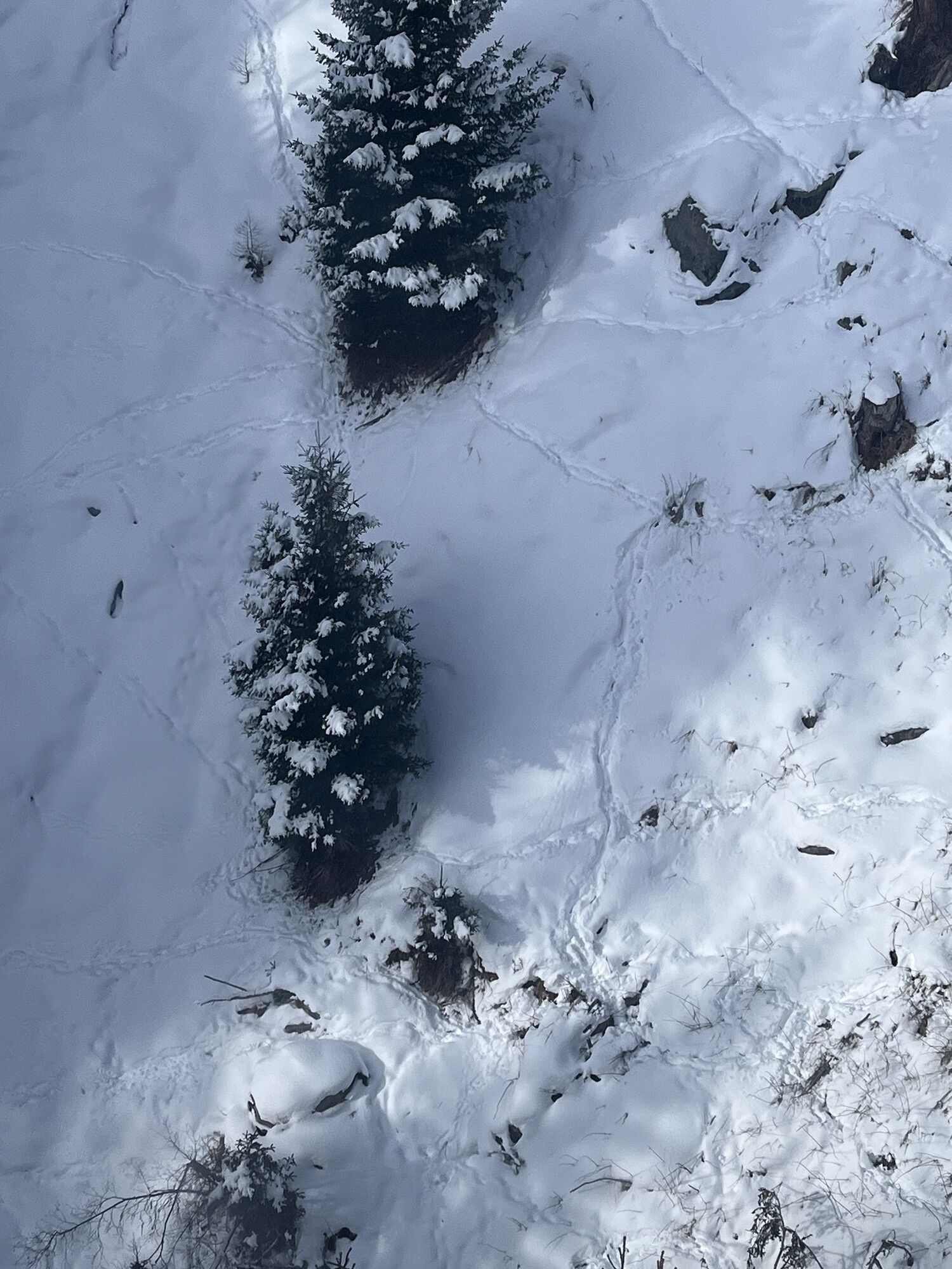
Downhill enthusiasts will be able to test the St-Luc bikepark trails by doing several descents between Tignousa and St-Luc.
Oblíbené prohlídky v okolí
- 5,0
Bella-Tola
středníVysokohorská turistika 6,72 km Tour du Lac de Moiry
středníTuristika 13,4 km- 5,0
Zinal - Cabane du Petit Mountet
středníTuristika 12,0 km - 4,0
Moiry via ferrata
heavyVia ferrata 2,93 km - 5,0
Tour of Val d’Anniviers: Zinal–Grimentz (Stage 3)
středníTuristika 14,5 km Chemin des villages d’Evolène
světloTuristika 11,0 kmZum Fuss des Gletschers und zurück nach Les Hauderes
středníTuristika 12,3 kmTour du Val d'Anniviers: Vallon de Réchy - Mountain lake Le Louché (Stage 5)
středníTuristika 15,0 kmVal d'Anniviers Weisshorn Bike
středníMountainbike 24,5 kmCab. du petit mountet/ Lac d’Arpitettaz
středníTuristika 12,6 km
Pěší turistika a stopování


Nenechte si ujít nabídky a inspiraci pro vaši příští dovolenou
Vaše e-mailová adresa byl přidán do poštovního seznamu.