







Aletsch Via Ferrata
Úroveň obtížnosti: C
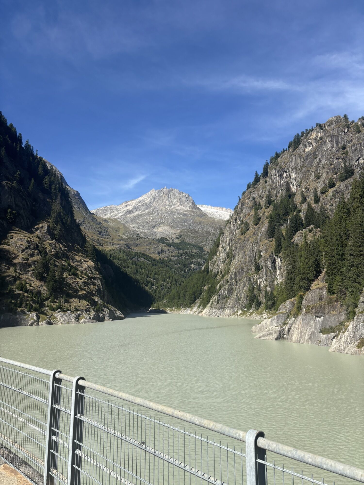
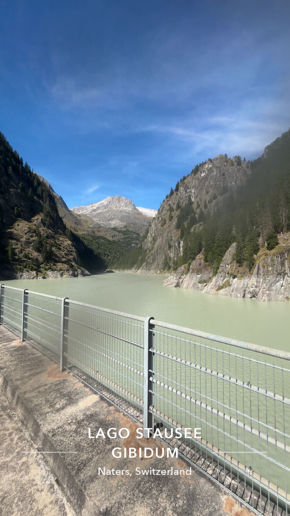
Besides dizzying climbing passages above the water surface, there is also an 80 m long and 40 m high Nepal suspension bridge as a special thrill. Particularly special: when the lake is full, you partly...
Besides dizzying climbing passages above the water surface, there is also an 80 m long and 40 m high Nepal suspension bridge as a special thrill. Particularly special: when the lake is full, you partly swing very close above the icy glacier water!
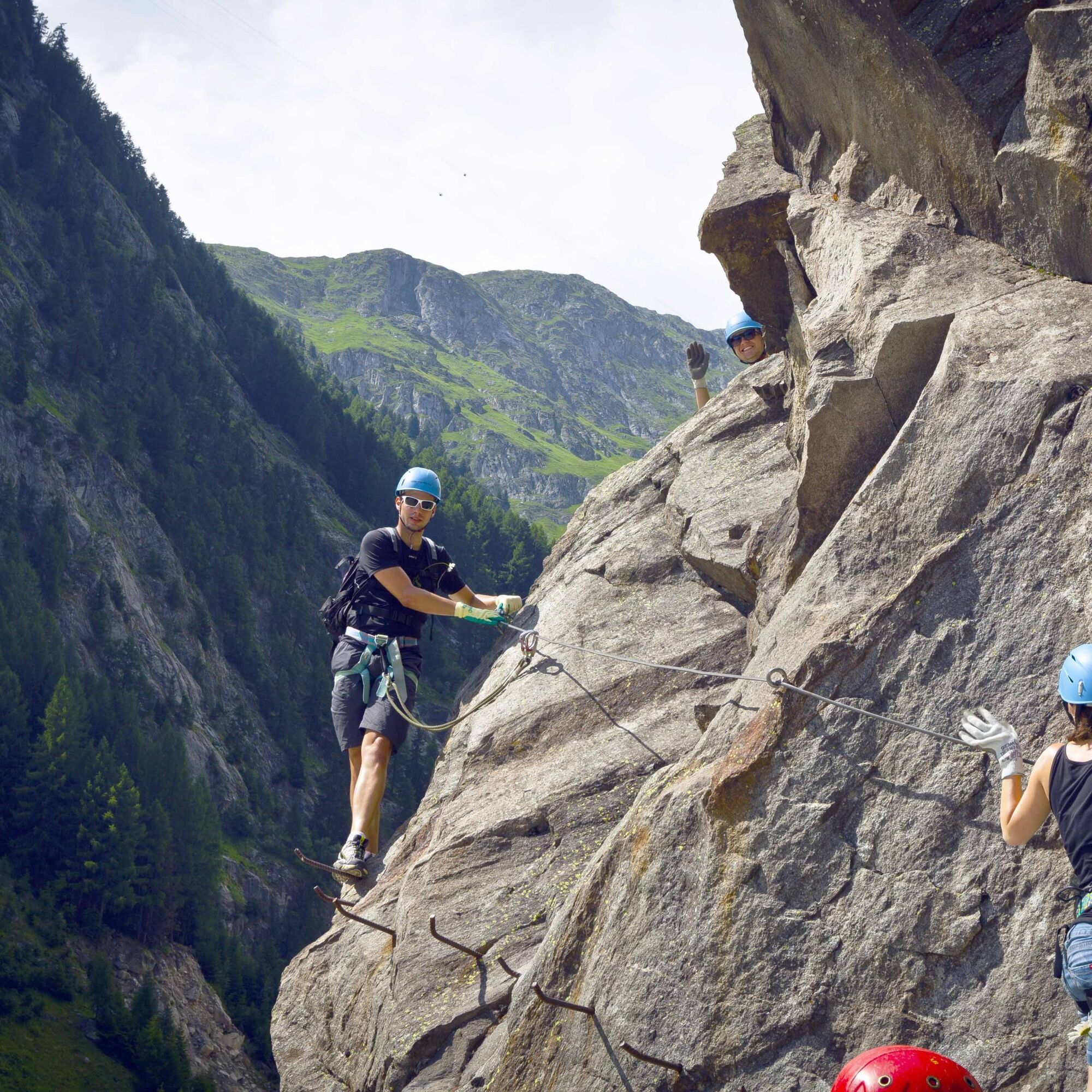
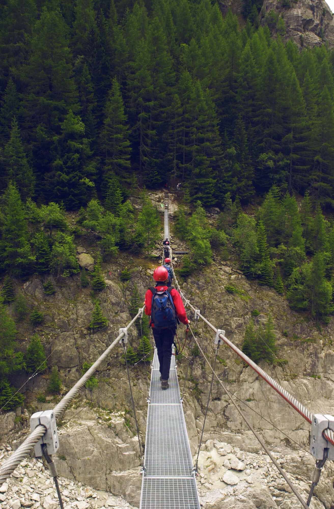
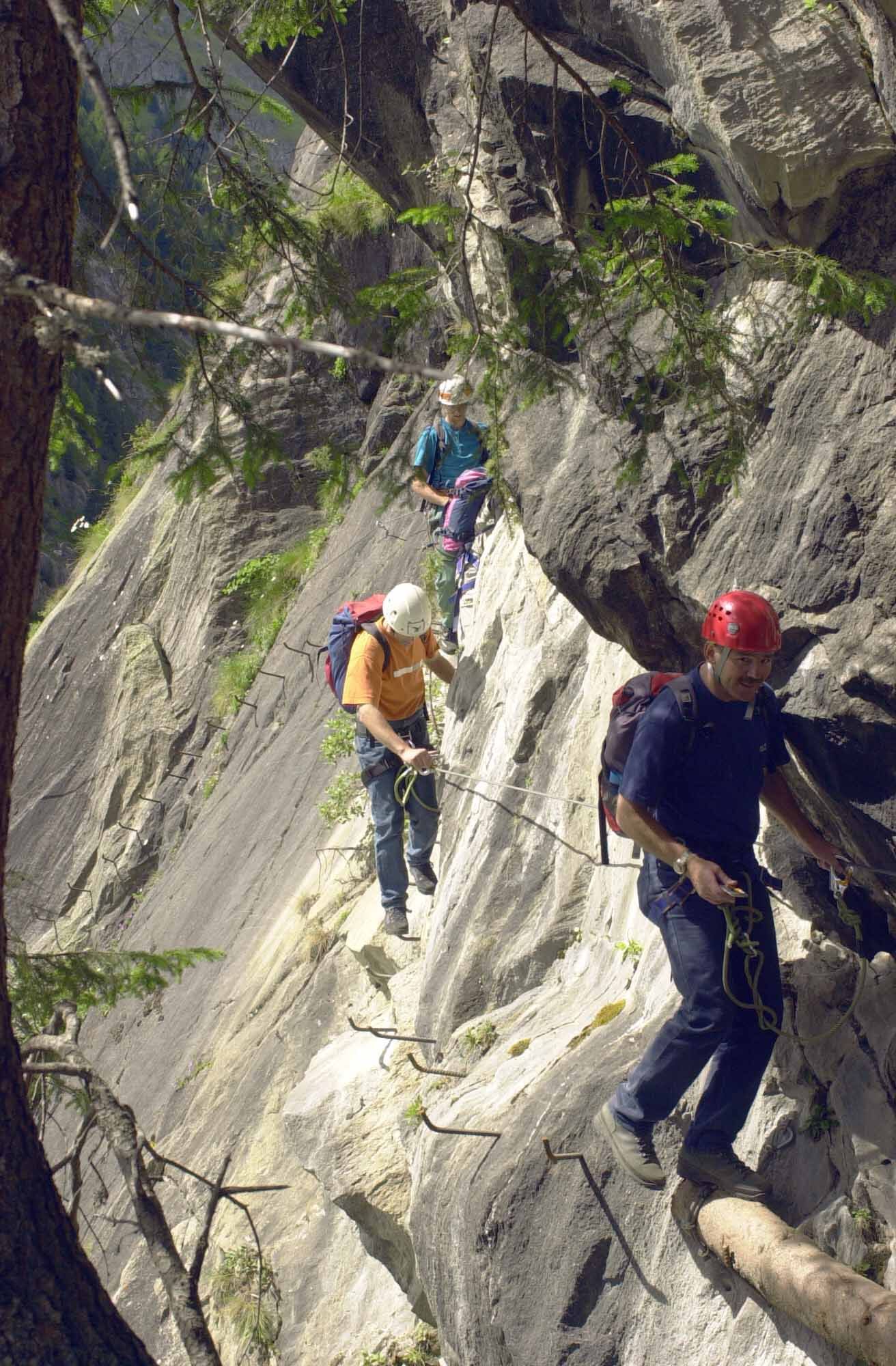
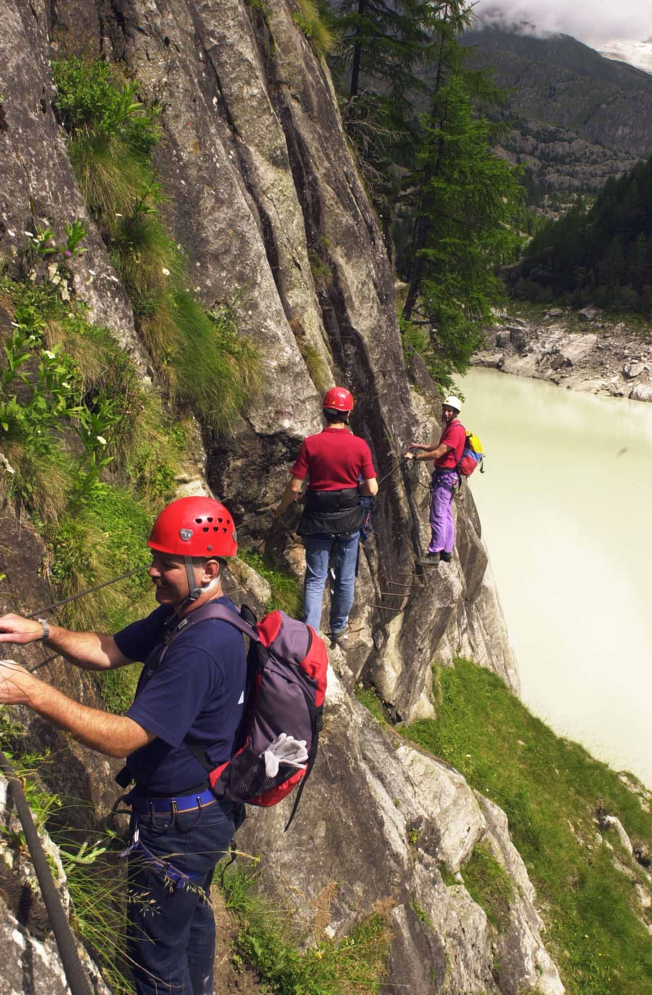
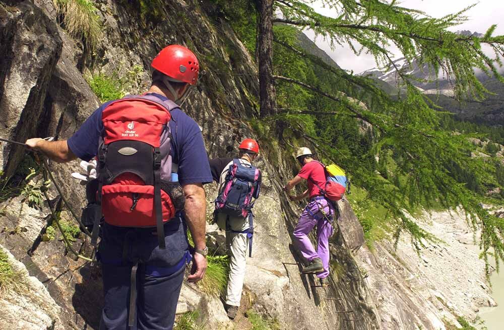

The start of this via ferrata at the west end of the dam is signposted. First, there is a descent down to the reservoir shore. Afterwards, you climb along the western shore via numerous iron pins, log bridges, and natural footholds. At the end of the reservoir, you reach the suspension bridge. Enjoy the view towards the north – you can see the traces of the mighty Aletsch Glacier in the rocks. The return route along the eastern shore is somewhat more demanding, but still manageable thanks to the numerous iron pins. At the end, you descend back onto the dam and cross it to return to the starting point.
For walking a via ferrata, a harness with a via ferrata set for self-protection is mandatory. Due to the danger of falling rocks, wearing a helmet is also a must.
Pay attention to good footwear, suitable clothing, and sufficient provisions. Gloves provide additional protection for fingers and joints and prevent abrasions.
Weather: Anyone on via ferratas should take the weather forecast into account. Sudden bad weather can be life-threatening. Via ferratas must be avoided in case of thunderstorms.
Falling rock hazard: On via ferratas there is the danger of falling rocks, mostly triggered by preceding climbers or wild animals. Protect yourself with a helmet.
Safety: When on a via ferrata, ensure you keep enough distance to the climber ahead. Only one person should be in a fastening section at a time.
Access via motorway A9 to Brig, exit Furka onto cantonal road 19 towards Furka/Grimsel/Nufenen/Brig-Glis. In Brig continue to Naters and from there continue to Blatten near Naters. In Blatten, leave the village center in a north-easterly direction and follow the signs to the Gibidum reservoir.
Regular bus connections from Brig to Blatten. From the village center of Blatten, you reach the via ferrata after about 1 km on foot.
Parking lot at the Gibidum reservoir outside the village of Blatten near Naters.
C
Equipment rental:
Alpincenter BelalpFurther information about the destination can be found here:
Blatten-Belalp
Webové kamery z prohlídky
Získejte přehled
Vždy živě na místě s více než 9 500 webkamerami. bergfex Jako uživatel Pro si nyní můžete zobrazit odpovídající webové kamery pro mnoho prohlídek v aplikaci prohlídky z. Můžete si tak přímo prohlédnout aktuální podmínky.
Oblíbené prohlídky v okolí
-
5.0
BELALP - SPARRHORN
heavyTuristika 11.2 km -
4.8
SUSPENSION BRIDGE RIEDERALP - BELALP
středníTuristika 11.5 km -
UNESCO Höhenweg
Turistika 3.70 km -
5.0
Rundwanderung Anenhütte
středníTuristika 10.2 km -
4.0
Panoramaweg über den Aletschgletscher
středníTuristika 17.7 km -
CIRCULAR HIKE MASSEGGA SUSPENSION BRIDGE
světloTuristika 6.44 km -
4.0
Eggishorn via ferrata
středníVia ferrata 1.39 km -
4.0
Höhenwanderung Rosswald
světloTuristika 6 km -
5.0
Aletsch Sightseeing
středníZimní turistika 15.5 km -
3.0
Lötschenlücke
středníLyžařská trasa 26.2 km
Pěší turistika a stopování


Nenechte si ujít nabídky a inspiraci pro vaši příští dovolenou
Vaše e-mailová adresa byl přidán do poštovního seznamu.





