


Tour du Val d'Anniviers


The tour around the side valley Val d’Anniviers starts in the hamlet of Les Pontis and leads to Chandolin, one of the highest year-round inhabited villages in Europe. The panoramic trail continues to St-Luc....
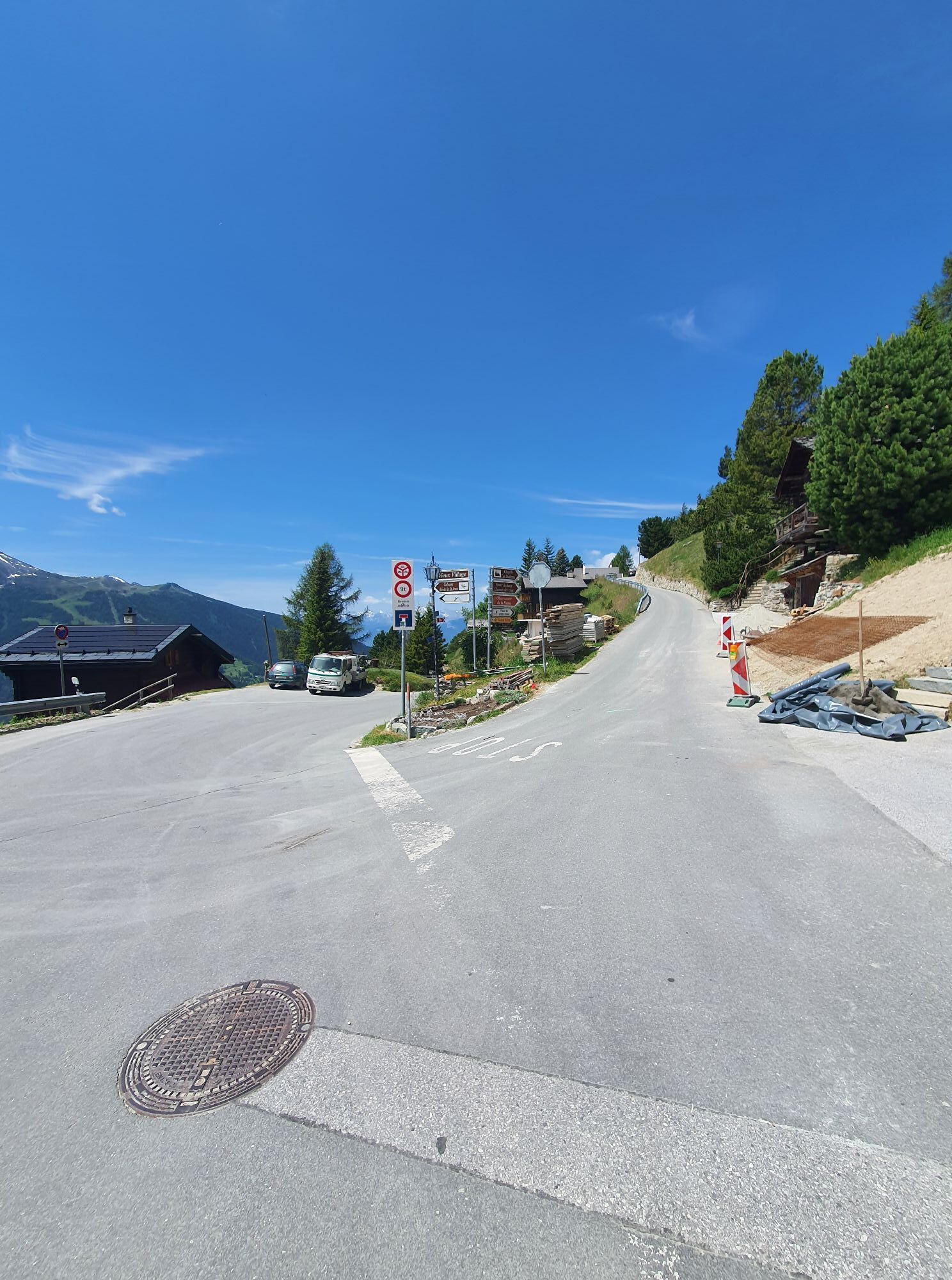
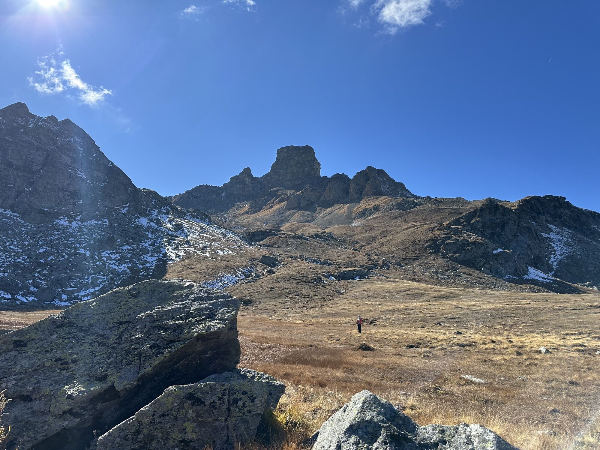
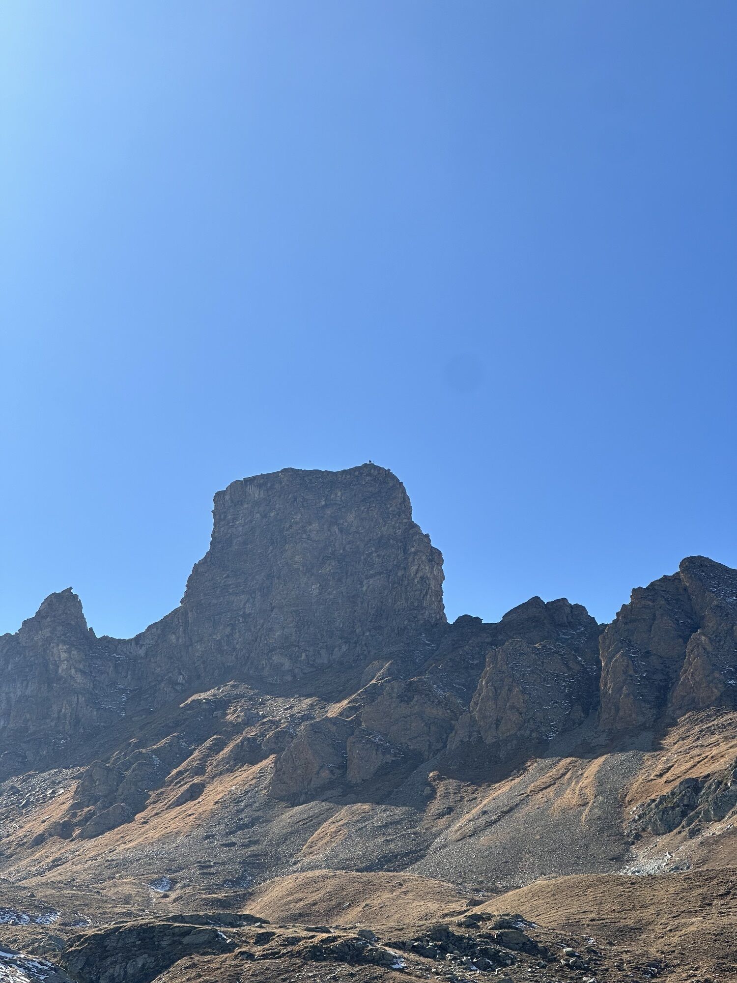
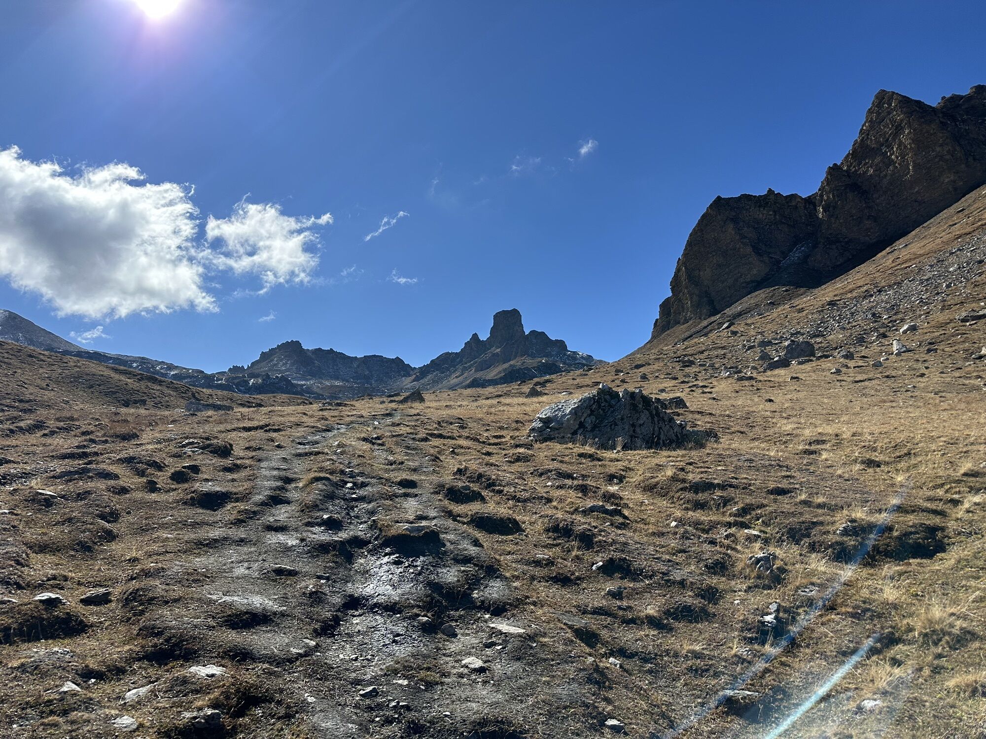
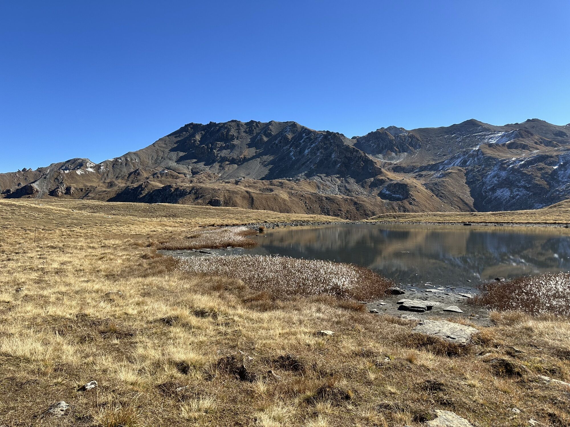
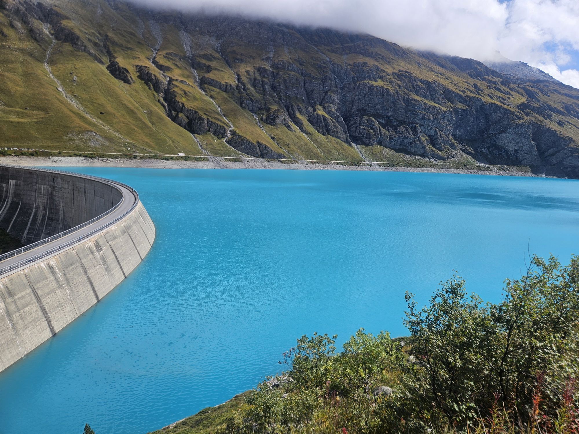
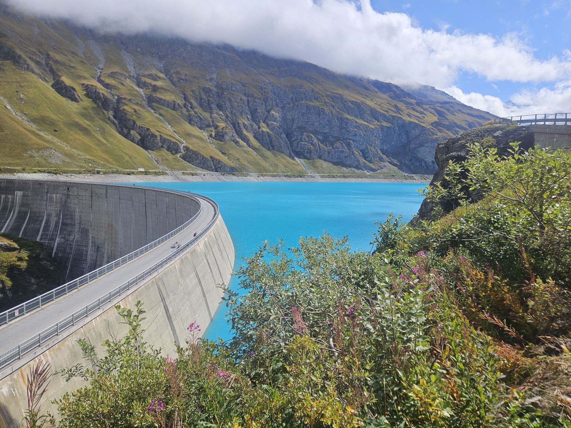
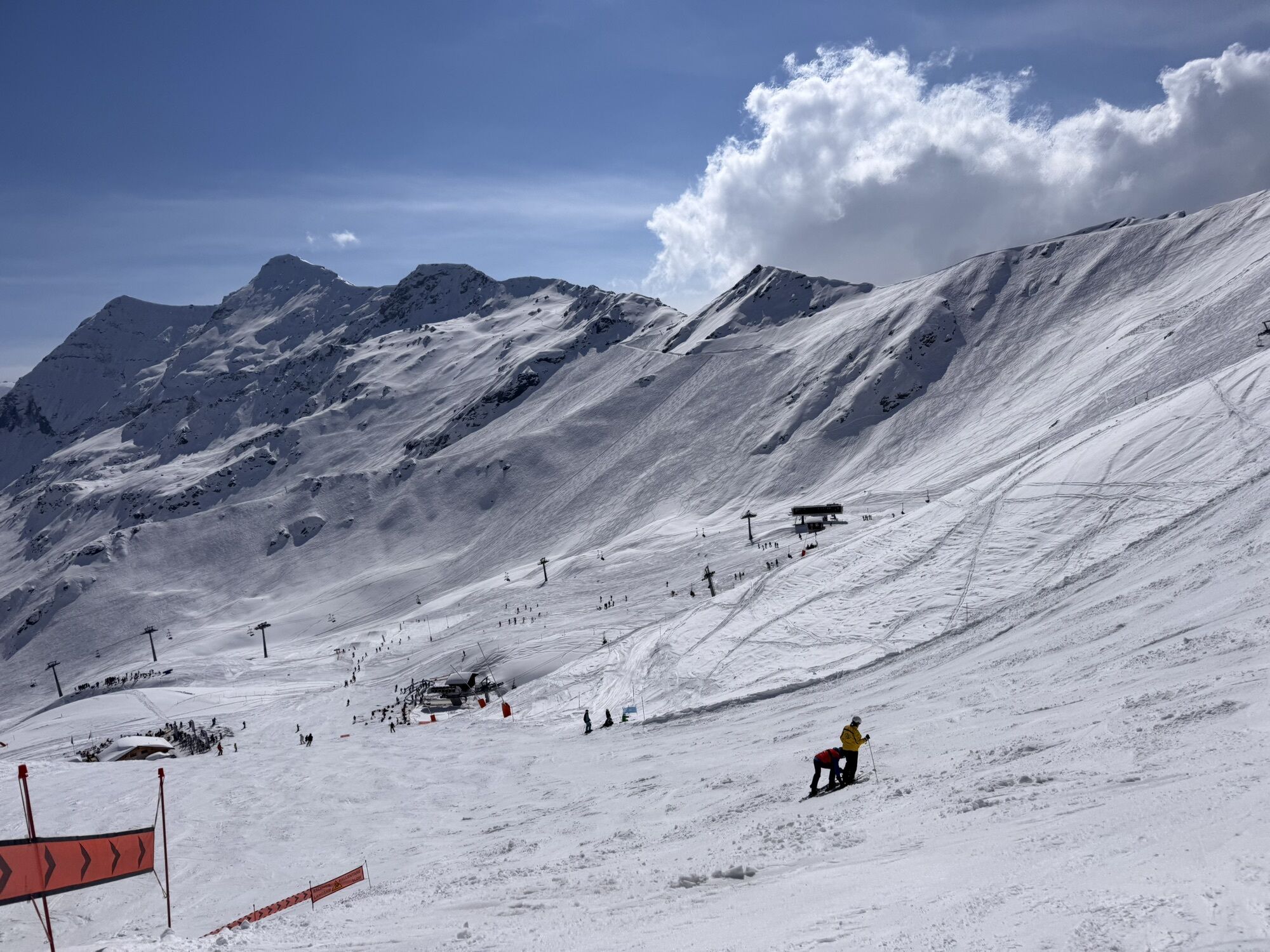
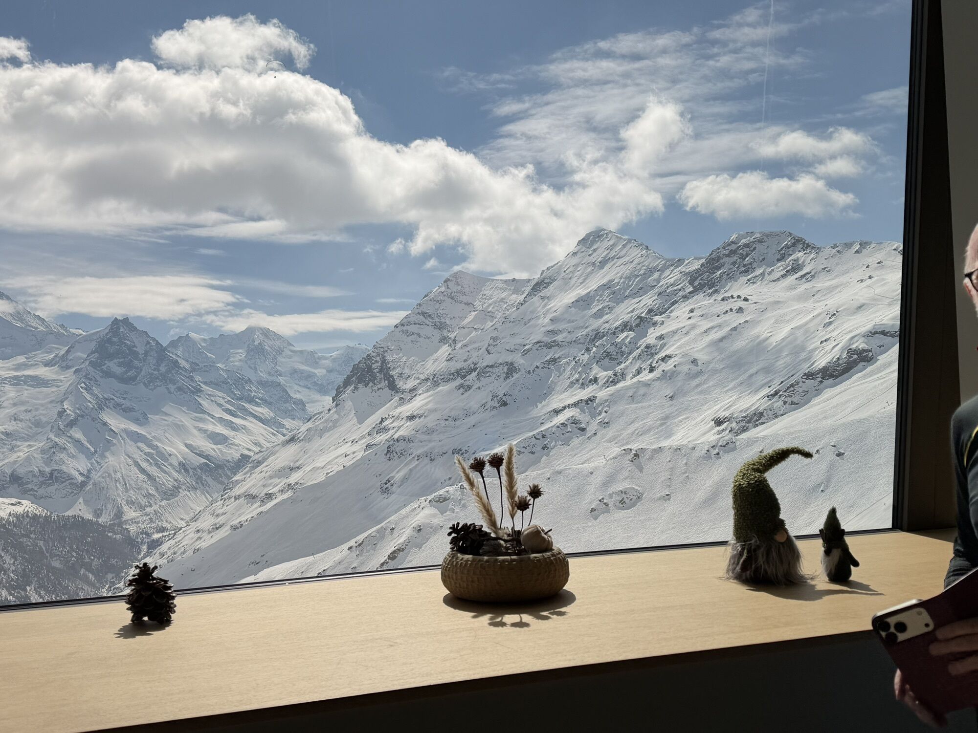
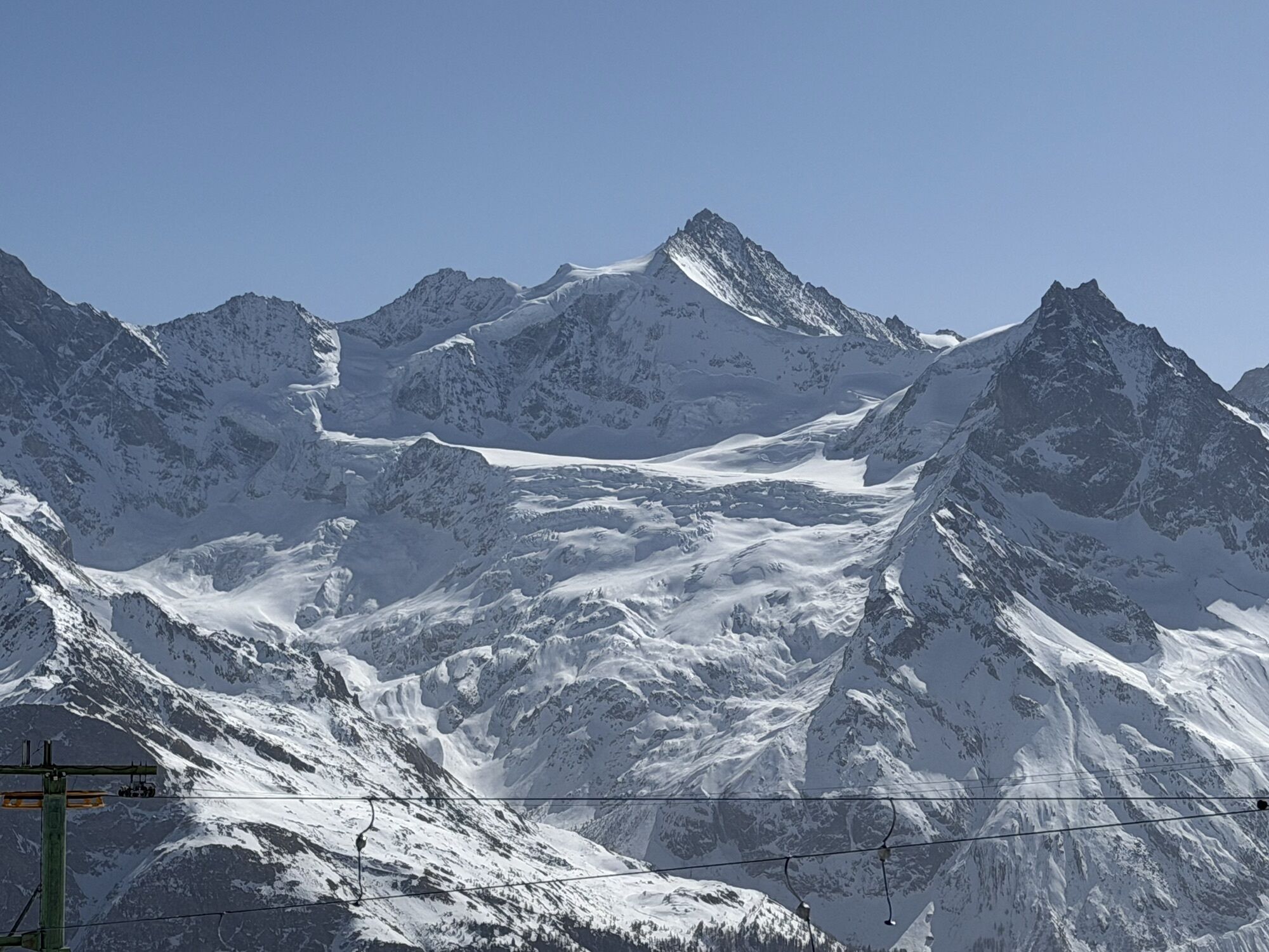
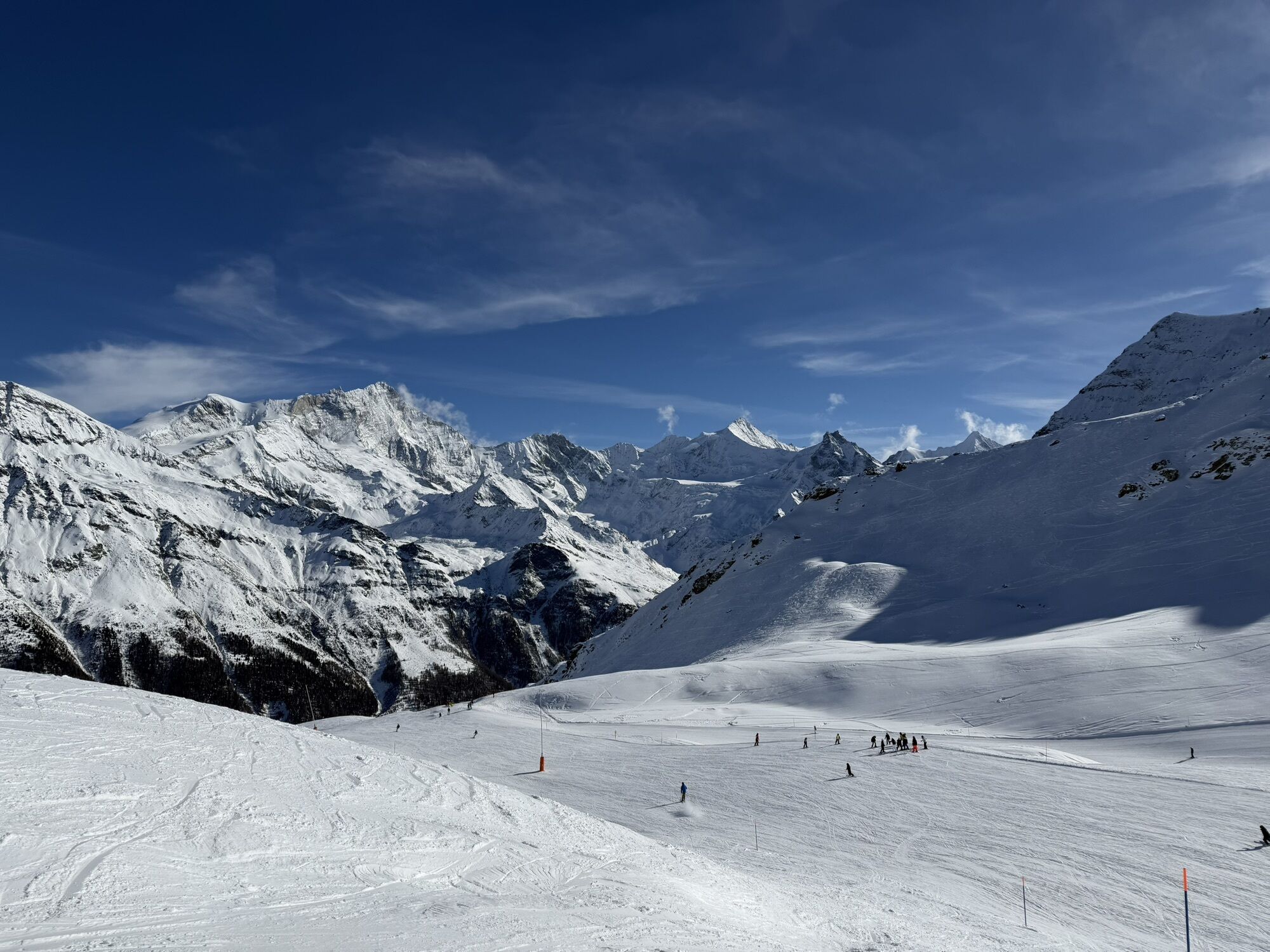
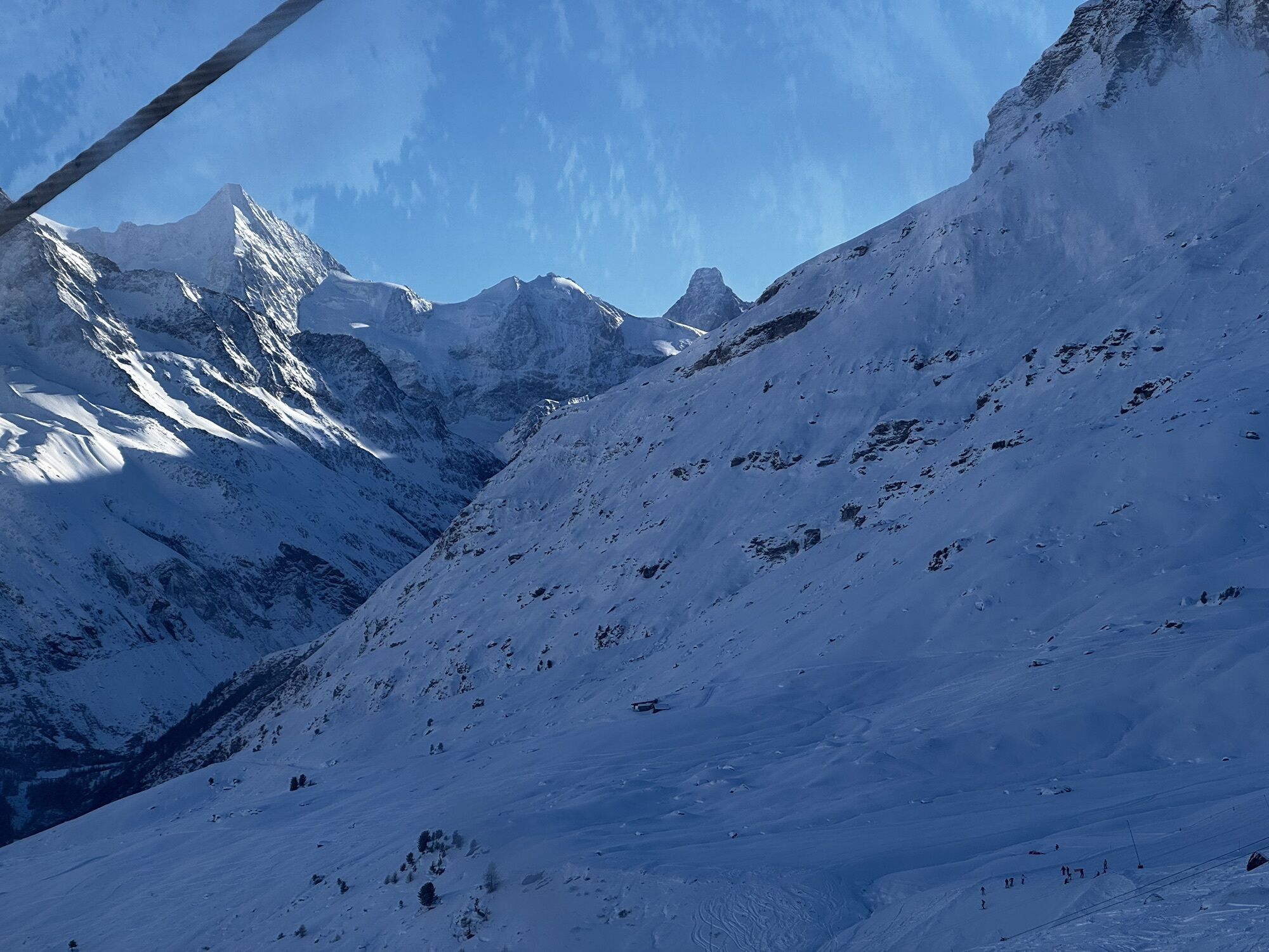
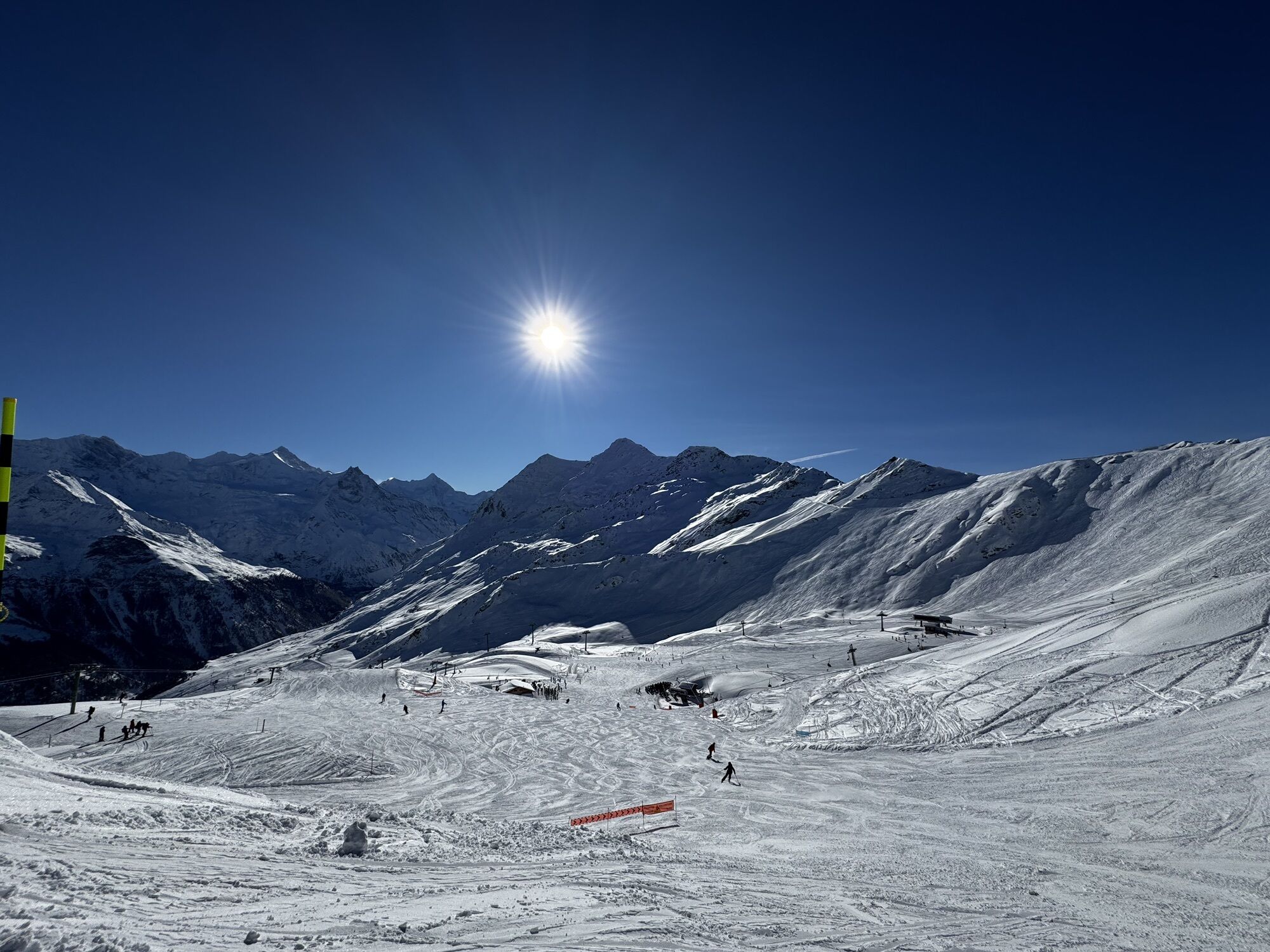
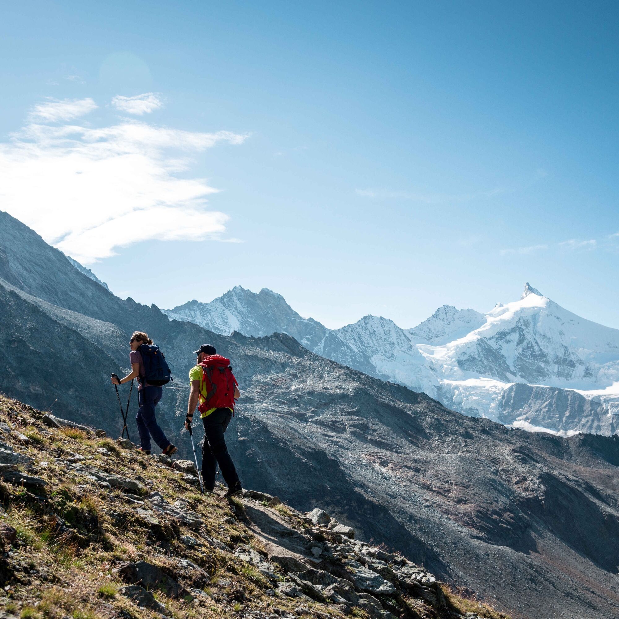
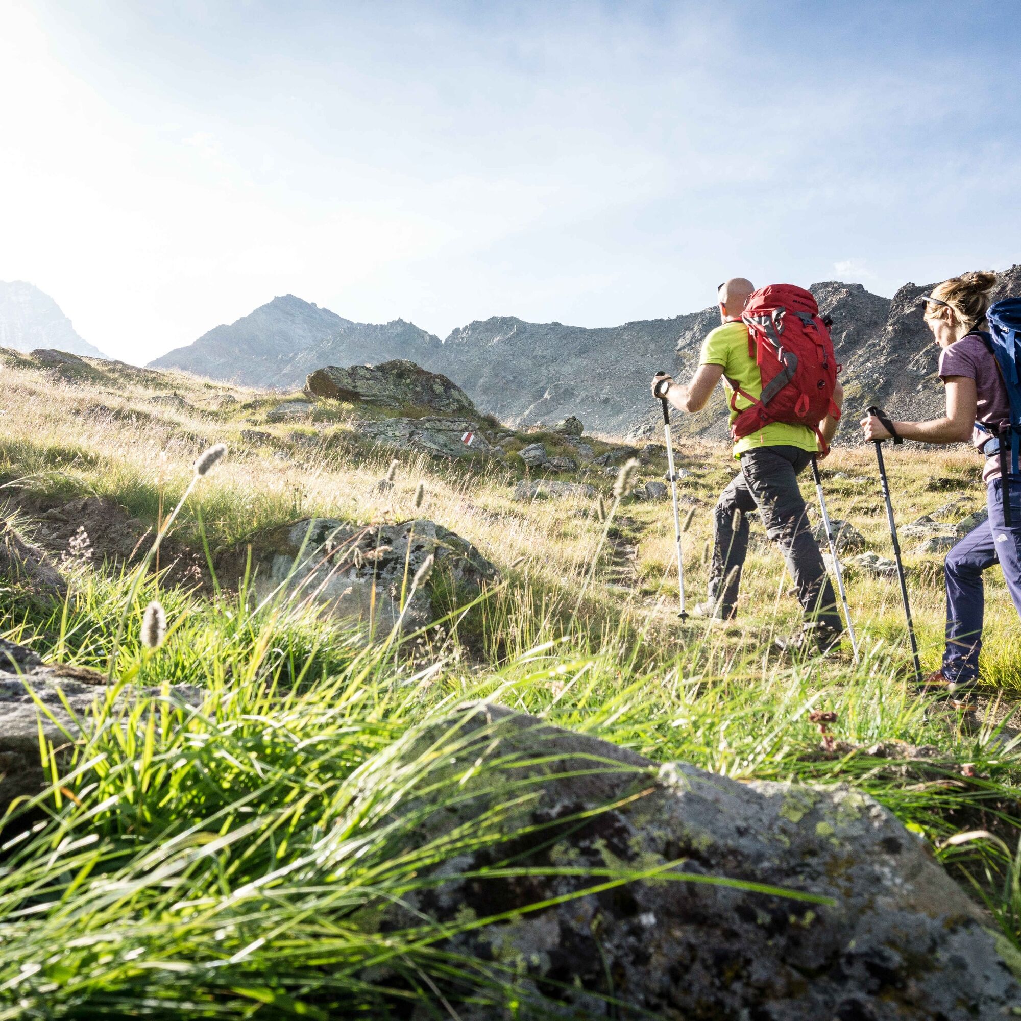
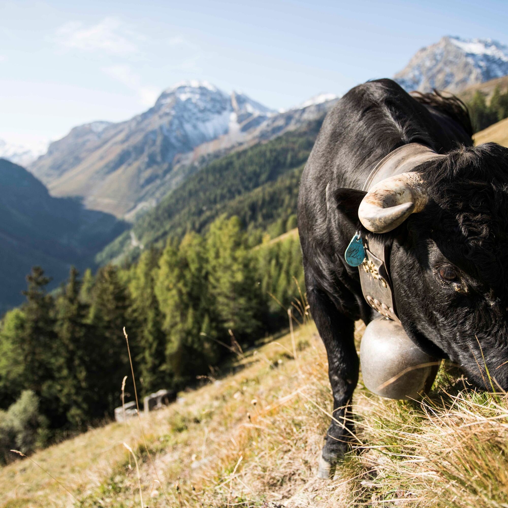
The tour around the side valley Val d’Anniviers starts in the hamlet of Les Pontis and leads to Chandolin, one of the highest year-round inhabited villages in Europe. The panoramic trail continues to St-Luc. At the mountain station of the funicular railway, the observatory offers an unobstructed view during starry nights. There the second stage starts on the planet path to the historic Weisshorn Hotel with a view of the «Couronne Impériale» with its five four-thousanders and leads in a steep descent to the charming Zinal. The third stage connects Zinal with the picturesque Grimentz, known for its flower-adorned chalets, over the Sorebois pass past the Moiry reservoir. From Grimentz the fourth stage follows the western flank of Val d’Anniviers to Vercorin. Finally, the last stage leads into the wild Vallon de Réchy, to the Hochmoos Ar du Tsan and the mountain lake Le Louché. The return to Vercorin follows a historic irrigation canal from the 14th century.

Discover the individual stages in detail:
1st stage: Pontis - Chandolin - St-Luc 2nd stage: St-Luc–Zinal 3rd stage: Zinal–Grimentz 4th stage: Grimentz – Vercorin 5th stage: Vallon de Réchy - Mountain lake Le LouchéWe recommend:
Good footwear Weather-dependent clothing: always carry a waterproof vest Headwear Sunscreen Water bottle Picnic Camera Binoculars (optional) Hiking poles (optional) Printed hiking trail (click «Print» to download)For certain hikes:
SwimsuitUse of the hiking trails and information on this website is at your own risk. On-site conditions may cause changes to the route. Valais/Wallis Promotion accepts no responsibility for the accuracy and completeness of the information on this website.
For all hikes:
Carry a map with you. Download the full hiking trail description with a large-scale map by clicking «Print» at the top right of the page. Use only marked hiking trails and follow all signs and instructions—for your own safety, to protect grazing animals, and out of respect for wildlife. Close gates after passing through. Be considerate towards other trail users, plants, and animals.For mountain hikes:
Carry additional sun protection. UV rays at high altitudes can be very strong, even in overcast weather. Plan your hike carefully: consider the required fitness level of all participants, weather forecasts, and seasonal variations. Weather conditions can change very quickly and without warning in the mountains. Appropriate clothing and sufficient provisions (food and drink) are very important. In unstable weather, it is better to turn back early.For high alpine hikes:
Inform your family about your hiking route. If possible, avoid going alone. Do not venture onto glaciers without a mountain guide. Observe warning signals indicating danger along riverbanks, watercourses below dams and reservoirs: water levels can rise rapidly and without warning.A9 motorway, exit 29 (Sierre-Est). Head towards Val d'Anniviers.
Regular SBB trains to Sierre, then Postbus to the Les Pontis stop.
Parking spaces in Vissoie.
More information about the destination:
Val d'AnniviersUse the Anniviers Liberté Pass and travel free of charge with the mountain railways and regional Postbuses. More than 20 other activities are included in this pass.
Webové kamery z prohlídky
Grimentz Ort
Sorebois
Buvette Orzival
Grimentz Zinal Pendelbahn
St. Luc/Chandolin
Bendolla
Télécabine Vercorin - Cret du Midi
St. Luc/Chandolin
St. Luc/Chandolin
St. Luc/Chandolin
St. Luc/Chandolin
Saint-Luc / Hôtel Weisshorn
Vallée d'Anniviers
Saint-Martin
Grimentz
Cabano de Tracuit
Mont Major
Le Mont
Creux du Lavioz
Col du Pouce
Turtmanntal
Espace Weisshorn Téléphérique
Oblíbené prohlídky v okolí
- 5,0
Bella-Tola
středníVysokohorská turistika 6,72 km - 4,0
Grand Bisse de Lens
světloTuristika 8,73 km Tour du Lac de Moiry
středníTuristika 13,4 km- 4,0
Belvédère via ferrata
středníVia ferrata 1,81 km - 5,0
Zinal - Cabane du Petit Mountet
středníTuristika 12,0 km - 4,0
Moiry via ferrata
heavyVia ferrata 2,93 km - 5,0
Tour of Val d’Anniviers: Zinal–Grimentz (Stage 3)
středníTuristika 14,5 km - 4,5
Sentier viticole / Wine trail
světloTuristika 7,49 km Chemin des villages d’Evolène
světloTuristika 11,0 km- 5,0
Wine route: Venthône – Leuk (Stage 4)
středníTuristika 12,8 km
Pěší turistika a stopování


Nenechte si ujít nabídky a inspiraci pro vaši příští dovolenou
Vaše e-mailová adresa byl přidán do poštovního seznamu.