







Col Indes Pian Delle Lastre

Úroveň obtížnosti: T2
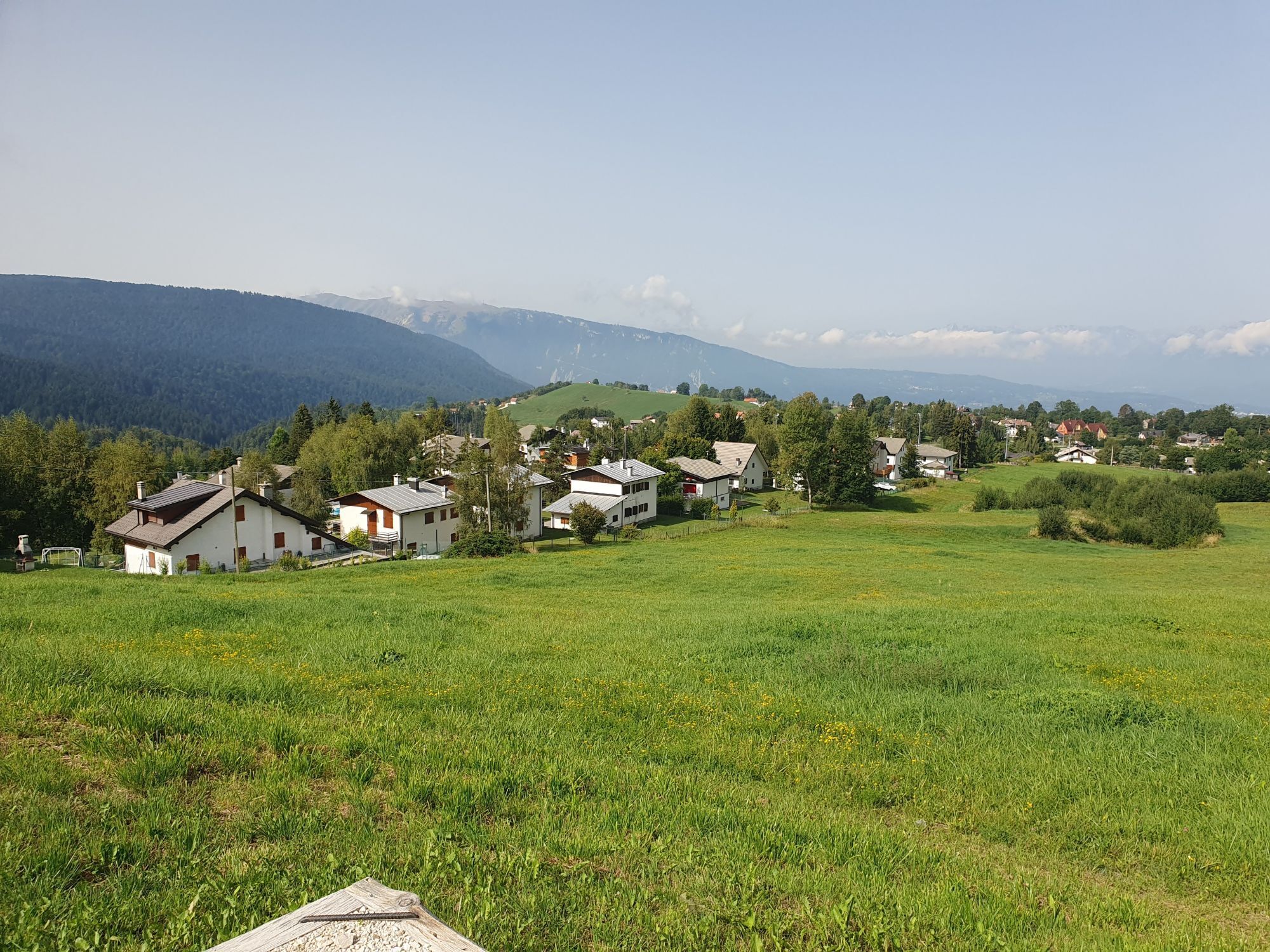
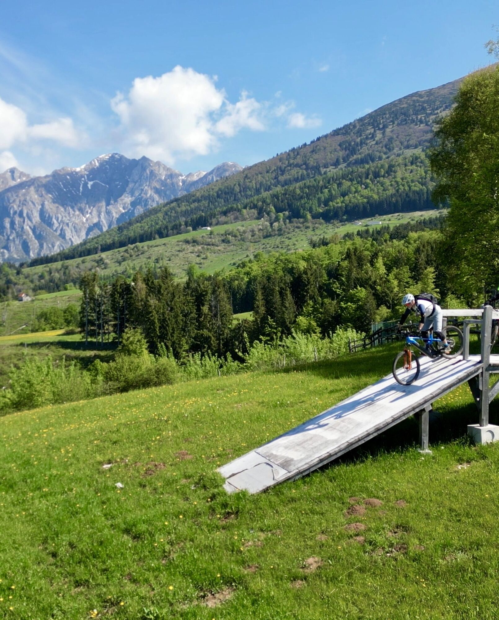
This simple and accessible route runs through the heart of Alpago, starting from the parking lot of Col Indes Restaurant, near the old ski lift. The route follows a slightly uphill paved road that, after...
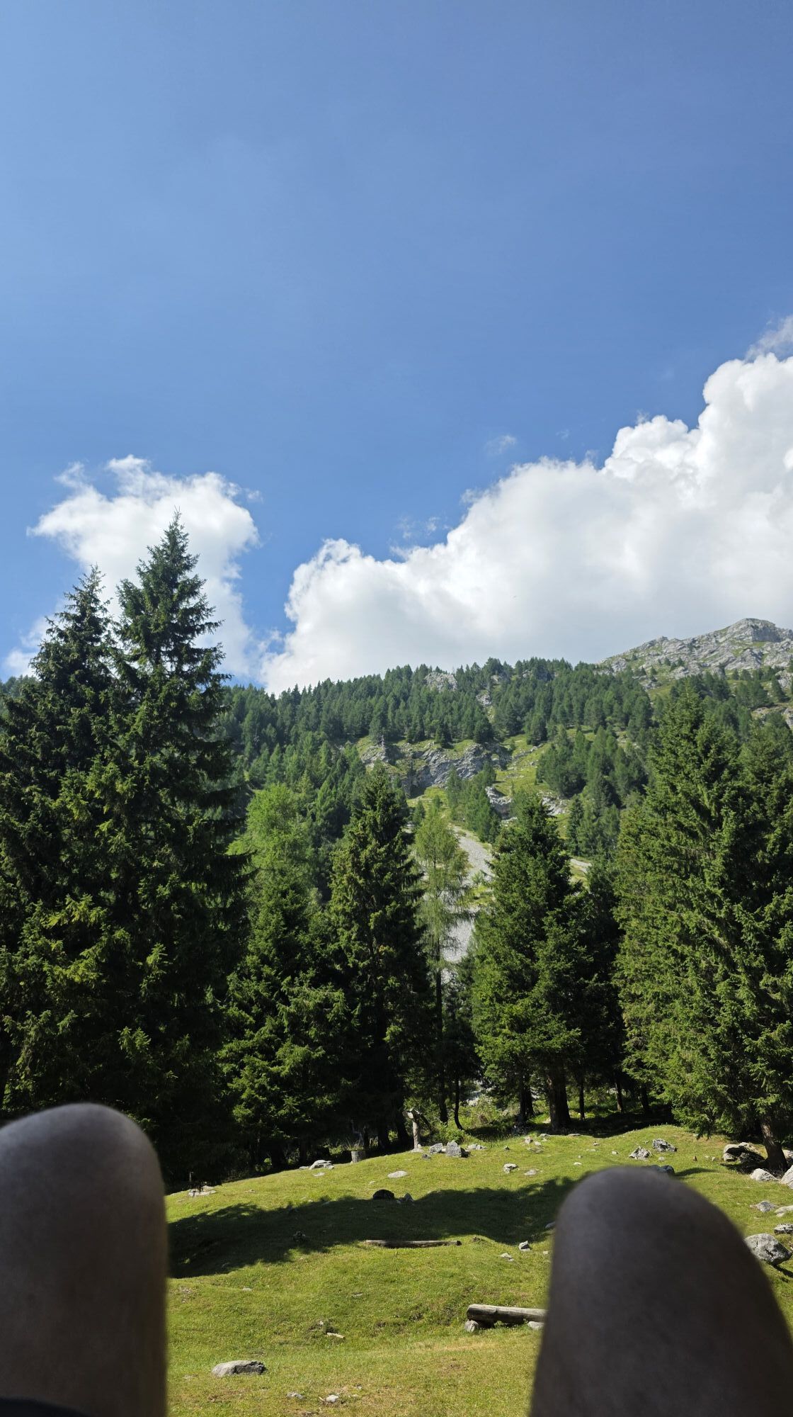
Continuing, the trail enters a charming beech forest, providing shade and coolness on hot days. Leaving the forest, you reach the open pastures of Pian delle Lastre, where the landscape opens up offering splendid views. Along the route you will encounter some malghe (shepherd's huts) and, always following the asphalt road, you will reach a privileged vantage point: from here your gaze embraces the entire Alpago basin, from the Cansiglio Forest to Santa Croce Lake.
The itinerary is ideal for families, people with reduced mobility and those seeking a relaxing walk in nature. The return is along the same route as the outward journey.


From the parking lot of Col Indes Restaurant, follow the paved road slightly uphill to Malga Pian Grant (about 1 km). Continue along the same road, entering the beech forest and then the pastures of Pian delle Lastre. Past a first malga and ignoring the signs on the left for Rifugio Semenza, continue on asphalt until a second malga (about 1 km beyond). The return is along the same route as the outward journey.
Ano
Ano
Comfortable or light hiking shoes, water, hat and sunscreen. Also recommended a backpack with snacks and light jacket.
Even on easy trails it is important to plan the hike carefully. Check the weather forecast before setting out and find out about trail conditions.
From Belluno, take the SS51 to Ponte nelle Alpi, then follow the direction Alpago-Tambre-Col Indes
You arrive by train at D'Alapgo station, then bus to Tambre; from the village center continue on foot or by local connections to Col Indes, the starting point of the hike.
Park directly near the restaurant or, if you want to shorten the route, near Malga Pian Grant.
T2
Enjoy views of Lake Santa Croce and Cansiglio from the pastures of Pian delle Lastre: perfect vantage point for a rest stop.

Oblíbené prohlídky v okolí
-
4.3
Dint Trail
středníTuristika 4.34 km -
4.0
Palantina, Colombera, and Tremol - 3 peaks above Piancavallo
heavyTuristika 8.70 km -
4.7
RING OF LAKE BARCIS
světloTuristika 5.64 km -
3.5
Pala d'Altei da Grizzo
světloTuristika 11.5 km -
5.0
Výstup na Giro d'Italia Aviano - Piancavallo (P002)
heavySilniční kolo 13.9 km -
5.0
Ring route to discover the Tornidor Spring
světloTuristika 7.24 km -
Malghe di Collalto loop
středníTuristika 8.67 km -
4.0
Belluno - Cima Lastè - Rifugio Carlo e Massimo Semenza - Tambre
heavyTuristika 11.9 km -
4.0
Loop along the Gerometta Path and Col Cornier
středníTuristika 10.4 km -
Circular route of Casera Valle Friz and Arneri Refuge among karst dolines and splendid blossoms
středníTuristika 11.7 km
Pěší turistika a stopování


Nenechte si ujít nabídky a inspiraci pro vaši příští dovolenou
Vaše e-mailová adresa byl přidán do poštovního seznamu.





