







Tour of the Alpine Pastures of Val Fiorentina
Úroveň obtížnosti: S0
This loop route is ideal for mountain bikes and e-bikes and allows you to explore some of the most picturesque corners of the Val Fiorentina. From Pescul, the route climbs along forest road no. 569 to...
This loop route is ideal for mountain bikes and e-bikes and allows you to explore some of the most picturesque corners of the Val Fiorentina. From Pescul, the route climbs along forest road no. 569 to the Fertazza Mountain Hut, where you can enjoy a magnificent view of the Dolomites. The route continues toward Col dei Giai and descends to Malga Fontanafreda and Forcella Pecol, crossing the pastures of Palui. A subsequent climb leads to Piera de l’Autà, followed by the descent toward Malga Pien de Vacia. The route continues through rural landscapes and examples of mountain traditions, passing through the ancient villages of L’Andria and Tofol before returning to Santa Fosca and Pescul. A varied and scenic route that alternates between rideable climbs, forest roads, and splendid views of the surrounding mountains.

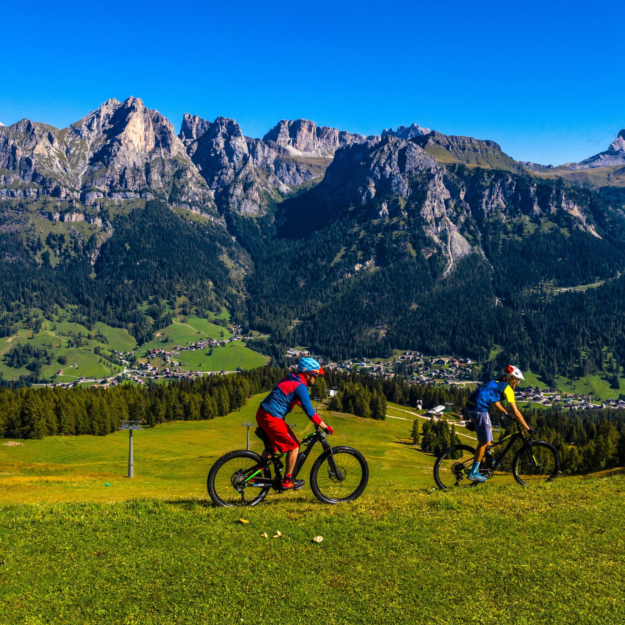
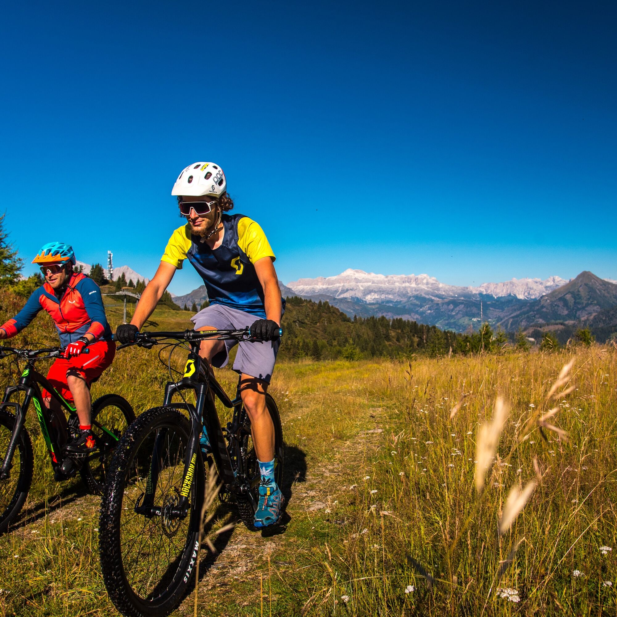
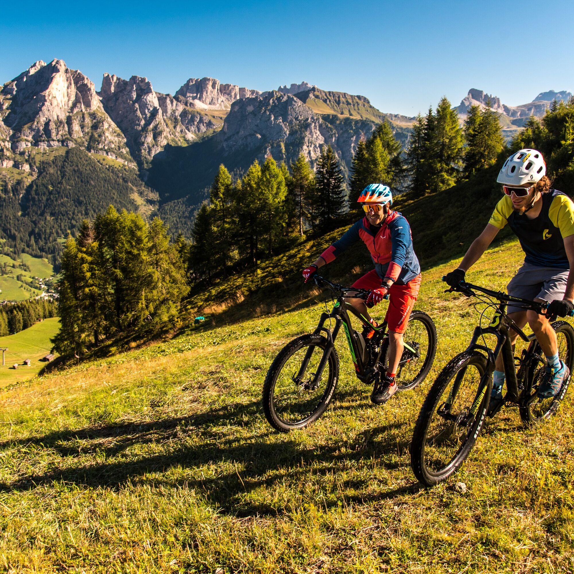
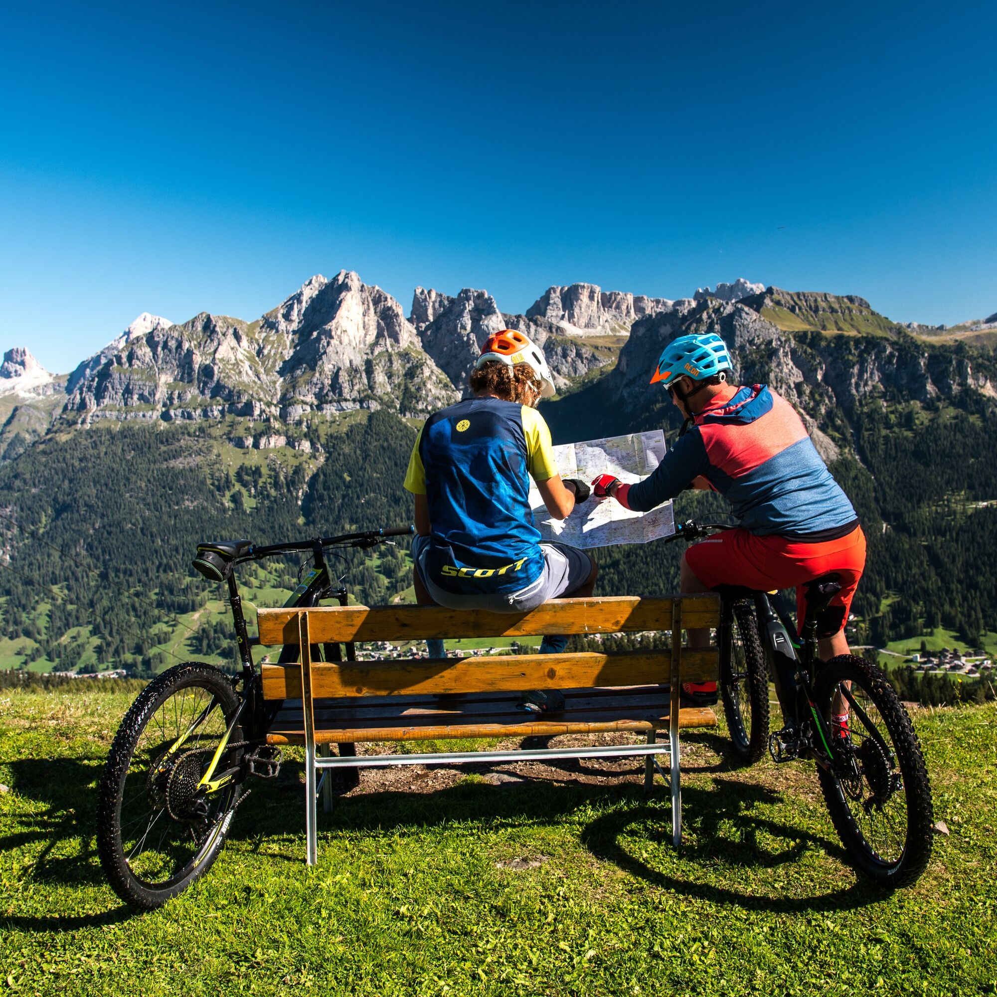

From Pescul, the trail climbs toward the Fertazza Mountain Hut, passing through beautiful forests and scenic high-altitude pastures. Once you reach Col dei Giai, the trail descends toward Malga Fontanafreda and Forcella Pecol, deep in the heart of the Val Fiorentina. The route continues through the meadows of Palui and climbs up to Piera de l’Autà, before descending to Malga Pien de Vacia. After passing through the ancient villages of L’Andria and Tofol, you reach Santa Fosca and finally return to Pescul, completing a picturesque loop through nature, traditions, and Dolomite vistas.
MTB or e-bike in good condition
Approved helmet.
Puncture repair kit and multitool.
Spare inner tube or tubeless kit.
Water and energy snacks.
Windbreaker or rain jacket.
GPS or route map.
Check road conditions after recent rain.
Slow down on downhill sections.
Watch out for hikers along the route.
Check the weather forecast before setting out.
Always wear a helmet.
From Belluno
SS203 Agordina toward Agordo / Alleghe Continue to Caprile Climb to Santa Fosca – Pescul Time: approx. 1 hr 15 min – 1 hr 30 minFrom Belluno
Direct Dolomiti Bus from Belluno → Caprile Continue with local connections to Selva di Cadore – Santa Fosca – Pescul During peak season, there are more frequent routes to Val FiorentinaS0
Stop at the Fertazza Mountain Hut: the view of the Dolomites makes every meter of the climb worthwhile and makes the hike unforgettable
Získejte přehled
Vždy živě na místě s více než 9 500 webkamerami. bergfex Jako uživatel Pro si nyní můžete zobrazit odpovídající webové kamery pro mnoho prohlídek v aplikaci prohlídky z. Můžete si tak přímo prohlédnout aktuální podmínky.
Oblíbené prohlídky v okolí
-
4.8
Passo Giau roundtrip
středníTuristika 8.10 km -
4.7
Five Towers Tour (Averau, Nuvolau and Scoiattoli refuges) from Giau Pass
středníTuristika 10.8 km -
4.5
Lago Federa
středníTuristika 14.6 km -
5.0
Magnifique et très variée
středníTuristika 12.6 km -
5.0
Passo di Giau
světloVia ferrata 8.37 km -
4.3
Lagazuoi Tunnels
středníTematická stezka 6.18 km -
3.0
Sub-Lieutenant Mario Fusetti Via Ferrata
středníVia ferrata 4.22 km -
4.7
Ferrata brigata degli alpini - Col dei Bos
středníVia ferrata 4.90 km -
4.9
Passo Falzarego - Lagazuòi Piccolo - Rifugio Lagazuòi - Funivia Lagazuoi
středníHorská turistika 6.55 km -
5.0
"Sass de Stria" mountain
středníTematická stezka 2.65 km

Pěší turistika a stopování


Nenechte si ujít nabídky a inspiraci pro vaši příští dovolenou
Vaše e-mailová adresa byl přidán do poštovního seznamu.





