







"Sass de Stria" mountain

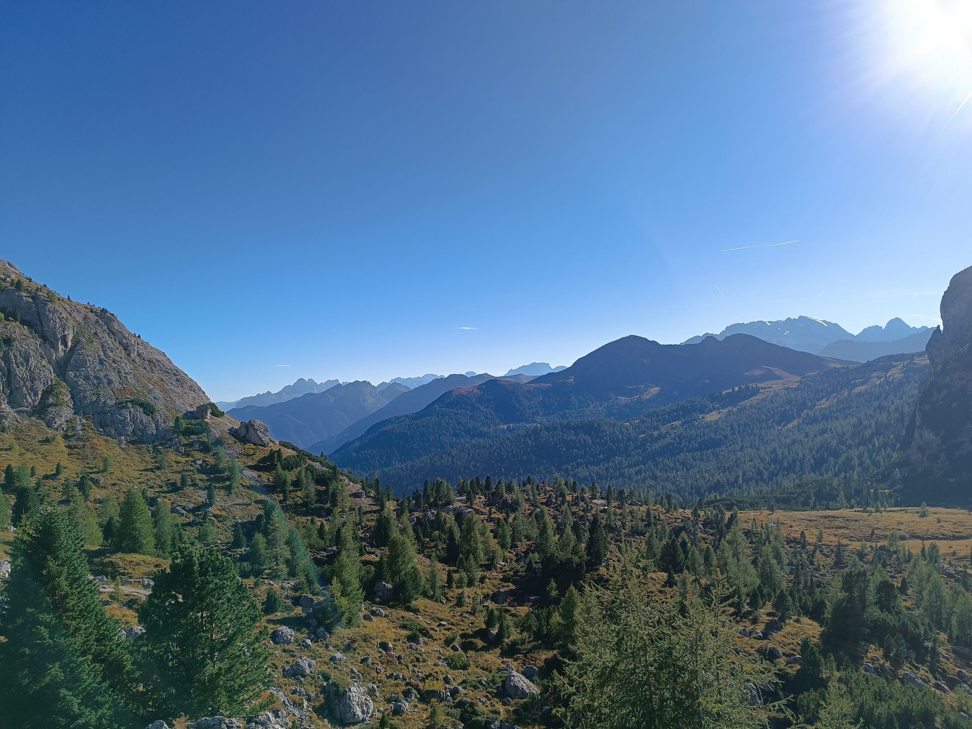
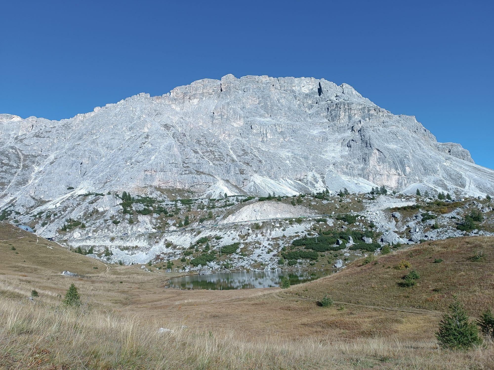
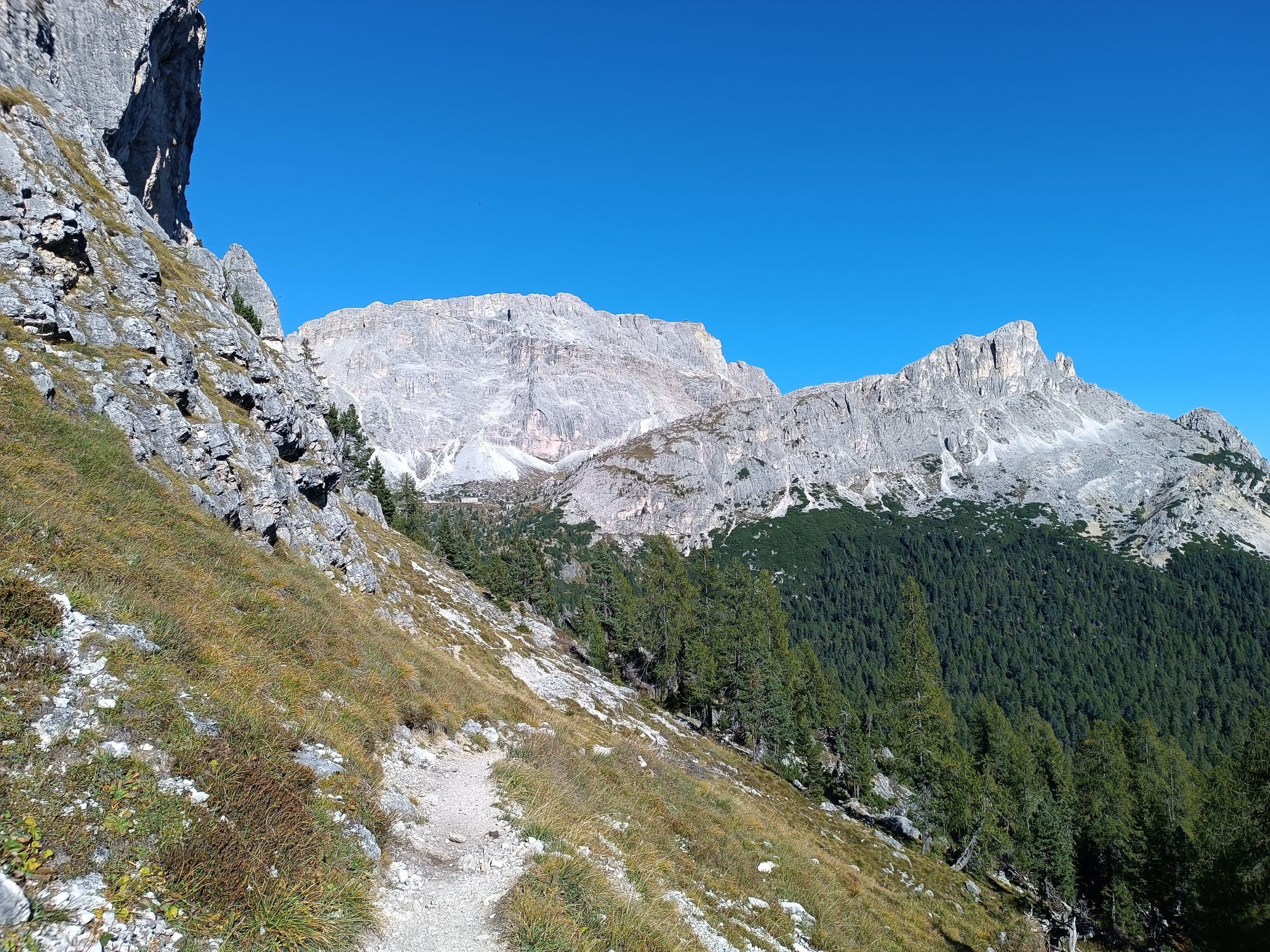
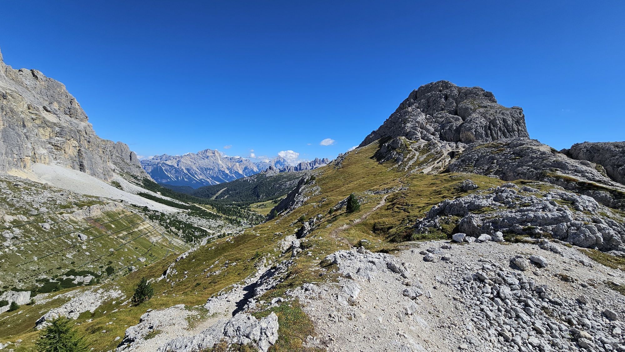
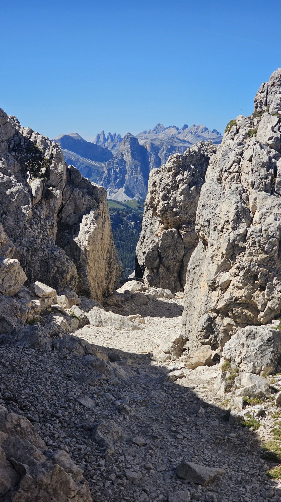
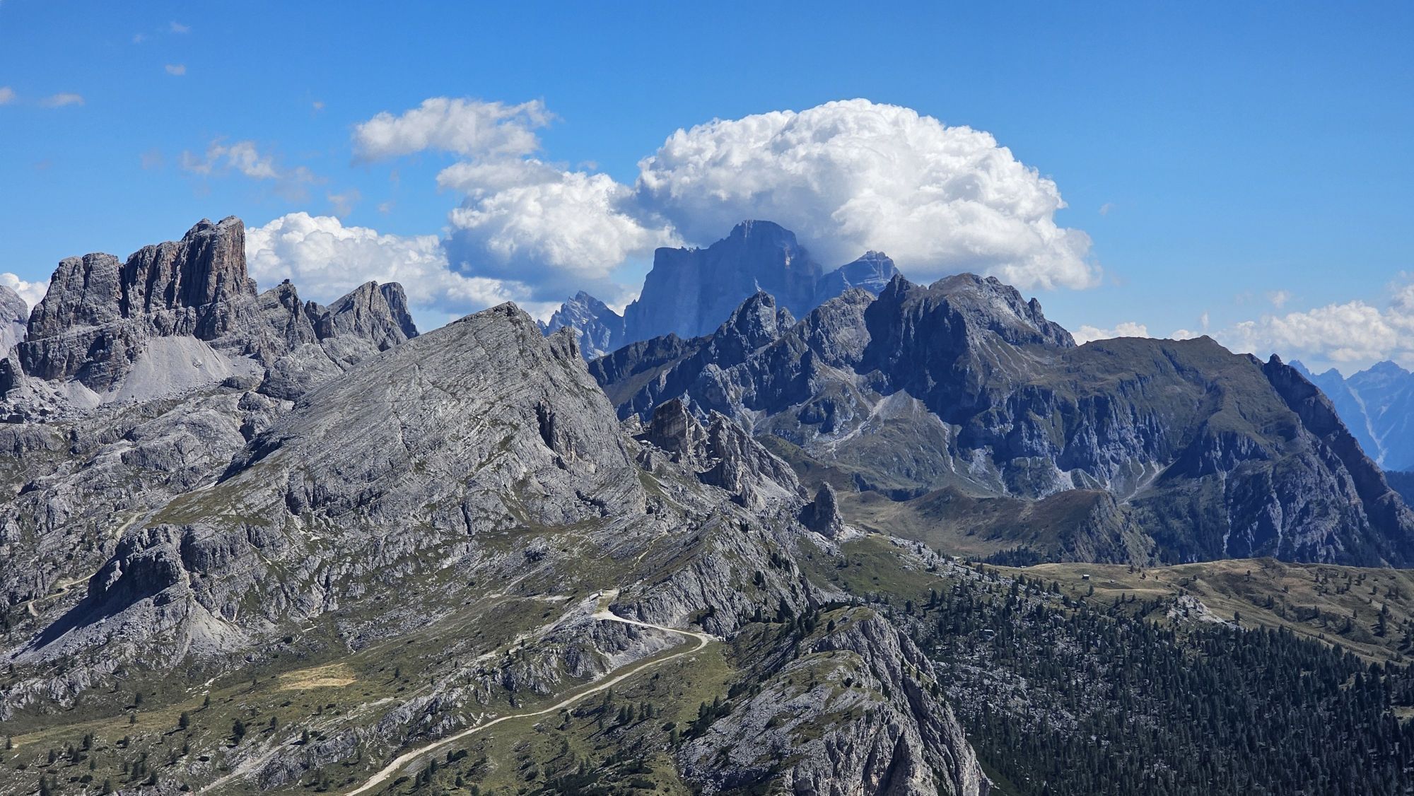
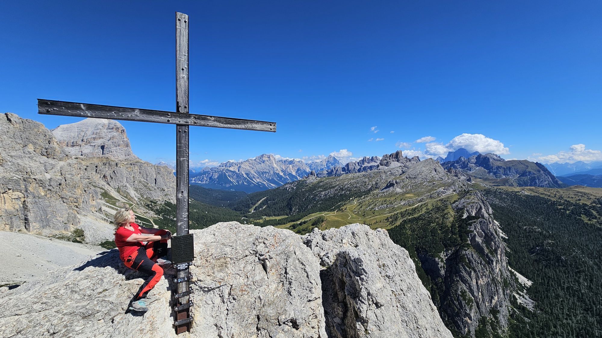
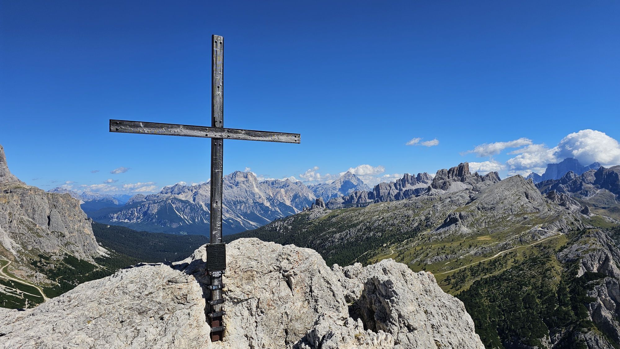
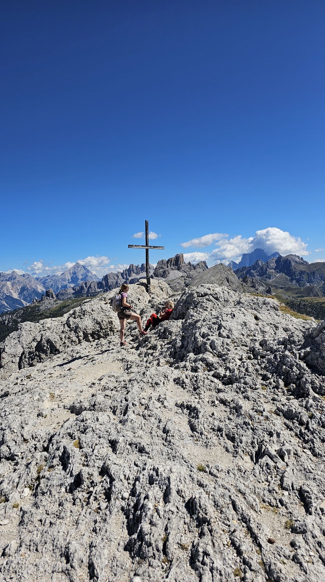
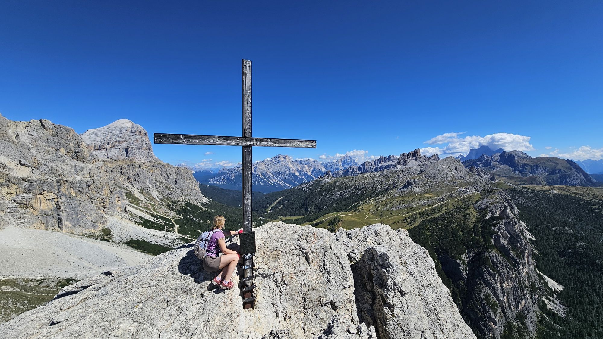
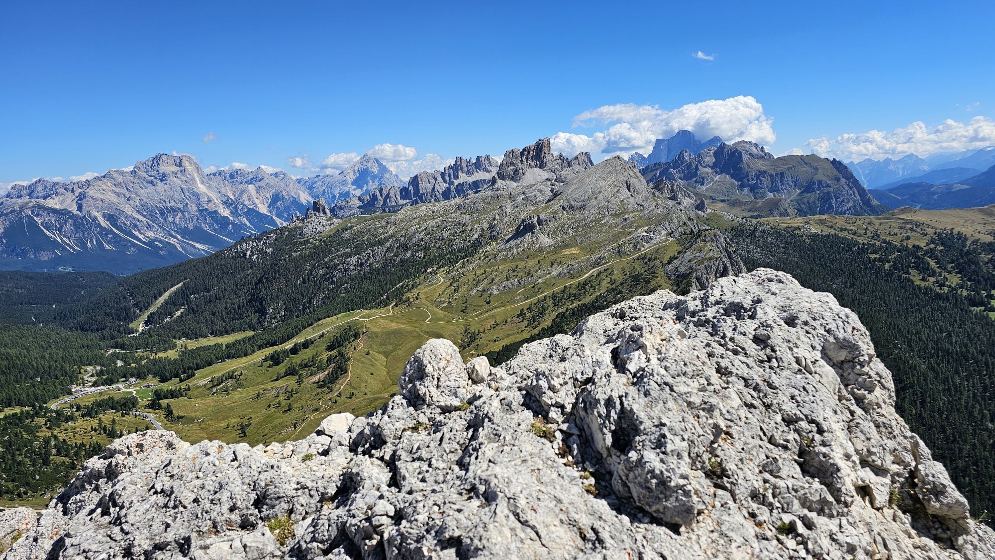
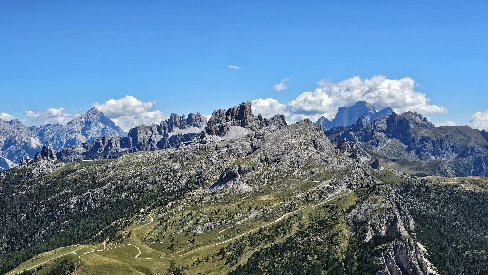
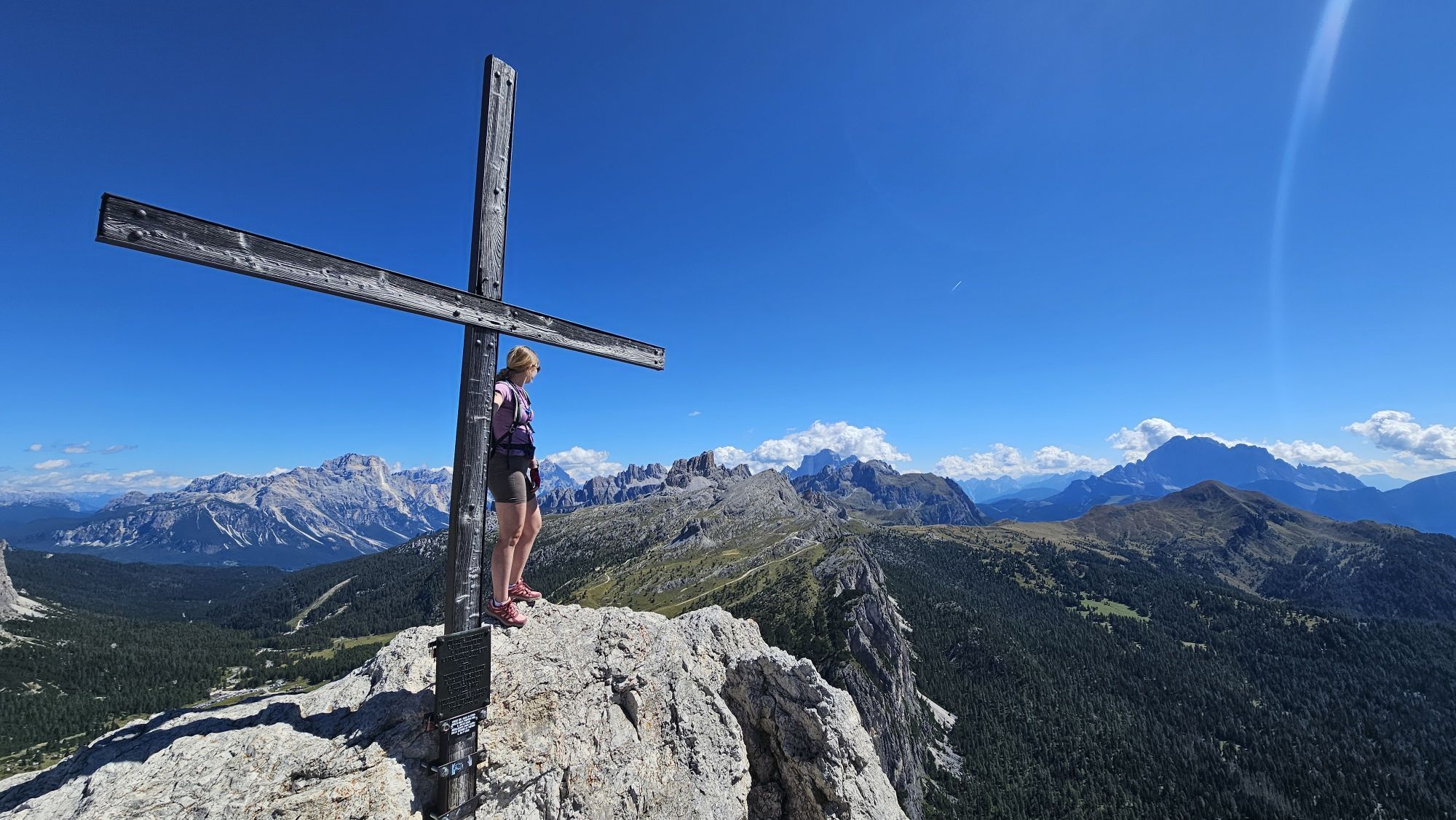
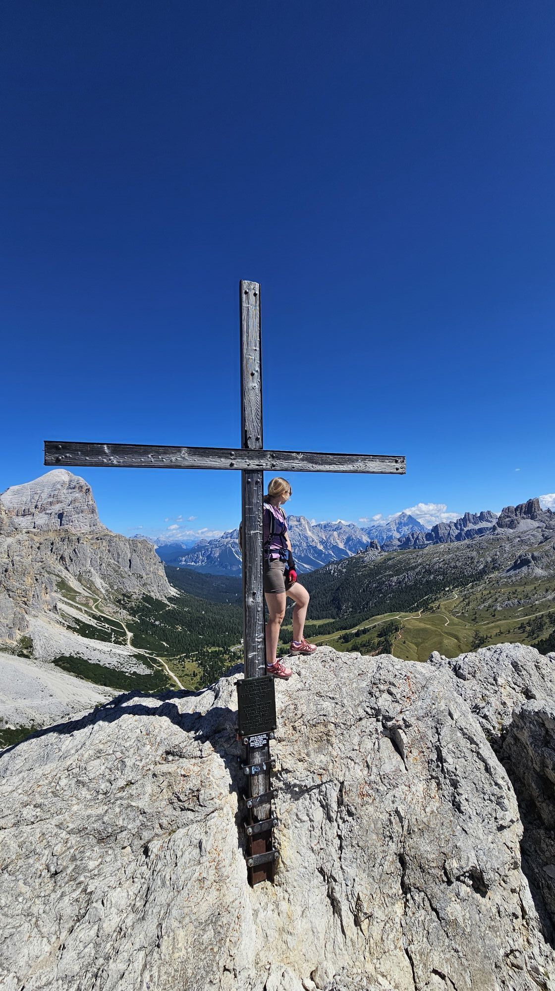
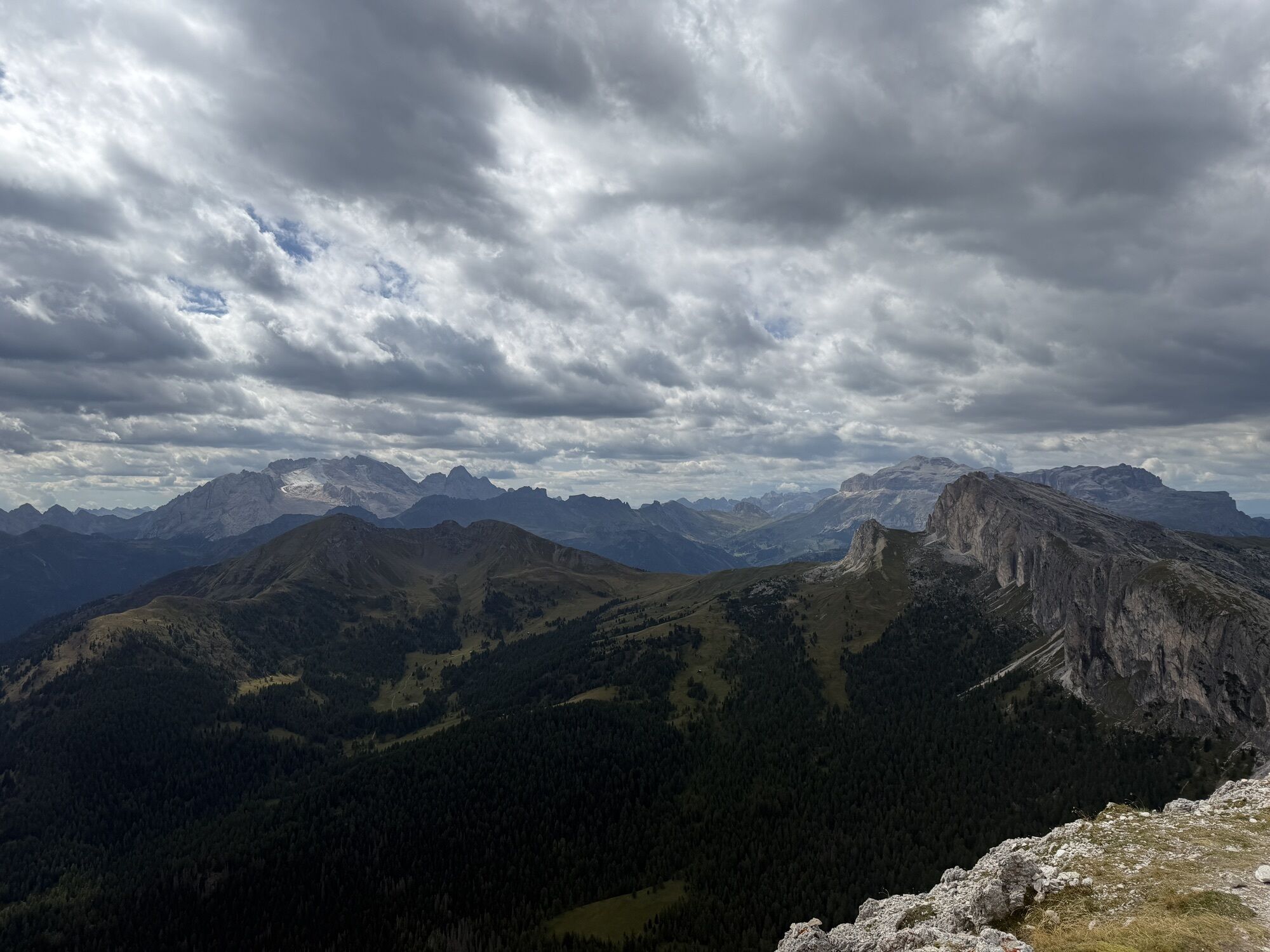
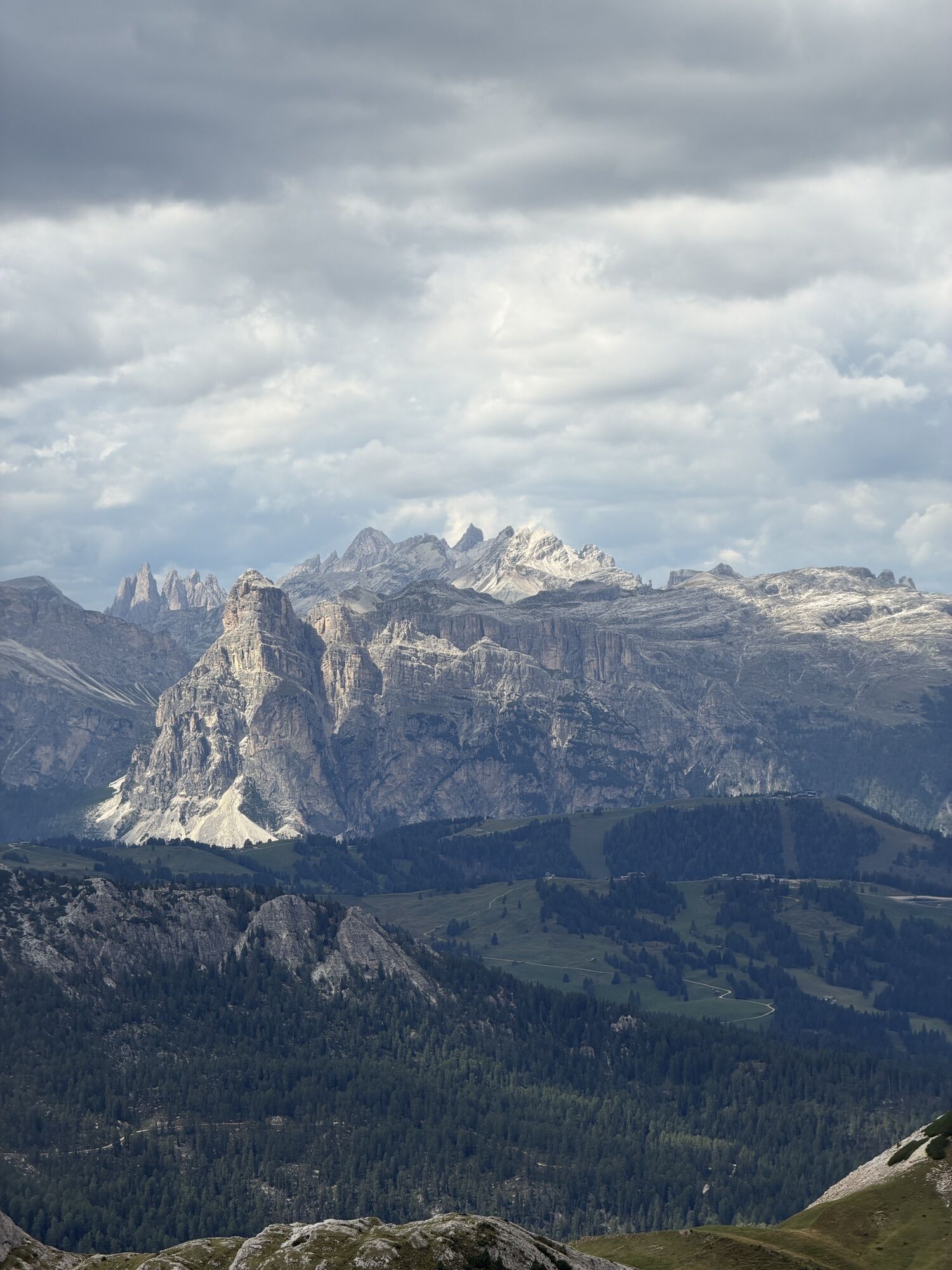
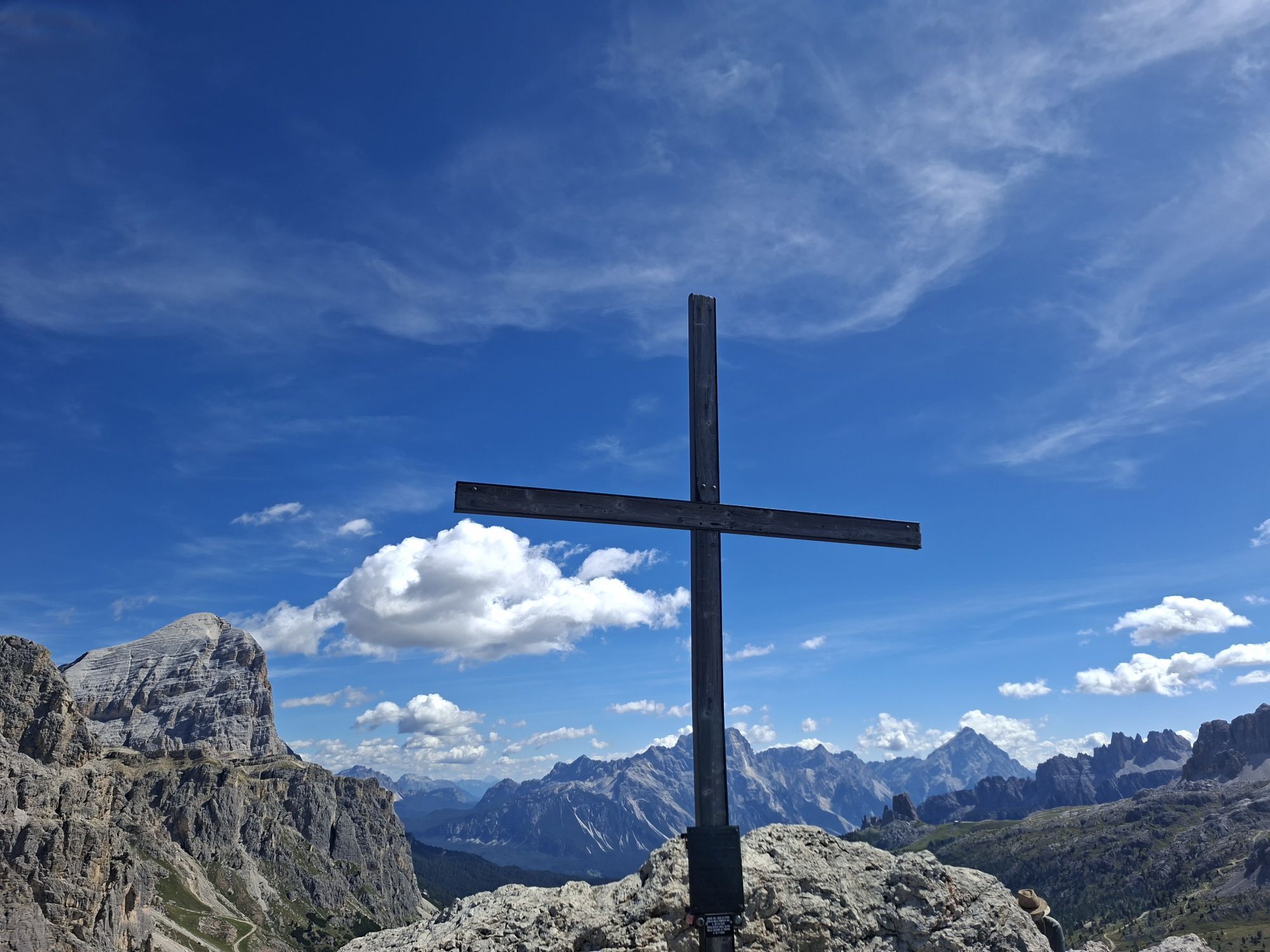
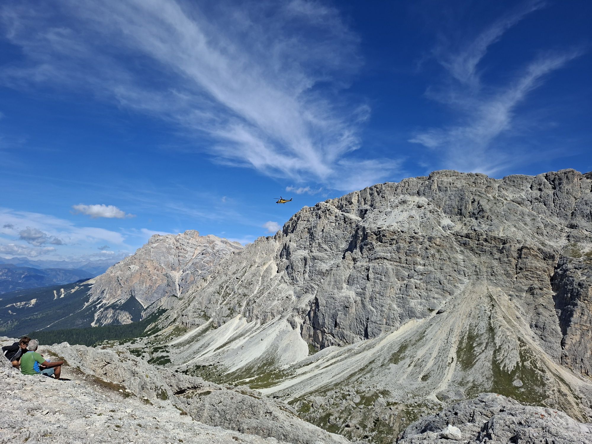
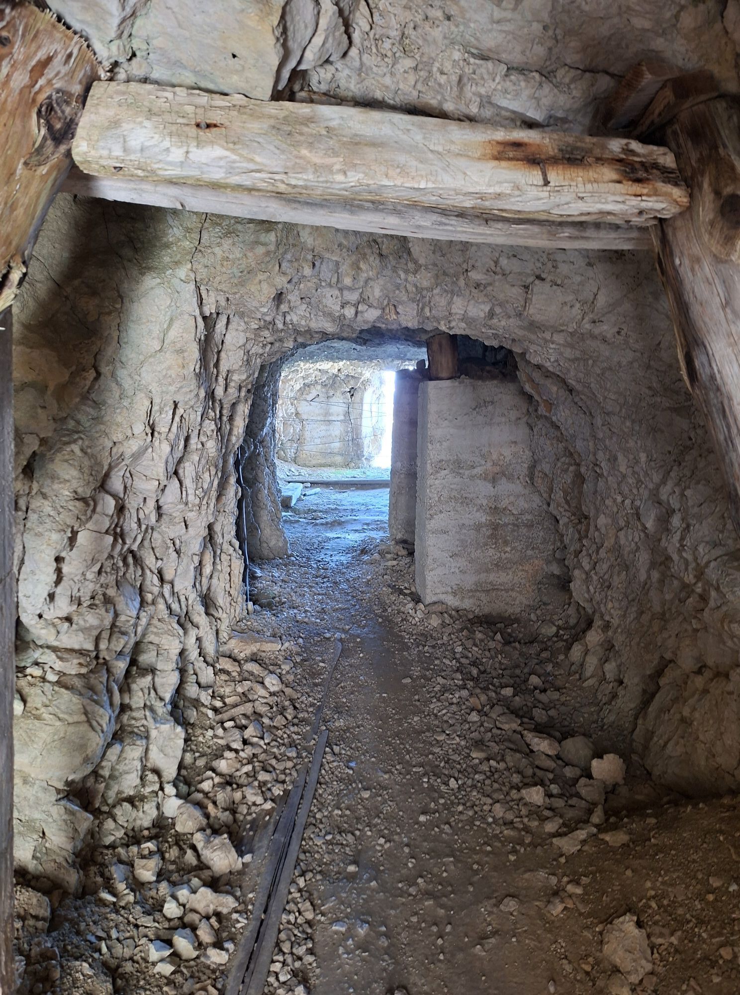
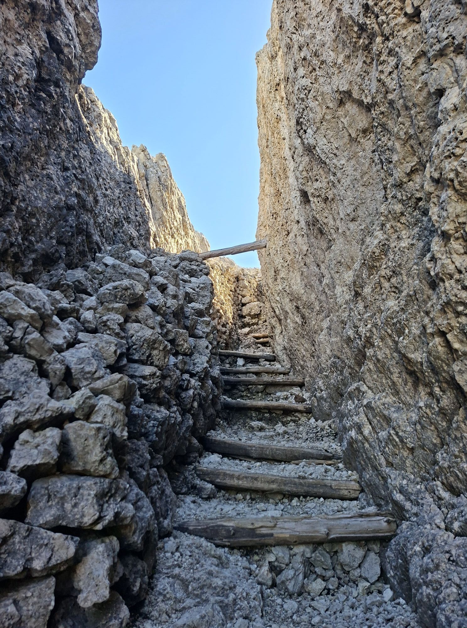
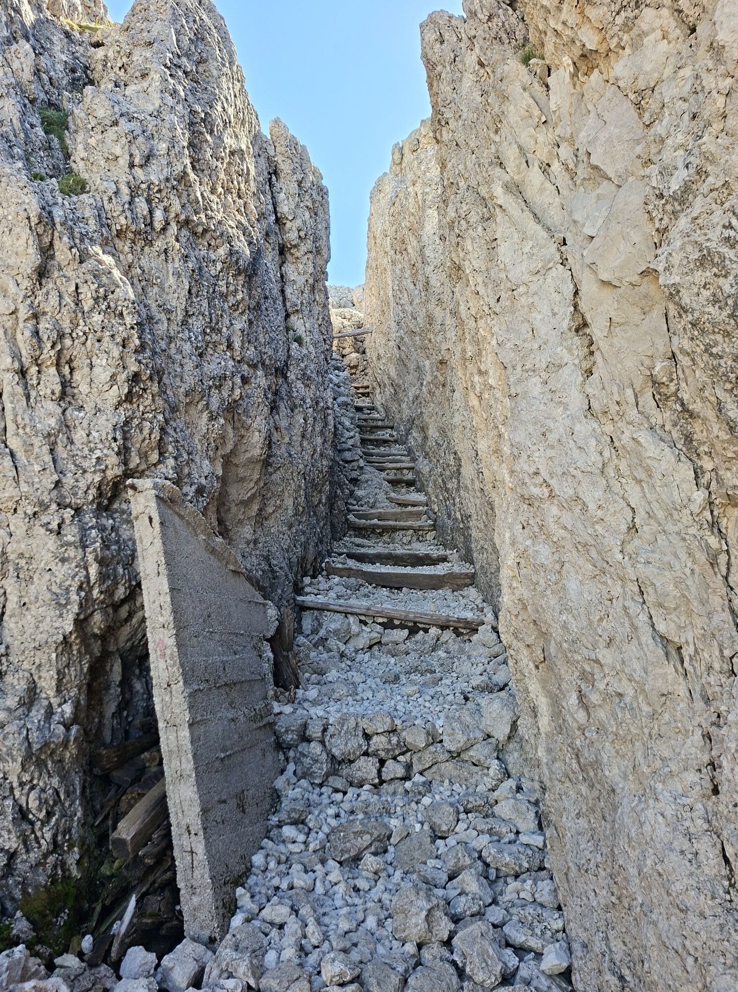
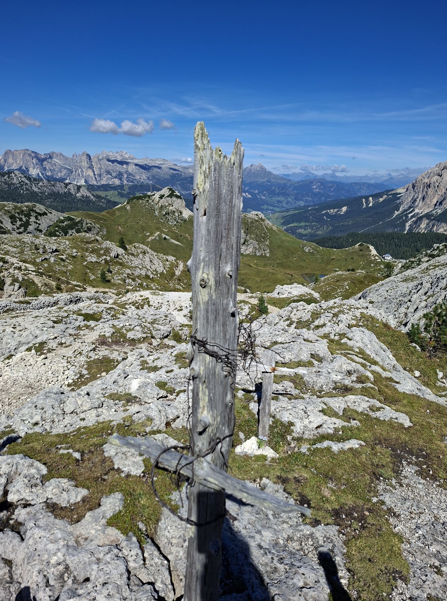
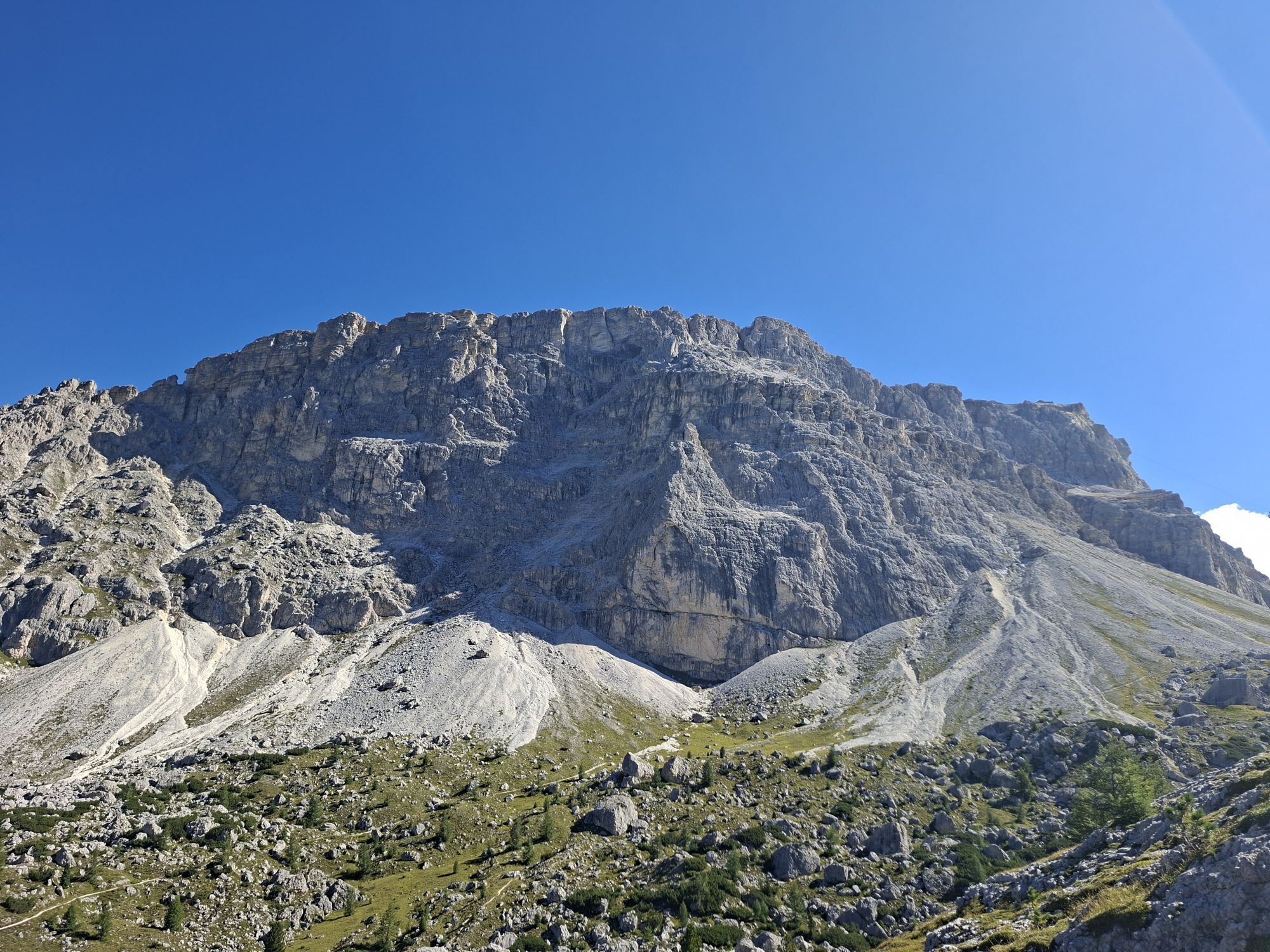
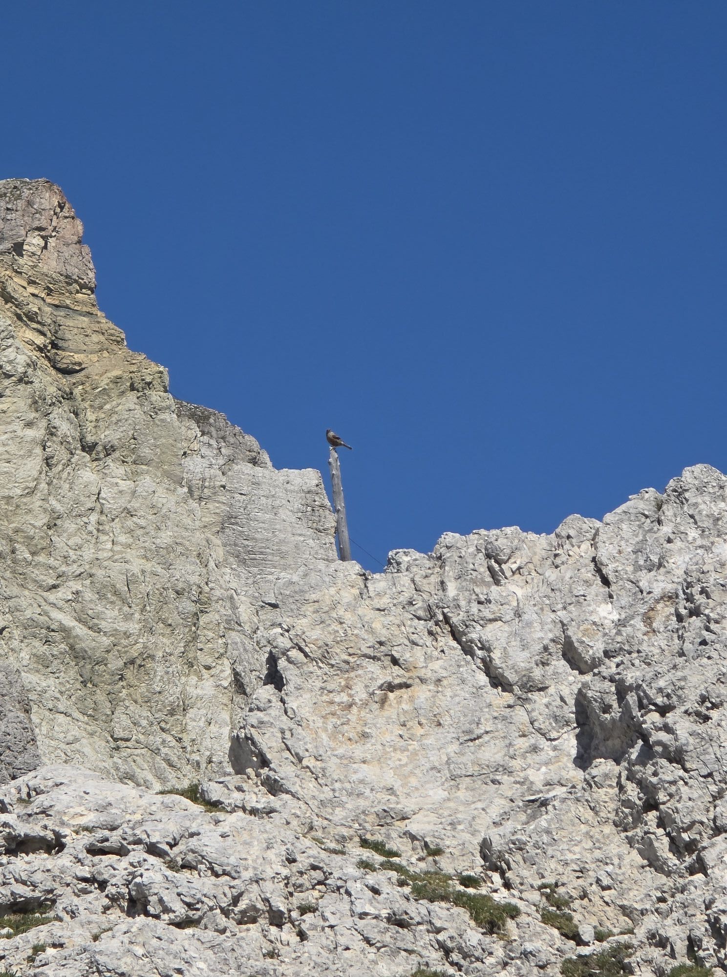
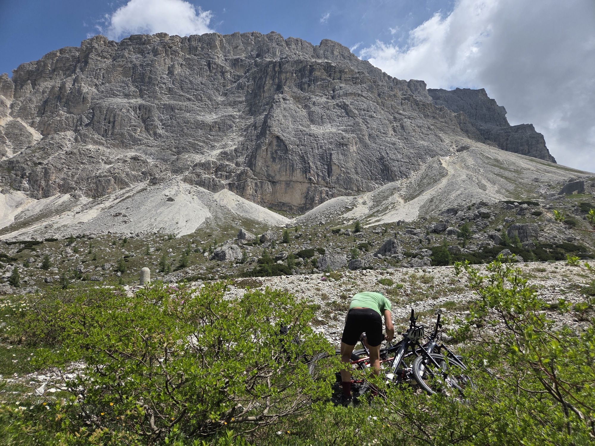
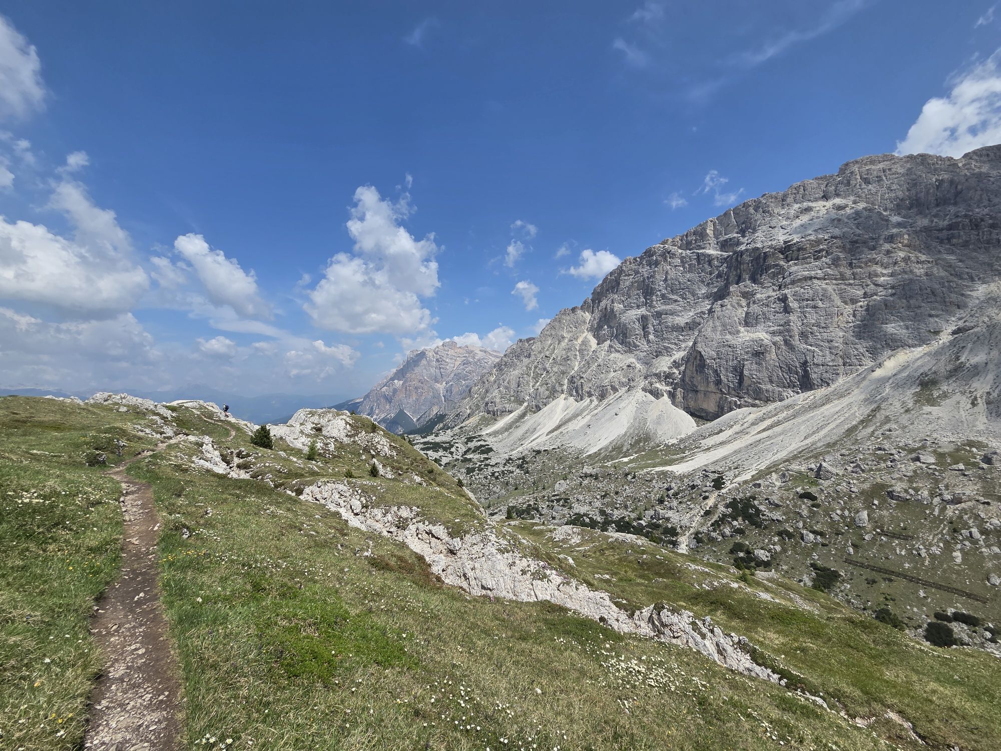
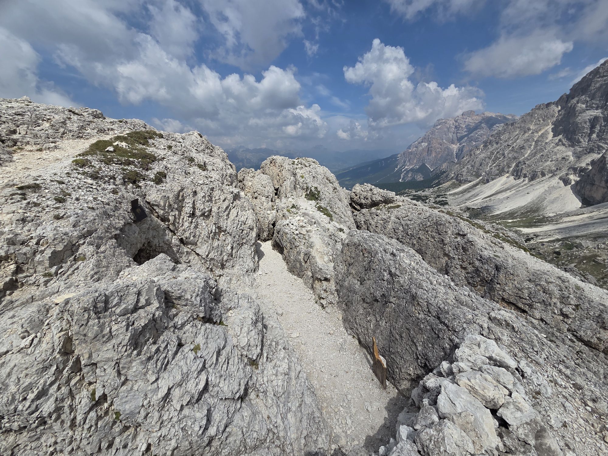
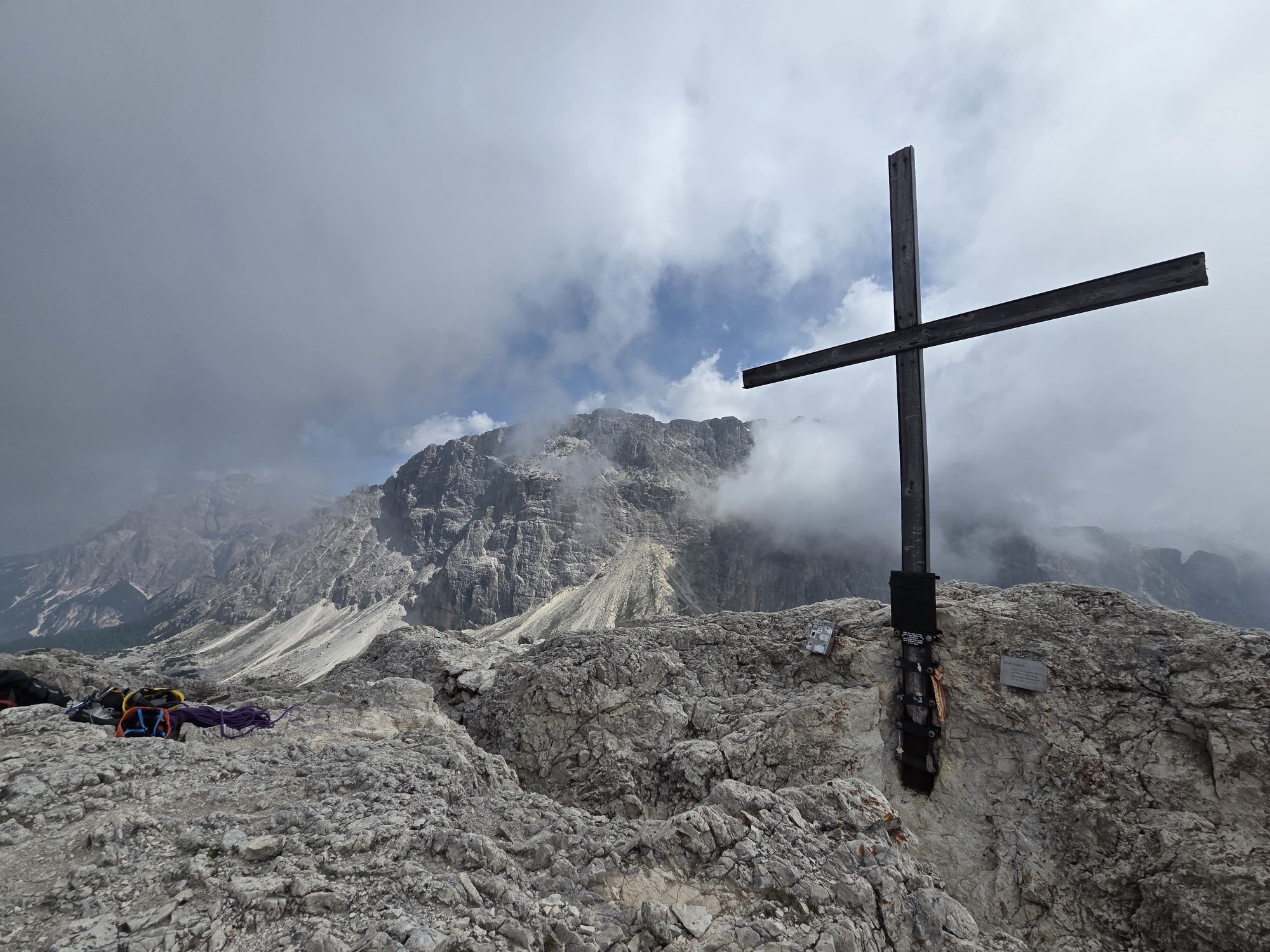
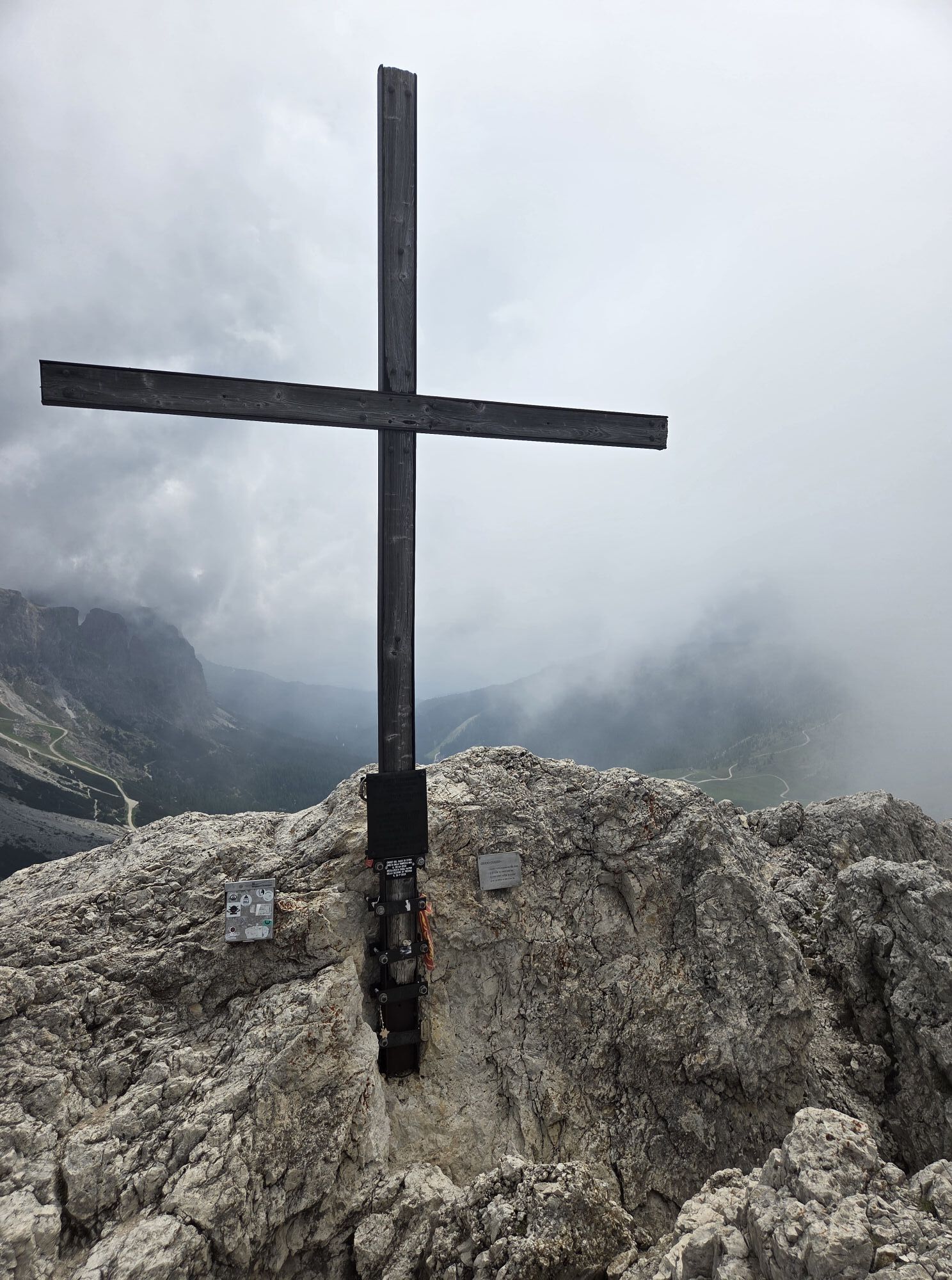
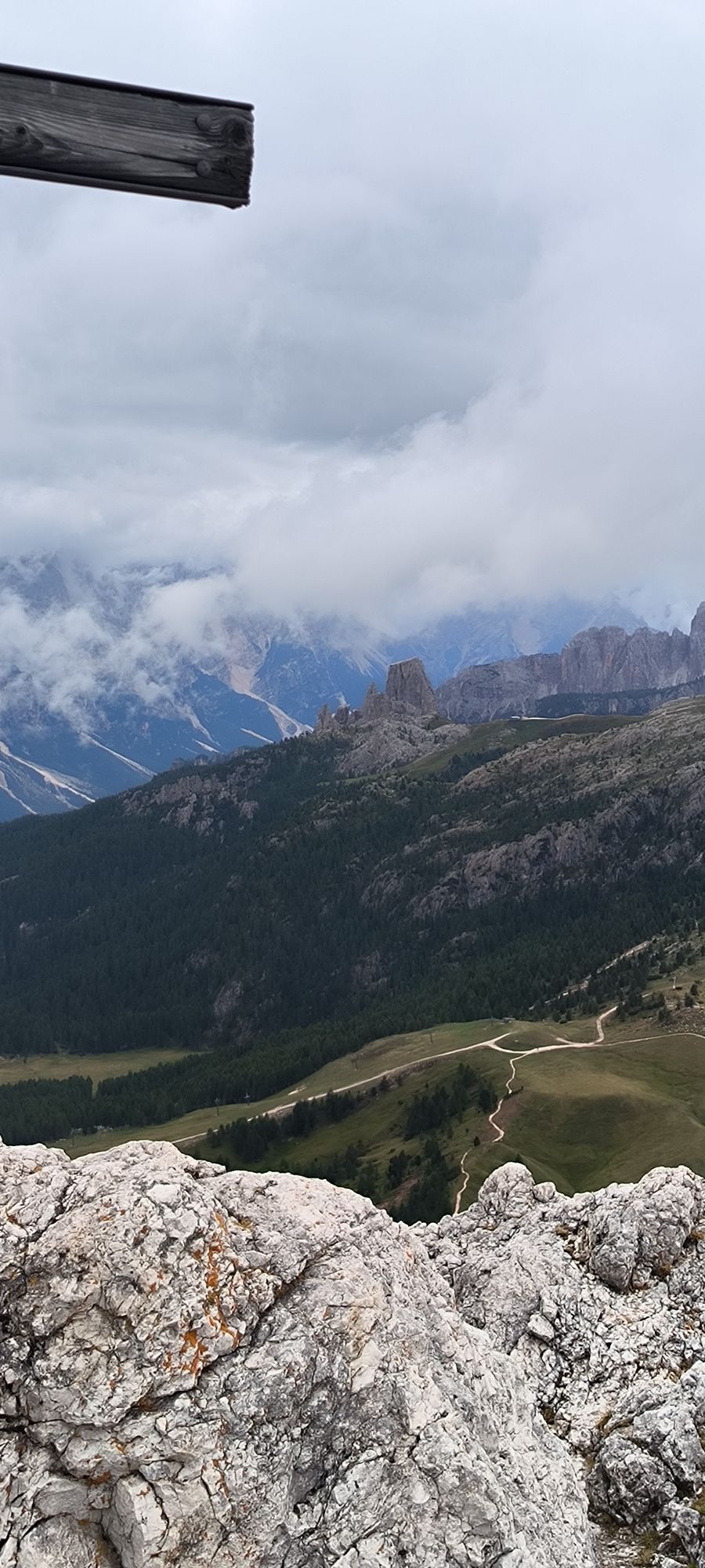
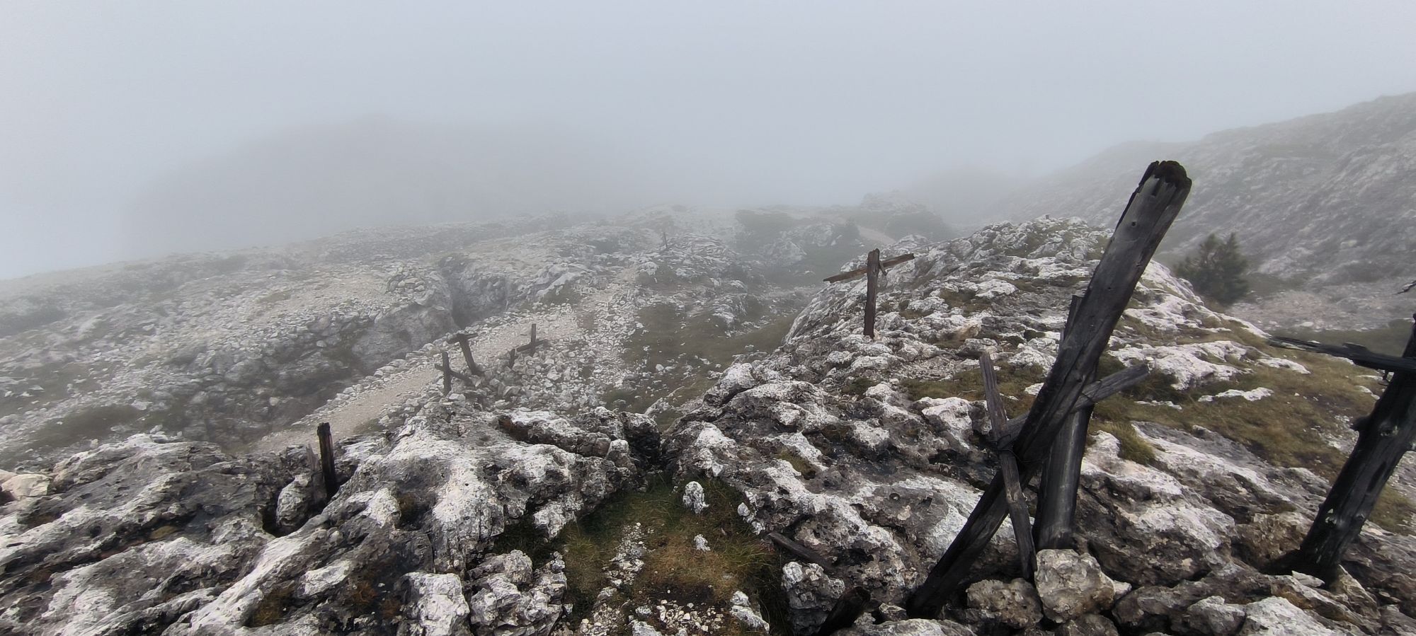
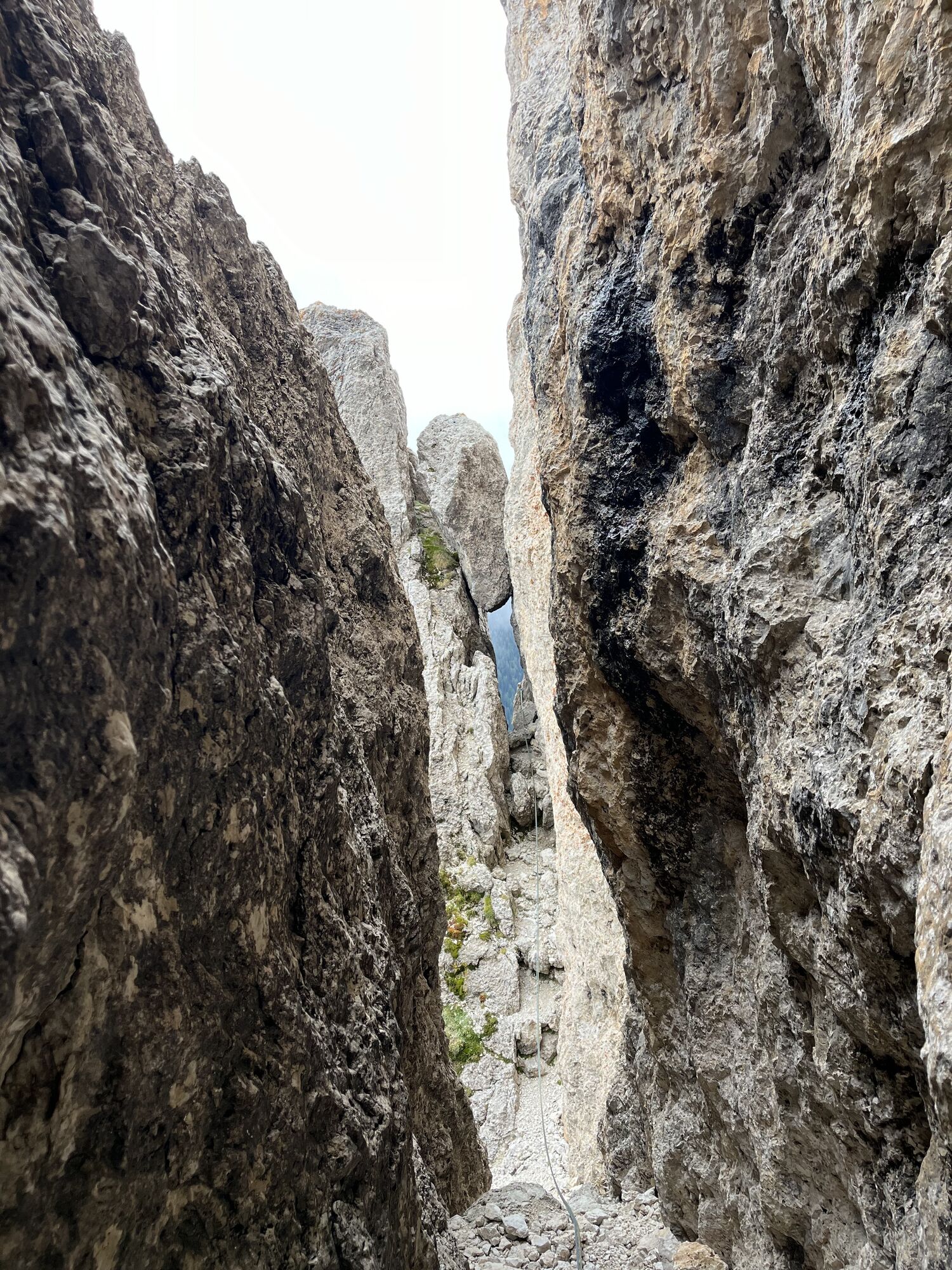
The Sass di Stria ("Witch's Stone) is located between the "Falzarego" Pass and the "Valparola" Pass. One of the most suggestive itineraries as the paths wind through trenches and tunnels of the First World...
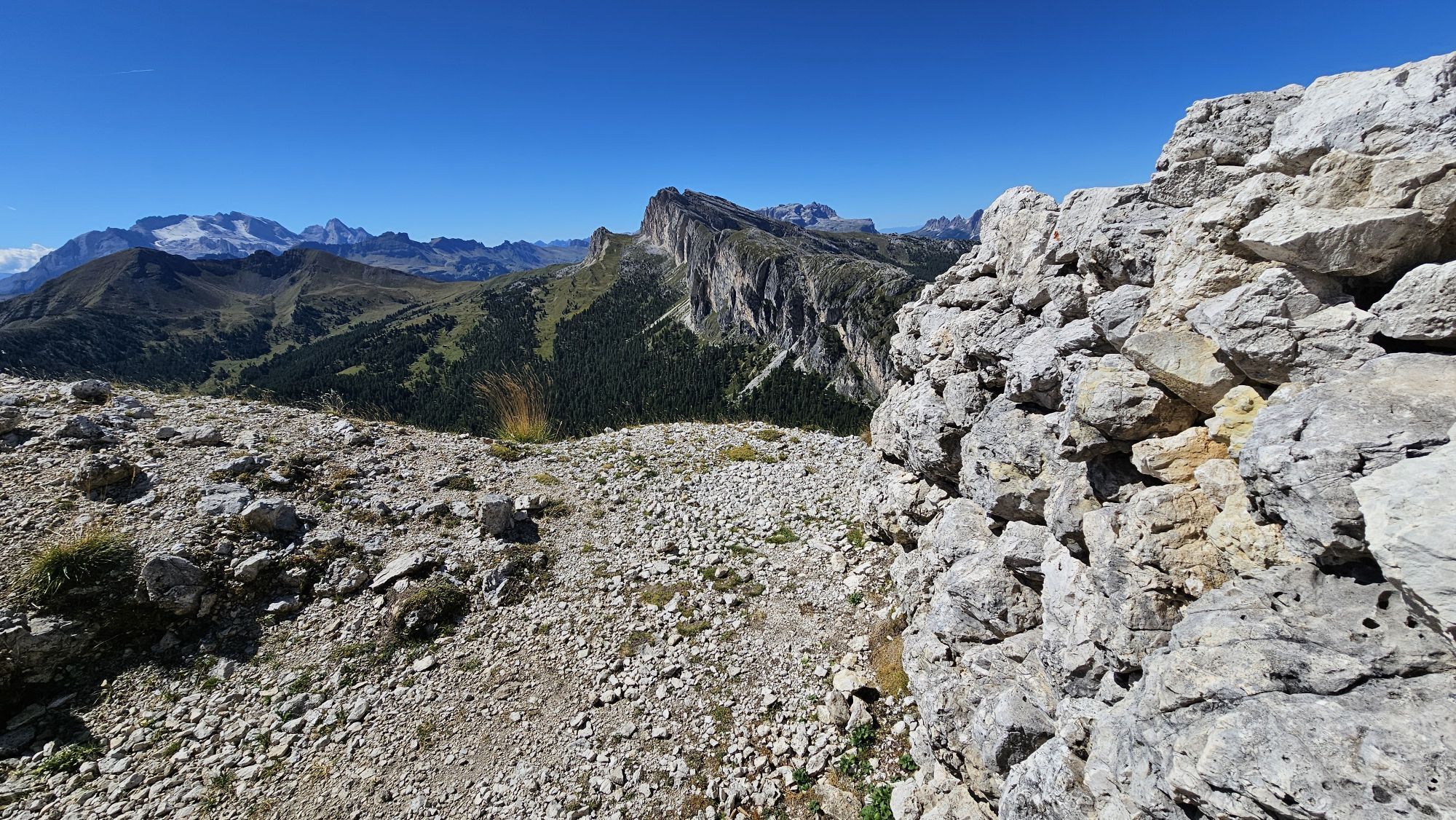
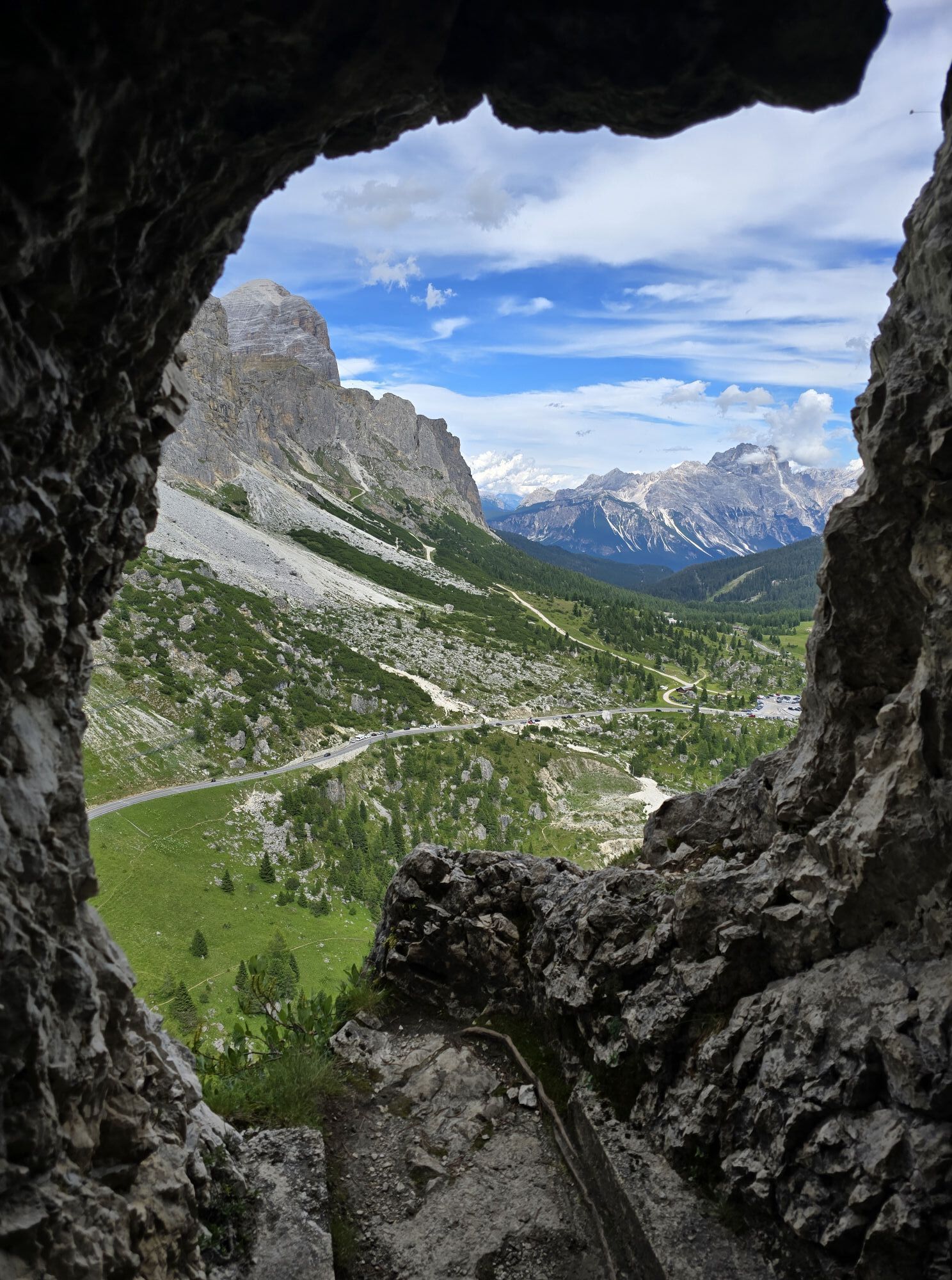
We recommend to start from Passo Valparola from the parking lot near the "Tre Sassi Fort" Museum, from there starts the path (red and white CAI signposts) that leads in about 1 hour of walking to the summit of "Sass di Stria" at 2.477m with a difference in level of 309m. During the ascent you cross positions for machine guns, tunnels, parapets and trenches.
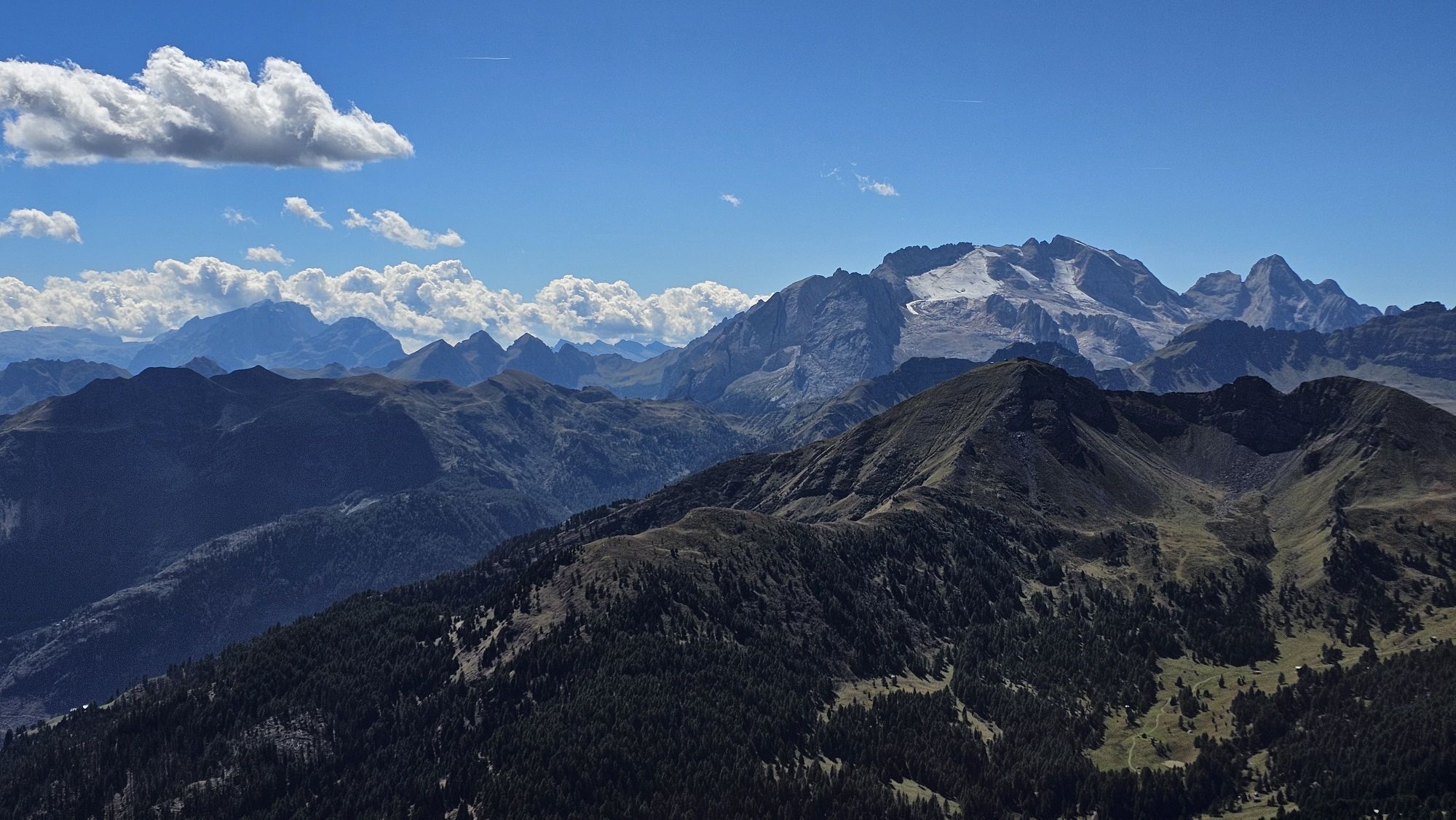
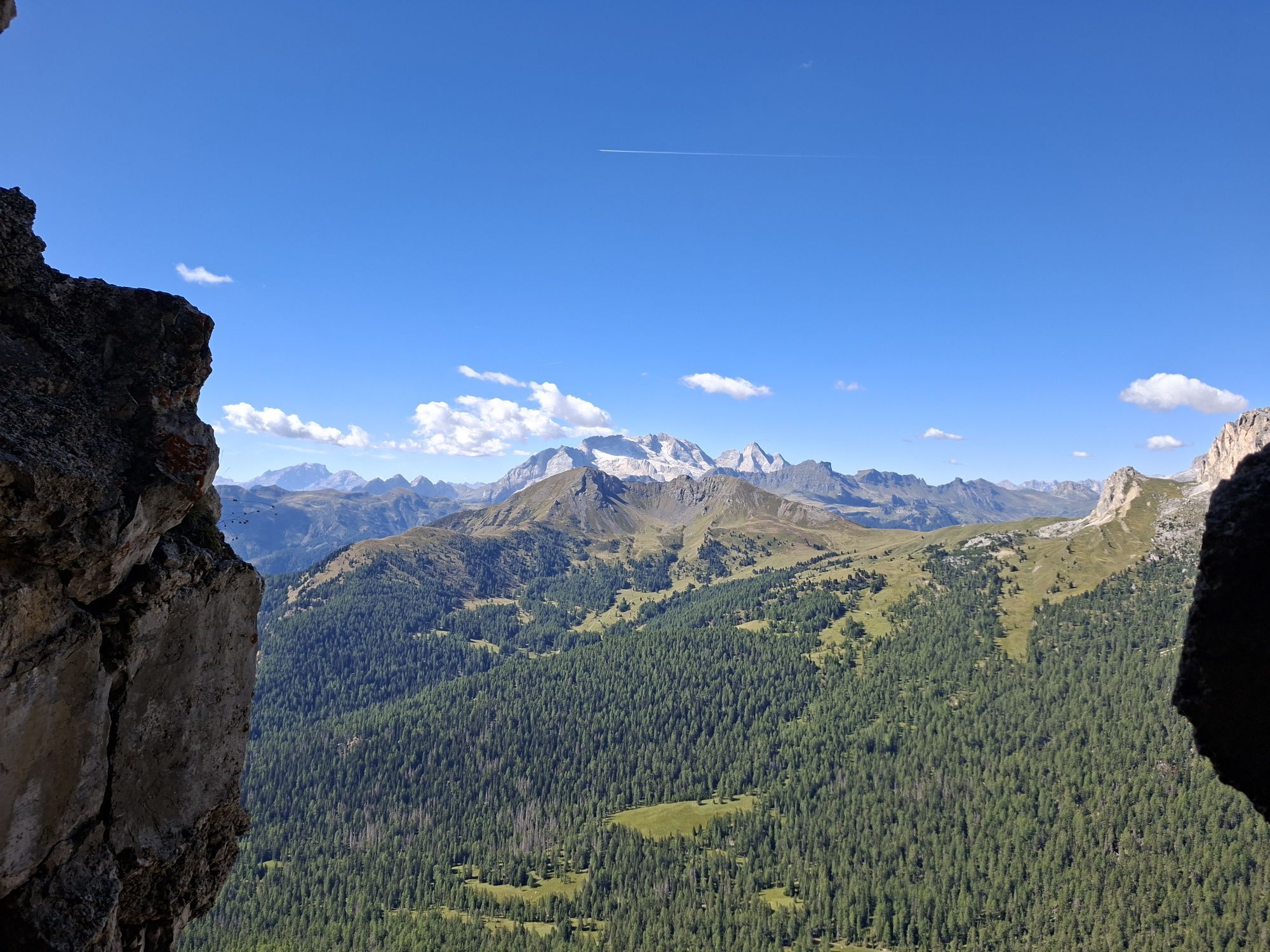
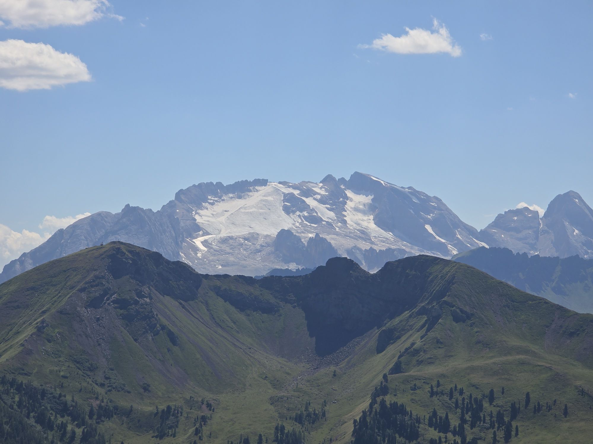
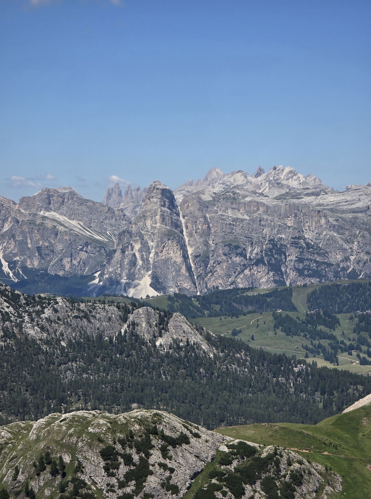
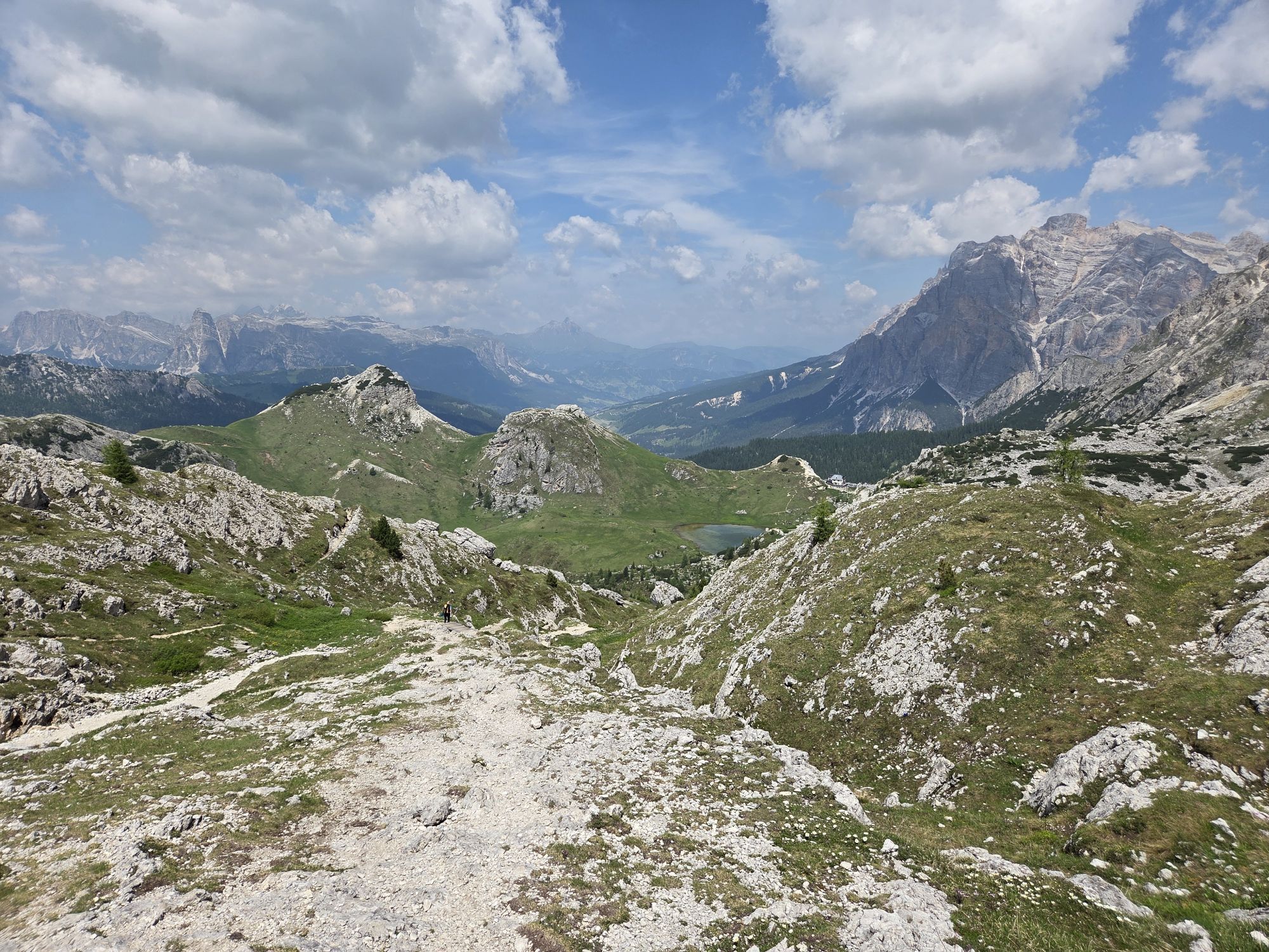
You will enjoy 360 ° views of the UNESCO World Heritage Dolomites, with views of mountains "Col di Lana", "Lagazuoi", "Tofana, "Nuvolau", "Averau, "Marmolada" and the "Sella" Group.
The return takes place along the ascent route.



Departure from the "Valparola" pass, leaving the car near the Museum. From here continue up the mountain along the trail no 30, walking through the trenches and tunnels that lead to the summit. The last section is equipped and partially exposed.
Ano
Ano
Ano
The hiker's kit:
waterproof backpack or backpack with waterproof cover (not too big if the hike is short) topographic map (or a local map with recommended paths) compass and altimeter (or a sports watch) binoculars water bottles energy bars or snacks chocolate sandwiches (or lunch in a mountain hut) breathable t-shirt substitute T-shirt (preferably breathable) sweatshirt or pile windproof and waterproof jacket shorts long trousers long socks (long or mid-calf) multi - sport boots soft and snug on the ankle light hat/headband anti-glare sunglasses sun cream telescopic poles first aid kit (plasters, disinfectant, gauzes, etc.)Always let someone know where you are going and the approximate duration of the hike and avoid going alone.
The telephone number in case of emergency is 112 or 118 (ambulance).
By train
Nearest railway stations
Belluno - 70 km Brunico - 48 km Ponte Gardena - 51 kmBy bus
Brunico - 47 Km connection by SAD line www.sad.it Belluno - 70 km - connected by the Dolomitibus www.dolomitibus.itBy plane
Venice Treviso/Venice Marco Polo - 160/170 km Innsbruck - 140 km Verona - 270 km Milan Bergamo/Milan Malpensa - 310/400 kmParking available near the "Tre Sassi Fort" Museum at the "Valparola" Pass.
Before leaving, we advise you to inquire about the weather, which changes suddenly in the mountains, and the conditions of the route.
It is reccomended he use of a headlamp in tunnels.
"The vademecum of the sustainable hiker":
choose the route according to your physical and technical abilities before the start, read up on the route you intend to take (distances, height difference, hours spent, springs, fountains, refuges, lifts, bivouacs, etc.). check the condition of the chosen path never undertake a hike alone always take the rubbish back to the village please stay on the marked trails please be quiet do not pick up stones or minerals do not feed animals do not light fires do not pick up flowers or plants

Webové kamery z prohlídky

Aktivity na trase
-

Hayden, Venetien/Italien
01.10.2026 – Turistika -

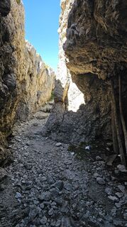
Sas de Stria, Veneto/Italia
06.09.2026 – Turistika -

Hayden, Venetien/Italien
23.08.2026 – Turistika -

Hexenstein, Venetien/Italien
23.08.2026 – Turistika -

Cortina d'Ampezzo, Veneto/Italia
17.08.2026 – Turistika -
Cortina d'Ampezzo, Veneto/Italia
31.07.2026 – Horská turistika -
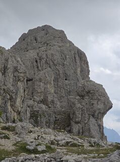
Sass De Stria 3° con fulmine
26.07.2026 – Horská turistika -
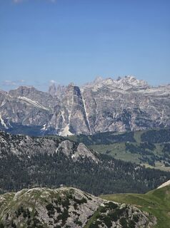
Sass De Stria, trincee 2°
12.07.2026 – Horská turistika
Oblíbené prohlídky v okolí
-
4.8
Pordoi Pass - Sass Pordoi - Forcella Pordoi - Piz Boè - Boè Refuge - Forcella Pordoi - Pordoi Pass
heavyTuristika 8.39 km -
4.4
Viel dal pan
světloTuristika 6.60 km -
4.8
Pisciadùsteig Sella Gruppe
středníVia ferrata 7.15 km -
4.8
Passo Giau roundtrip
středníTuristika 8.10 km -
4.6
Five Towers Tour (Averau, Nuvolau and Scoiattoli refuges) from Giau Pass
středníTuristika 10.8 km -
4.9
Via Ferrata "Cesare Piazzetta"
heavyVia ferrata 9.07 km -
4.5
Dolomiten Sellagruppe, Alb. Col di Lana, Sas de Pordoi, Piz Boé retour 22.06.2016
středníTuristika 5 km -
4.7
Giovanni Barbara (A/B) Klettersteig
světloVia ferrata 6.16 km -
4.9
Fanes-Sennes-Runde
Mountainbike 54.8 km -
4.5
Lago Federa
středníTuristika 14.6 km
Pěší turistika a stopování


Nenechte si ujít nabídky a inspiraci pro vaši příští dovolenou
Vaše e-mailová adresa byl přidán do poštovního seznamu.





