


AVDB - Stage 3: Rif. Bianchet - Miniere Val Imperina
The walk starts at Rifugio Bianchet, immersed among shady and silent woods. It descends along Val Vescovà, accompanied by the sound of water and the coolness of the undergrowth. After crossing the Cordevole stream,...
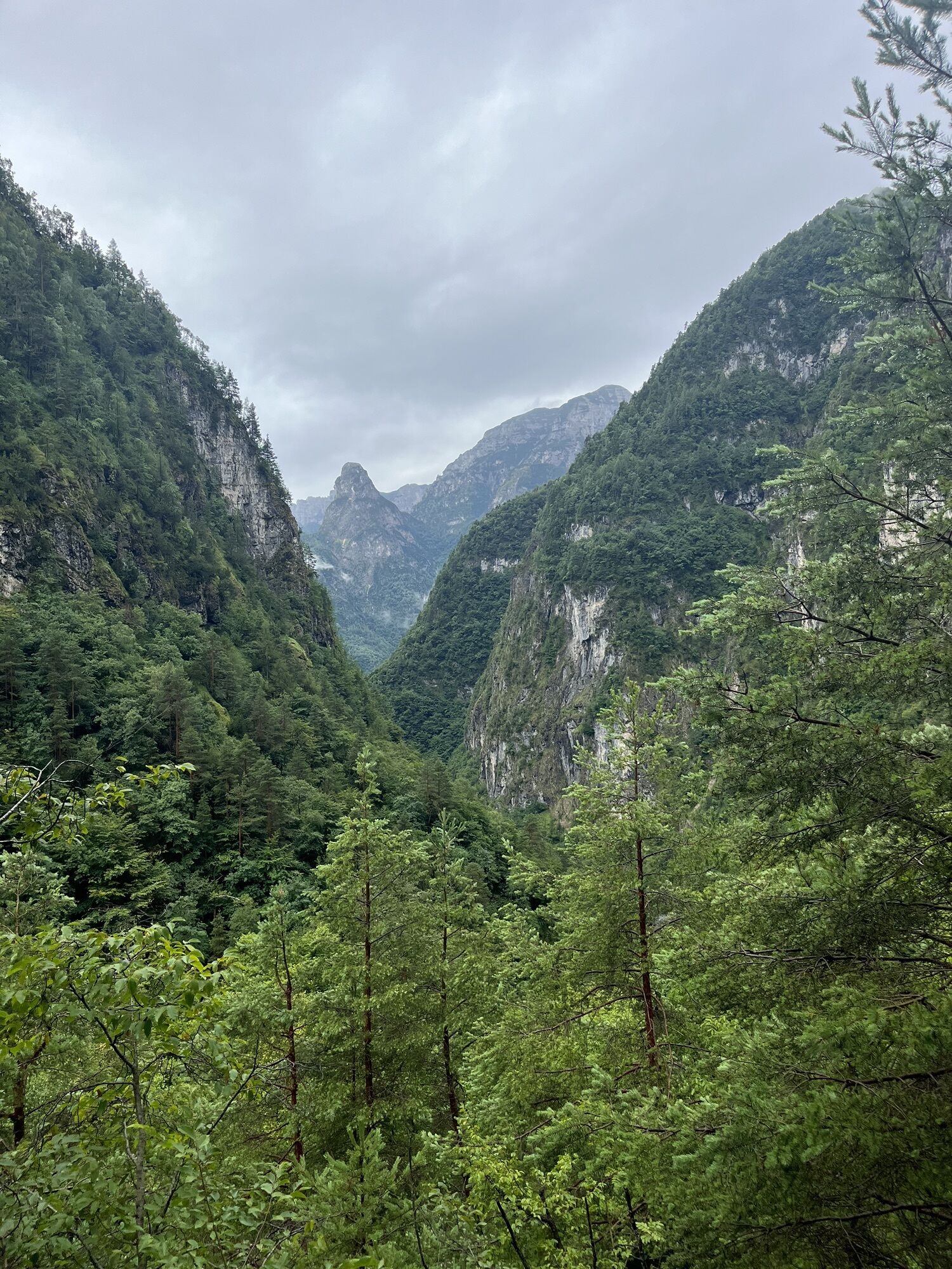
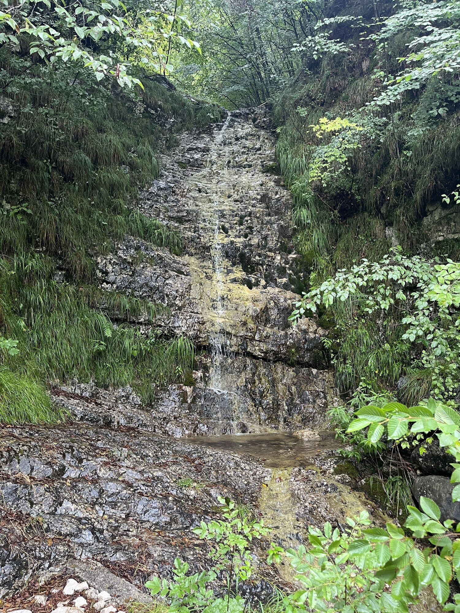
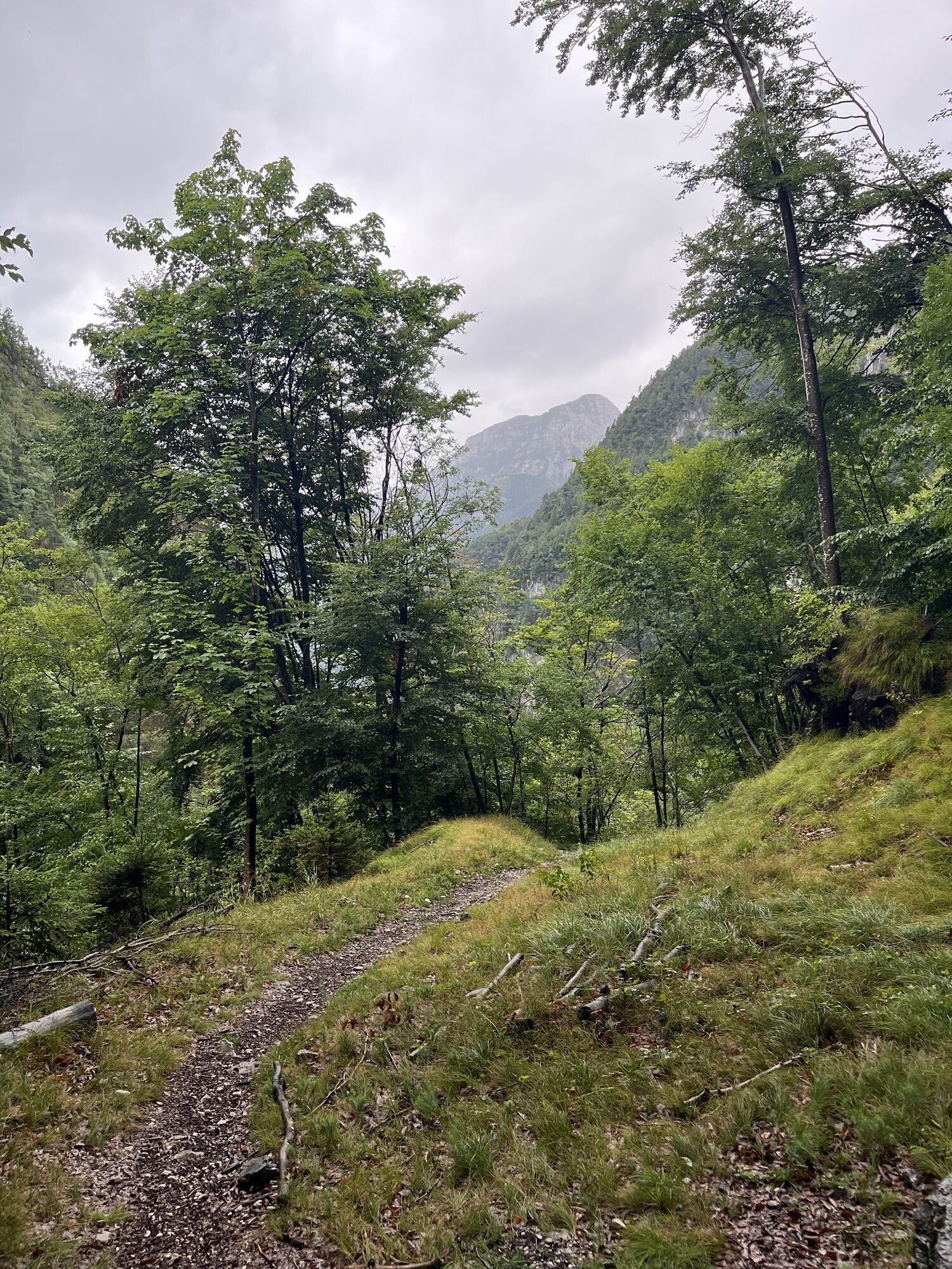
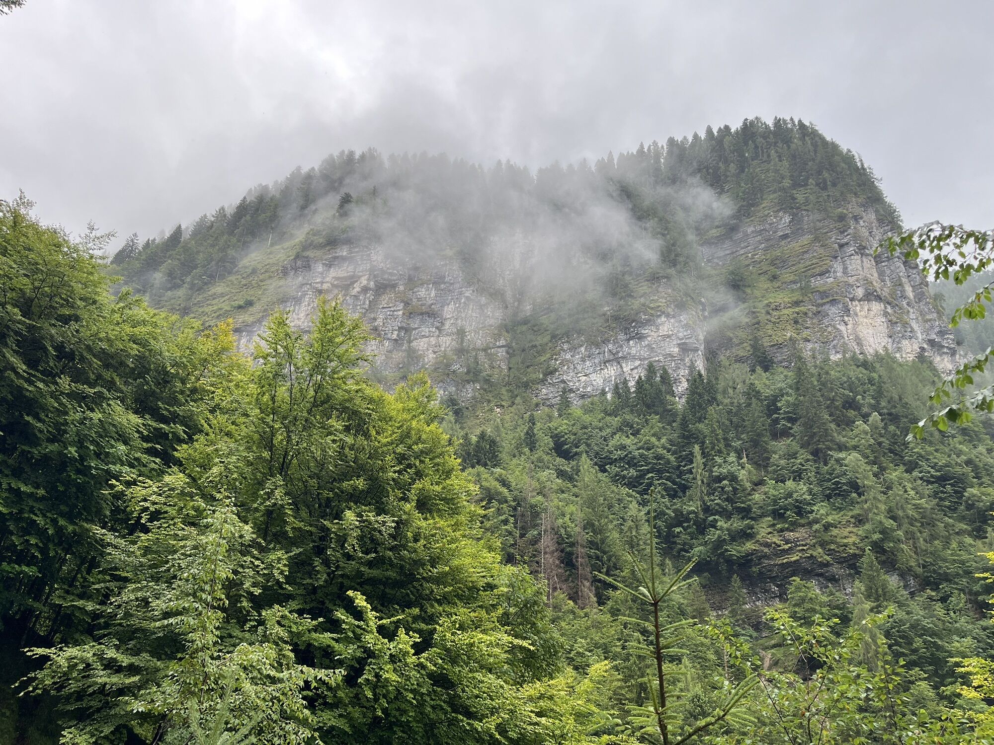
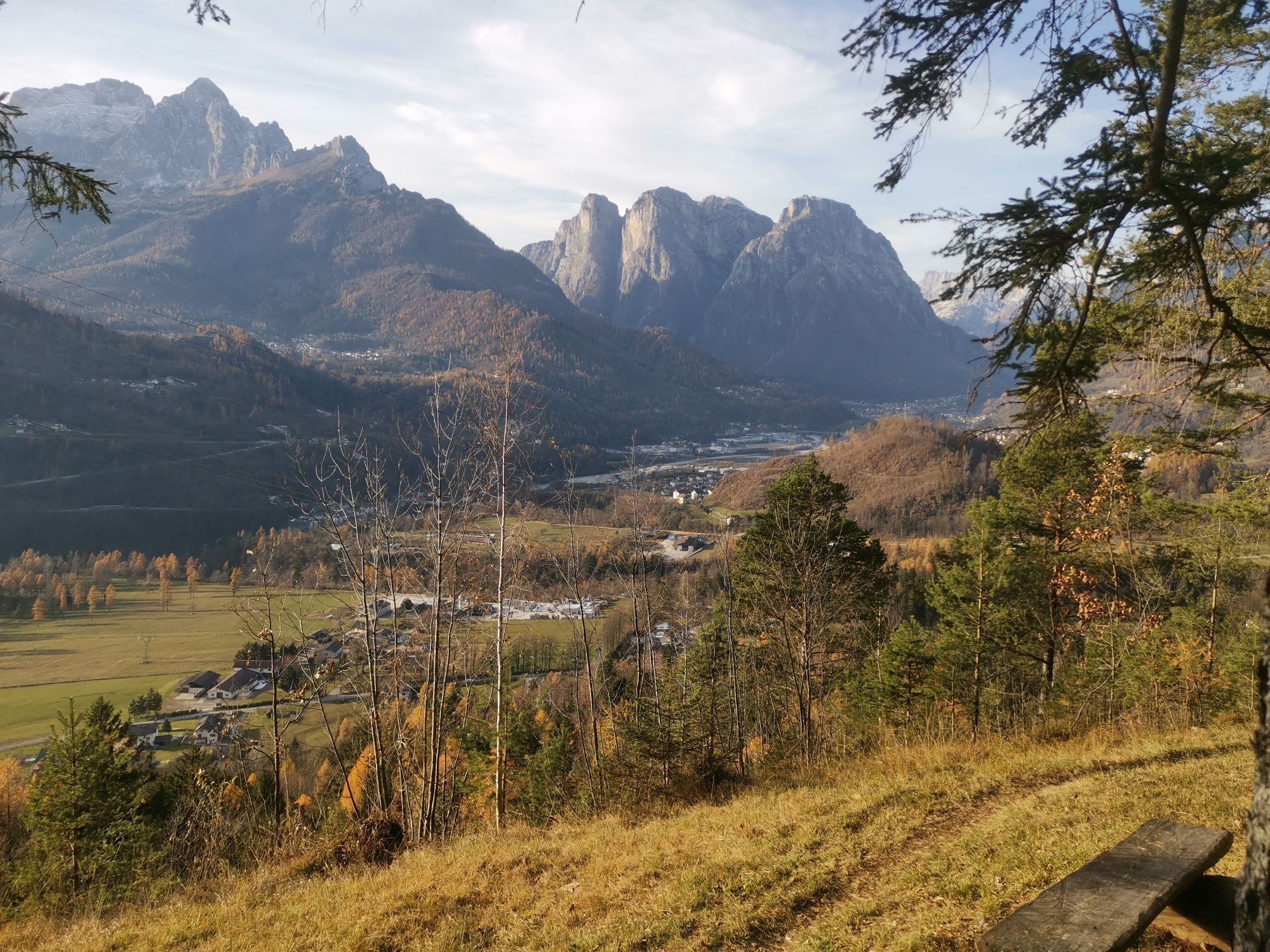
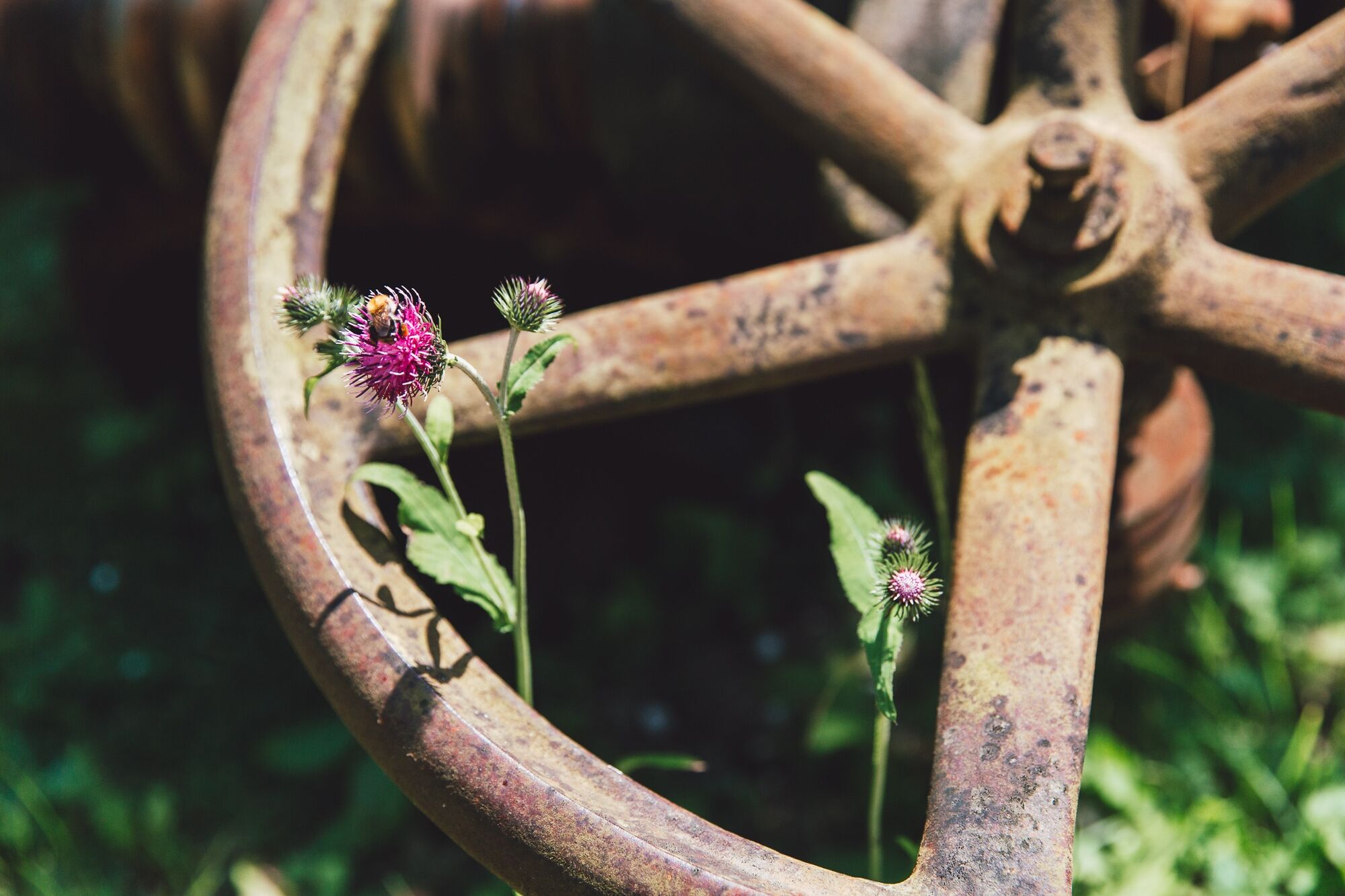
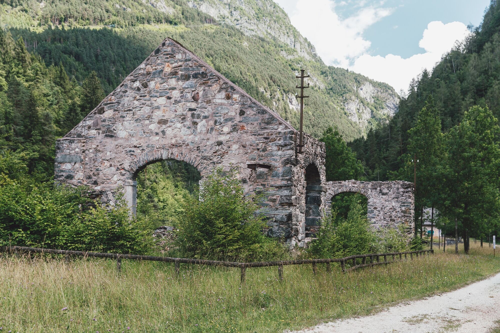
The walk starts at Rifugio Bianchet, immersed among shady and silent woods. It descends along Val Vescovà, accompanied by the sound of water and the coolness of the undergrowth. After crossing the Cordevole stream, you enter an increasingly wild landscape, where old stone roads and signs of a long-gone human presence appear. Among bushes and silences emerge the remains of small abandoned villages like Roit and Noach, with ruined houses that tell a forgotten past. The landscape changes again approaching Valle Imperina, where nature gives way to signs of industrial history. The mines, the remains of the plants, and the structures of the ancient mining complex take us back to a time of hard work and intense life. Today, among visitable galleries and a hostel converted from a historic building, this place welcomes travelers with an atmosphere suspended between memory and discovery.

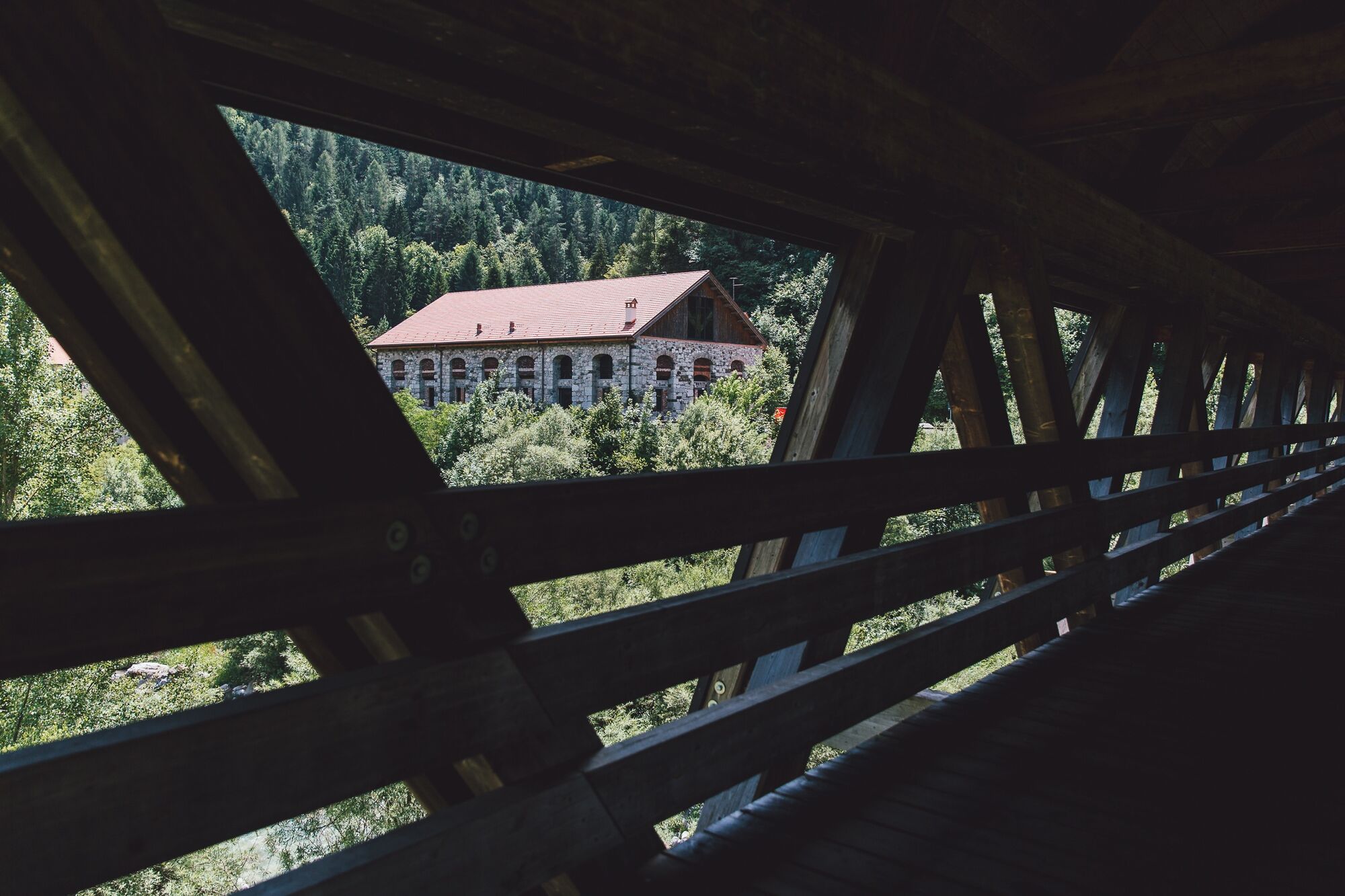
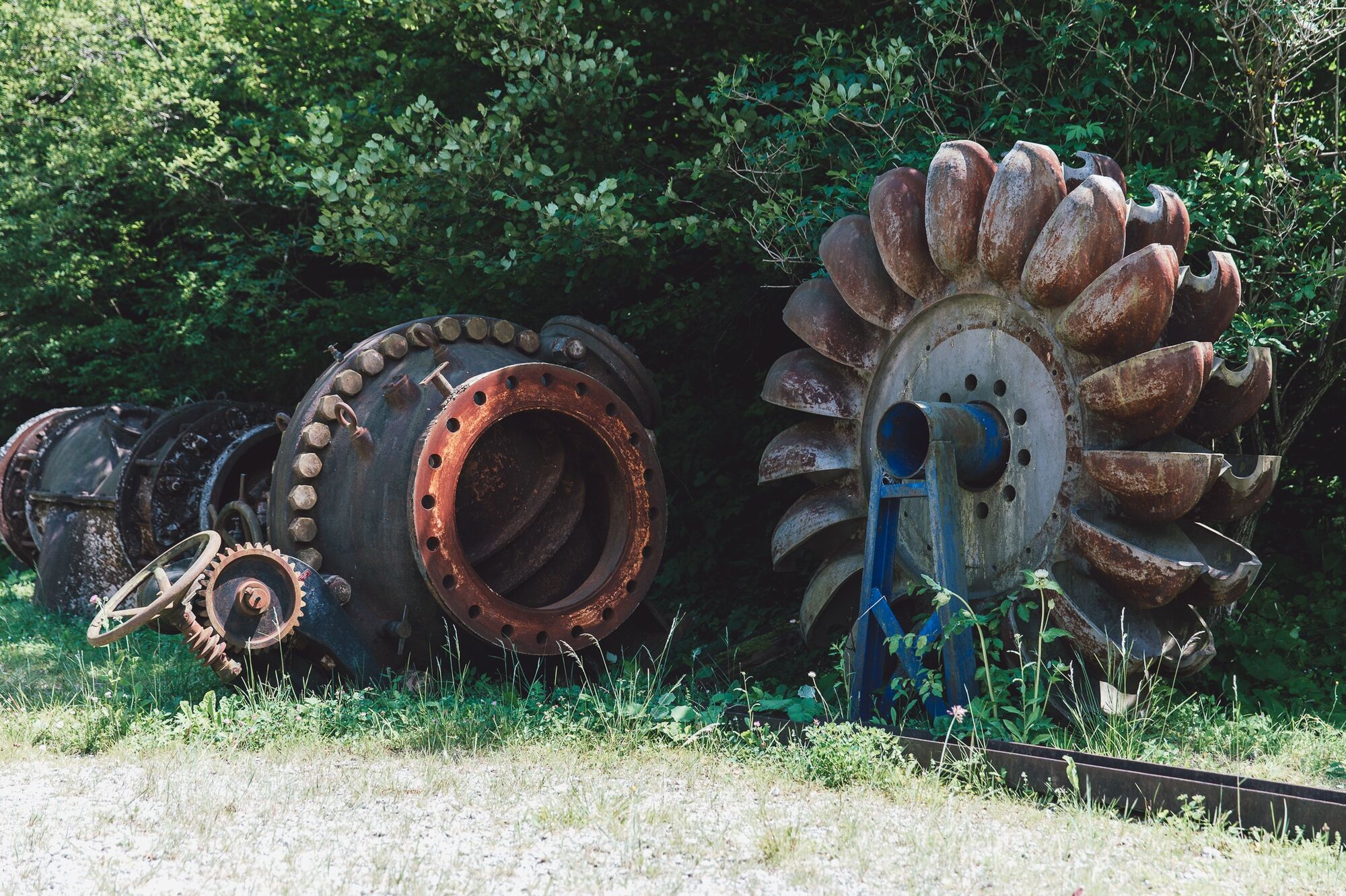
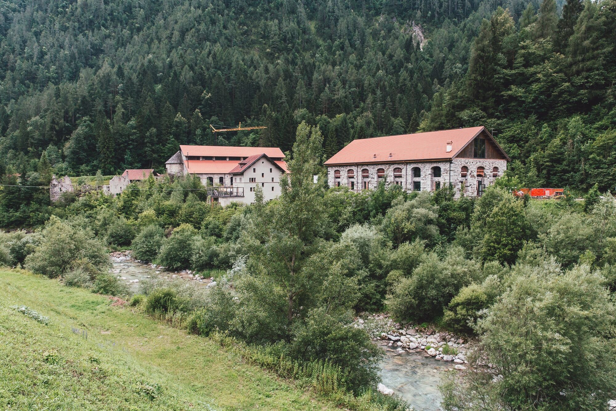
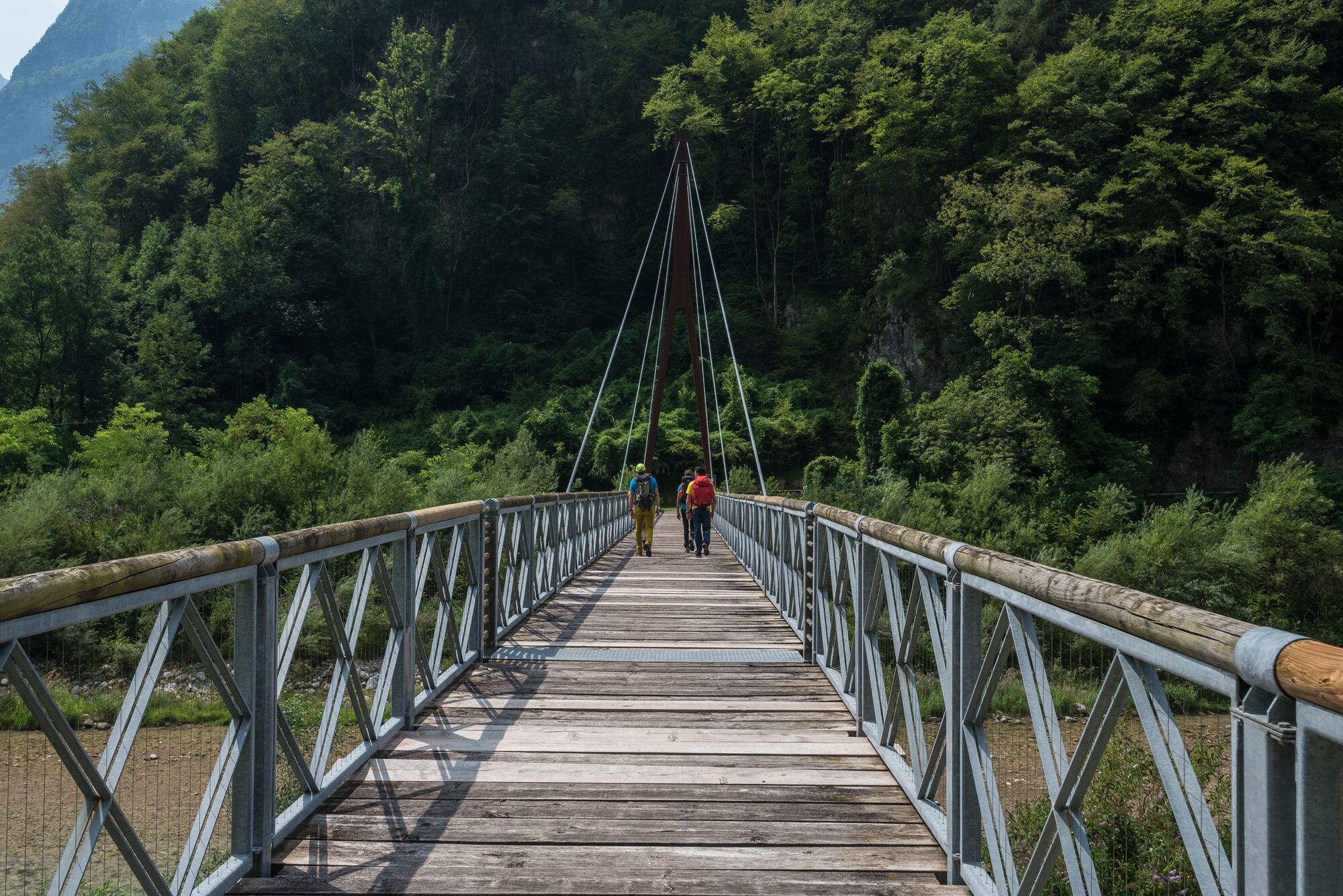
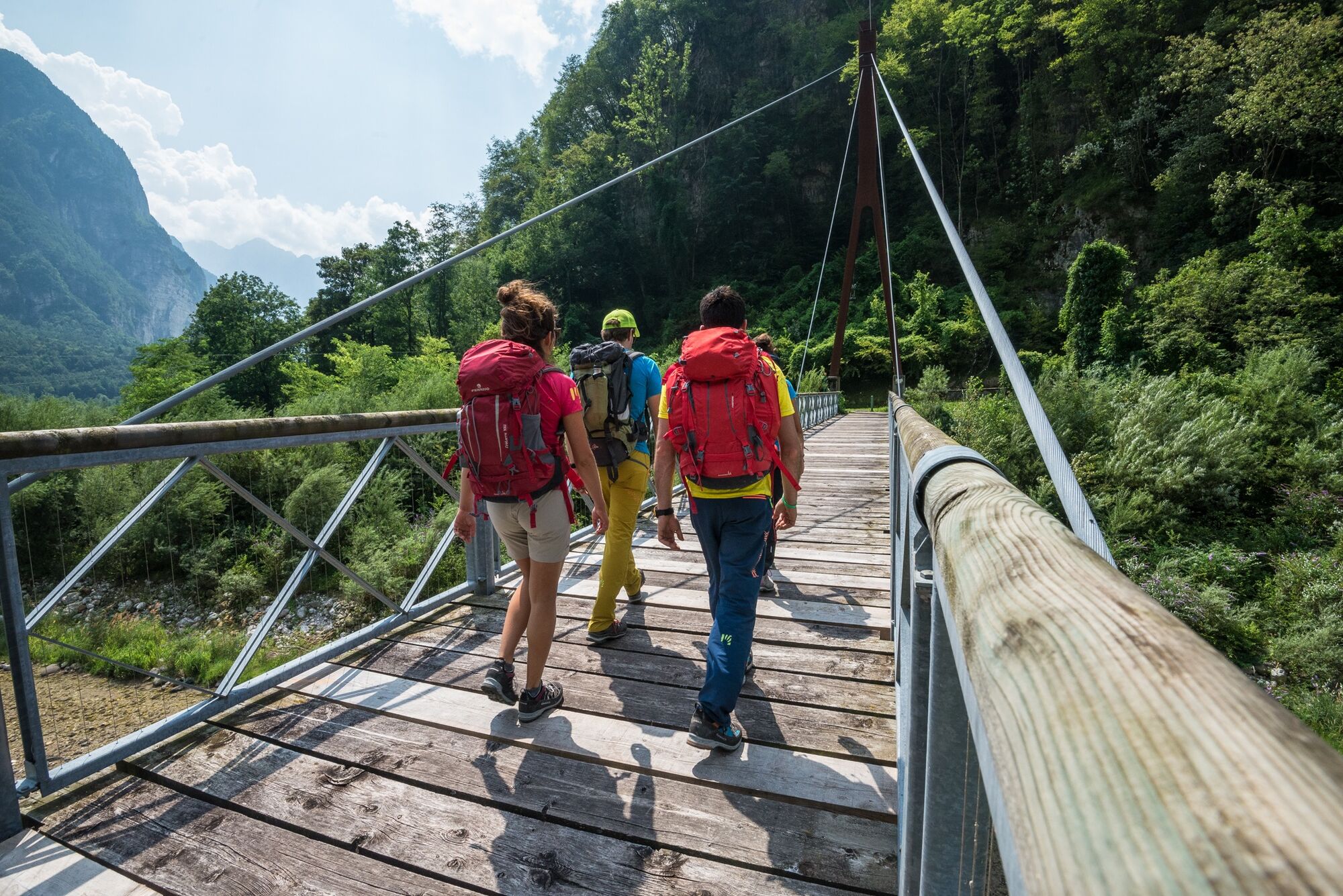
From Rifugio Bianchet, follow the CAI 503 trail which, in about two hours and over a length of 9 kilometers, gently descends through the Val Vescovà to reach the valley floor at Pinei, where the Val del Cordevole is found. From here, travel for a short stretch of about 1.2 kilometers along the regional road 203 Agordina, a paved section leading near La Muda, where a lunch break is possible at the Ristoro San Martino. After crossing the Cordevole via a pedestrian bridge, reach the locality of Agre. From the Agre junction, ascend the river to a second bridge allowing access to the locality of Torner. From here, take the CAI 541 trail, which leads to a junction from which the CAI 541A trail is followed up to Cancellade. Continuing along the paved road, first on Via delle Cancellade and then on Via Noach, the homonymous settlement is crossed until reaching the bridge leading to the mining center of Valle Imperina. Here, visitors can tour the galleries, the smelting furnaces, and an exhibition recounting the mining history of the area. The youth hostel, converted from an 18th-century building, offers the possibility to stay overnight, completing the stage with an experience rich in nature and history.
Facing the Alta Via requires equipment suitable for high mountain. Trekking boots, telescopic poles, layered technical clothing, rain shell, gloves, and a hat are essential even in summer.
Carry a sleeping bag liner (mandatory in huts), first aid kit, sunglasses, sunscreen, power bank, headlamp with spare batteries, and a good map, supplemented by offline GPS apps.
Finally, a repellent spray and tweezers for ticks, increasingly present at altitude, are recommended.
The Alta Via Dolomiti Bellunesi is a challenging trekking, suitable only for experienced and well-trained hikers. The route includes exposed sections, technical passages, and requires sure footing, no fear of heights, and orientation skills, especially in the more isolated areas.
Signage (a purple bellflower) is present at key points but not always continuous: knowing how to orient yourself with map and GPS is essential. Two equipped sections with fixed ropes are present (stage 2 and stage 5), the latter not recommended for those who suffer from vertigo.
Free camping is not allowed: tent use is regulated and possible only with authorization from certain huts. It is advised to contact the accommodations in advance to check availability and book.
The recommended period to hike the Alta Via is from May to September, avoiding days with snow risk or after heavy rain. Given the exposure and length of the route, it is important to start light but well-equipped.
Follow the “3-change rule”: one to wear, one clean in the backpack, one drying. Along the route, there are huts and bivouacs, but organizing in advance is essential, especially during peak periods.
For updated information on stages and GPS tracks, consult the official Alta Via Dolomiti Bellunesi website, which also provides an email for direct contacts.
Oblíbené prohlídky v okolí
-
5.0
Zacchi-Berti-Marmol Schiara (B/C)
Via ferrata 16 km -
Alta Via Dolomiti Bellunesi
heavydálková pěší trasa 115.9 km -
17 Alta via delle Dolomiti Bellunesi
heavyVysokohorská turistika 100 km -
Val Pramper
světloTuristika 14.2 km -
5.0
monte Pizzocco
středníHorská turistika 10.5 km -
Prima Pala di San Lucano bivacco M. Bedin
Zimní turistika 16.0 km -
AVDB - Stage 2: Rif. Pramperet - Rif. Bianchet
středníVysokohorská turistika 11.4 km -
AVDB - Stage 1: Forno di Zoldo - Rif. Pramperet
středníVysokohorská turistika 9.38 km -
AVDB - Stage 4: Miniere Val Imperina - Malga Erera
heavyVysokohorská turistika 18.5 km -
Monti del Sole : Forcella Zana - Bivacco Valdo
Turistika 13.6 km

Pěší turistika a stopování


Nenechte si ujít nabídky a inspiraci pro vaši příští dovolenou
Vaše e-mailová adresa byl přidán do poštovního seznamu.