







Alta Via Dolomiti Bellunesi
Úroveň obtížnosti: T3
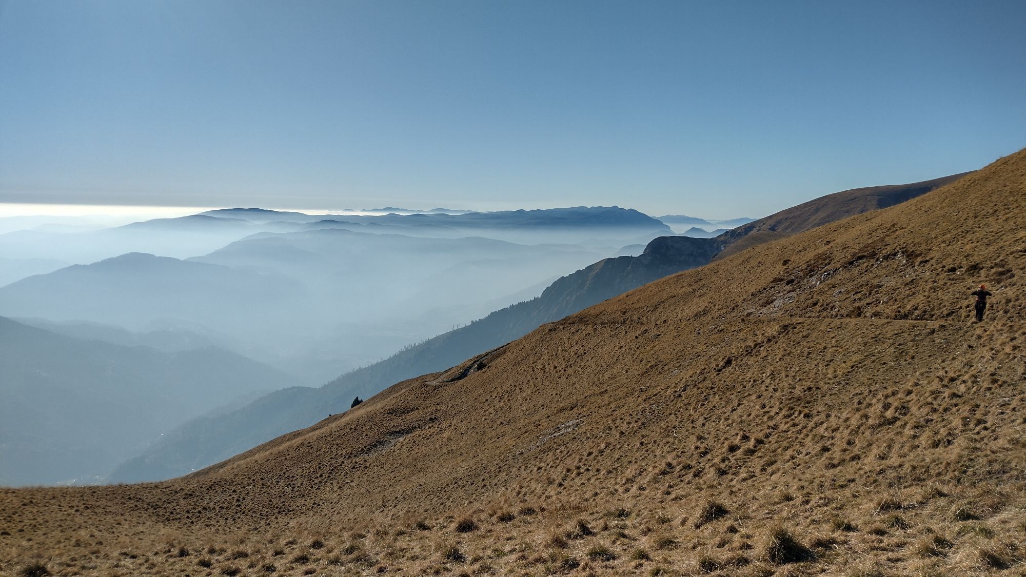
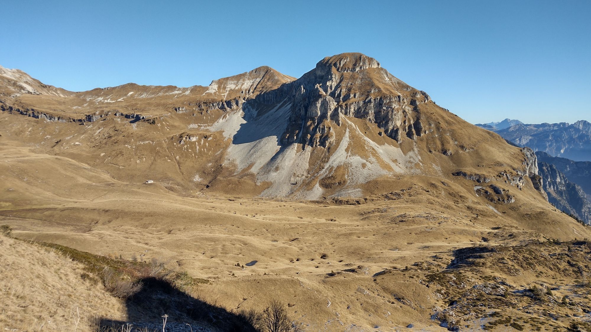
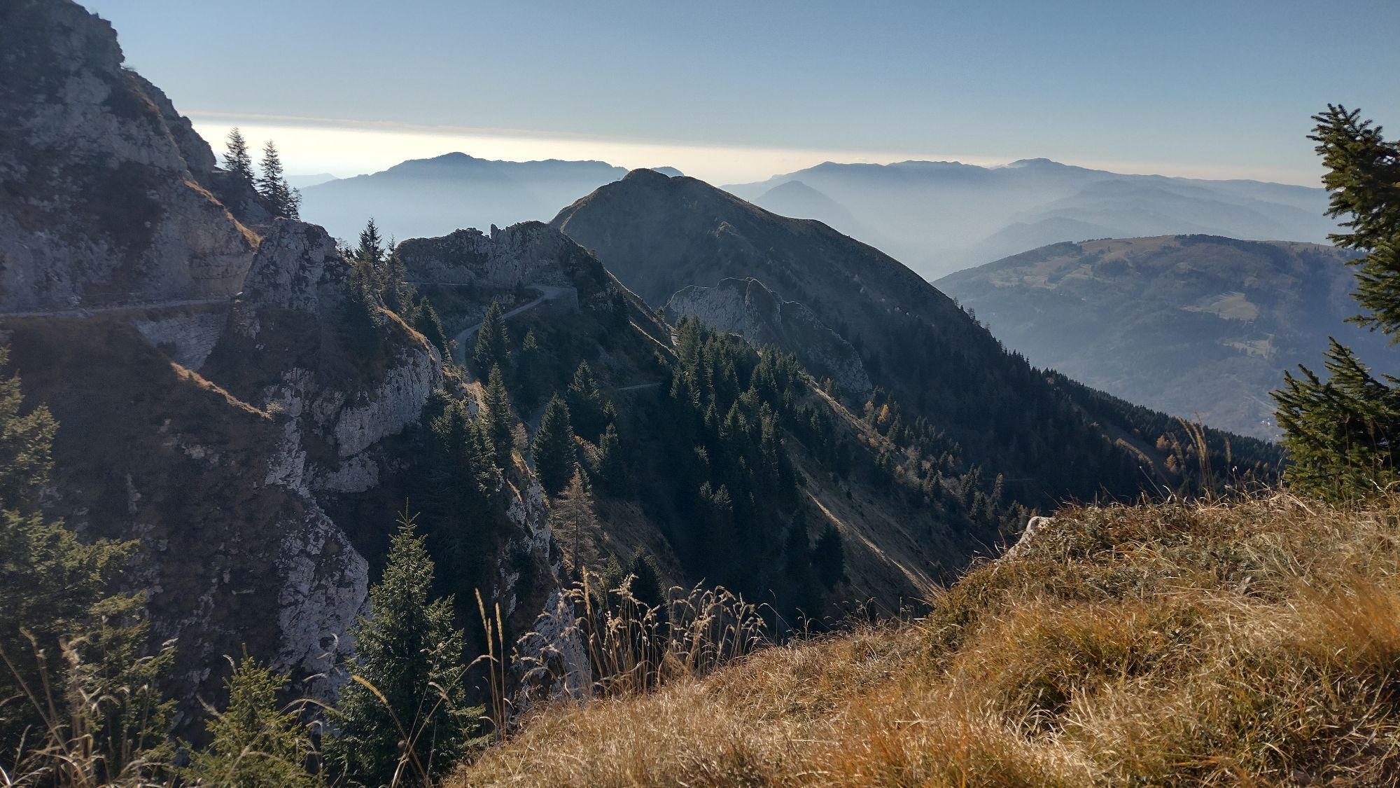
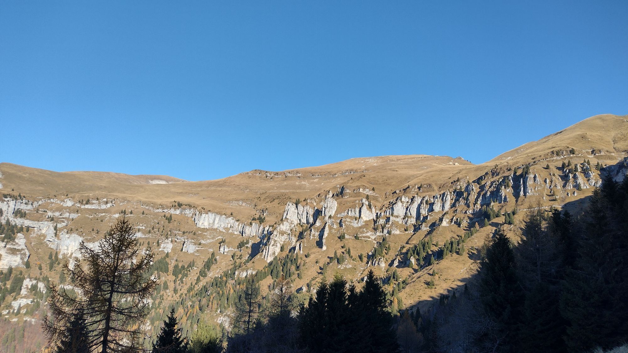
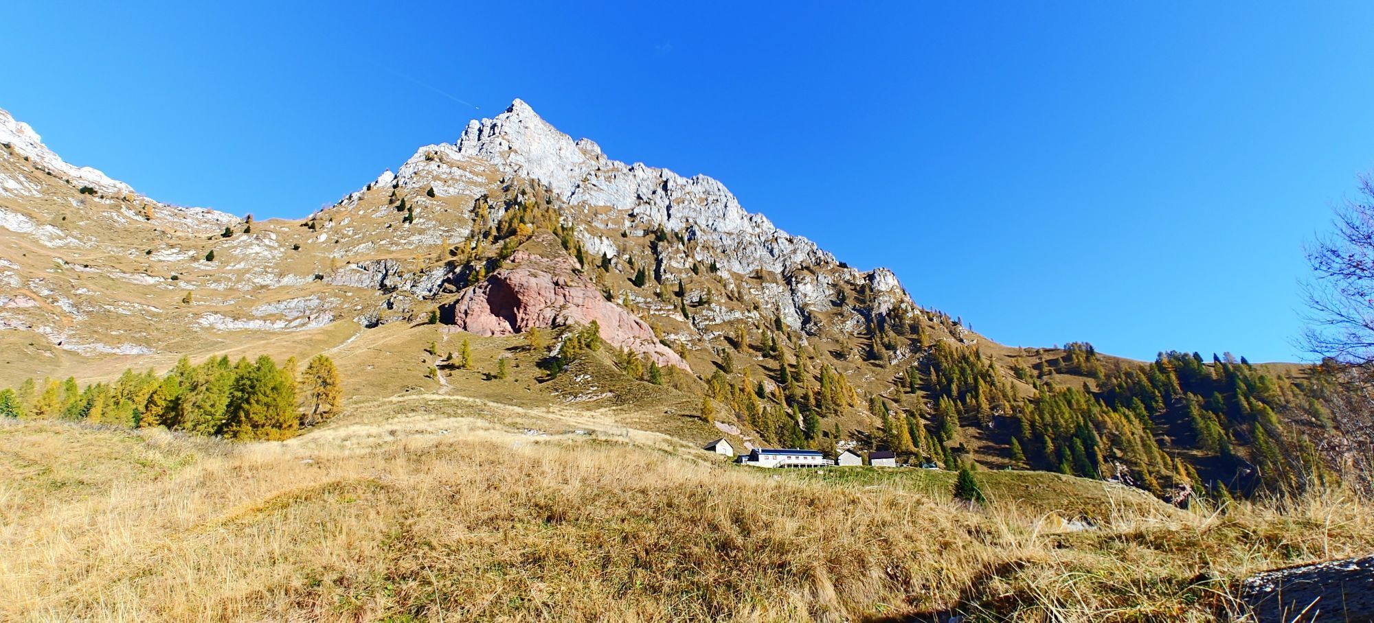
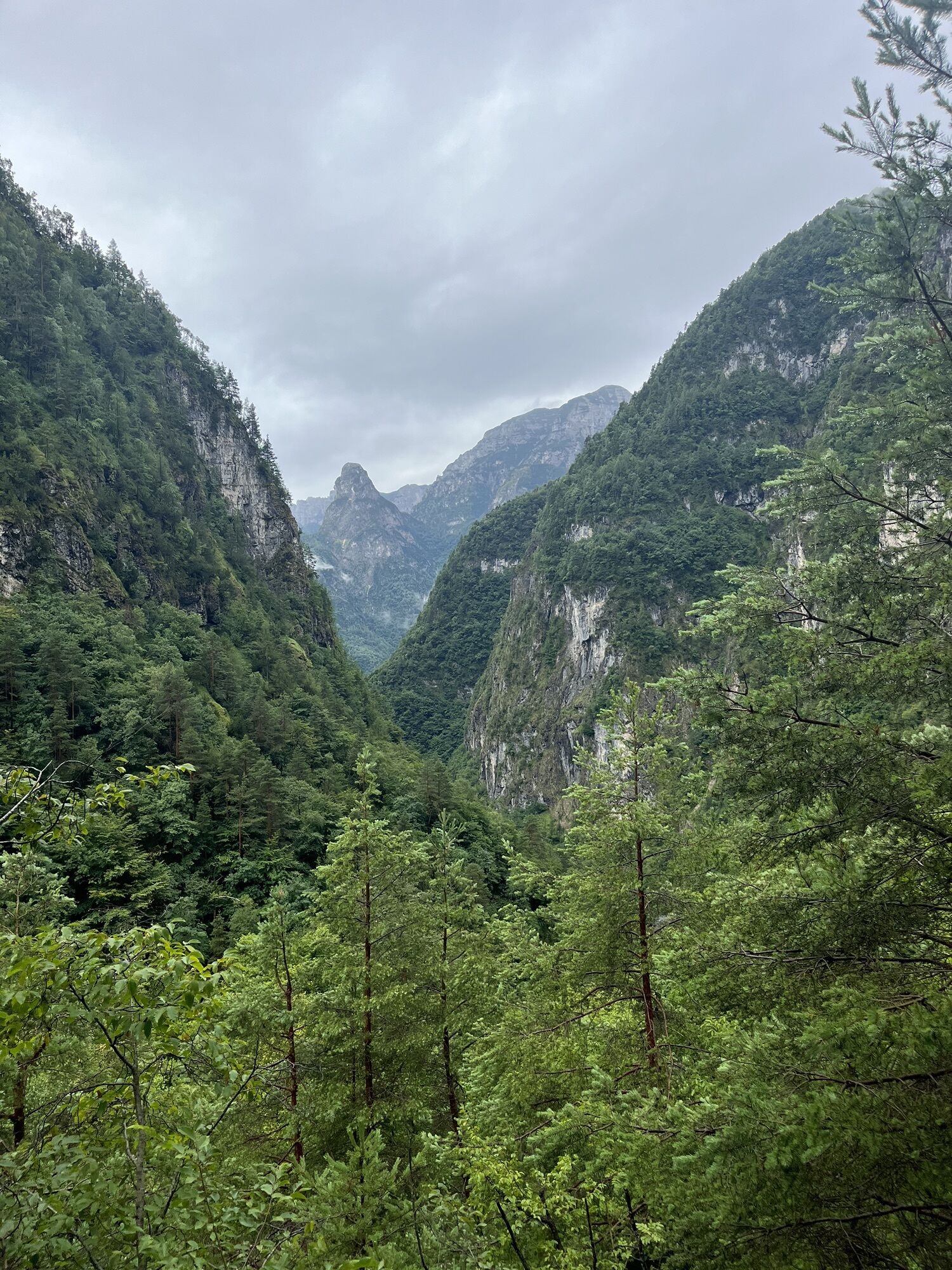
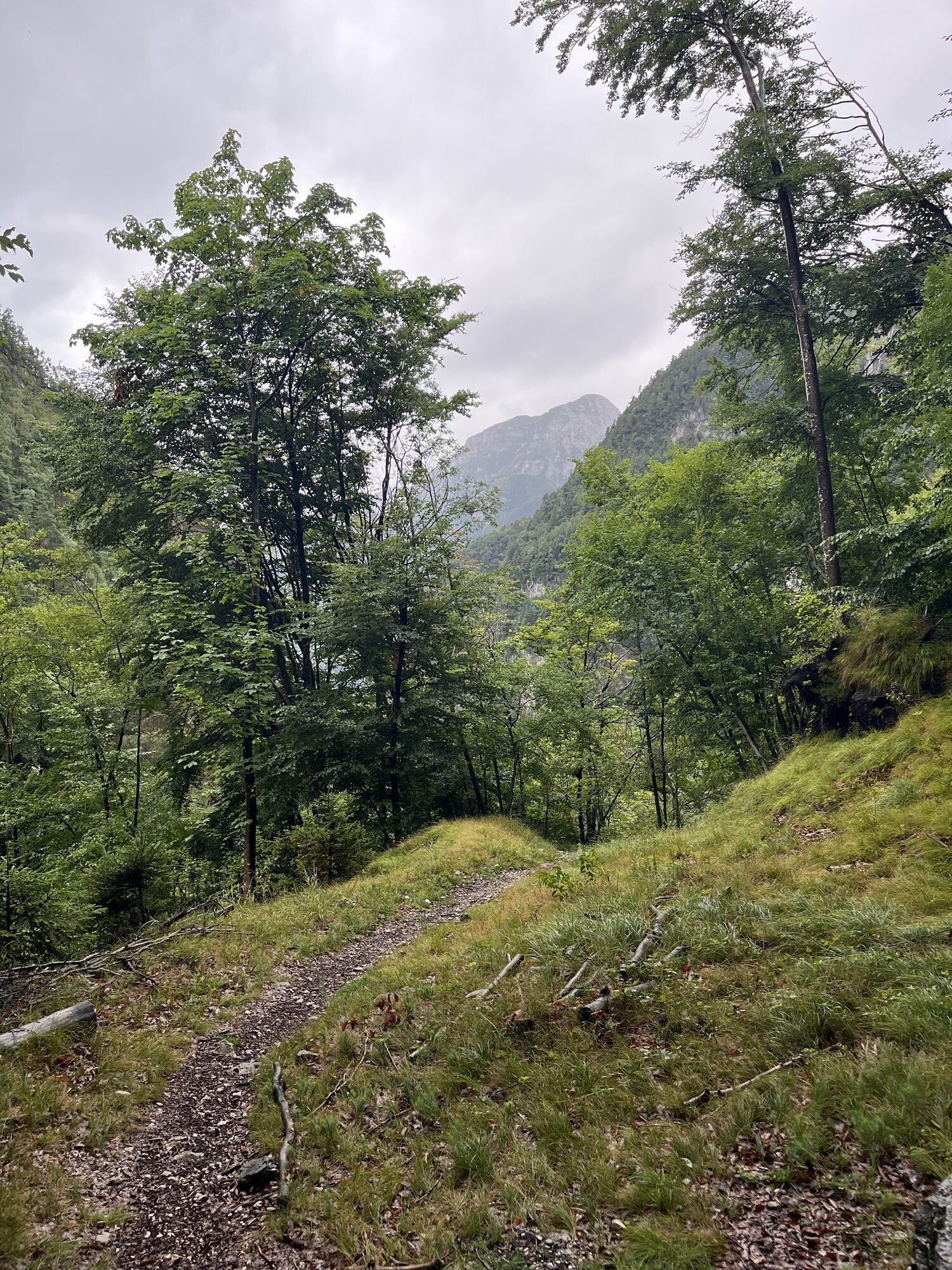
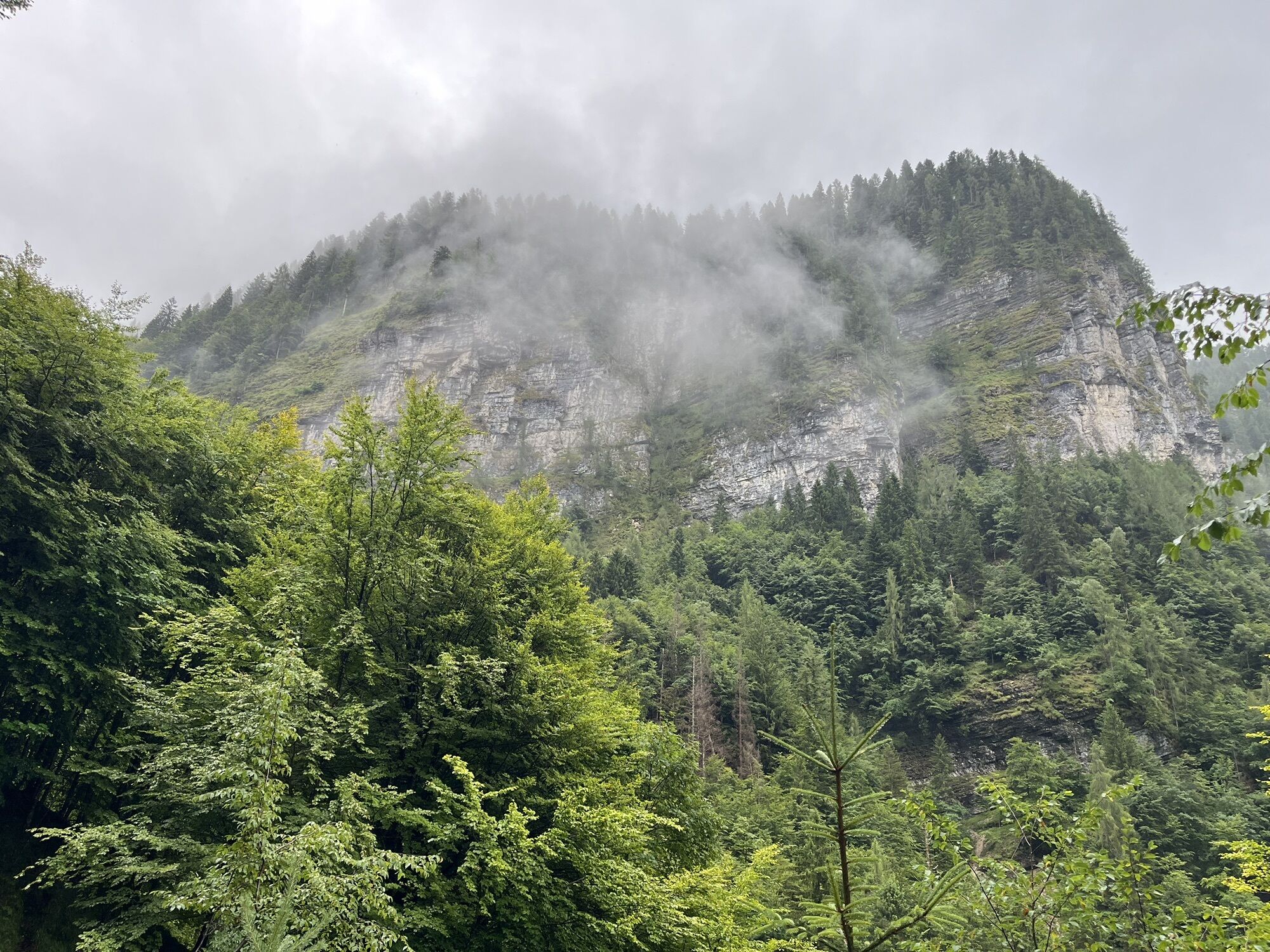
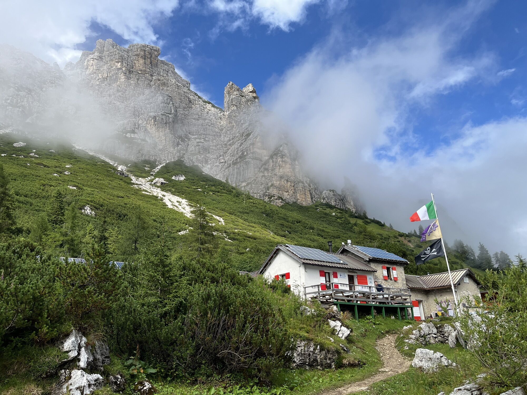
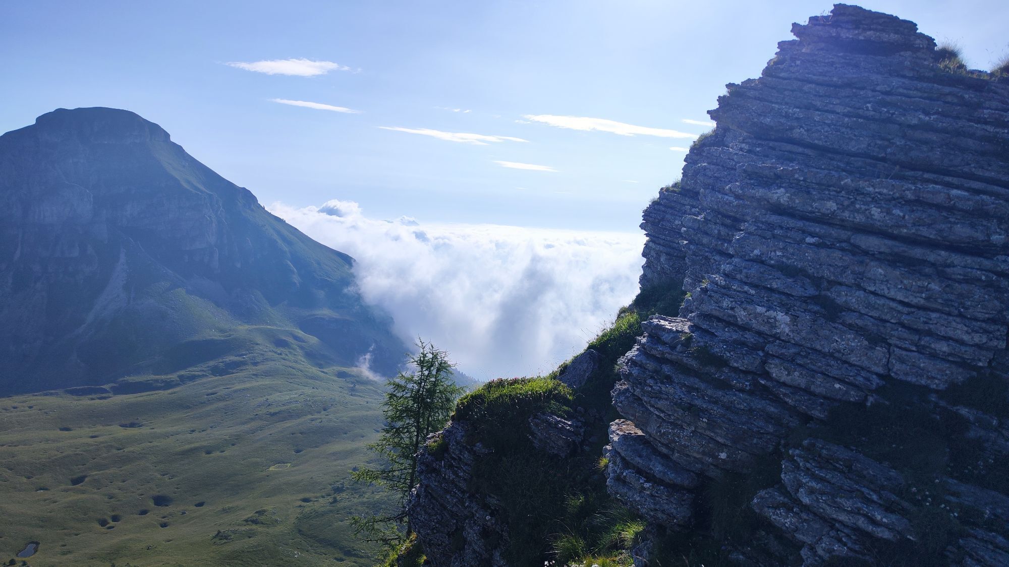
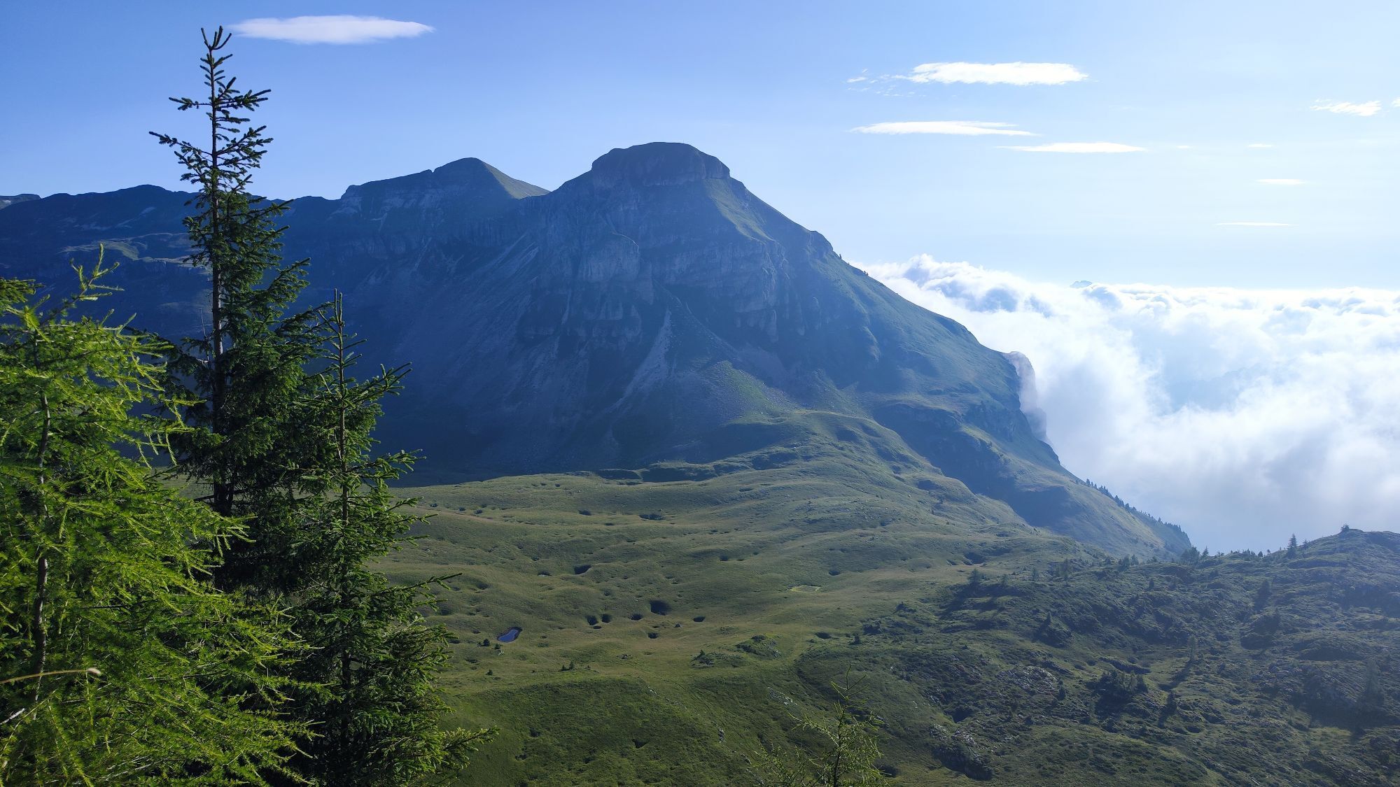
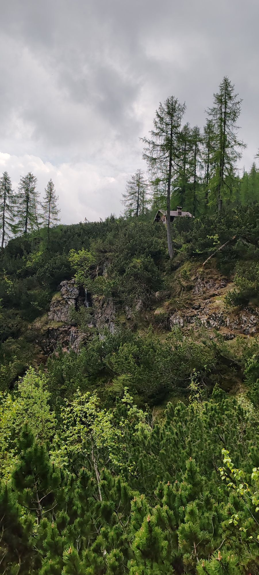
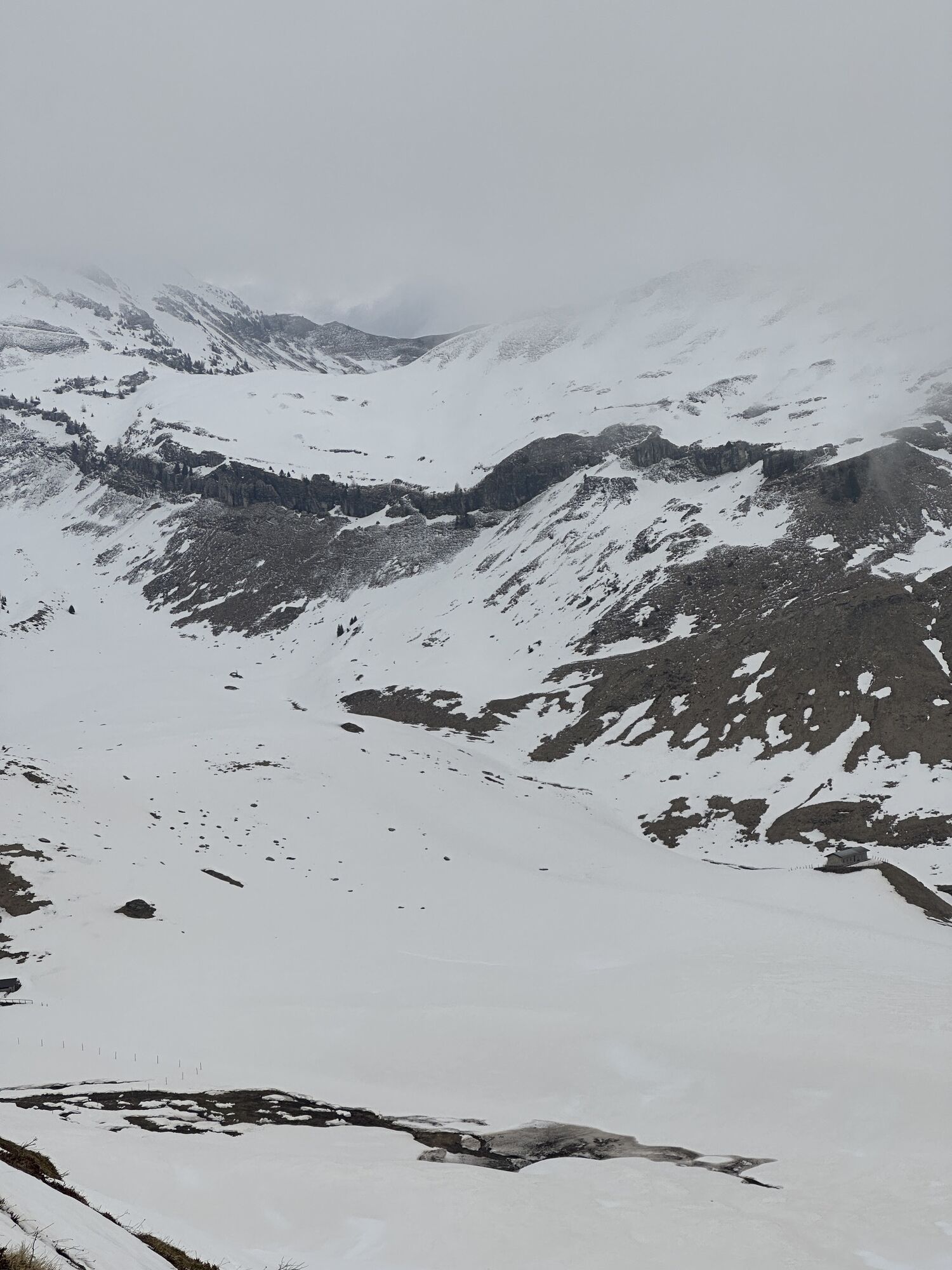
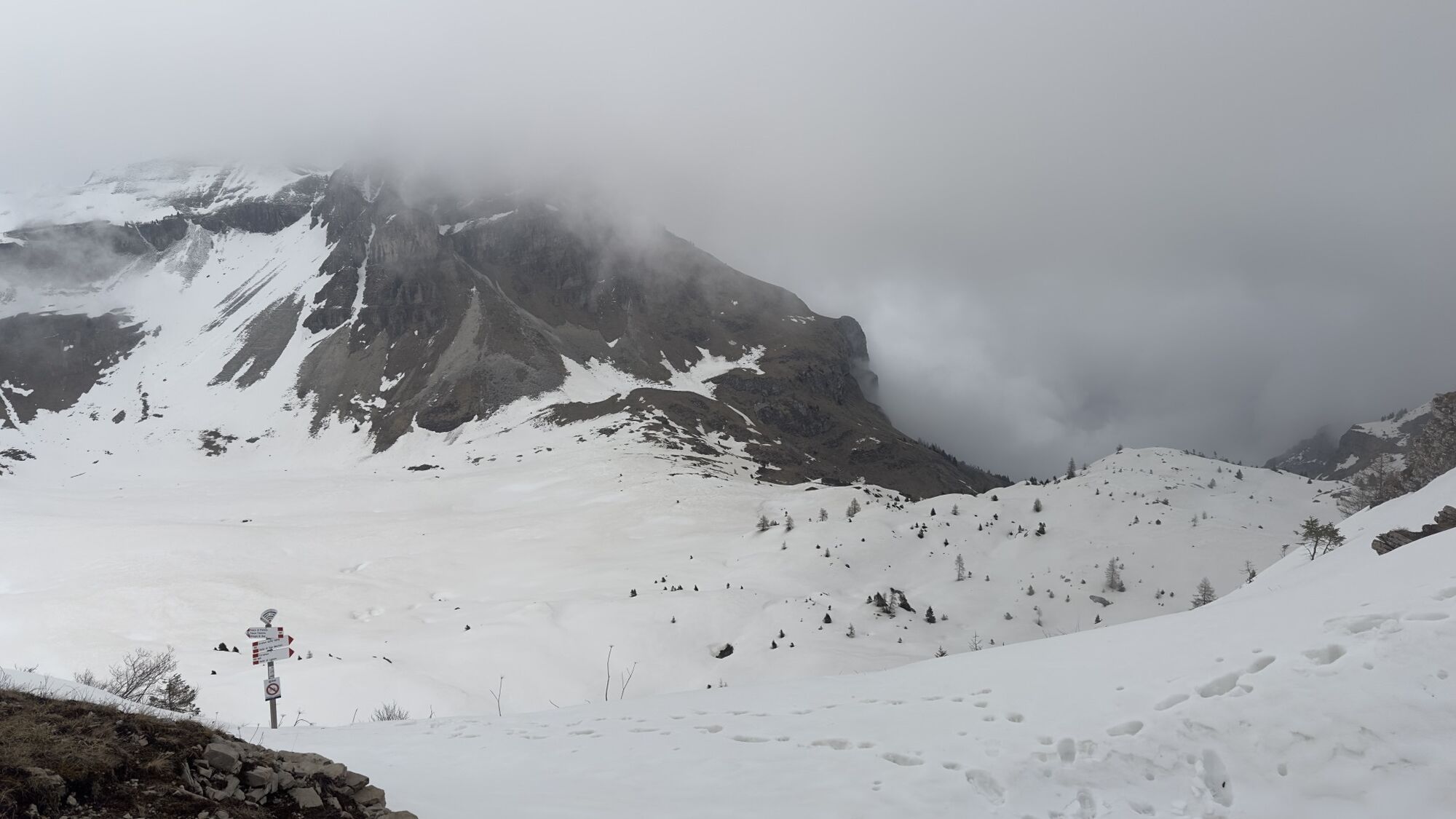
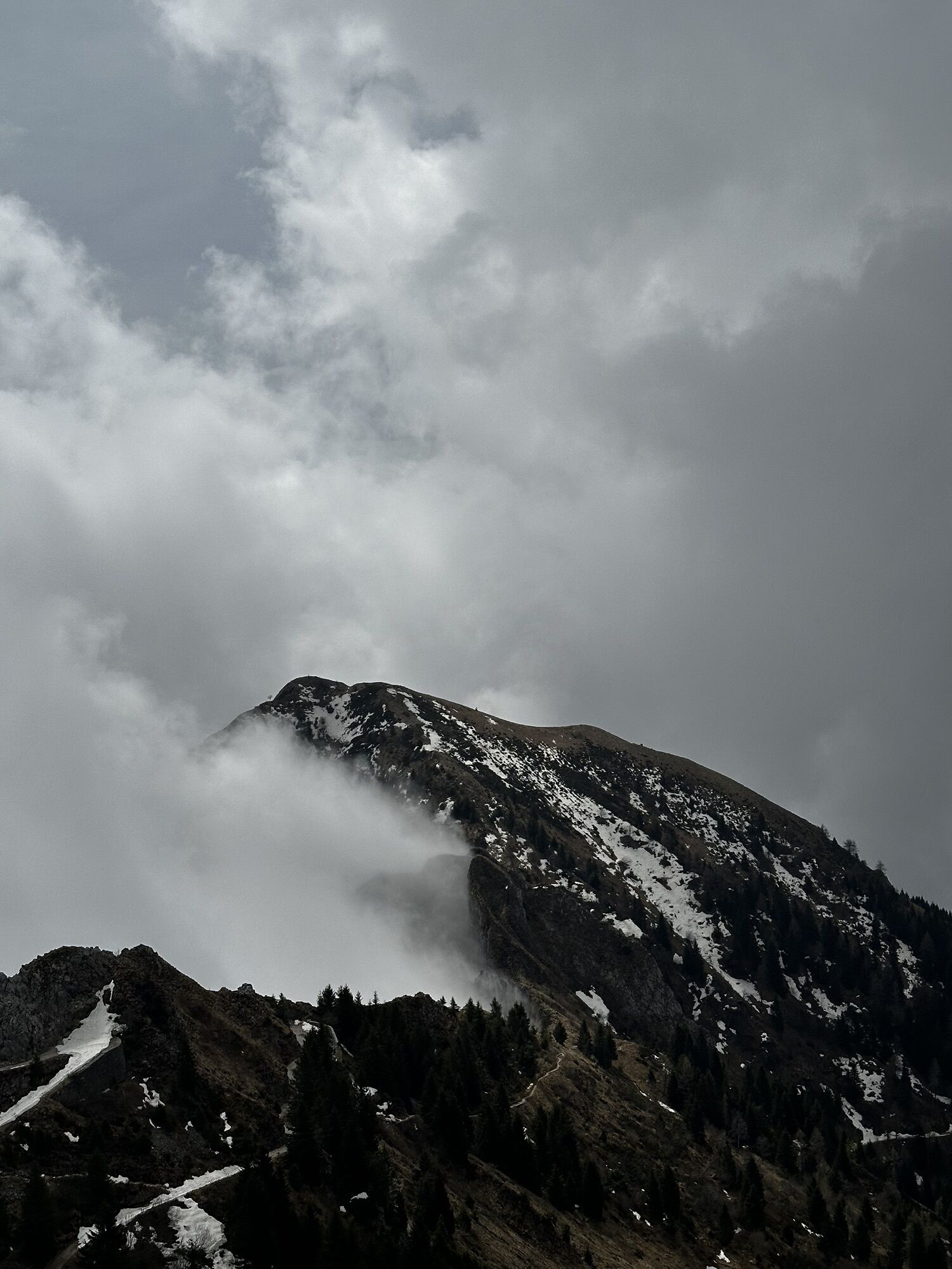
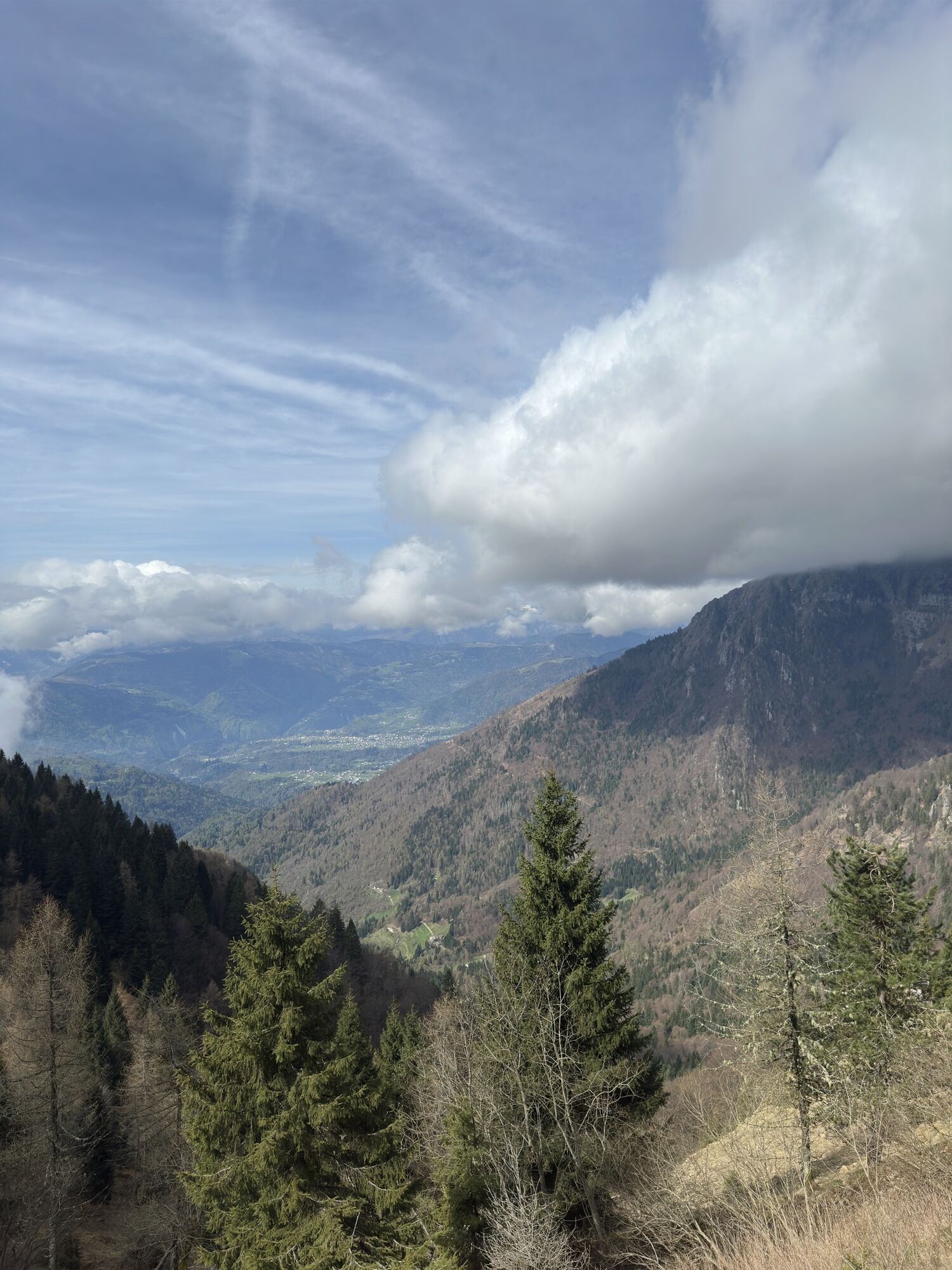
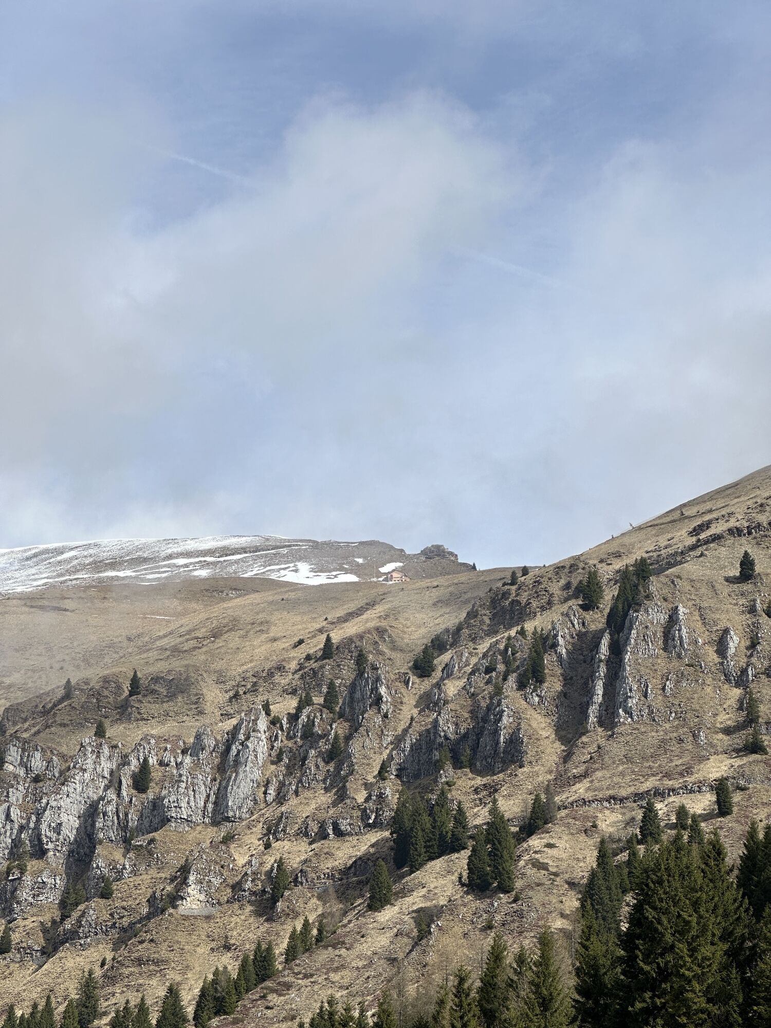
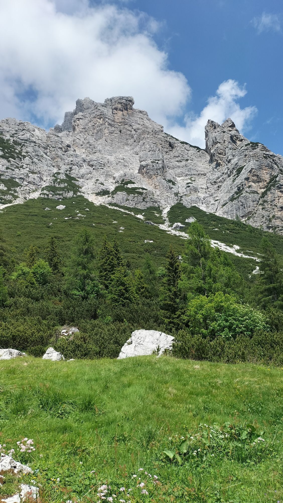
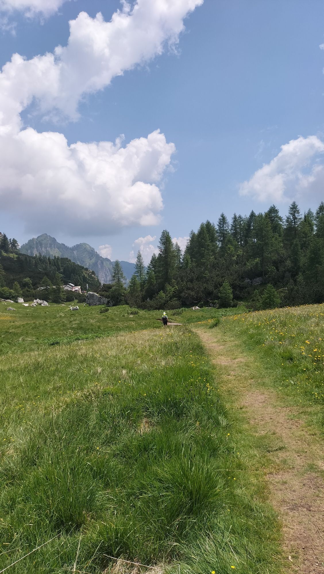
The Alta Via delle Dolomiti Bellunesi is a hiking route made up of 7 stages that completely crosses the Belluno Dolomites National Park. The trail develops in some of the wildest and least frequented corners...
The Alta Via delle Dolomiti Bellunesi is a hiking route made up of 7 stages that completely crosses the Belluno Dolomites National Park. The trail develops in some of the wildest and least frequented corners of the entire Dolomites park, offering an authentic immersion in an intact natural environment. The route presents significant elevation changes, scarce support facilities, refuges that remain as such over time, and exposed sections where experience and sure footing are required.

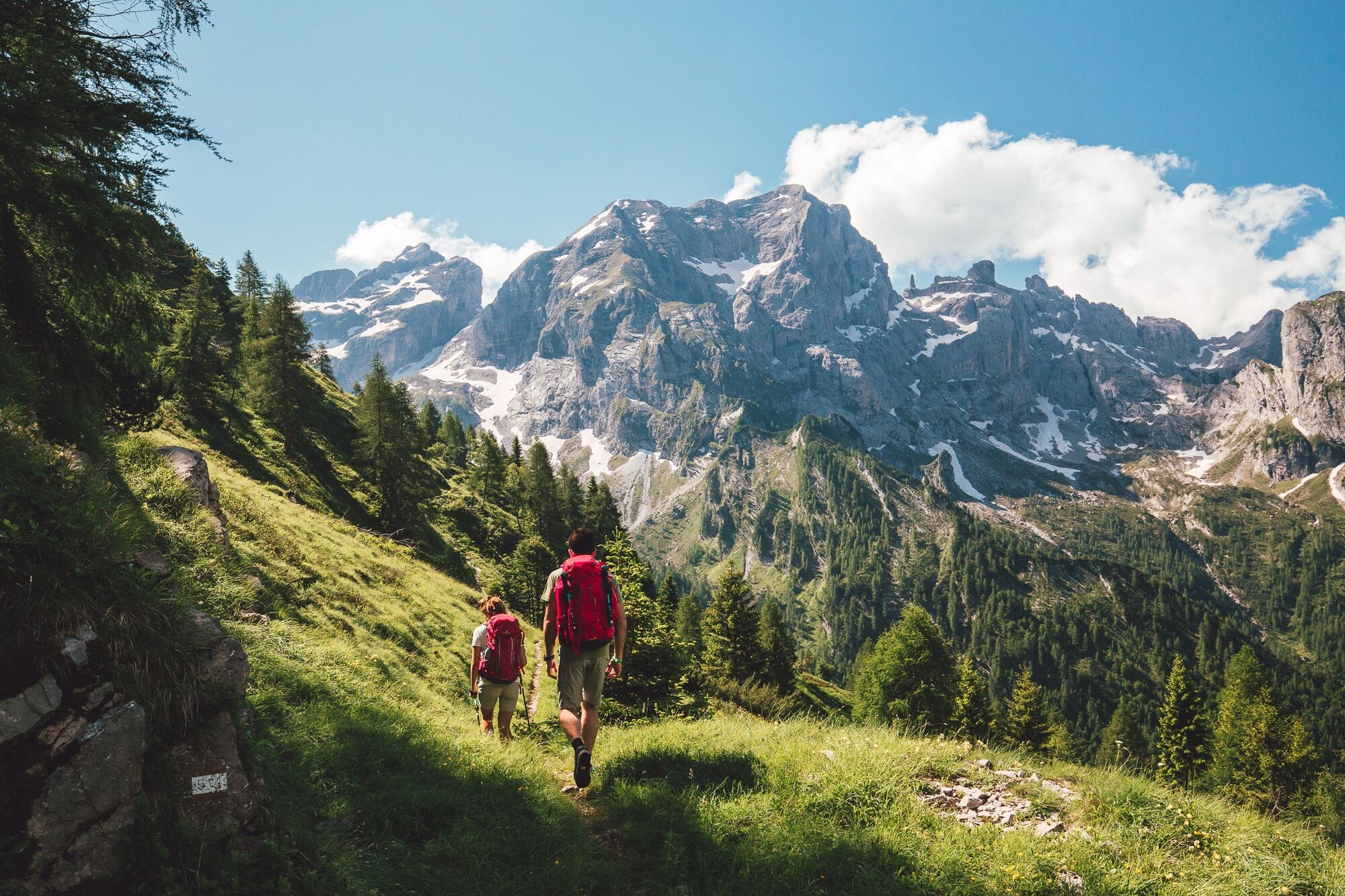
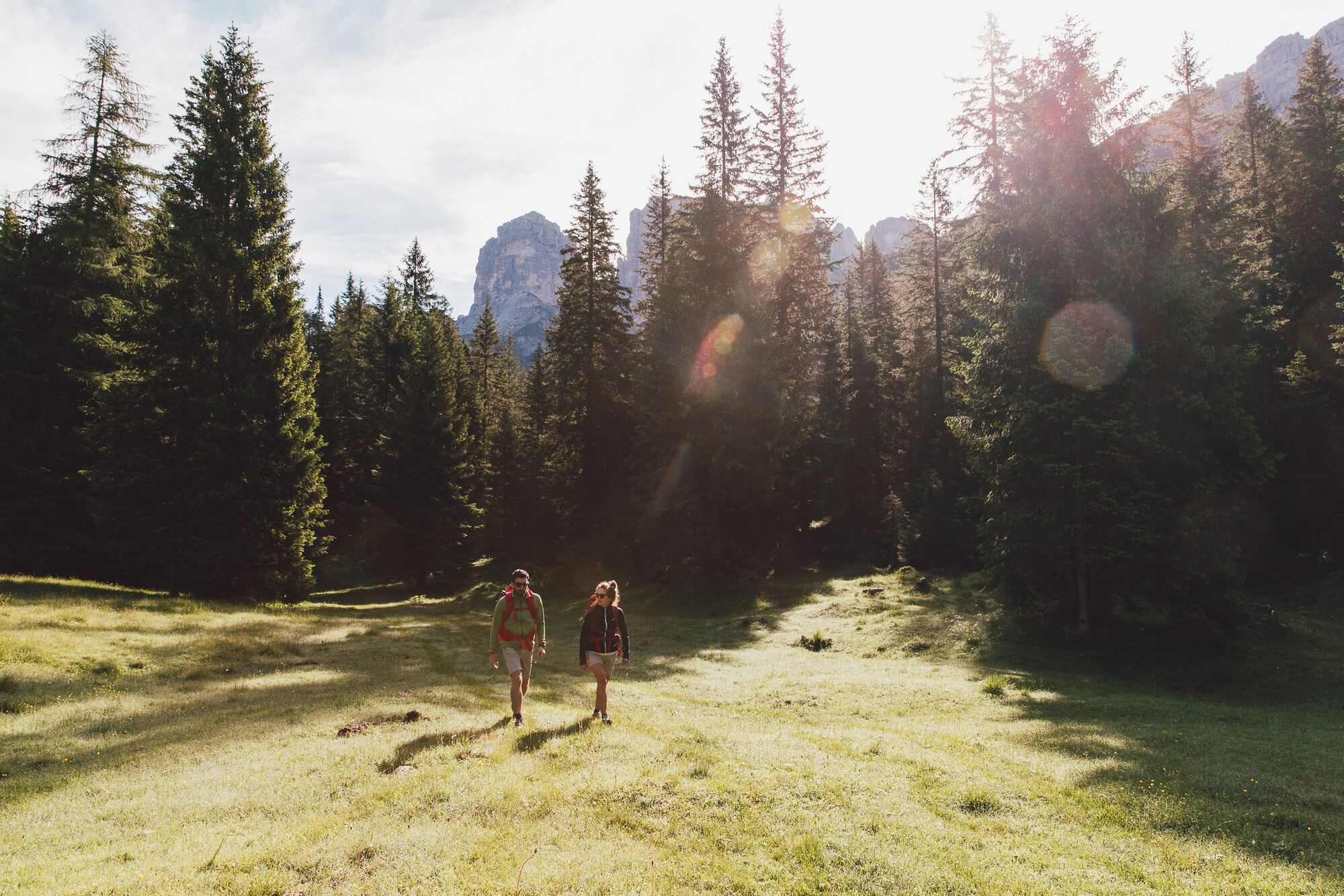
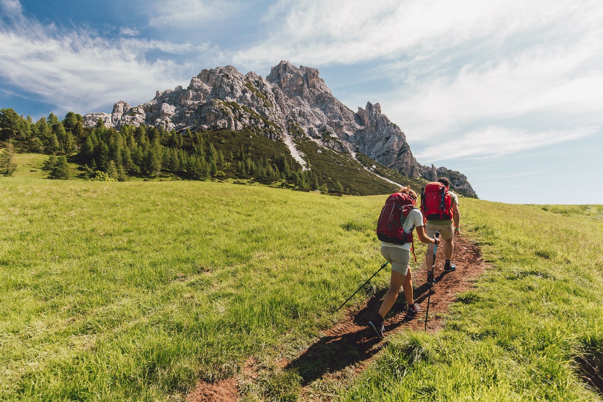
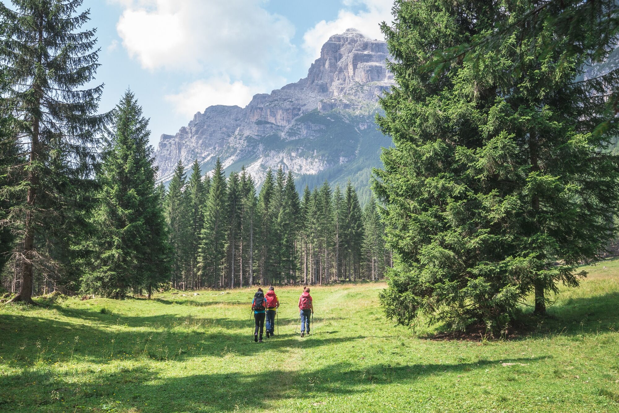
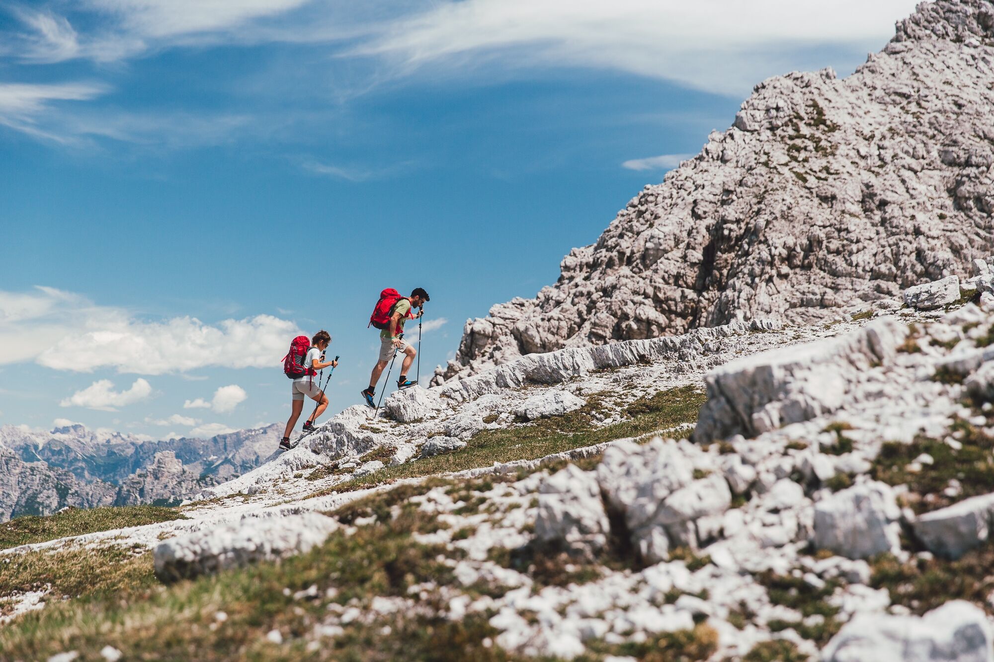
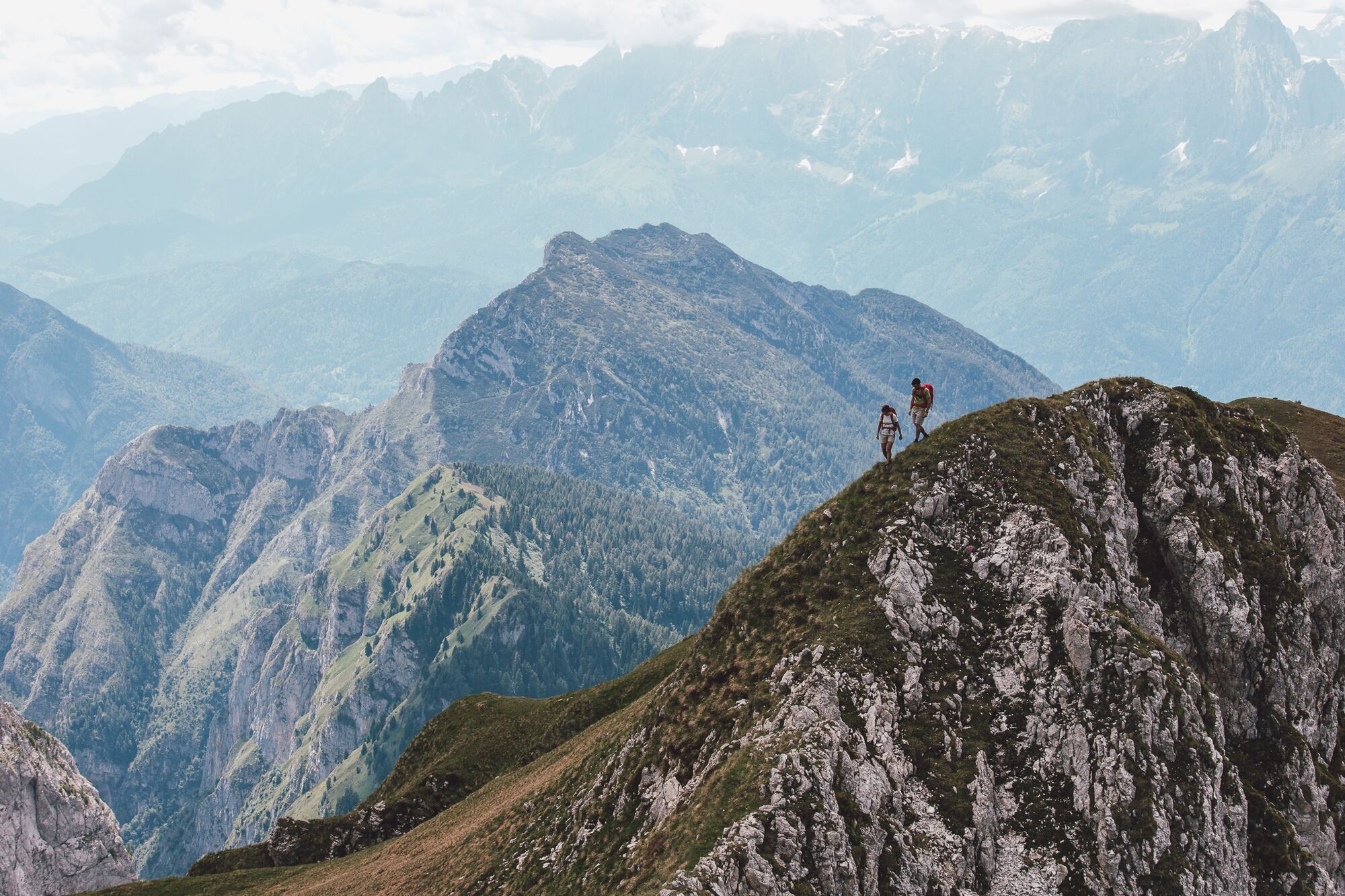
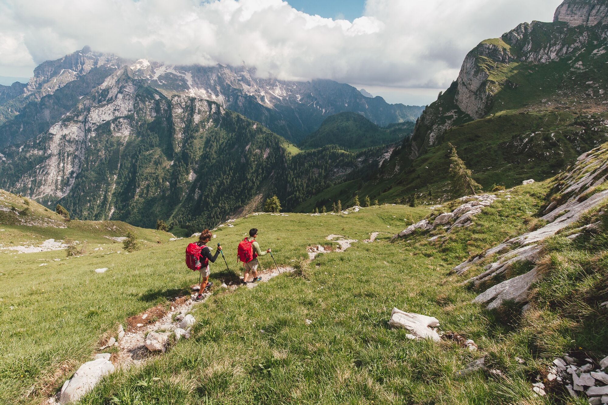
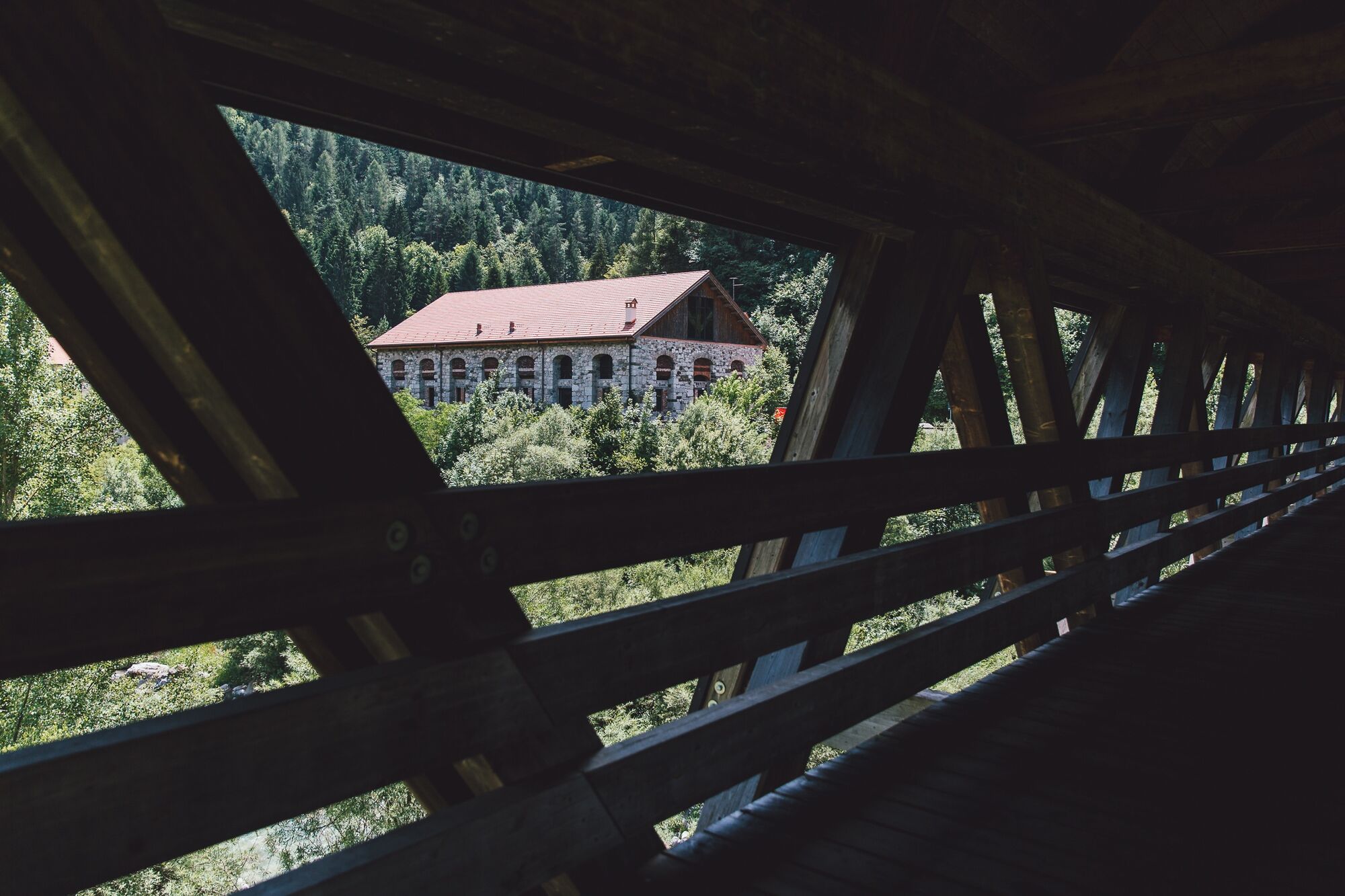
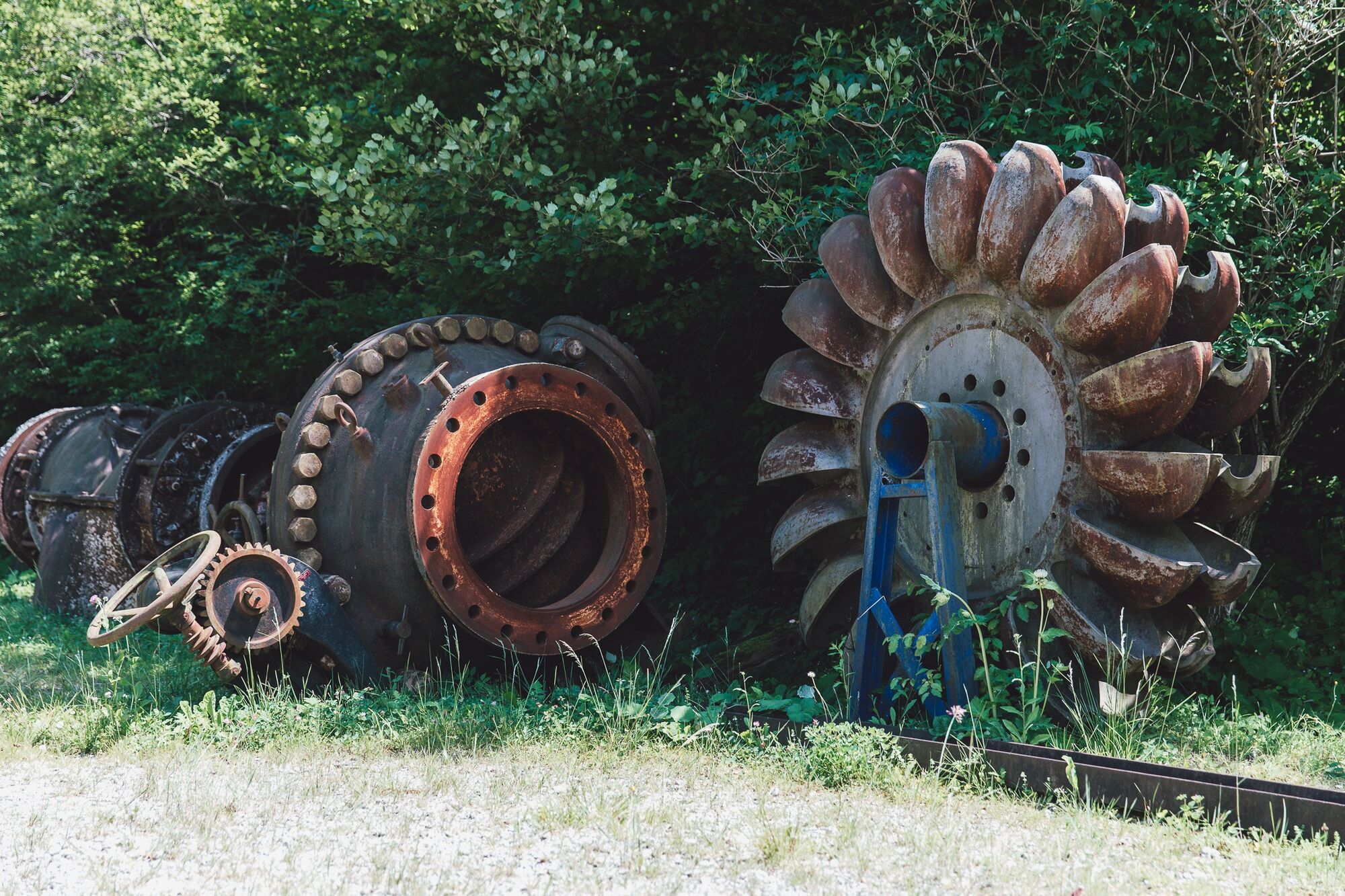
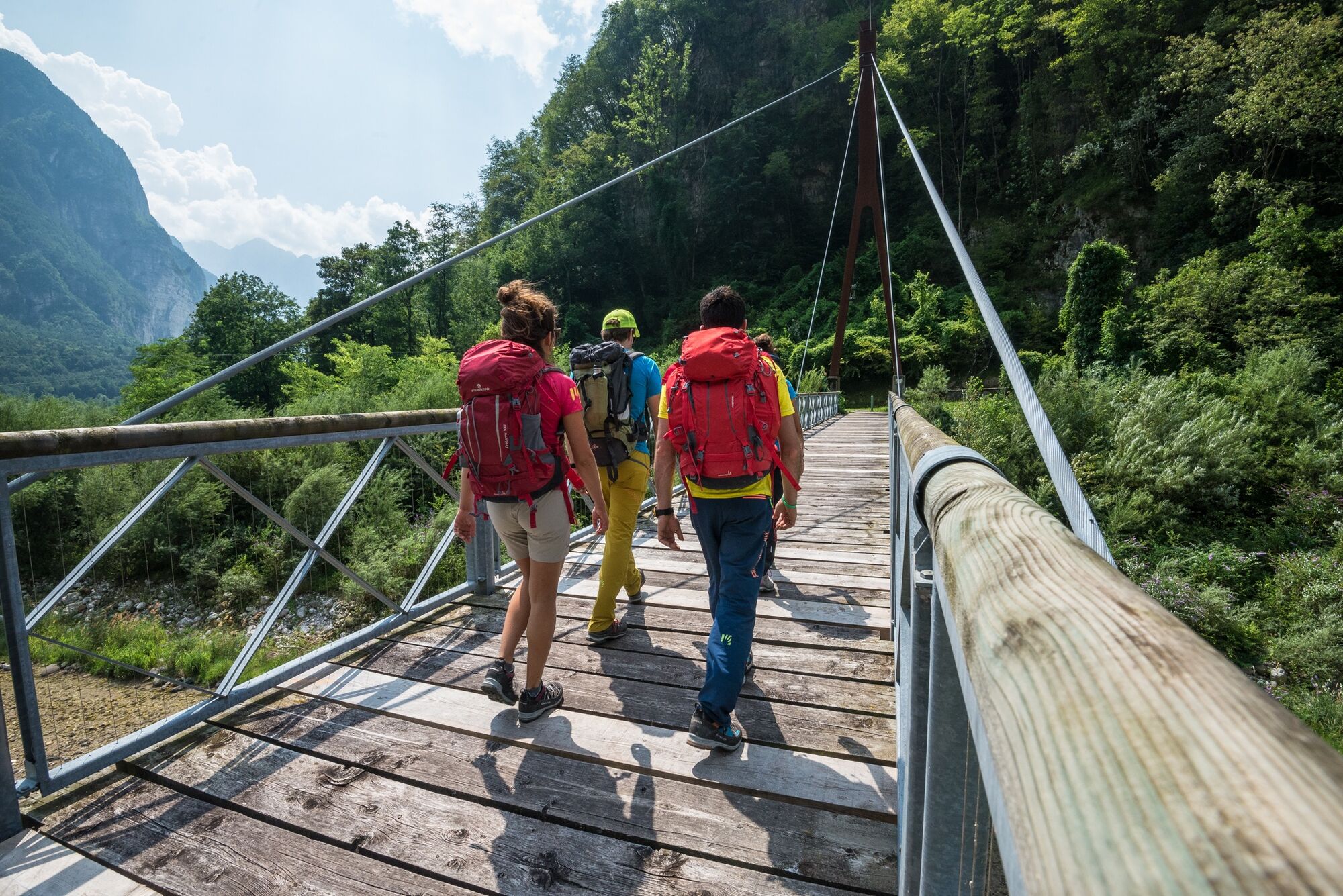
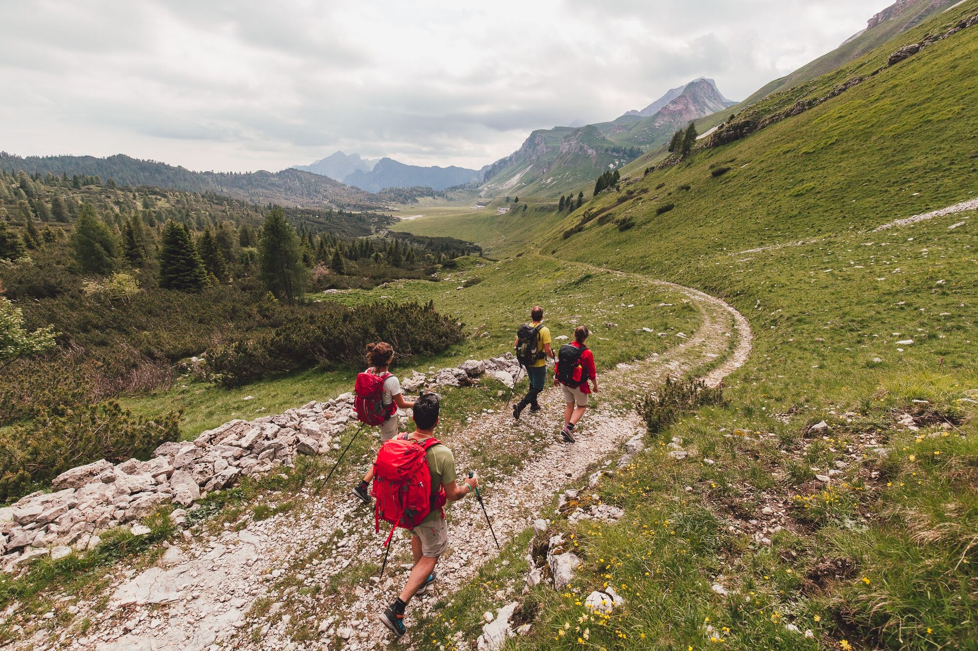
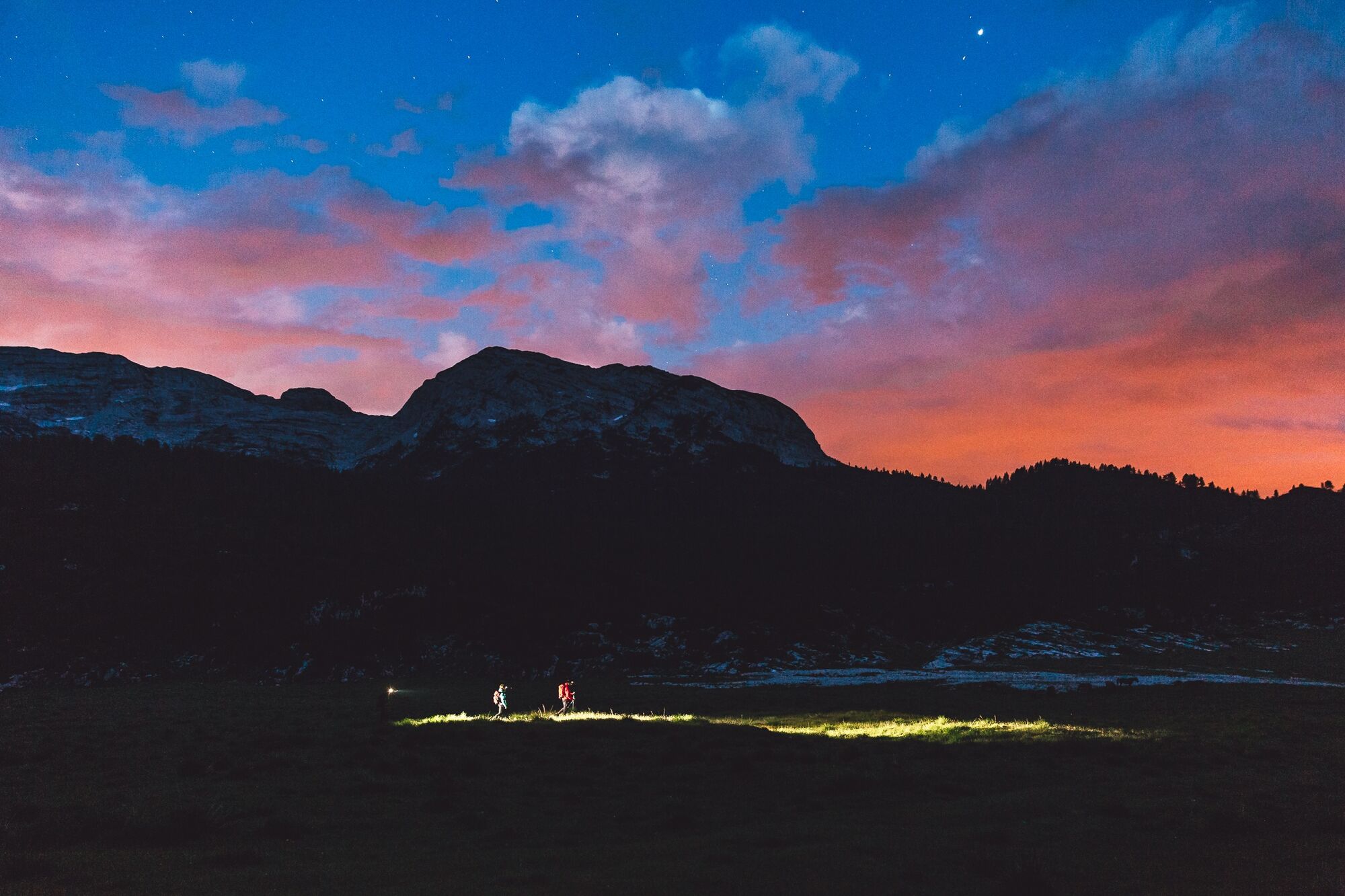
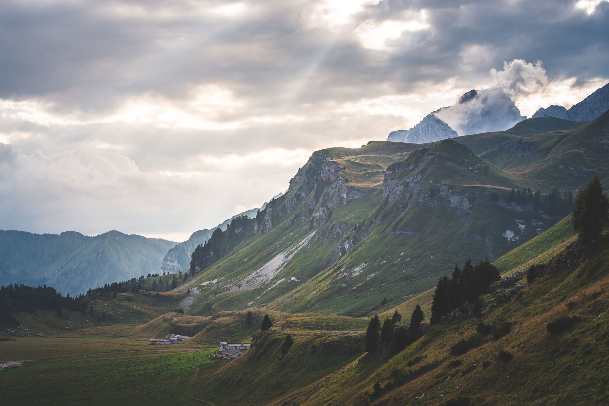
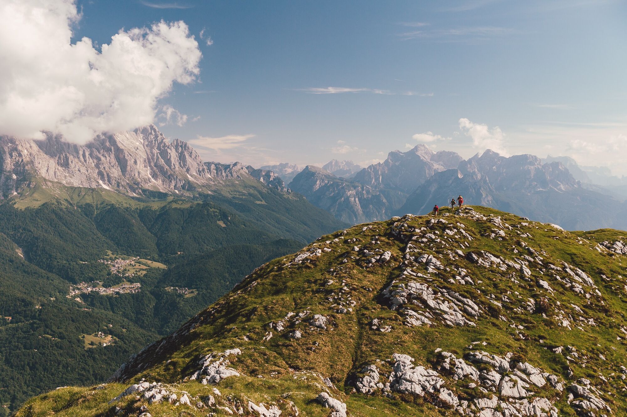
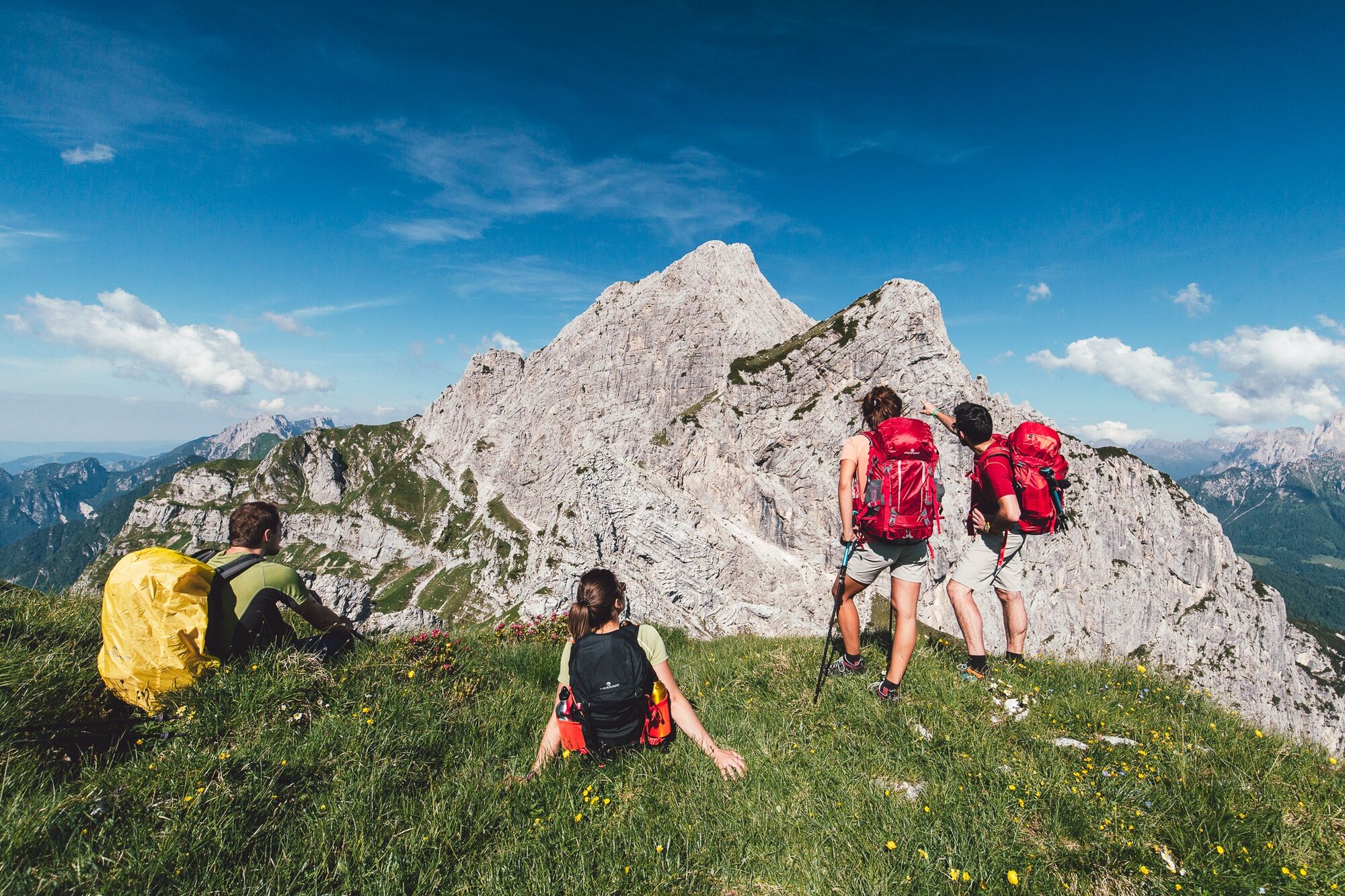
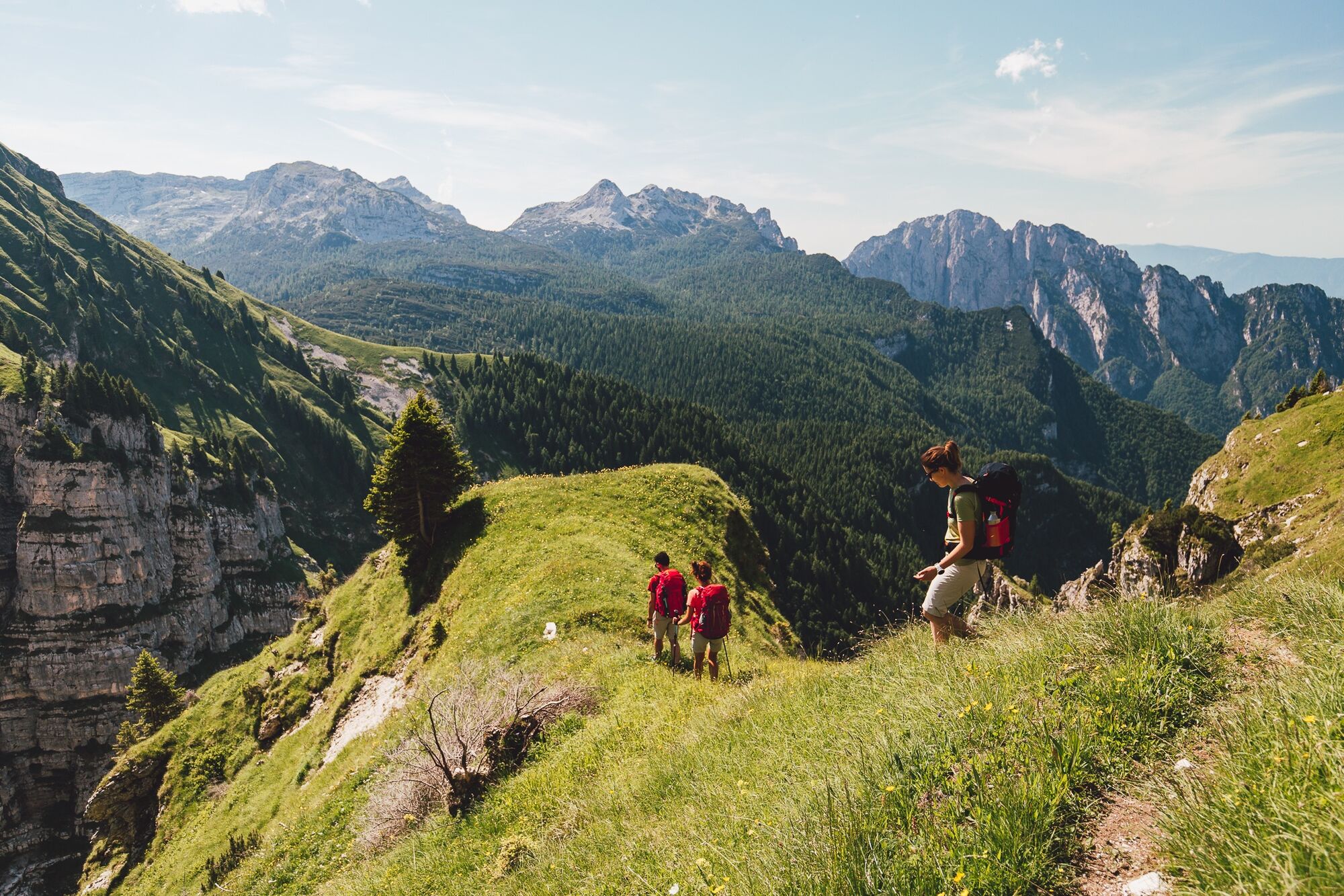
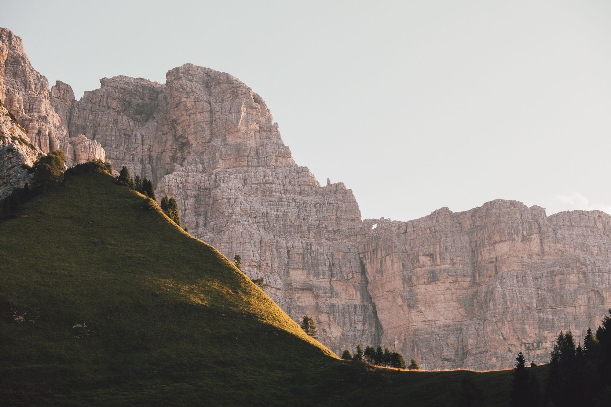
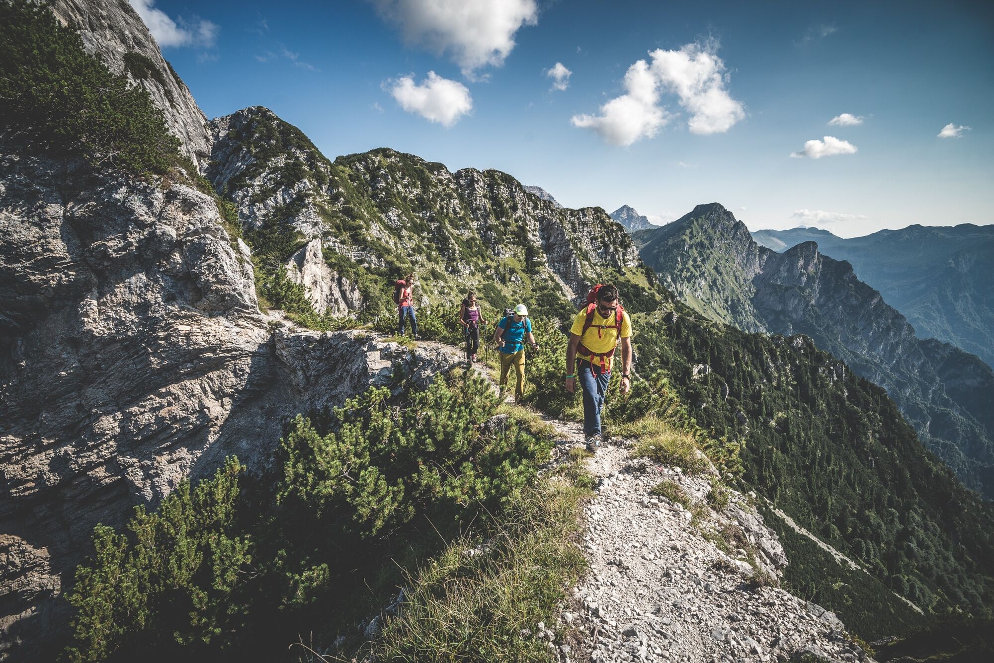
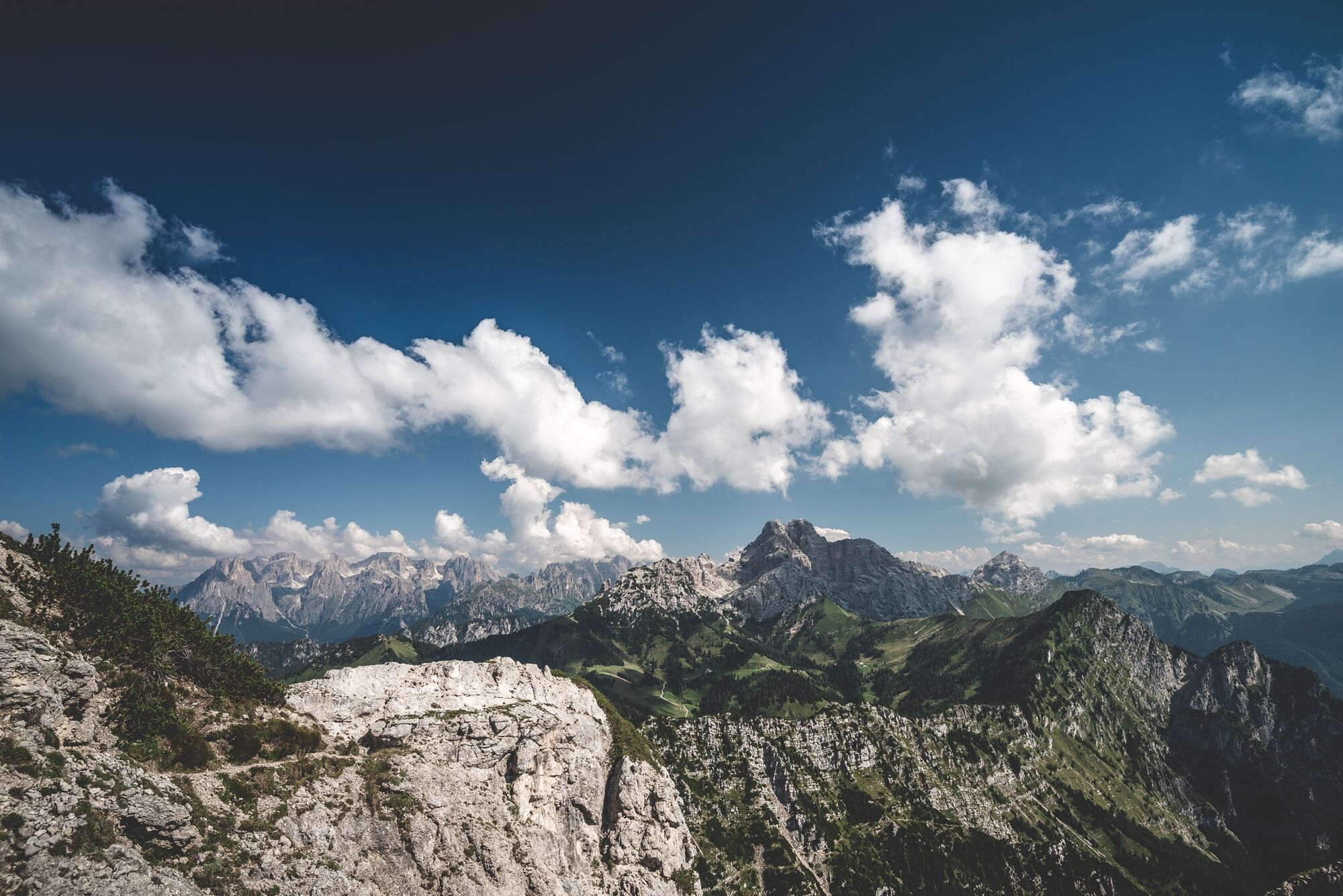

The route starts at Forno di Zoldo and ends at Feltre, crossing the groups of Prampèr-Mezzodì, Schiara, Monti del Sole, Piani Eterni, and Vette Feltrine. It follows CAI trails, with some variants on thematic paths of the Park. The signage, marked by a purple bellflower at key points, may not always be continuous: therefore, a good orientation ability is essential, especially in the more isolated sections.
Stage 1 Forno di Zoldo - Rifugio Pramperet (4:00 h - 9.3 km)
From Forno di Zoldo take the road of Val Prampèr to Malga Prampèr, then follow CAI trail 523 to Rifugio Pramperét.
Stage 2 Rifugio Pramperet - Rifugio Bianchet (7:00 h - 11 km)
From Rifugio Pramperét to Rifugio Bianchet via trails 514 and 518, passing through Van de Zità and Val Vescovà; snow possible until June.
Stage 3 Rifugio Bianchet - Miniere Val Imperina (7:00 h - 19.6 km)
From Rifugio Bianchet descend in 2 hours to Pinei, then follow SR203 for 1.2 km, cross the Cordevole and continue via trails 541/541a to the Valle Imperina hostel.
Stage 4 Miniere Val Imperina - Erera Brendol (7:45 h - 18.5 km)
From the Valle Imperina mining complex climb to Forcella Franche (1833 m), descend to Titele, then follow trail 802 to Forcella Pelse (1847 m) and Malga Erera Brendol.
Stage 5 Erera Brendol - Rifugio Boz (7:00 h - 12.7 km)
From the Piani Eterni plateau descend via trail 802 (Porzil variant), cross the Caorame stream, climb to Malga Alvis (811) and reach Rifugio Boz.
Stage 6 Rifugio Boz - Rifugio Dal Piaz (7:30 h - 13.2 km)
From Rifugio Boz follow trail 801 to Passo Finestra, then climb to Monte Zoccarè Alto and Sasso Scàrnia, cross the Integral Reserve to Rifugio Giorgio dal Piaz.
Stage 7 Rifugio dal Piaz - Feltre (7:00 h - 17.3 km)
From Rifugio Dal Piàz descend via trail 801 with shortcuts, cross Croce d’Aune, continue towards Norcen and reach Pedavena; from there, transport or cycle paths to Feltre.
Facing the Alta Via requires equipment suitable for high mountain. Trekking boots, telescopic poles, layered technical clothing, a rain shell, gloves, and a hat are essential even in summer.
Carry a sheet sleeping bag (mandatory in refuges), a first aid kit, sunglasses, sunscreen, power bank, headlamp with spare batteries, and a good map, supplemented by offline GPS apps.
Finally, a repellent spray and tweezers for ticks, increasingly common at altitude, are recommended.
The Alta Via Dolomiti Bellunesi is a challenging trek, suitable only for experienced and well-trained hikers. The route includes exposed sections, technical passages and requires a surefooted step, absence of vertigo, and navigation skills, especially in the more isolated sections.
The signage (a purple bellflower) is present at key points but not always continuous: knowing how to orient oneself with a map and GPS is essential. There are two equipped sections with fixed ropes (stage 2 and stage 5), the latter not recommended for those suffering from vertigo.
Wild camping is not allowed: tent use is regulated and possible only with authorization at some refuges. It is recommended to contact accommodations in advance to check availability and book.
Reaching Forno di Zoldo, the starting point of the Alta Via Dolomiti Bellunesi, is quite simple.
The position of Val di Zoldo is strategic halfway between Cortina, the Tre Cime di Lavaredo, and Venice, allowing interesting detours from trekking to see the riches of this part of Northern Italy.
By car: with motorway A27 (Venice–Belluno) to the end of the motorway. Continue on the State Road 51 of Alemagna until Longarone (7 km) and from there – to the left – follow signs to Forno di Zoldo; ascend Val di Zoldo and arrive at Forno di Zoldo (16 km from Longarone).
From the north from the A22 Brenner motorway exit at Bressanone, take State Road 49 towards Brunico/Dobbiaco; at San Lorenzo di Sebato (24 km) turn right towards Val Badia, continue to Arabba and follow signs to Selva di Cadore – Forno di Zoldo (48 km).
By train: The nearest railway stations are Longarone-Zoldo (about 20 km from Forno di Zoldo) and Belluno. From both, it is possible to continue by buses of the DolomitiBus company to reach Forno di Zoldo.
By bus: From Belluno bus station (located opposite the train station), several line buses of DolomitiBus depart reaching Val di Zoldo in about an hour. For some runs, the Dolomitibus service is not active on weekends. In the Province of Belluno a private line of Cortina Express also operates, but it does not directly serve Val di Zoldo.
By plane: The nearest international airports are Treviso and Venice - Marco Polo. From there, you can reach Treviso or Venezia Mestre railway stations and continue by train to Longarone or Belluno, then use local buses.
T3
The recommended period to walk the Alta Via is from May to September, avoiding days with snow risk or following heavy rains. Given the exposure and length of the route, it is important to start light but well equipped.
Follow the “rule of 3 changes”: one to wear, one clean in the backpack, and one drying. Refuges and bivouacs are found along the route, but it is essential to organize in advance, especially during peak seasons.
For updated information on stages and GPS tracks consult the official Alta Via Dolomiti Bellunesi website, which also provides a direct contact email.
This route crosses a still genuine mountain, where mass tourism has not arrived. Alpine huts, passionately managed refuges, and wild environments are the heart of an immersive nature experience.
Along the way, you may encounter many varieties of flora and fauna such as chamois and mouflons, cross historic walls and enjoy lesser-known but spectacular views.
Those interested in more technical ferratas can later consider the Schiara variant. To discover possible thematic variants, route details, or updates on the stages, it is recommended to consult the official website.
Webové kamery z prohlídky
Získejte přehled Vždy živě na místě s více než 9 500 webkamerami. bergfex Jako uživatel Pro si nyní můžete zobrazit odpovídající webové kamery pro mnoho prohlídek v aplikaci prohlídky z. Můžete si tak přímo prohlédnout aktuální podmínky. Oblíbené prohlídky v okolí
- 4.8
Sospirolo, Veneto/Italia
Turistika 6.05 km - 4.6
Vich - Col di Luna - Passo del Col di Luna - Rifugio Scarpa - Gurekian all'Agner
středníTuristika 12.1 km - 5.0
Rifugio Rosetta "Giovanni Pedrotti" - Rifugio Pradidali
středníHorská turistika 12.9 km Moena - San Pellegrino Pass - Cencenighe - Agordo - Forcella Aurine - Cereda Pass - Tonadico - Rolle Pass - Predazzo - Moena
heavySilniční kolo 124.2 kmMezzano - Val Noana - Cordogné
středníTuristika 5.88 kmAVDB - Stage 3: Rif. Bianchet - Miniere Val Imperina
heavyVysokohorská turistika 19.9 km17 Alta via delle Dolomiti Bellunesi
heavyVysokohorská turistika 100 kmAVDB - Stage 6: Rif. Boz - Rif. Dal Piaz
heavyVysokohorská turistika 13.8 km- 4.0
Tonadico - Pian delle Lede - Rifugio Treviso
středníTuristika 8.32 km AVDB - Stage 5: Malga Erera - Val Canzoi – Rif. Boz
heavyVysokohorská turistika 13.1 km
Pěší turistika a stopování


Nenechte si ujít nabídky a inspiraci pro vaši příští dovolenou
Vaše e-mailová adresa byl přidán do poštovního seznamu.





