





Bicycle Bus/FahrradBUS Tour: Over Bohemian Rocky Peaks to the Elbe River


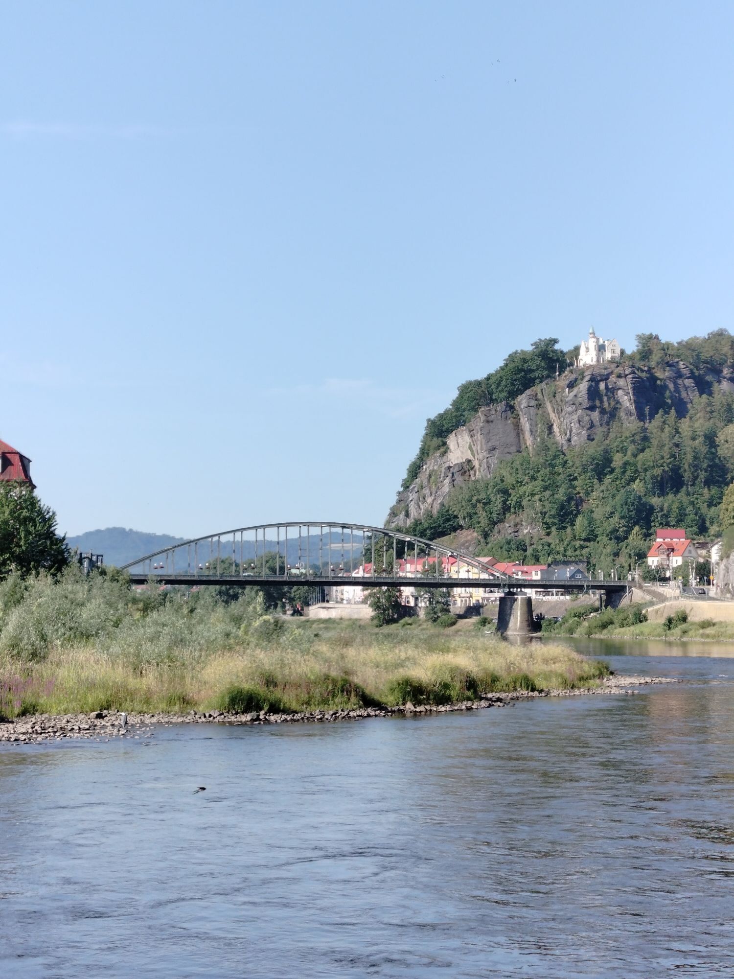
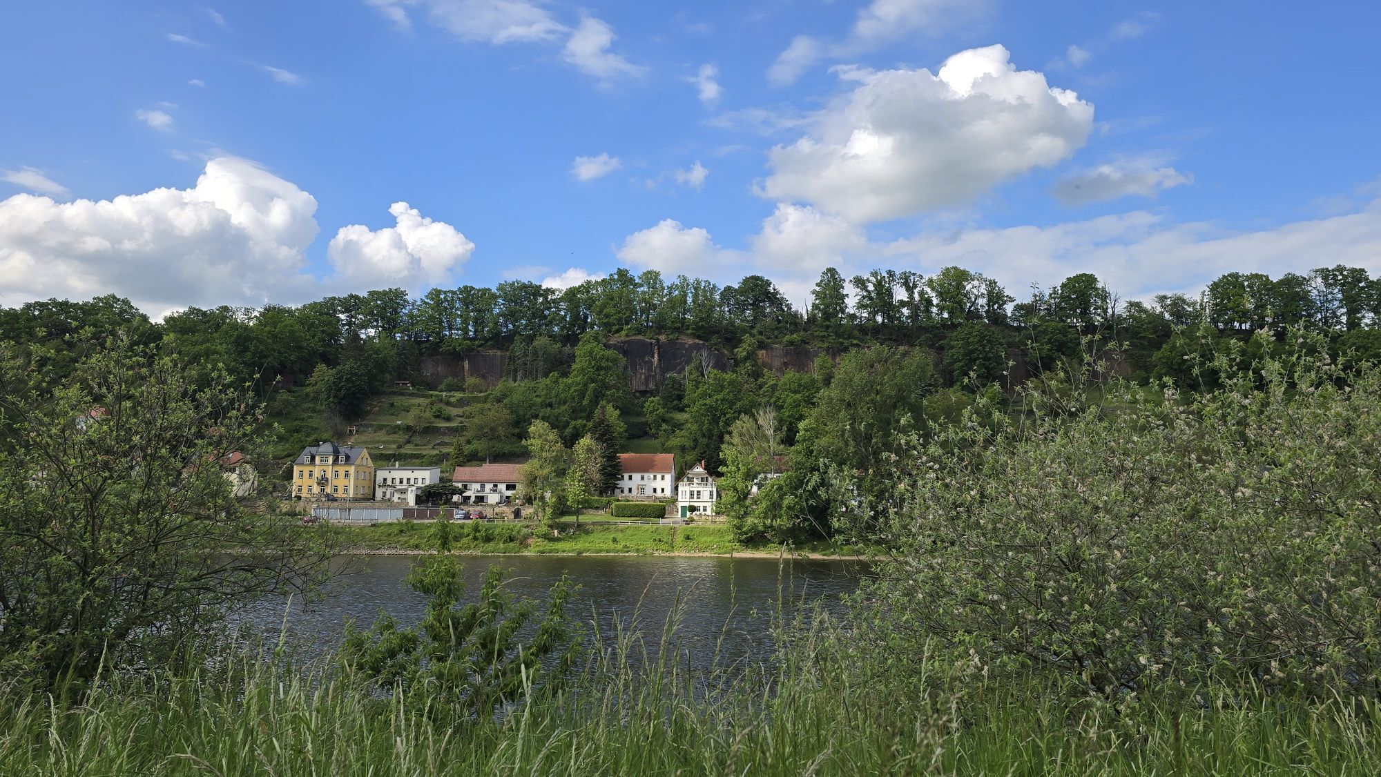
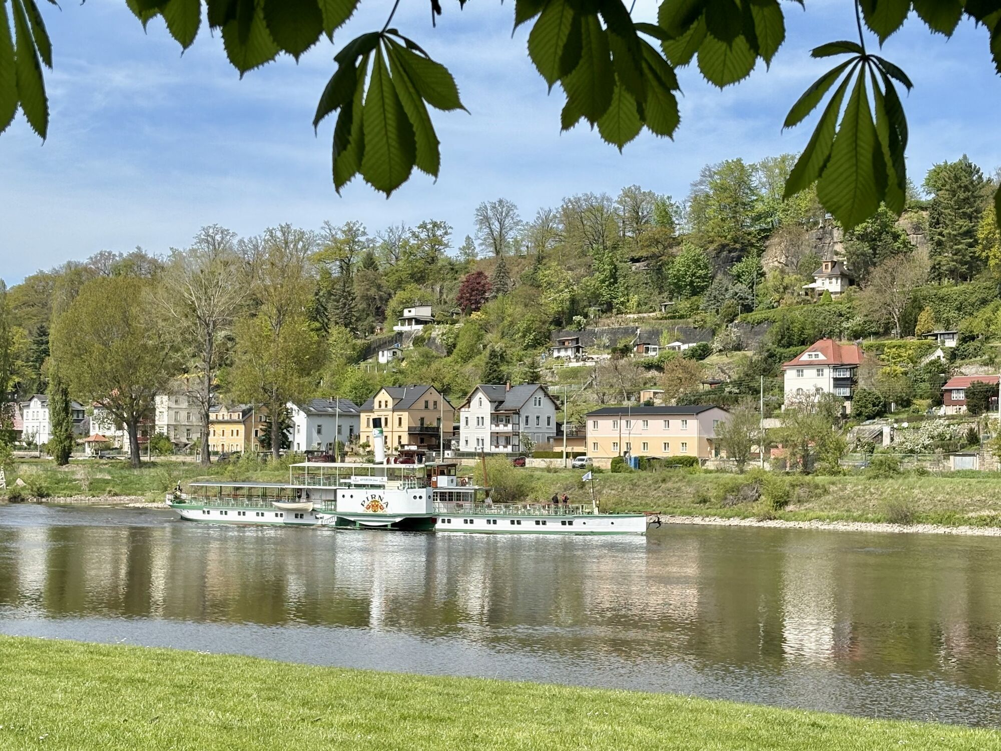
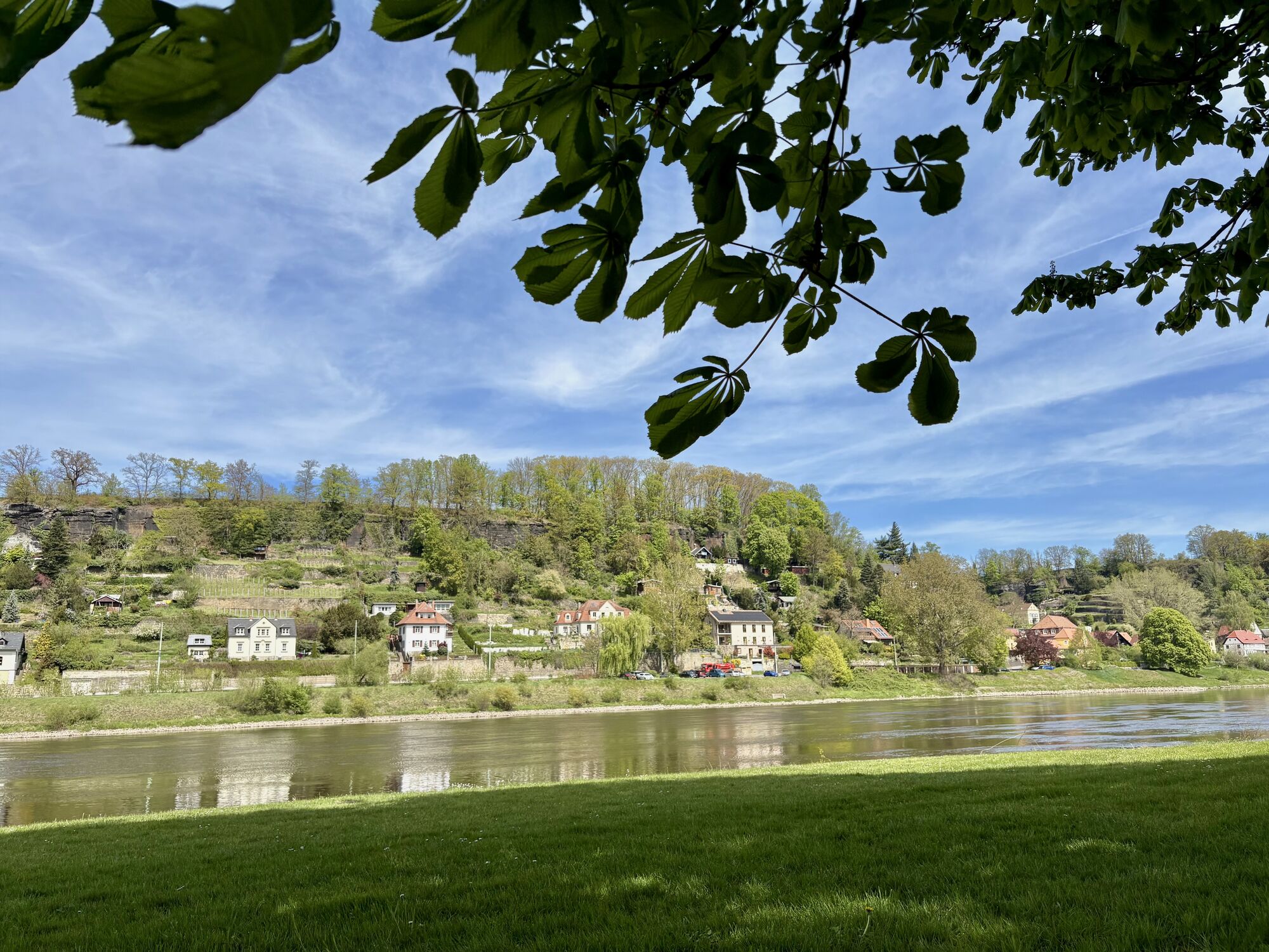
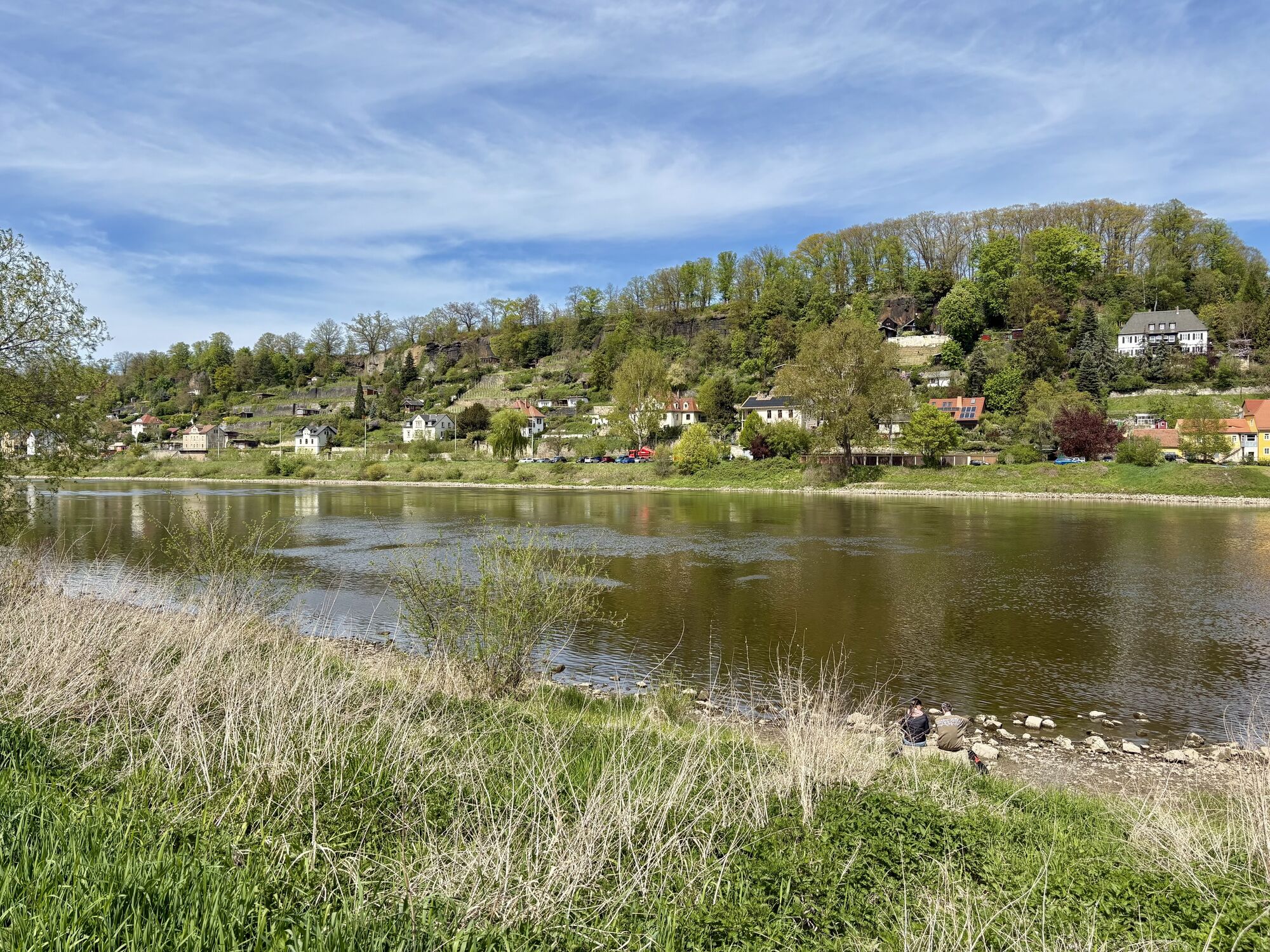
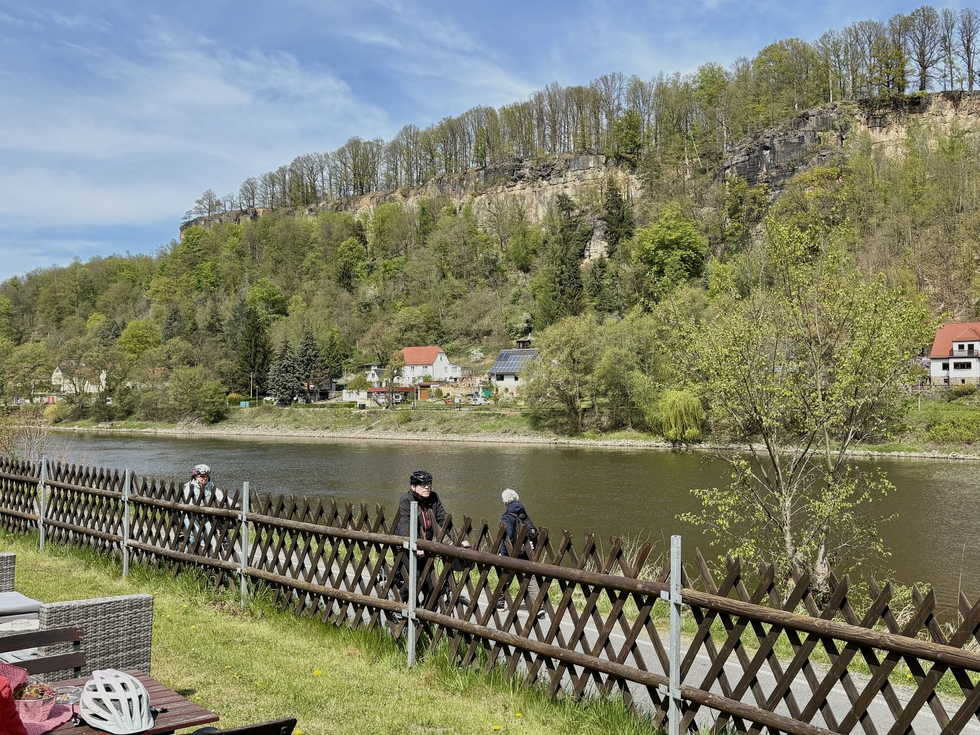
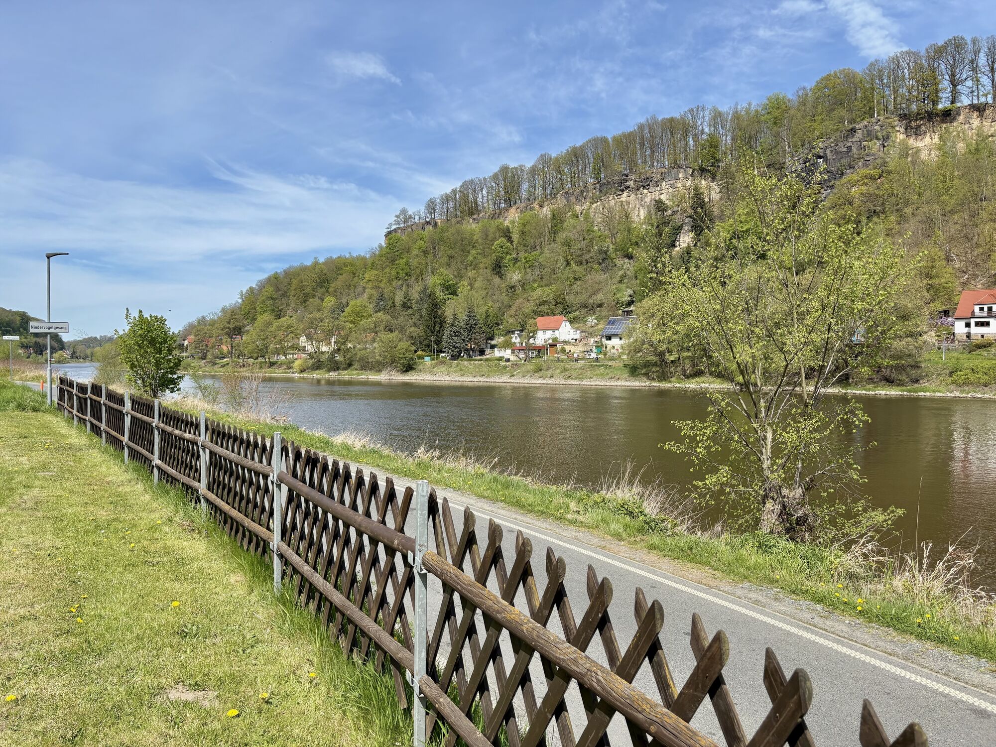
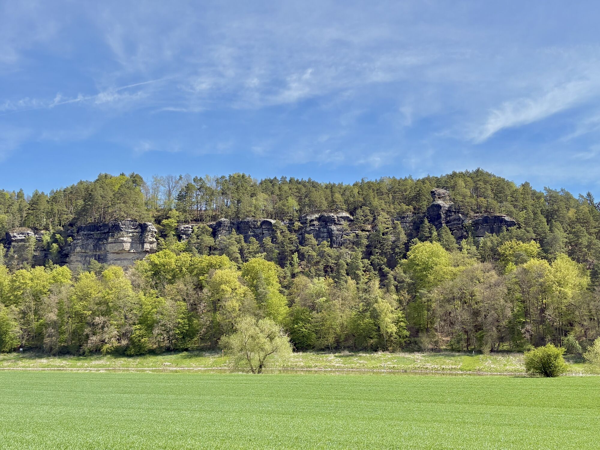
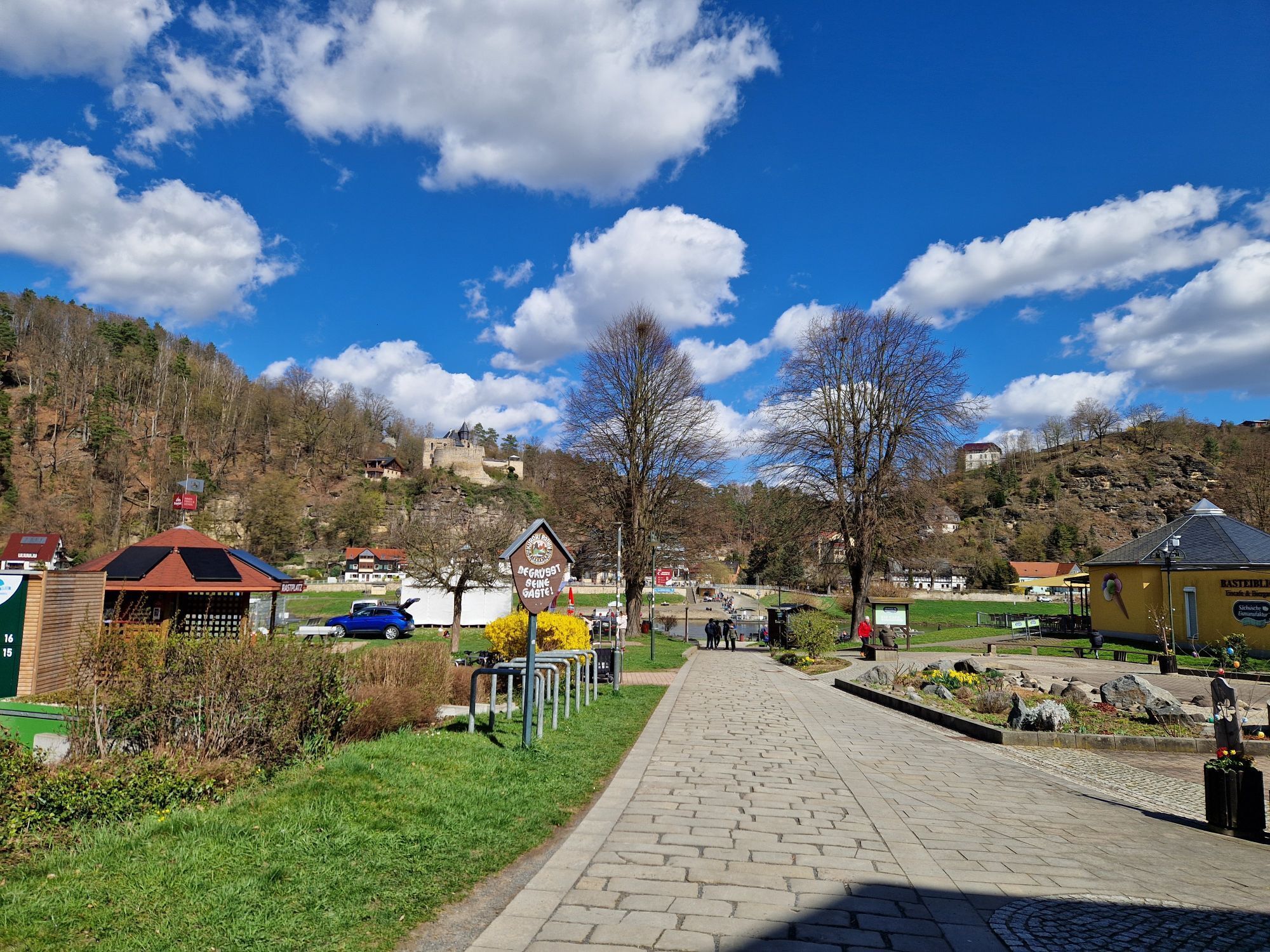
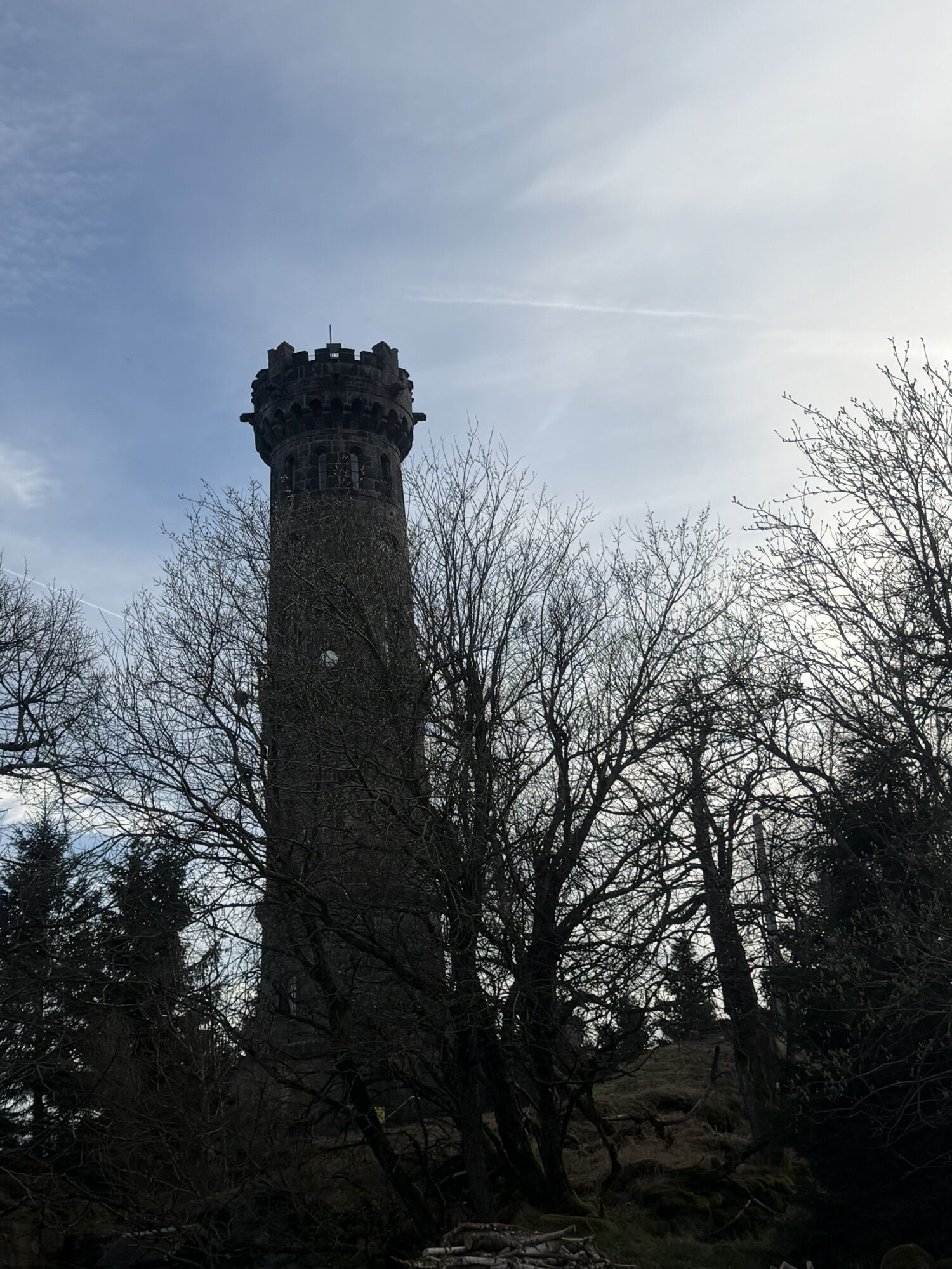
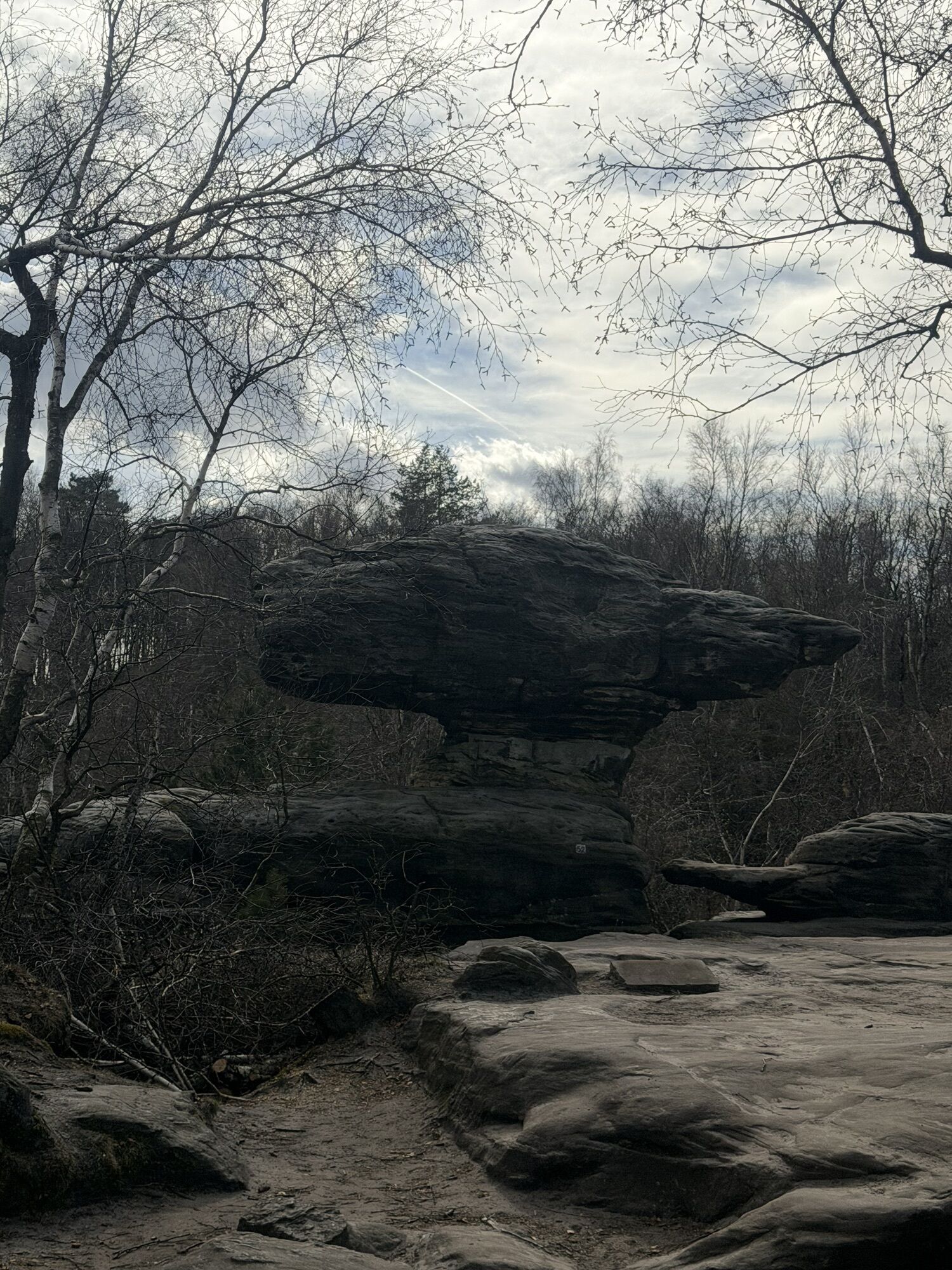
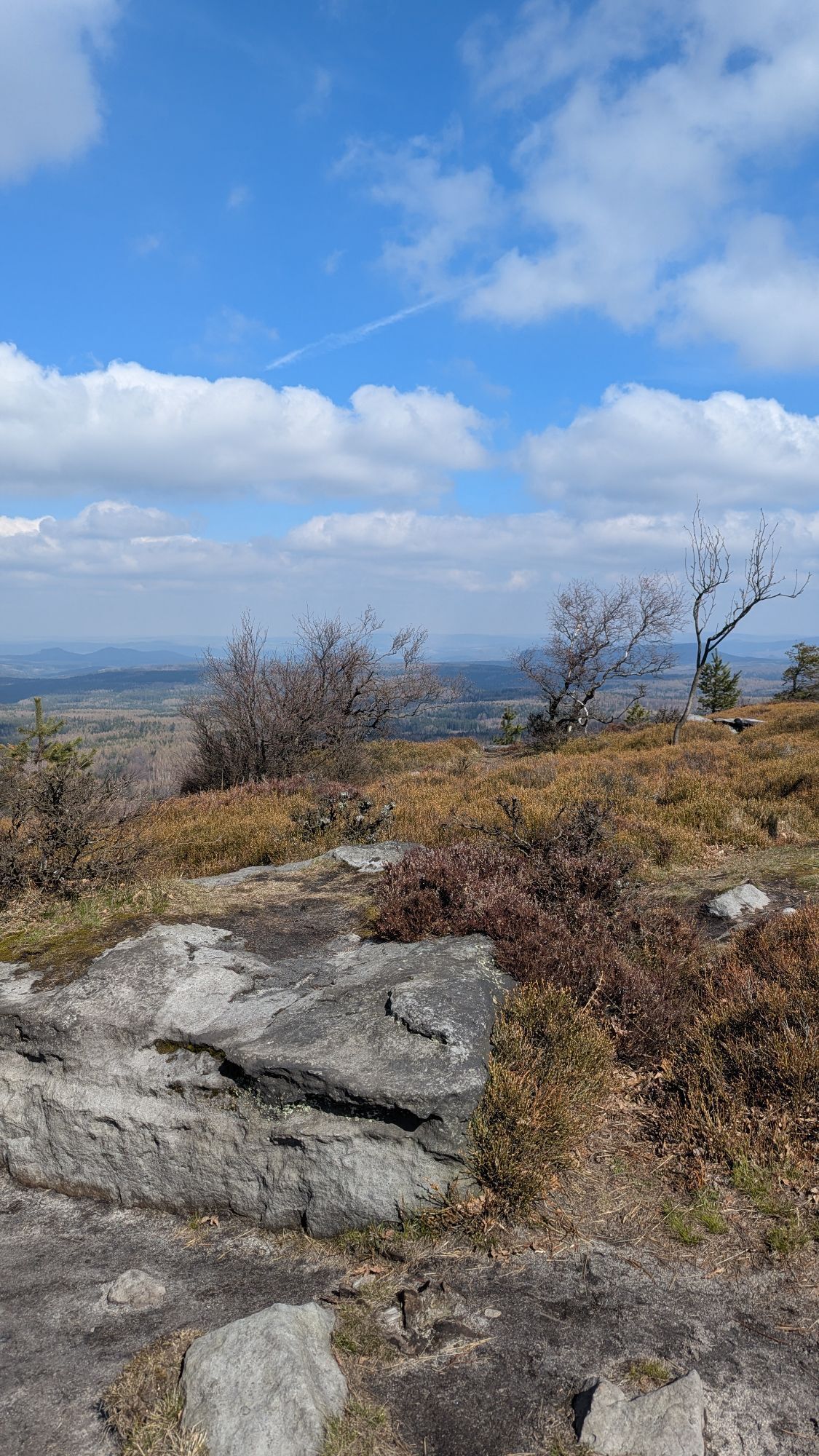
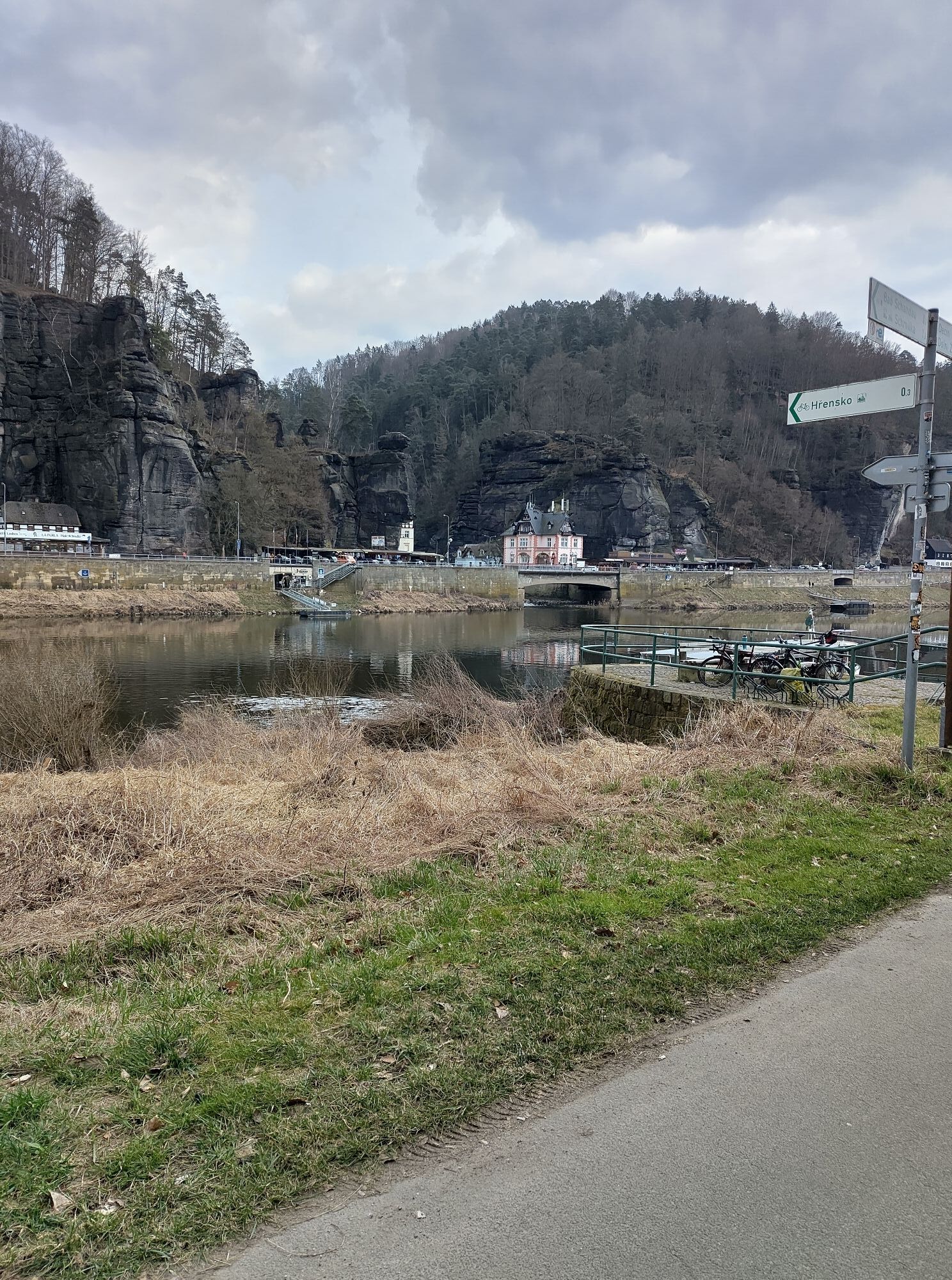
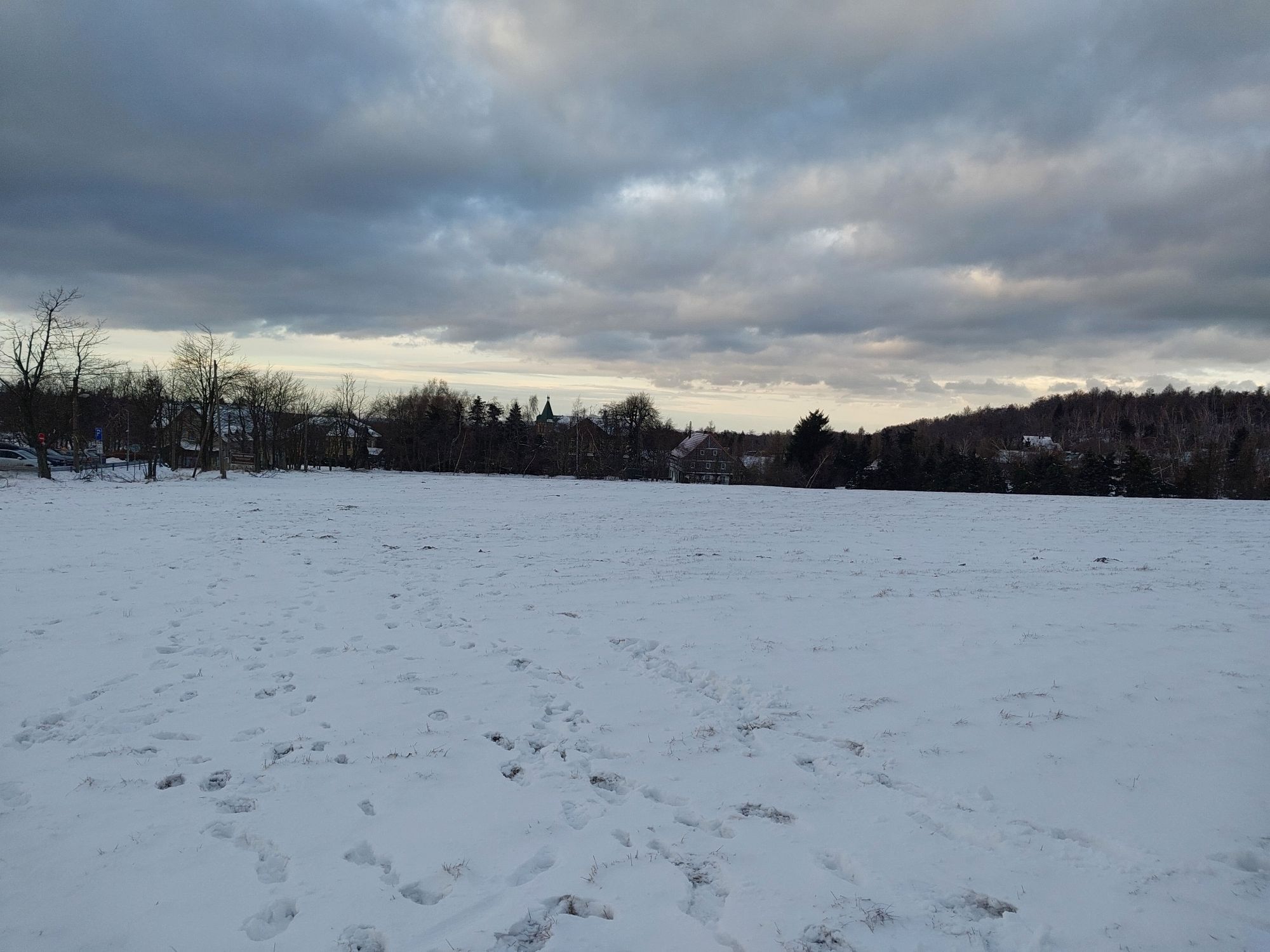
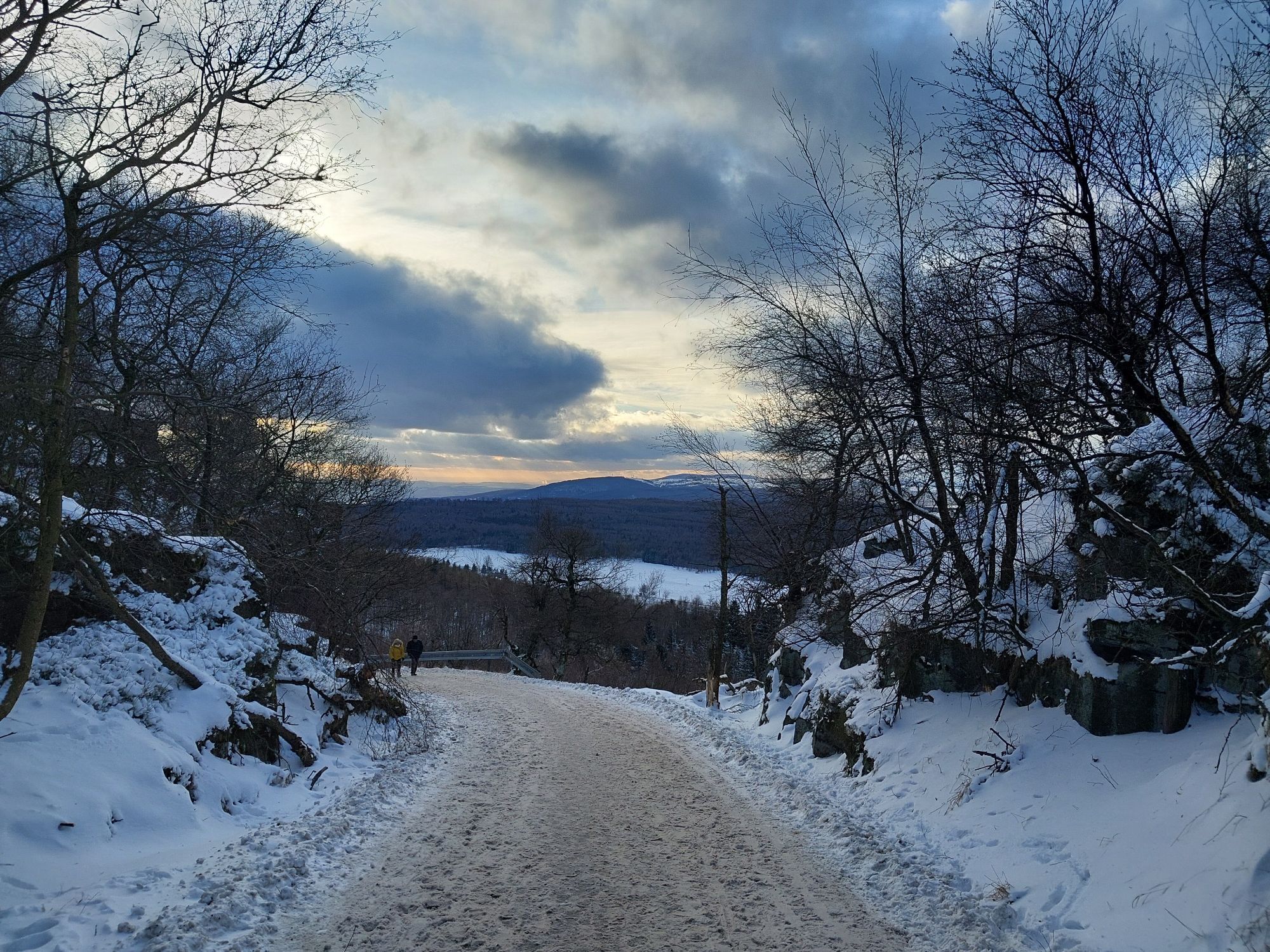
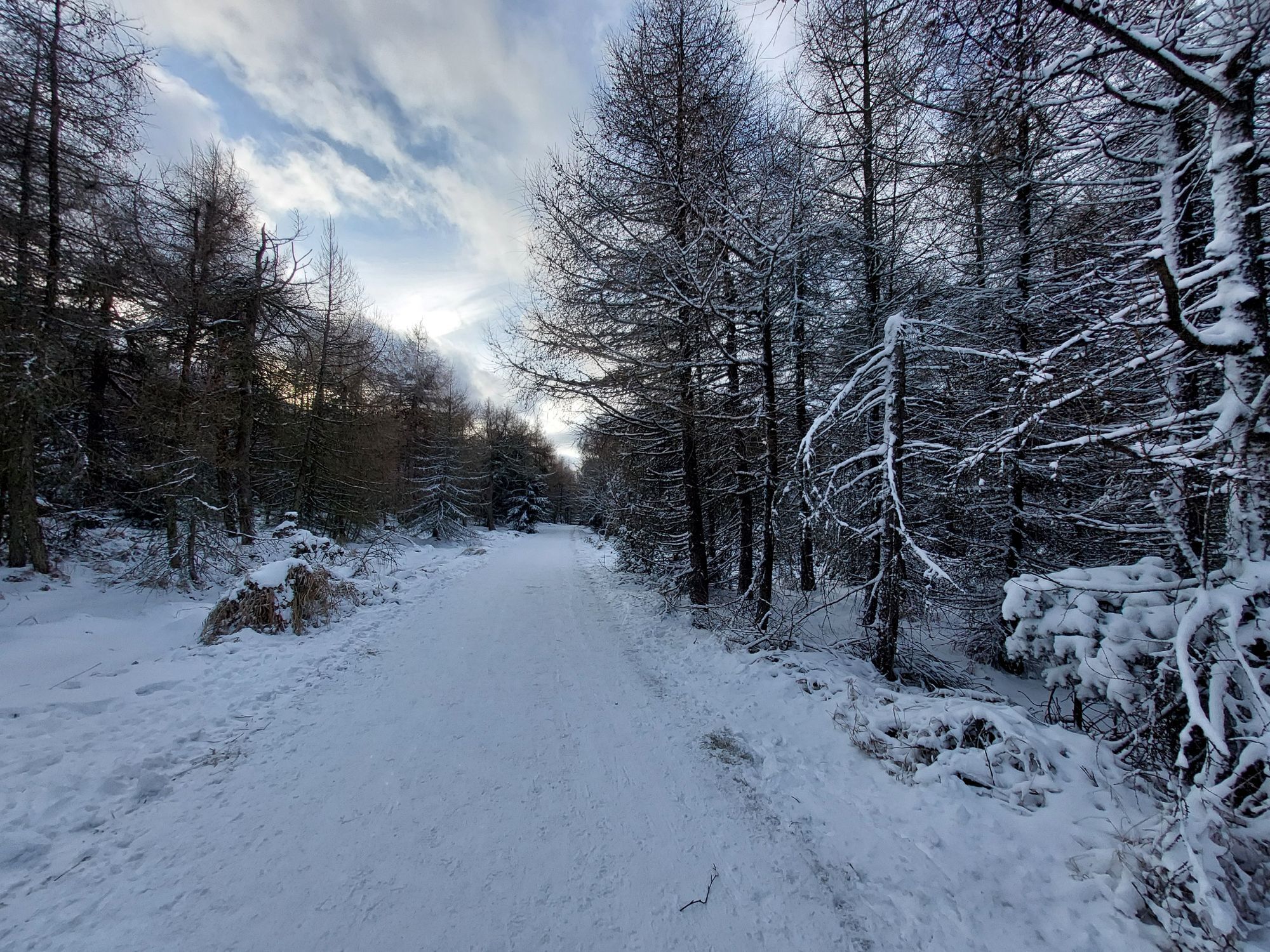
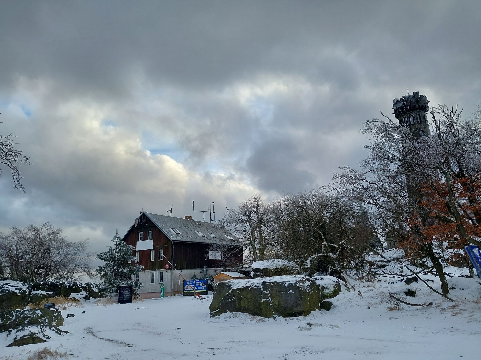
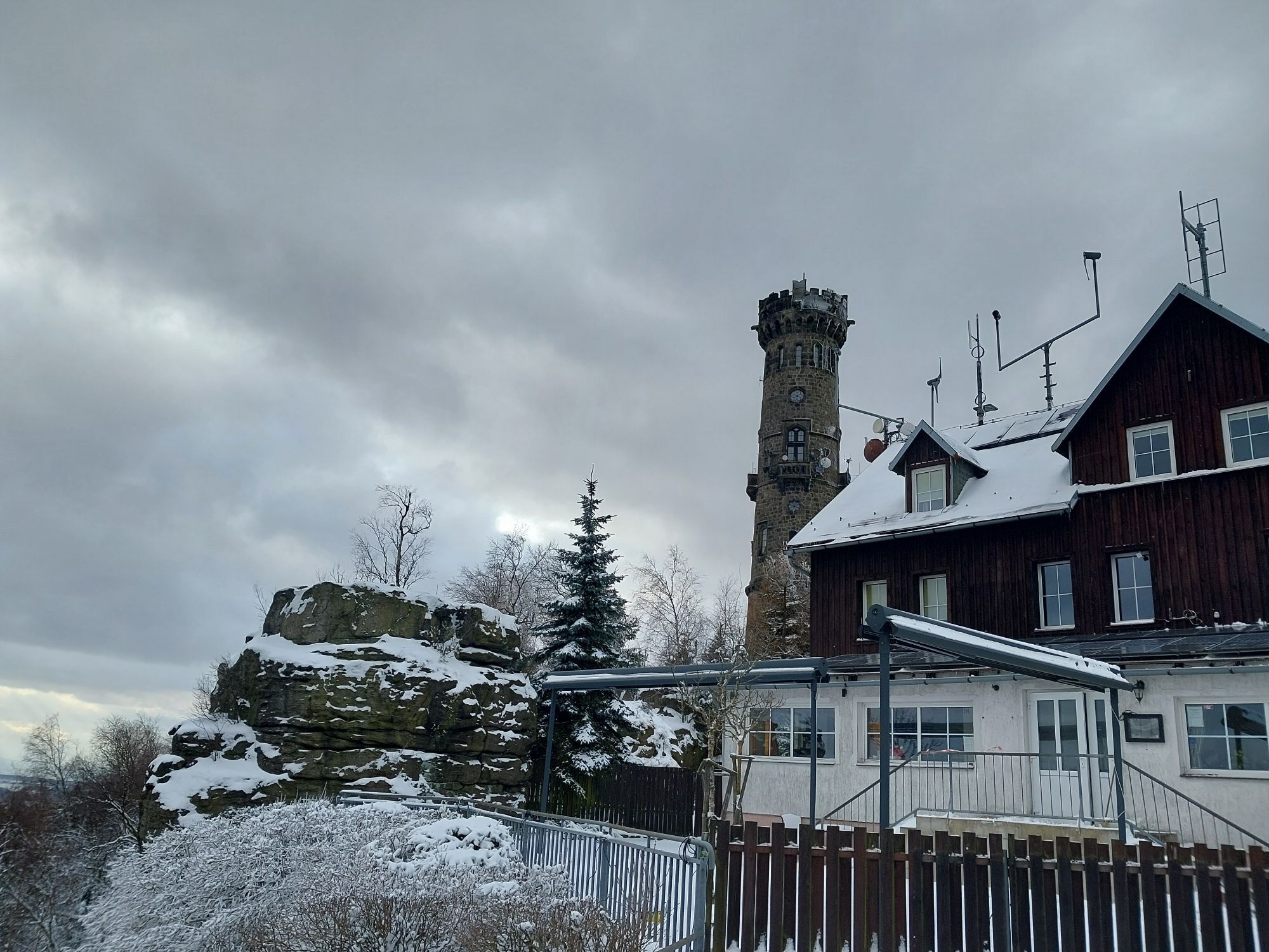
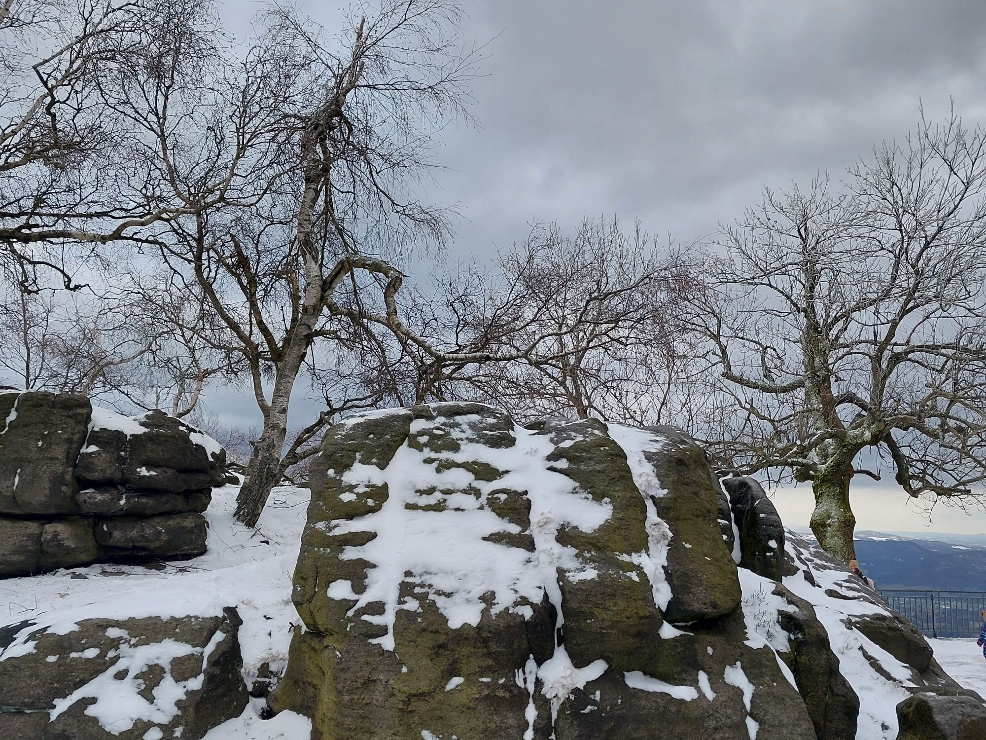
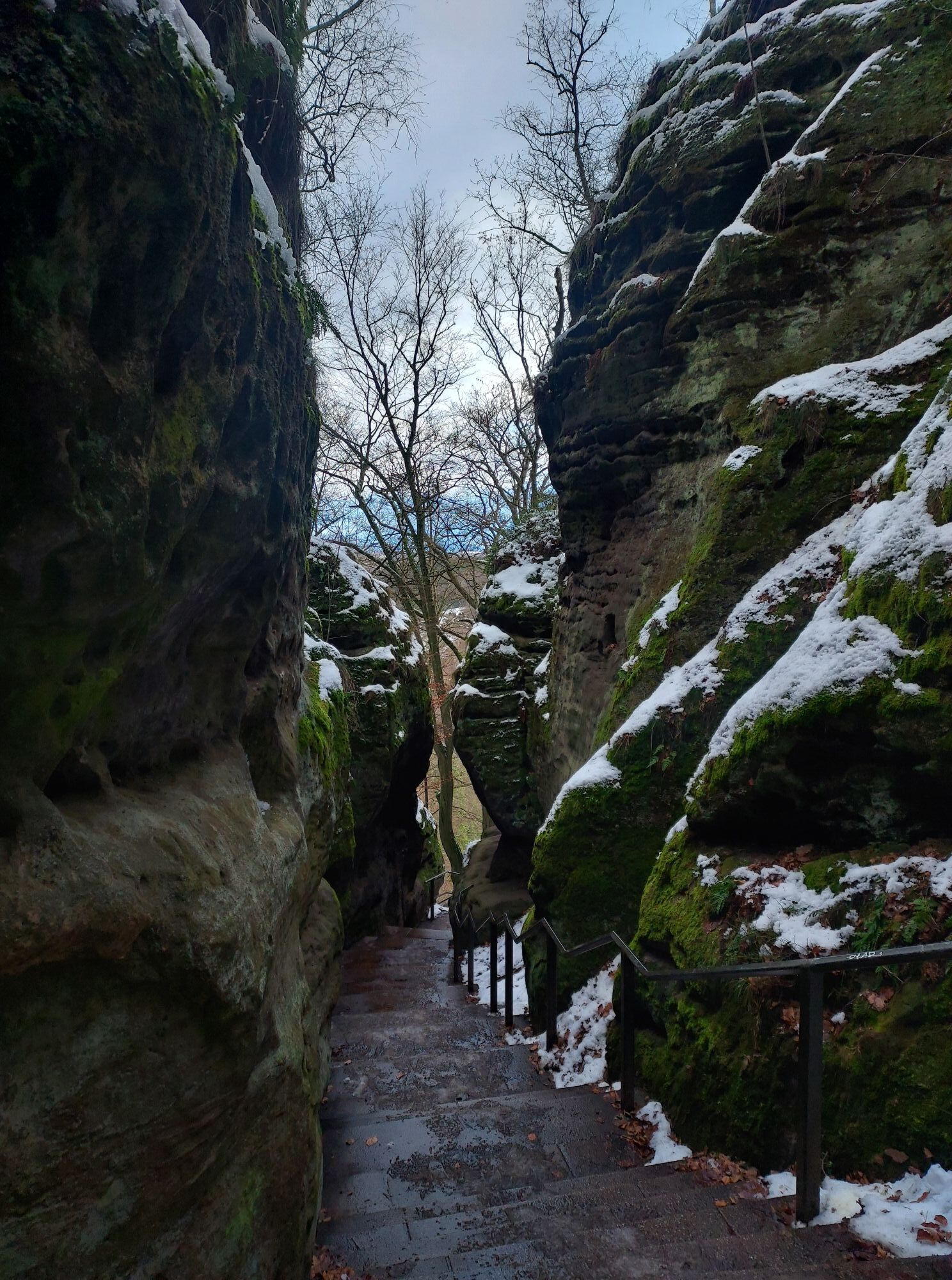
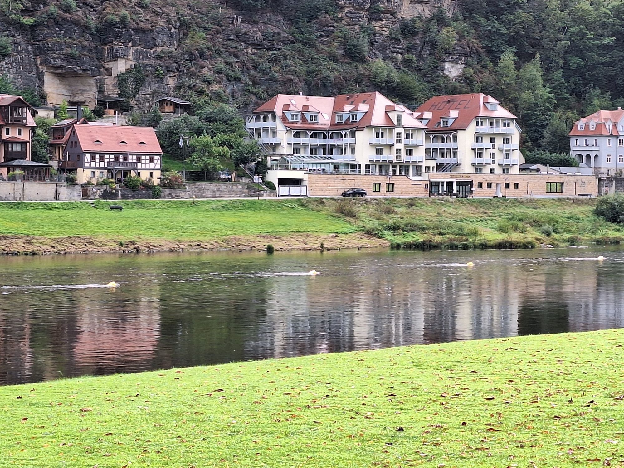


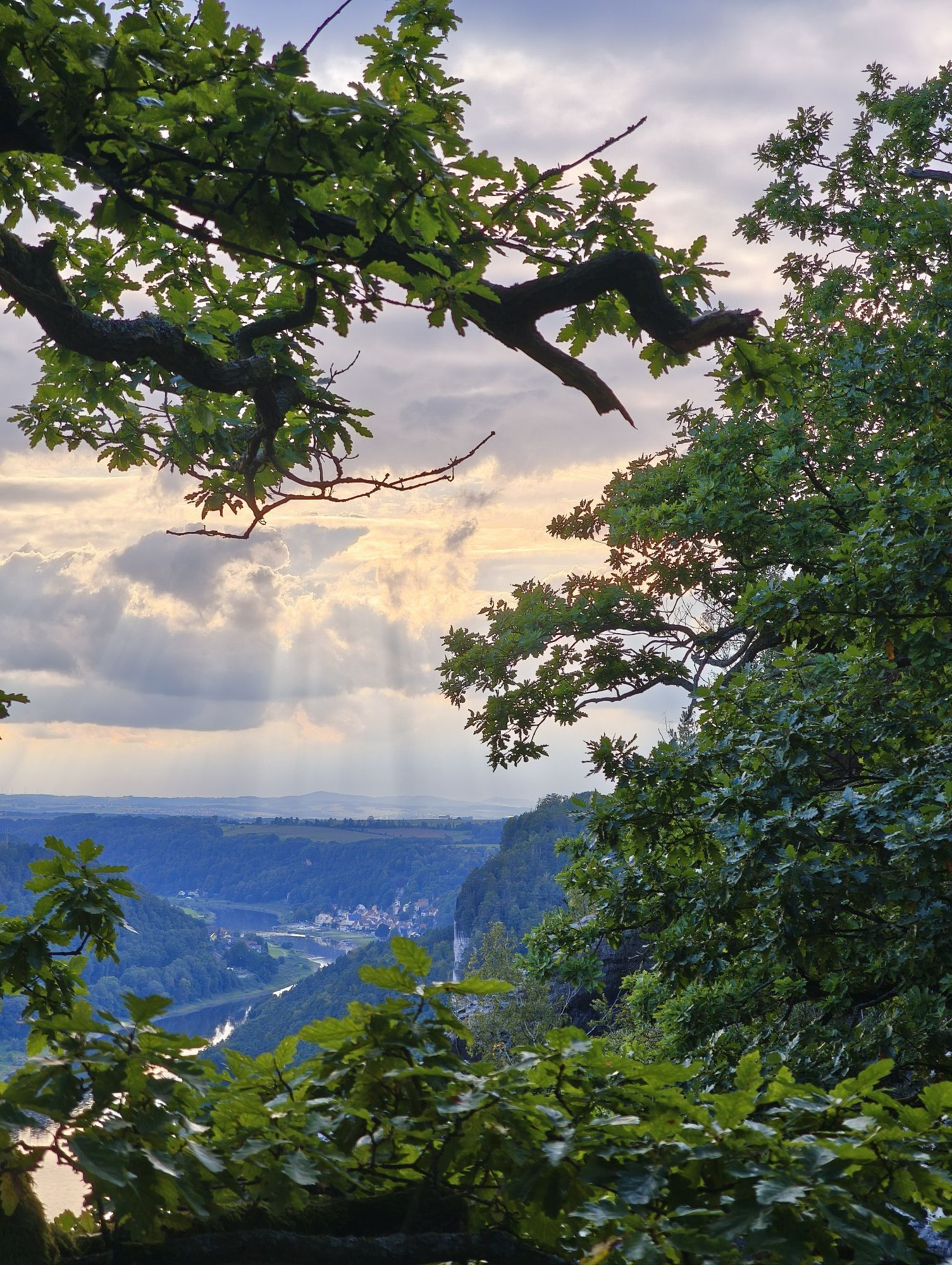
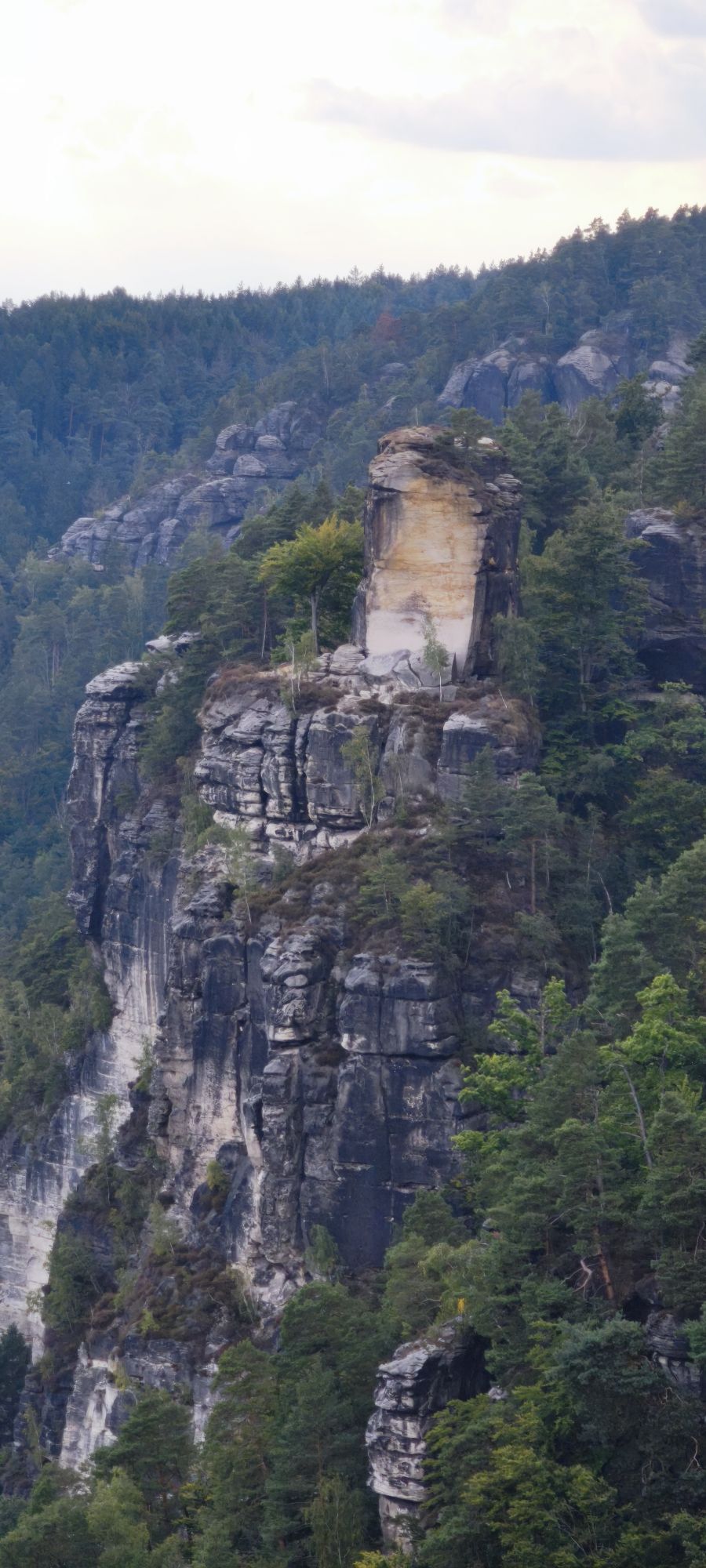


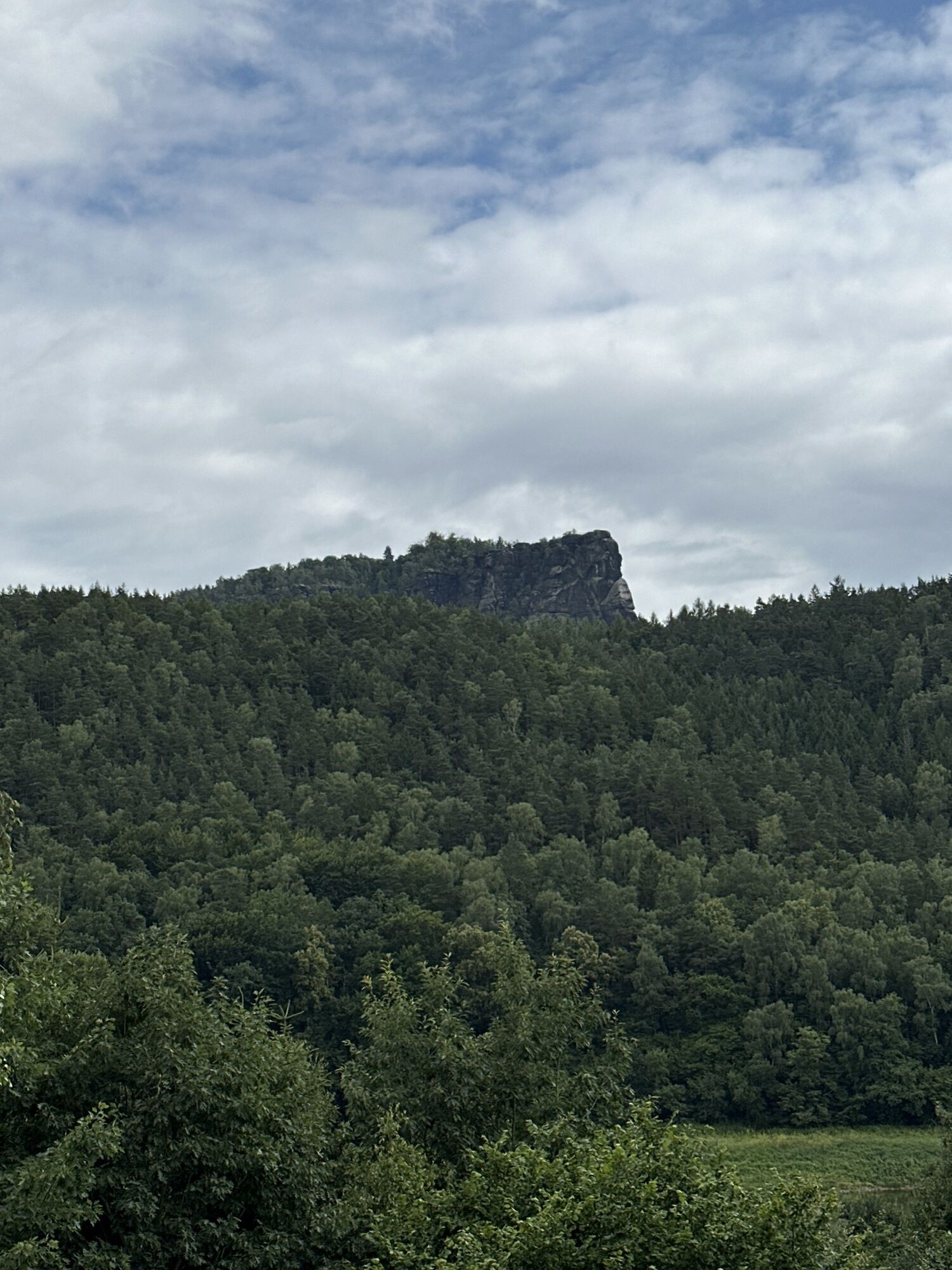
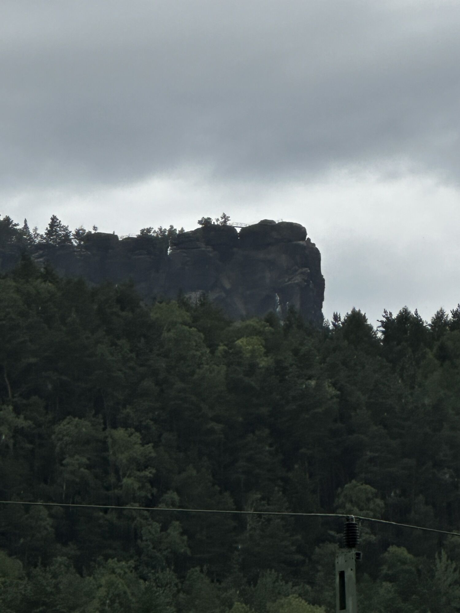
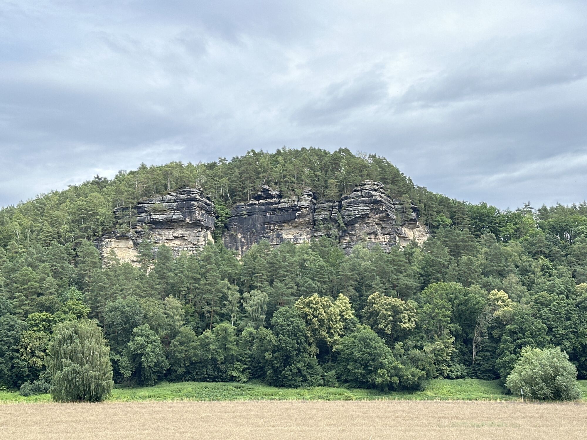
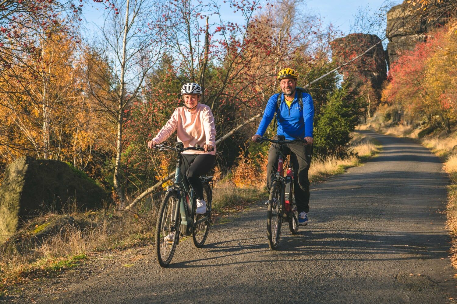
The tour can be started with a visit to the Tisá Walls. Then keep going downhill in Tisá and follow the wide serpentine to Sněžník (cycle route 21).
Tip: In Sněžník, first ride (or push) straight uphill...
The tour can be started with a visit to the Tisá Walls. Then keep going downhill in Tisá and follow the wide serpentine to SnÄžník (cycle route 21).
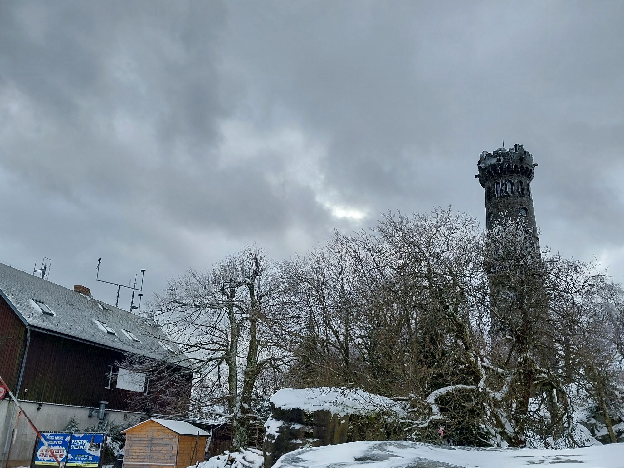
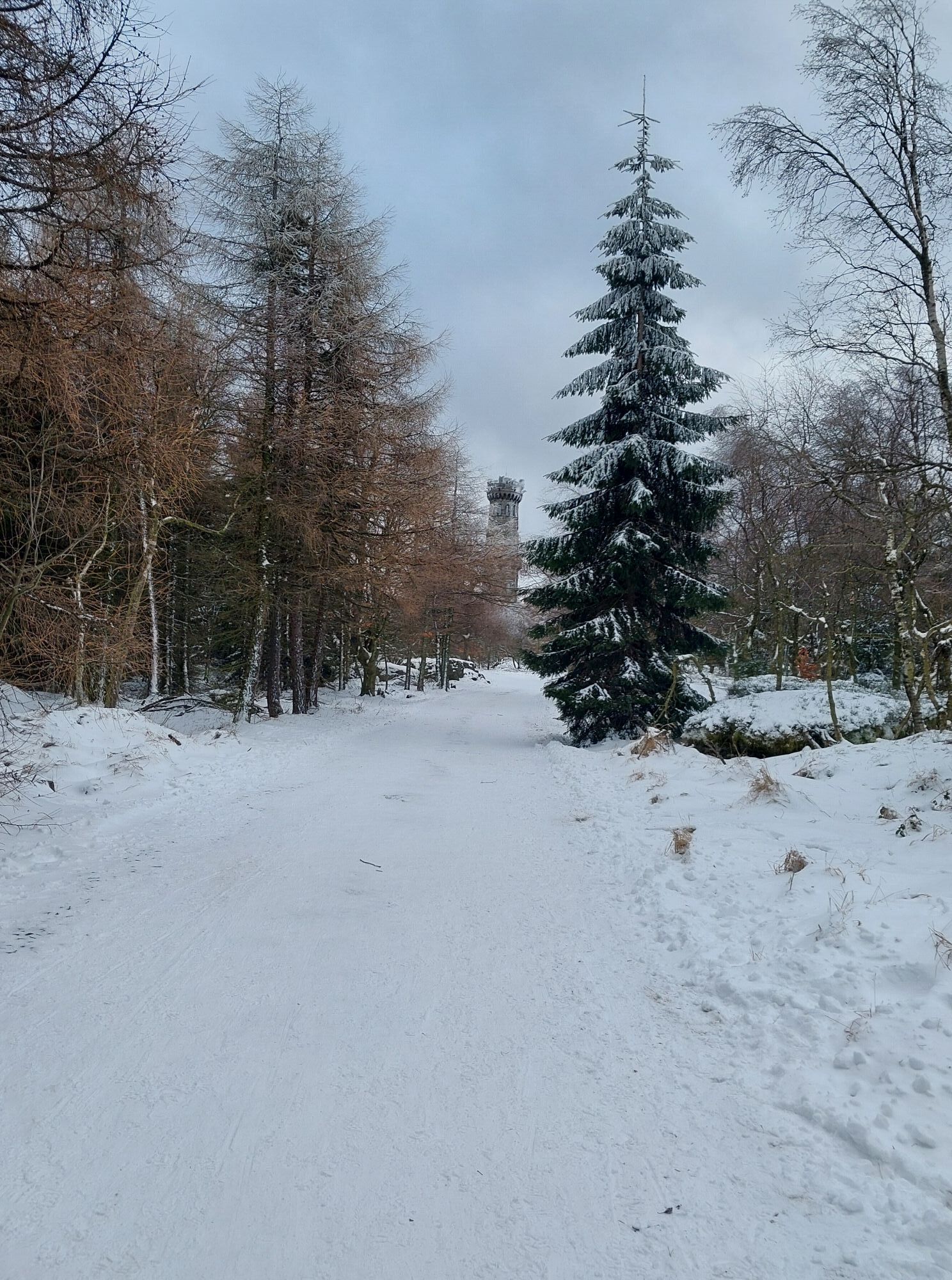
Tip: In SnÄžník, first ride (or push) straight uphill for about 2 kilometres to the top of the High Snow Mountain (SnÄžník). Here, the Dresden View (DrážÄanská vyhlídka) awaits you first on the summit on the left side and then the lookout tower and a small lodge with refreshment facilities. The way back to the village of SnÄžník is via the same path.
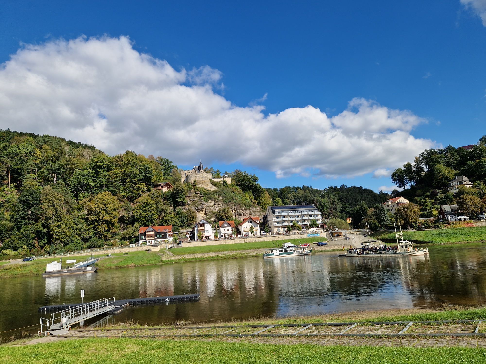
Then ride through the village of SnÄžník and follow the "cycle path 23" through a long stretch of forest in the direction of MaxiÄky (Maxdorf). After a descent (beware, a somewhat steeper descent!), you will reach the Elbe, which is called Labe on the Czech side, via the DÄÄín suburb of PÅípeÅ.
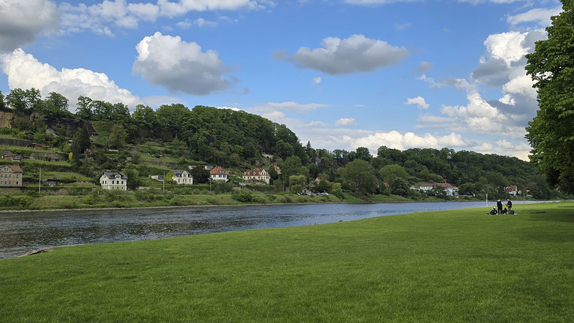
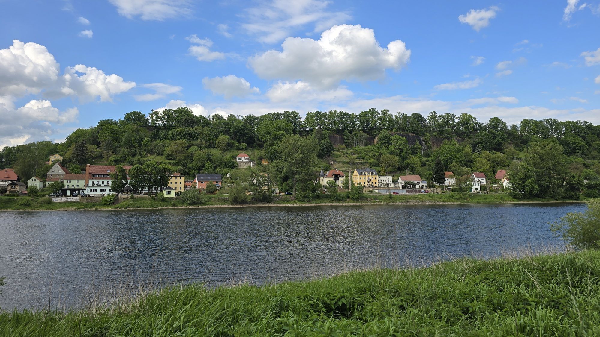
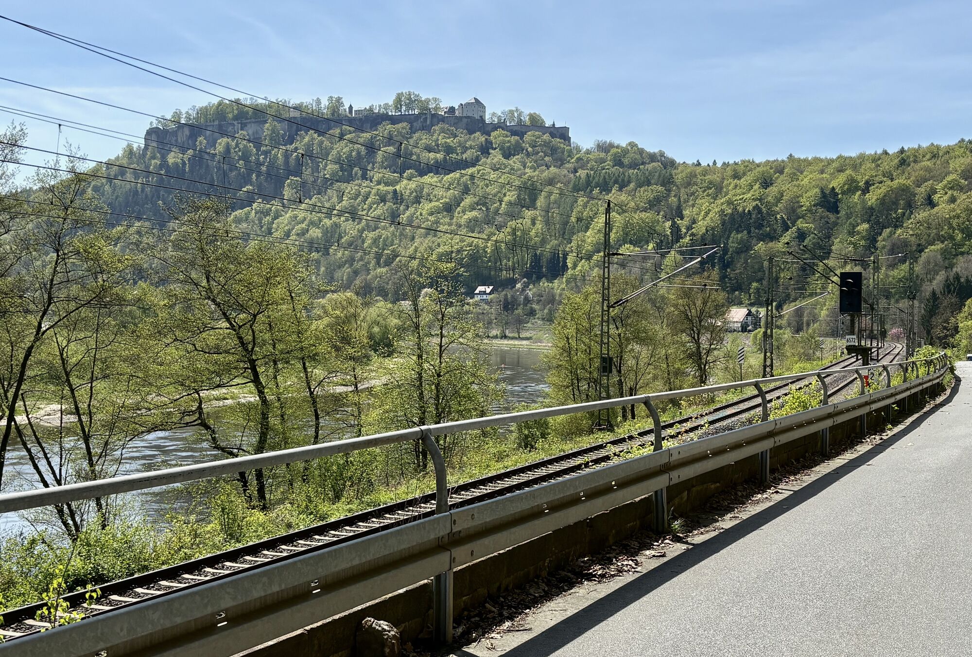
Follow the cycle path down the Elbe to Schöna and the tour can then be continued on the Elbe cycle path to Pirna.
Alternatively, you can take the S-Bahn line 1 along the Elbe cycle path, which will take you back to Pirna.
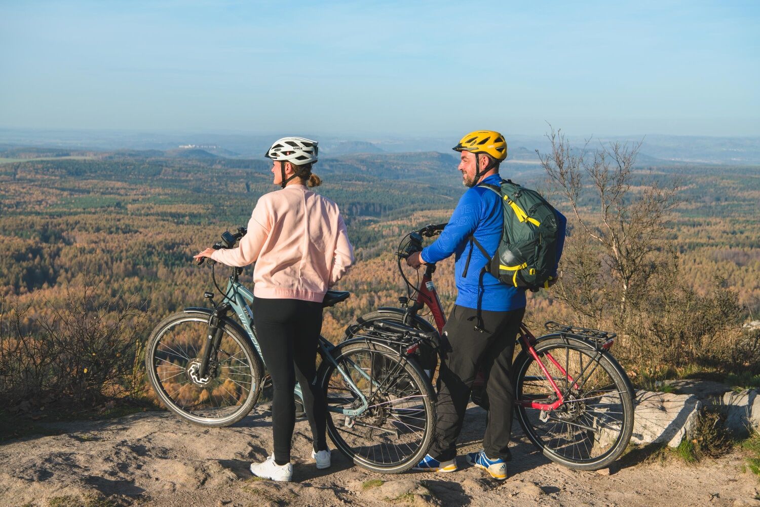
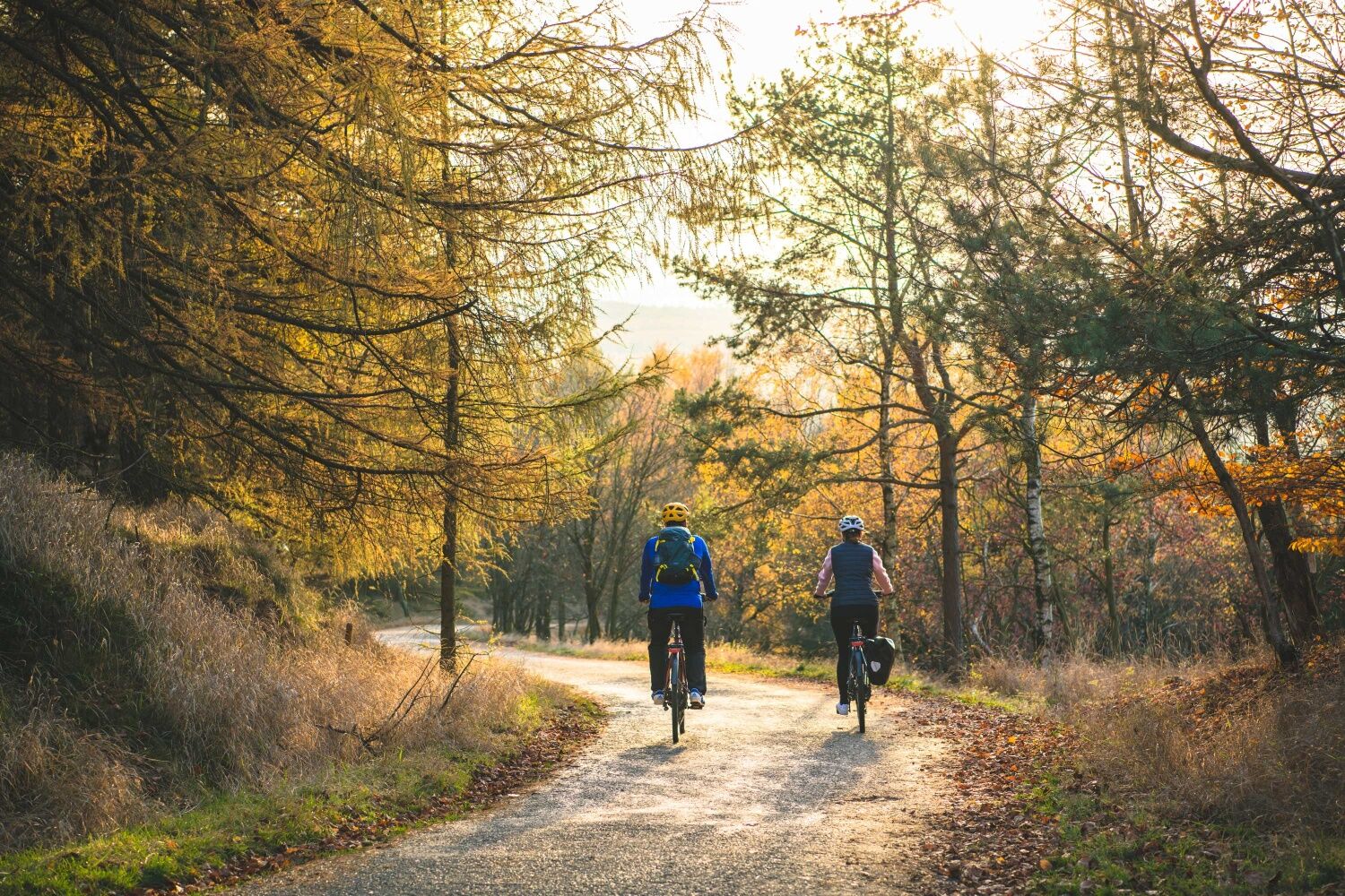

Bicycle Bus/FahrradBUS 217 from Pirna ZOB (bus station) via Berggießhübel and Bahratal, on weekends between 1.4. and 31.10.
Bicycle bus/FahrradBUS 242 from Königstein Reißiger Platz/Bahnhof via Leupoldishain and Rosenthal-Bielatal, from Rosenthal the bus continues as Bicycle BUS 217 to Tísa, on weekends between 1.4. and 31.10.
Departure:
National Park Railway U28 from DÄÄín to Bad Schandau or further via Sebnitz to Rumburk.
S-Bahn S1 (Schöna - Meißen Triebischtal), from Bad Schandau, Königstein, Kurort Rathen and Pirna, among others.
Pirna Elbe parking lot
The bicycle buses run on all public holidays and weekends in the period from 1.4. to 31.10. They can transport up to 16 bicycles at a time. The transport of e-bikes is no problem. Your advantage: Overnight guests with the mobile guest card only have to buy a bike ticket. This is possible with the bus driver.
Webové kamery z prohlídky
-
Krippen - Hönel Hof
-
Burgstadt Hohnstein
-
Burgstadt Hohnstein
-
Burgstadt Hohnstein
-
Burgstadt Hohnstein
-
Nationalparkbahnhof
-
Nationalparkbahnhof
-
Nationalparkbahnhof
-
Nationalparkbahnhof
-
Nationalparkbahnhof
-
Nationalparkbahnhof
-
Aussichtsturm Rathmannsdorf
-
Aussichtsturm Rathmannsdorf
-
Aussichtsturm Rathmannsdorf
-
Aussichtsturm Rathmannsdorf
-
Aussichtsturm Rathmannsdorf
-
Aussichtsturm Rathmannsdorf
-
Oberrathen
-
Oberrathen
-
Burg Altrathen
-
Pirna
-
Burgstadt Hohnstein
Získejte přehled
Vždy živě na místě s více než 9 500 webkamerami. bergfex Jako uživatel Pro si nyní můžete zobrazit odpovídající webové kamery pro mnoho prohlídek v aplikaci prohlídky z. Můžete si tak přímo prohlédnout aktuální podmínky.
Oblíbené prohlídky v okolí
-
4.7
Rathen / Hockstein / Bastei / Rathen
středníTuristika 14.4 km -
4.6
Von Rathewalde zur Bastei
Turistika 12.8 km -
4.6
Kuhstall, Himmelsleiter und Schneiderloch
středníTuristika 4.06 km -
4.7
Pfaffenstein Sachsen/Deutschland
středníTuristika 3.89 km -
5.0
Basteibrücke
světloTuristika 2.31 km -
5.0
Lilienstein
světloTuristika 3.75 km -
4.9
entlang der Schrammsteine, Breite Kluft, Affenwand
středníTuristika 11.6 km -
5.0
Prebischtor
středníTuristika 18.9 km -
4.8
Bad Schandau, Schrammsteinrunde
středníTuristika 11.0 km -
4.9
Schrammstein Runde
středníTuristika 12.3 km
Pěší turistika a stopování


Nenechte si ujít nabídky a inspiraci pro vaši příští dovolenou
Vaše e-mailová adresa byl přidán do poštovního seznamu.





