







Vertical Crazidei
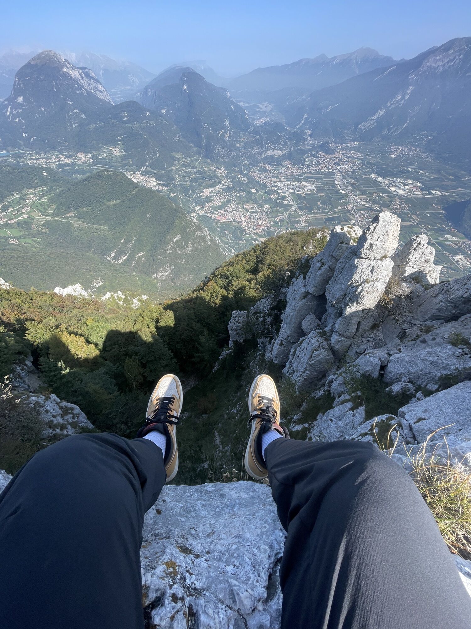
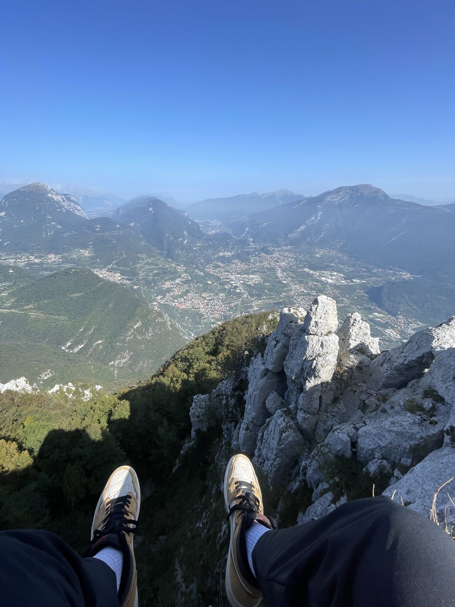
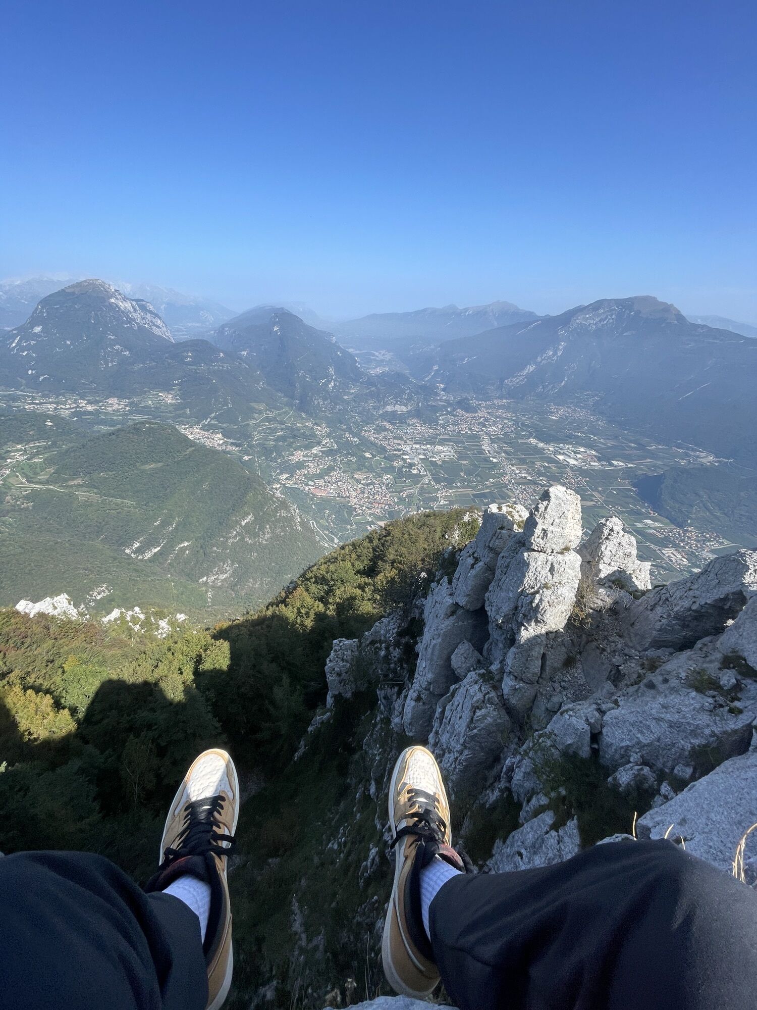
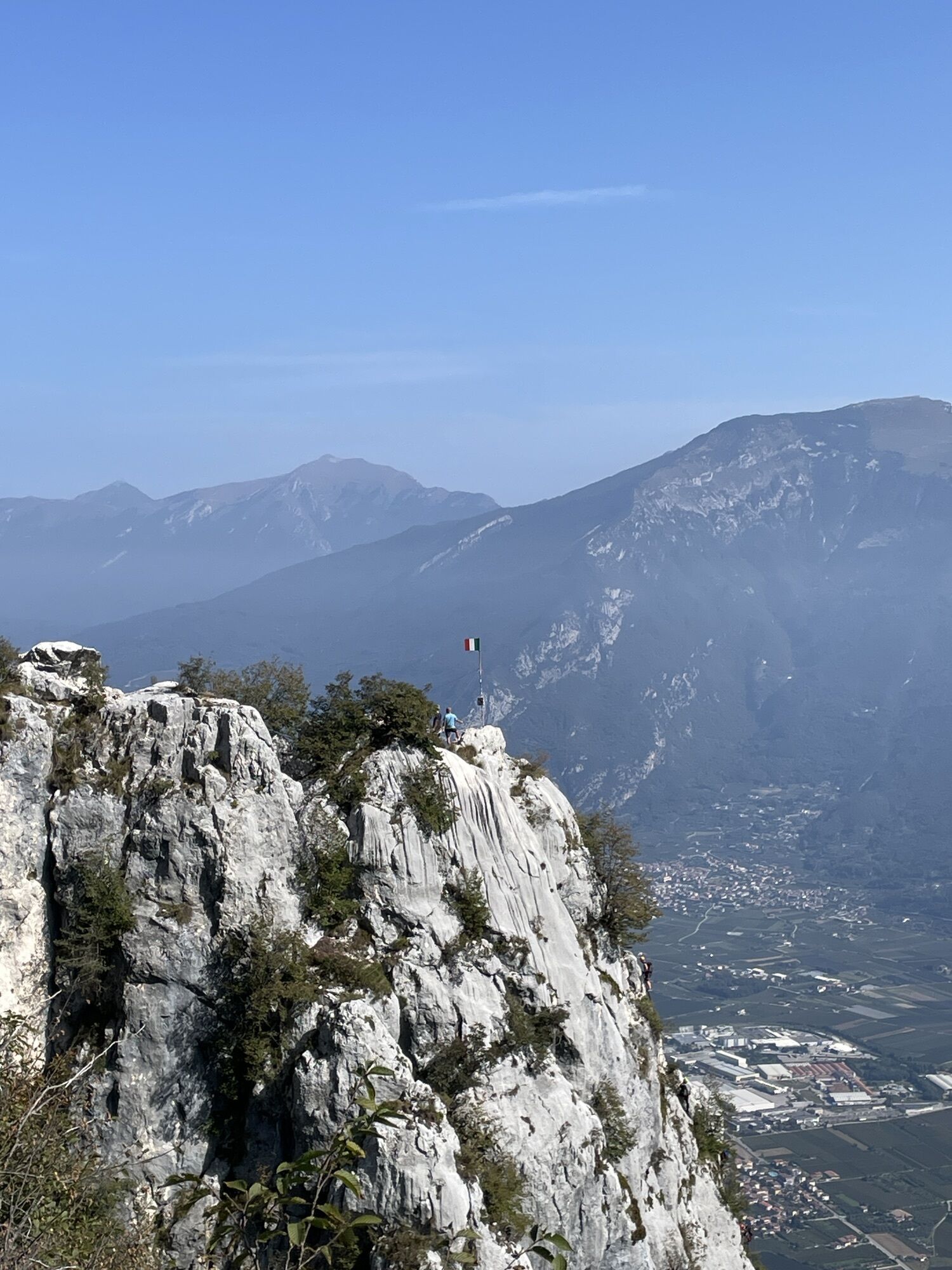
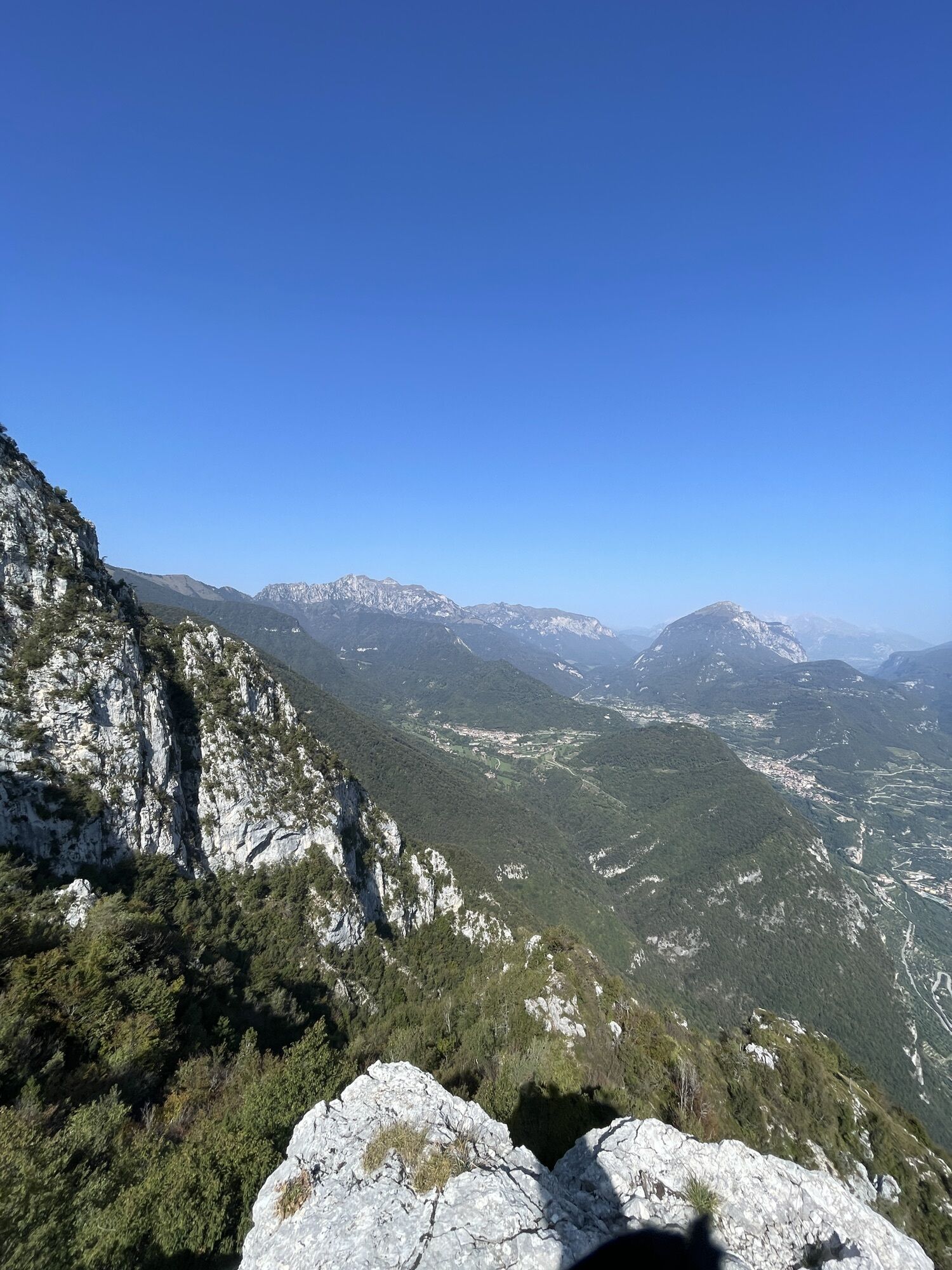
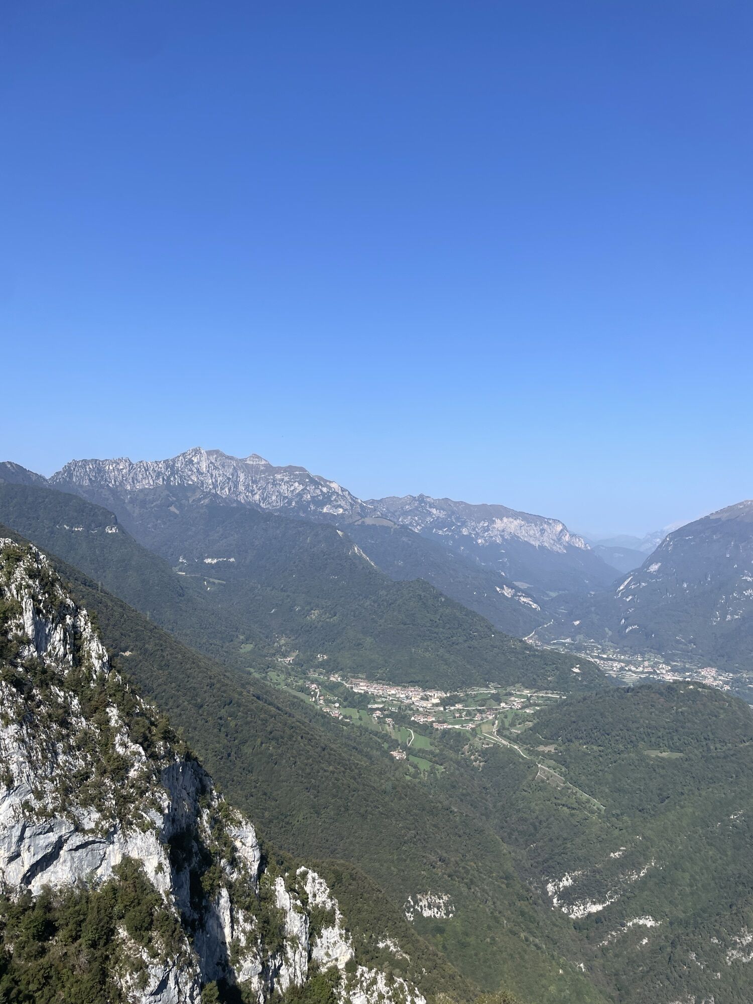
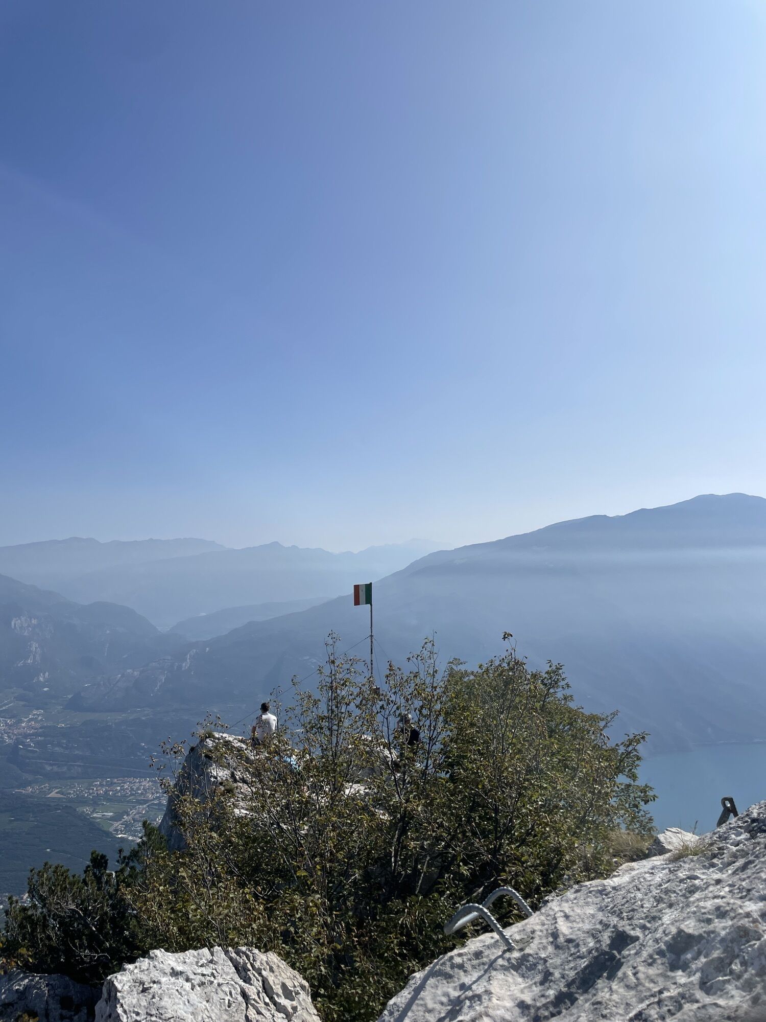
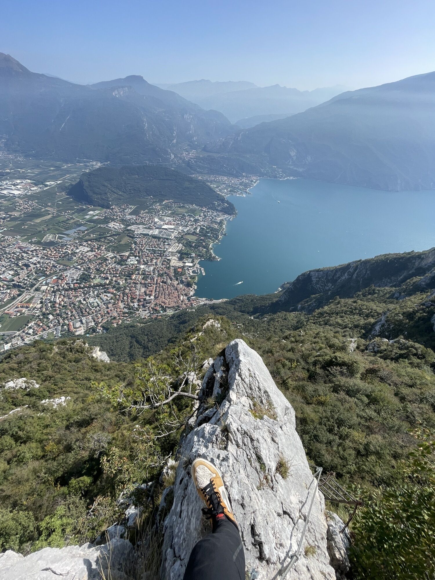
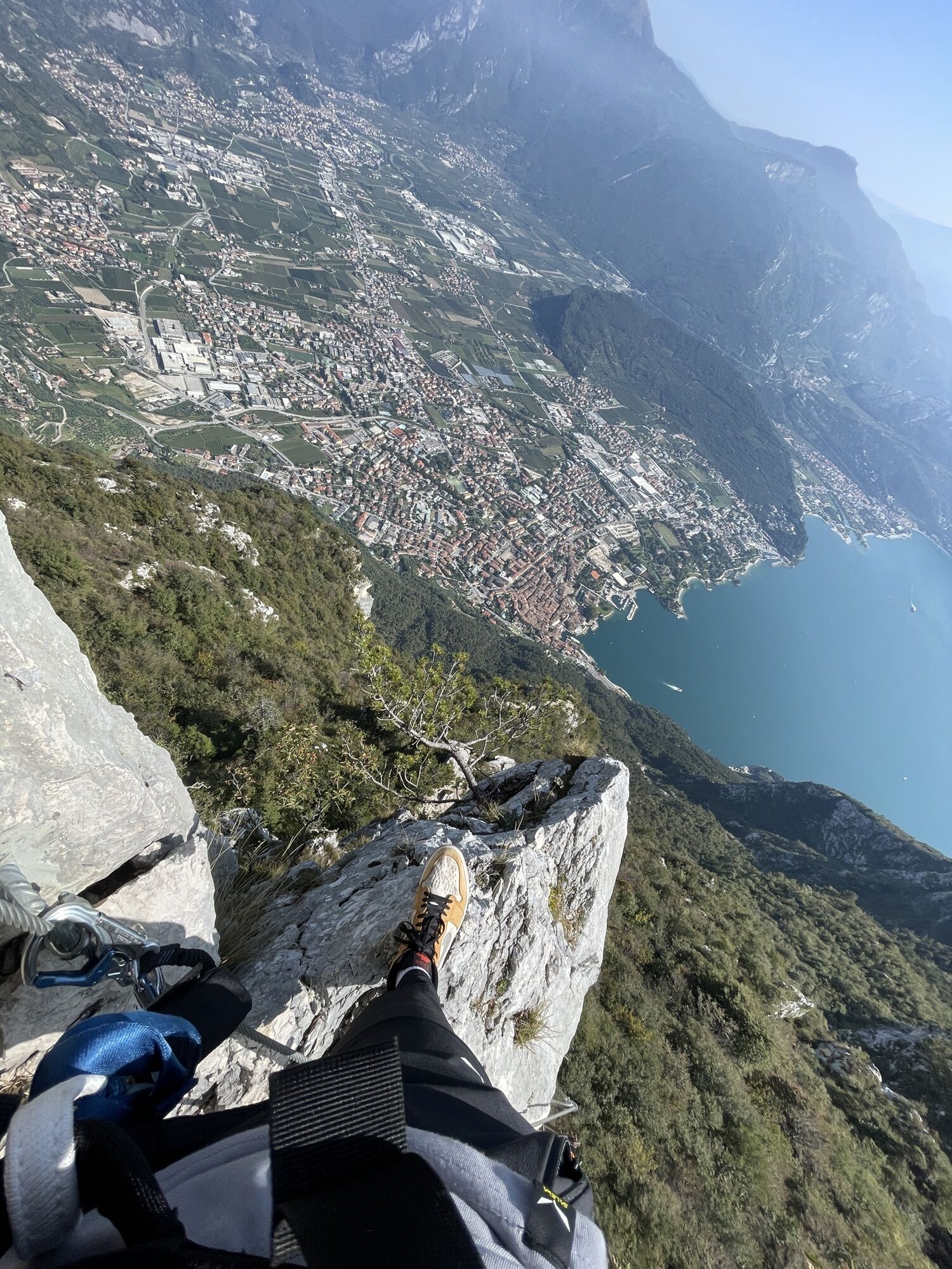
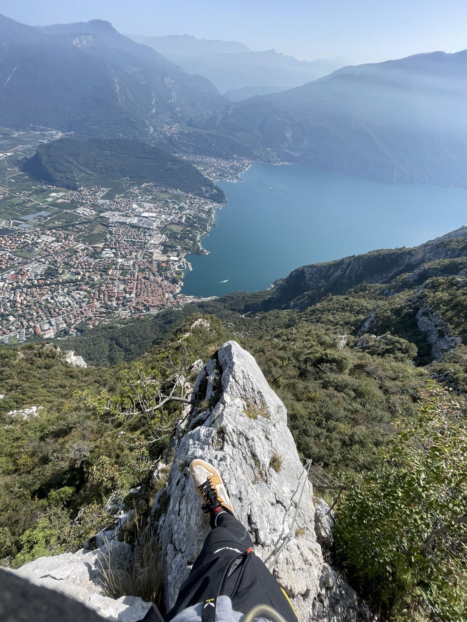
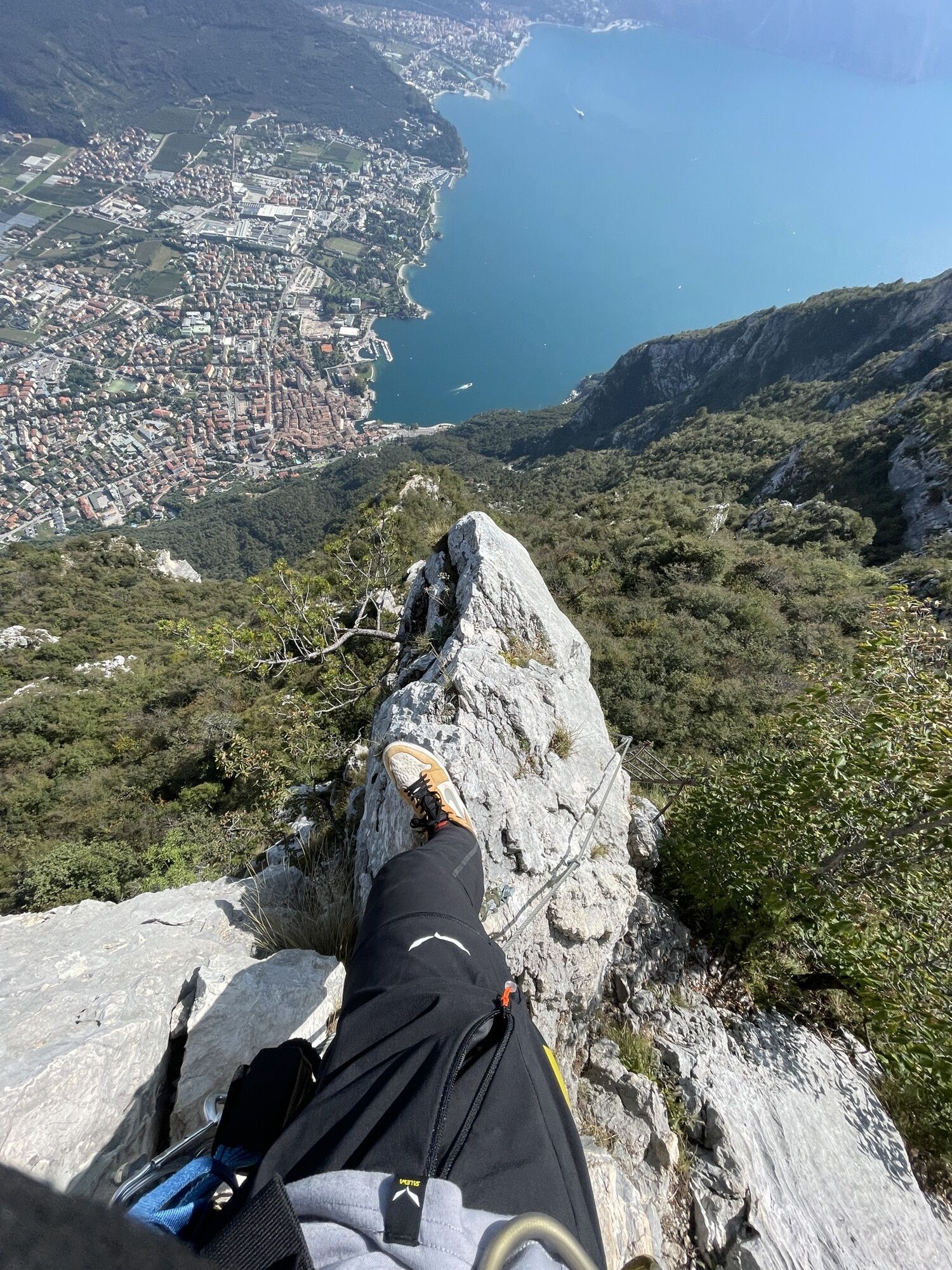
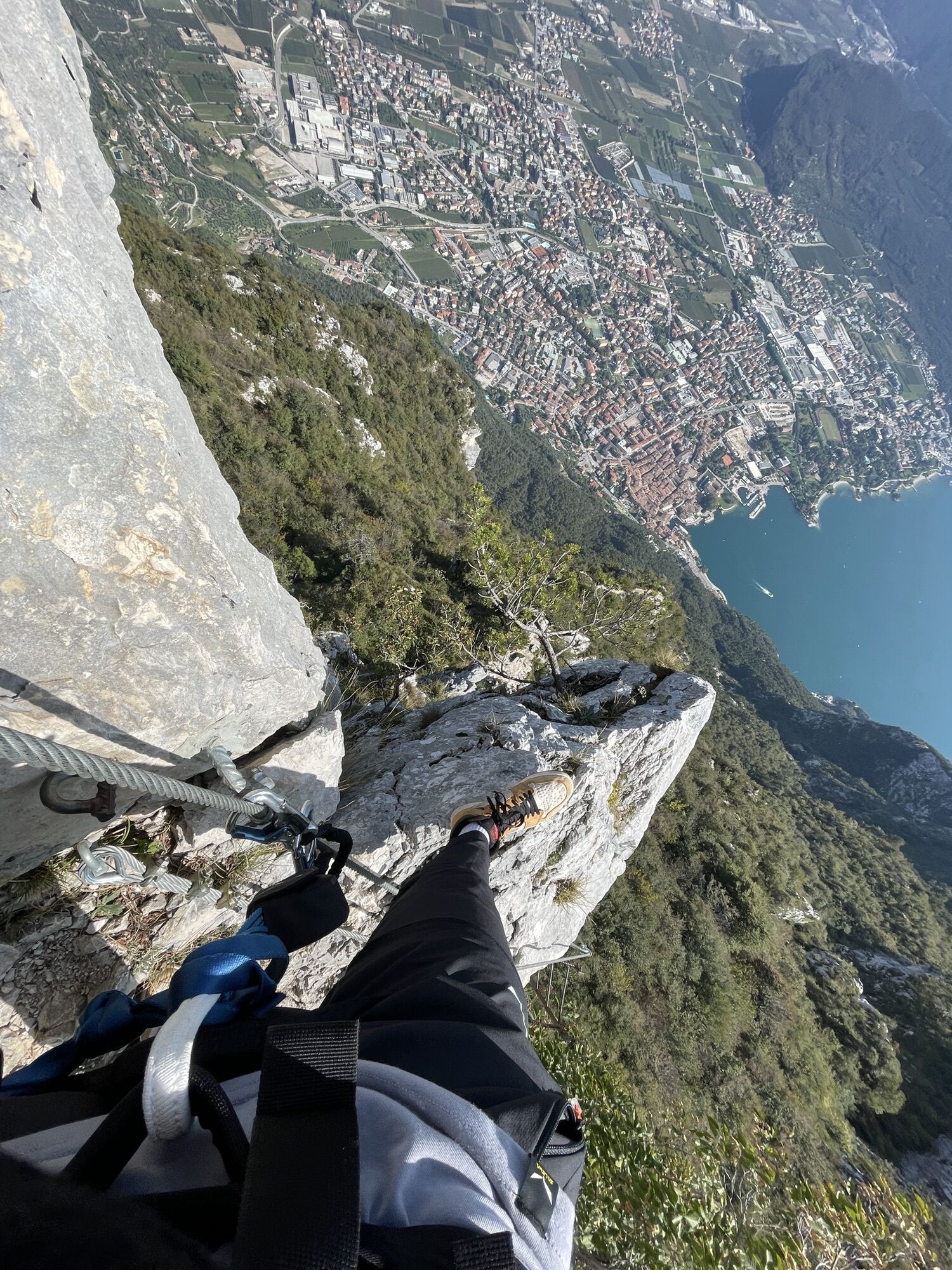
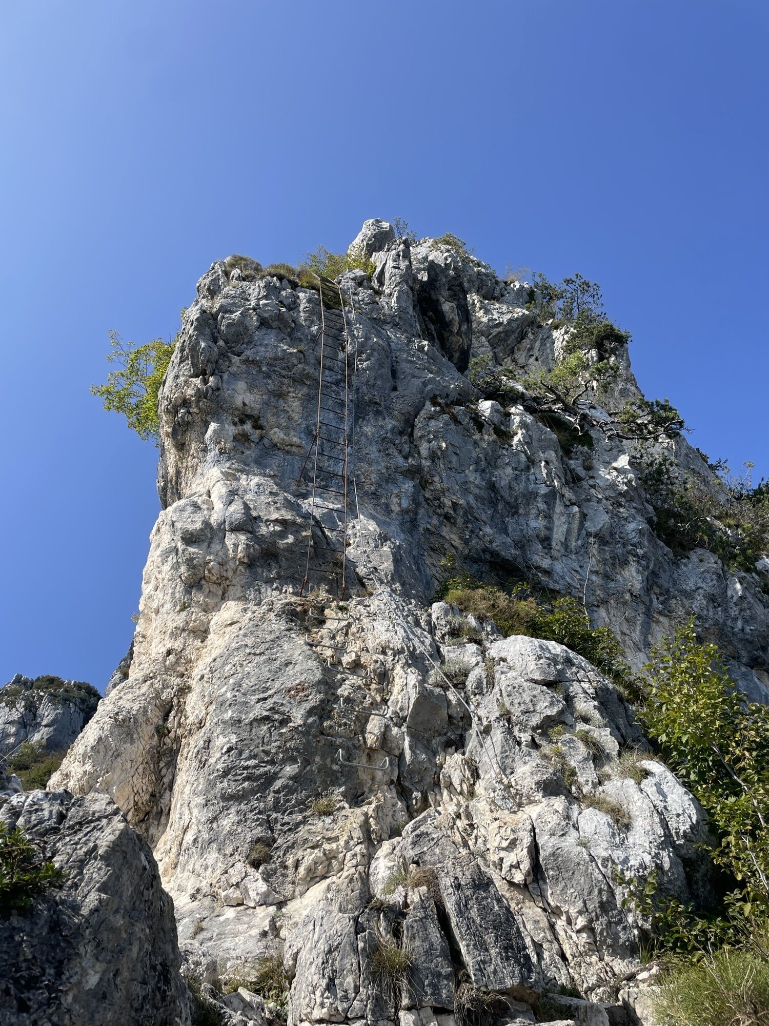
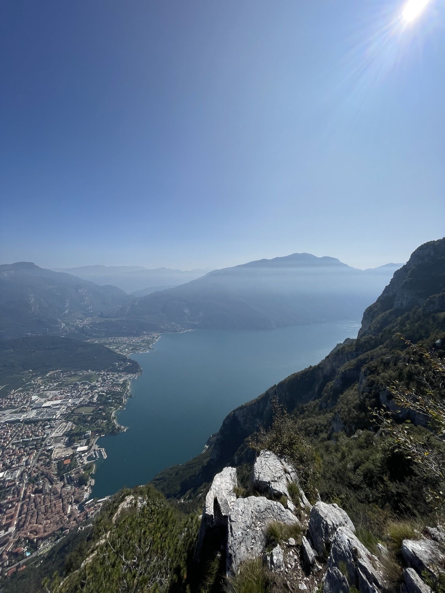
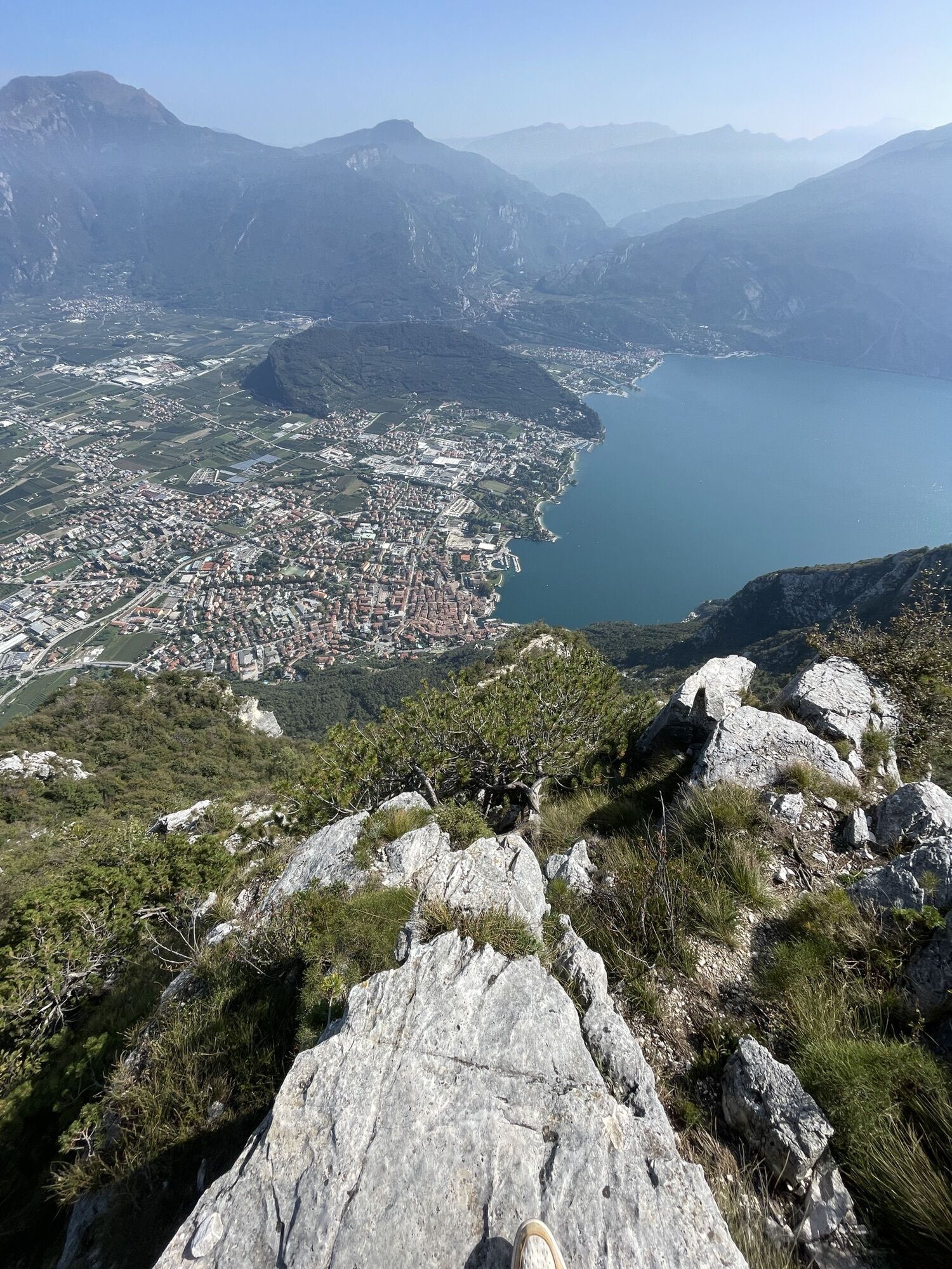
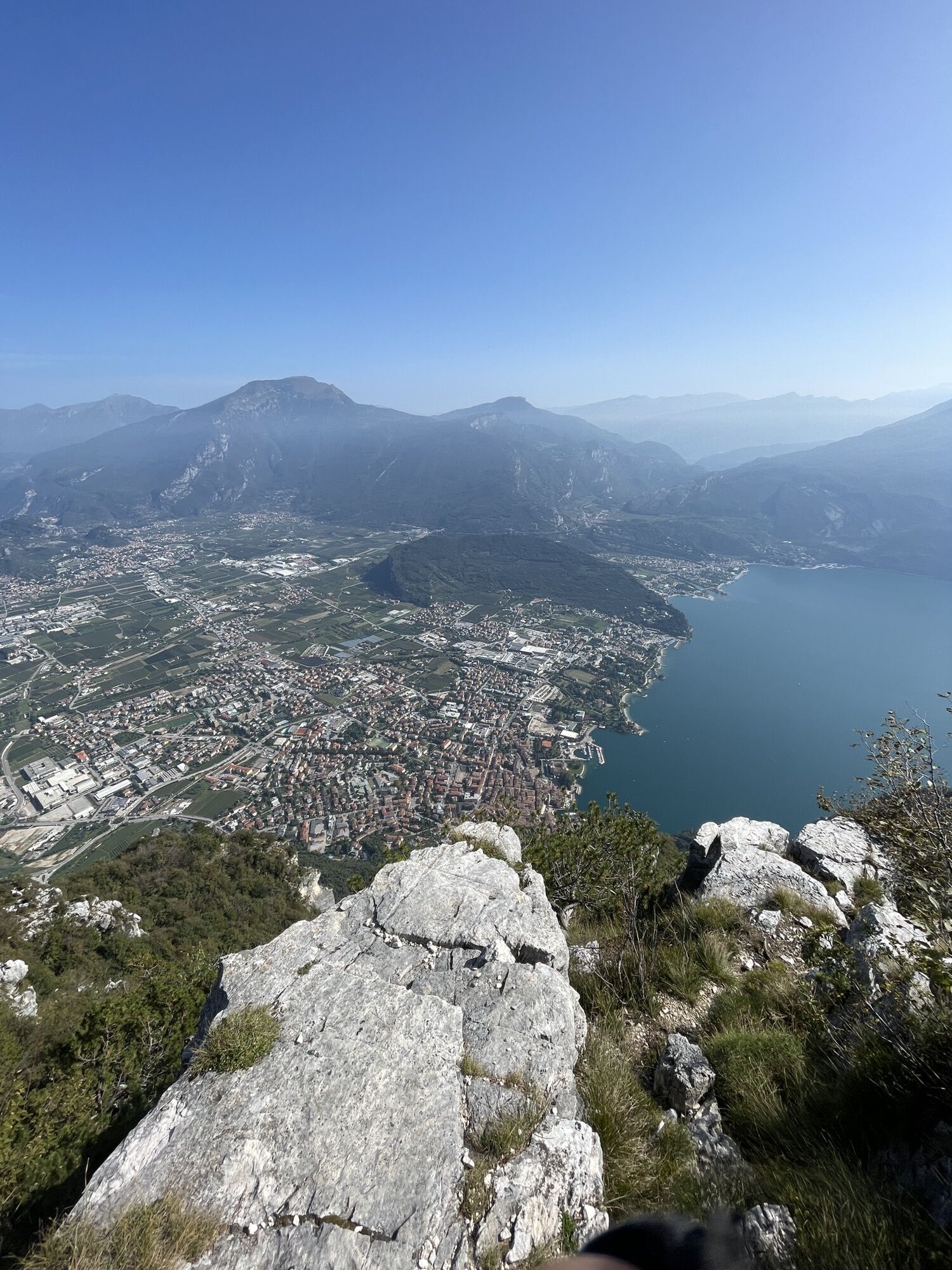
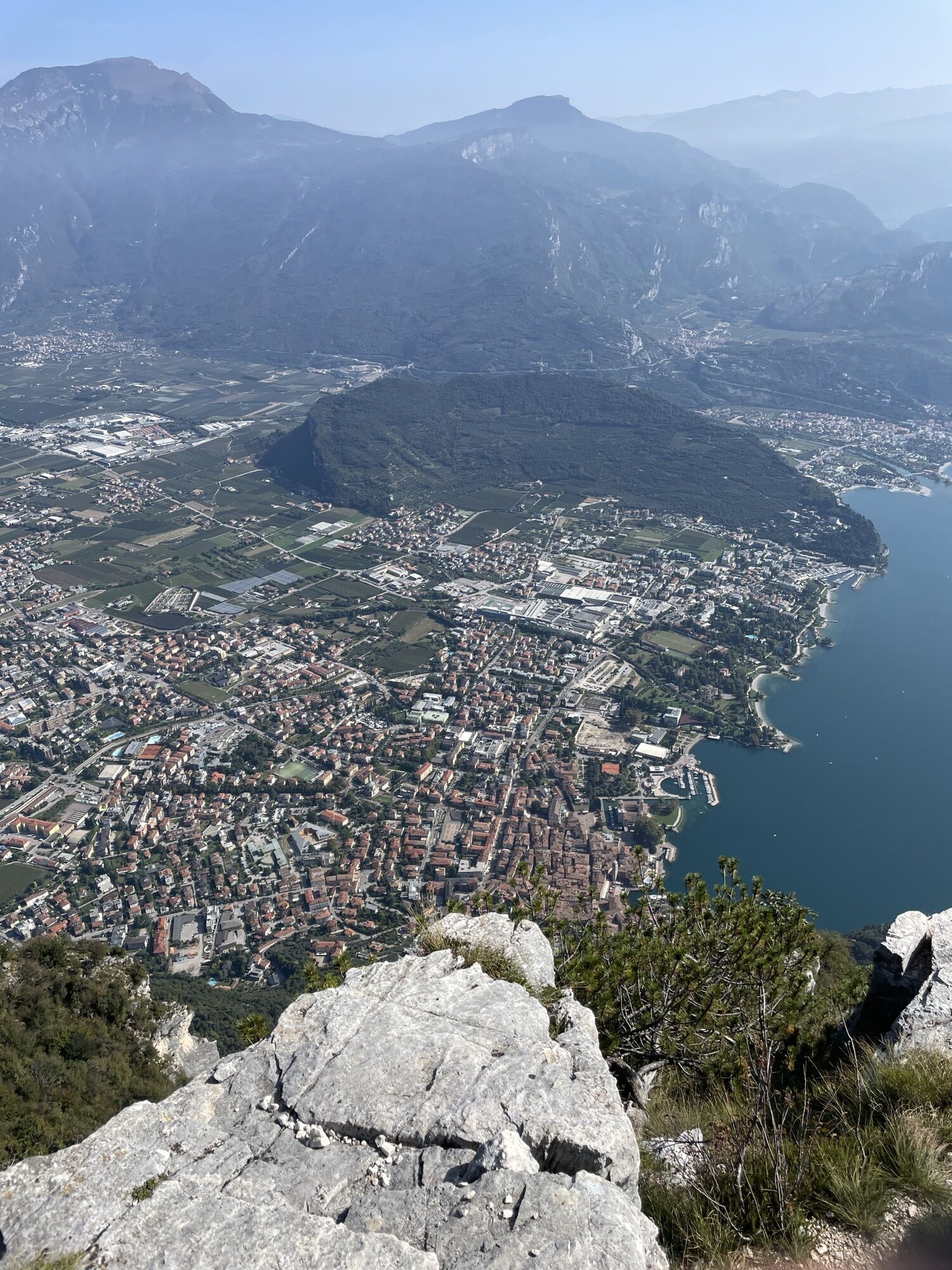
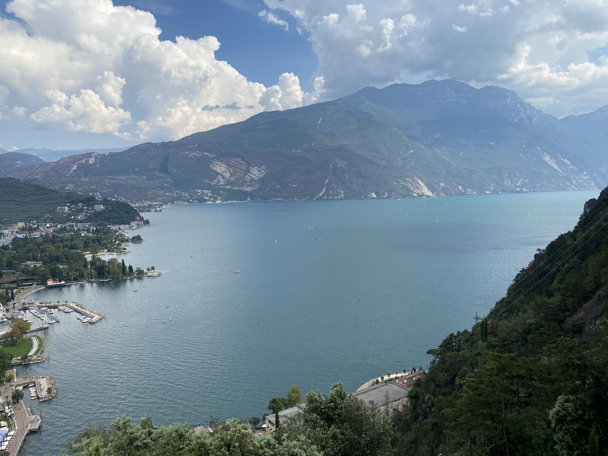
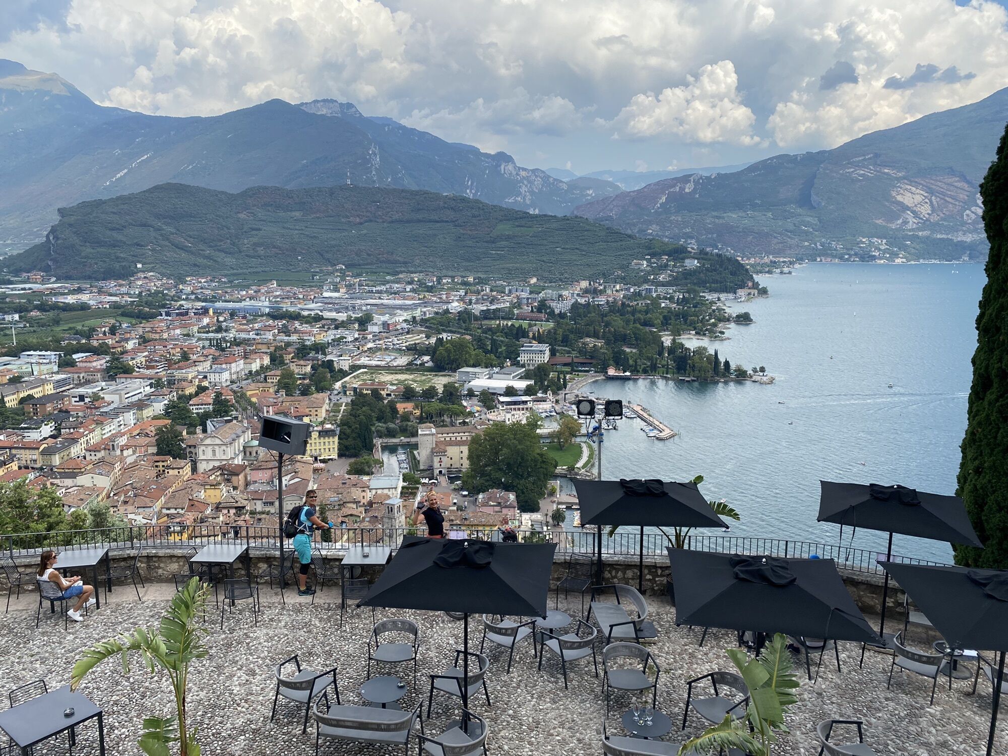
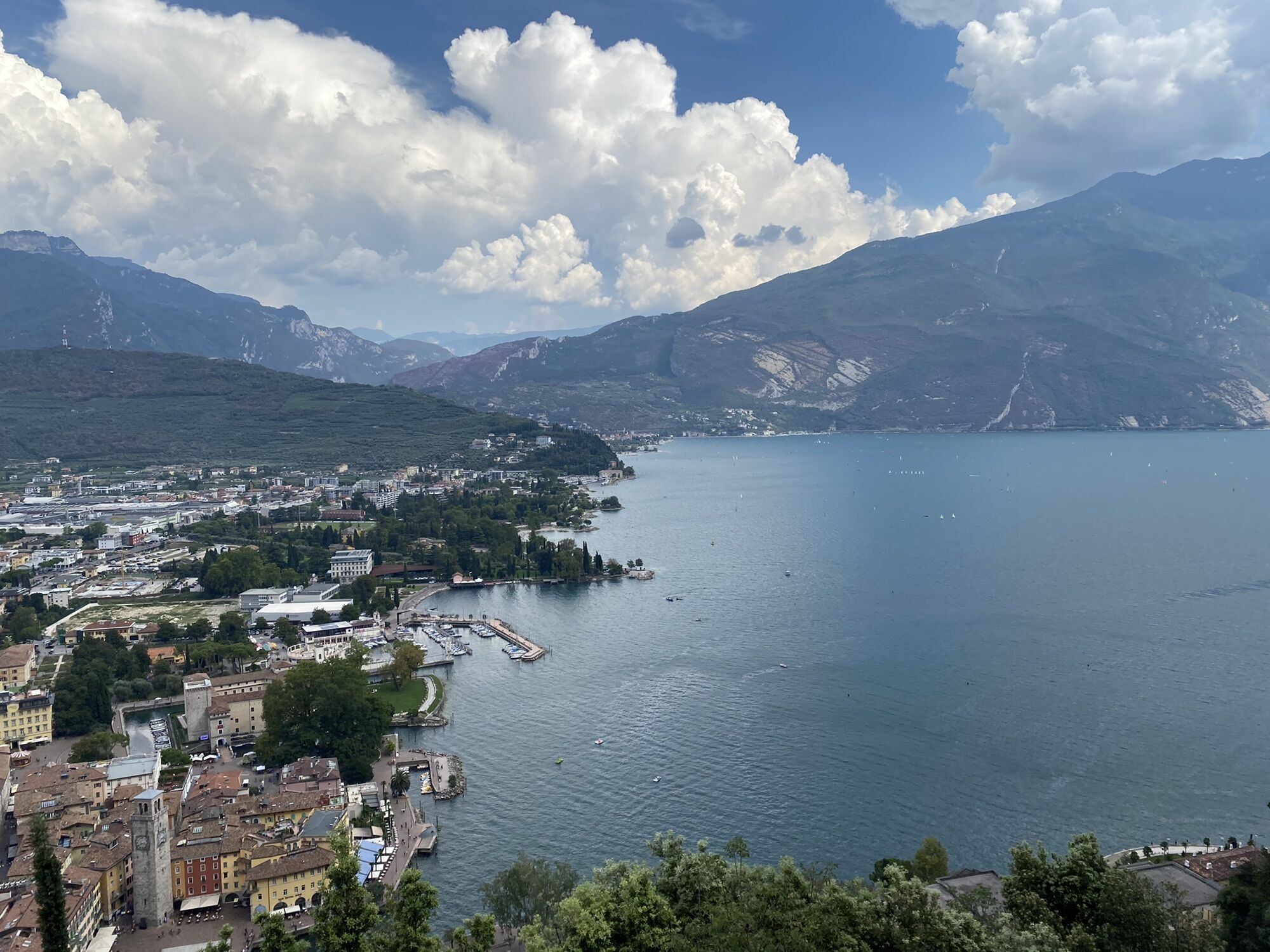
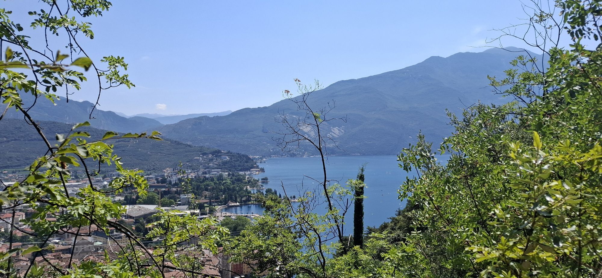
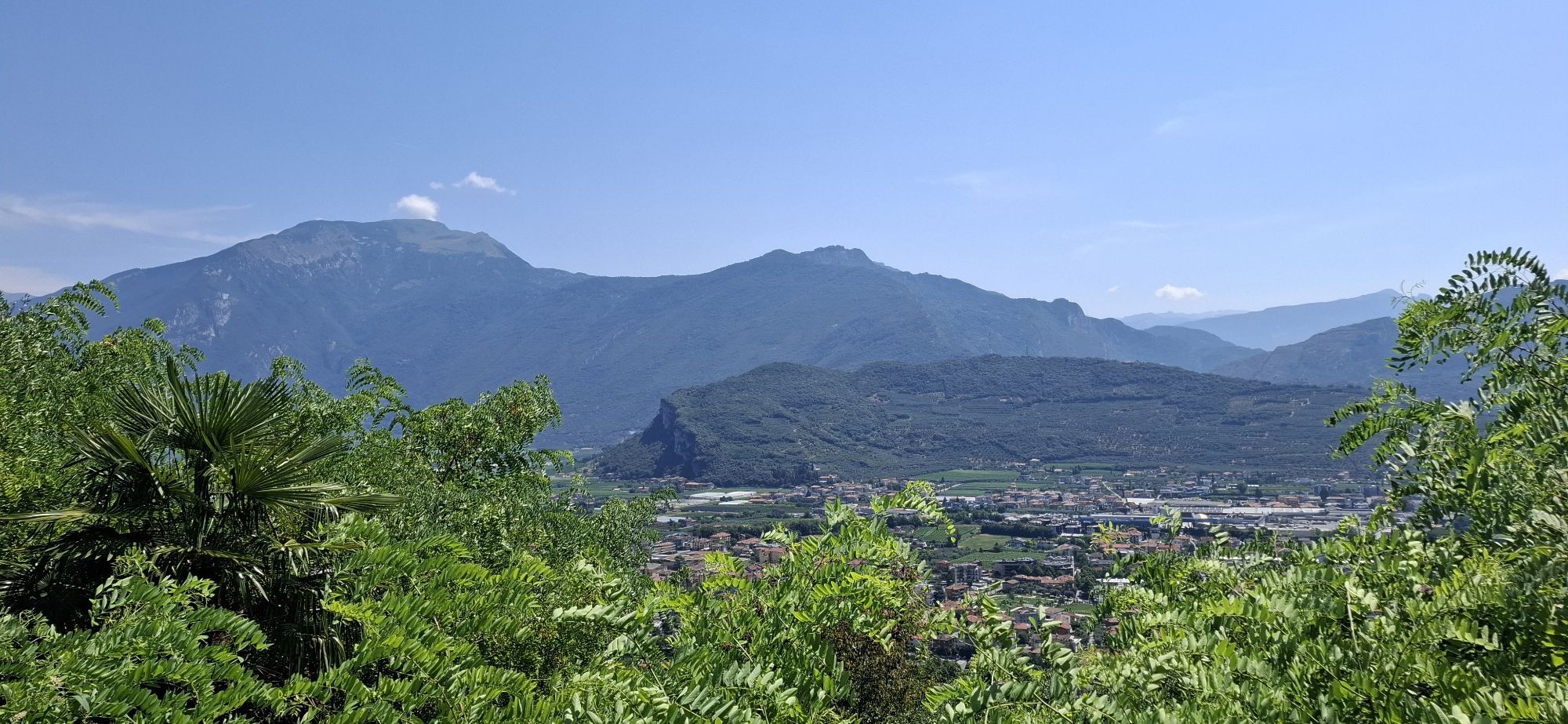
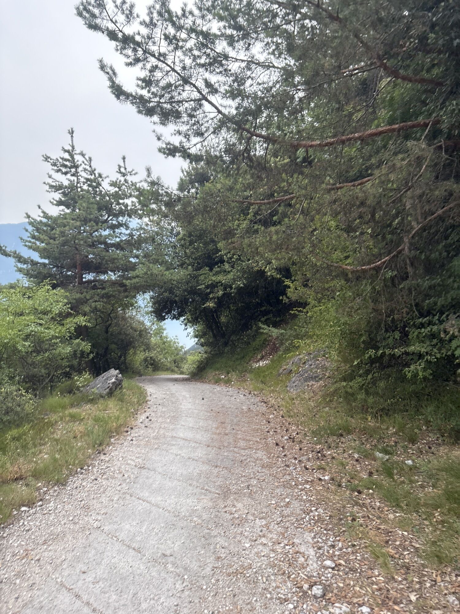
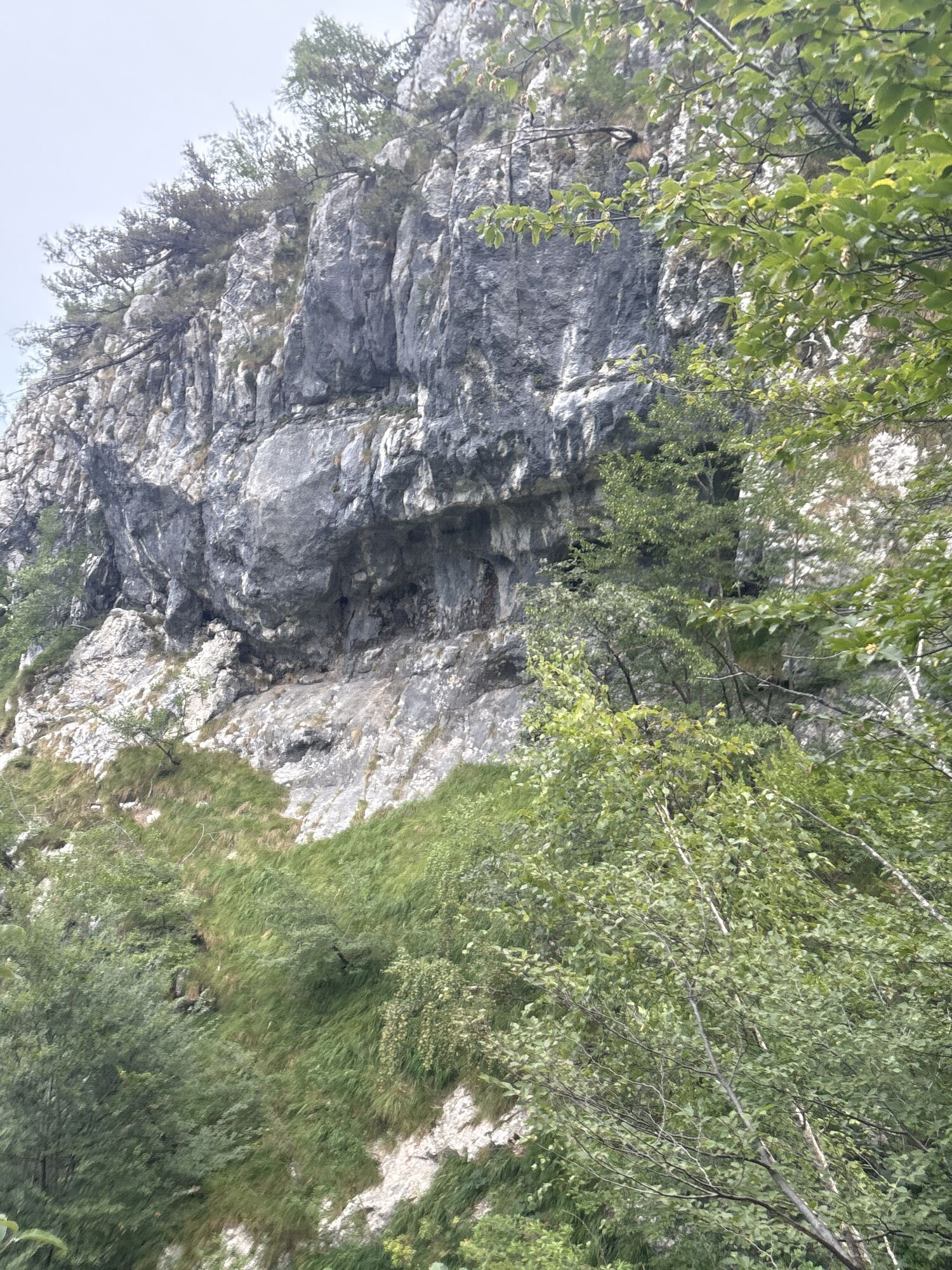
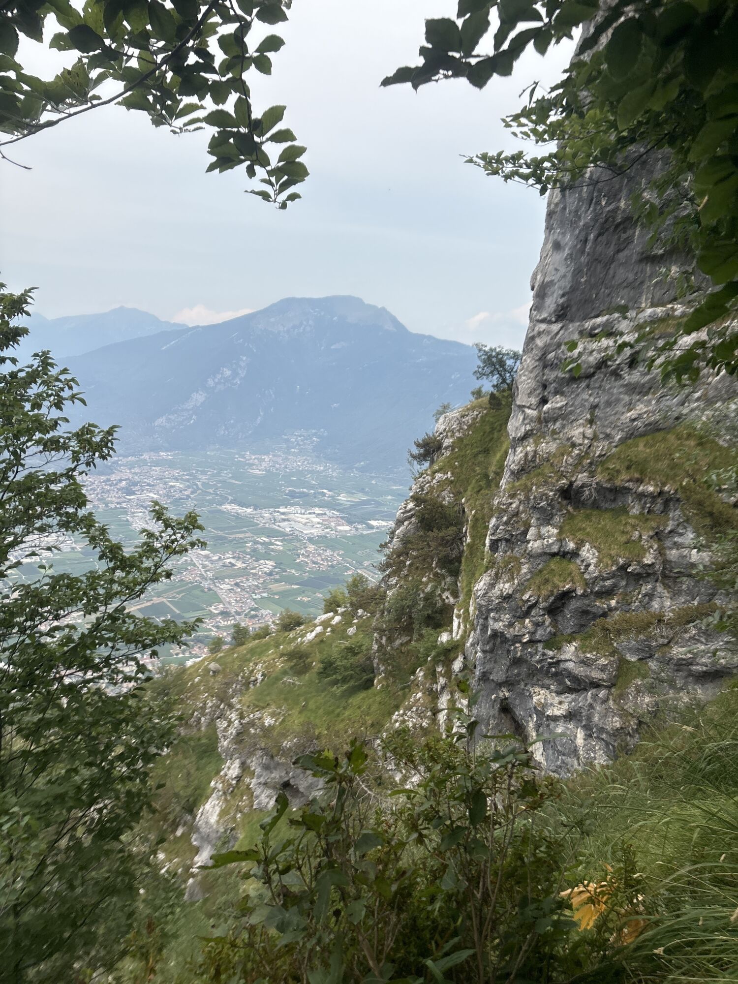
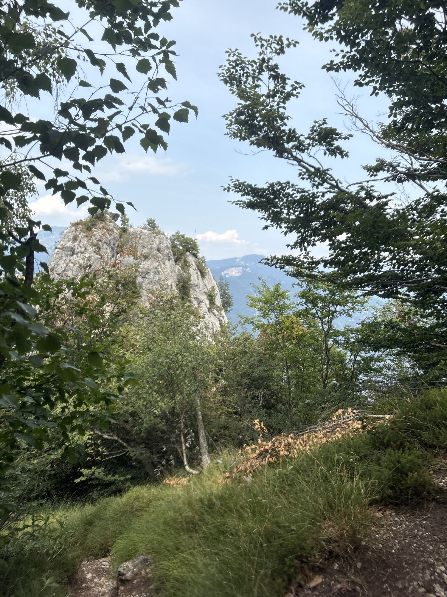
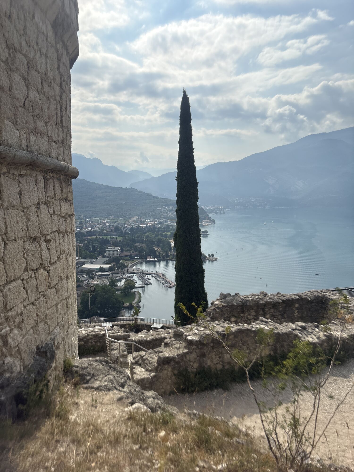
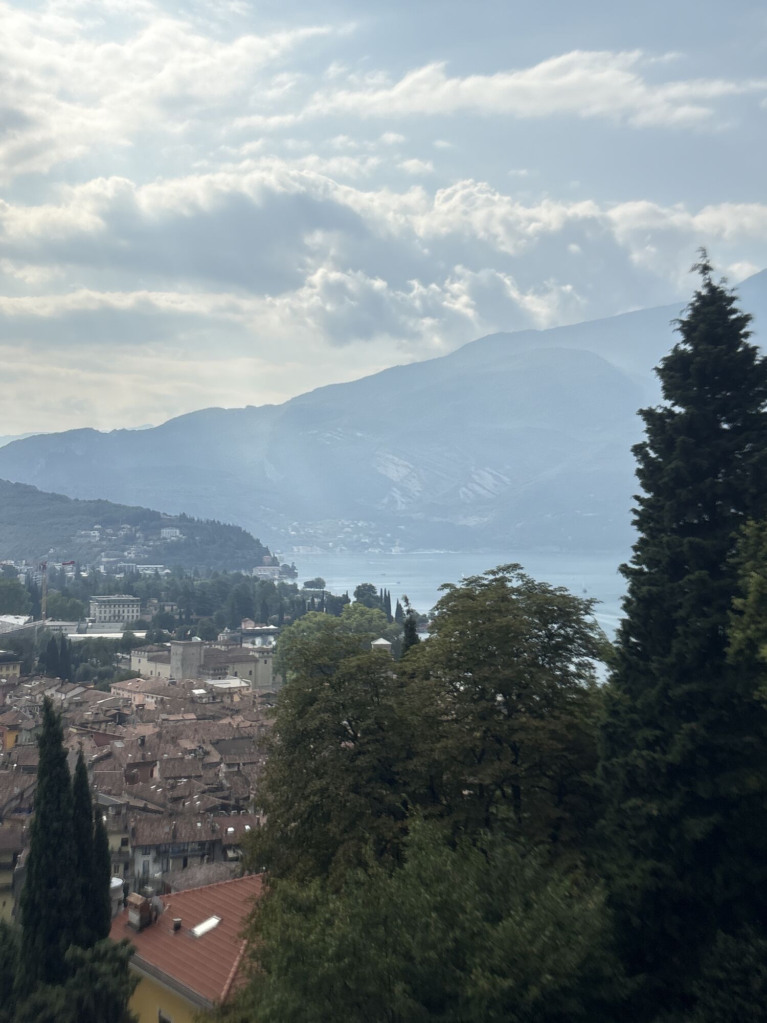
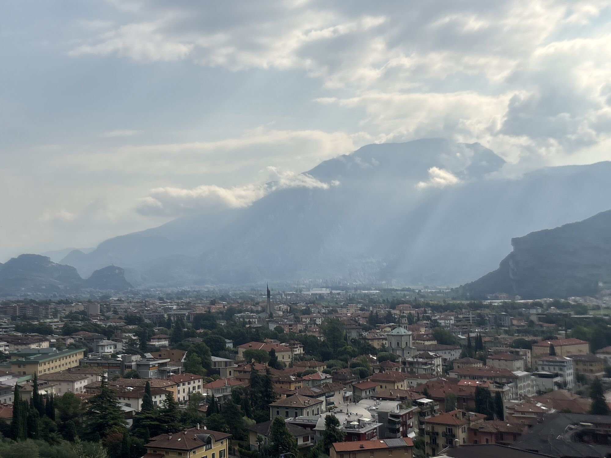
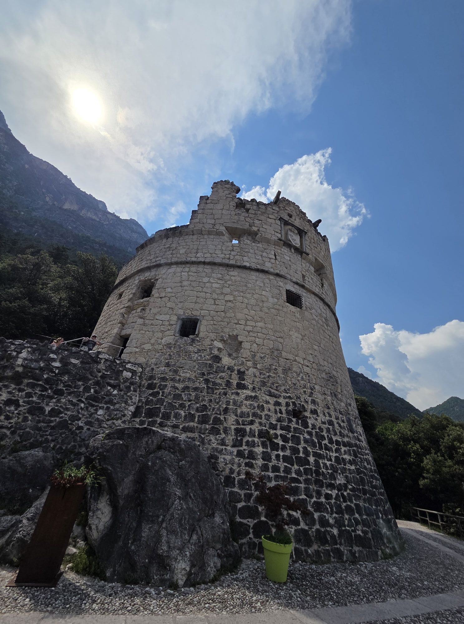
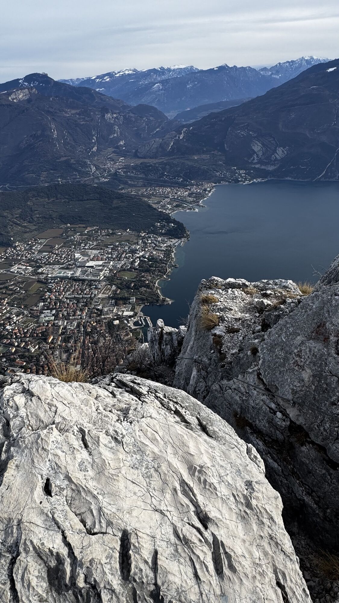
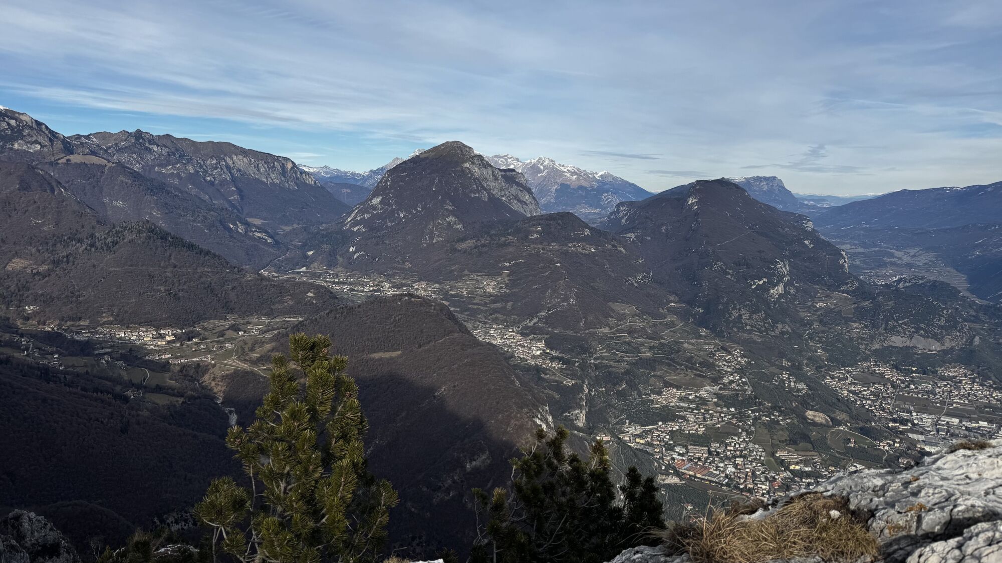
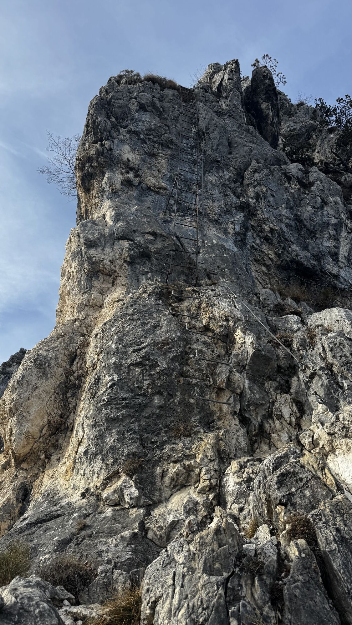
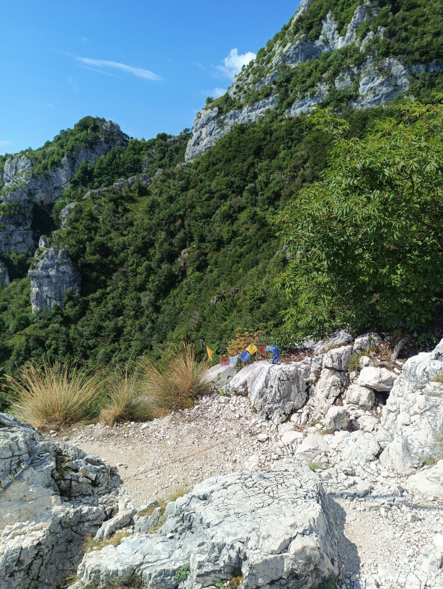
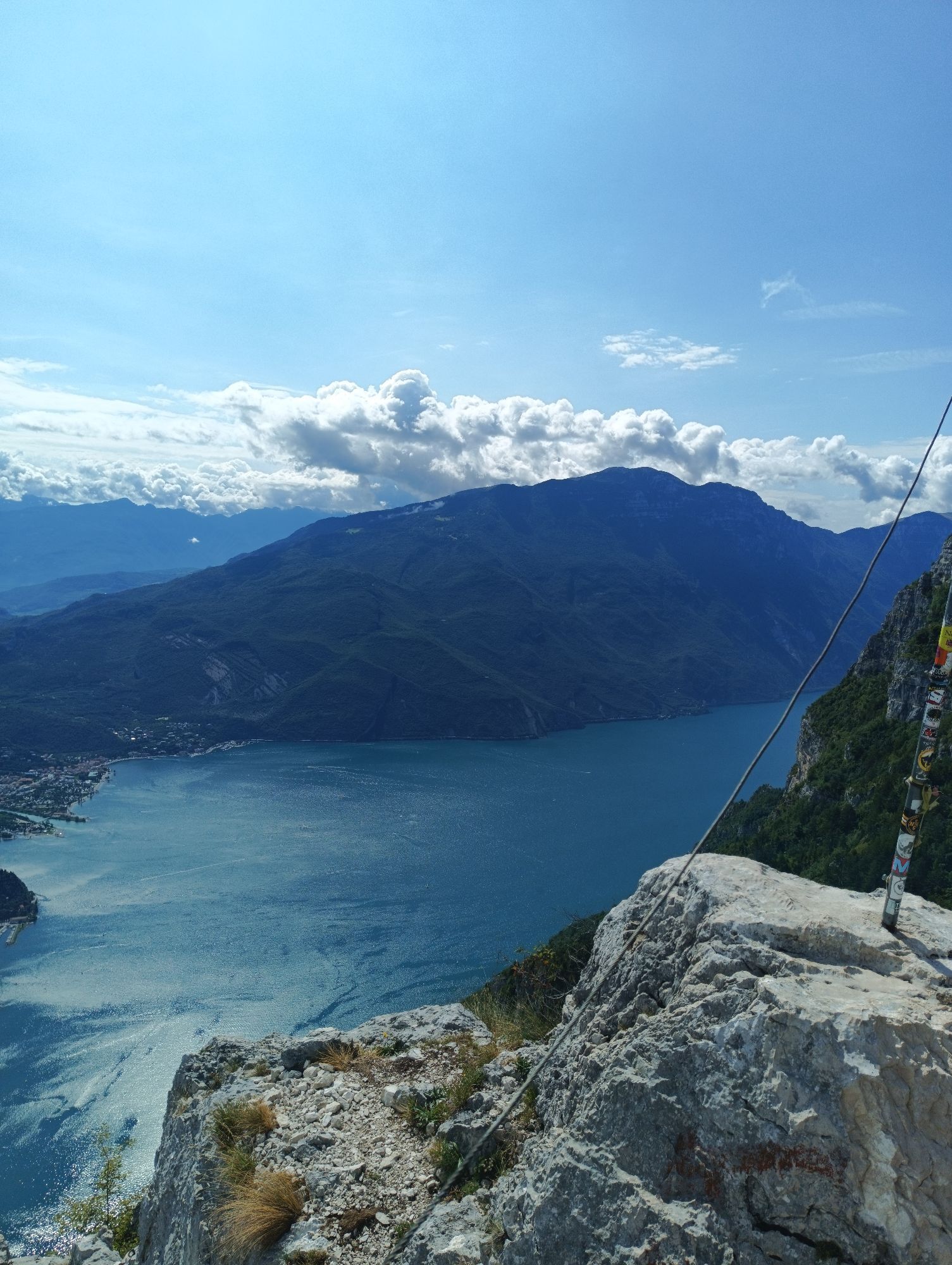
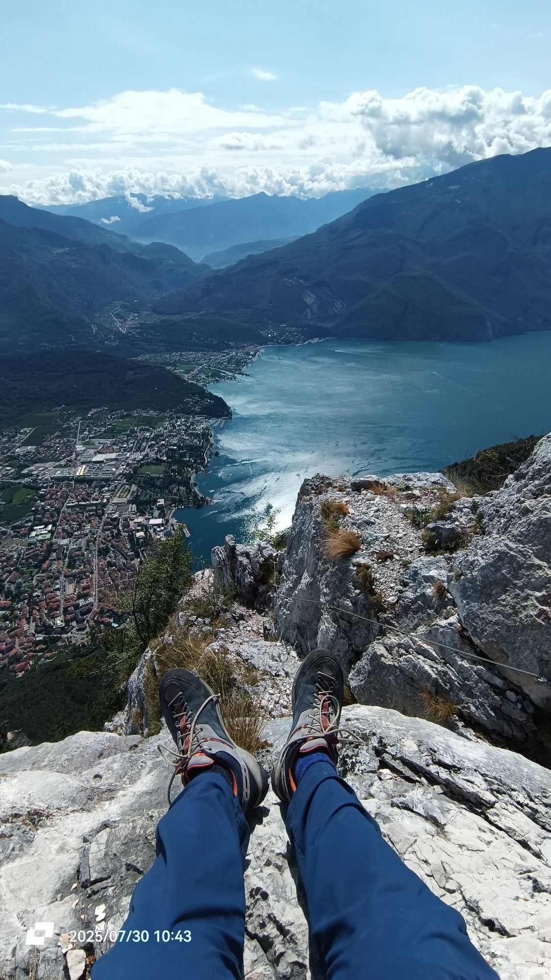
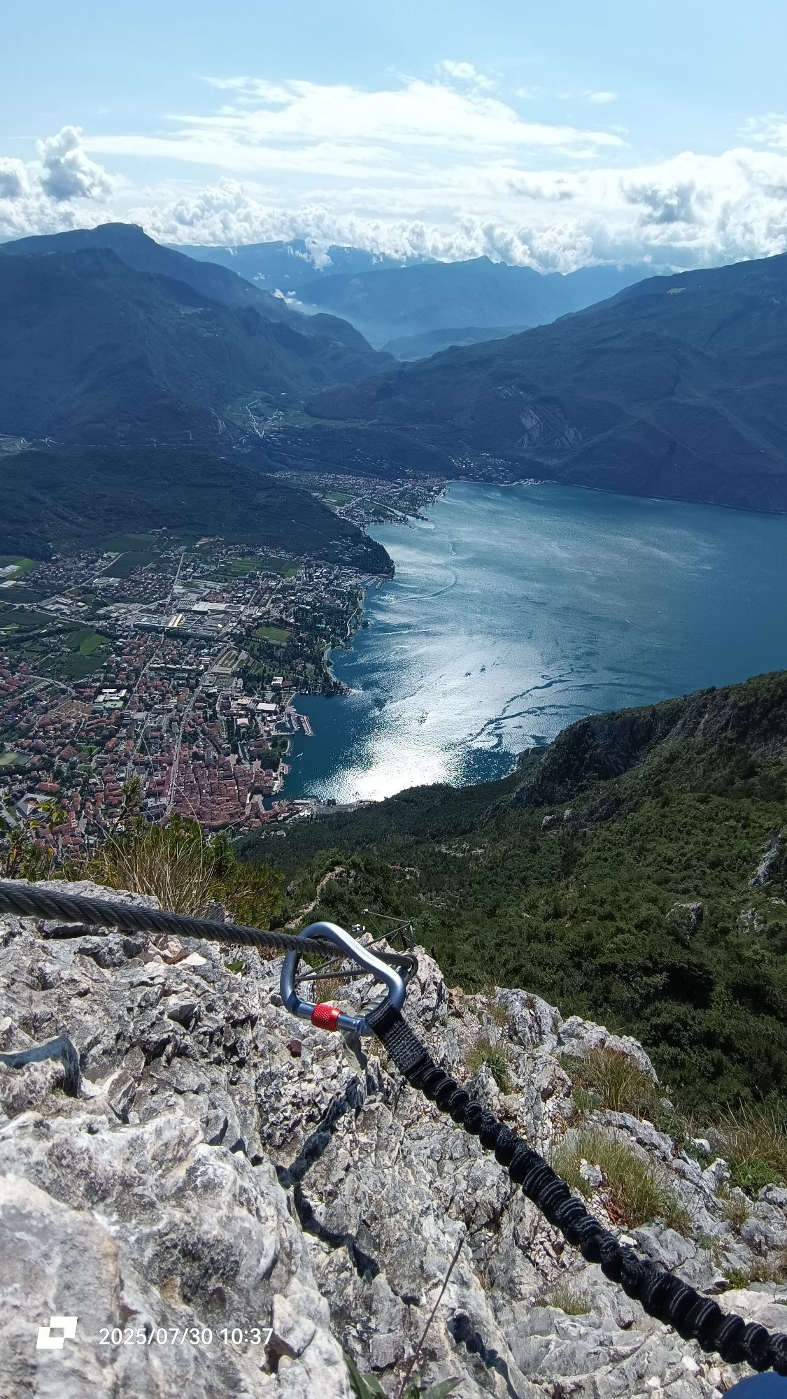

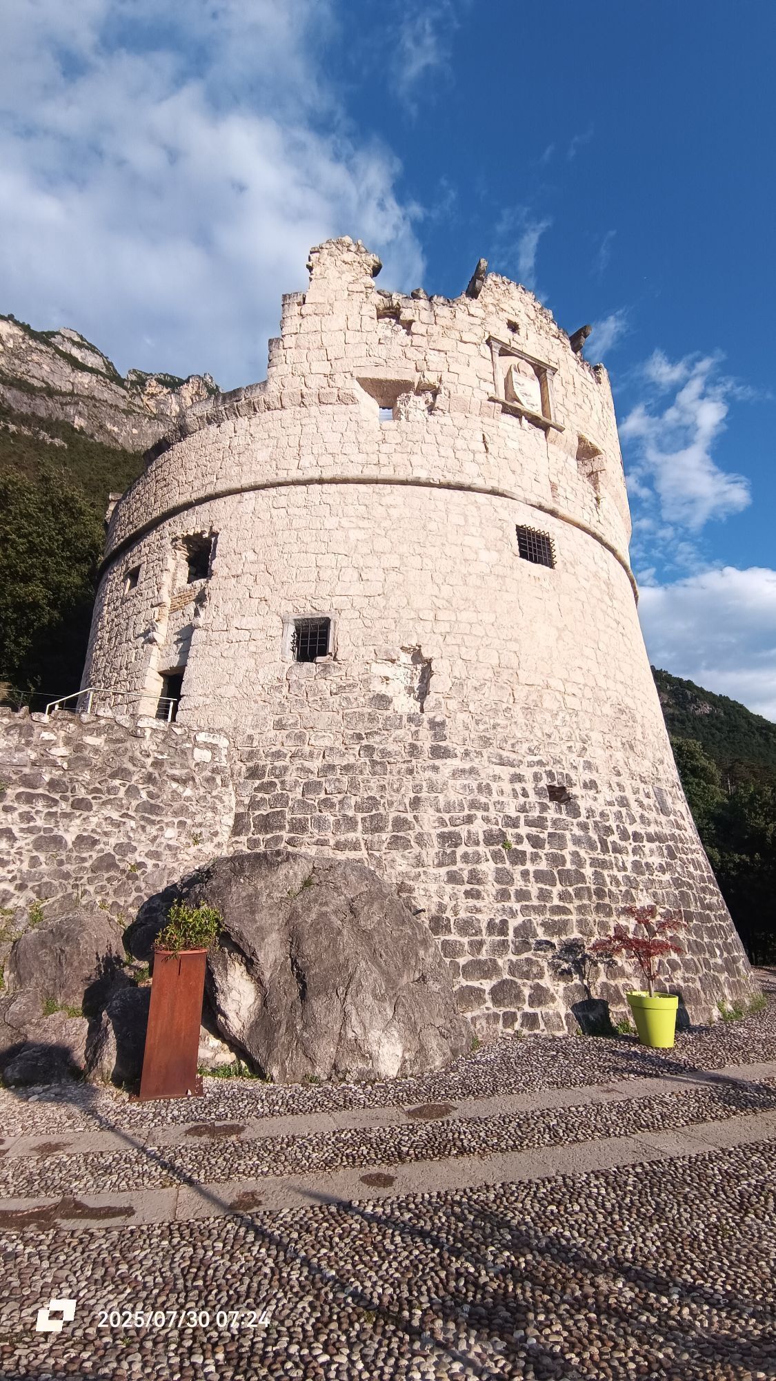
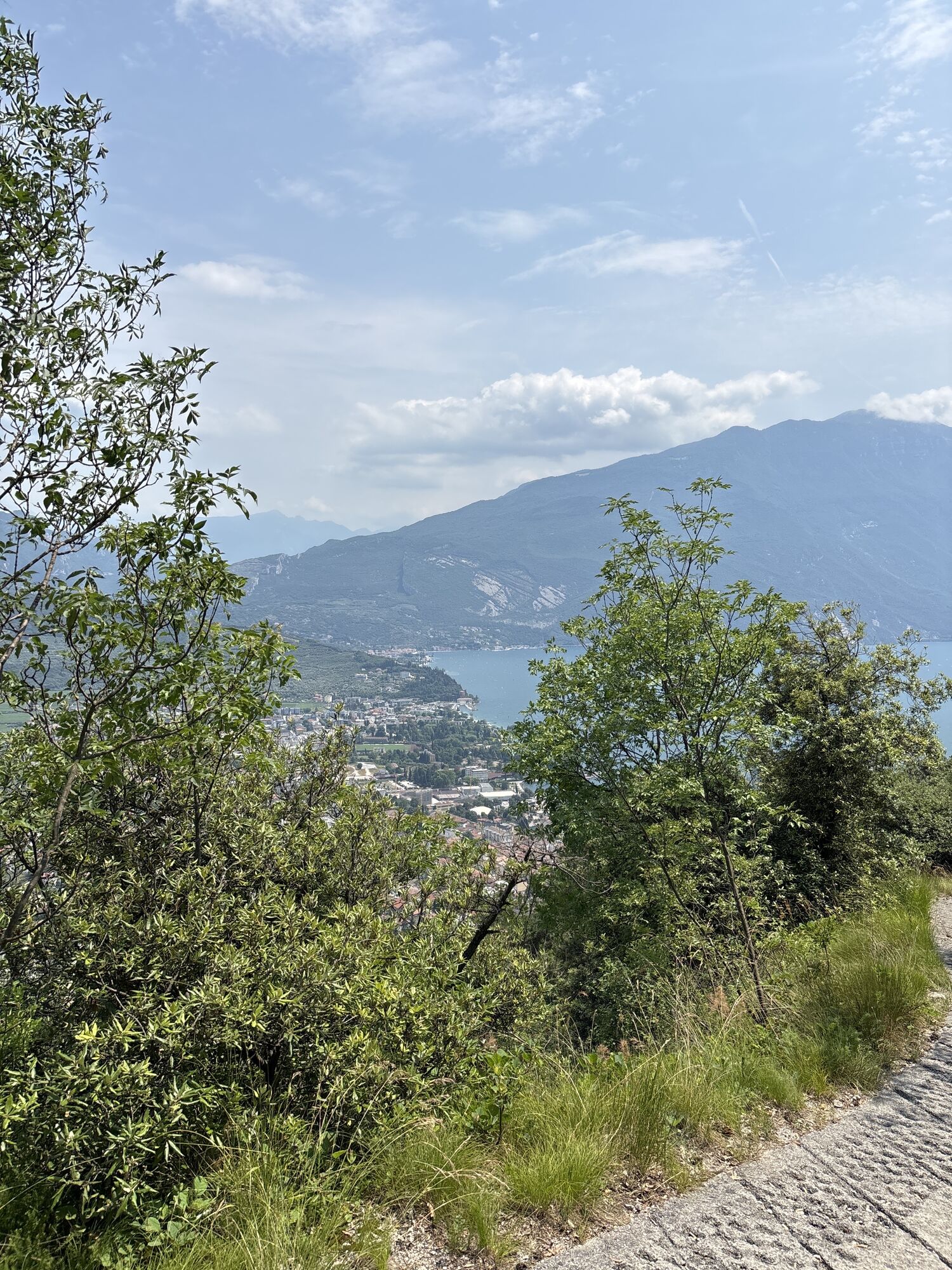
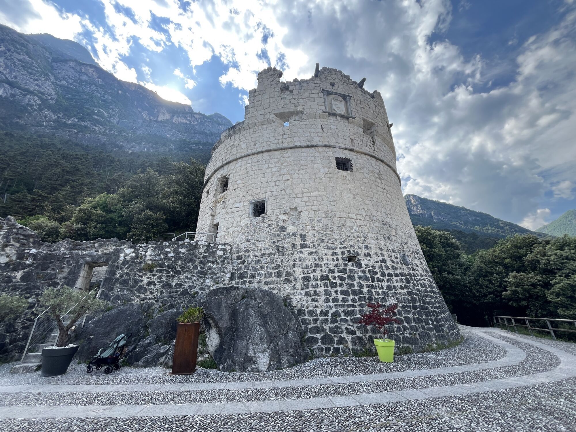
A challenging ascent to the summit of Monte Rocchetta, the mountain of the "Rivani", which offers breathtaking views but also some technical/exposed sections (the ascent of the "Crazidei").
From Foci/Santa...
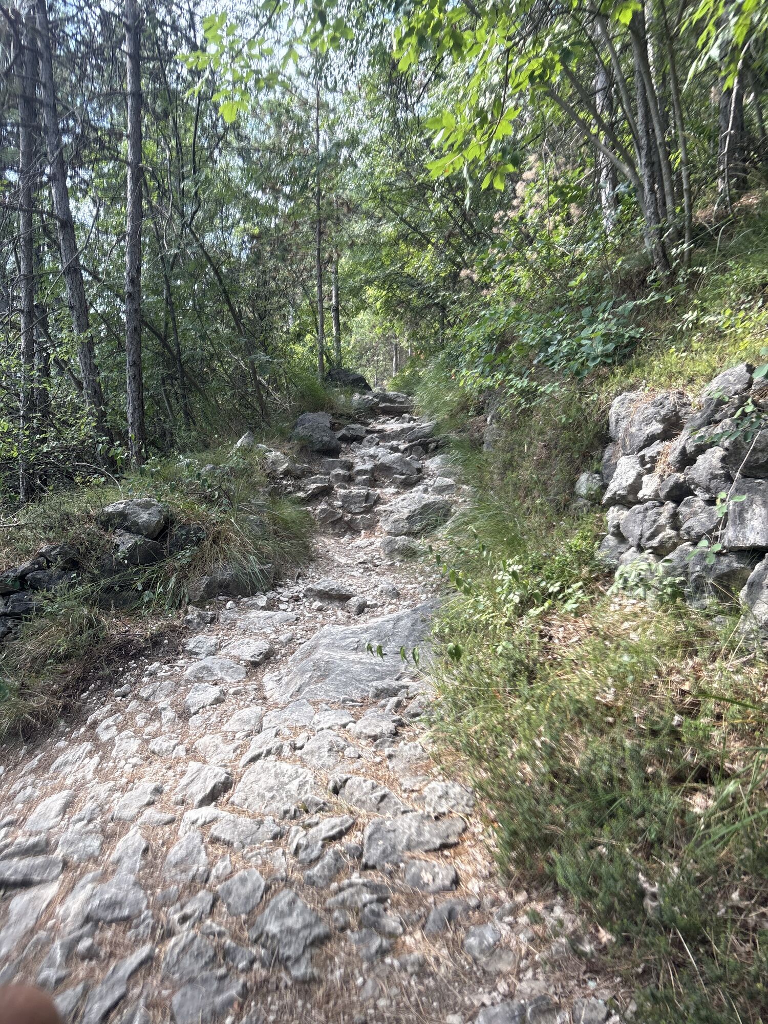
From Foci/Santa Maria Maddalena, after an initial stretch of easy path that leads to the Torrione di San Giovanni along the historic "Strada della Pinza", take the steep climb on the left. With about 95 hairpin bends one after another on the climb, it leads to the base of the Cima Sat, the arrival point of the Ferrata dell'Amicizia, which stands out with its flag.
Continuing along the forest path, after the last demanding stretch (a short climb through the woods, skirting the masonry and remnants of the borders of the Great War), you can enjoy the 360 degree view from the solitary Cima Giochello.
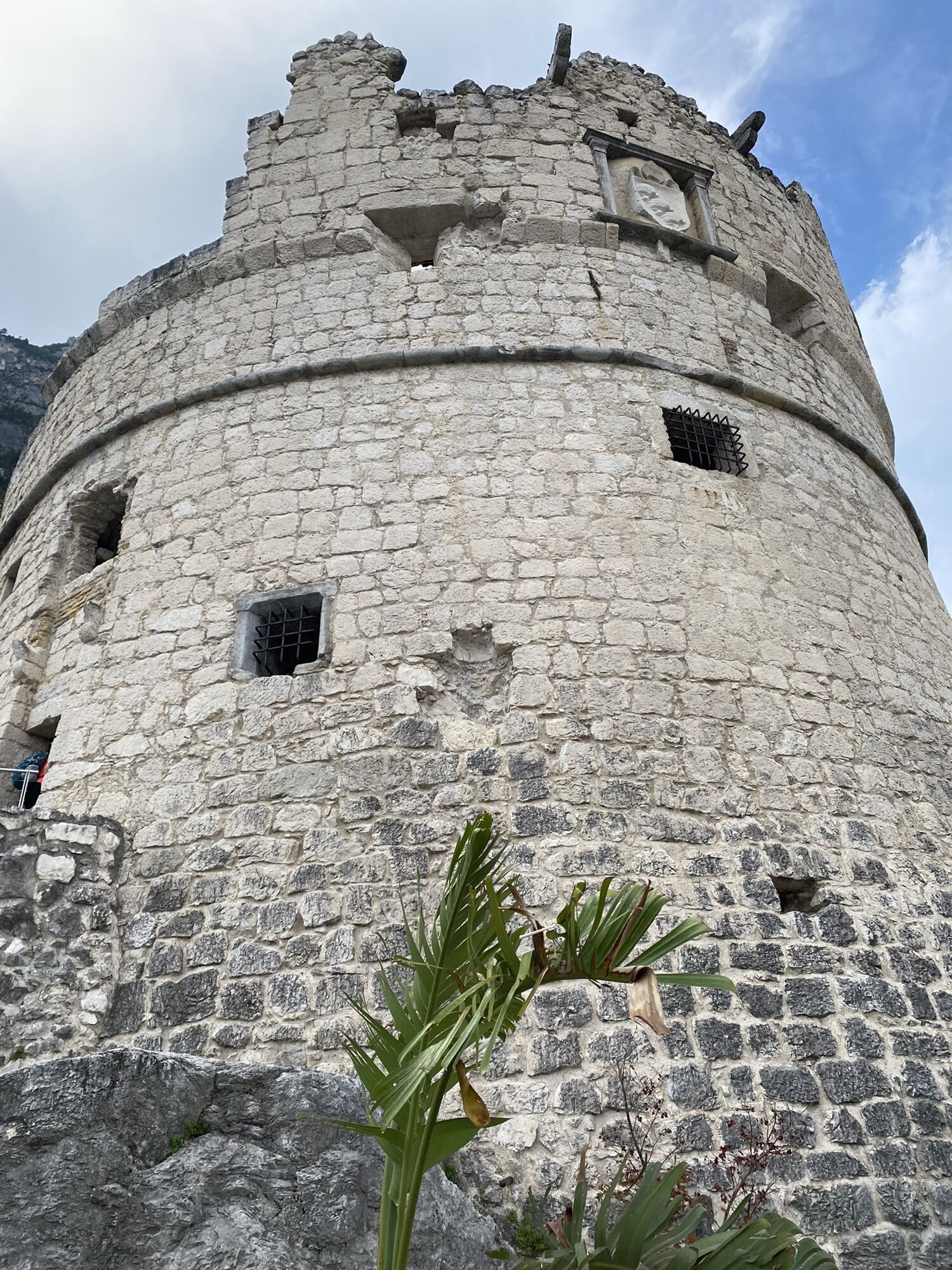
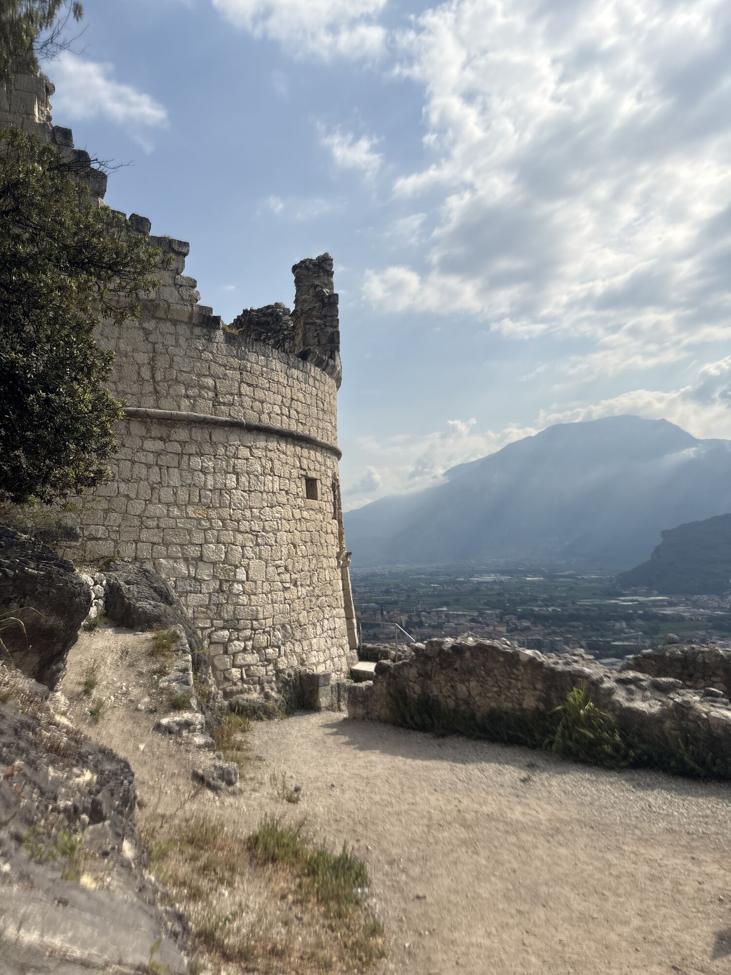
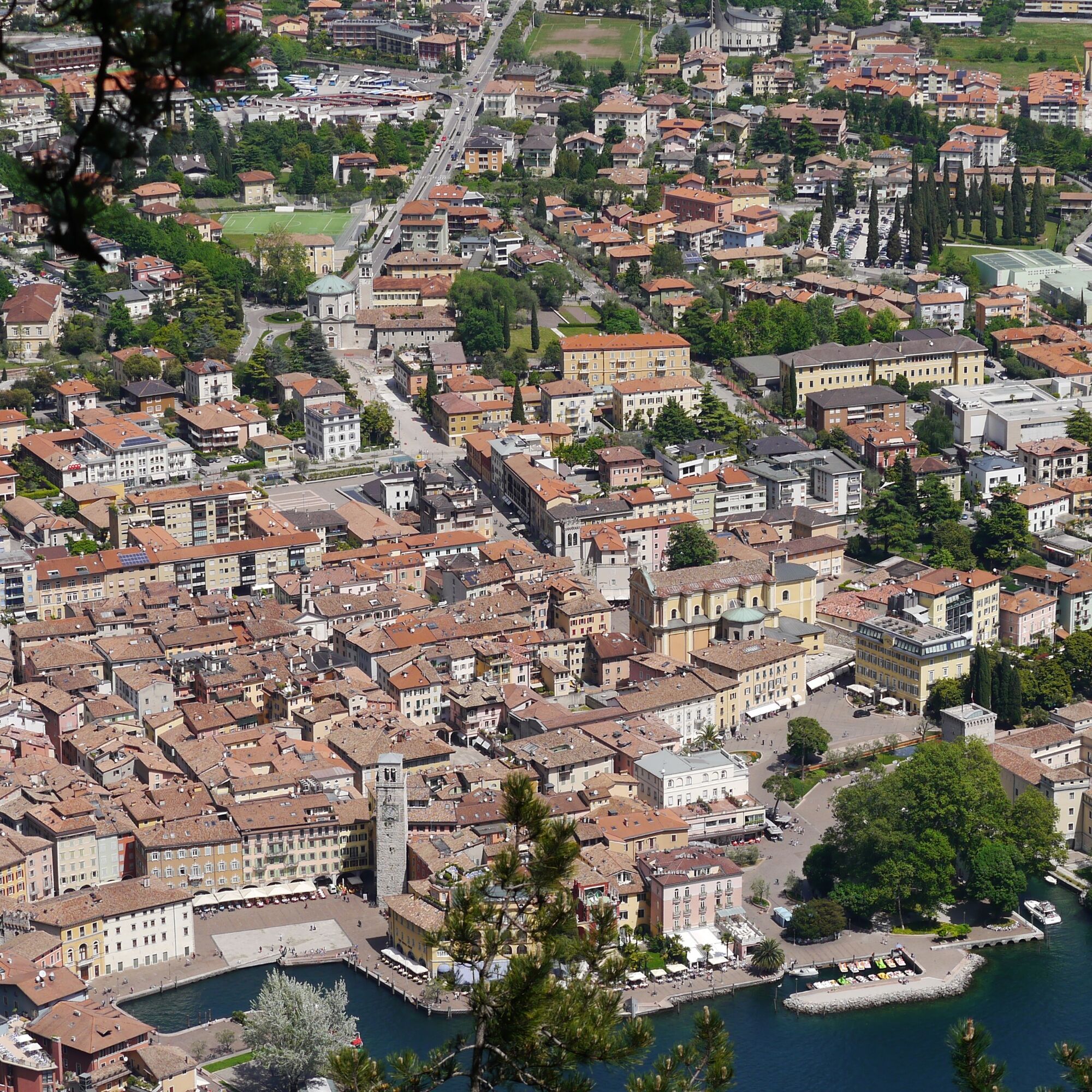
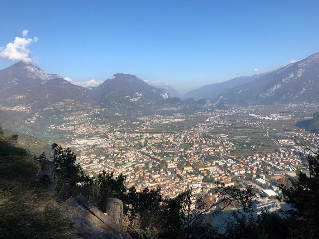
For the return journey, take the same path as for the first stretch, then continue, following the signs for Riva del Garda towards Bocca d'Enzima, with a panorama that helps you imagine the history behind such beauty, then descend to the "Fontanoni" area where there is a military depot and the "Belvedere della Grola" with a view of the town of Riva del Garda. From here, the descent is easier and less steep and, passing behind the Bastion, it quickly leads to the Santa Maria Maddalena area, from where we return to the car park.
Water points: there are none along the route, so stock up with adequate water supplies in San Giacomo (fountain at the car park).

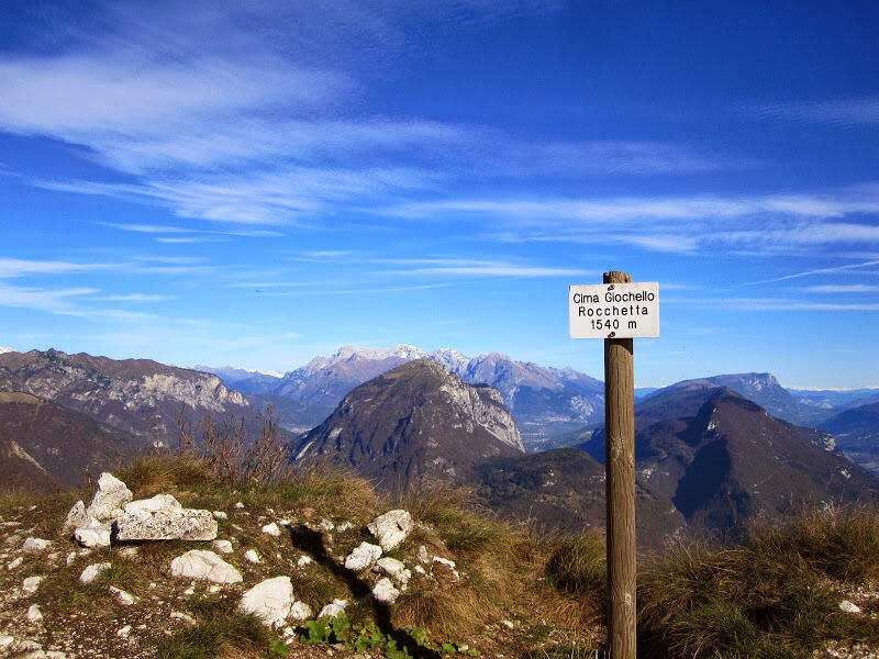
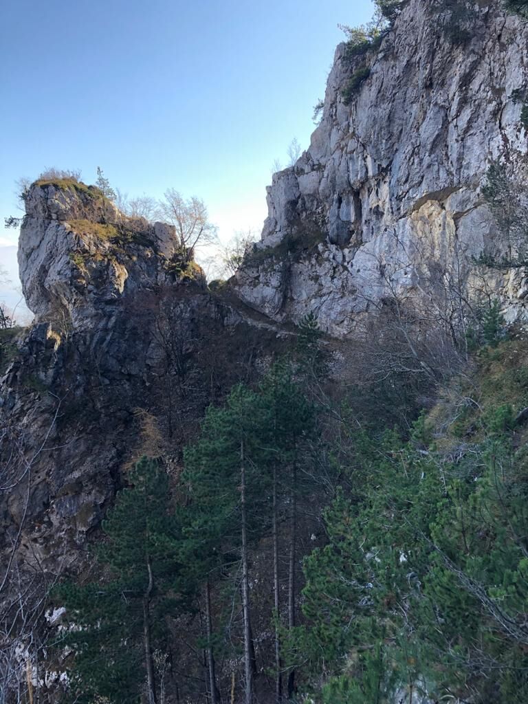
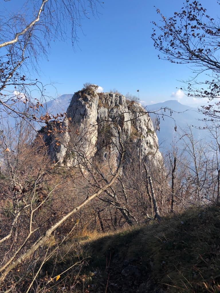
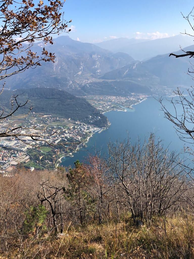
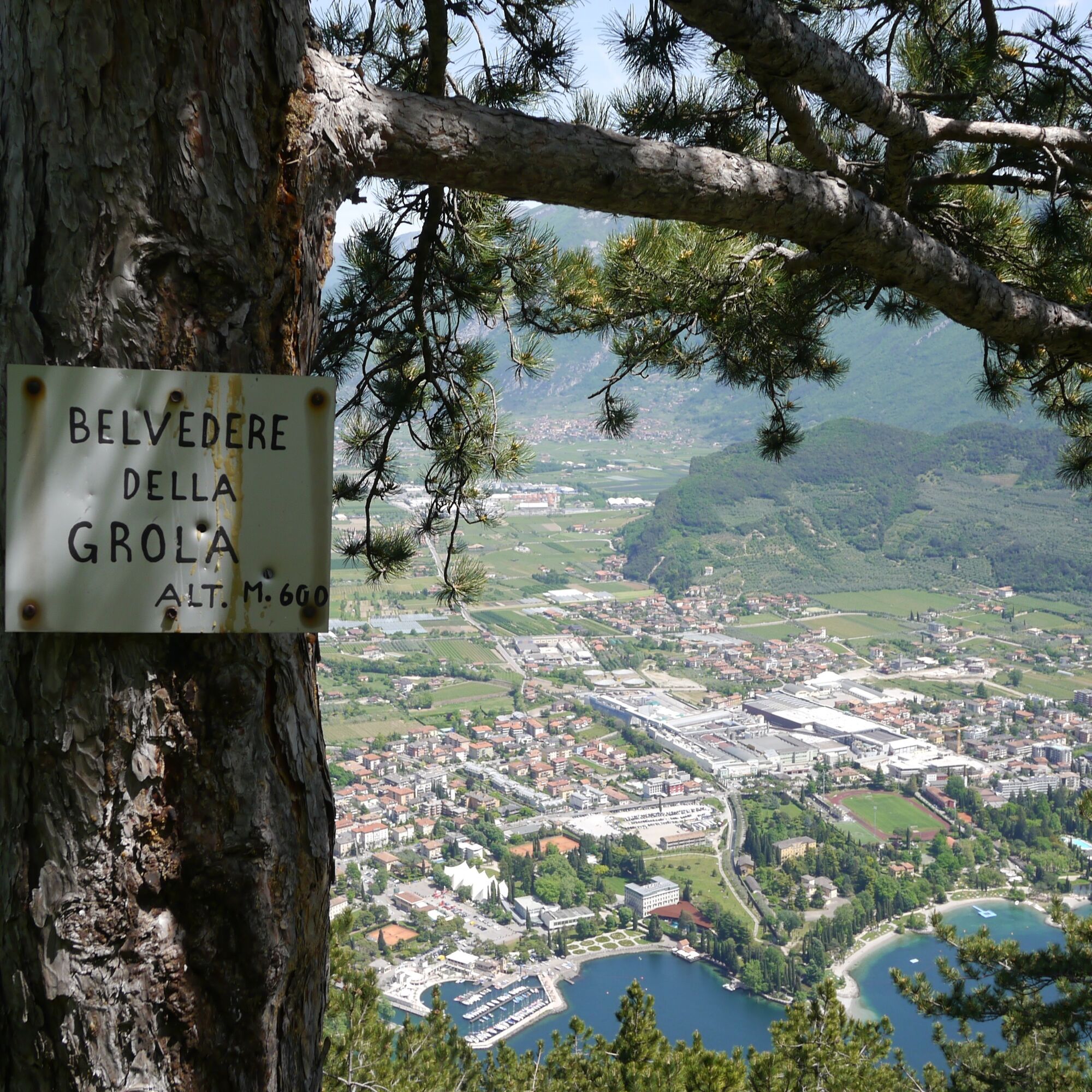
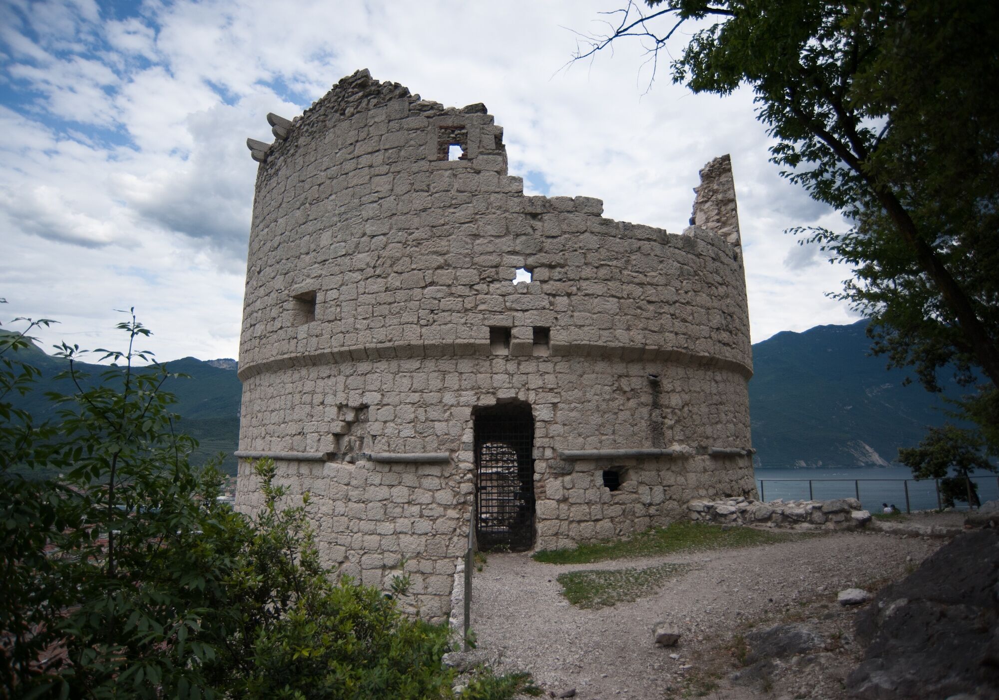

A long series of steep hairpin bends (about 95!!! be careful and give them a miss in bad weather) leads to the bottom of Cima Sat. Continue into the woods and, at the fork, take the SAT 413 trail to the right towards Cima Giochello, following it backwards to continue along the SAT 404 trail (follow the signs for Riva del Garda/Capanna Santa Barbara).
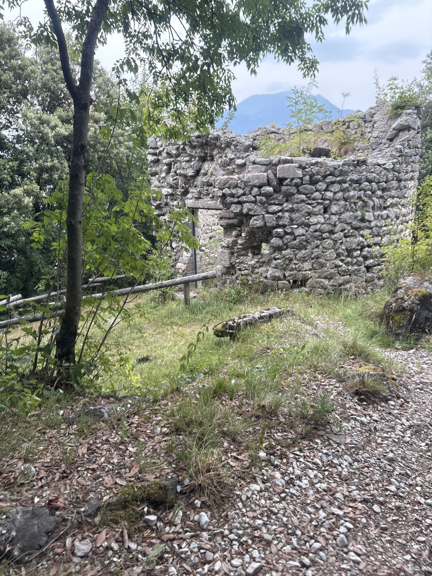
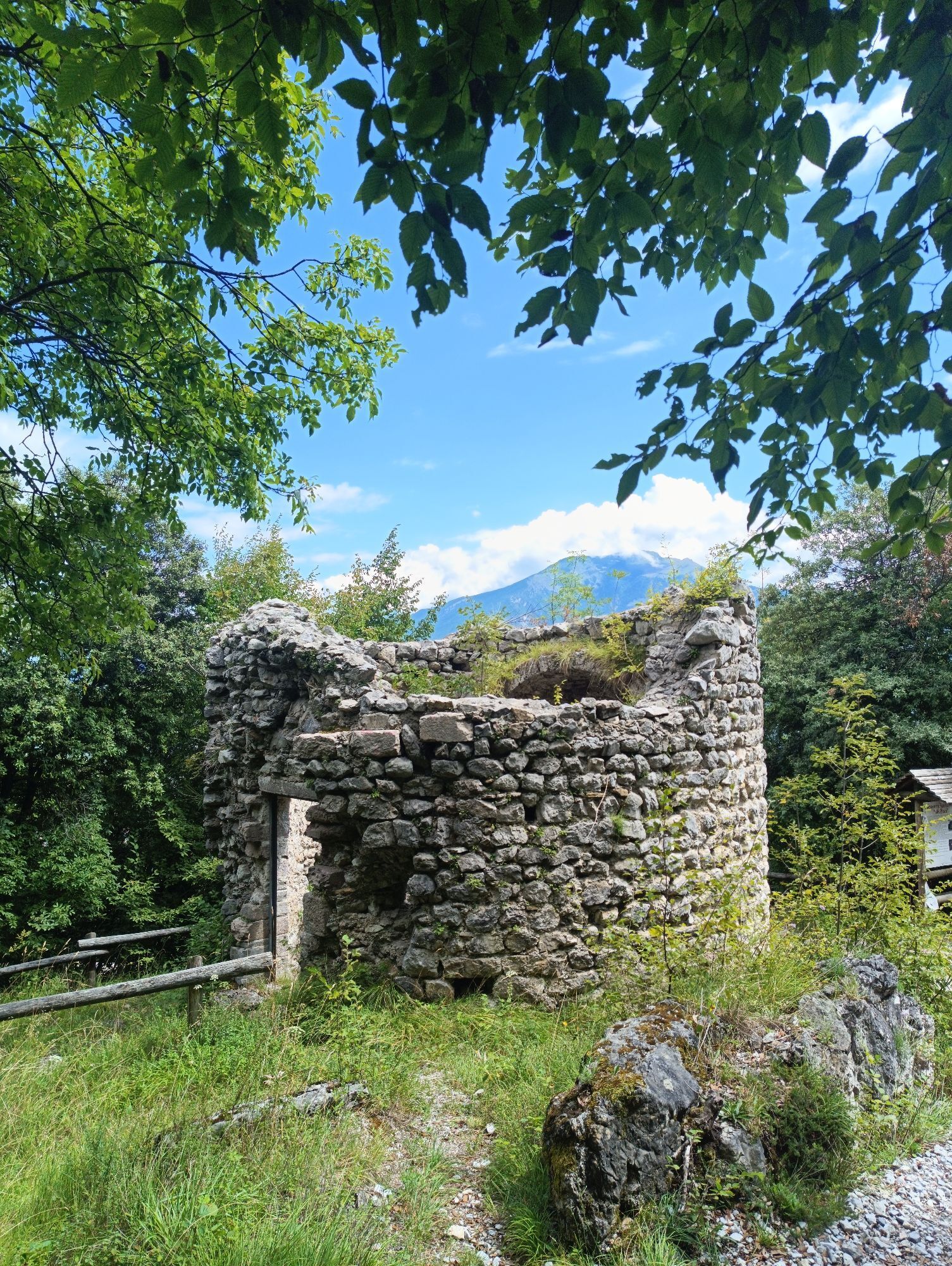
At the fork, continue straight ahead on trail 404 A (Cima Capi-Bocca d'Enzima) and at the next fork, instead of going up towards Bocca d'Enzima, descend to the left, following the signs for Riva del Garda. After descending along the cemented ramp, continue straight ahead along the forest road that leads back to the ruins of the small church of Santa Maria Maddalena and finally to Foci/San Giacomo, as far as the car park.
Ano
Ano
The information on this chart is subject to inevitable variations, so this means that none of the indications are absolute. It is not entirely possible to avoid giving inexact or imprecise information, given how quickly environmental and weather conditions can change. For this reason, we decline any responsibility for changes which the user may encounter. In any case, the hiker is advised to check the conditions of the places, environment and weather before setting out.
Getting to northern lake Garda / Garda Trentino: www.gardatrentino.it
For up-to-the-minute information on timetables and routes: www.gardatrentino.it
You can also get to Riva del Garda and Torbole sul Garda by the public ferry service. For up-to-the-minute information on timetables and routes: www.gardatrentino.it
Parking space in San Giacomo
The first section follows the historic "della Pinza" road, an ancient communication route between Riva del Garda and the village of Campi.
Získejte přehled
Vždy živě na místě s více než 9 500 webkamerami. bergfex Jako uživatel Pro si nyní můžete zobrazit odpovídající webové kamery pro mnoho prohlídek v aplikaci prohlídky z. Můžete si tak přímo prohlédnout aktuální podmínky.
Oblíbené prohlídky v okolí
-
5.0
Bastione and Santa Barbara, the lords of Riva del Garda
středníTuristika 2.94 km -
5.0
Via Ferrata Signora delle Acque - Rio Ruzza
heavyVia ferrata 5.32 km -
4.8
Bocca Fortini - Tour
heavyMountainbike 35.4 km -
4.8
Sentiero Busatte Tempesta
světloTuristika 7.90 km -
4.8
Via Ferrata Rio Sallagoni
středníVia ferrata 2.75 km -
4.7
Via Ferrata Fausto Susatti - Cima Capi (from Ledro)
středníVia ferrata 7.11 km -
4.6
Via Ferrata delle Laste e Gallerie di Cima Rocca
světloVia ferrata 6.38 km -
4.5
Walking around Lake Ledro
světloTuristika 9.40 km -
4.9
Via Ferrata dell’Amicizia - Cima SAT
středníVia ferrata 4.41 km -
4.4
Tremalzo Big - Tour
heavyMountainbike 45.6 km
Pěší turistika a stopování


Nenechte si ujít nabídky a inspiraci pro vaši příští dovolenou
Vaše e-mailová adresa byl přidán do poštovního seznamu.





