


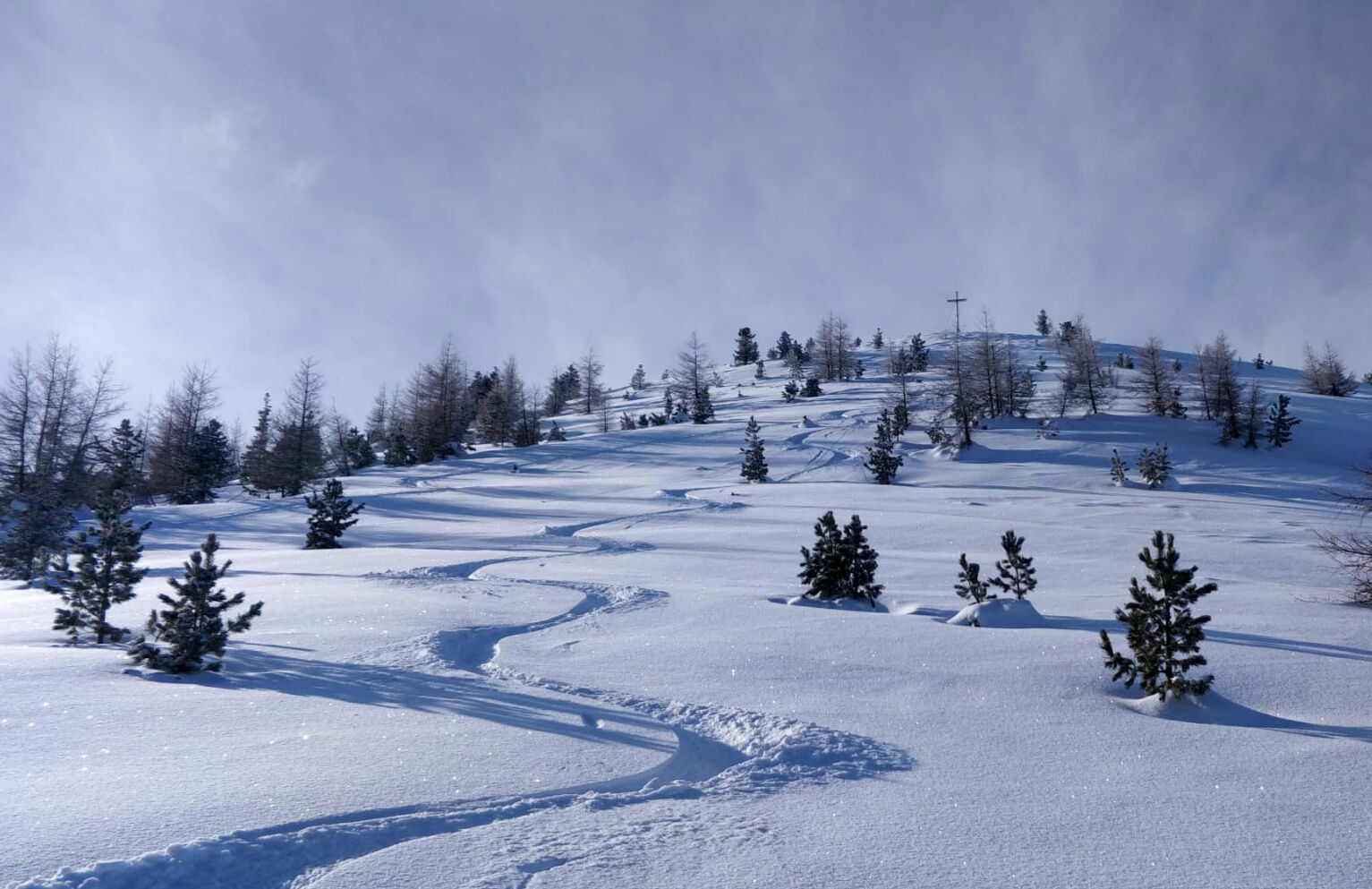
Monte Cogne
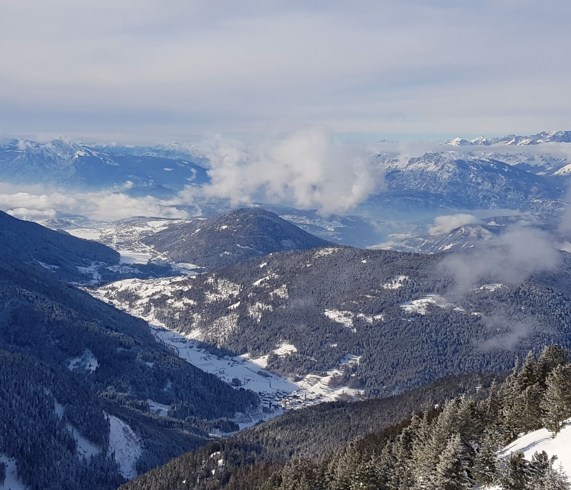
The panoramic route on "the border" of Val di Fiemme allows you to reach the top of Monte Cogne. From up there you can admire the amazing view of the Lagorai chain, the Cembra Valley and the Pinè Plateau.
WAY UP From Bait del Manz go on the forest road in the wood with some ups and downs and several hairpin turns. Ignore on your right-hand the two tiny roads to Malga Vernera and on your left-hand the path to Malga del Coston. Go on to the main forest road, with steeper parts, until you reach Malga Sass (alpine diary).
From the Malga walk southern for a few hundred meters, then turn right in the wood on a track which leads to Passo di Mirafiori (passo Vasoni or la Bassa). From this wide passage, between Monte Cogne and Pala delle Buse, climb up on the right side of the ridge, looking for less steep parts, and reach the cross of Monte Cogne, better known as Cimatti.
Ano
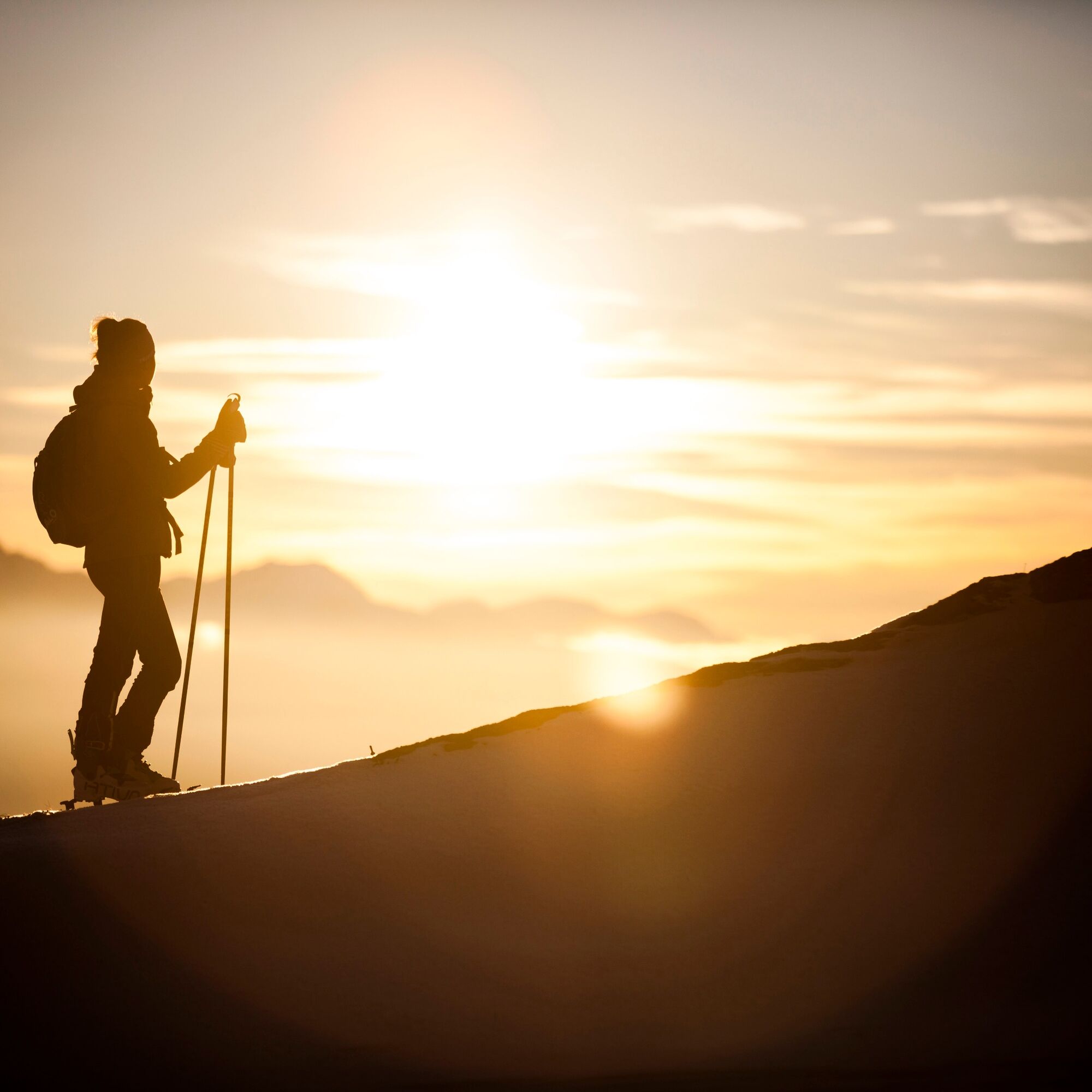
For all ski-mountaineering activities, the proper apparel is strongly recommended. Skiers must bear in mind that temperatures can dip quickly and garments should also be suitable for snowy conditions (such as waterproof Gore-Tex jackets). Furthermore, gloves, cap, sun glasses and sun cream should also form part of every off-piste skier’s basic gear.
It’s COMPULSORY to carry with you an avalanche rescue kit consisting of avalanche transceiver, probe and shovel (this is also available for rent). In the case of hard snow cover or ice, ski crampons are recommended.
Remember, snowpack stability is subject to sudden and unforeseeable changes and shifts. Always check the local avalanche bulletin (www.meteotrentino.it or any other service that suits your needs) before departure and make sure you gather all possible information concerning current conditions by calling the Mountain Guides.
GPS routes are merely indicative of the more reasonable track but must not be followed blindly without first checking current slope and terrain conditions.
THE 10 RULES FOR HIKERS
Prepare your itinerary beforehand Choose an itinerary that suits your physical abilities Choose suitable clothes and equipment Check the weather forecast Hiking by yourself is more risky; if this is the case, take a mobile phone with you Leave information about your itinerary and your expected return time If you are not sure about your itinerary, contact an Alpine Guide Pay attention to signposts and directions that you find along your way Do not hesitate in going back if you feel too tired In case of emergency call 112From the road that connects Val di Fiemme with Segonzano, take the road that goes up to Valfloriana. After passing the village of Sicina, follow the road until where the snow clearing ends.
Along the road.
APT Val di Fiemme - Tel. +39 0462 241111 - info@visitfiemme.it - www.visitfiemme.it

Oblíbené prohlídky v okolí
-
4.8
Malga Cislon
středníTuristika 9.37 km -
CermiSkyline
středníVia ferrata 6.77 km -
3.7
Fiemme Old Railway
heavyJízda na kole 24.3 km -
4.5
"Solombo" walk in the nearby of Carano village
světloTuristika 7.27 km -
4.7
Trenches and the Brozin Biotope - Tour 923
středníMountainbike 25.9 km -
3.8
Discovering one of the wonders of Val di Fiemme
světloTuristika 7.83 km -
4.0
Buse Lake
středníTuristika 11.6 km -
4.5
Tour of Monte Cucal
světloTuristika 7.42 km -
5.0
Alpe Cermis
středníTuristika 6.81 km -
Malga Monte Corno
středníTuristika 10.3 km
Pěší turistika a stopování


Nenechte si ujít nabídky a inspiraci pro vaši příští dovolenou
Vaše e-mailová adresa byl přidán do poštovního seznamu.