


Trenches and the Brozin Biotope - Tour 923

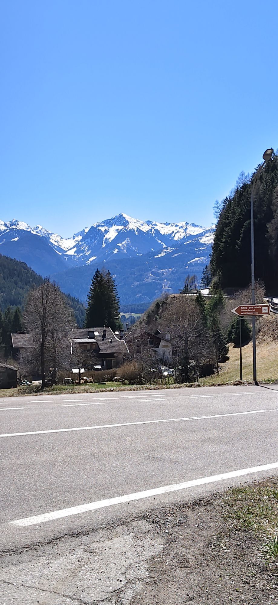
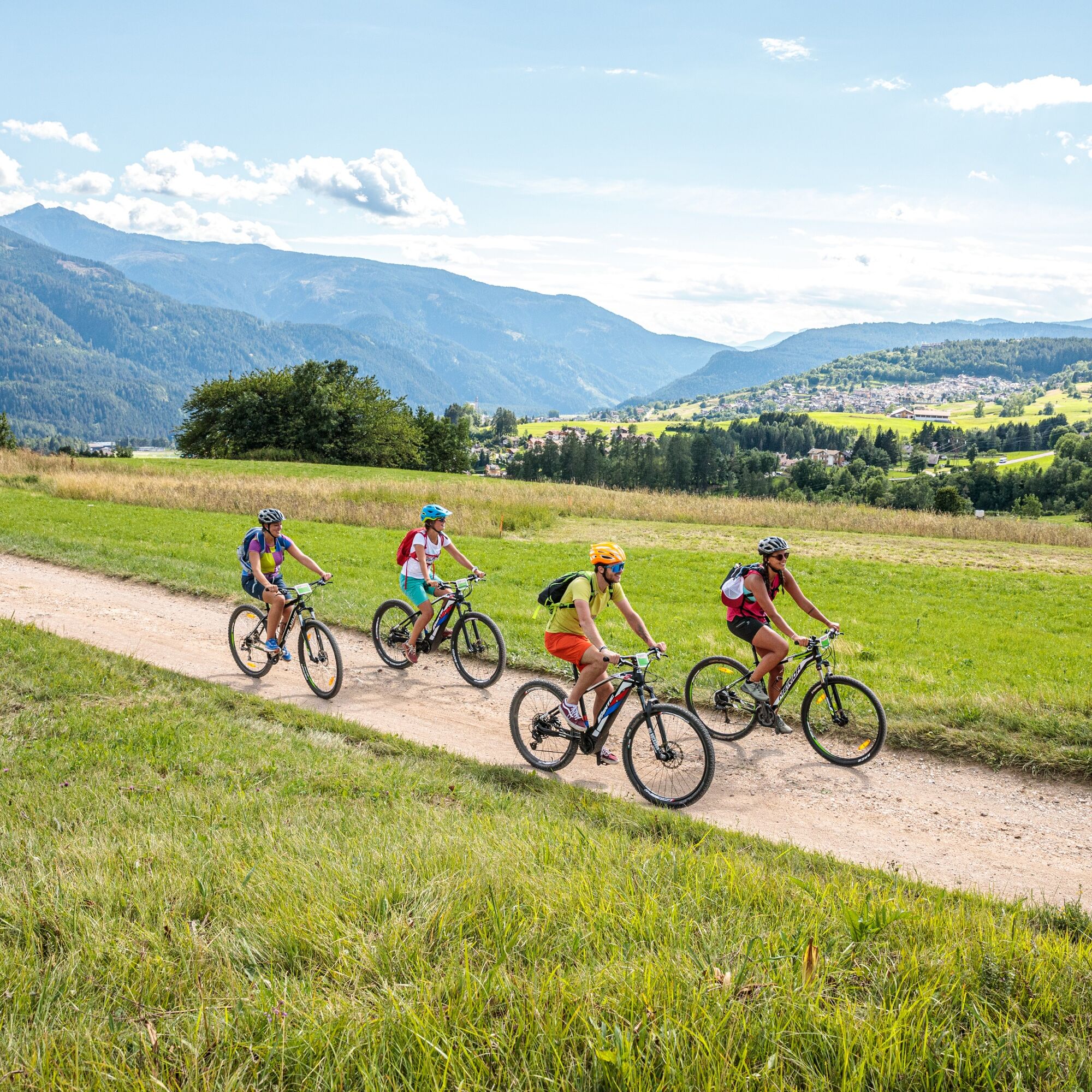
The route winds through open and airy meadows and pastures with a view of the Lagorai chain. It crosses the small villages around Cavalese and then plunges into the dense forest of the Solombo area. Not...
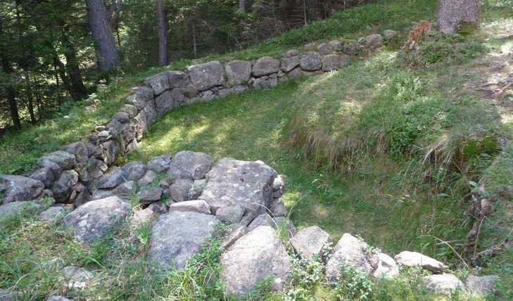
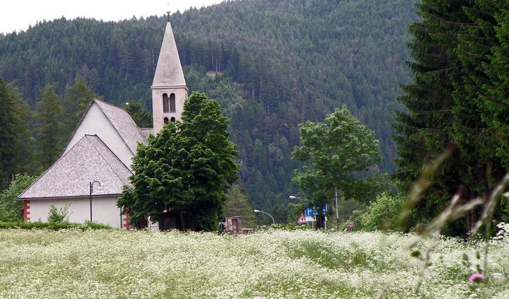
The route winds through open and airy meadows and pastures with a view of the Lagorai chain. It crosses the small villages around Cavalese and then plunges into the dense forest of the Solombo area. Not far from here you will discover unexpected details, such as the trenches that are now one with the vegetation. A short walk in the forest along these remains of war leads to a strategic observation point on the Dolomite Road. A section of the following cycle path crosses a particularly valuable natural area of the valley, the Brozin Biotope.

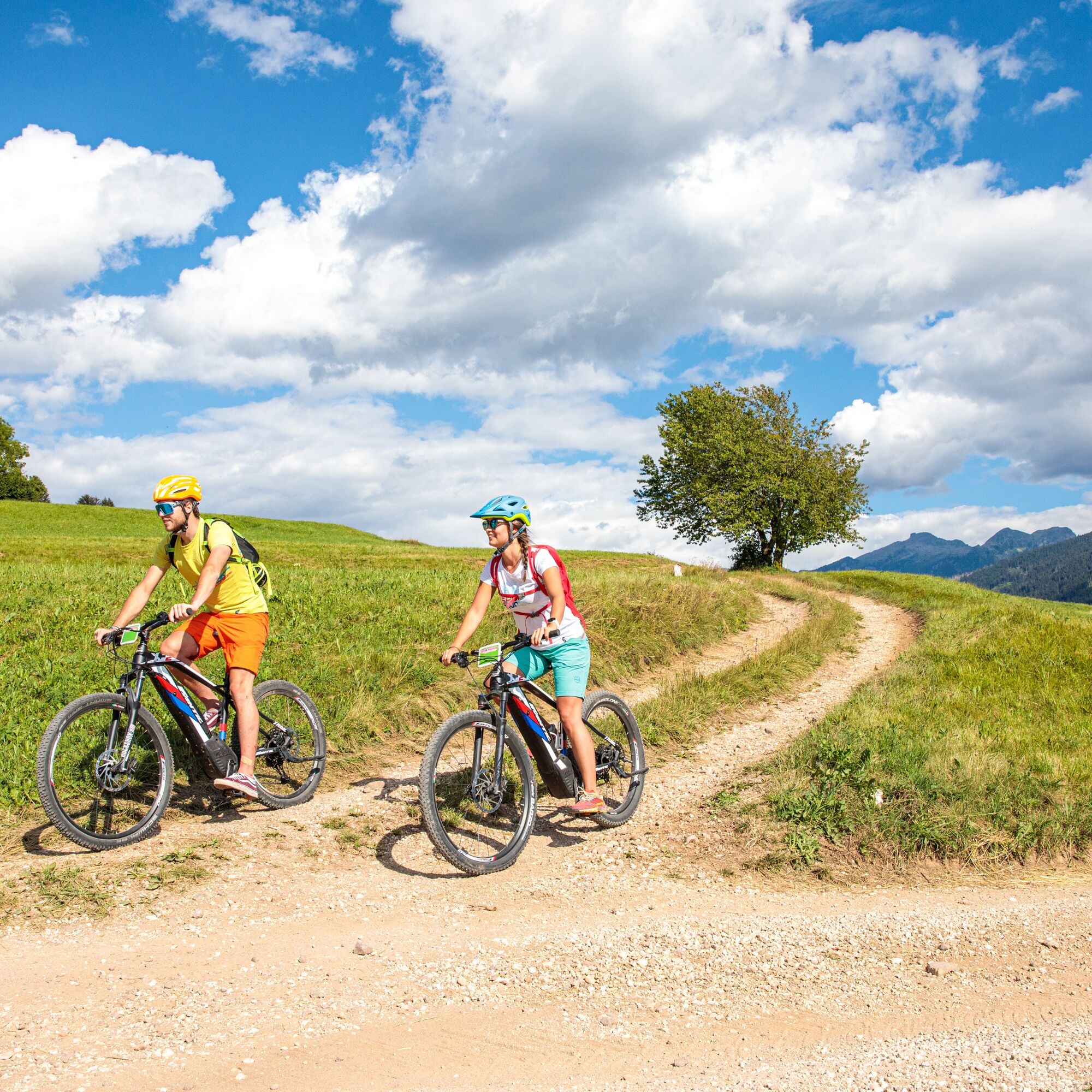
Cycle from Cavalese towards Tesero and after about 2 km take the road on the left going up to Varena.
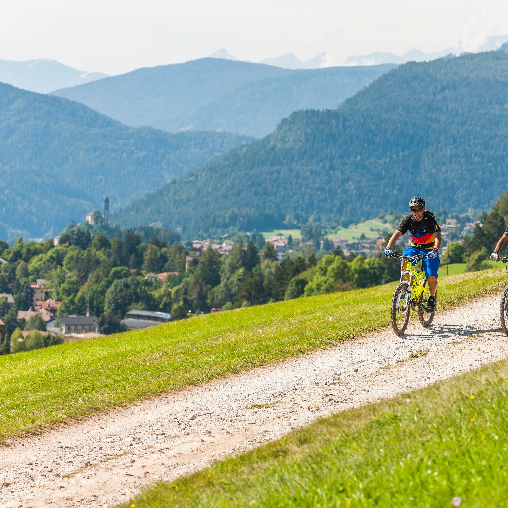
This panoramic trail takes you on some forest roads, passing among the fields that connect the towns of Varena and Daiano. Pay attention to the short but steep and hard 300 m climb (over 15%) on a porphyry-paved road in Daiano.
After 14 km, a wooden plaque reminds us that in this area the Great War was fought. From here starts a loop ride to discover seven Austrian trenches (push your bike).
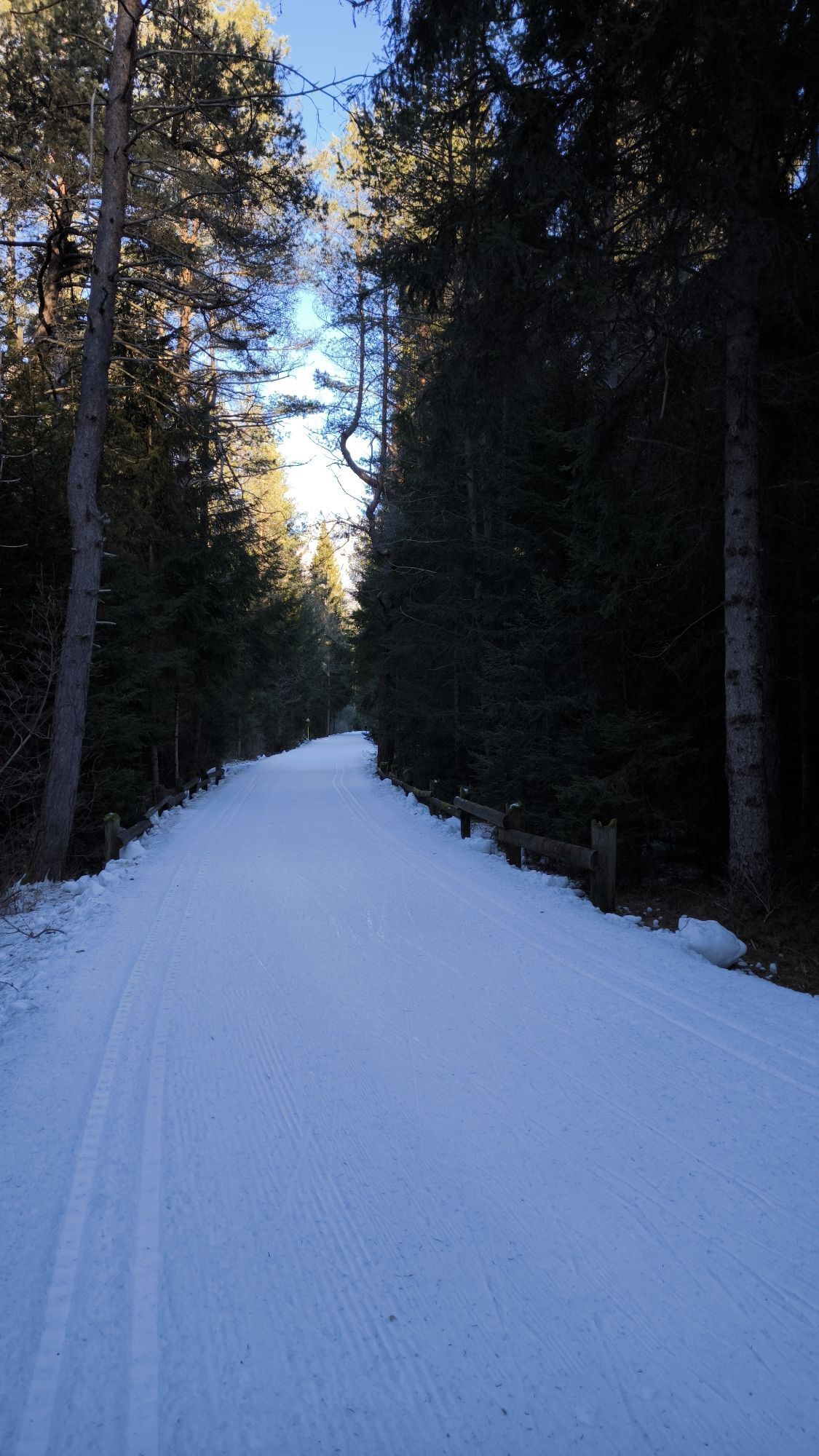
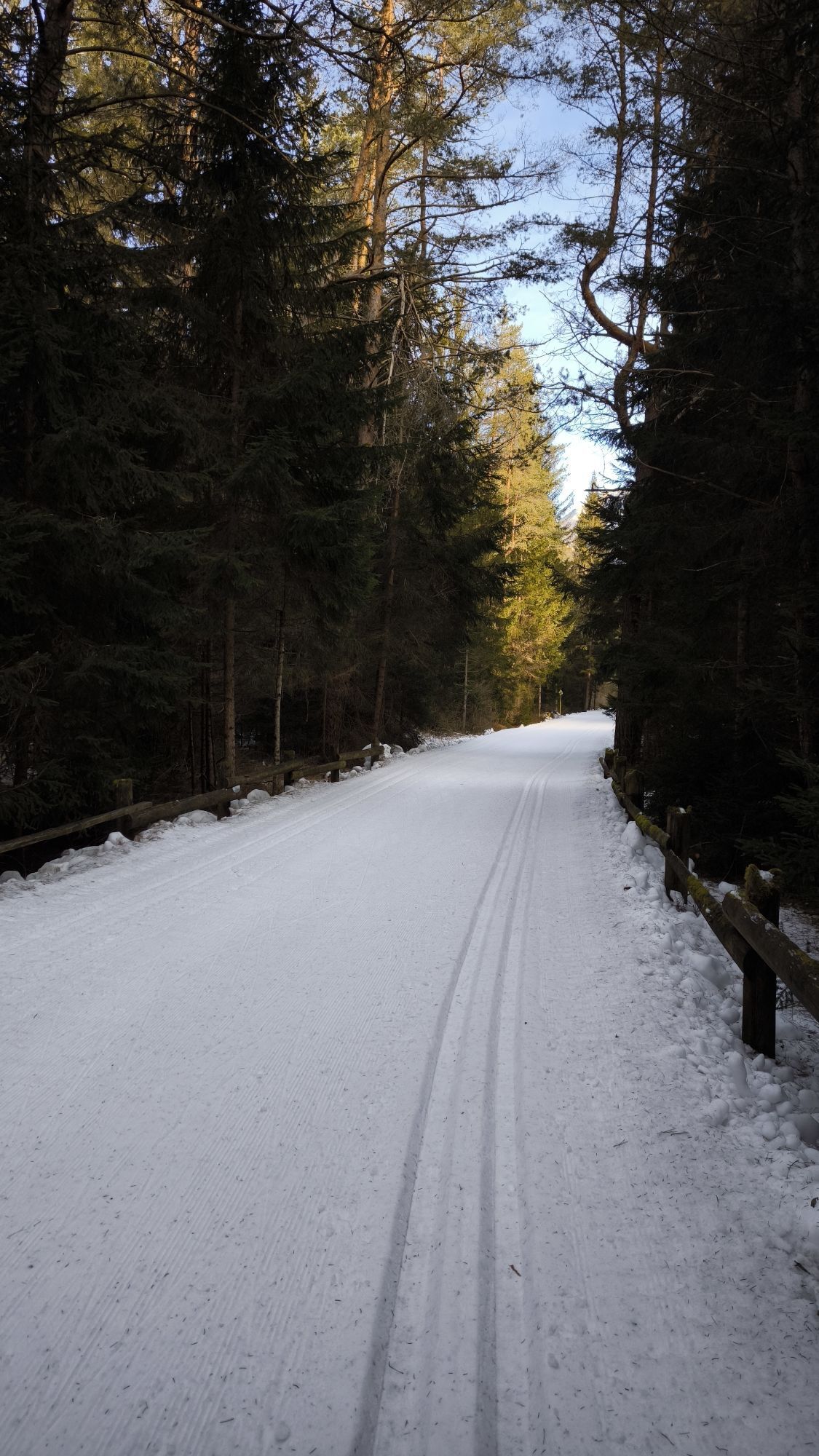
On the descent back to the S. Lugano pass, we suggest riding slowly and carefully. From San Lugano continue to Cavalese, first on the cycle route to the Brozin biotope, then on a short stretch of dirt road and finally on the paved street passing through the town of Castello di Fiemme.
What do I need to bring on my bike tour?
An adequate water supply according to your needs (considering temperature, possibility of refuelling and duration of the route) Plenty of snacks (for example, dried fruit or energy bars) Waterproof / Windproof jacket. A spare top / spare socks. (Descending in a sweaty garment, will make you cold) Suncream Sunglasses Bike gloves/mitts Map or GPS device Bike repair kit for punctures and mechanical breakdowns First aid kitIt is always advised to let someone know where you plan to go and how long you expect to be.
Emergency telephone number 112
IMPORTANT
Along all routes, always pay attention to other people and vehicles coming from both directions. MTB routes are not for bikers only.
After windstorm Vaia in October 2018, forest roads are used also by heavy vehicles to transport wood.
When riding on streets, bikers have to respect the traffic code just like drivers.
BIKER’S CODE OF RESPONSIBILITY
Plan your ride Share the trail with other users Yield right of way to hikers Let your speed be determined by your experience Ride slowly on crowded trails, overtake with politeness and respect Cycle only on authorized and open trails Avoid muddy trails in order not to damage them further Respect nature, plants, animals and the trail Do not frighten animals Take your rubbish home with you Respect public and private property Always be selfsufficient Do not cycle solo in remote areas Take back home only good picsALWAYS WEAR YOUR HELMET !
Please note that the practicability of the itineraries in a mountain environment is strictly linked to the contingent conditions and it is therefore influenced by natural phenomena, environmental changes and weather conditions. For this reason, the information contained in this page may have changed. Before leaving for a tour, make sure the path you will approach is still accessible by contacting the owner of the mountain hut, the alpine guides or the visitor centres of the nature parks, the info offices of the local tourist board.
Drive to the village of Cavalese.
Trentino Trasporti buses connects all the villages of Val di Fiemme with Cavalese.
Many parking lots are available around the starting point.
APT Val di Fiemme - Tel. +39 0462 241111 - info@visitfiemme.it - www.visitfiemme.it
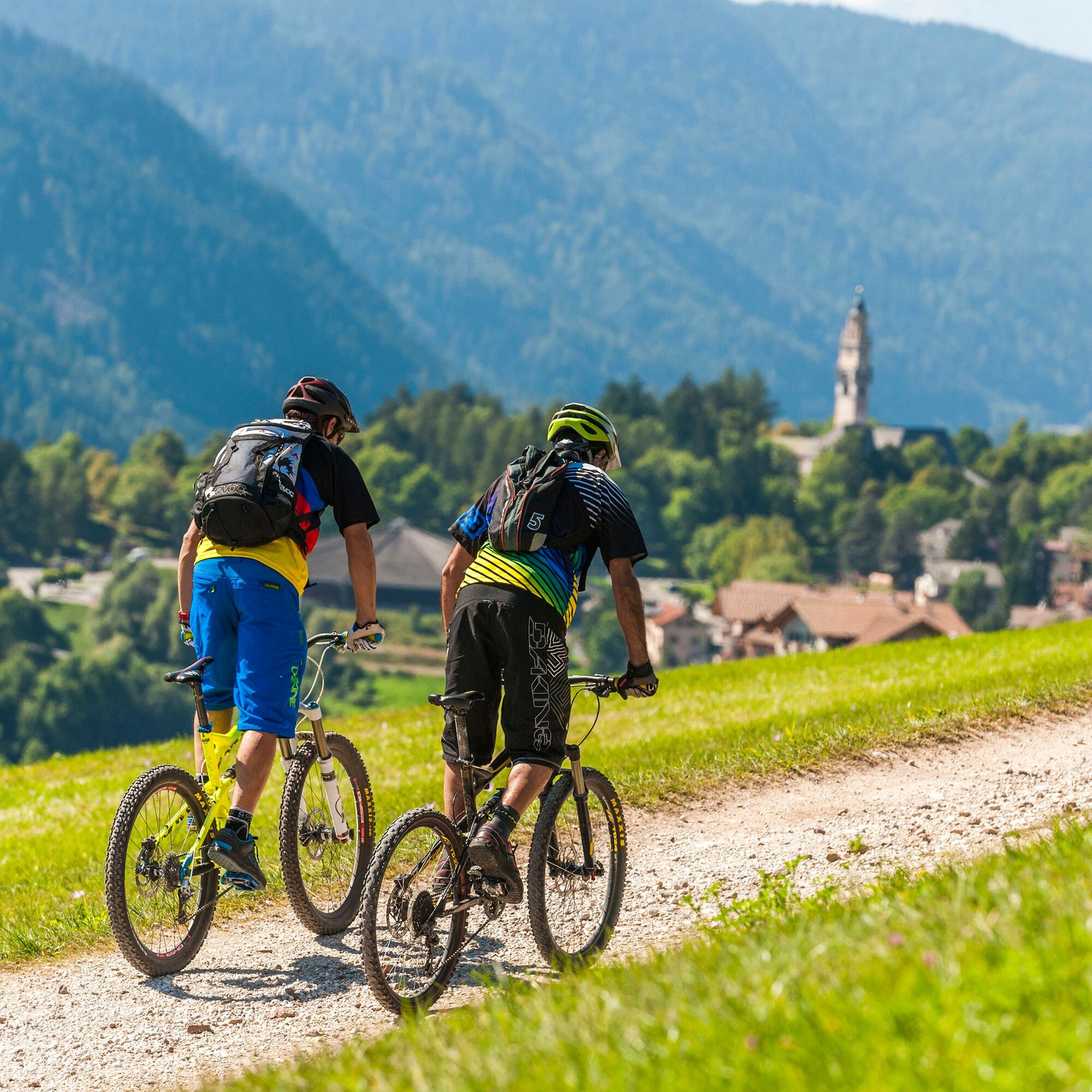
Also suited for E-MTB.
Oblíbené prohlídky v okolí
- 4.8
Torre di Pisa mountain hut
středníTuristika 9.09 km - 5.0
Latemar Umrundung - die Kurze und Bequeme
středníTuristika 12.1 km - 4.8
Latemar Tour - Tour 930
středníMountainbike 37.4 km - 4.8
Malga Cislon
středníTuristika 9.37 km - 2.8
Wanderung zur Latemarhütte
středníTuristika 7 km - 4.5
Weißhorn
středníTuristika 6.64 km - 5.0
Tour of Monte Cornon
středníTuristika 7.65 km - 5.0
The chromatic contrast of Corno Nero and Corno Bianco
heavyTuristika 12.7 km - 5.0
Latemar Panorama
středníTuristika 11.7 km - 4.7
The infinite views from Oclini Pass
světloZimní turistika 4.91 km
Pěší turistika a stopování


Nenechte si ujít nabídky a inspiraci pro vaši příští dovolenou
Vaše e-mailová adresa byl přidán do poštovního seznamu.