


Tour del Lago di Tenno
Úroveň obtížnosti: 3
This itinerary is very popular with local cyclists, especially those with limited free time, who seek a short but intense route.
The starting point is in Riva del Garda. This version proposes the climb...
This itinerary is very popular with local cyclists, especially those with limited free time, who seek a short but intense route.
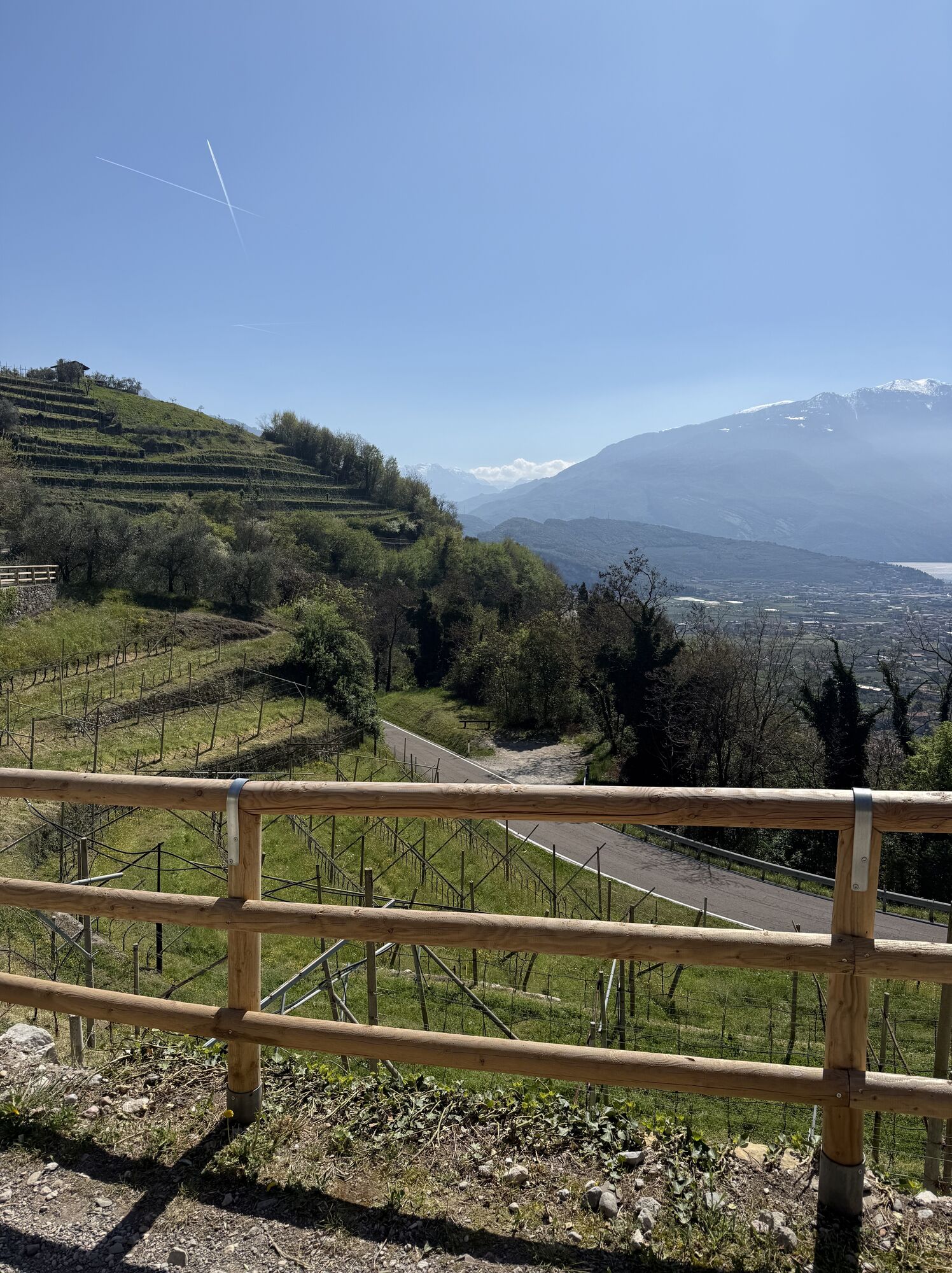
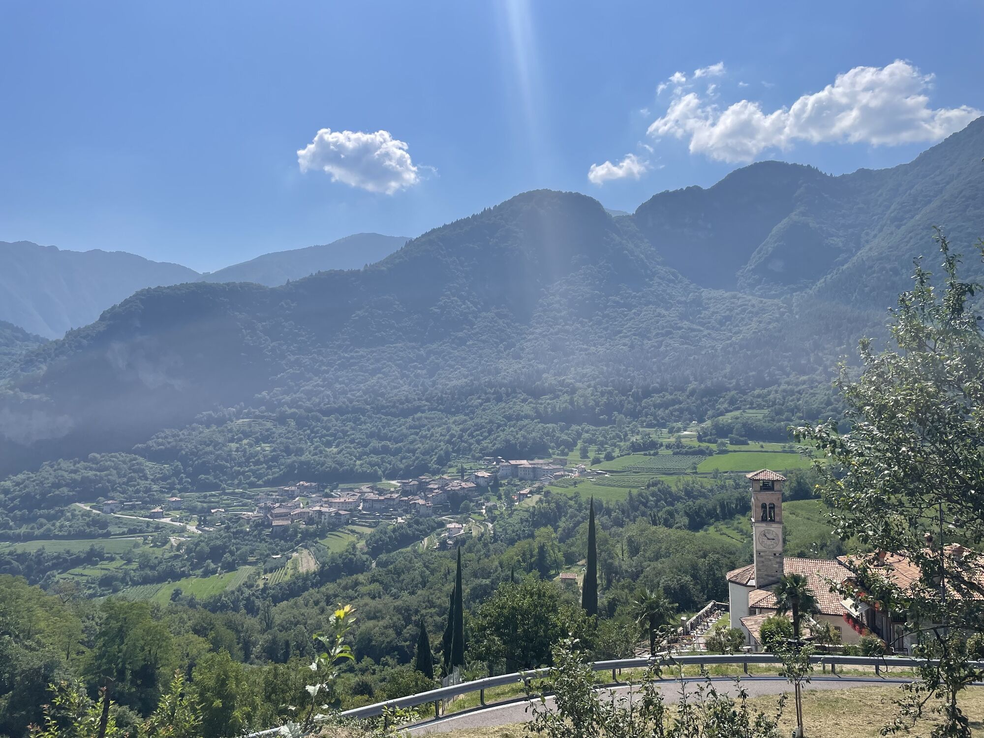
The starting point is in Riva del Garda. This version proposes the climb from Deva e Pranzo and the descent from Ville del Monte and Tenno. Again, the road is wide and not very busy. There are no flat sections, just this gentle climb about ten kilometres long, followed by a pleasant descent of the same distance.
The reasonable gradients mean that everyone can manage this route and enjoy its spectacular view of Lake Garda.
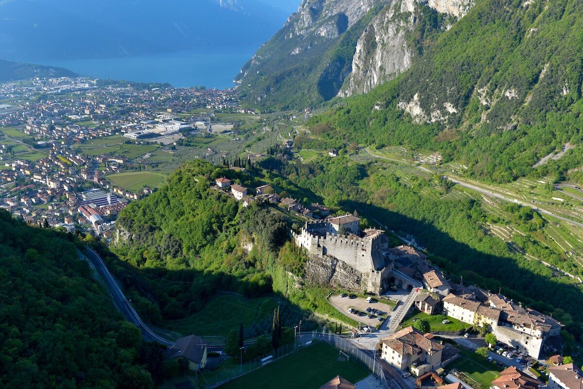
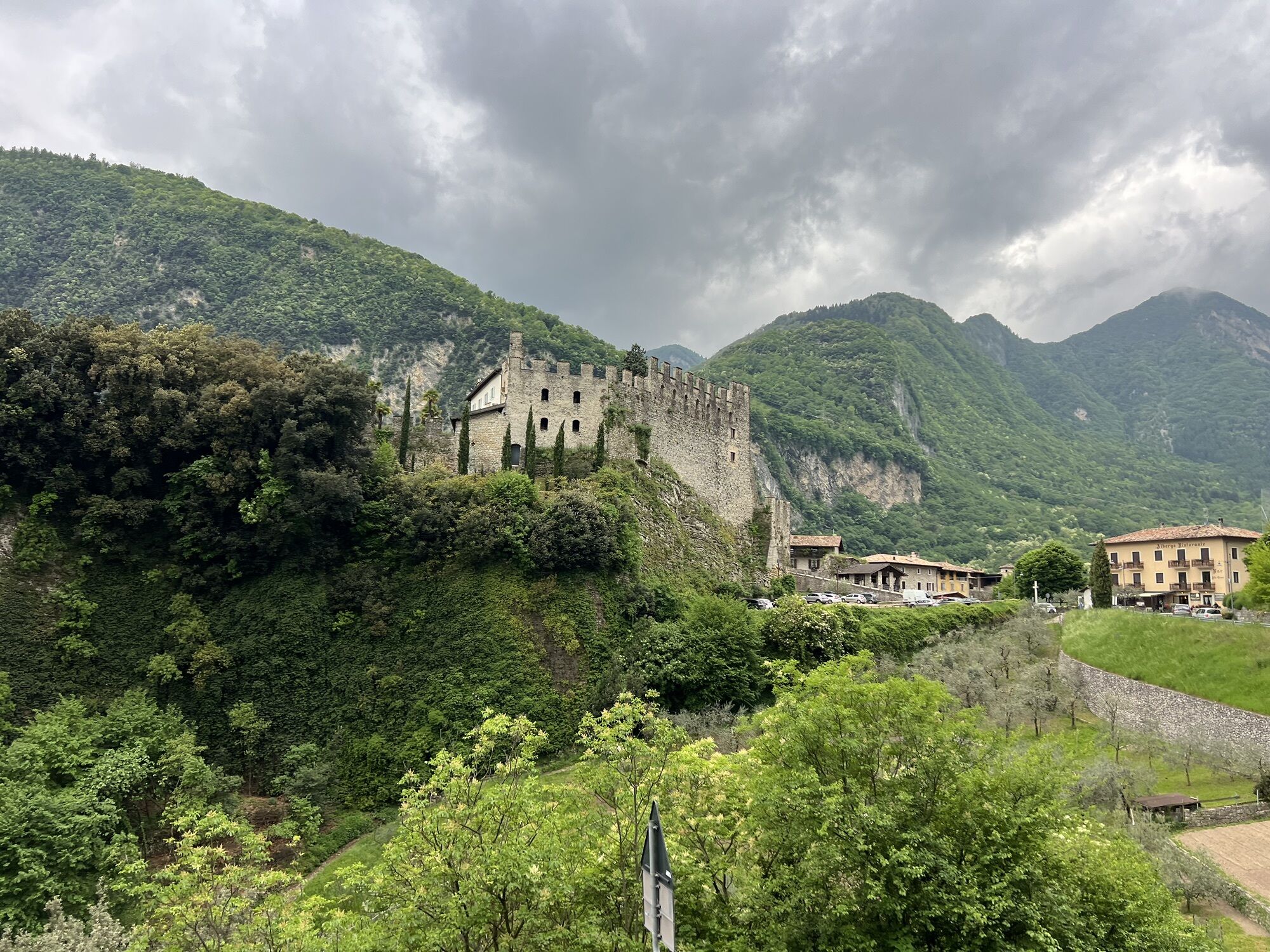
The itinerary proposed here departs from the Riva del Garda Information Office in Largo Medaglie d’Oro. From here we ride north and follow the signs for the Valle di Ledro -Ledro Valley.
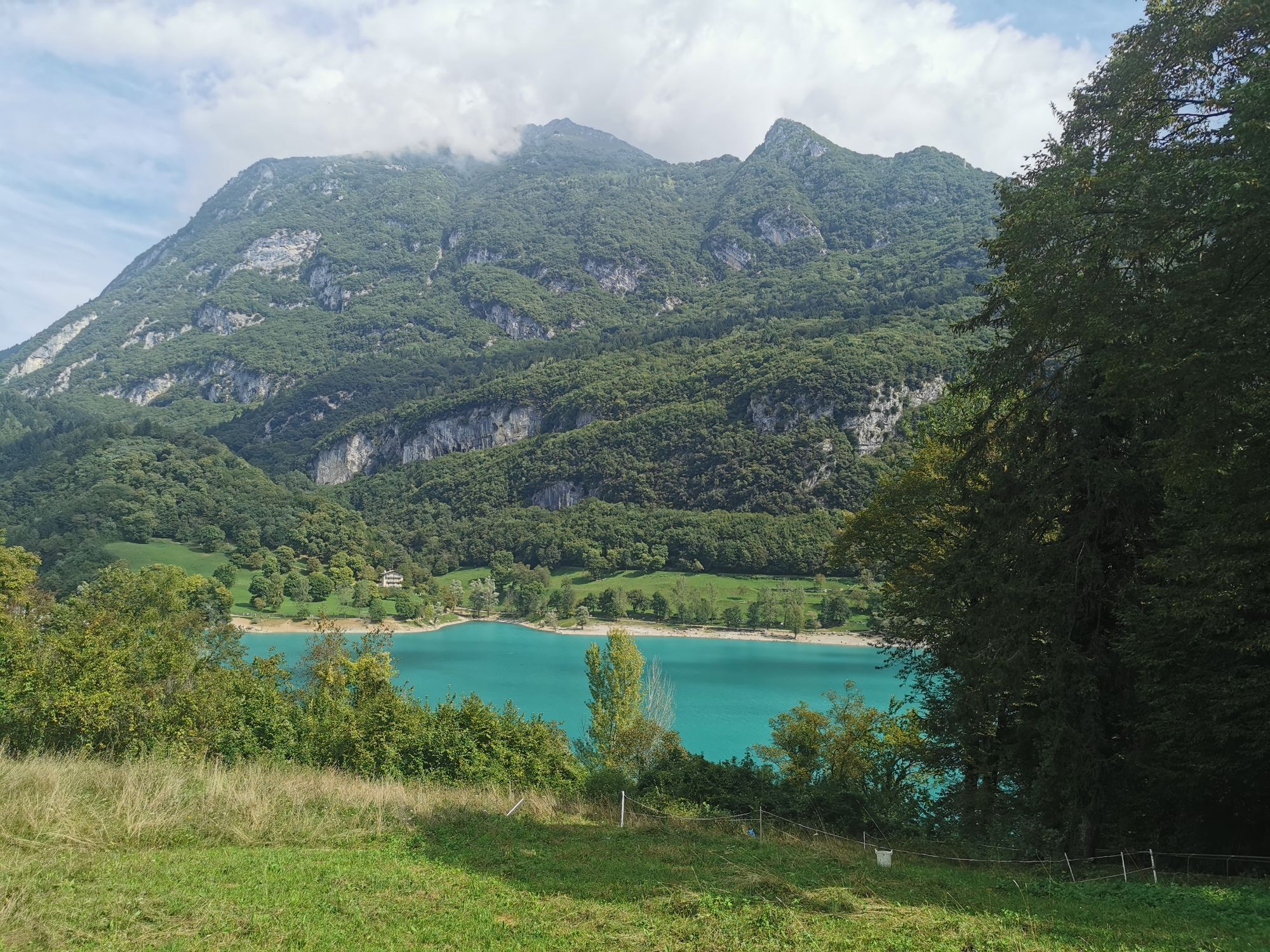
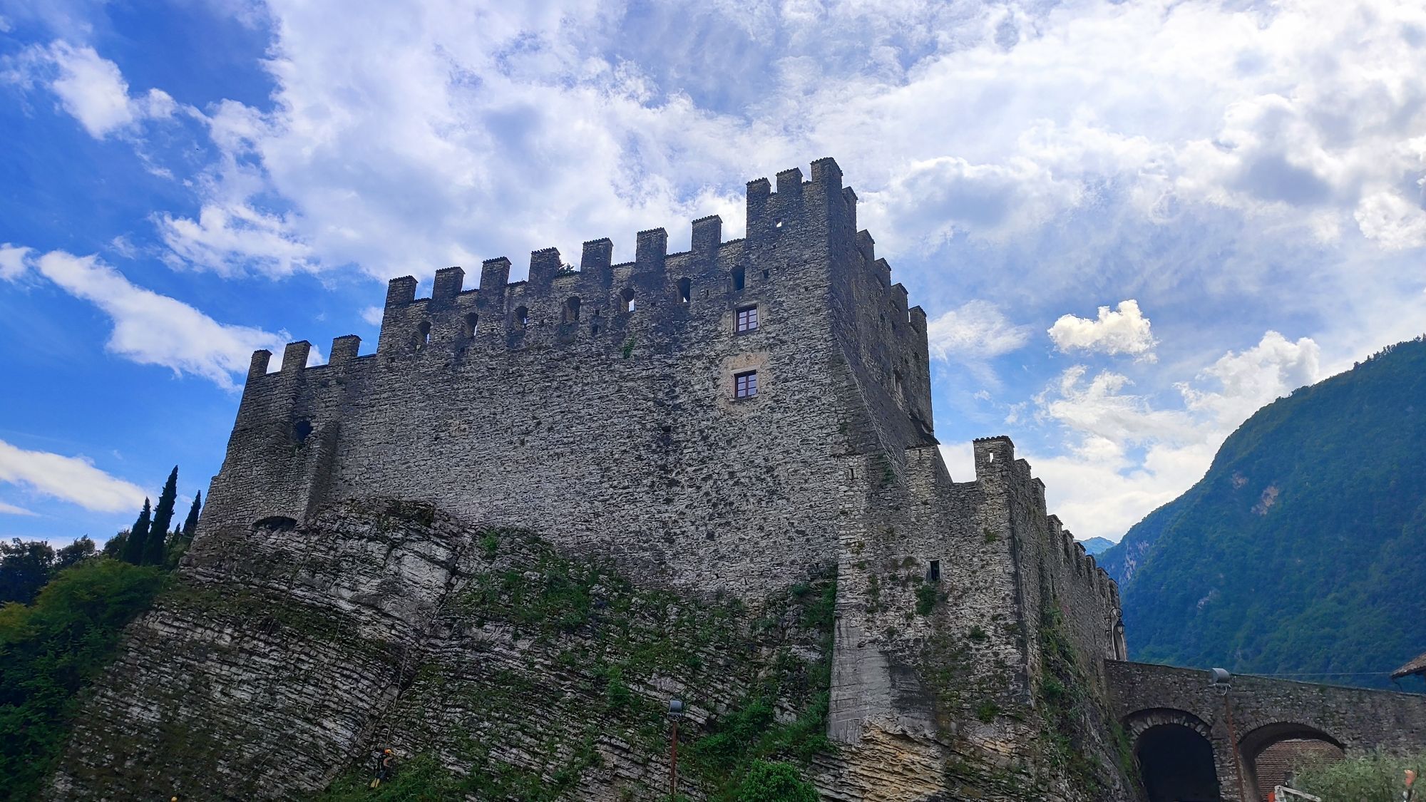
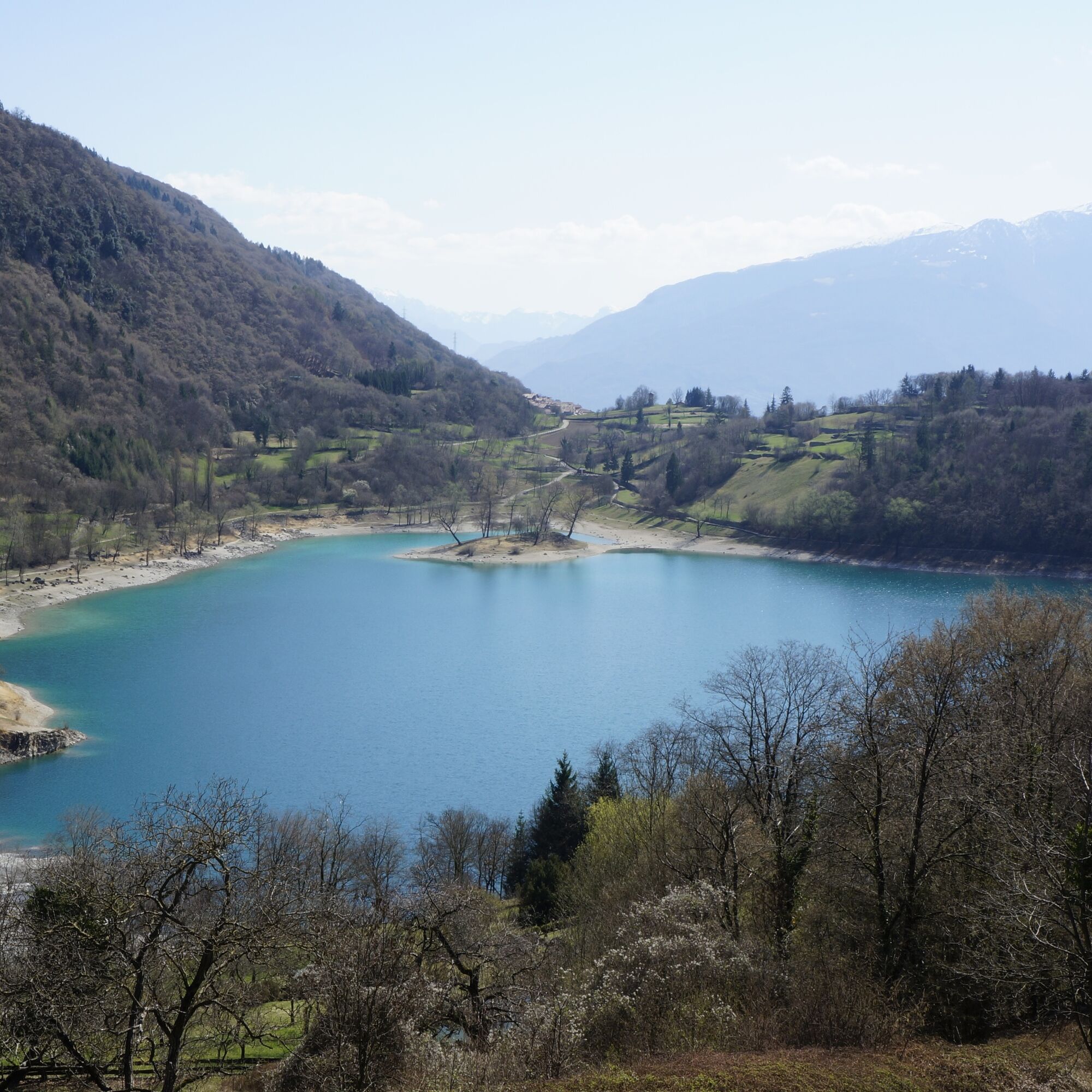
Before the Ledro Valley tunnel begins, on the left, we find the road that leads to Lake Tenno. It’s here that the main climb of this loop begins. The gradient, never steep, is gradual. Halfway up, in Pranzo, we come across a fountain where we can fill up our water bottles. The last kilometre before reaching Lake Tenno also features a slightly downhill section. Once we reach the crossroads, the hard part is over.
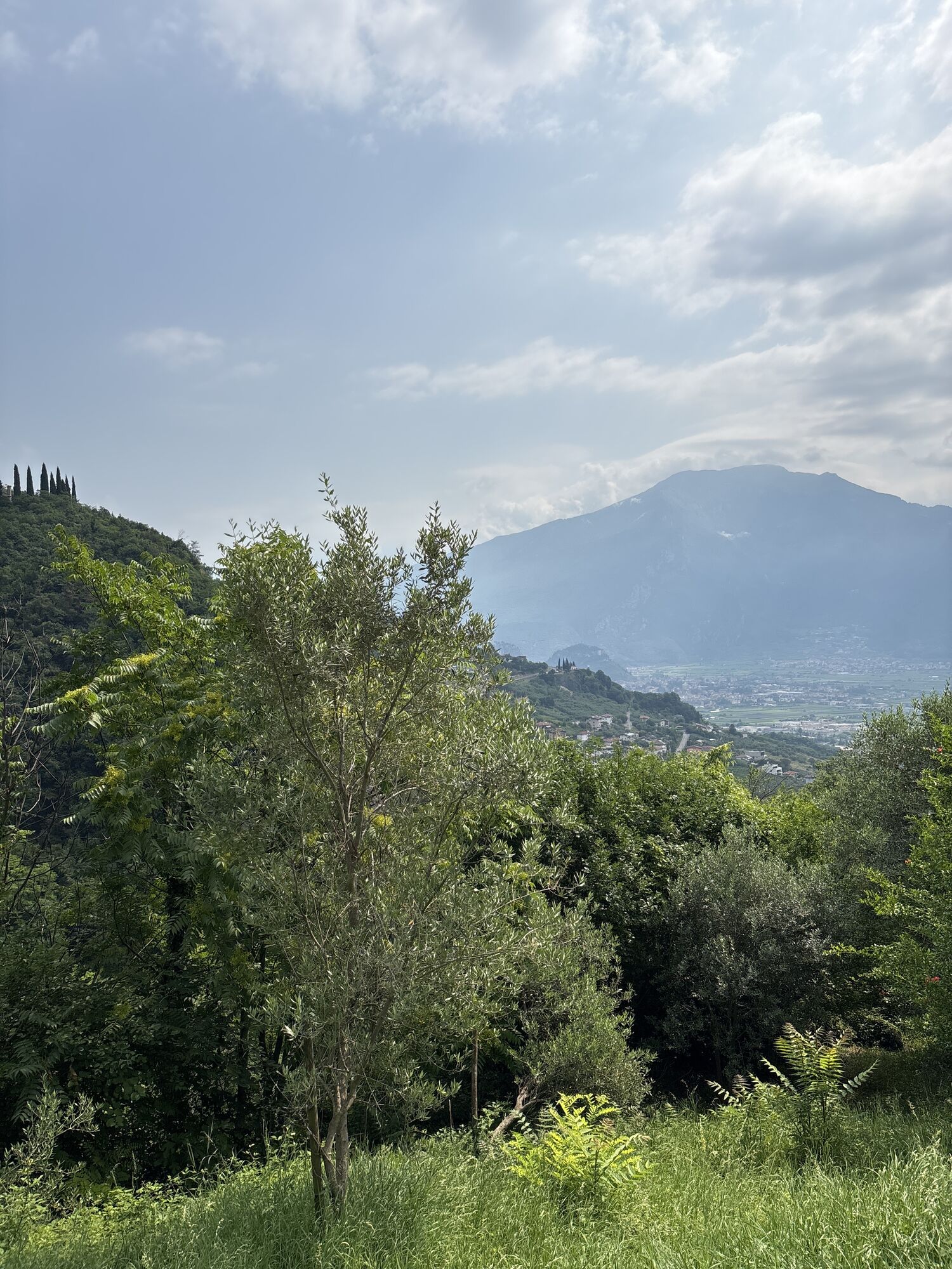
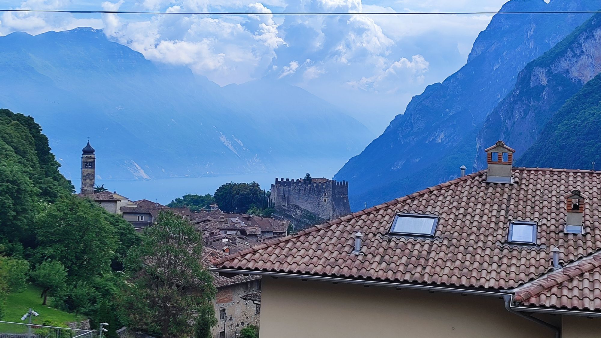
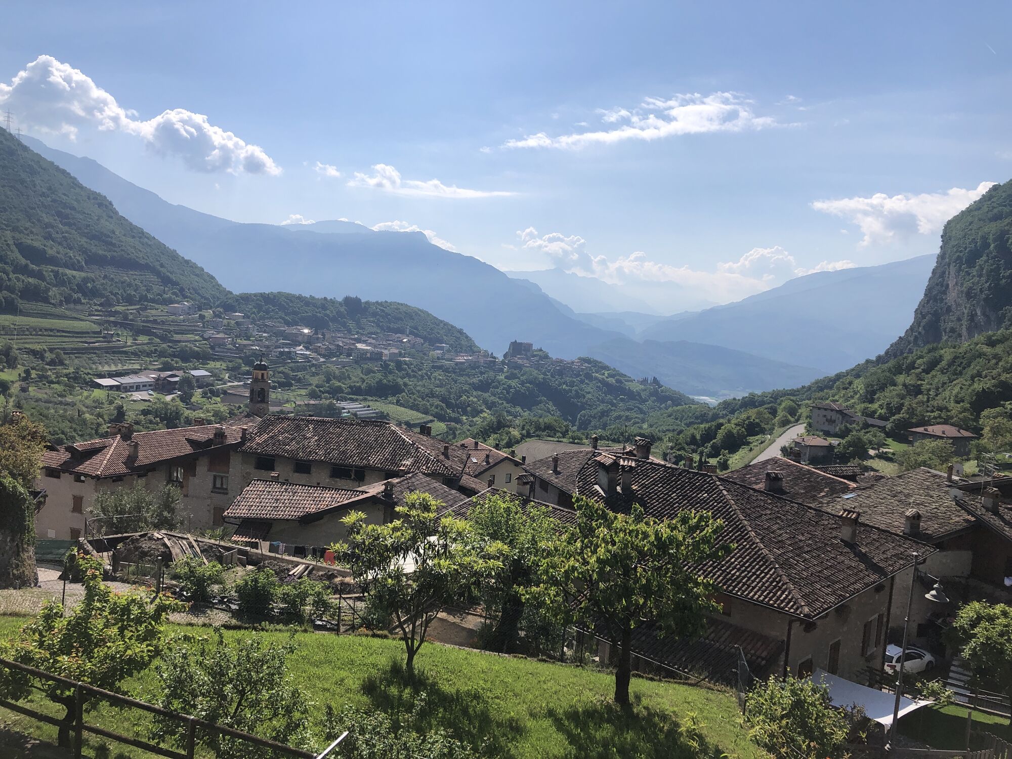
We turn right and begin the descent that takes us back to our starting point. We pass through Ville del Monte, Tenno, Cologna, Gavazzo and Varone, before reaching Riva del Garda again.
Riding your bike requires specific clothing and equipment, even for relatively short and easy trips. It is always better to be prepared… e.g. for bad weather or a drop your energy levels. The unexpected things also make up a part of the fun!
Do not compare a road bike with a mountain bike. They are very different, especially in technical terms, and facing a hill with a road bike could be much more difficult than facing the same hill with a MTB. Therefore, remember to throughly evaluate the type of route you plan to do and the locations you plan to cross. Do not forget to consider the current season. Has it been raining? Attention: the paint of the crosswalk could be very slick.
What do I need to bring on my bike tour?
Bike helmet Bike gloves Bike glasses Waterproof/Windproof jacket Headlights and rearlights Reflecting suspenders Plenty of snacks (for example, dried fruit or energy bars) Water Bottle Bike repair kit (tire levers, mini bike pump, bike tube)It is always advised to let someone know where you plan to go and how long you expect to be.
Emergency telephone number 112.
Give your bike a regular checkup, especially if you've had it for years.
Be seen: you must wear a high vis jacket (or sash) in tunnels and on country roads after sunset.
Always wear your helmet.
Make sure your front and rear lights are working.
Put out your arm to give advance warning of your intention to change position and before you do anything, check there are no vehicles coming up behind you.
Don't use headphones or your mobile phone handsfree kit: you need all your concentration on the road!
Obey the road signs: stop at traffic lights and don't ride on the wrong side of the road.
If you are cycling in a group, always go in single file.
You've got a bell: use it to let pedestrians know you're there. Don't ride on footpaths. If you have to then get off and push your bike.
If there are cycle paths use them. It's your safety that's at stake and the rules of the road say you must.
Getting to northern lake Garda / Garda Trentino
The towns in Garda Trentino - Riva del Garda, Torbole sul Garda and Arco – are connected by several urban and intercity bus lines which will take you to the starting point or in the immediate surroundings.
For up-to-the-minute information on timetables and routes
You can also get to Riva del Garda and Torbole sul Garda by the public ferry service.
Kostenloser Parkplatz am alten Krankenhaus (Via Rosmini).
Gebührenpflichtiges Parken: Terme Romane (Viale Roma), Vecchia stazione (Largo Medaglie d’Oro), Ex-agraria (Via Lutti).
3
This route can also be tackled in the opposite direction: the distance and climb gradient are almost identical, as is the number of bends.
Oblíbené prohlídky v okolí
- 5,0
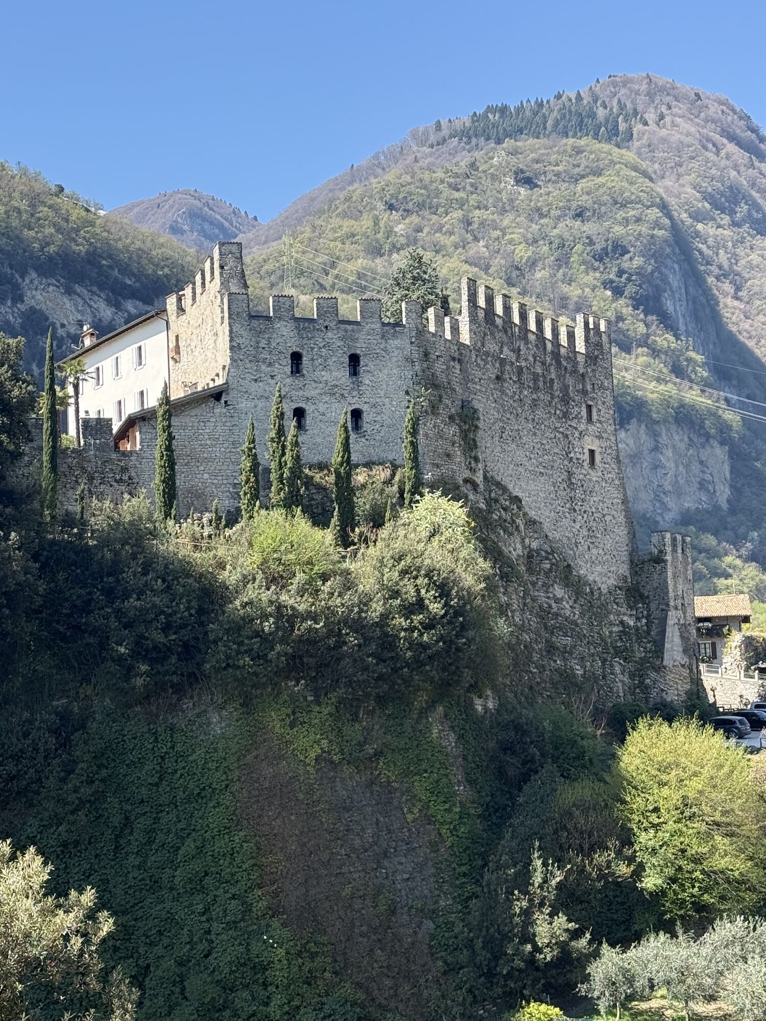
Bastione and Santa Barbara, the lords of Riva del Garda
středníTuristika 2,94 km - 4,8
Via Ferrata Rio Sallagoni
středníVia ferrata 2,75 km - 5,0
Via Ferrata Signora delle Acque - Rio Ruzza
heavyVia ferrata 5,32 km - 4,8
Bocca Fortini - Tour
heavyMountainbike 35,4 km - 4,8
Sentiero Busatte Tempesta
světloTuristika 7,90 km - 4,7
Via Ferrata Fausto Susatti - Cima Capi (from Ledro)
středníVia ferrata 7,11 km - 4,6
Via Ferrata delle Laste e Gallerie di Cima Rocca
světloVia ferrata 6,38 km - 4,9
Via Ferrata dell’Amicizia - Cima SAT
středníVia ferrata 4,41 km - 4,5
Walking around Lake Ledro
světloTuristika 9,40 km - 4,4
Tremalzo Big - Tour
heavyMountainbike 45,6 km

Pěší turistika a stopování


Nenechte si ujít nabídky a inspiraci pro vaši příští dovolenou
Vaše e-mailová adresa byl přidán do poštovního seznamu.