



Loppio - Monte Velo

Úroveň obtížnosti: 6



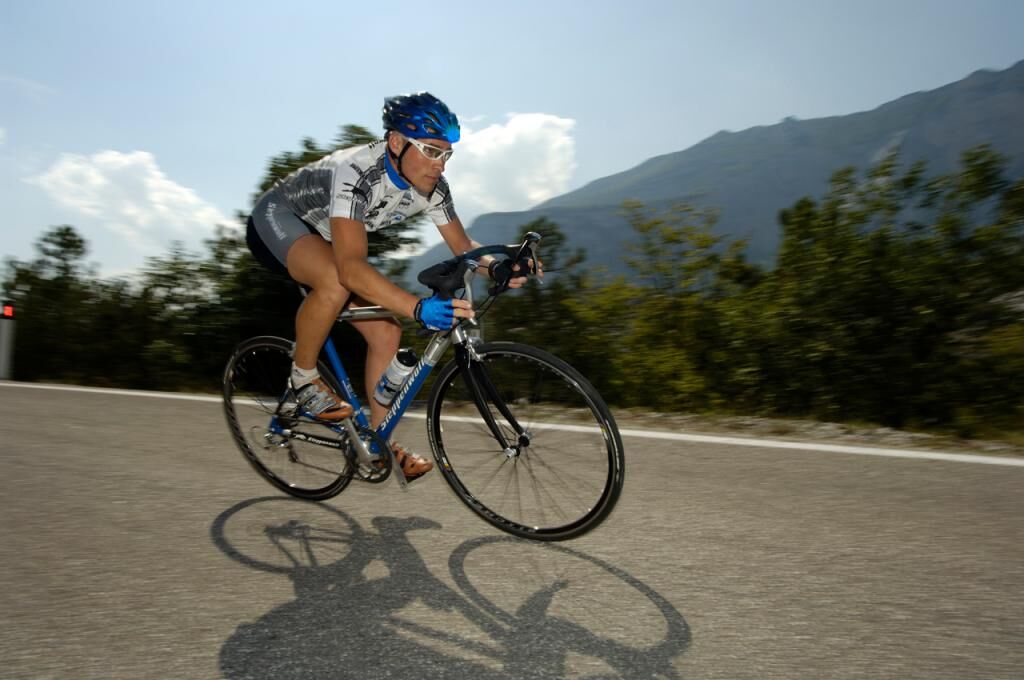

The Valle di Gresta has become famous in recent decades thanks to the “biological philosophy” of local farmers: cabbage, lettuce, potatoes, carrots and other vegetables are carefully cultivated using only natural methods. Every Autumn there is a special market- fair where it is possible to stock up on natural, organic produce.
Please note that the practicability of the itineraries in a mountain environment is strictly linked to the contingent conditions and is therefore influenced by natural phenomena, environmental changes and weather conditions. For this reason, the information contained in this page may have changed. Before leaving for a tour, make sure the path you will approach is still accessible by contacting the owner of the mountain hut, the alpine guides or the visitor centres of the nature parks, the info offices of the local tourist board.
6
Webové kamery z prohlídky

Oblíbené prohlídky v okolí
- 5,0
Via Ferrata Signora delle Acque - Rio Ruzza
heavyVia ferrata 5,32 km - 5,0
Bastione and Santa Barbara, the lords of Riva del Garda
středníTuristika 2,94 km - 4,9
Via Ferrata dell’Amicizia - Cima SAT
středníVia ferrata 4,41 km - 4,8
Bocca Fortini - Tour
heavyMountainbike 35,4 km - 4,8
Via Ferrata Fausto Susatti - Cima Capi (from Ledro)
středníVia ferrata 7,11 km - 4,8
Via Ferrata Rio Sallagoni
středníVia ferrata 2,75 km - 4,8
Sentiero Busatte Tempesta
světloTuristika 7,90 km - 4,6
Via Ferrata delle Laste e Gallerie di Cima Rocca
světloVia ferrata 6,38 km - 4,5
Walking around Lake Ledro
světloTuristika 9,40 km - 4,8
Ponale Path (from Ledro)
středníTuristika 10,8 km

Pěší turistika a stopování


Nenechte si ujít nabídky a inspiraci pro vaši příští dovolenou
Vaše e-mailová adresa byl přidán do poštovního seznamu.


