







San Giovanni Trail-Tour
Úroveň obtížnosti: ▲

Signage: 742. San Giovanni Trail - Tour
The downhill sections of this circuit are unforgettable, but so too is the ascent to San Giovanni al Monte. It may be easier to get there by road, but it’s far nicer...
Signage: 742. San Giovanni Trail - Tour
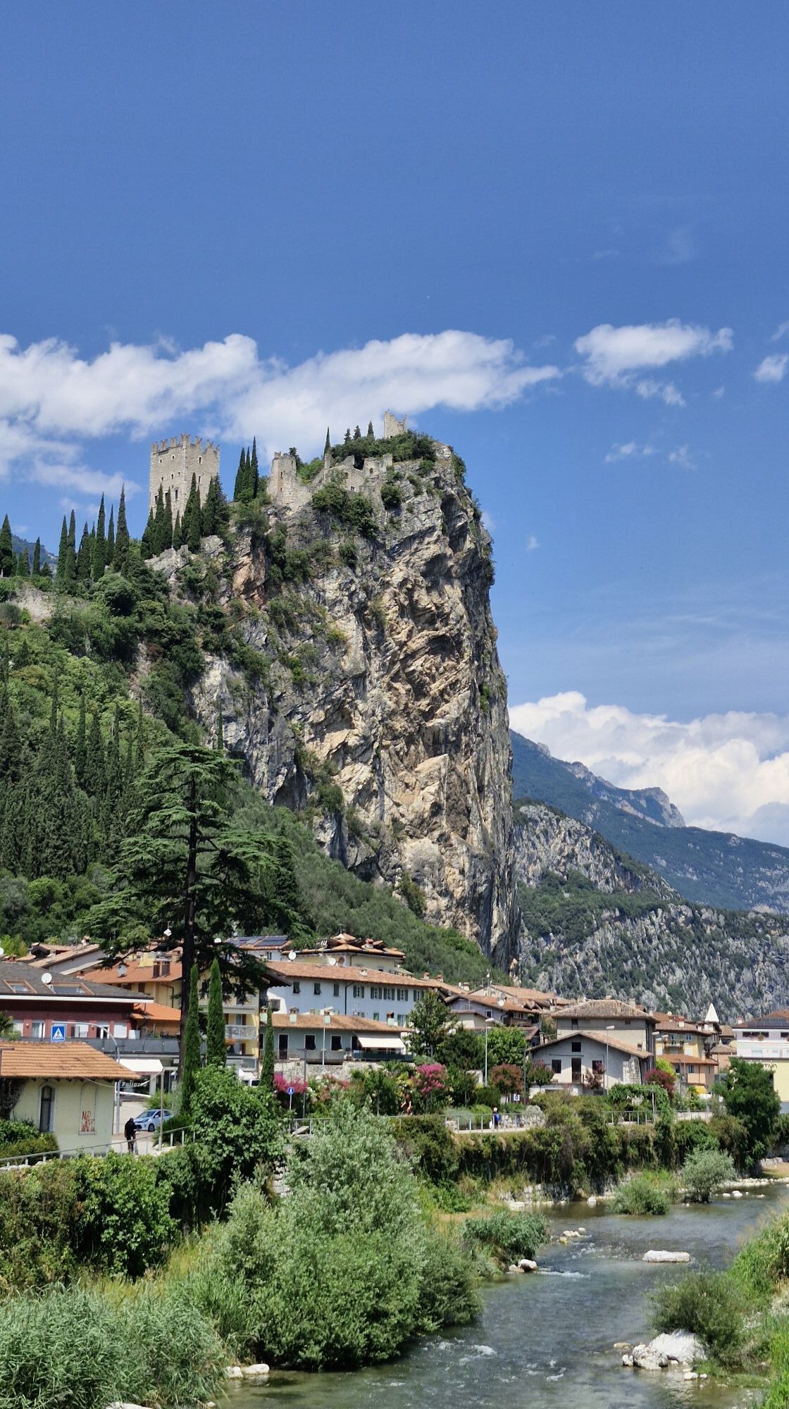
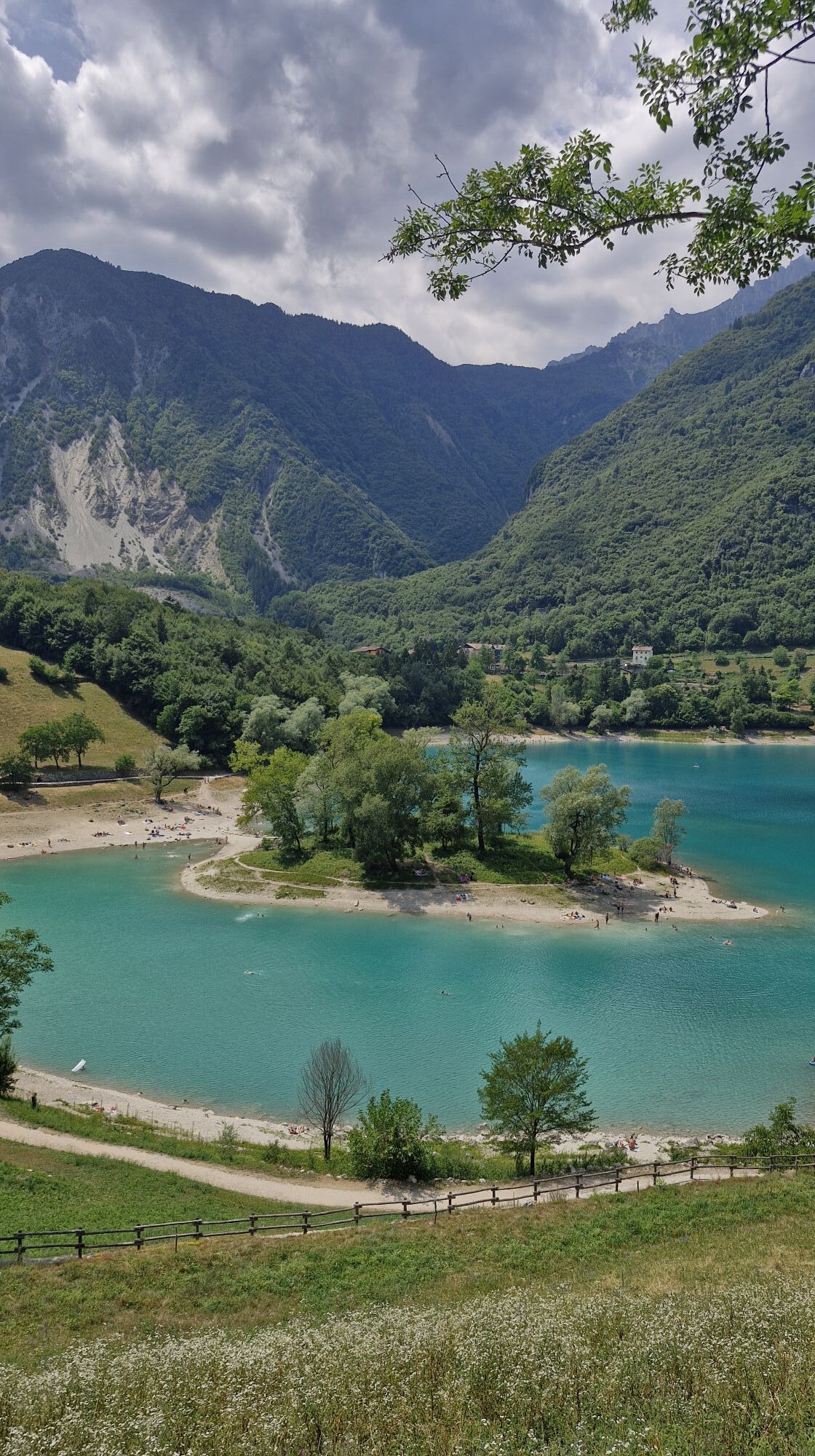
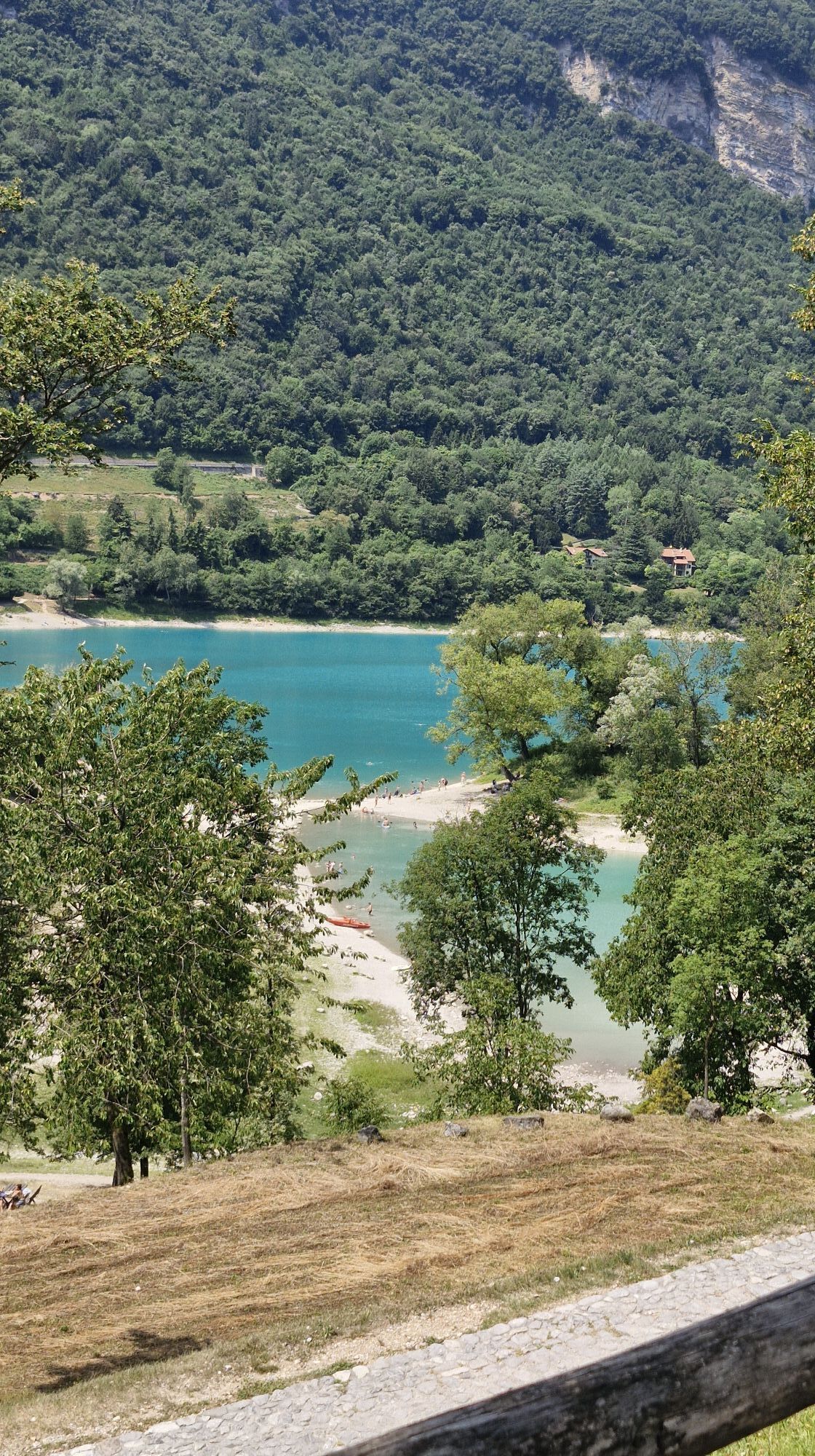
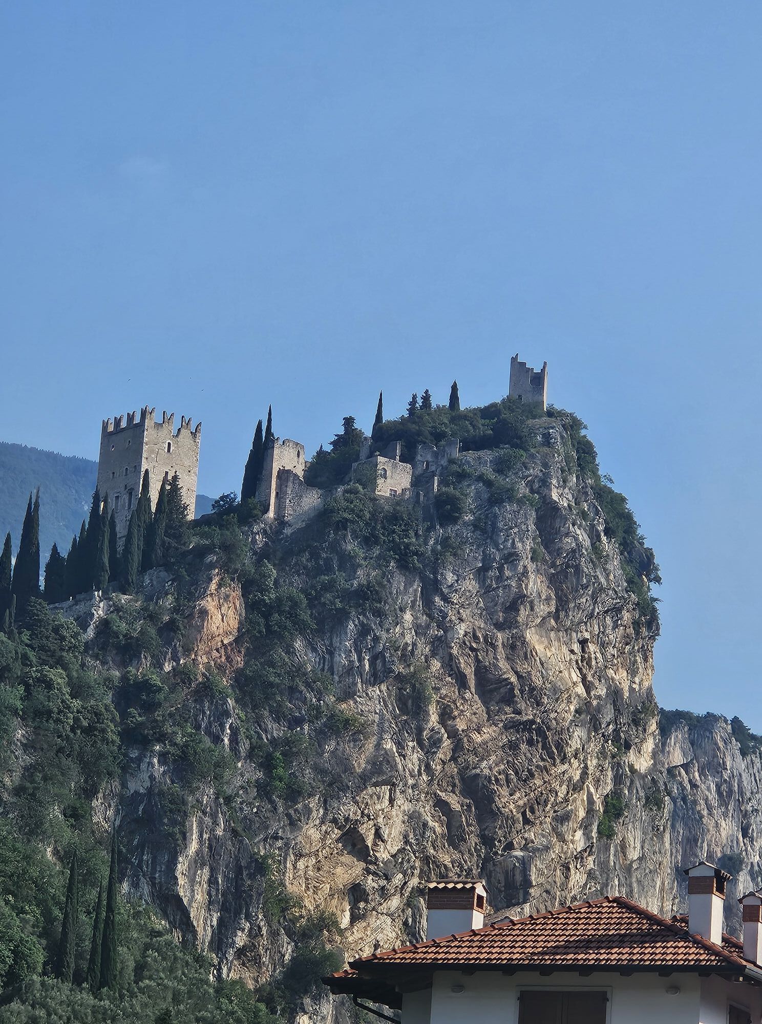
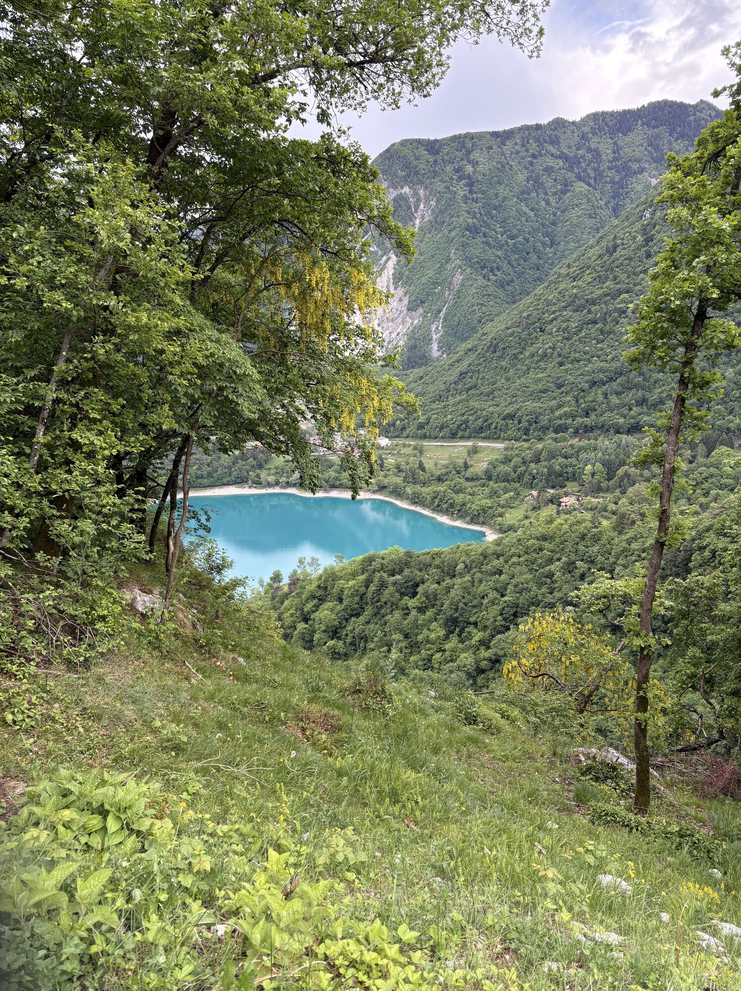
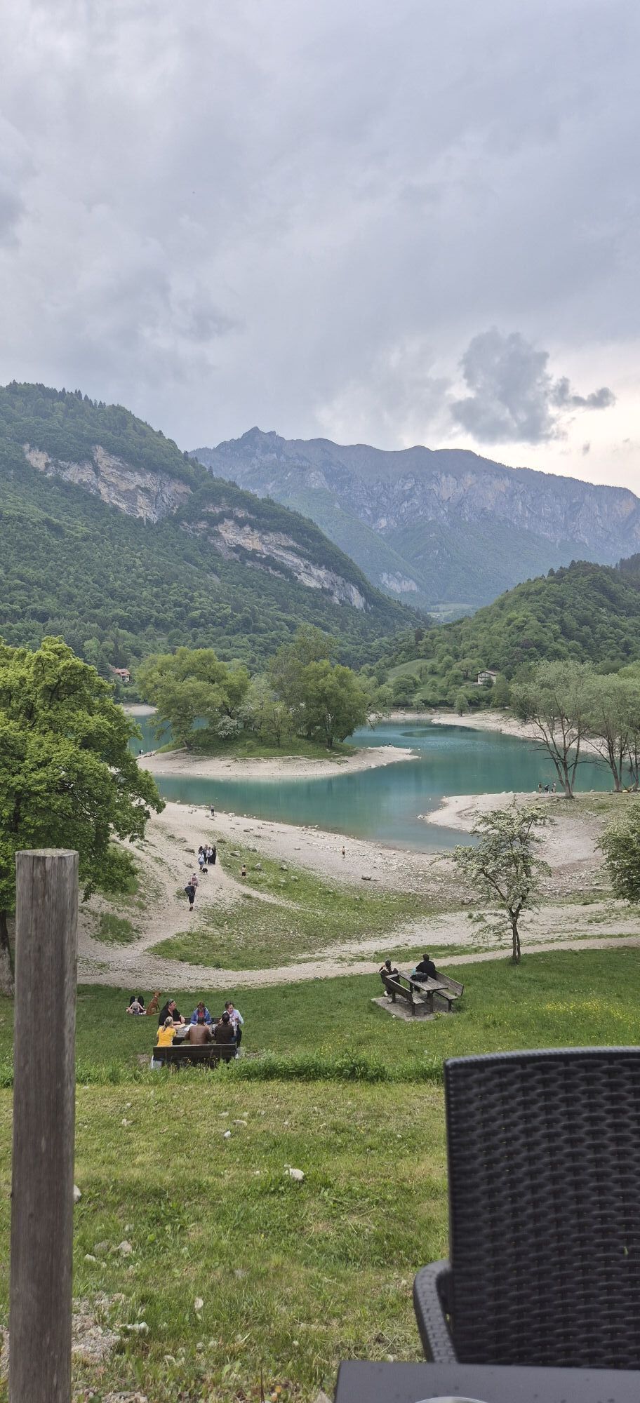
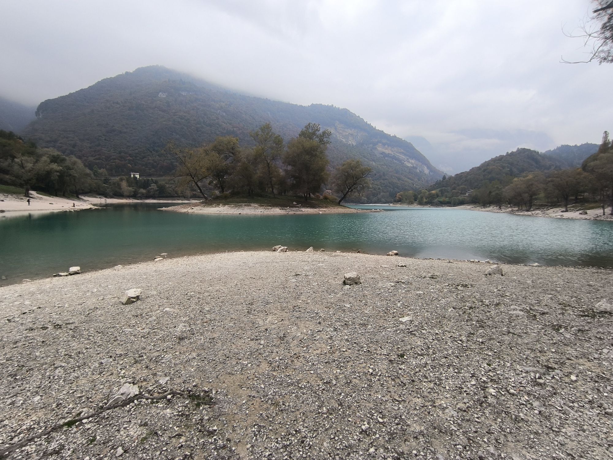
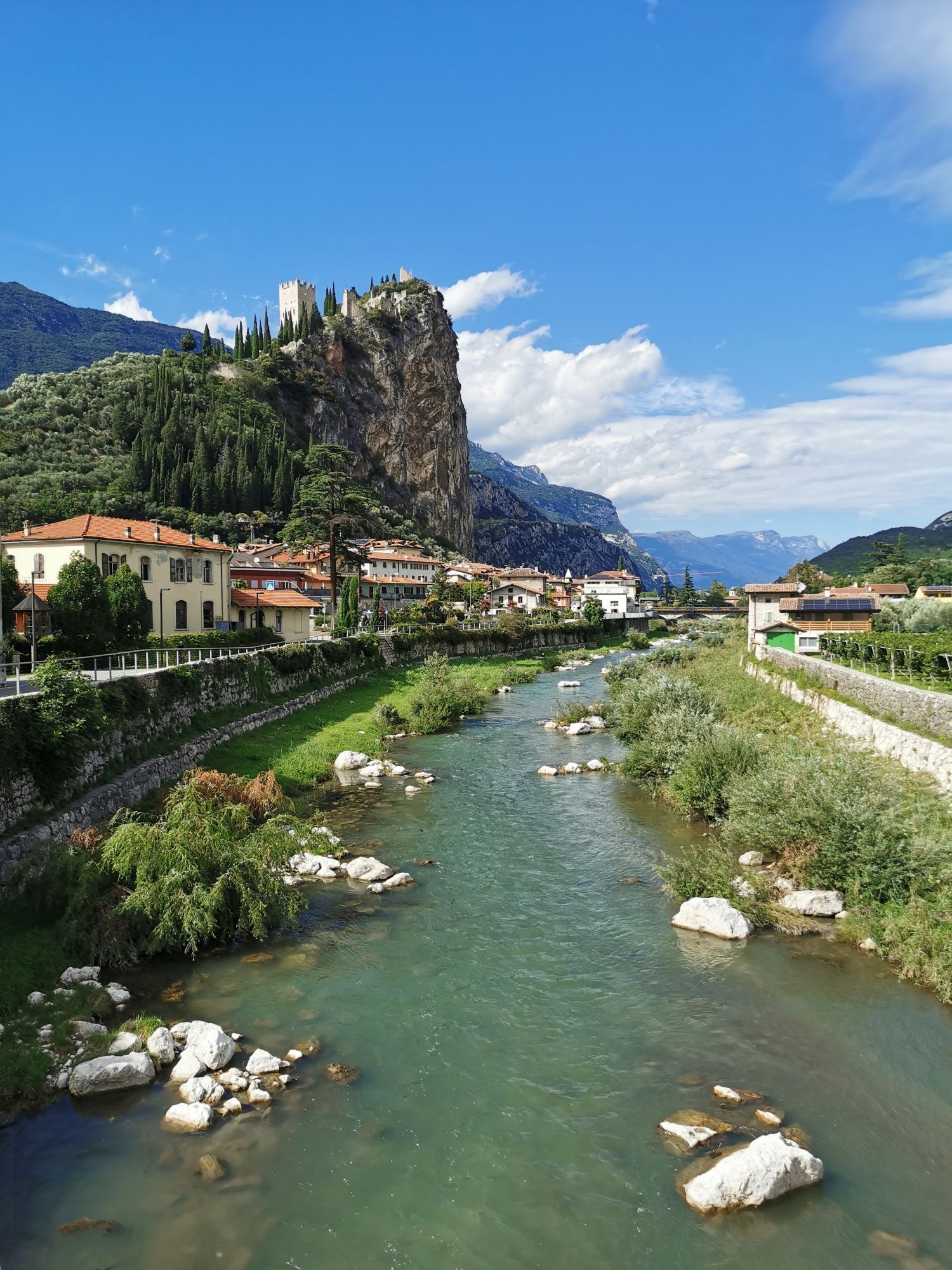
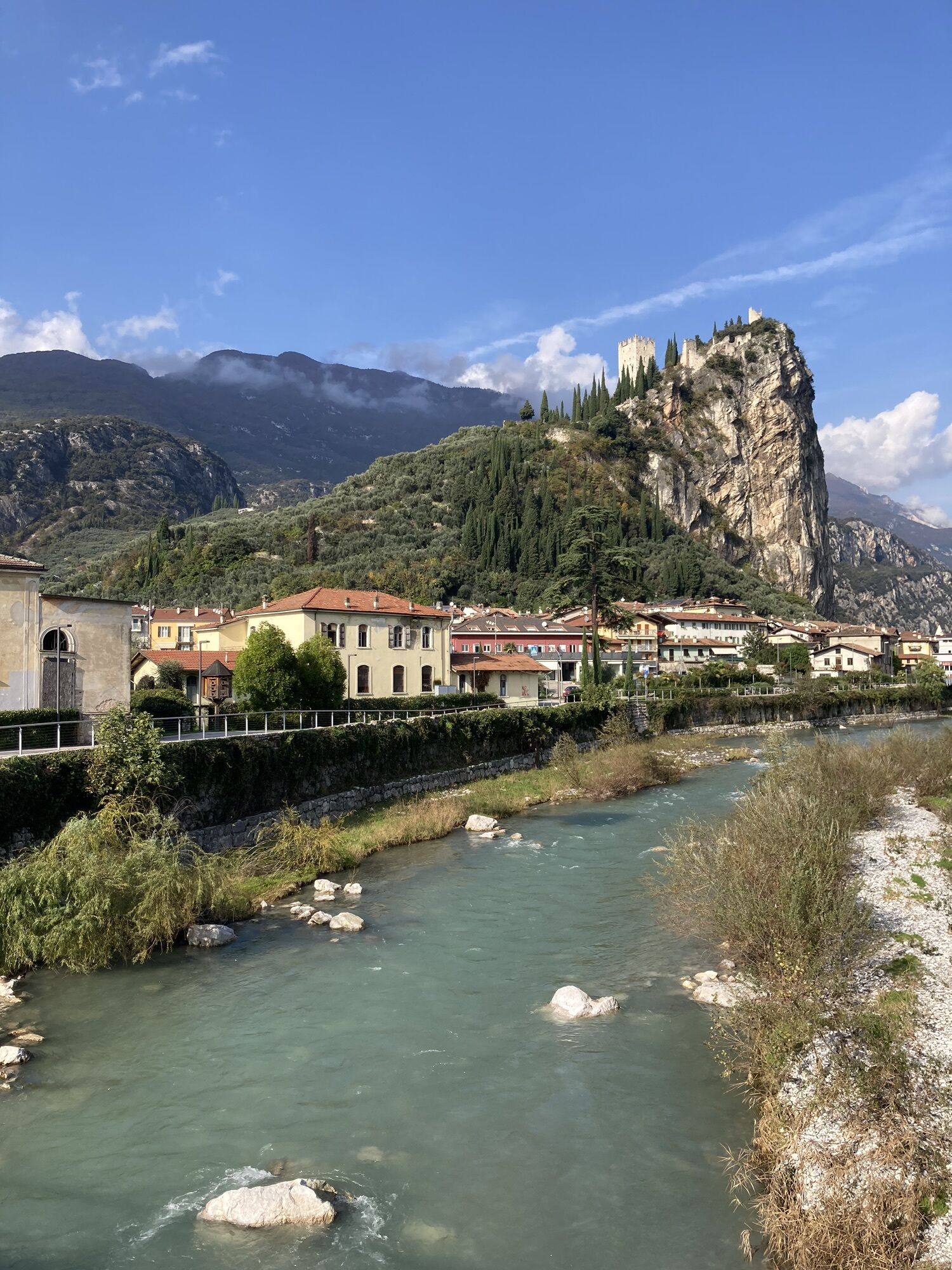
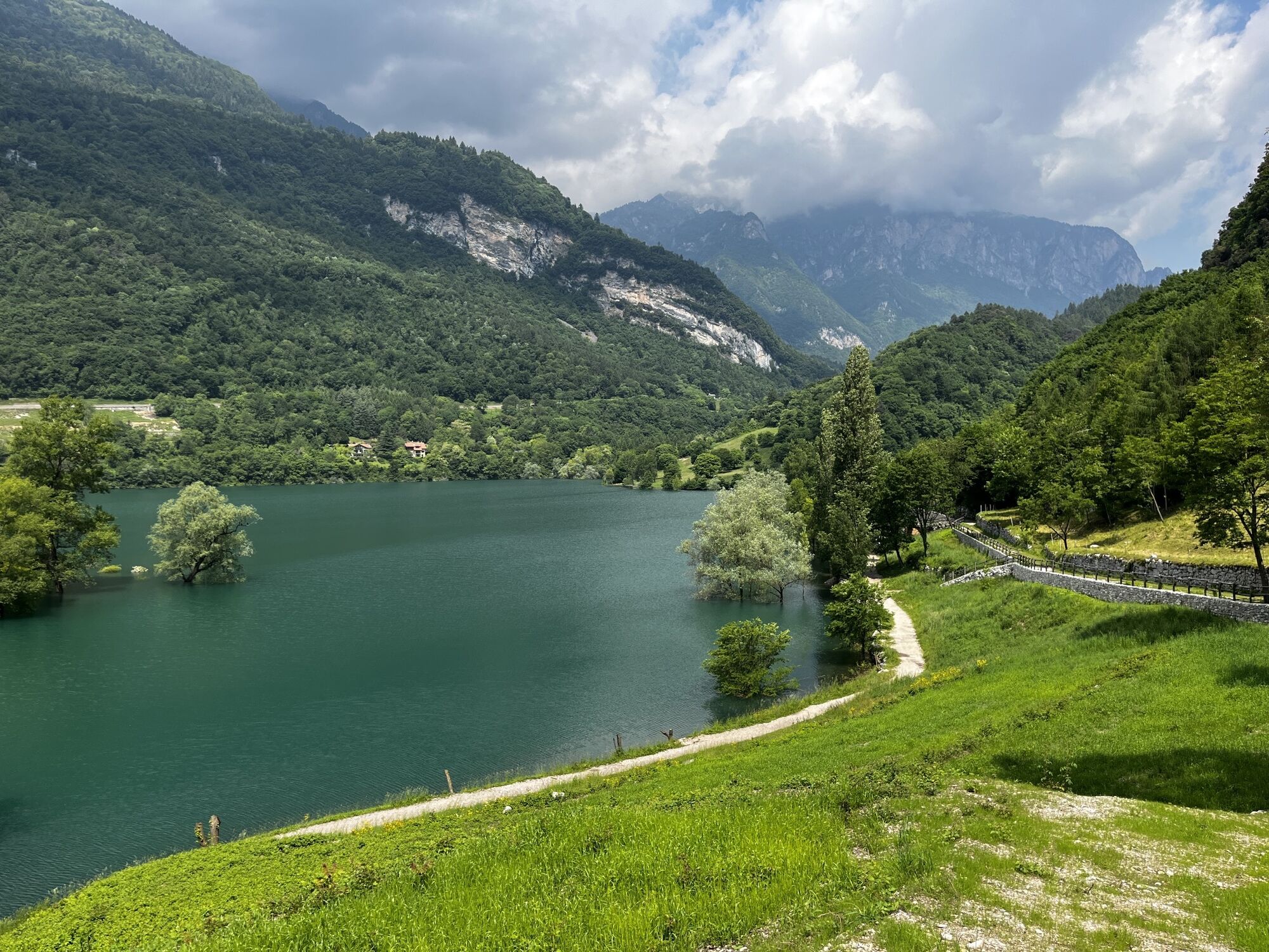
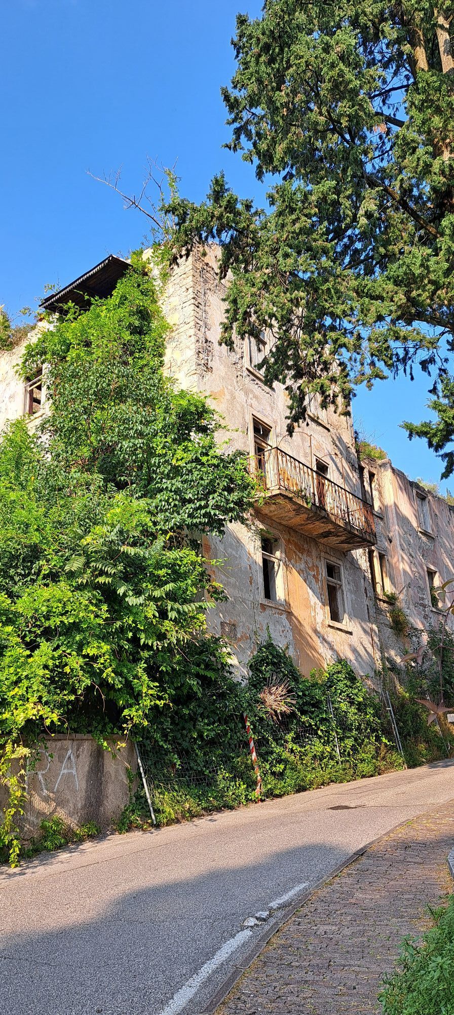
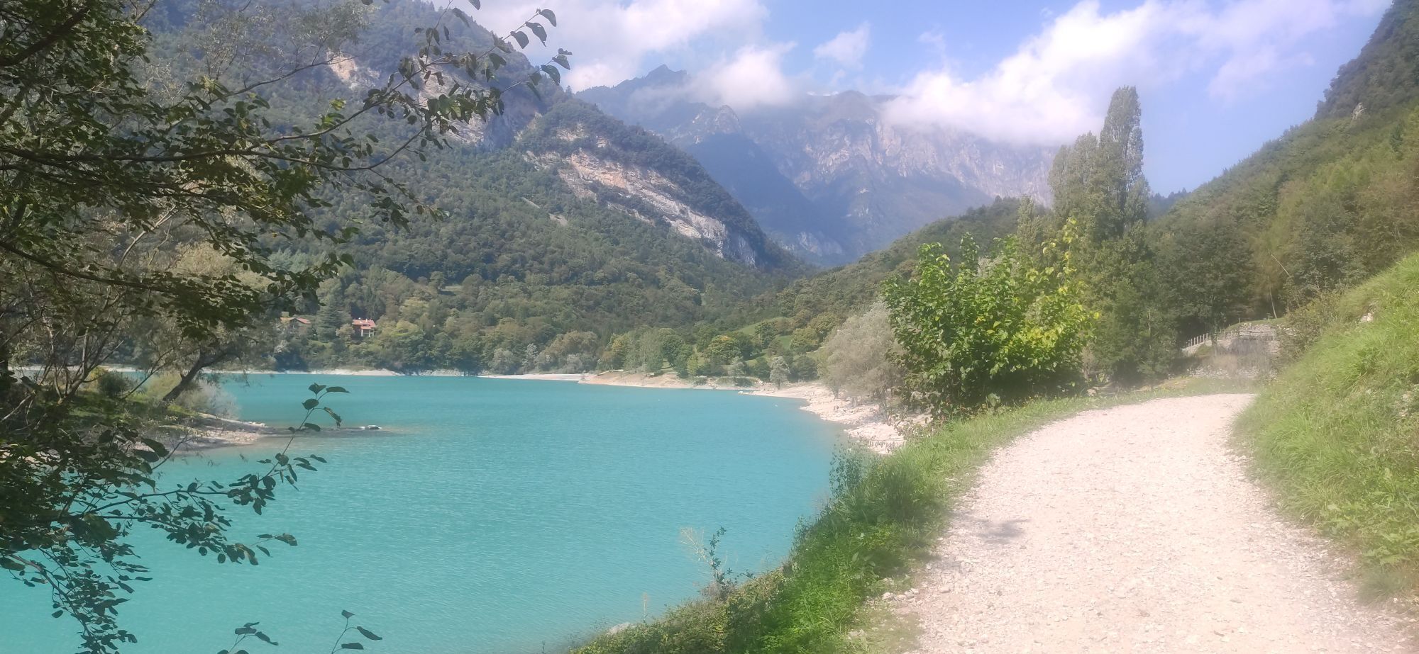
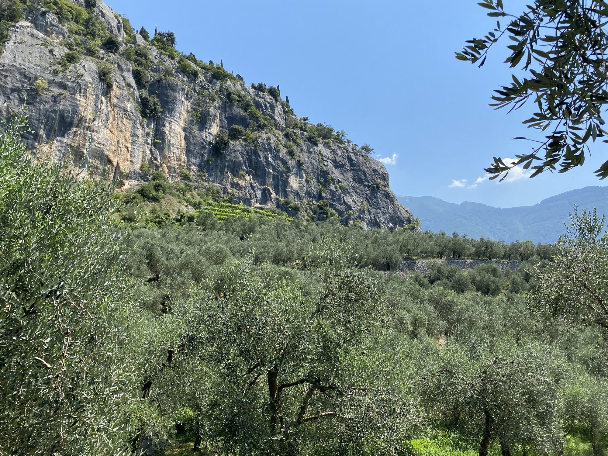
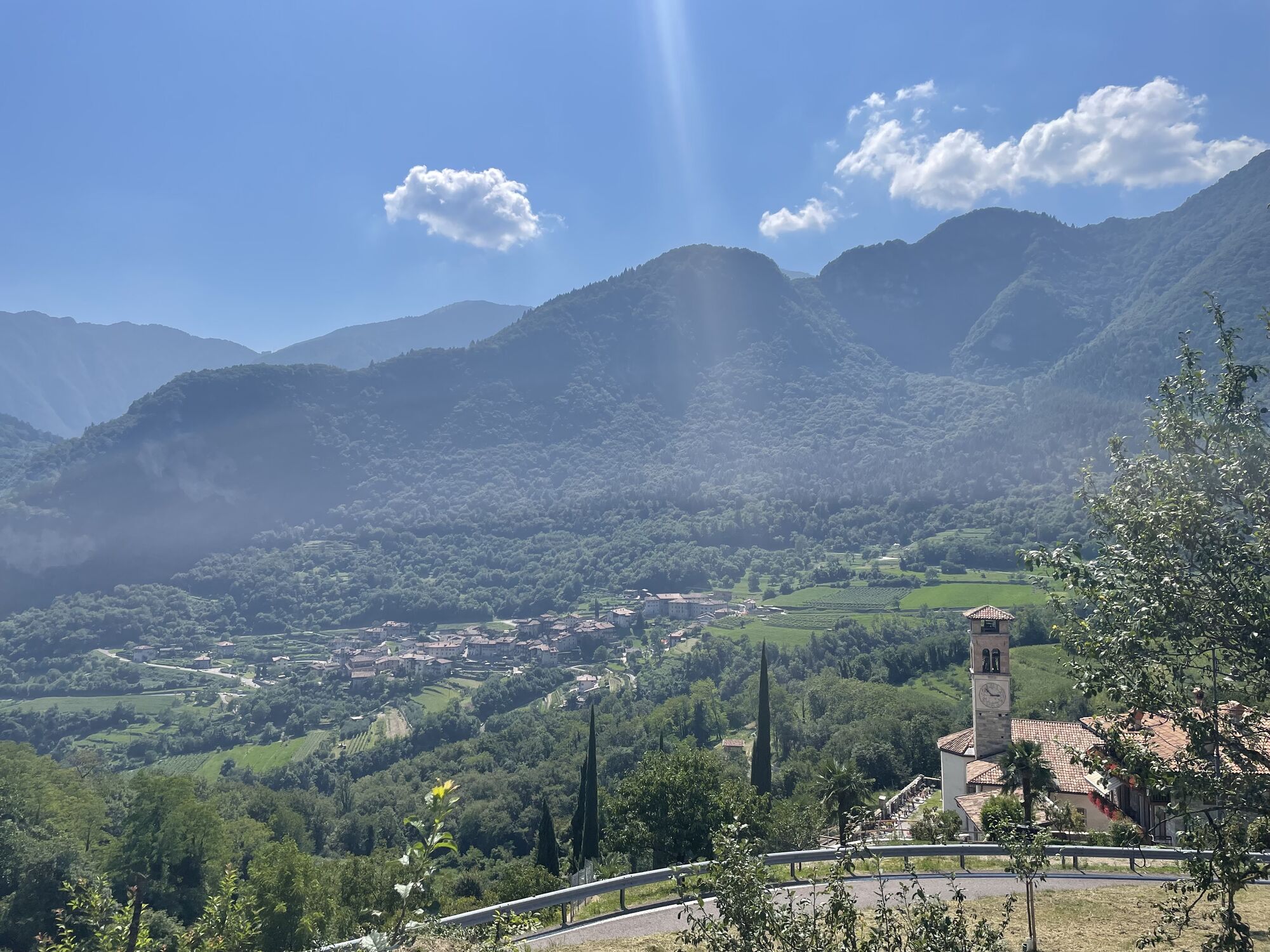
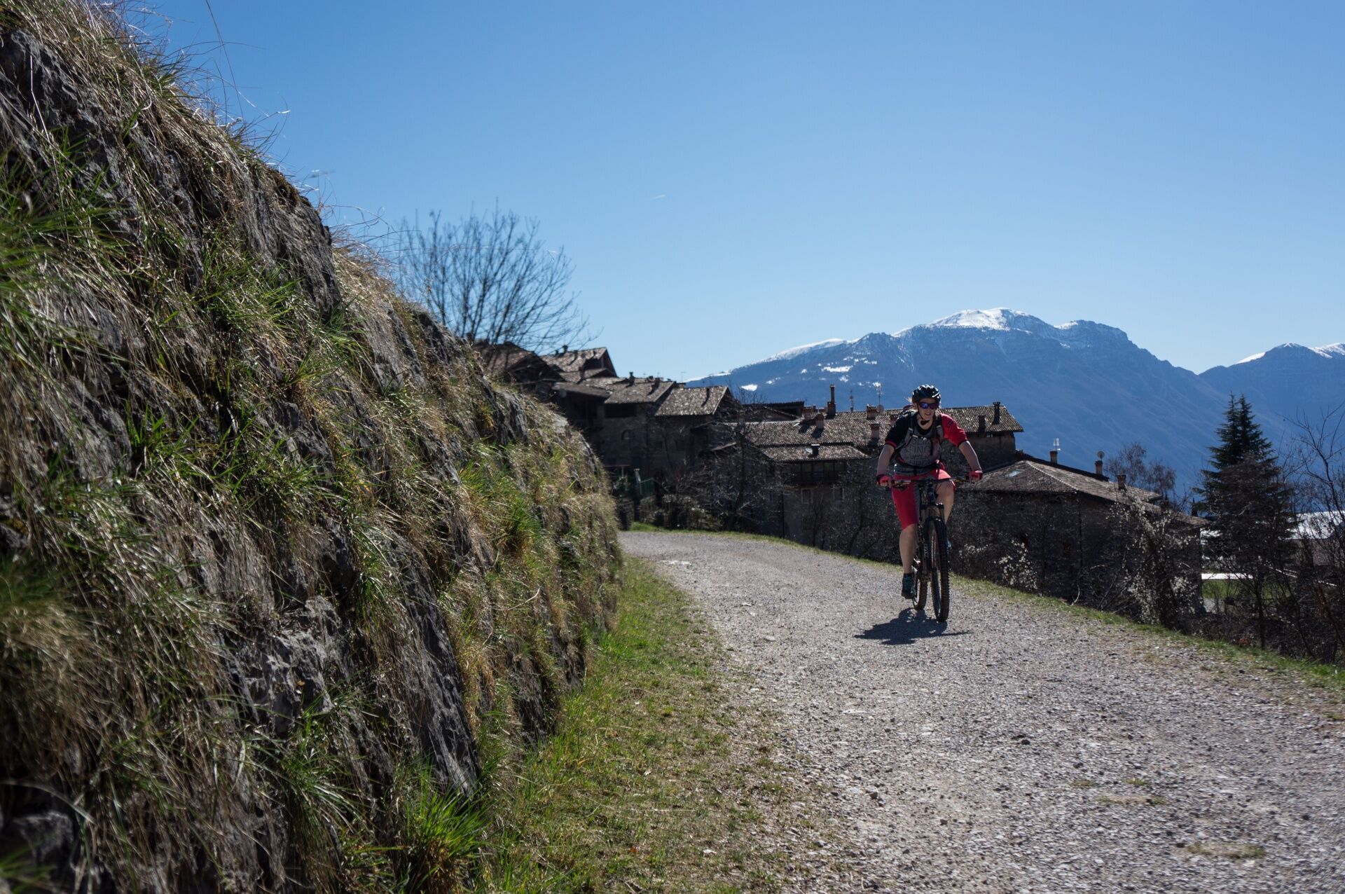
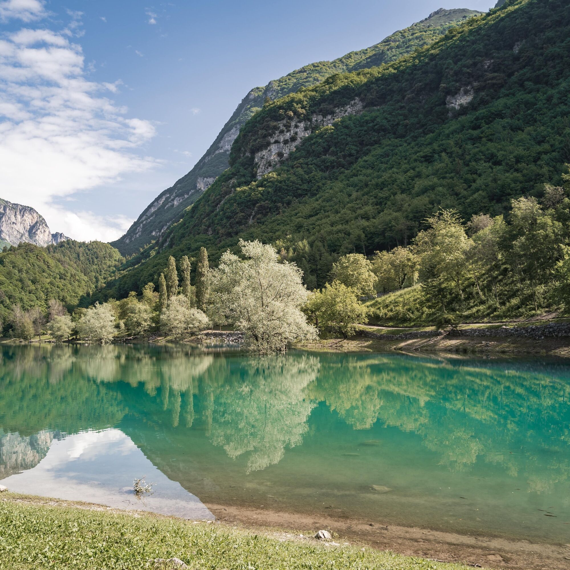
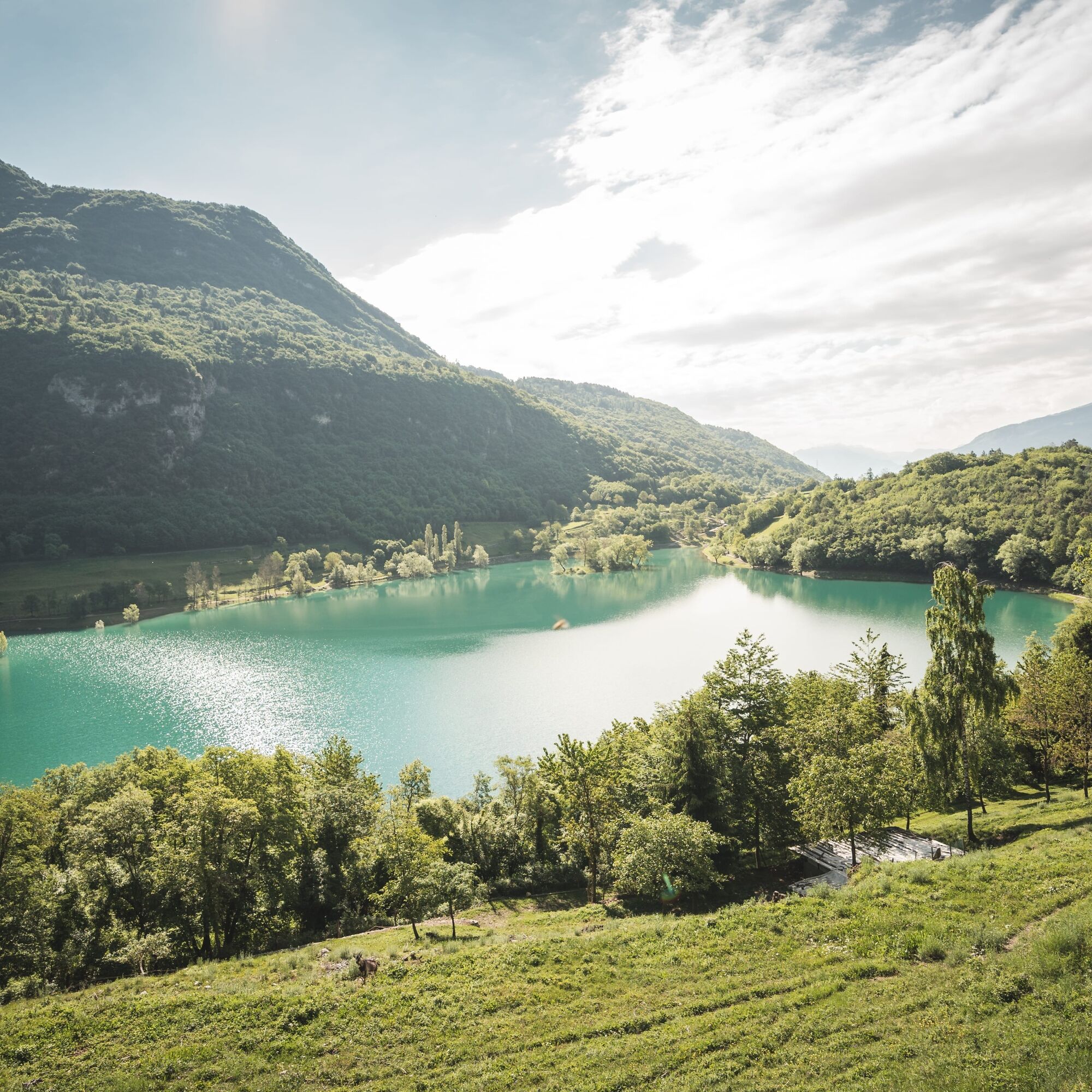
The downhill sections of this circuit are unforgettable, but so too is the ascent to San Giovanni al Monte. It may be easier to get there by road, but it’s far nicer to drop in on the typical regional villages of Varignano, Tenno and Canale di Tenno along the route, then cycle along Lago di Tenno. And we definitely recommend a rest or a quick dip in the glistening azure water. After that you pass Rifugio San Pietro and the hamlet of Vespana before ascending through shady woods to reach San Giovanni, a perfect place for a refreshing rest thanks to its mountain hut, fountain and stunning views. The subsequent descent to Arco is an enjoyable series of trails, forest paths and tarmac sections, some of them challenging, all of them varied and interesting.

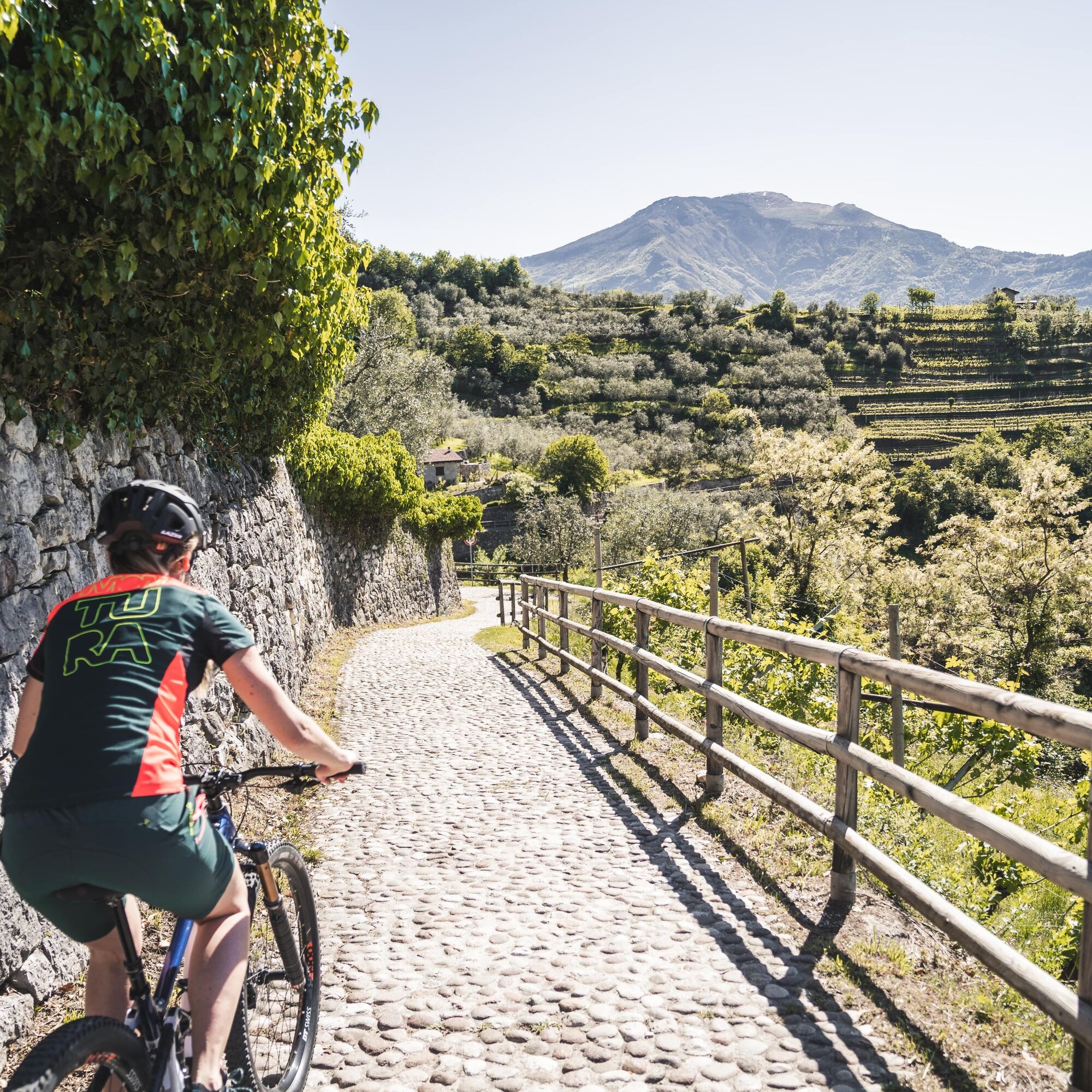
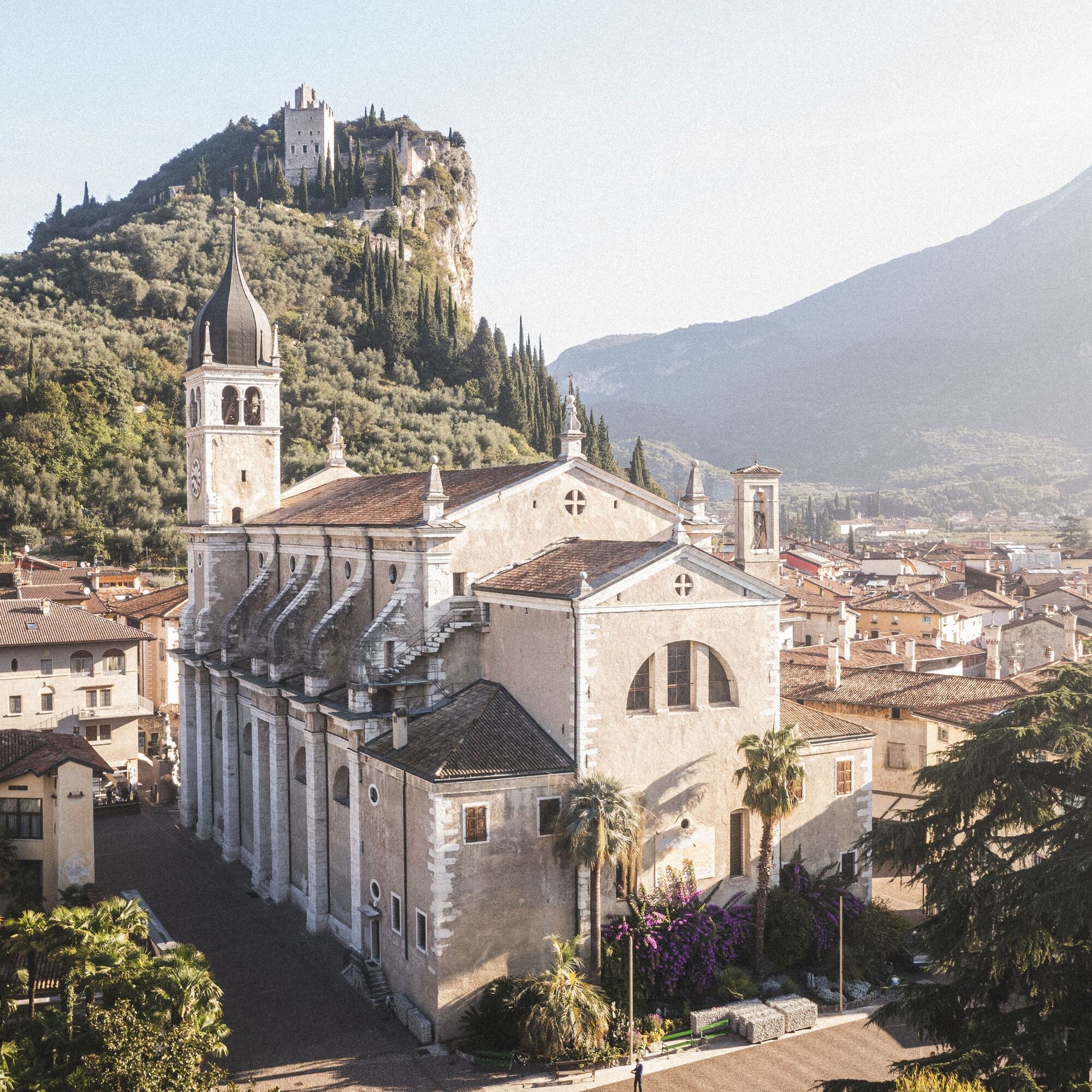
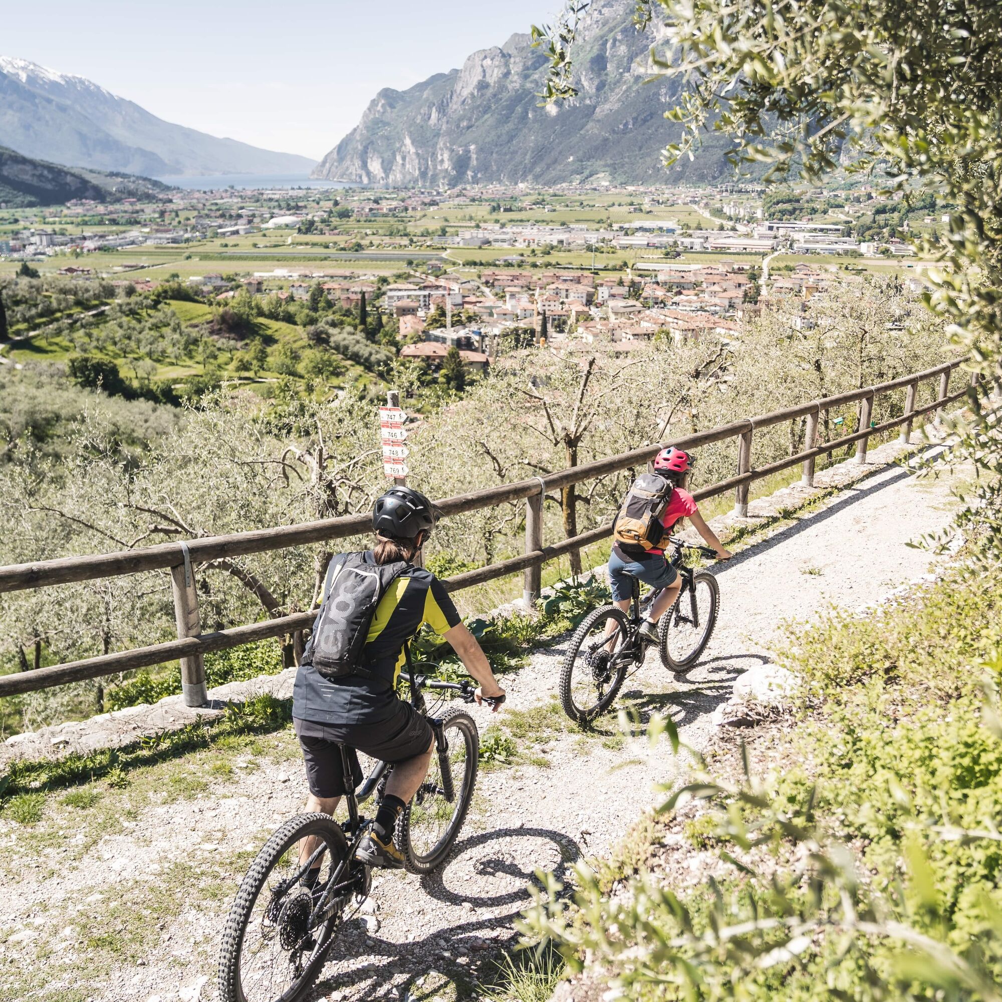
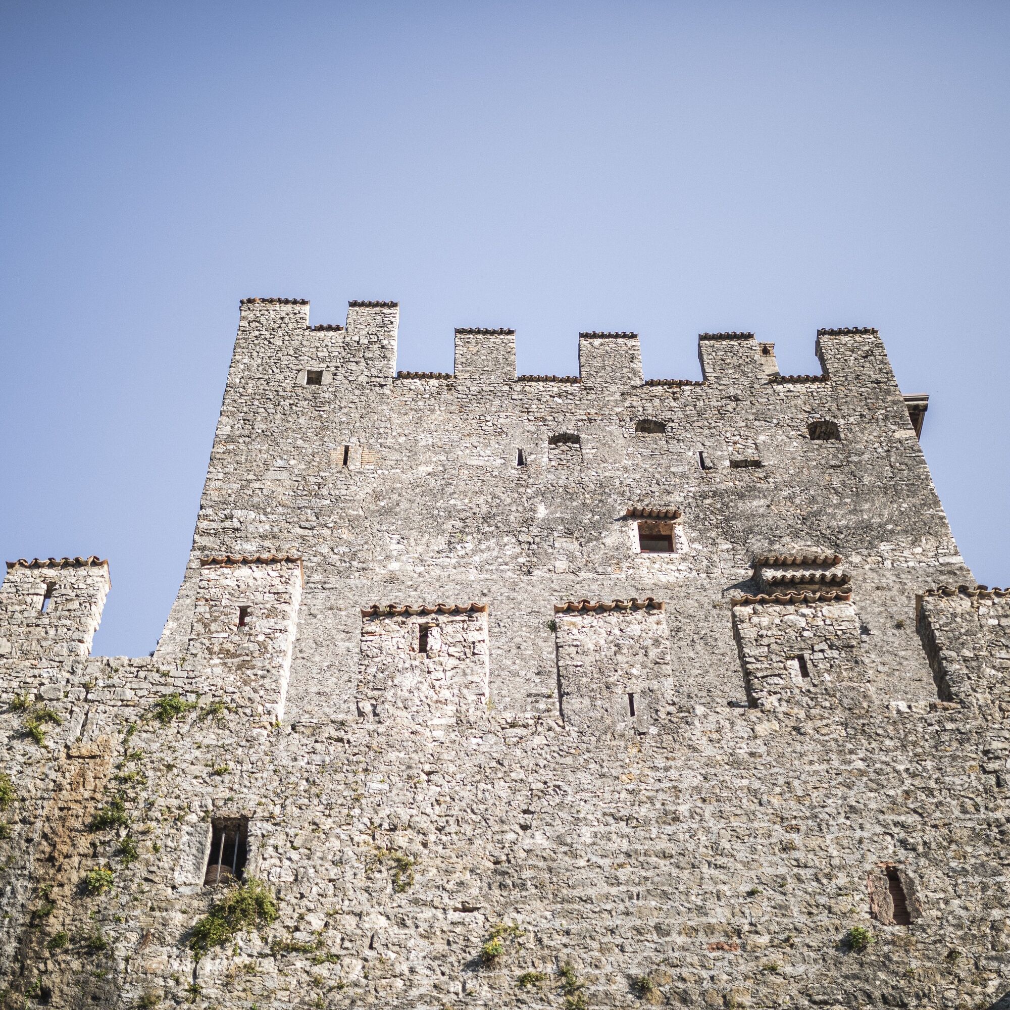
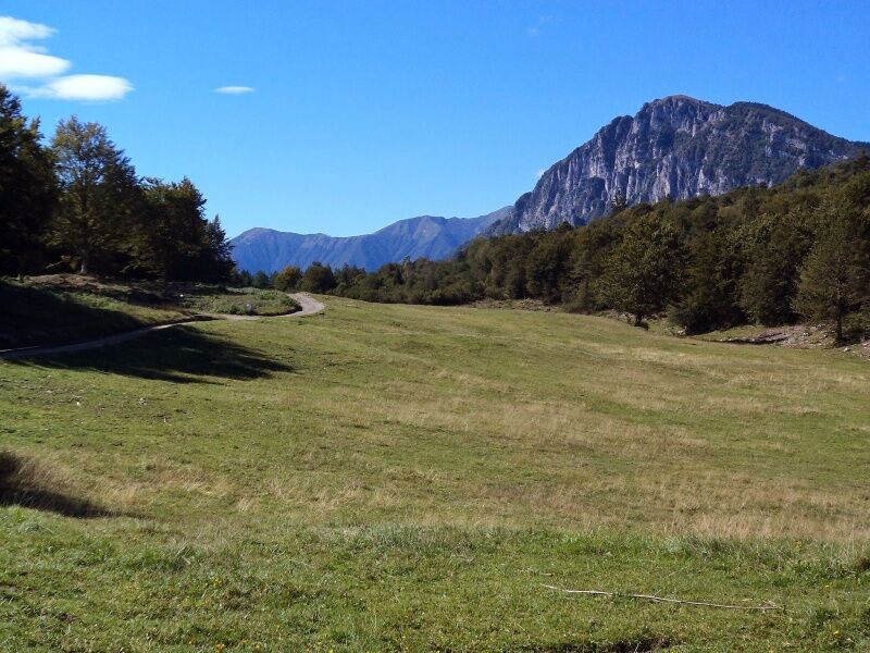
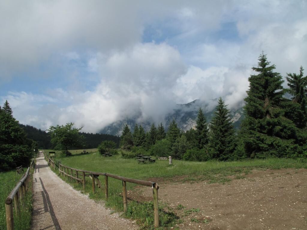
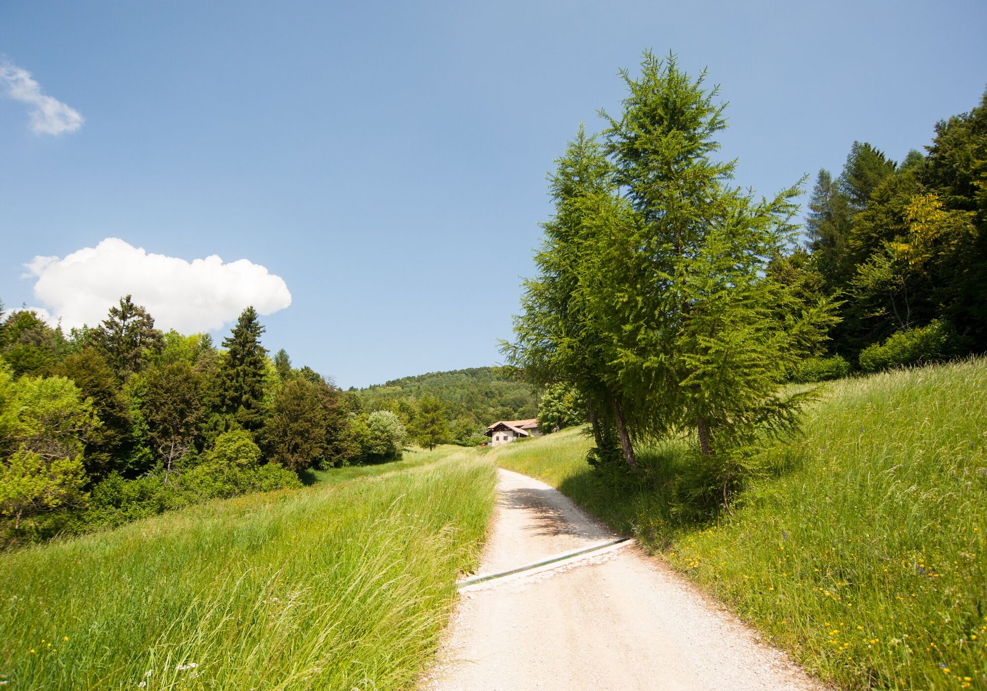
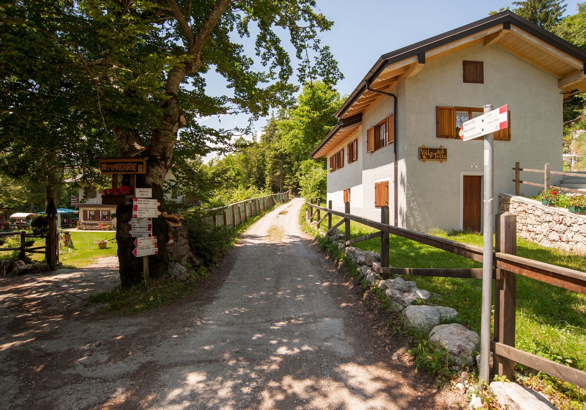
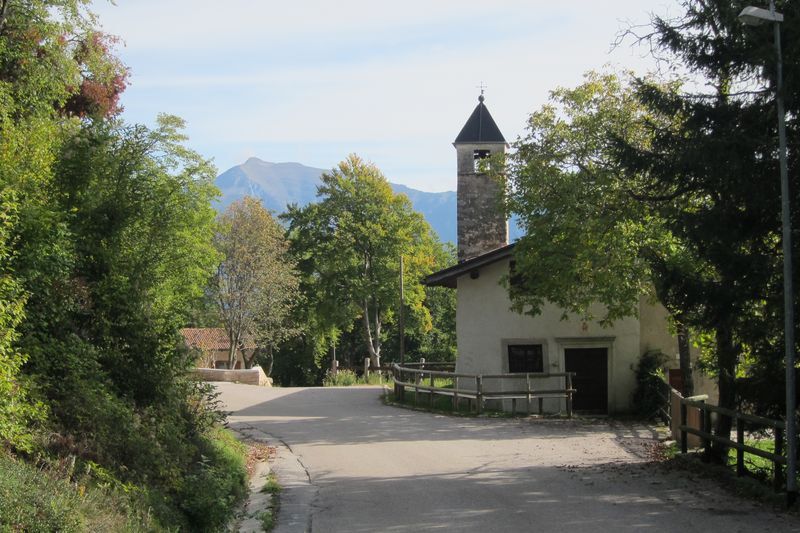
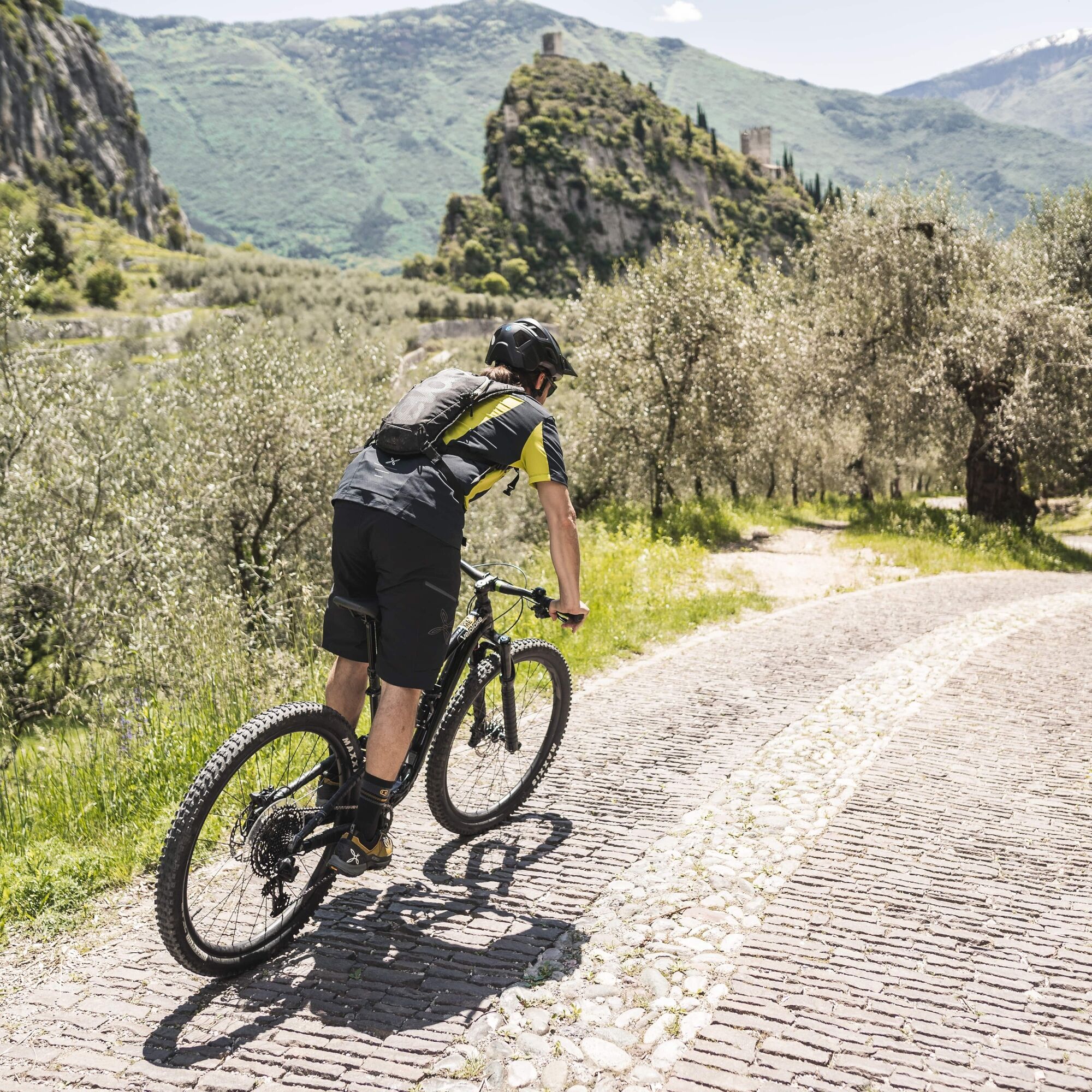
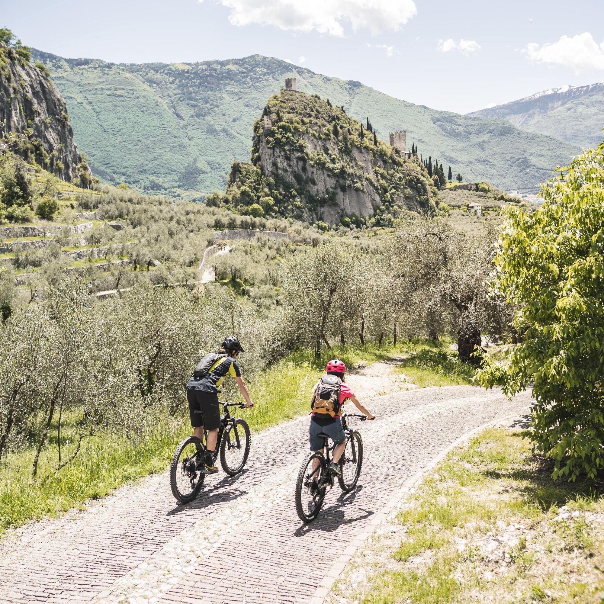


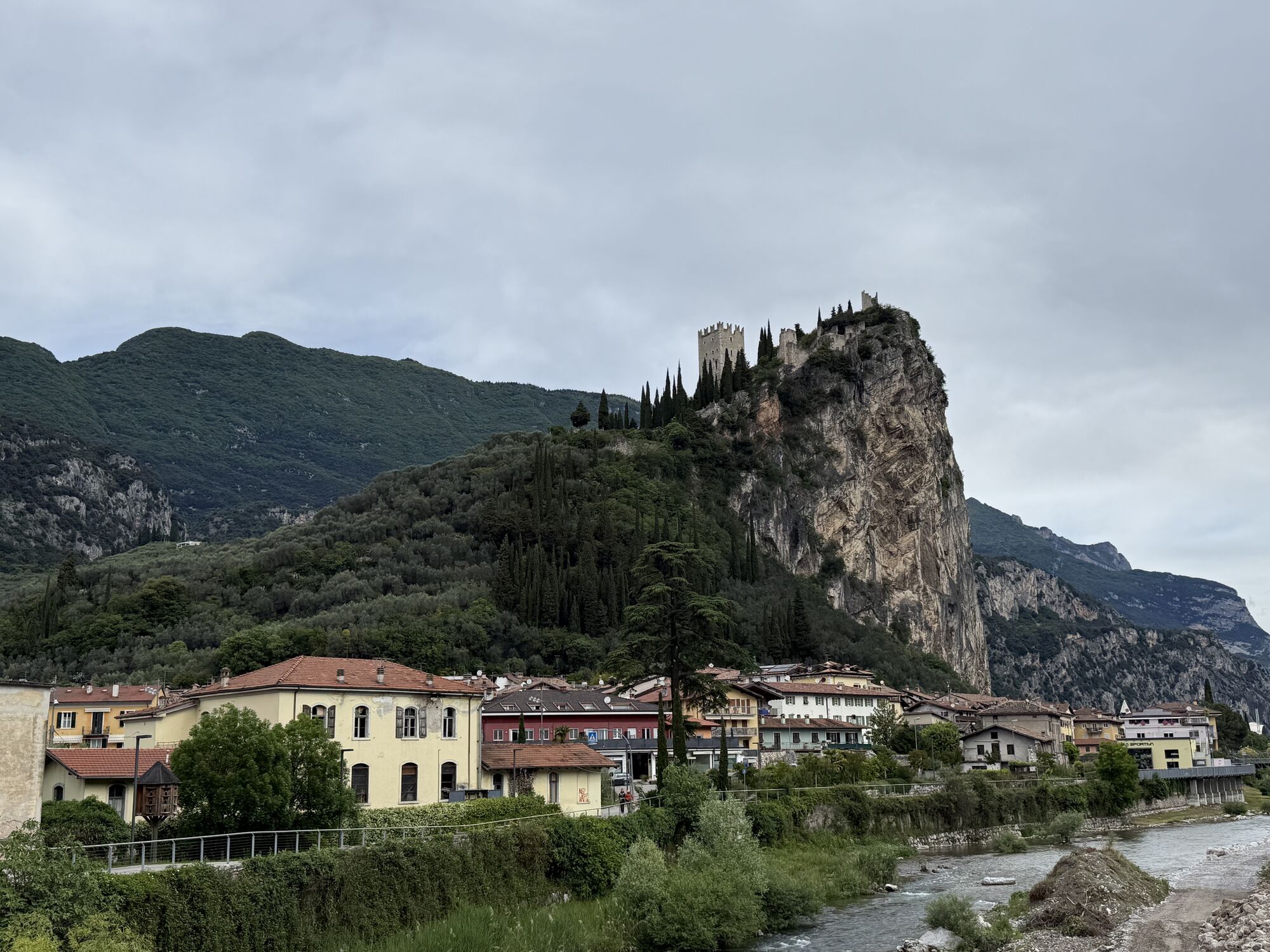
The starting point of the track is located on the cycle path, near to the Caneve car park. Following the signs, cross the river Sarca and continue towards the centre of Arco. Once you reach the church take the nearby Viale delle Magnolie. Continue straight on to Via dei Capitelli going past Arco hospital and the Eremo nursing home. Continue straight until you reach via Giuseppe Verdi where you turn right, and then left onto via Nicola Bresciani - reaching the village of Varignano. Following the directions for route 742, leave the church on your right and shortly after, near a fountain, turn left to find the start of the first demanding ascent. From here the route is very well signposted, so all of your energy can be concentrated into pedalling up and over the steep concrete ramps.
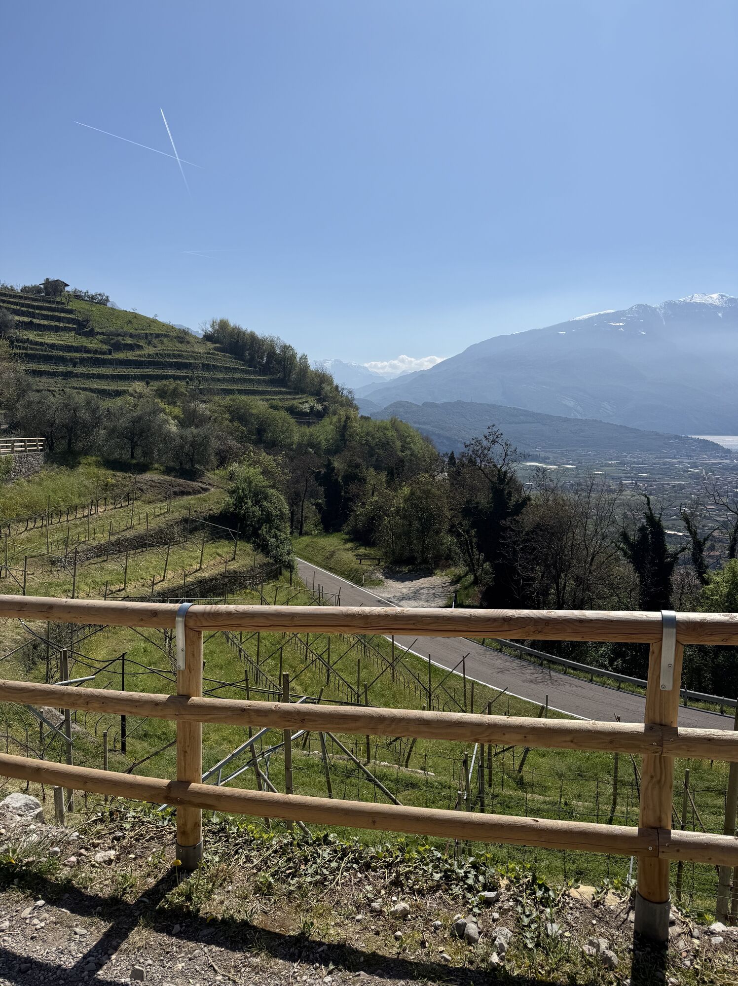
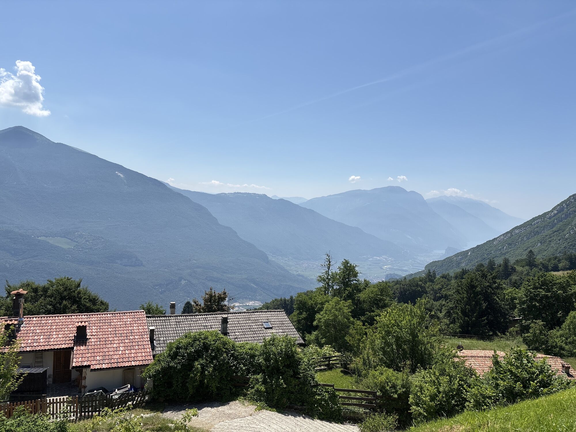
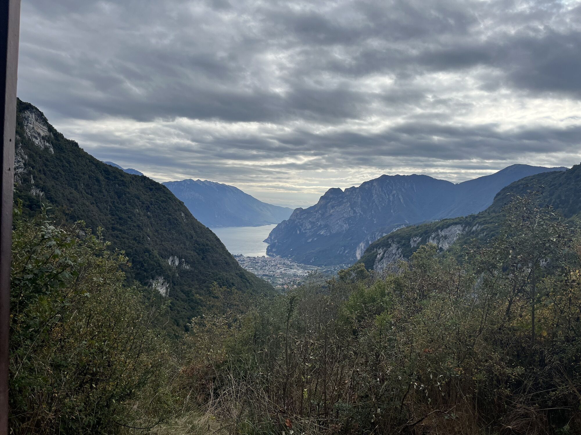
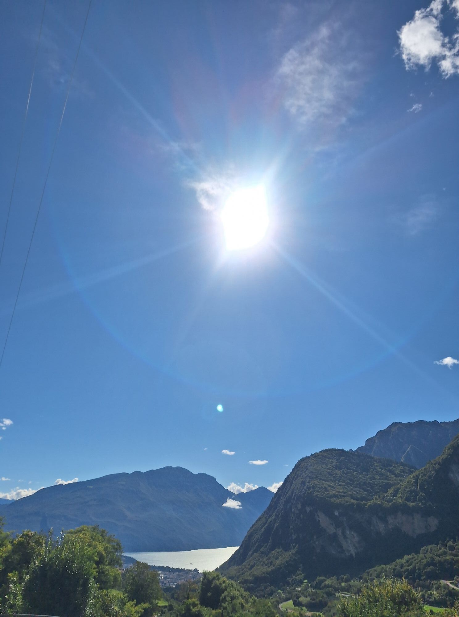
Follow the mixed terrain of gravel, and tarmac until you reach Volta di No. At the intersection with the main road to Tenno: at the corresponding hairpin bend, turn right and after a few dozen metres, turn left - as indicated by the signposts. Continue to climb on to the very beautiful Pil road, with slightly bumpy terrain but a more gentle gradient. The panorama of the Upper Garda region here offers a beautiful distraction from any fatigue.
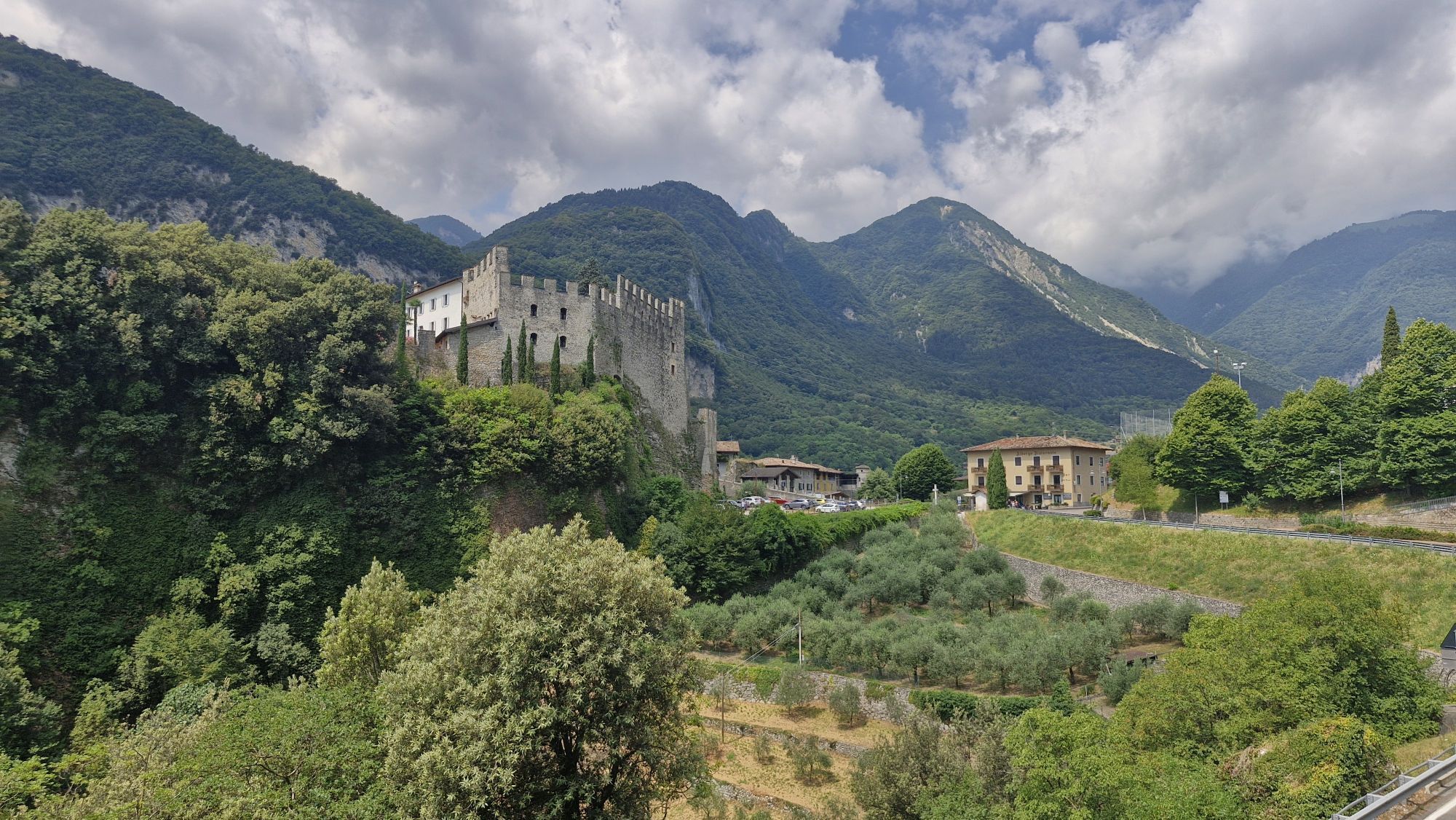
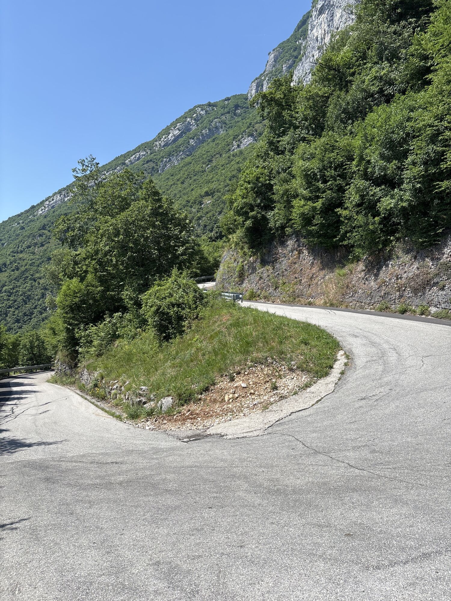
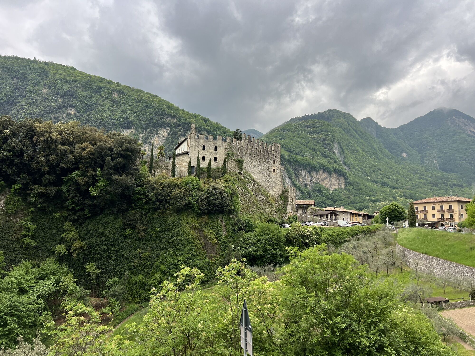
At the end of this climb, you will meet a secondary asphalt road with signs leading you to the left: to be for a short time, in the vicinity of Tenno Castle. Then turning right continue to climb on the main road to Tenno. Go up the two hairpin bends, then cross the carriageway taking the adjacent dirt road on the left that will lead you to Ville al Monte. Here, close to the church there is a fountain to refresh your water supplies. Once again at the main road, cross it continuing to the left and, after a few metres, turn right following the signs for borgo di Canale.
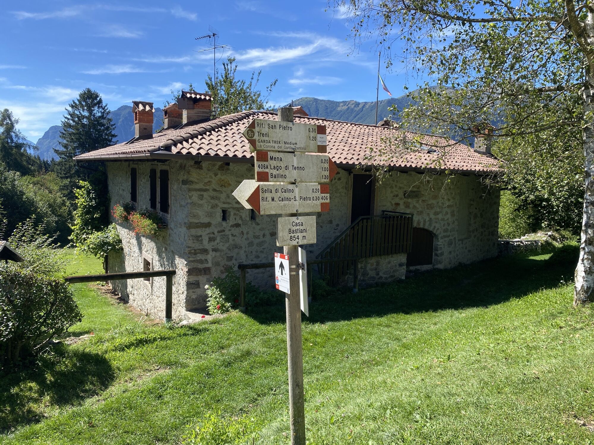
Follow the asphalted road that passes the villages of Canale and Calvola to reach the Croce Ci Calino, which takes a good bit of climbing. Route 742 takes you very close to the wonderful San Pietro Refuge, where you will continue straight to Calino. The route here is clearly marked and descends towards the locality of Vespana. This stretch is not particularly technical but the gradient in some parts reaches over 15% with rather loose terrain. As always we advise you to ride with your individual ability and speed in mind.
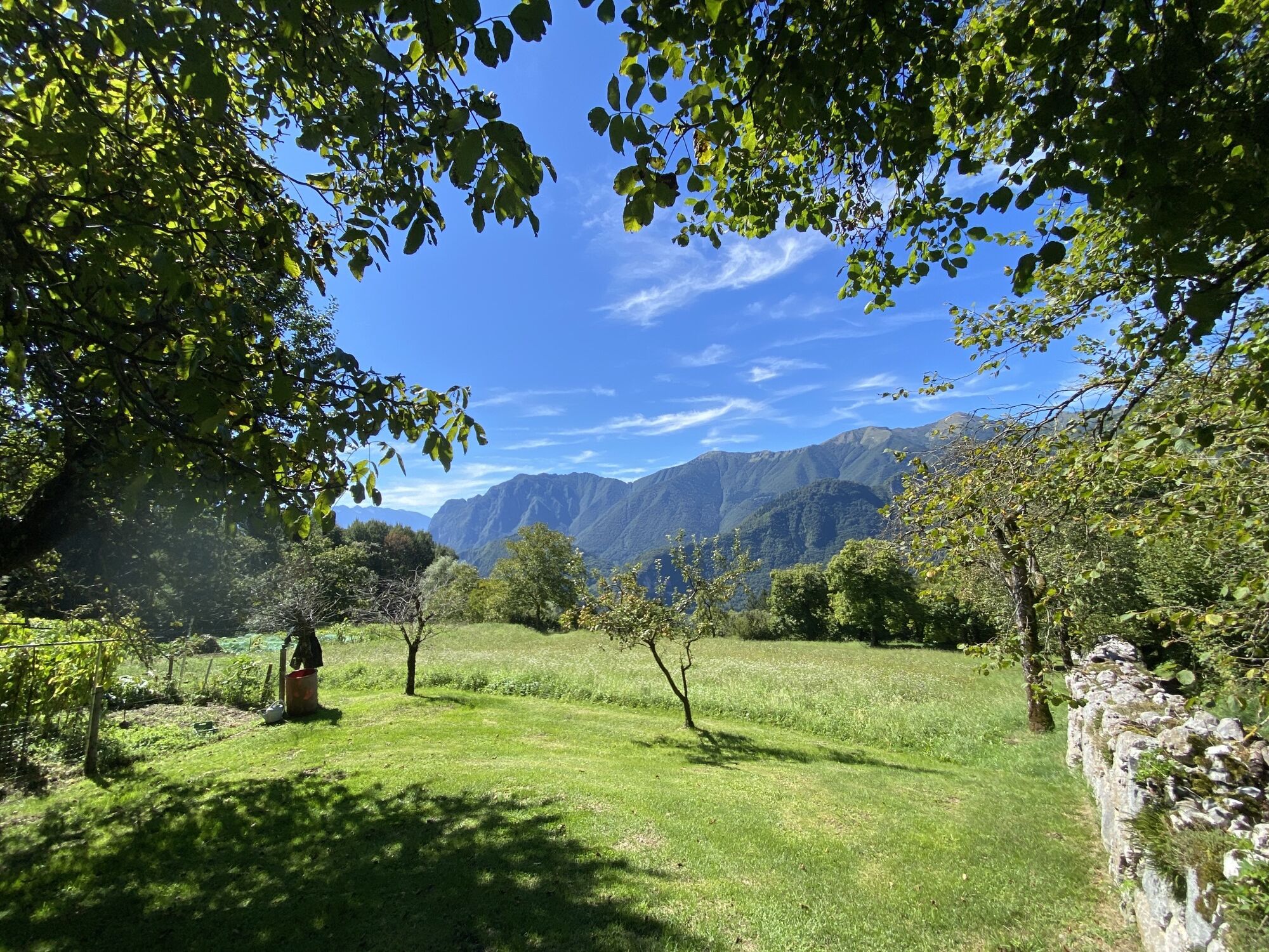
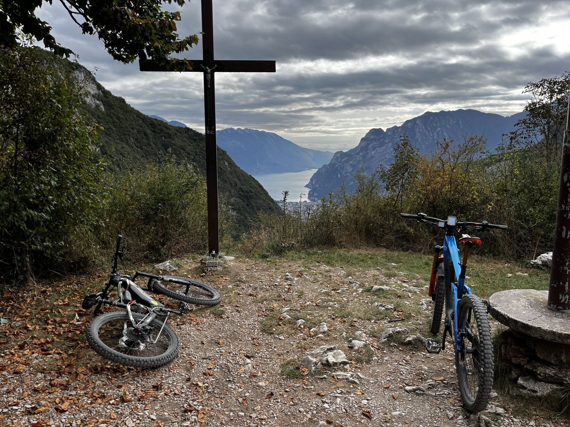
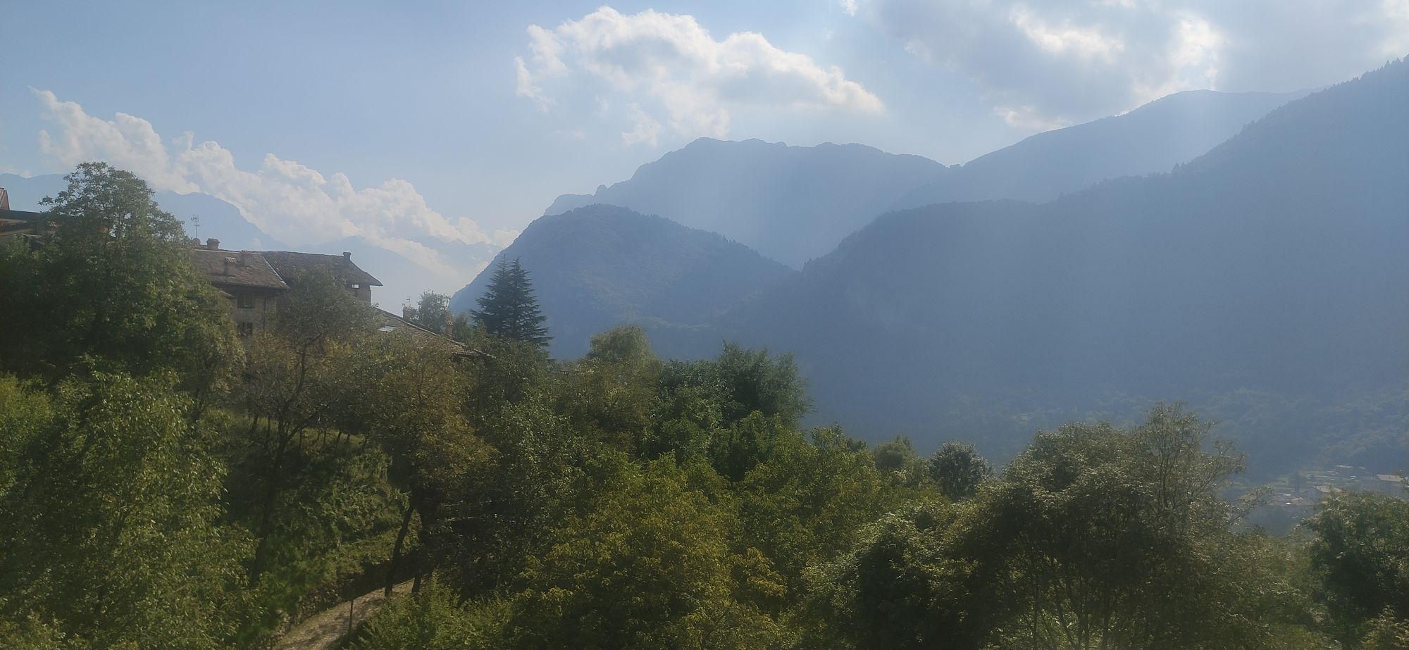
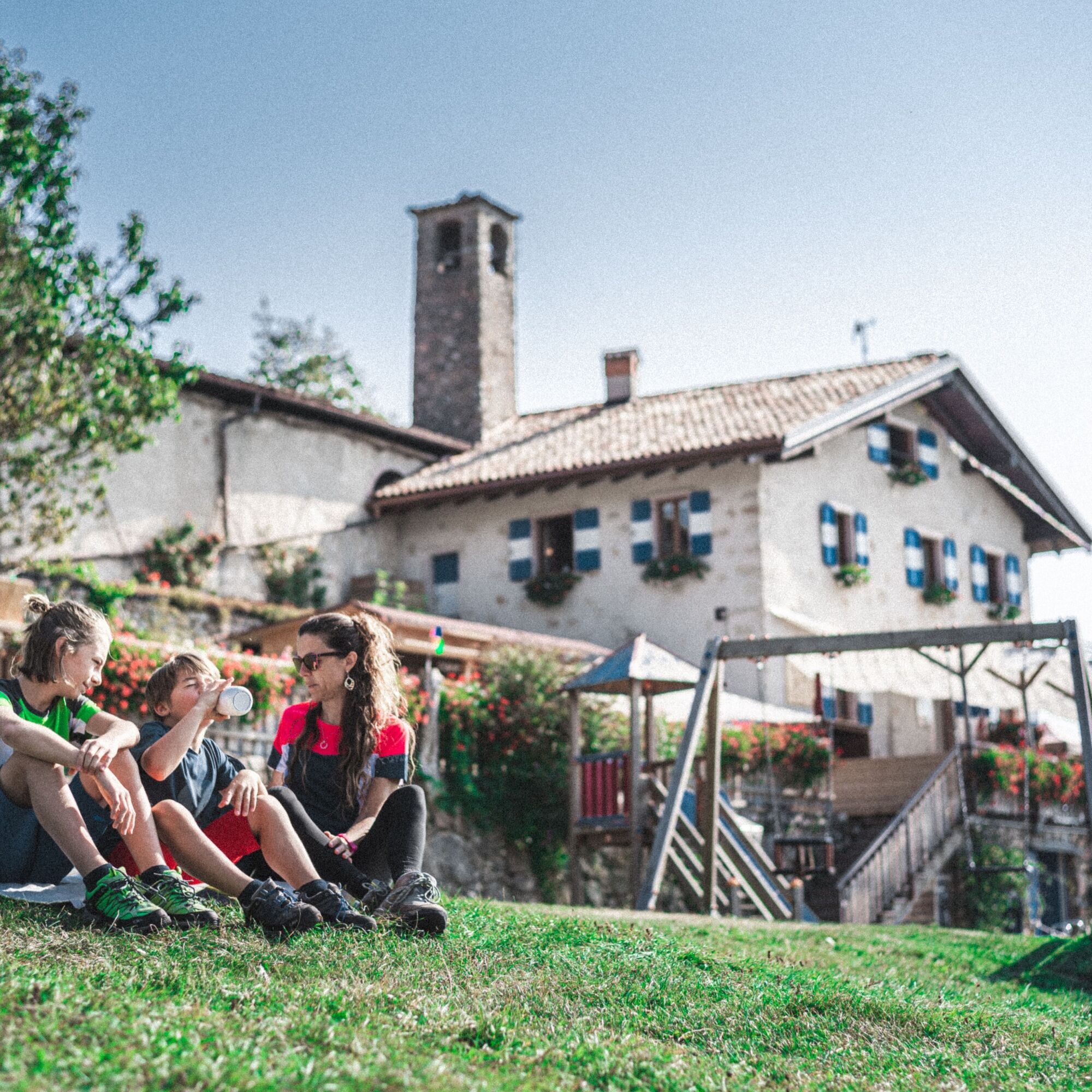
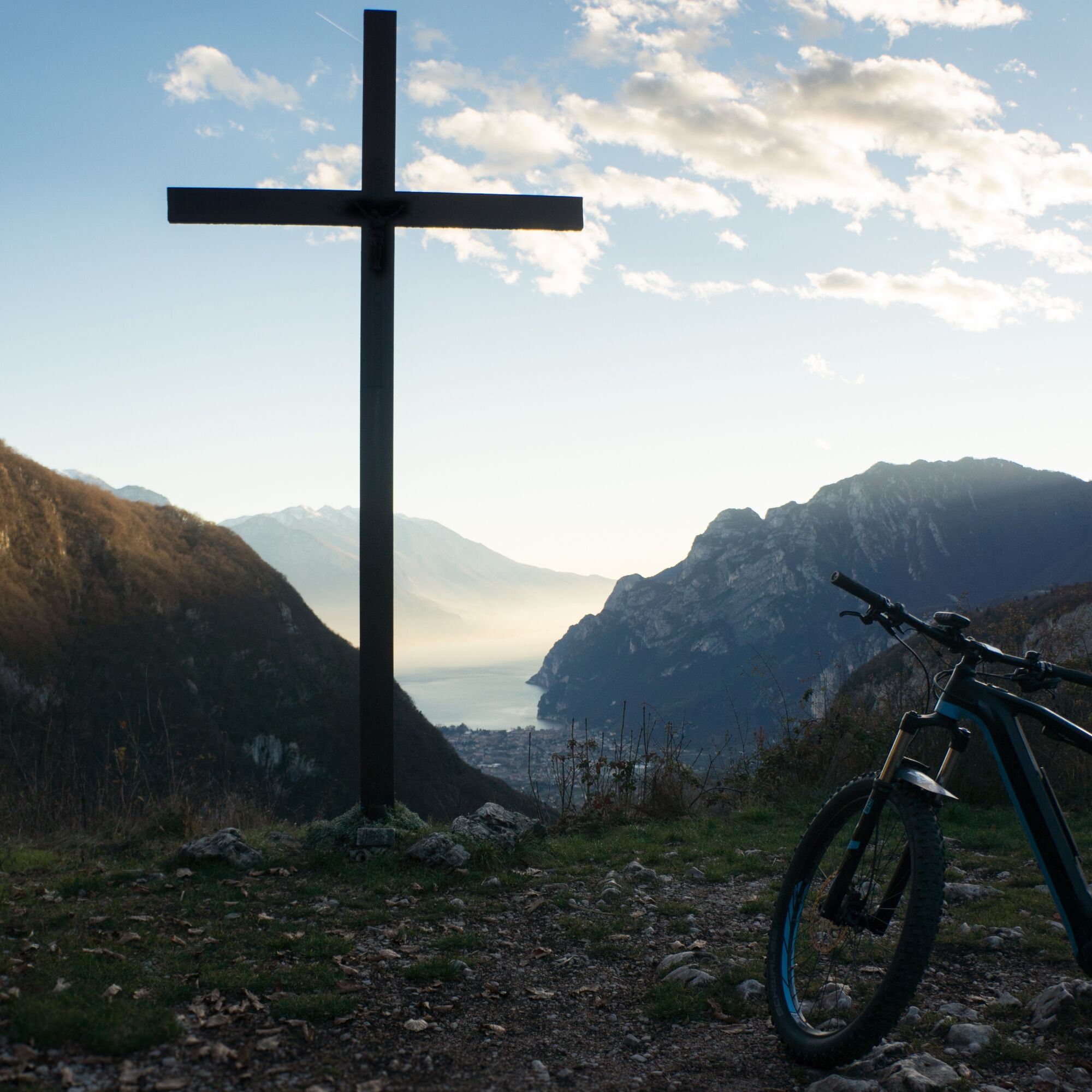
Once in Vespana, as guided by the route signage, keep right towards the locality of Treni where you will face another challenging climb. Take a pause at the cross of Bondiga to admire the breathtaking panorama. Then, with legs and lungs slightly refreshed continue your ascent through the forest road up to the Dosso della Vecchia. At this point the hard work is not yet over. However, the gradient becomes more undulating and forgiving as you head towards the town of San Giovanni al Monte. Here you will be pleased to find another fountain and a popular refreshment spot for cyclists: Malga San Giovanni. Continue to descend on the asphalt road, then a few hundred meters from the town, route 742 leads to the left.
For those of you wanting more of a challenge, follow the signage for route 425 - leading to a rather technical descent with a considerable gradient, and unstable terrain. When you reach the main road remember to stay on the righthand side, following it down to Mandrea. Where, a little way after you must keep left to take a mule track. Once again you reach the main road which you quickly leave again before the village of Padaro, by taking a narrow trail on the left. Skirting along a fence, you will face another uphill section. Here the terrain does nothing for one’s on-bike comfort, but it’s only the prelude to another challenging descent! The first part of which is rather exposed, becoming increasingly steep and technical.
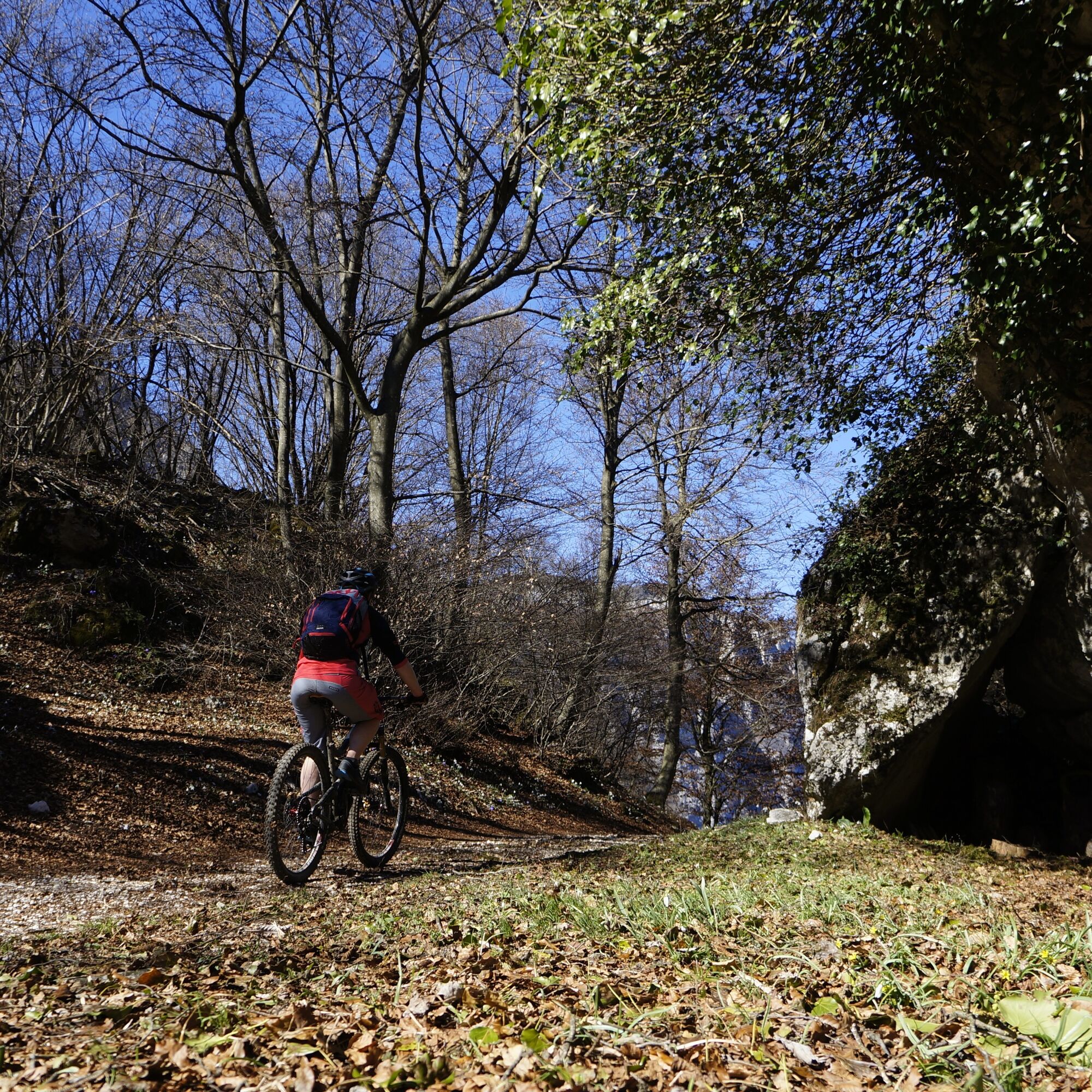
Once you have identified the narrow trail (If in doubt look for the red and white painted symbols) its various crossroads in the woods are clearly indicated once again by the 742 route signage. Needless to say, ride according to your skills and please don’t take unnecessary risks. It is said that on the rocky sections it is better to walk, than to fall! At the exit of the trail, turn right following the road to the church of Santa Maria di Laghel. Continue to the right following the road until Arco, your original starting point.
Riding your bike requires specific clothing and equipment, even for relatively short and easy trips. It is always better to be prepared… e.g. for bad weather or a sudden drop in your energy levels. The unexpected things are part of the fun!
Remember to thoroughly evaluate the type of route you plan on doing, the locations you intend to cross and the current season. Has it been raining? Attention: The paths may be slippery and require more caution.
What do I need to bring on my bike tour?
An adequate water supply according to your needs (considering temperature, possibility of refuelling and duration of the route) Plenty of snacks (for example, dried fruit or energy bars) Waterproof / Windproof jacket A spare top / spare socks (Descending in a sweaty garment, will make you cold). Suncream Sunglasses Bike gloves/mitts Map or GPS device Bike lights: best placed on your helmet or handlebars. (It is always best to be prepared) Bike repair kit for punctures and mechanical breakdowns First aid kit Emergency whistleIt is always advised to let someone know where you plan to go and how long you expect to be.
Emergency telephone number 112.
ITRS - International Trail Rating System
The ITRS is an objective way to assess trails and routes from a biker’s perspective, evaluating four aspects:
Technical Difficulty: riding skill level needed Endurance: combined effect of length, uphill and downhill Wilderness: amount of planning required based on mobile phone reception, rescue options, water supply and wildlife Exposure: consequences of a fallDiscover more about the ITRS system and check the classification of this tour in the photo gallery.
Safety Tips
Always wear your helmet. Plan your ride. You share the trail with other users. Yield right of way to hikers. Let your speed be determined by your experience. Ride slowly on crowded trails, overtake with politeness and respect. Cycle only on authorized and open trails. Avoid muddy trails in order not to damage them further. Respect public and private property. Always be self-sufficient. Do not cycle solo in remote areas.This information is subject to inevitable variations, so none of these indications are absolute. It is not entirely possible to avoid giving inexact or imprecise information, given how quickly environmental and weather conditions can change. For this reason, we decline any responsibility for changes which the user may encounter. In any case, it is advisable to check environment and weather conditions before setting out.
Find out how to reach Garda Trentino.
The main towns in Garda Trentino - Riva del Garda, Arco, Torbole sul Garda, Nago – are connected by several urban and intercity bus lines which will take you to the starting point of tours or in the immediate surroundings.
You can also get to Riva del Garda and Torbole sul Garda by the public ferry service.
Up-to-date information on timetables and routes.
Parking in Caneve (5 minutes walk to the town centre).
Paid parking: Foro Boario, near the bridge (Via Caproni Maini) or the post office (Via Monache).
▲
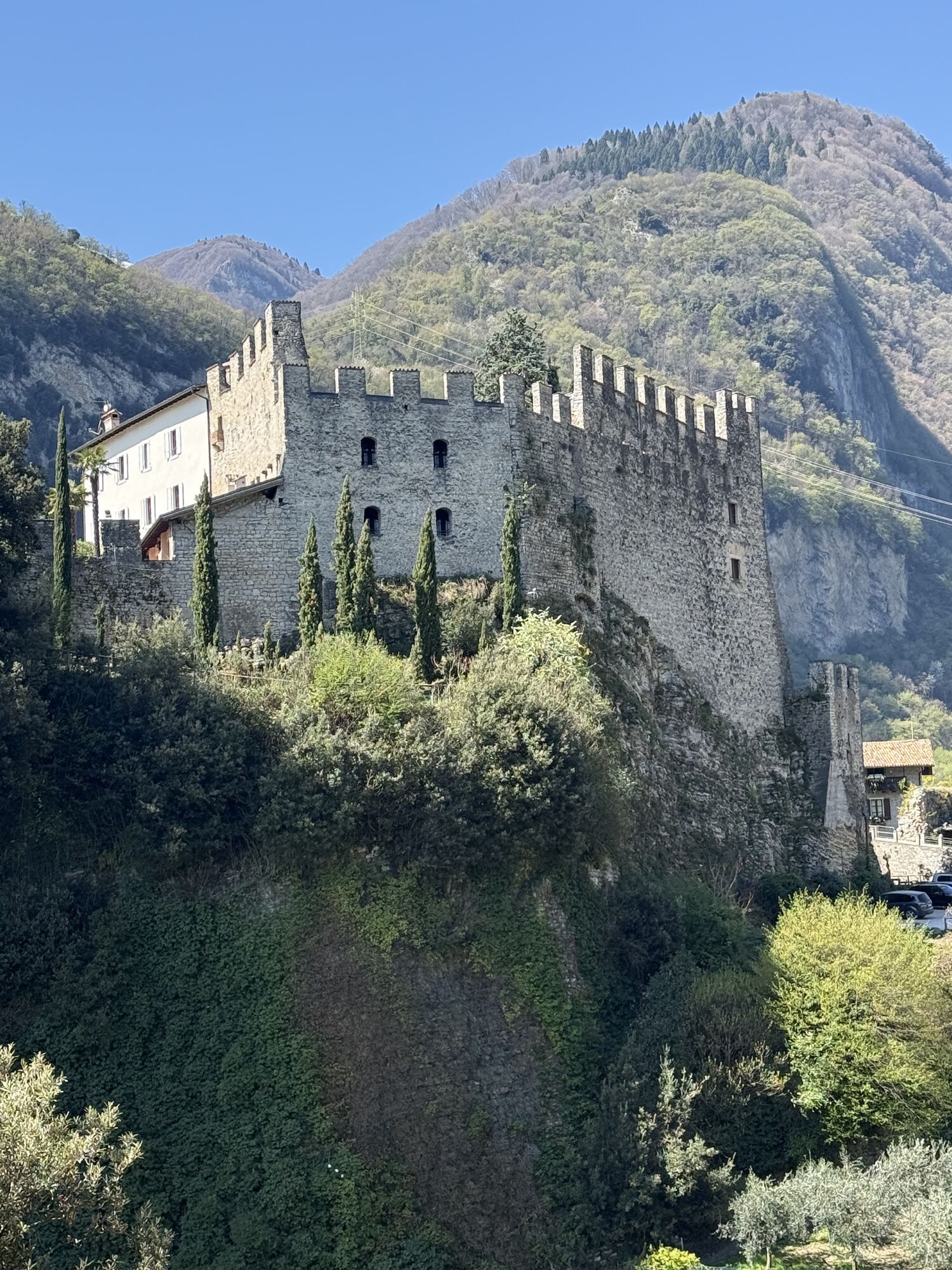
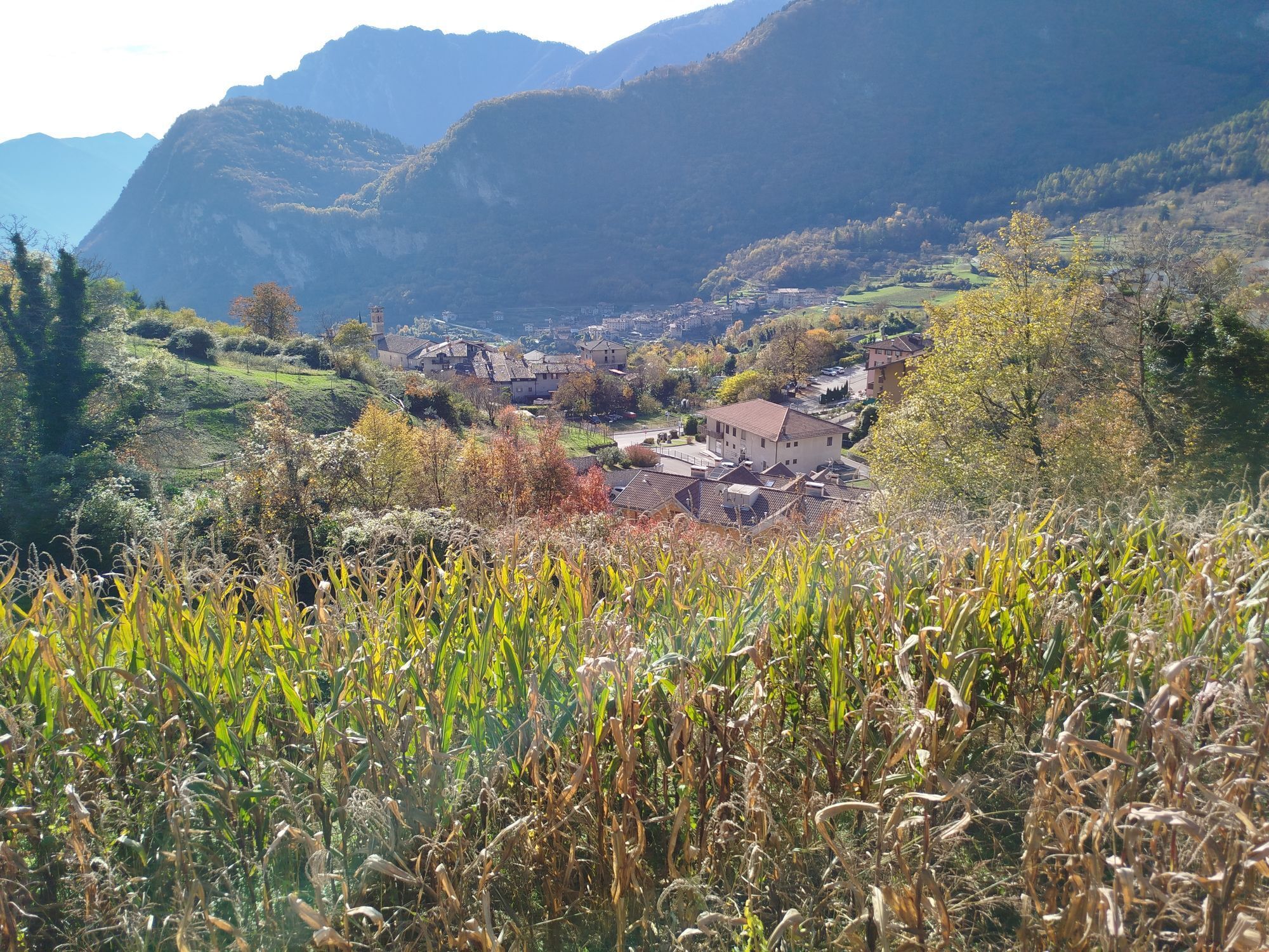
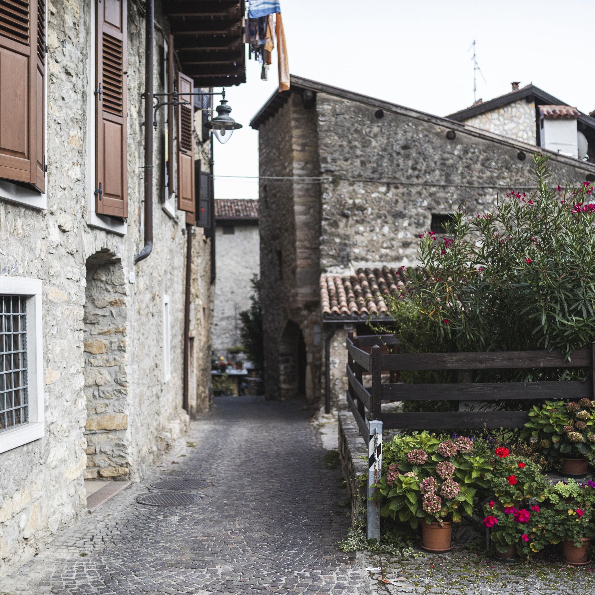
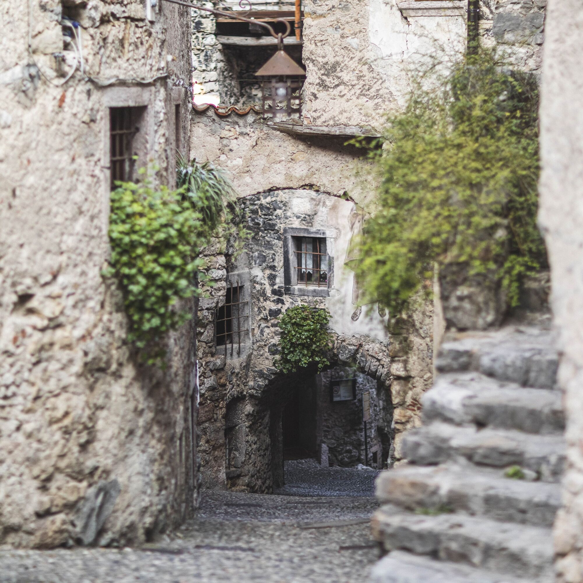
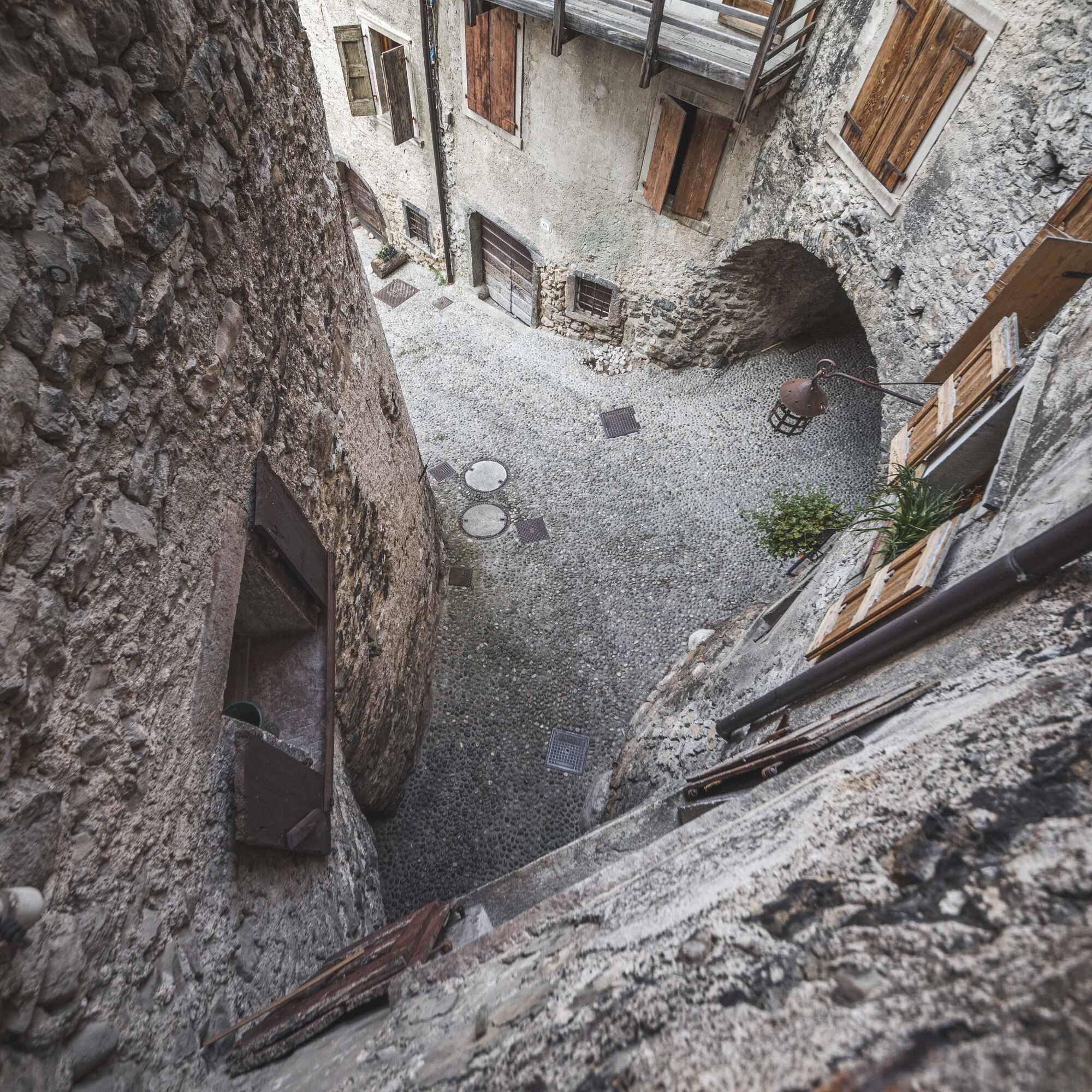
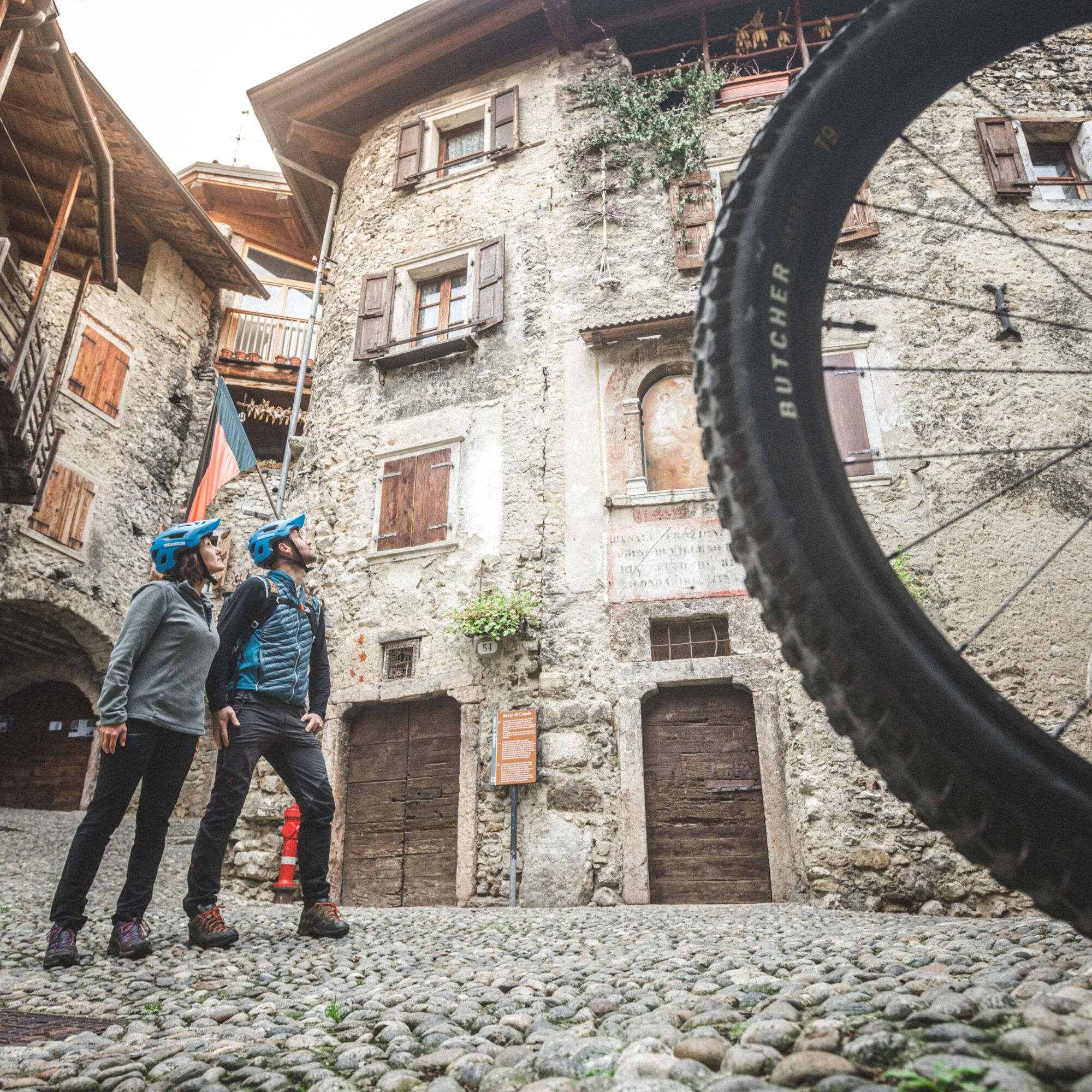
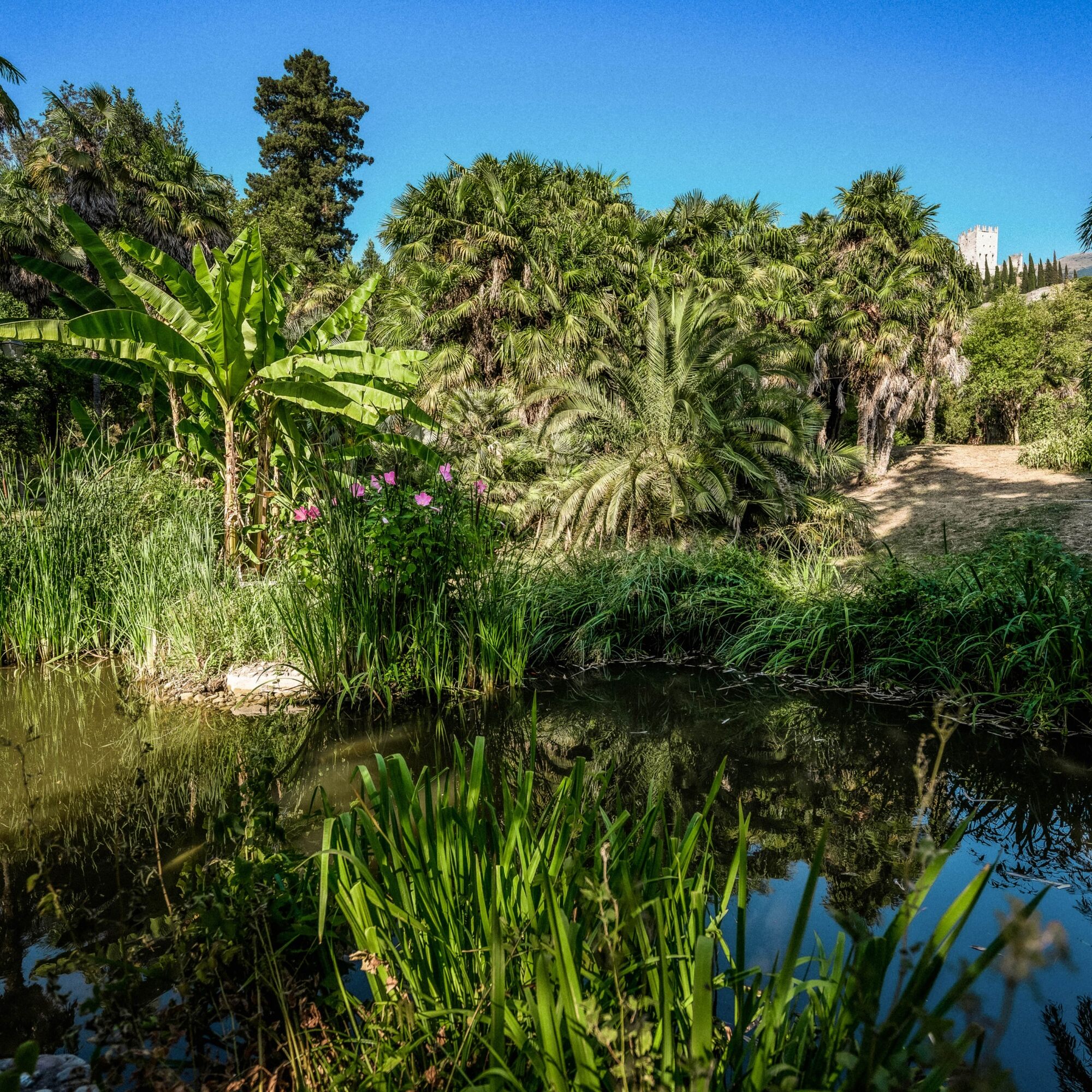
The route takes you close to the beautiful village of Canale di Tenno. If you have never been then it is definitely worthy of a visit.
Webové kamery z prohlídky
Získejte přehled
Vždy živě na místě s více než 9 500 webkamerami. bergfex Jako uživatel Pro si nyní můžete zobrazit odpovídající webové kamery pro mnoho prohlídek v aplikaci prohlídky z. Můžete si tak přímo prohlédnout aktuální podmínky.
Oblíbené prohlídky v okolí
-
5.0
Bastione and Santa Barbara, the lords of Riva del Garda
středníTuristika 2.94 km -
5.0
Via Ferrata Signora delle Acque - Rio Ruzza
heavyVia ferrata 5.32 km -
4.8
Sentiero Busatte Tempesta
světloTuristika 7.90 km -
4.8
Bocca Fortini - Tour
heavyMountainbike 35.4 km -
4.7
Via Ferrata Fausto Susatti - Cima Capi (from Ledro)
středníVia ferrata 7.11 km -
4.7
Via Ferrata Rio Sallagoni
středníVia ferrata 2.75 km -
4.6
Via Ferrata delle Laste e Gallerie di Cima Rocca
světloVia ferrata 6.38 km -
4.5
Walking around Lake Ledro
světloTuristika 9.40 km -
4.9
Via Ferrata dell’Amicizia - Cima SAT
středníVia ferrata 4.41 km -
4.8
Ponale Path (from Ledro)
středníTuristika 10.8 km
Pěší turistika a stopování


Nenechte si ujít nabídky a inspiraci pro vaši příští dovolenou
Vaše e-mailová adresa byl přidán do poštovního seznamu.





