


861 - Lago di Lases-Lago di Santa Colomba
Fotografie našich uživatelů
-

 © Paolo MoschenVytvořeno dne 06.04.2024
 -
 © Paolo MoschenVytvořeno dne 06.04.2024
 -
 © Paolo MoschenVytvořeno dne 02.07.2025
 -
 © Mirko StefaniVytvořeno dne 20.04.2025
 -
 © Mirko StefaniVytvořeno dne 20.04.2025
 -
 © Mirko StefaniVytvořeno dne 20.04.2025
 -
 © Mirko StefaniVytvořeno dne 20.04.2025
 -
 © Mirko StefaniVytvořeno dne 20.04.2025
 -
 © Mirko StefaniVytvořeno dne 20.04.2025
 -
 © Mirko StefaniVytvořeno dne 20.04.2025
 -
 © Mirko StefaniVytvořeno dne 20.04.2025
 -
 © Mirko StefaniVytvořeno dne 20.04.2025
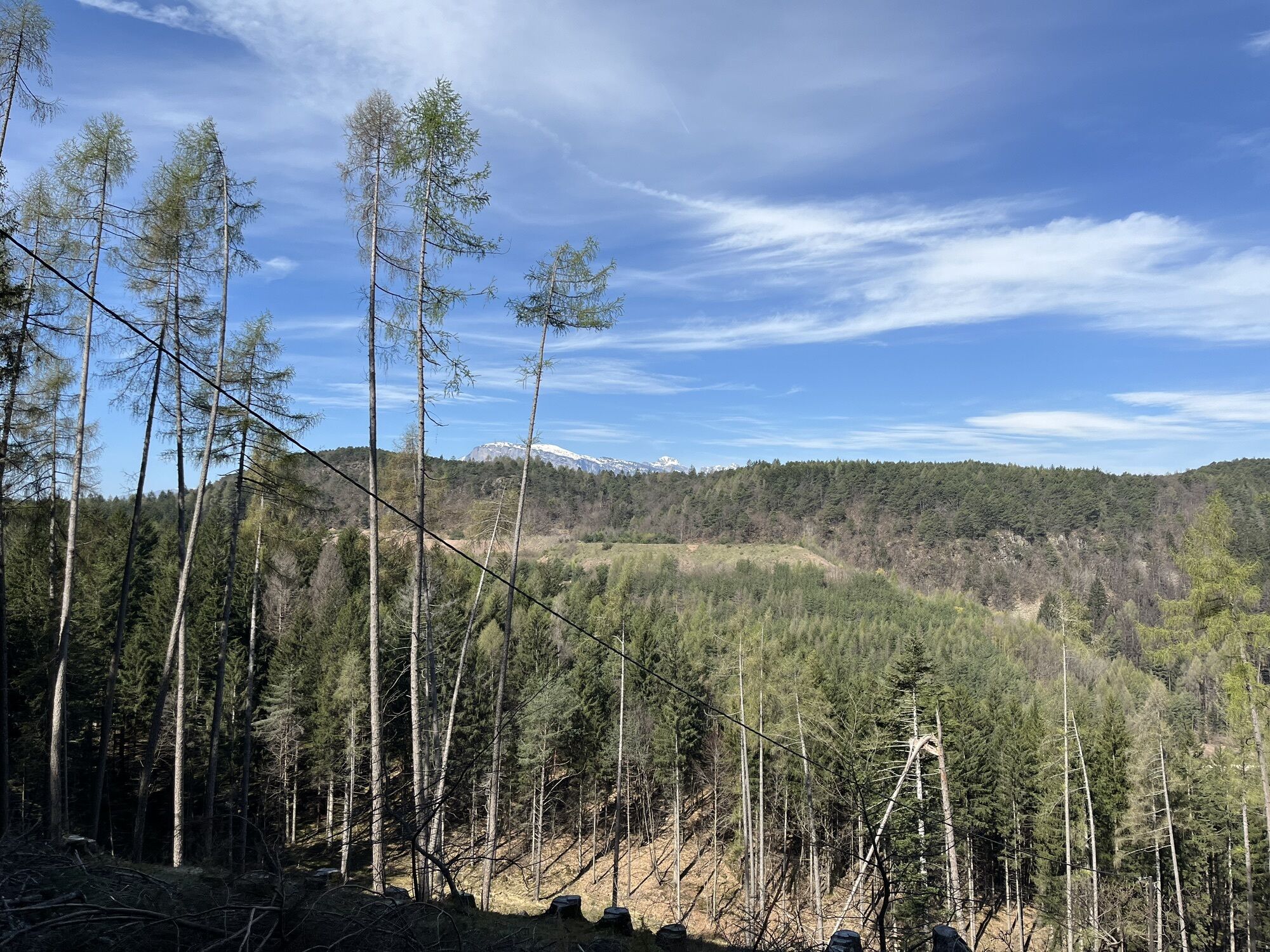


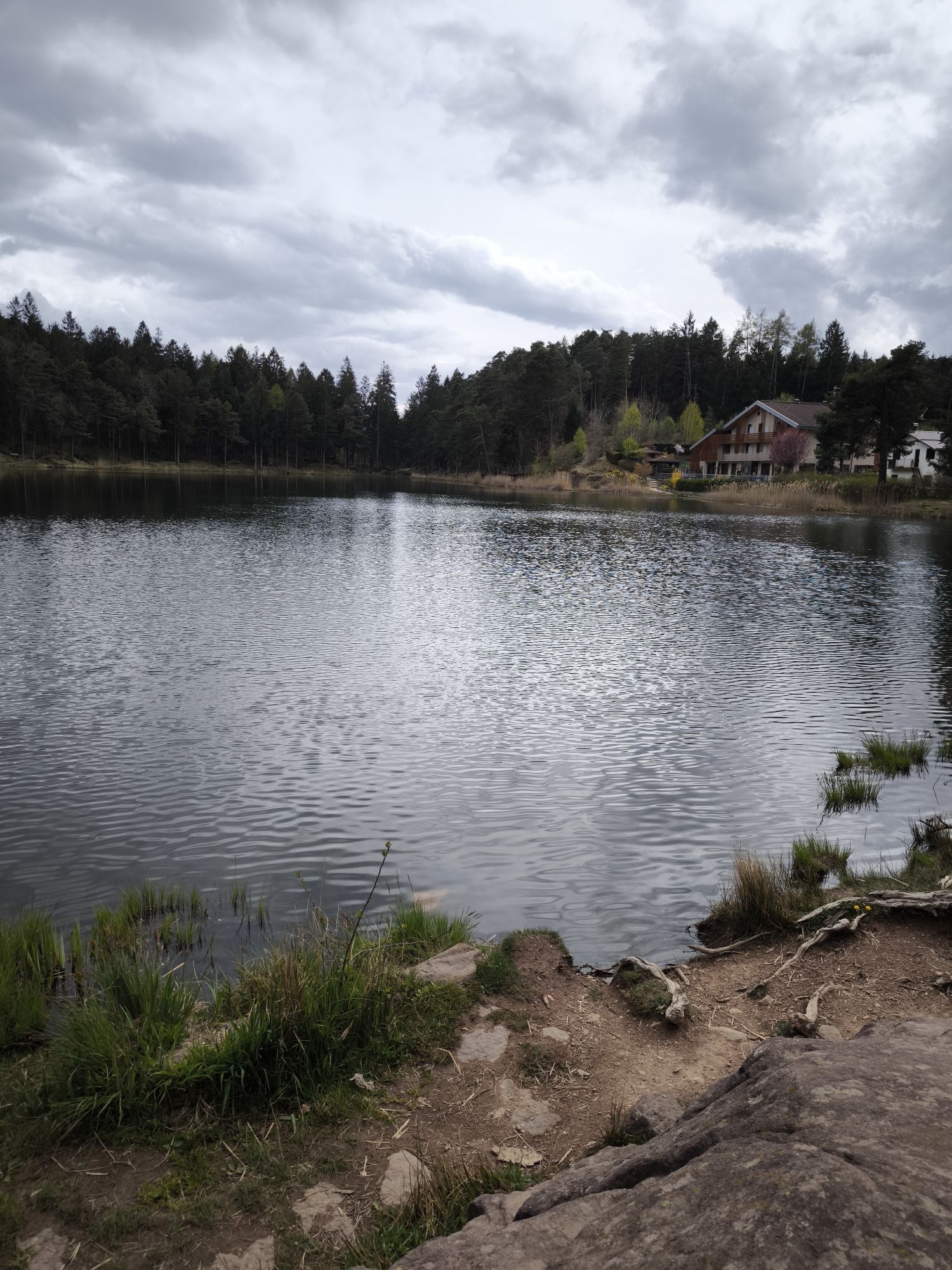


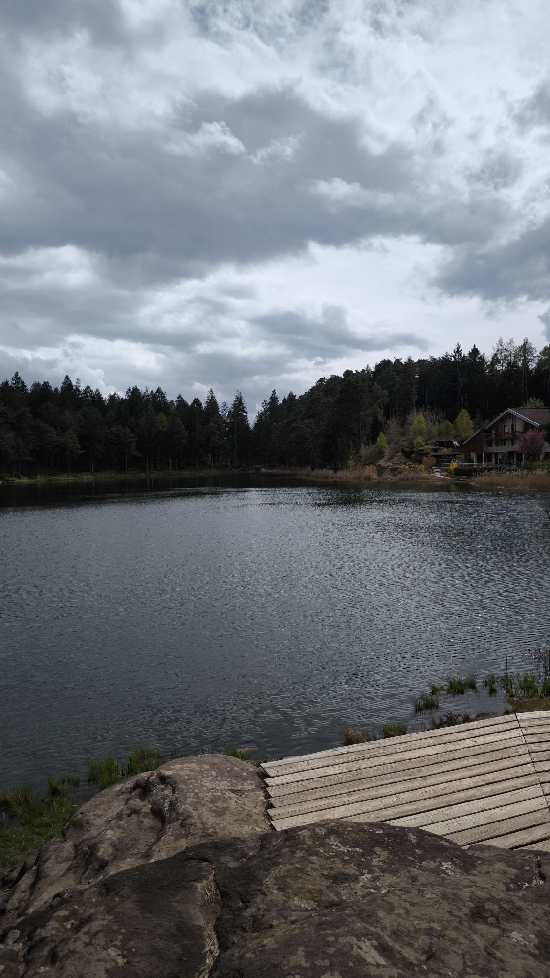

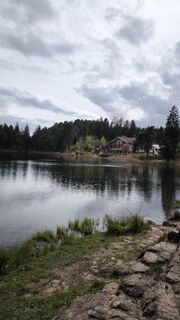
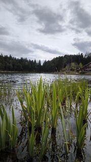
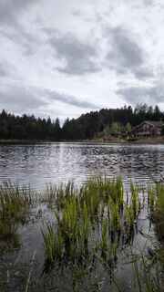
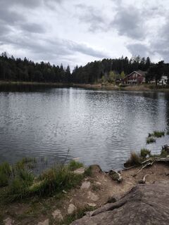
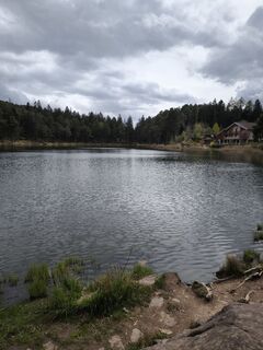
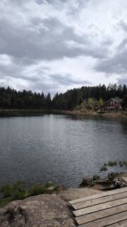
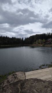
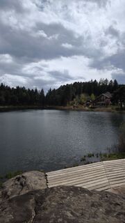
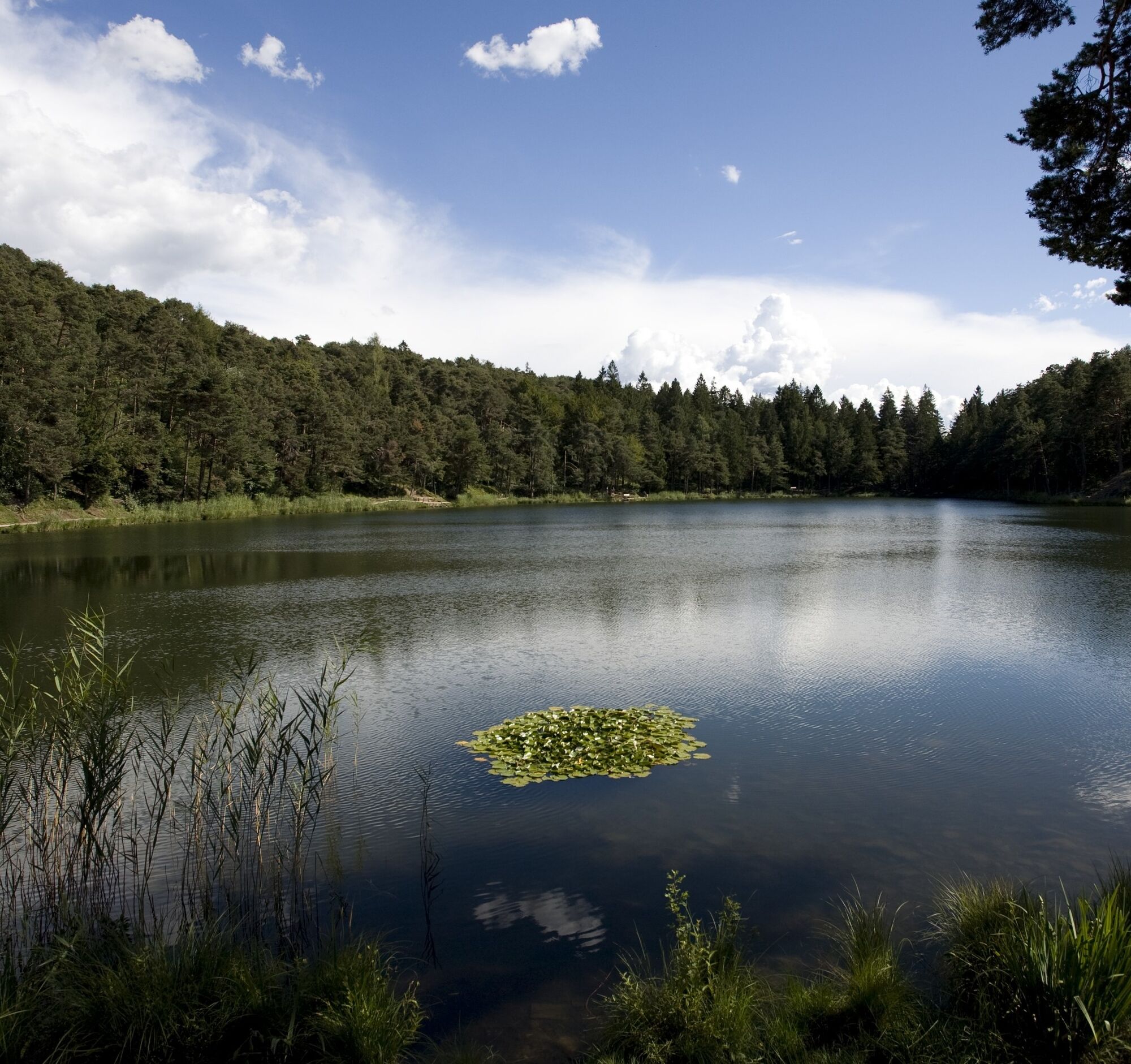
On the one hand, the route presents the naturalistic aspect with the lakes of Lases and Santa Colomba and the beautiful coniferous forests, and on the other hand, the main activity of the area is manifested:...
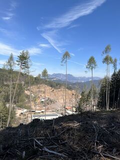
On the one hand, the route presents the naturalistic aspect with the lakes of Lases and Santa Colomba and the beautiful coniferous forests, and on the other hand, the main activity of the area is manifested: the mining and processing of red porphyry.
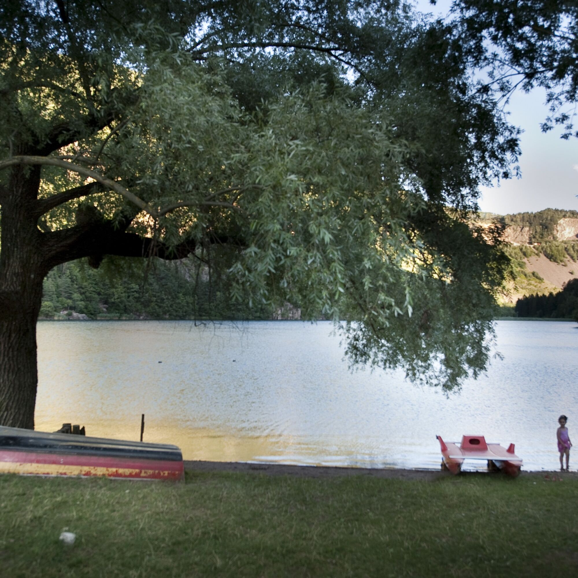
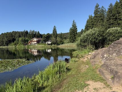
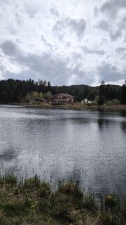
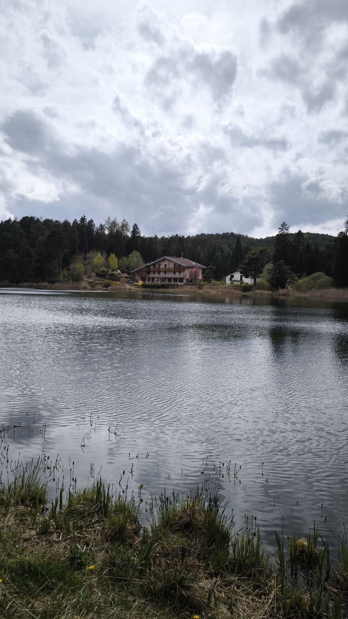
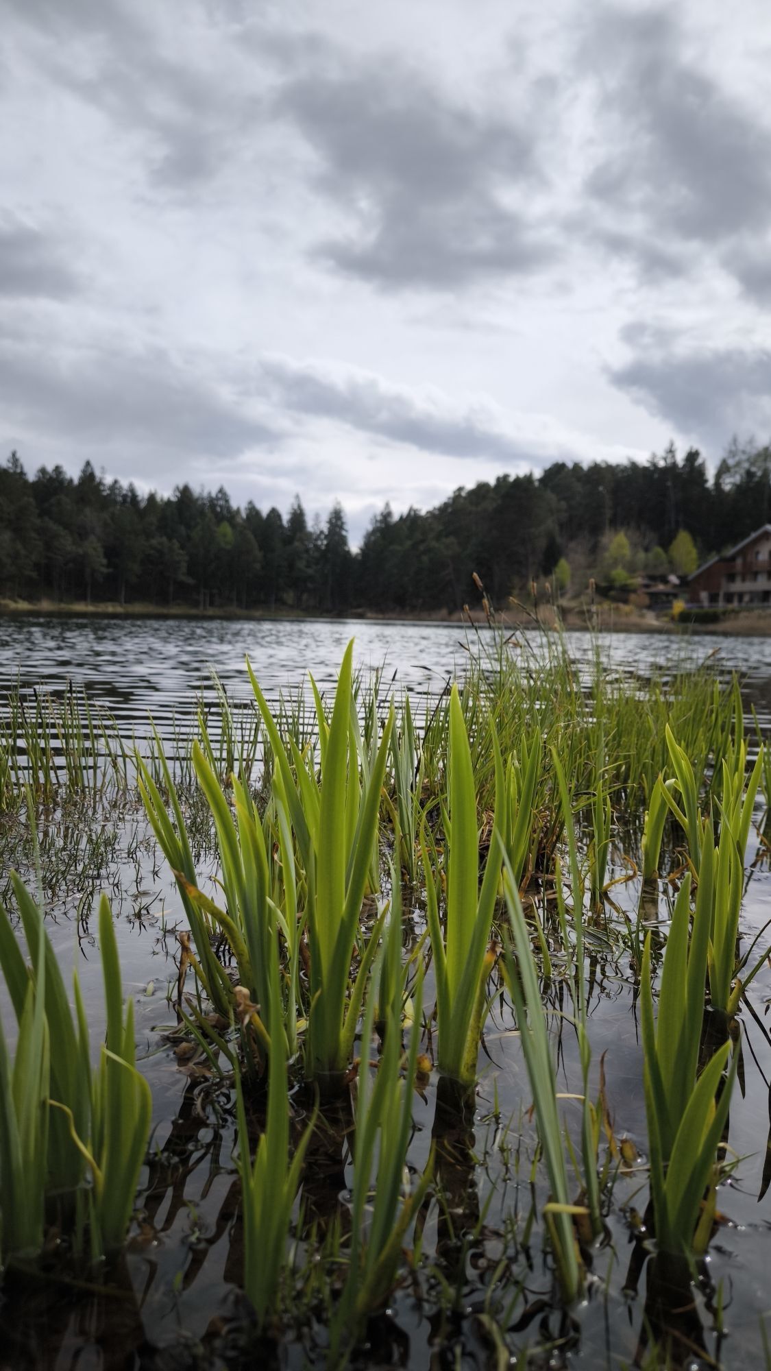
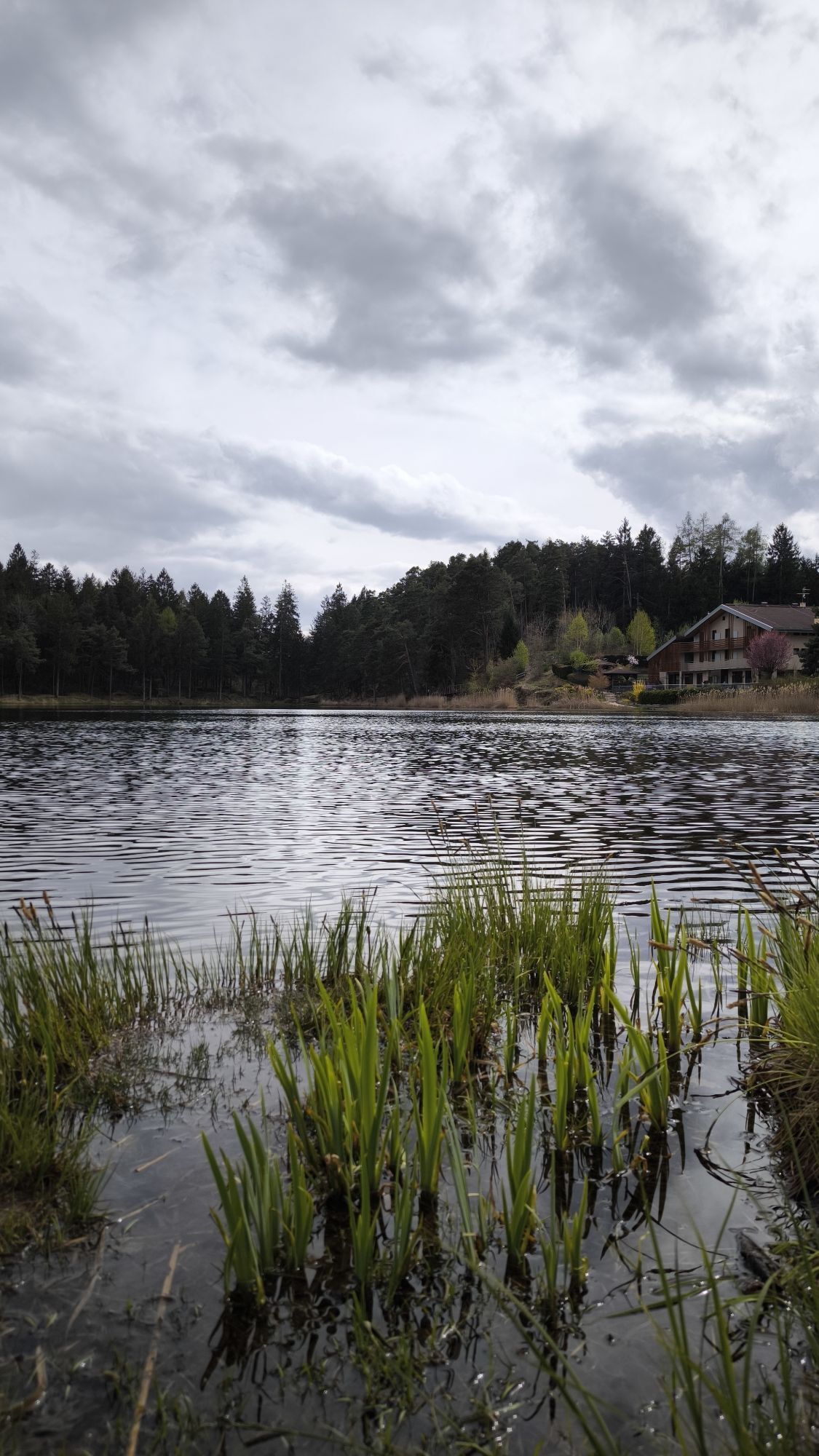
When you reach the village of Lases, take the first road to the right in the direction of the Buche di Ghiaccio biotope, which soon leads onto a forest road through the short Val Scura valley. At the Val Scura crossroads, we continue straight ahead on asphalt in a northerly direction, until we join the provincial road and continue towards the village of Albiano. When you reach Albiano, before the square you take a road to the left that leads to a short, steep path to Spiazzi, from where, crossing the Pian Fogolar porphyry quarrying area, you continue on an asphalt road, steep in places, in the direction of Lake Santa Colomba, in the heart of the Argentario Eco-museum in one of the medieval quarrying areas of galena argentifera. When you reach the lake (refreshment stop), follow the numerous signs and follow the dirt track along the northern shore of the lake and into the woods towards Doss dei Brusadi (trail 473) to then descend towards the locality of Pian del Gacc on a beautiful trail that offers a descent that is at times technical due to the presence of numerous stones and roots. After returning to the asphalt road and passing Pian del Gacc, descend in the direction of Fornace until, near a hairpin bend, you enter the quarries in the direction of Doss del Vent, where the descent begins towards Lake Lases below, where the route ends.
Ano
What do I need to bring on my bike tour?
Water Snacks Waterproof / Windproof jacket A spare top / spare socks Suncream Sunglasses Bike gloves/mitts Map or GPS device Bike repair kit First aid kitIt is always advised to let someone know where you plan to go and how long you expect to be.
Emergency telephone number 112
BIKER’S CODE OF RESPONSIBILITY
Plan your ride Share the trail with other users Yield right of way to hikers Let your speed be determined by your experience Ride slowly on crowded trails, overtake with politeness and respect Cycle only on authorized and open trails Avoid muddy trails in order not to damage them further Respect nature, plants, animals and the trail Do not frighten animals Take your rubbish home with you Respect public and private property Always be selfsufficient Do not cycle solo in remote areas Take back home only good picsALWAYS WEAR YOUR HELMET!
By car: From south or north, on the A22 Brennero motorway, leave the motorway at the Trento Nord exit (22.5 km from the toll gate), continue northwards on the Main Brennero Road SS12 until the turn-off for Lavis, then take the Lavis - Castello di Fiemme Main Road SS612 which will take you to the Cembra Valley.
Lake Lases and Lake Santa Colomba can be reached by Trentino Trasporti buses
www.trentinotrasporti.it
Free parking spaces are available near the shores of Lake Lases and at the shores of Lake Santa Colomba.
Ufficio Turistico Cembra - Tel. +39 0461 683110 - info@visitvaldicembra.it – www.visitvaldicembra.it
Also suitable for e-mtb.
Oblíbené prohlídky v okolí
-
4.7
Burrone Klettersteig (B)
Via ferrata 4.30 km -
3.8
Rio Secco (D)
Via ferrata 2.42 km -
4.5
Caldonazzo - Levico
středníJízda na kole 18.9 km -
4.5
Prati di Prada and the Lakes of Lamar
světloTuristika 8.05 km -
5.0
From Cembra to Lago Santo
světloTuristika 13.8 km -
4.3
Baselga di Piné - Marini - Ricaldo - Serraia
světloTuristika 9.34 km -
5.0
Klettersteig Val del Ri
středníVia ferrata 4 km -
4.5
Levico Terme - Paluda del Baruchèl - Visintainer - Pergine Valsugana
světloMountainbike 23.5 km -
Ijsmeertje. Lago Erdemolo. Palù del Fersina, Trentino-Alto Adige/Italia
středníTuristika 8.81 km -
5.0
Tour of the Lases Lake and its sorroundings
světloTuristika 4.71 km
Pěší turistika a stopování


Nenechte si ujít nabídky a inspiraci pro vaši příští dovolenou
Vaše e-mailová adresa byl přidán do poštovního seznamu.