







Tour of the Lases Lake and its sorroundings

Úroveň obtížnosti: T1
This itinerary is recommended for nature lovers and families: the numerous information panels along the route will provide opportunities to learn about and explore the special local natural ecosystem,...
This itinerary is recommended for nature lovers and families: the numerous information panels along the route will provide opportunities to learn about and explore the special local natural ecosystem, including biotopes, hummocks, dry stone walls, ice holes and much more.

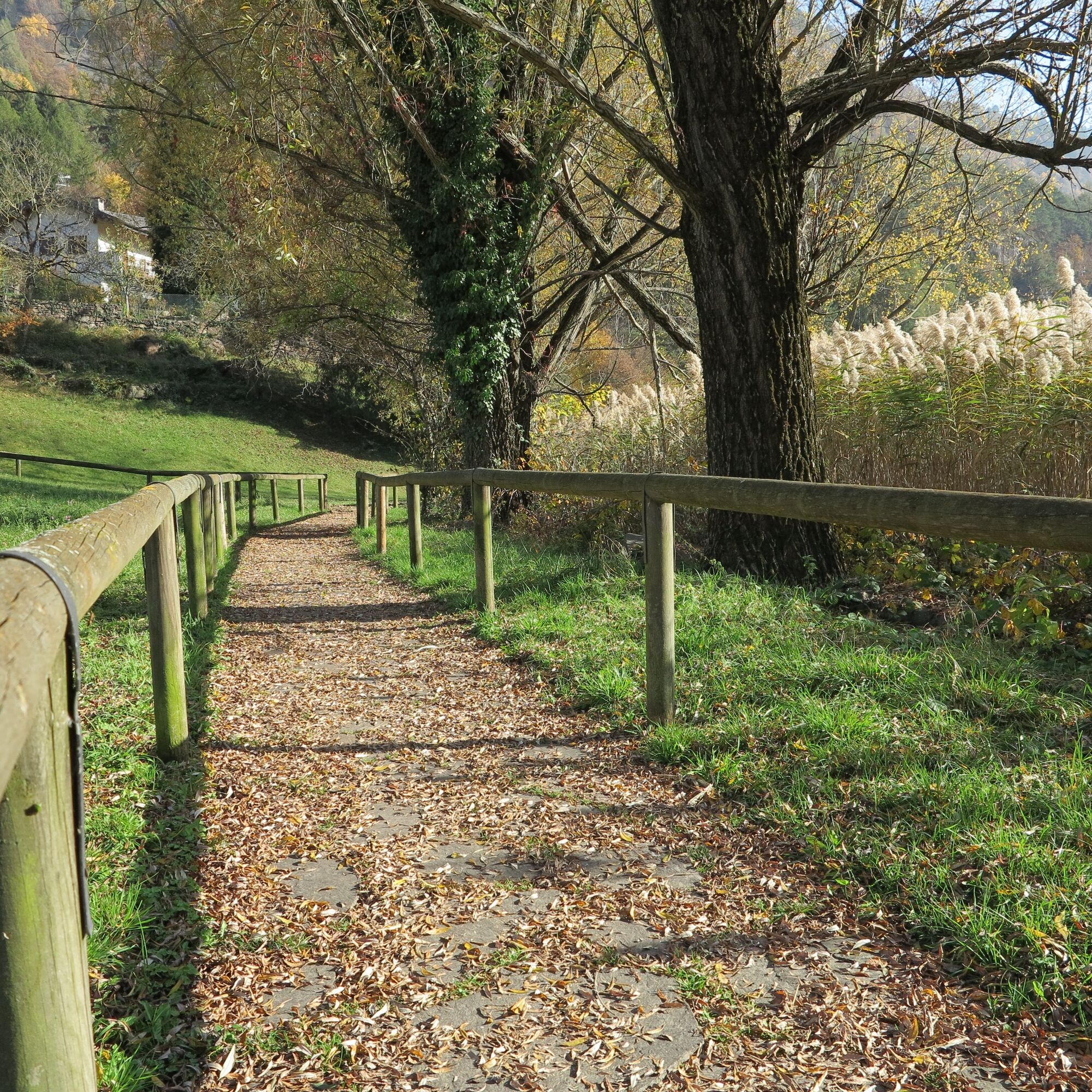
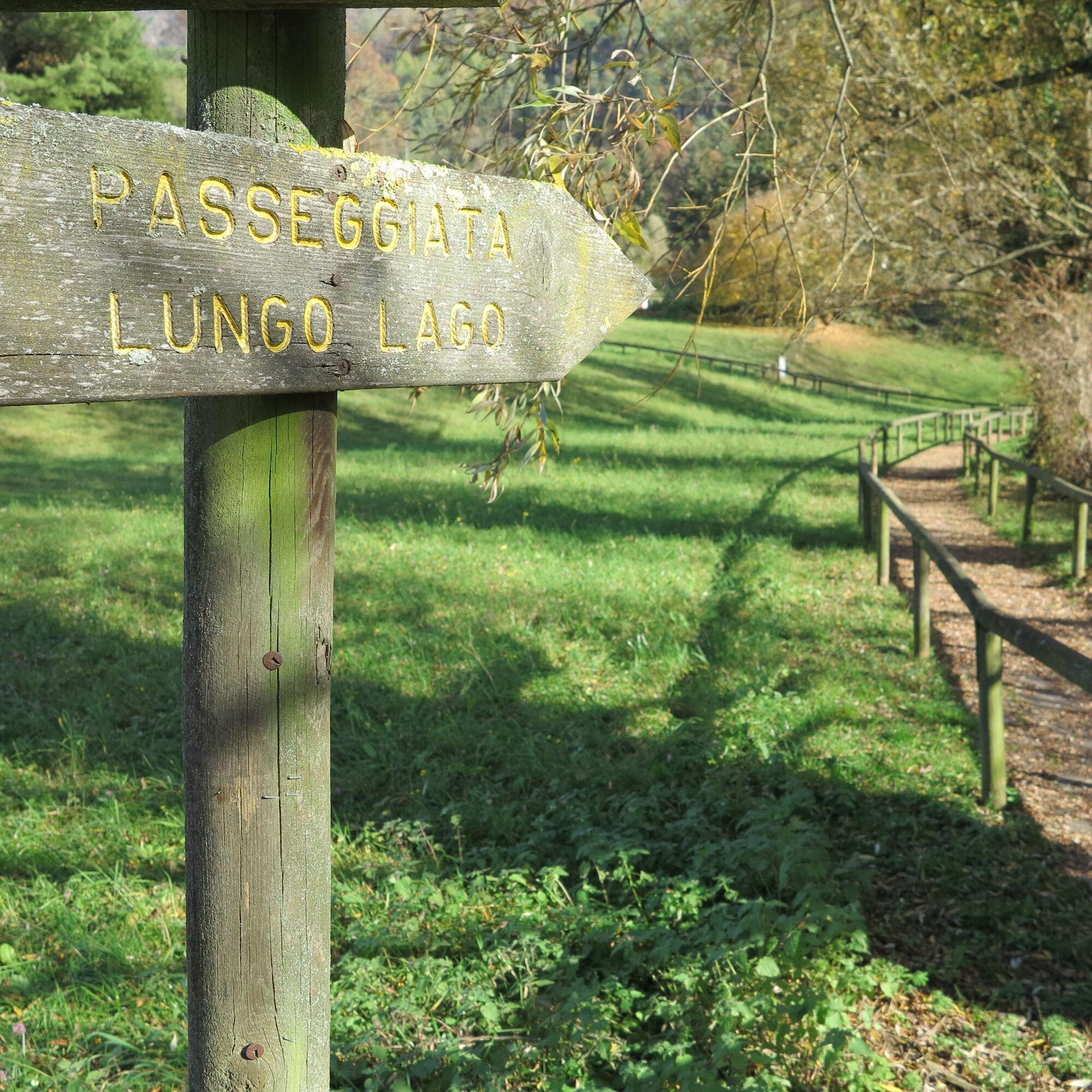
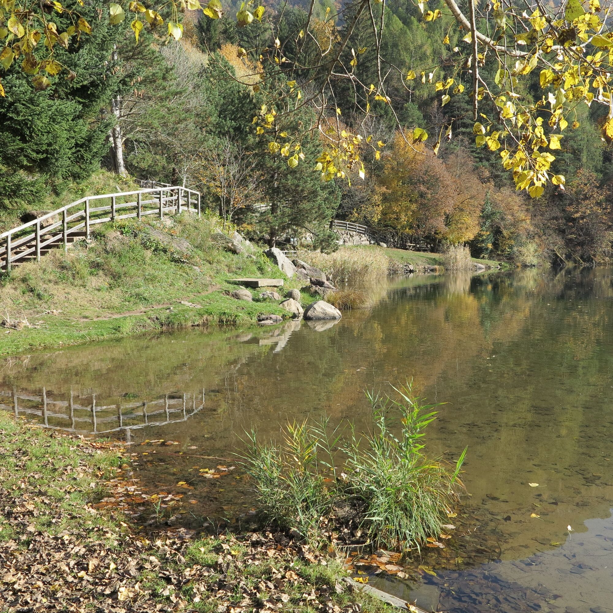
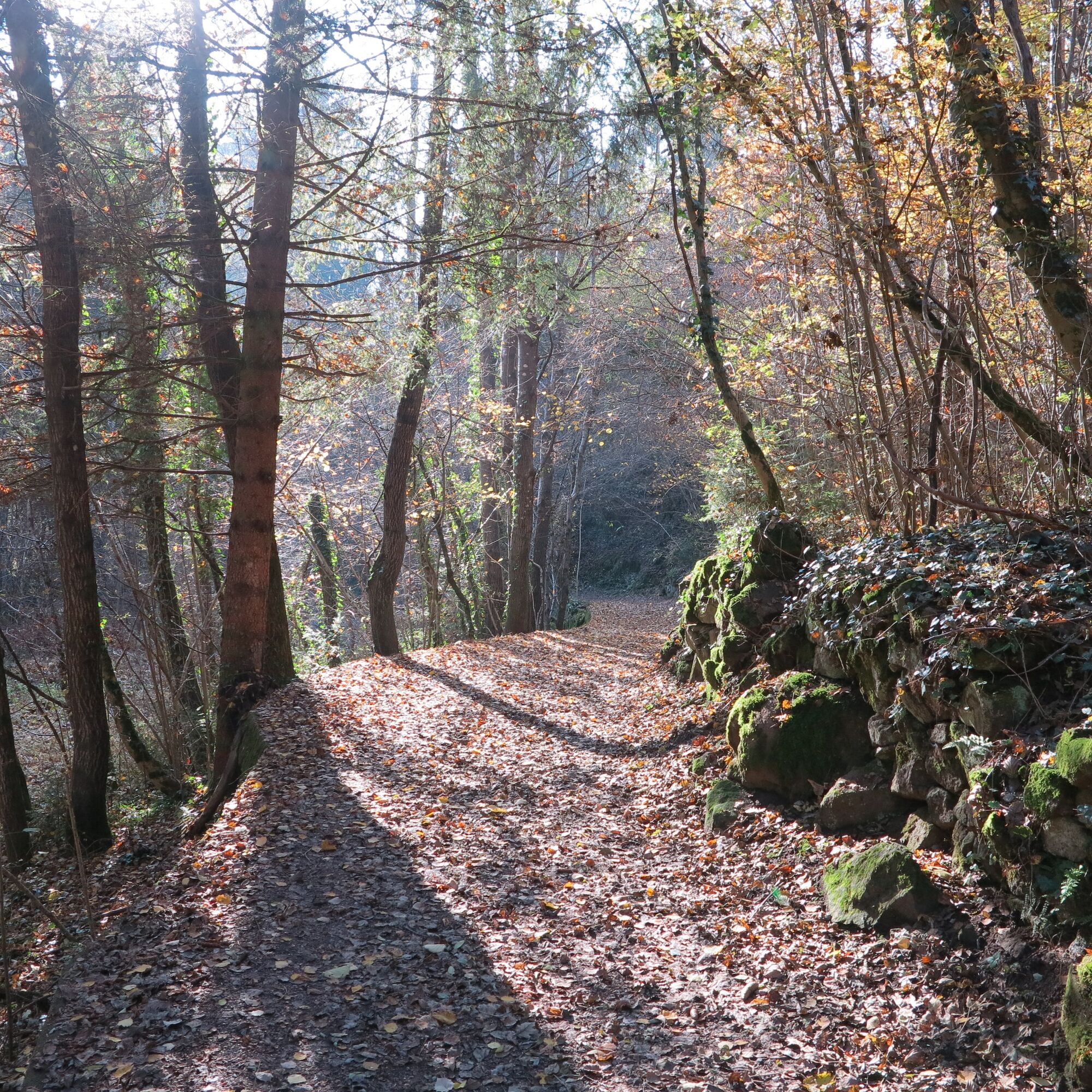
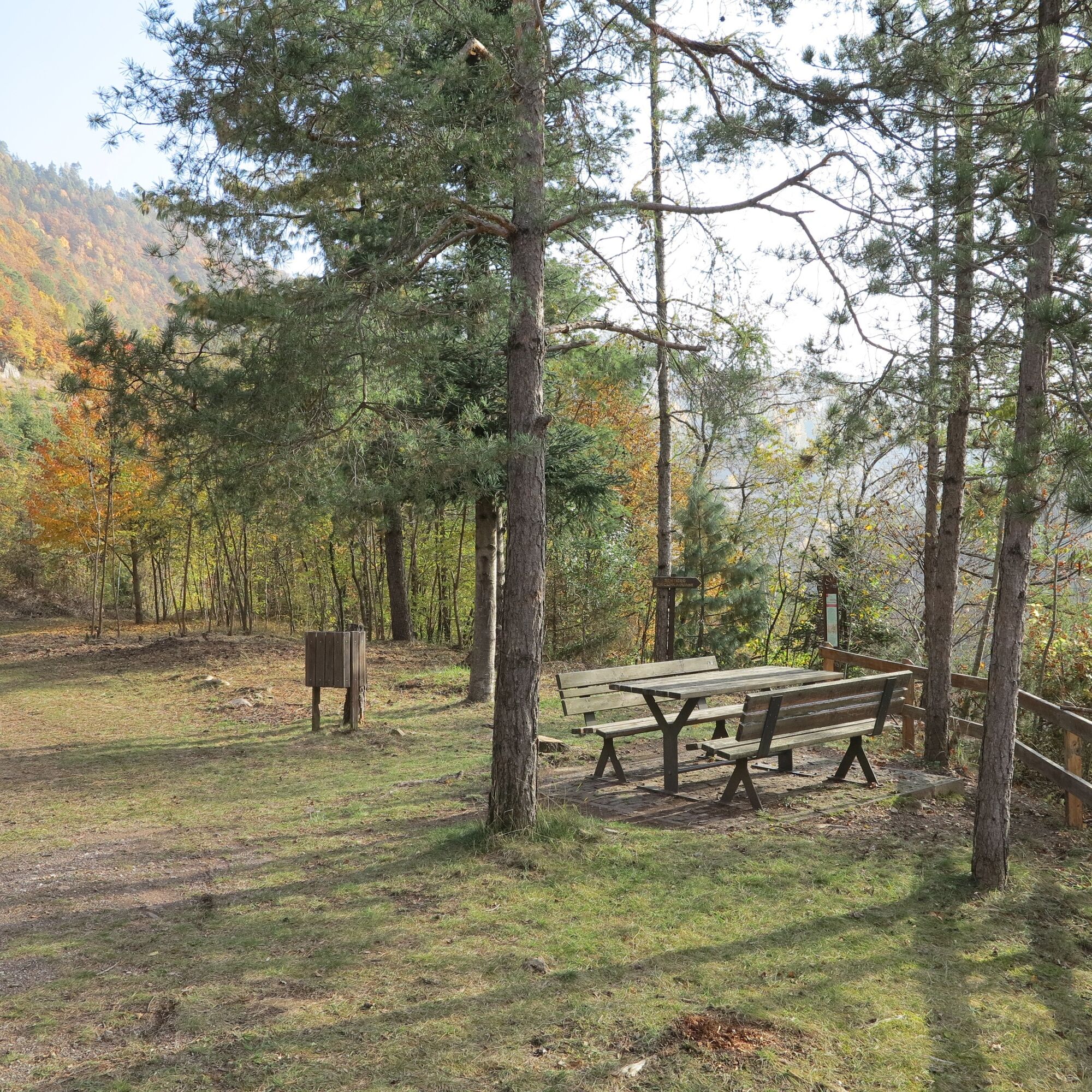

Near the provincial road, an information board welcomes us to the Lona-Lases provincial nature reserve. Having descended to the beach, we start our tour clockwise, then head eastwards, guided by a nice walk. Now we ascend towards the village (yellow arrows) arriving at a crossroads with a fountain, we continue in a north-easterly direction following the signs for 'palù redont'. On reaching the second fork (with the presence of a sheet metal tool shed) we continue straight on (and not to the right for Val fredda) and at the next fork we take the left.
Having arrived at "Palù Redont", an interesting amphitheatre-shaped biotope with a diameter of 130-150 metres, we take an uphill path signposted for "Doss Costei" (always follow the yellow arrows drawn on wooden logs) and, before coming out onto the provincial road, we turn right, arriving at a field planted with small fruits. We continue for a while and when we come to a forest road, we turn left and then take another on the right. Follow the latter, ignoring the two roads that we will encounter on the way up and which continue to the right; the road makes hairpin bends and reaches a large information board dedicated to the Lona-Lases biotope. From there we follow the signs for 'Val fredda', taking a forest road. Walking through the 'Val fredda', it is easy to understand the origin of the name given to it and the fascination that this location arouses on hot summer afternoons.
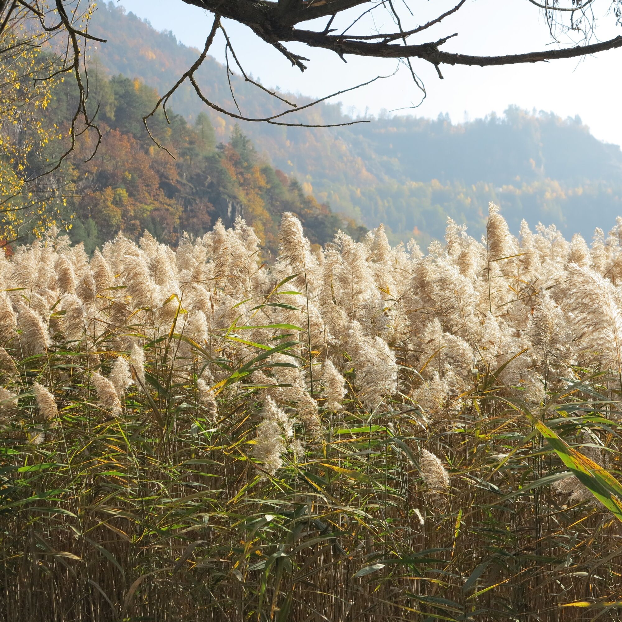
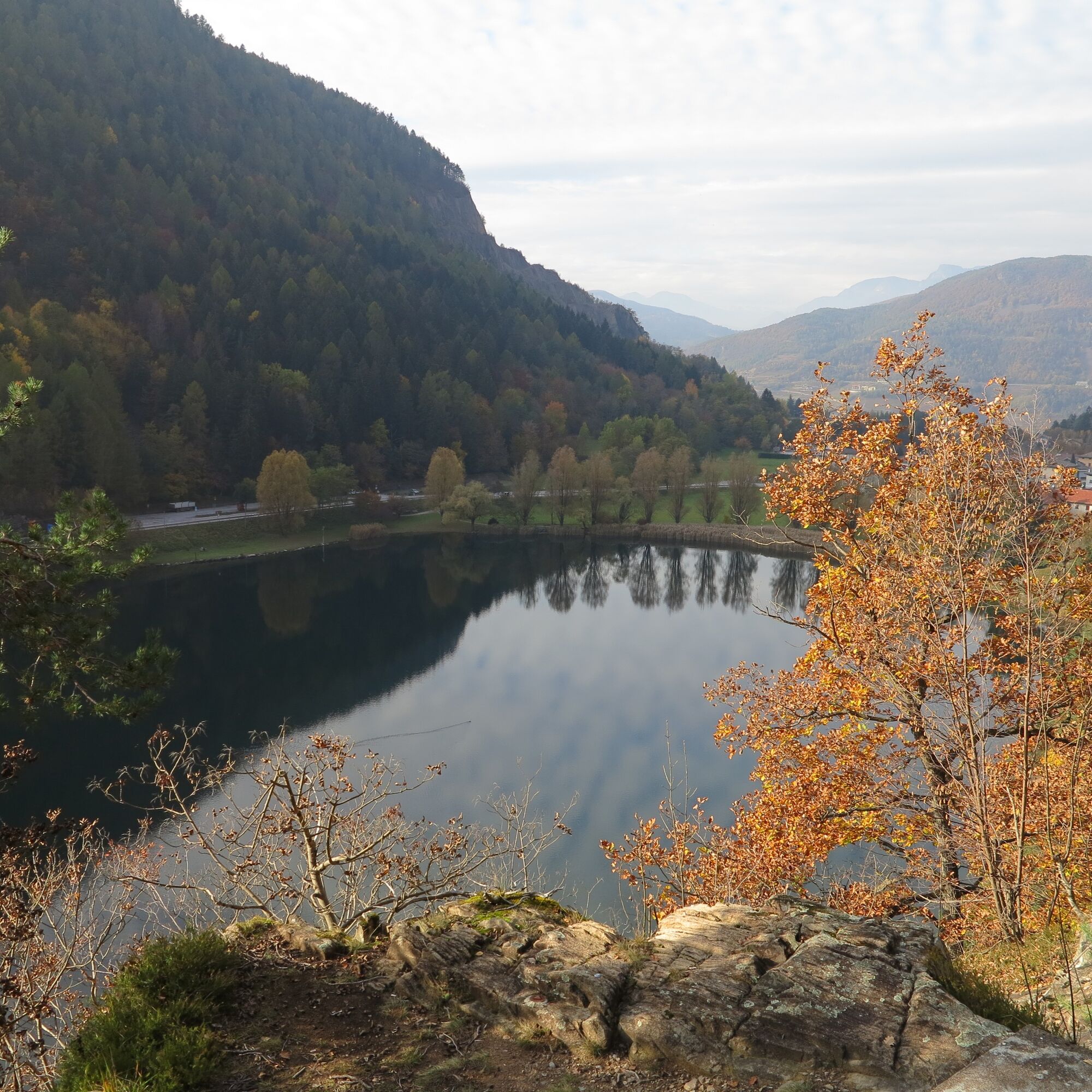
After passing a porphyry quarry, we follow the signs for the 'circumlacual path' and continue enjoying the view of the lake. This is the most scenic section of the proposed tour, but also the most technical: in fact, the descent is along a path with sometimes steep steps. Be careful! The tour continues past a little pink house and on through the reeds on the footbridge that cuts through the biotope south of the lake in the company of some typical lake birds. For short stretches, in the final part, the path breaks off and runs alongside the provincial road. After arriving at the well-maintained beach, it is a short walk back to the car park.
Ano
Ano
Hiking shoes, rain-jacket, water, sun cream.
Path suitable for families with children but not with strollers. The final stretch of the path has some steep steps going down to the lake.
THE 10 RULES FOR HIKERS
Prepare your itinerary beforehand Choose an itinerary that suits your physical abilities Choose suitable clothes and equipment Check the weather forecast Hiking by yourself is more risky; if this is the case, take a mobile phone with you Leave information about your itinerary and your expected return time If you are not sure about your itinerary, contact an Alpine Guide Pay attention to signposts and directions that you find along your way Do not hesitate in going back if you feel too tired In case of emergency call 112From the A22 Brenner motorway (from the south exit Trento sud and from the north exit Trento Nord) and from the Brenner S.S. 12, go on the S.S. 47 of Valsugana, direction Padova, untill the junction with Altopiano di Piné. Take the S.P. 71 and follow directions for Lona-Lases. Before the village of Lases you will see the homonymous lake and the car park on the left
From the Trento bus station, take line B103 towards Cavalese and get off at Lona-Lases
Car park on the left before the village of Lases, near the lake
T1
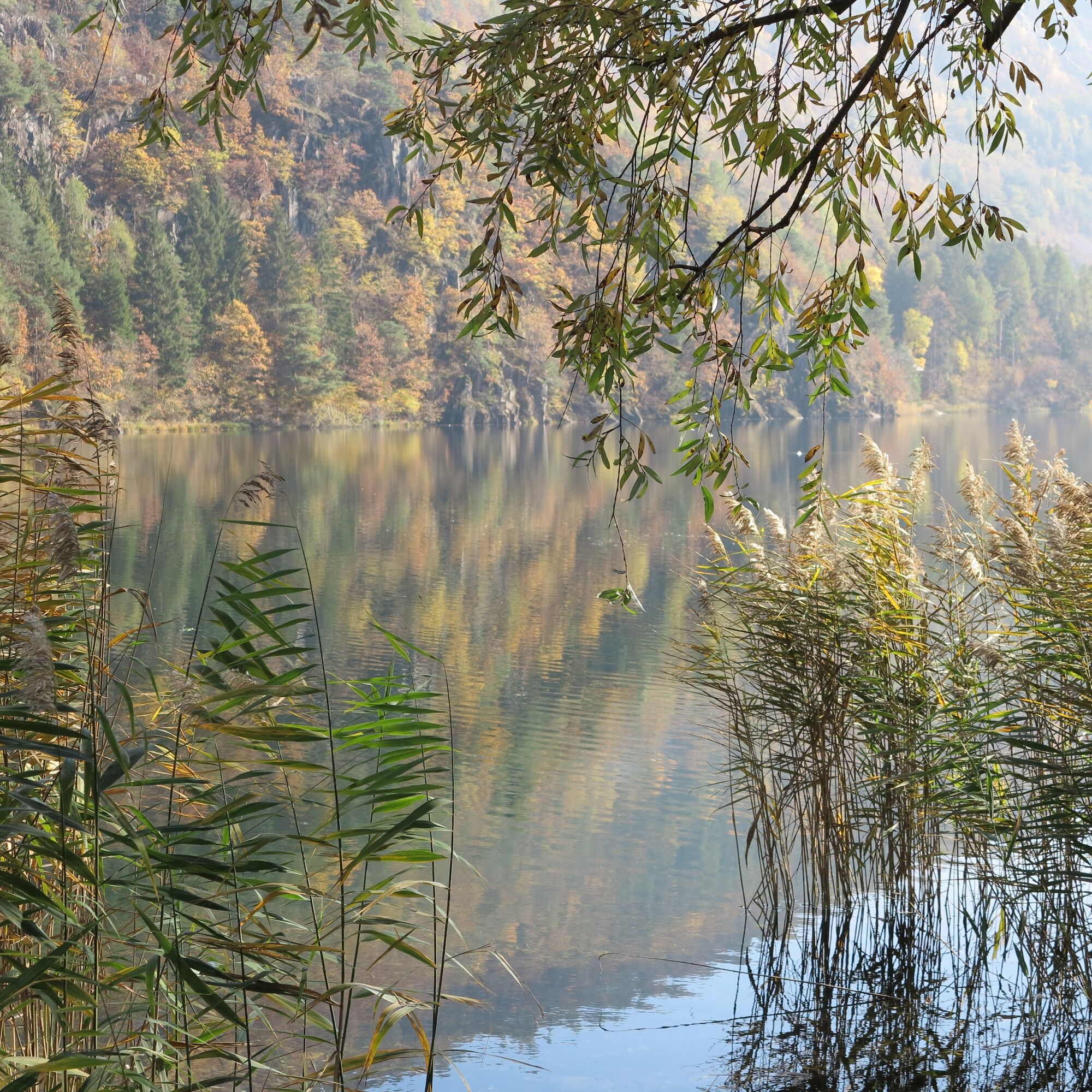
Along the proposed route it is possible to observe the Lases Lake in its entirety, appreciating the rich flora and fauna, the “palù redont” biotope, and the "Val Fredda" (which means cold valley) with the characteristic phenomenon of ice holes.


Oblíbené prohlídky v okolí
-
4.6
Burrone Klettersteig (B)
Via ferrata 4.30 km -
3.6
Rio Secco (D)
Via ferrata 2.42 km -
4.3
Caldonazzo - Levico
středníJízda na kole 18.9 km -
4.8
Klettersteig Val del Ri
středníVia ferrata 4 km -
4.3
Levico Terme - Paluda del Baruchèl - Visintainer - Pergine Valsugana
světloMountainbike 23.5 km -
4.0
Prati di Prada and the Lakes of Lamar
světloTuristika 8.05 km -
4.5
Ijsmeertje. Lago Erdemolo. Palù del Fersina, Trentino-Alto Adige/Italia
středníTuristika 8.81 km -
4.3
Baselga di Piné - Marini - Ricaldo - Serraia
světloTuristika 9.34 km -
5.0
Erdemolo en Sette Selle
středníTuristika 11.9 km -
4.5
Giro lago di Levico
světloTuristika 8.24 km
Pěší turistika a stopování


Nenechte si ujít nabídky a inspiraci pro vaši příští dovolenou
Vaše e-mailová adresa byl přidán do poštovního seznamu.





