







Via Ferrata Fausto Susatti - Cima Capi (from Riva del Garda)

Úroveň obtížnosti: B
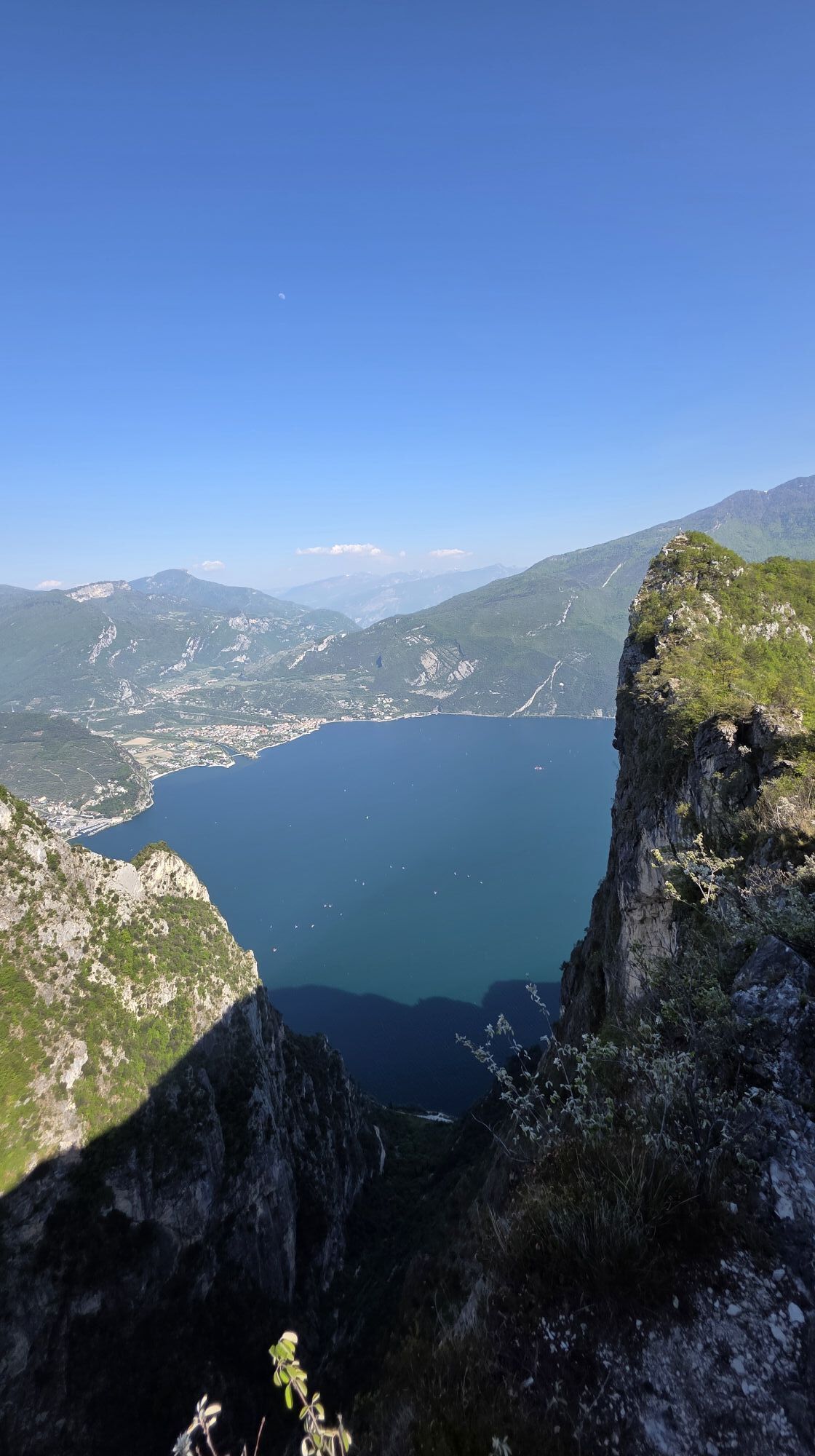
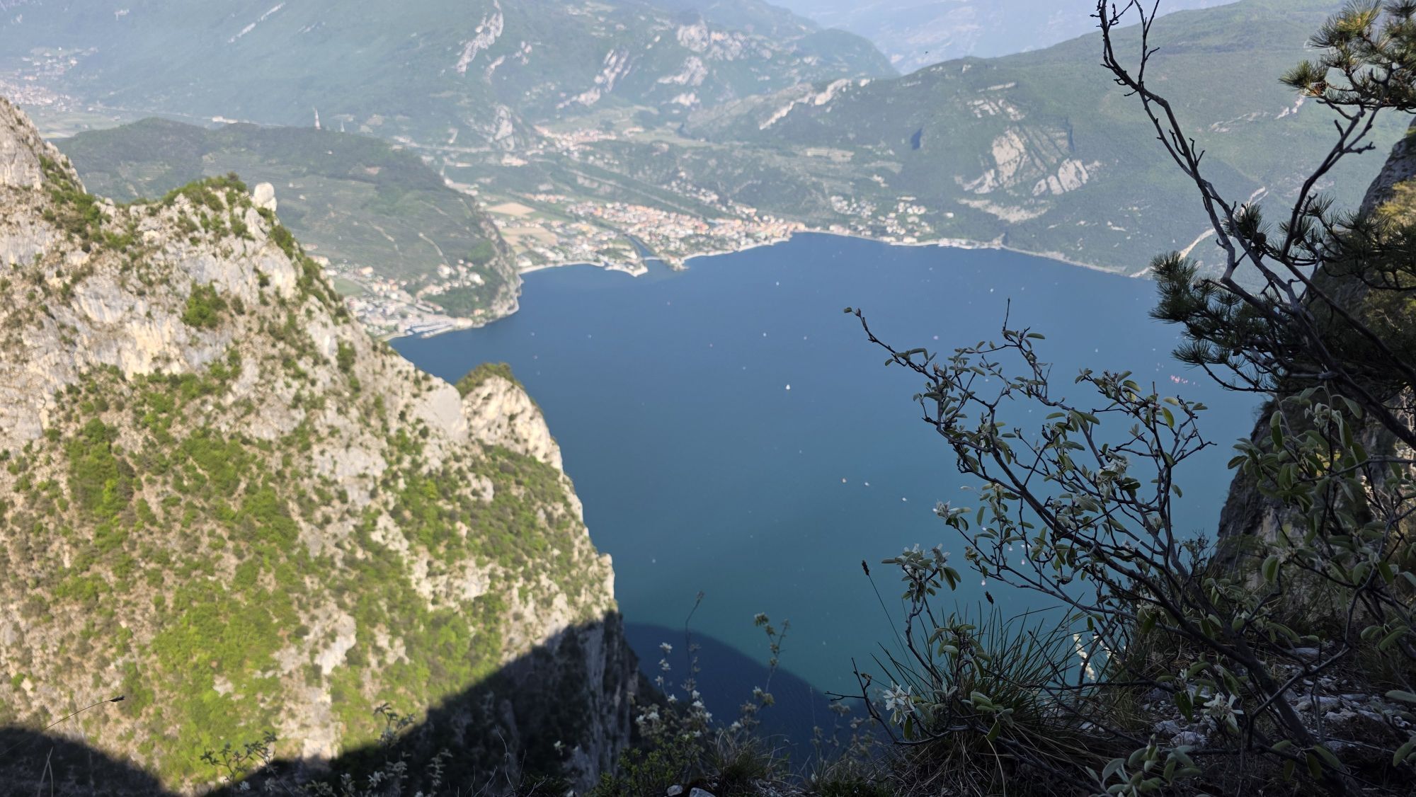
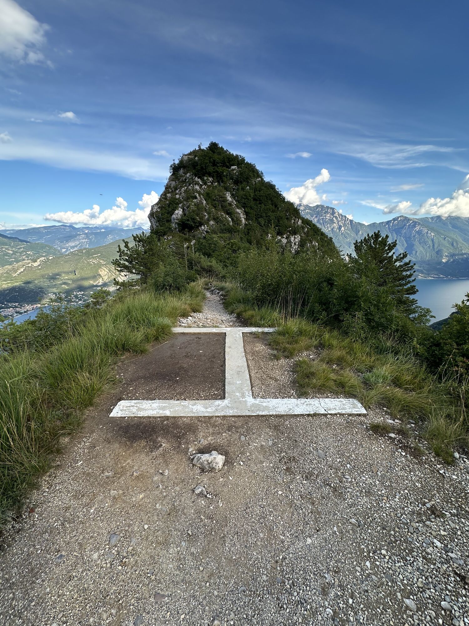
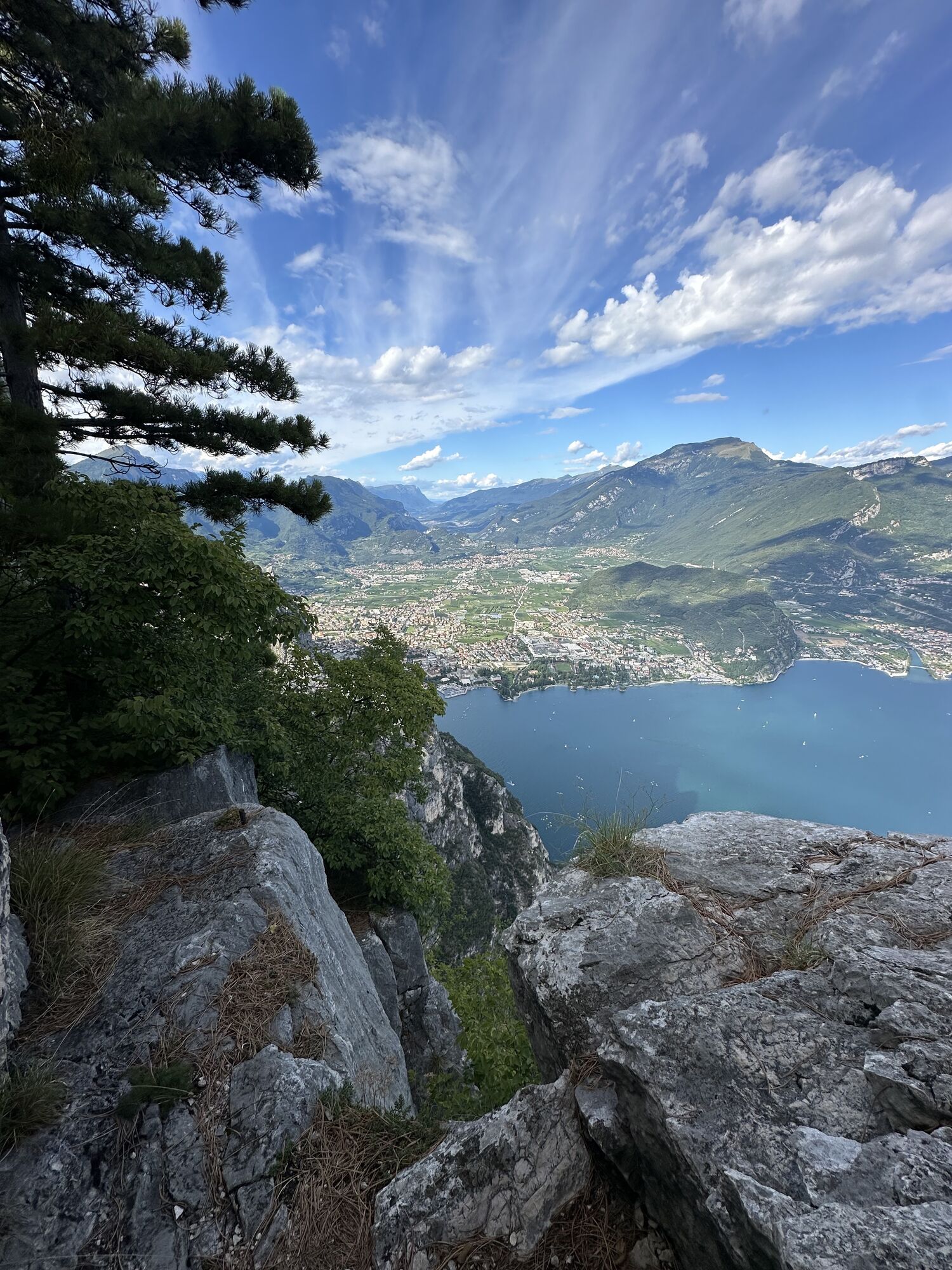
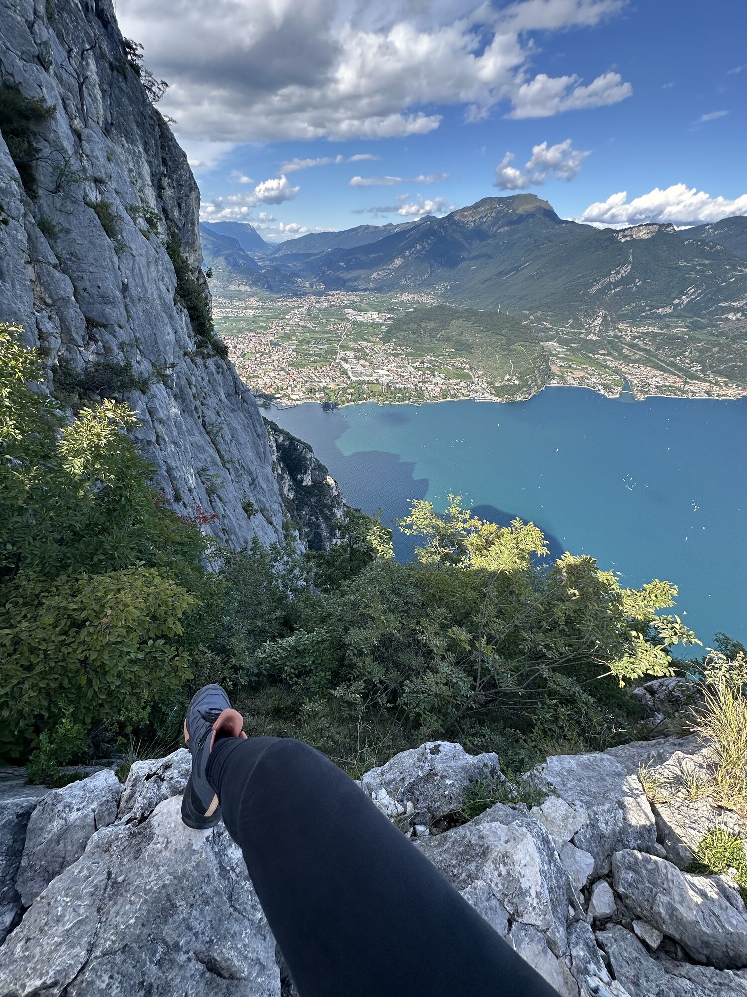
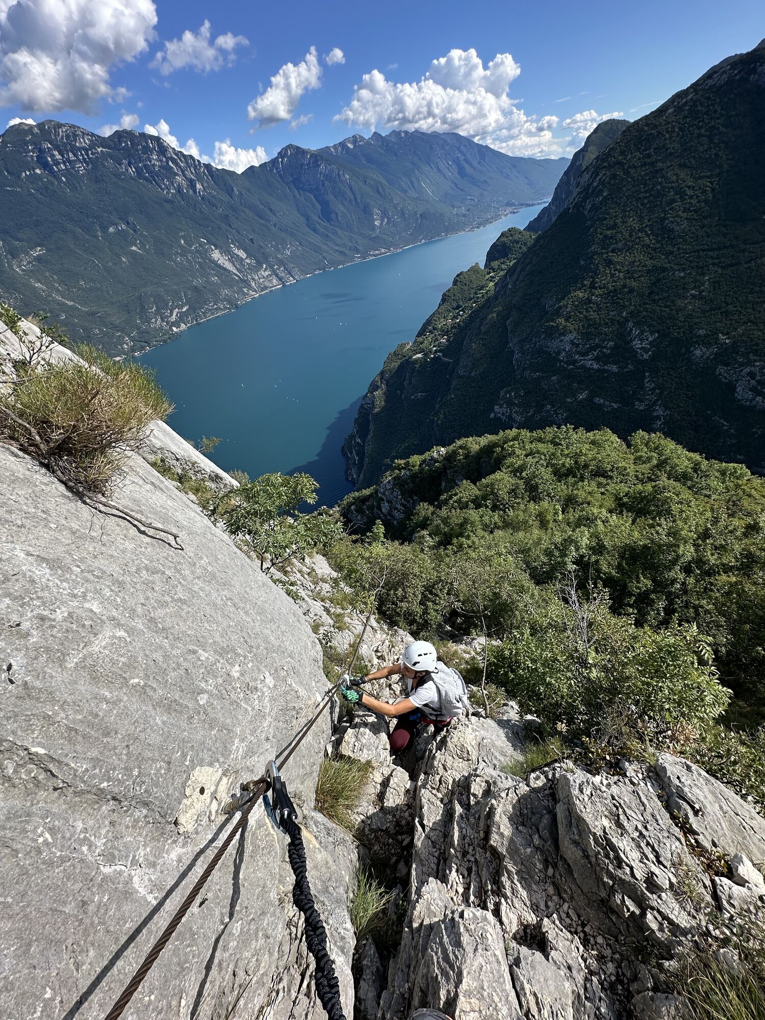
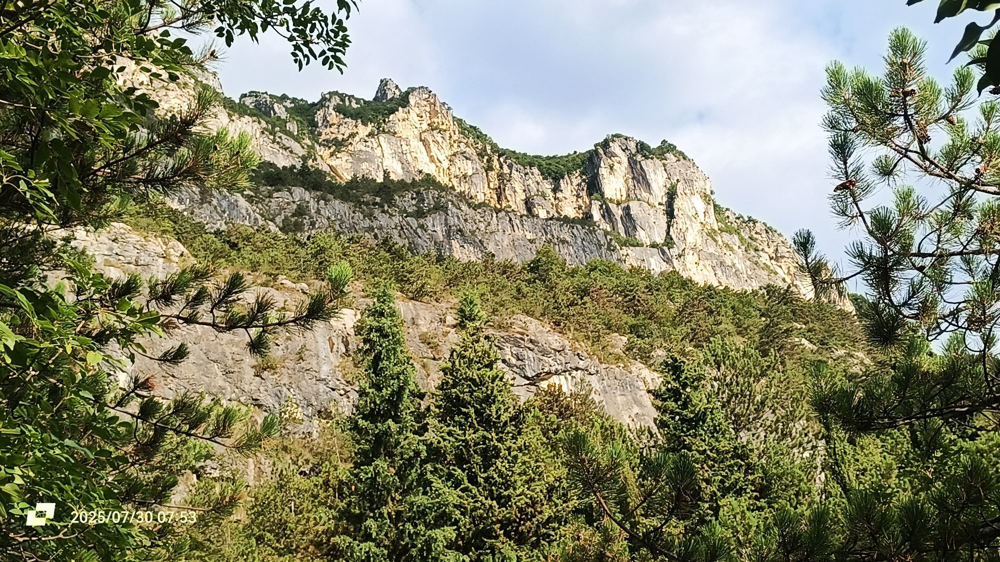
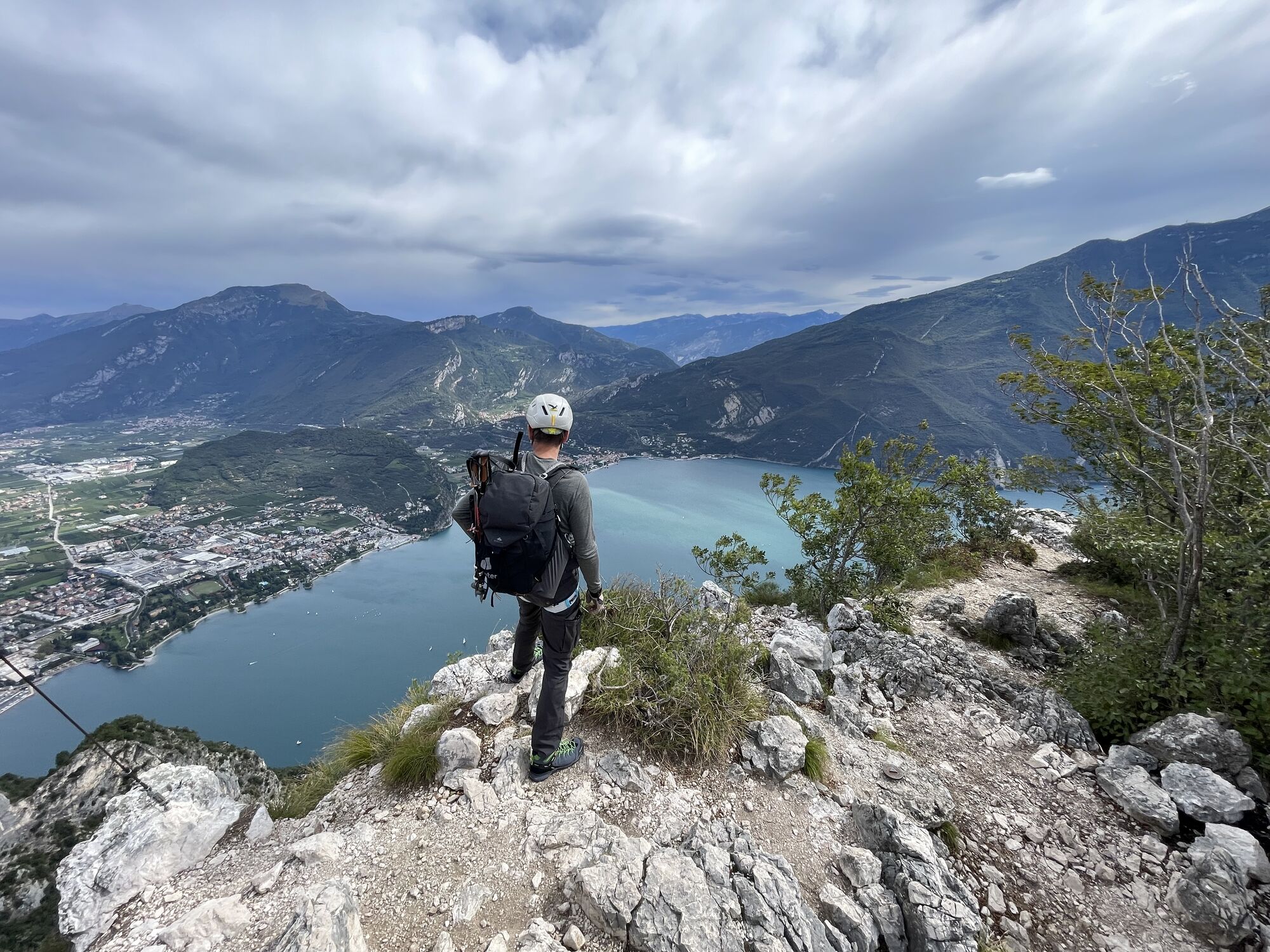
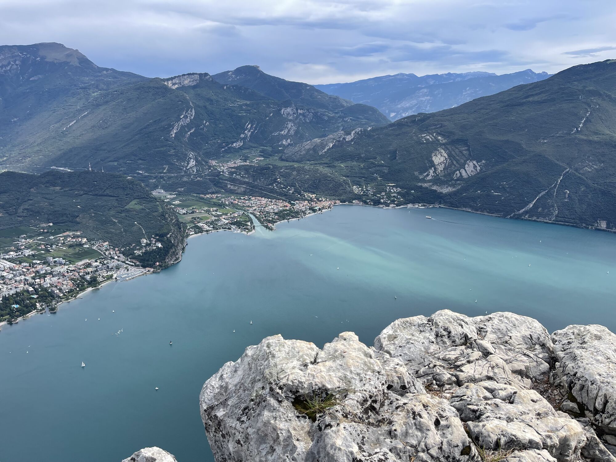
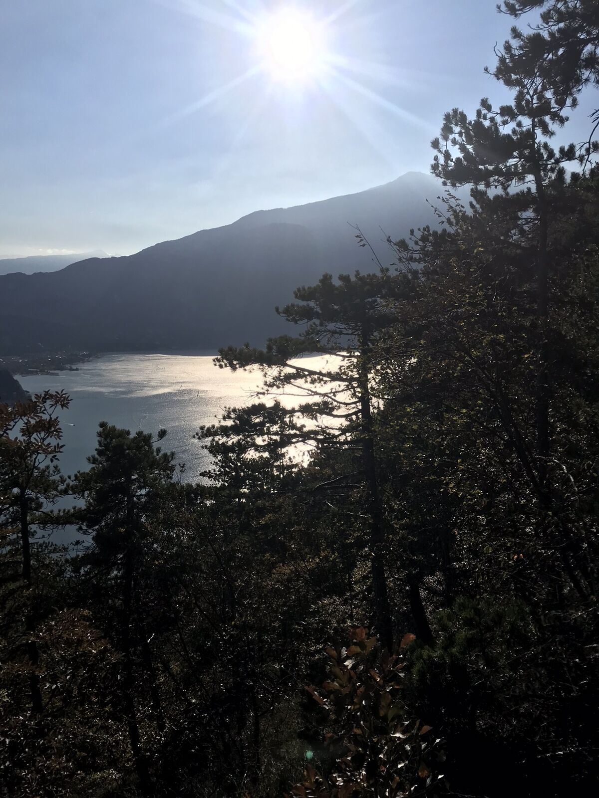
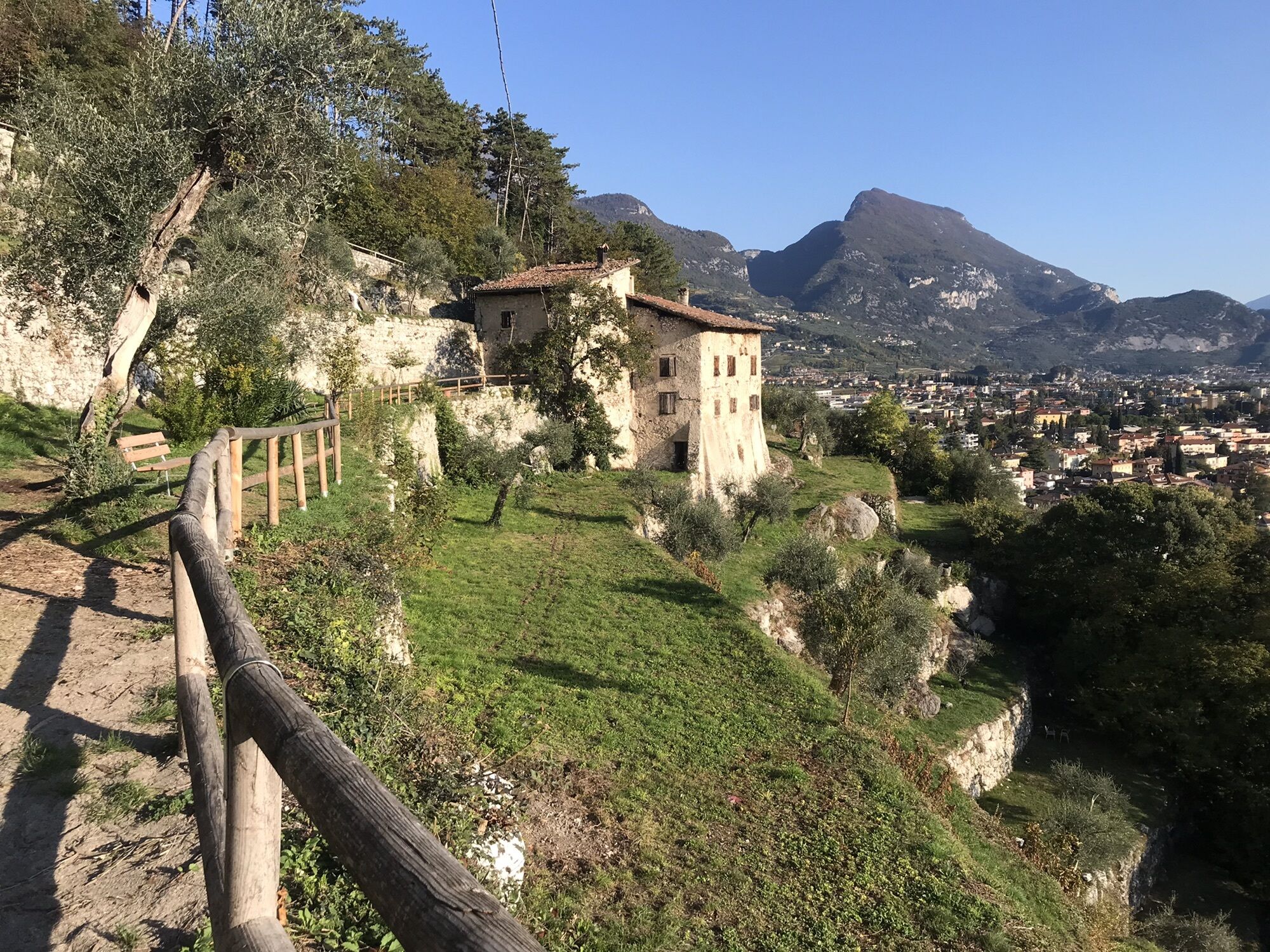
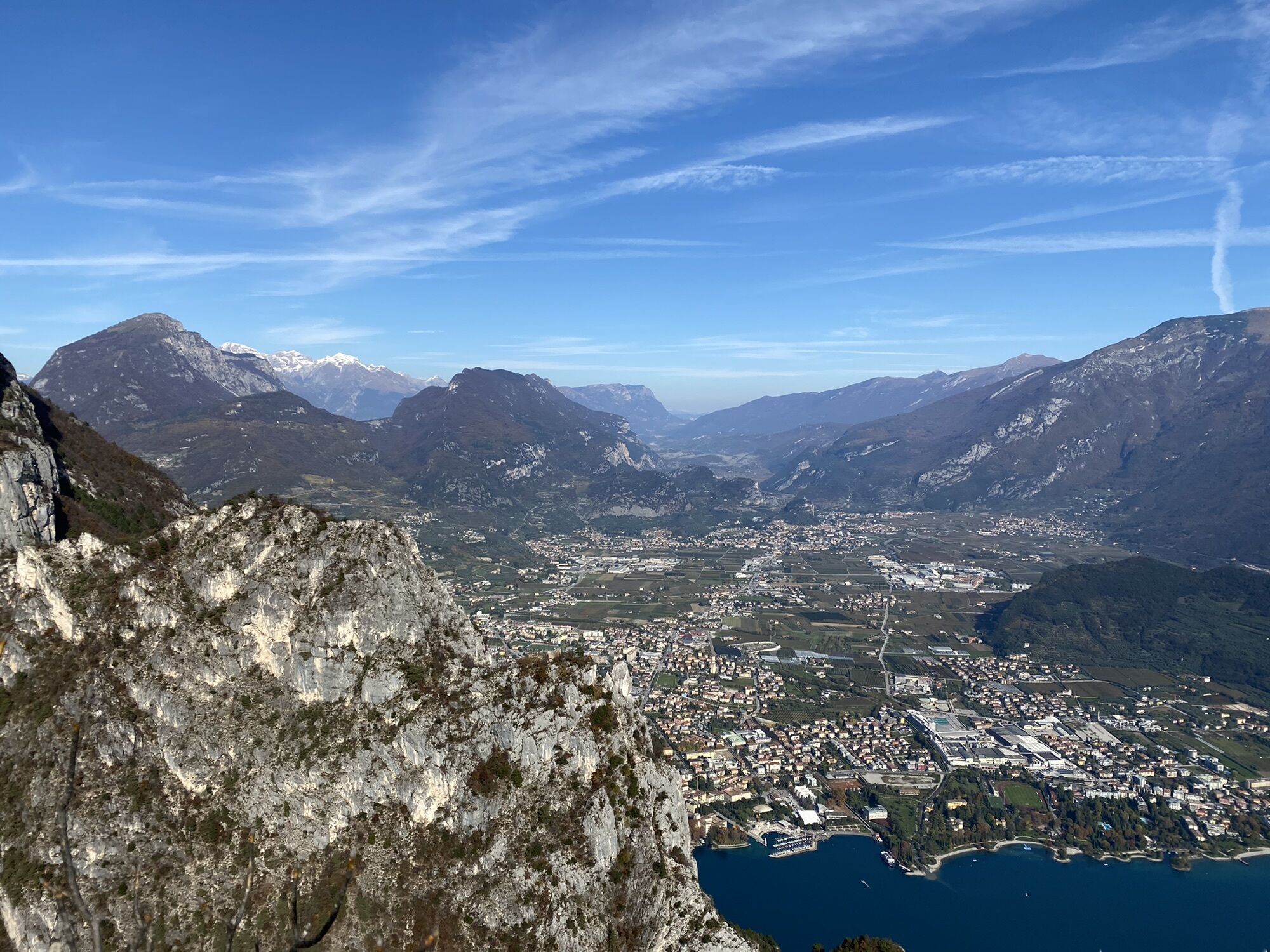
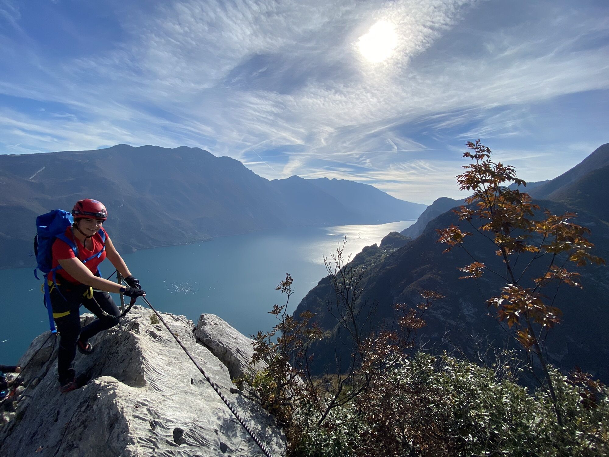
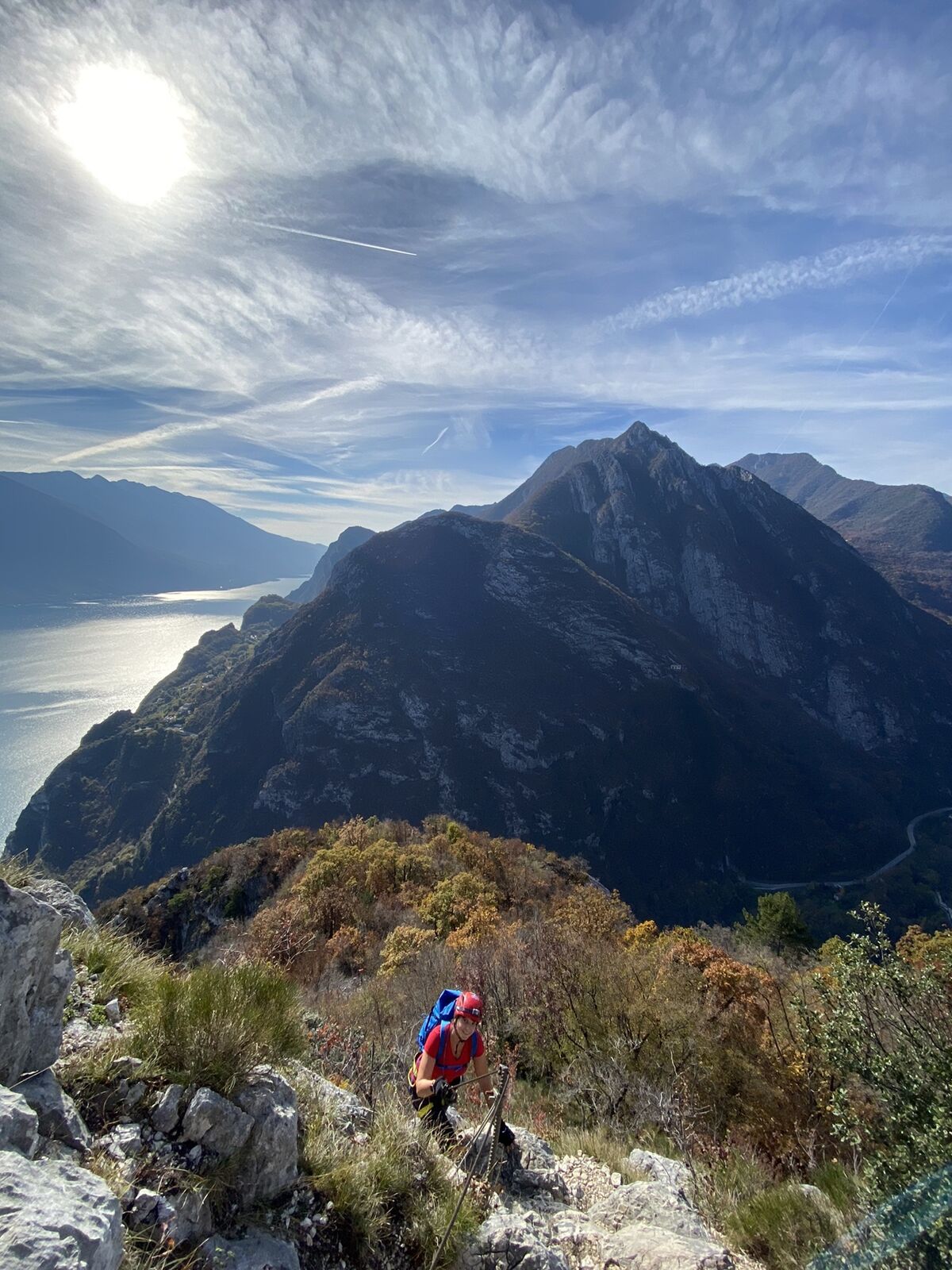
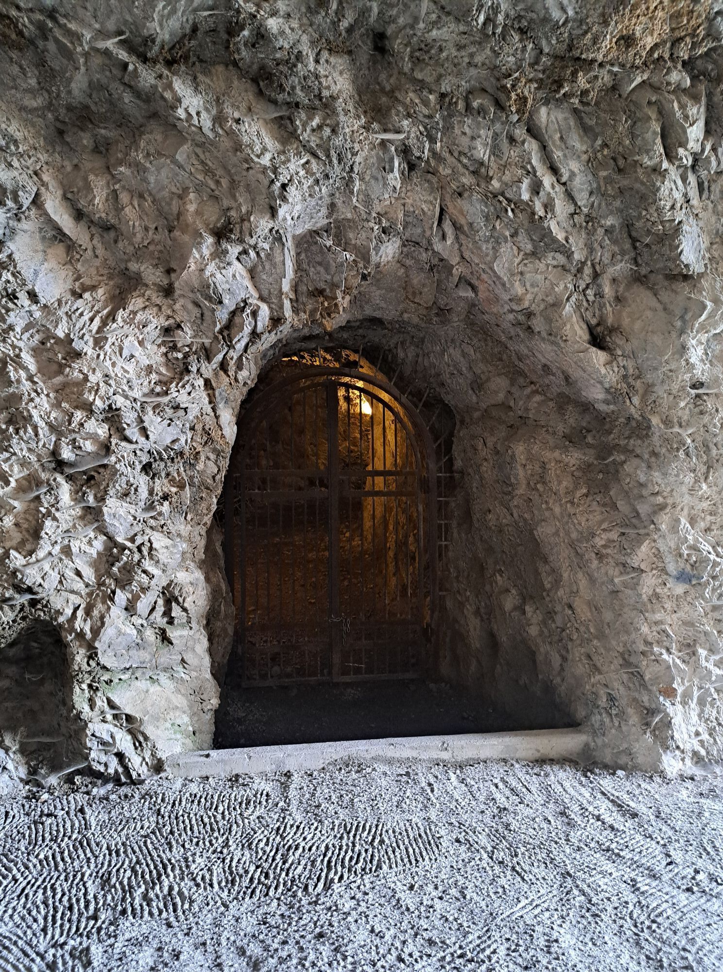
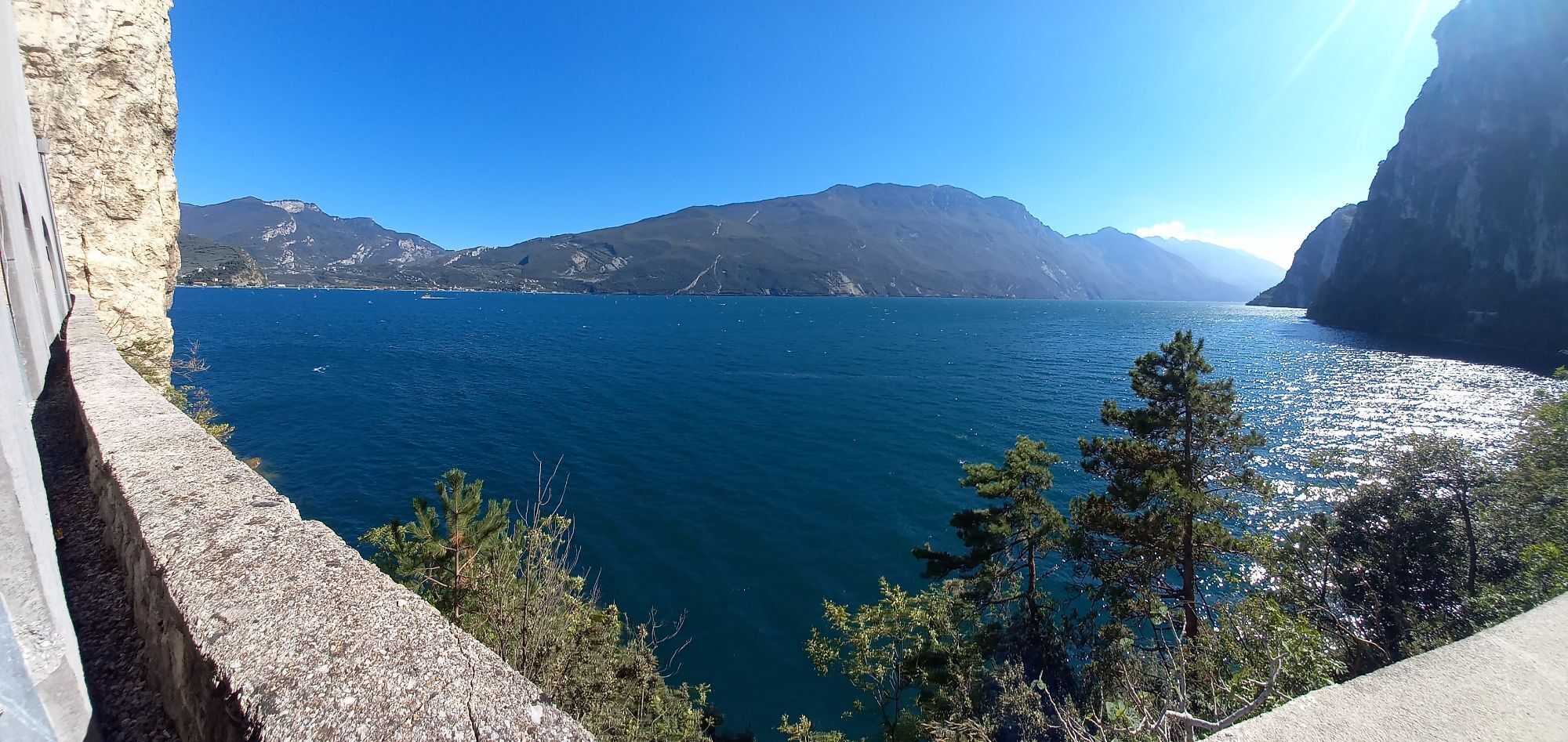
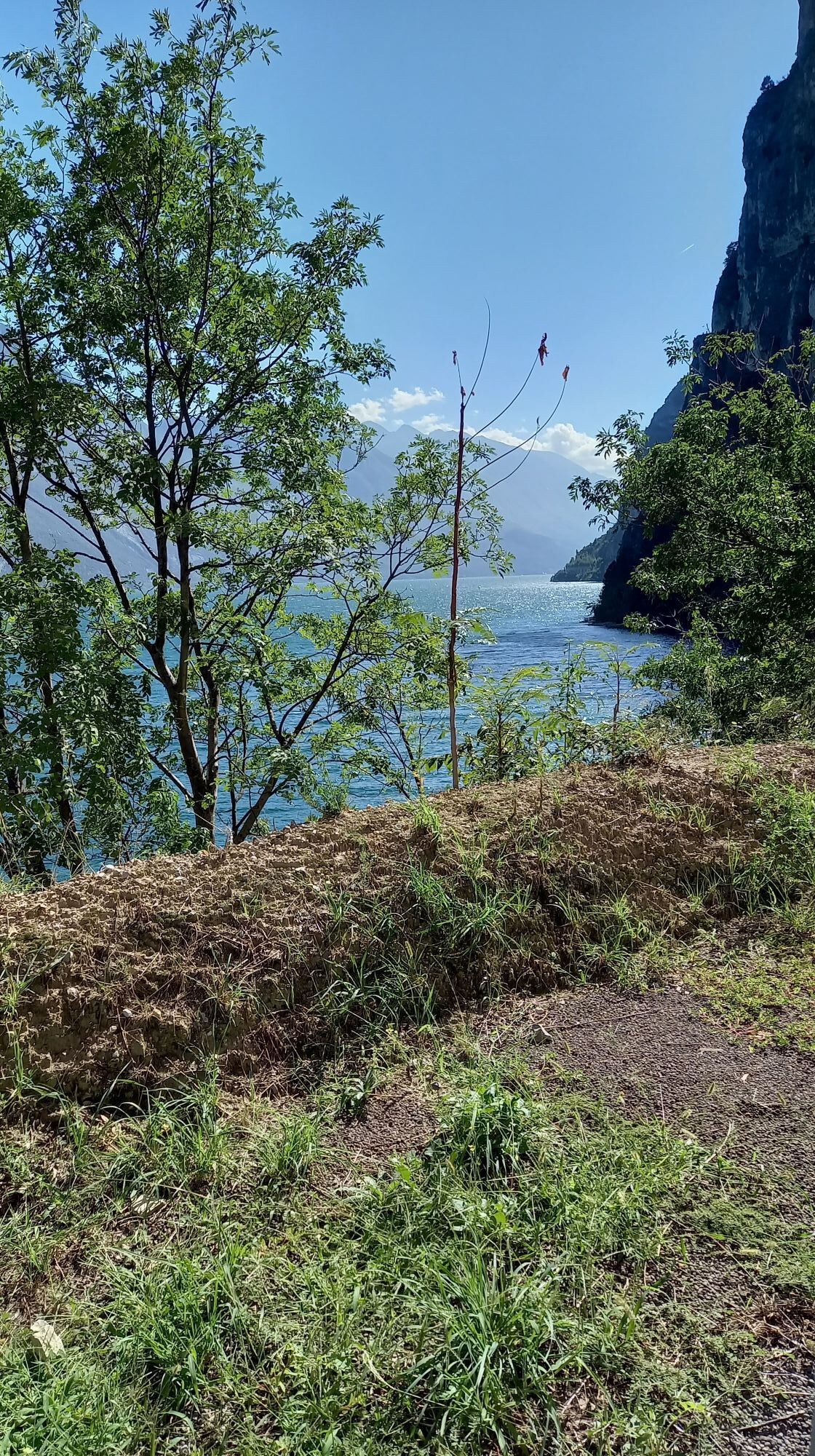
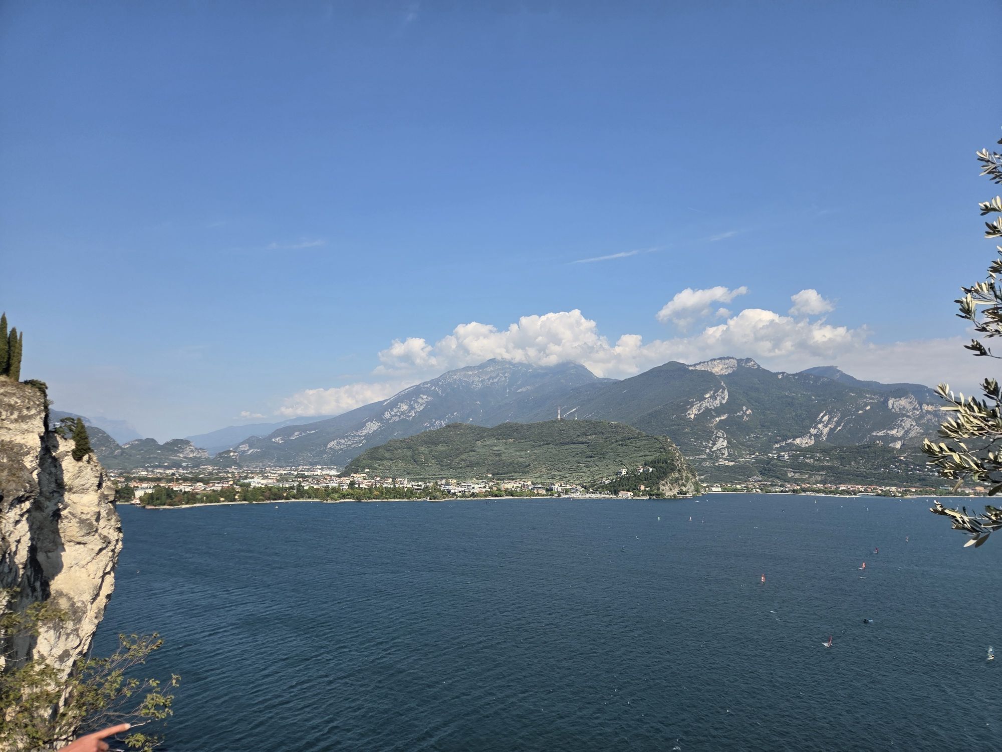
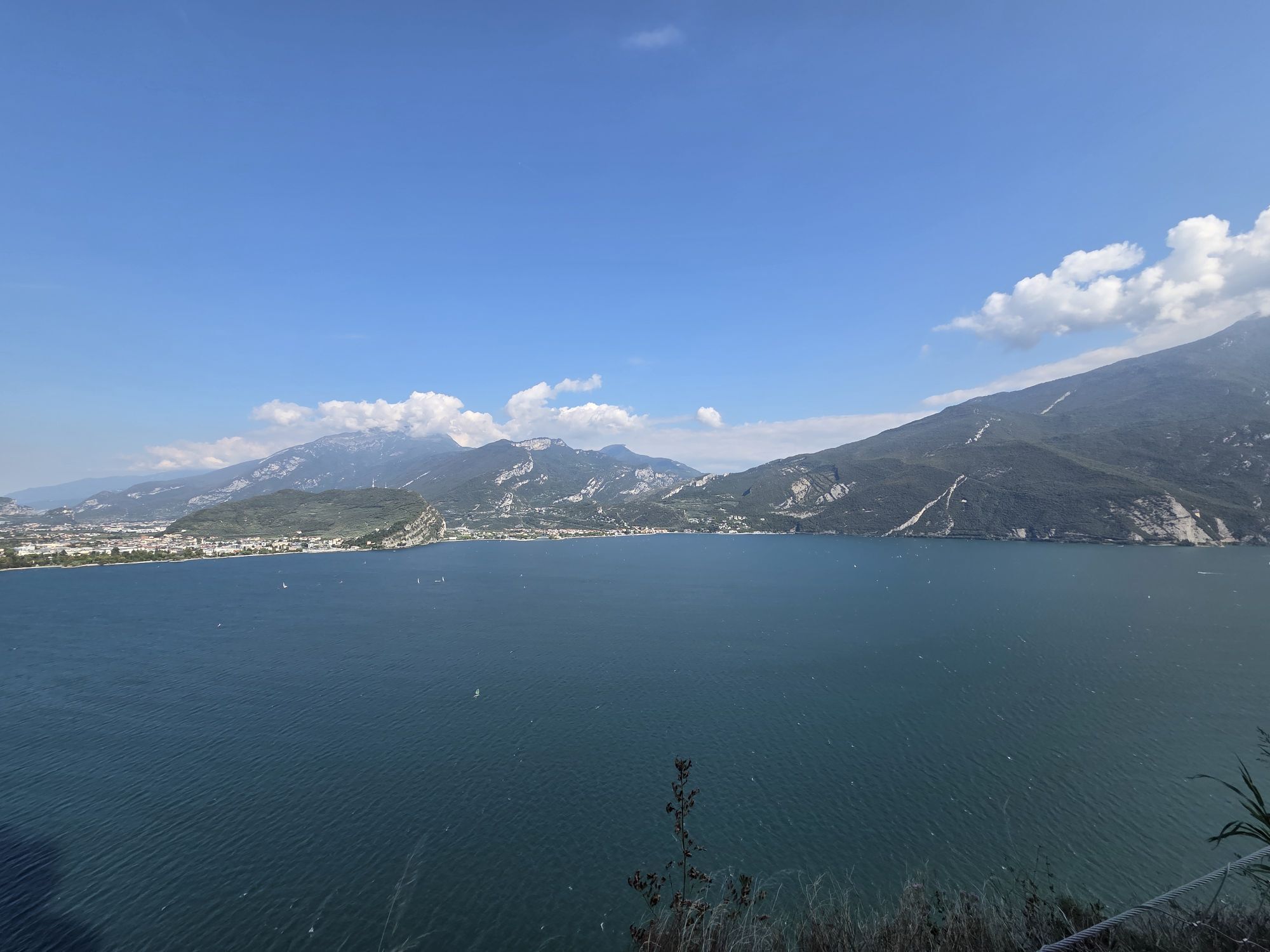
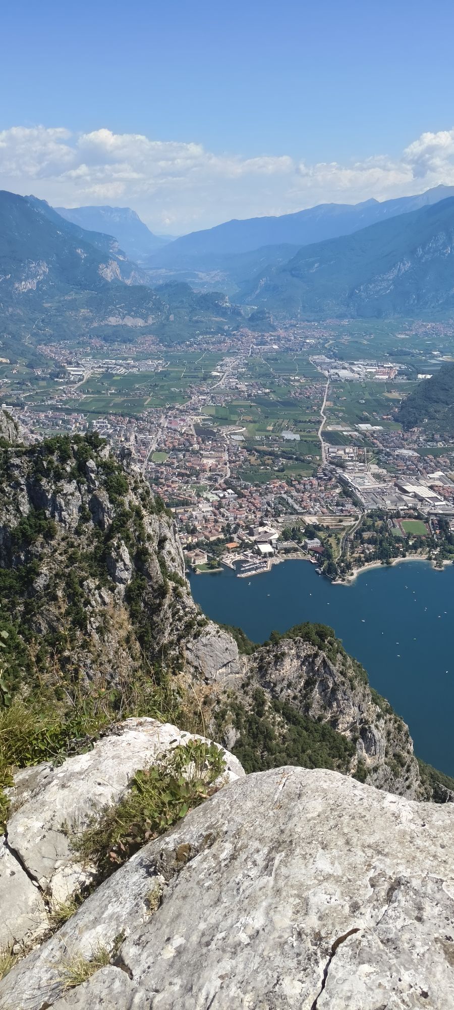
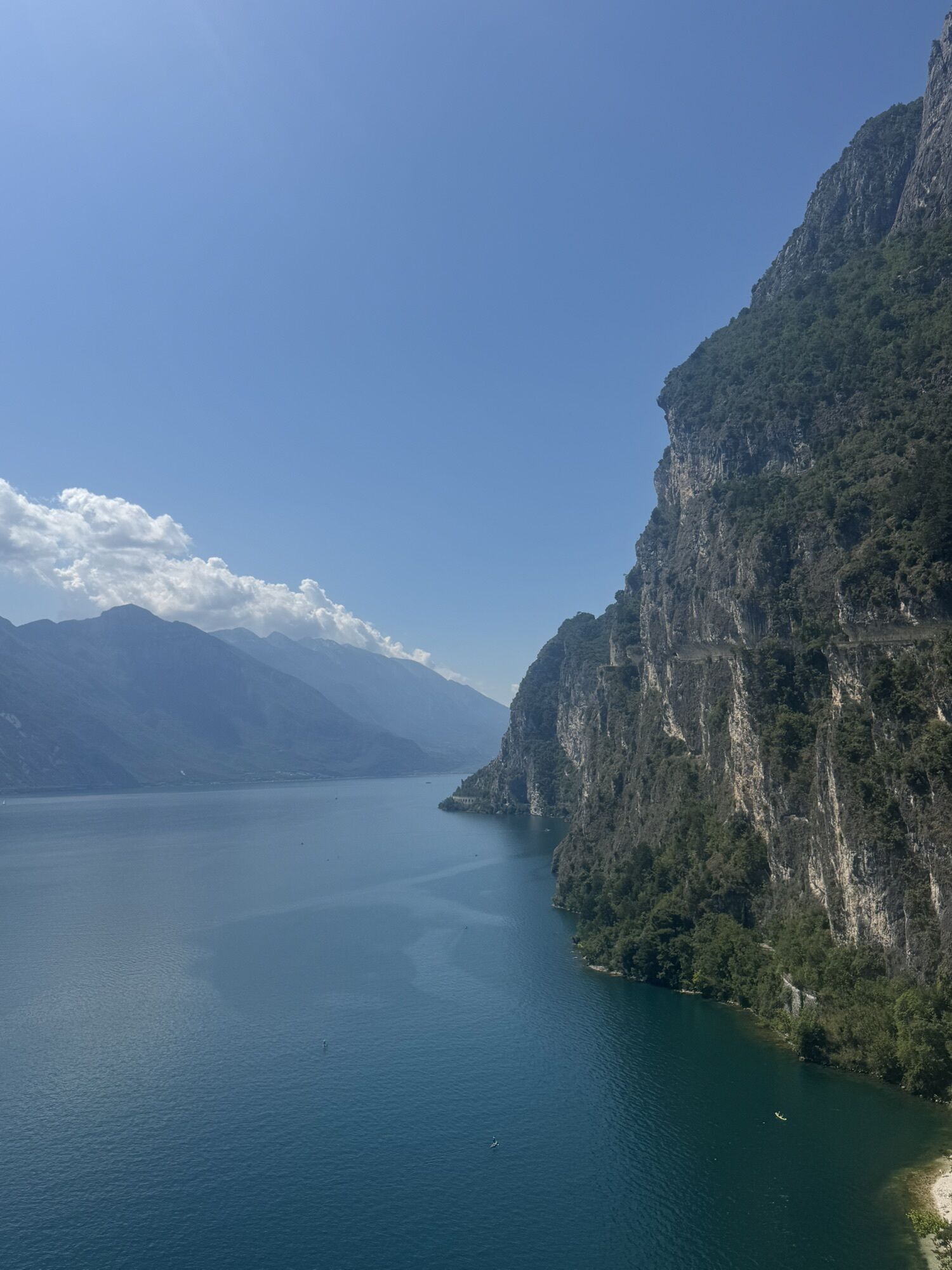
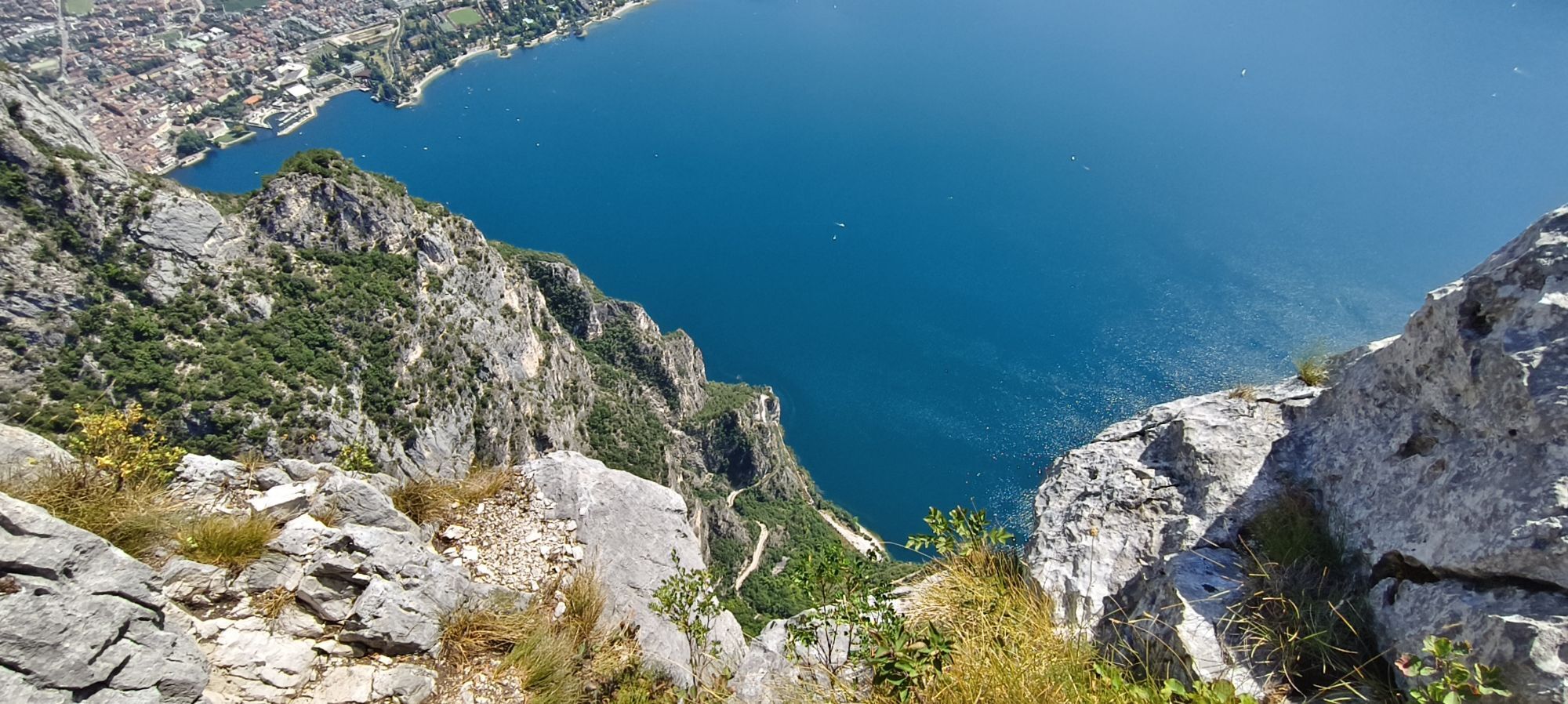
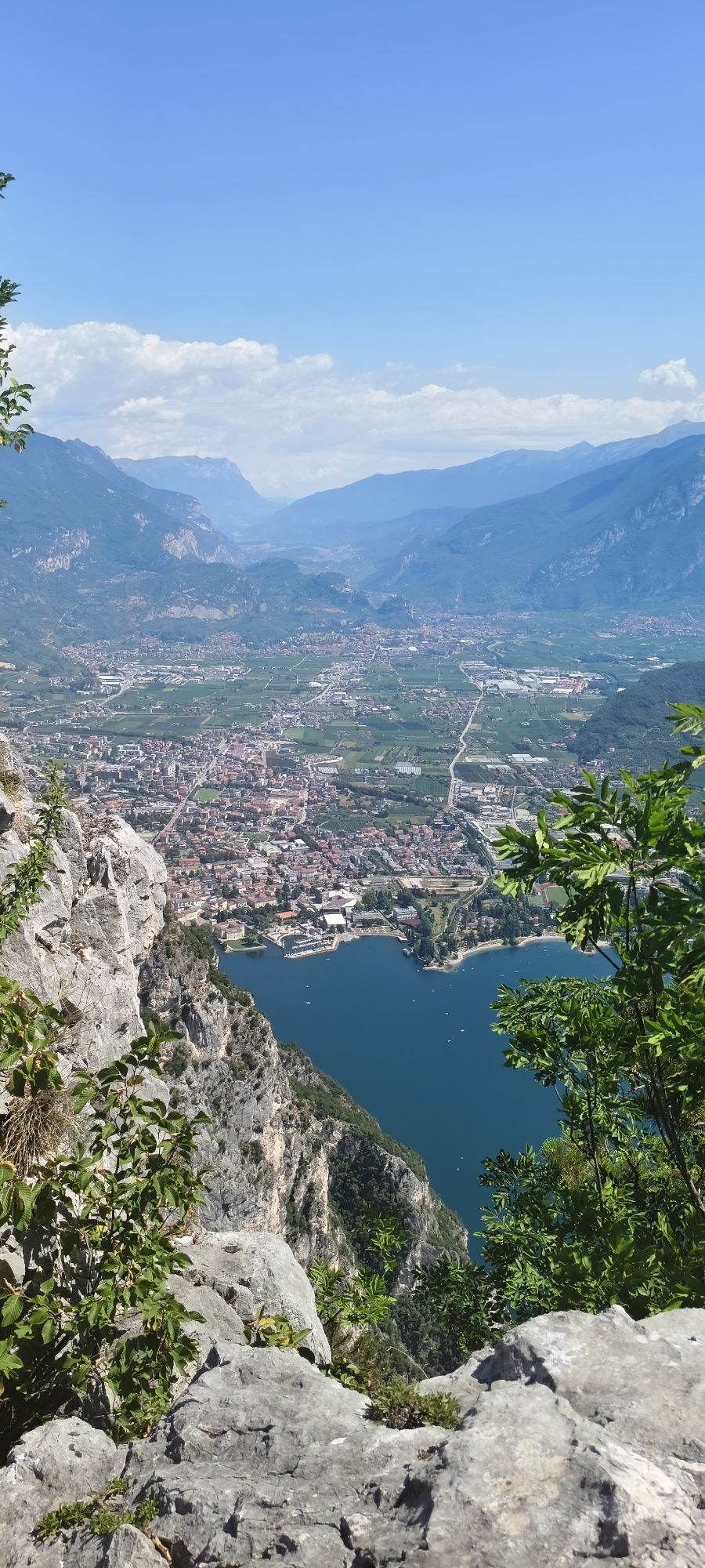
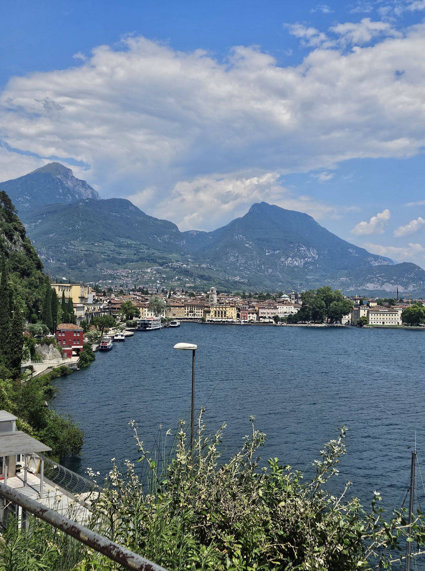
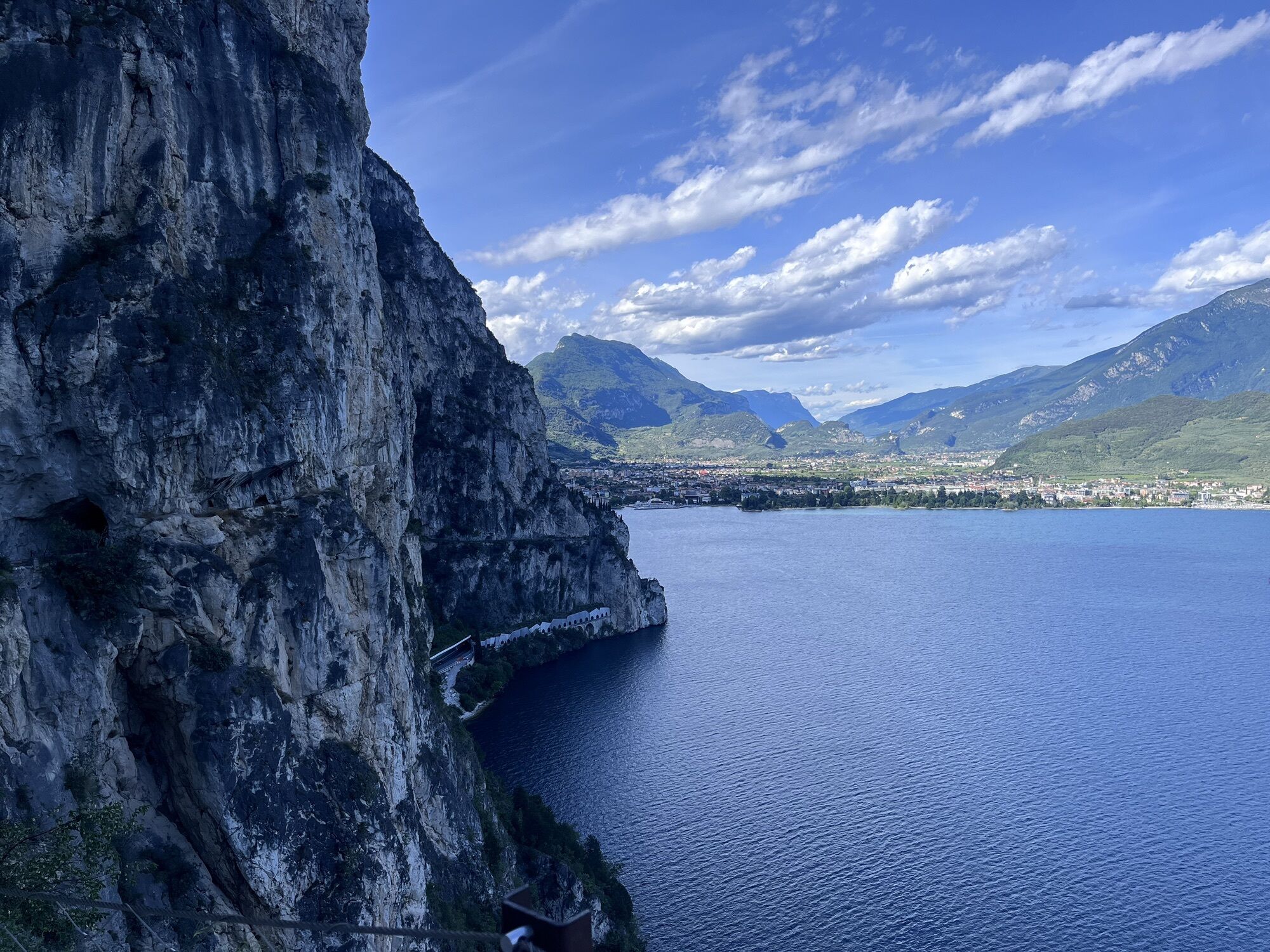
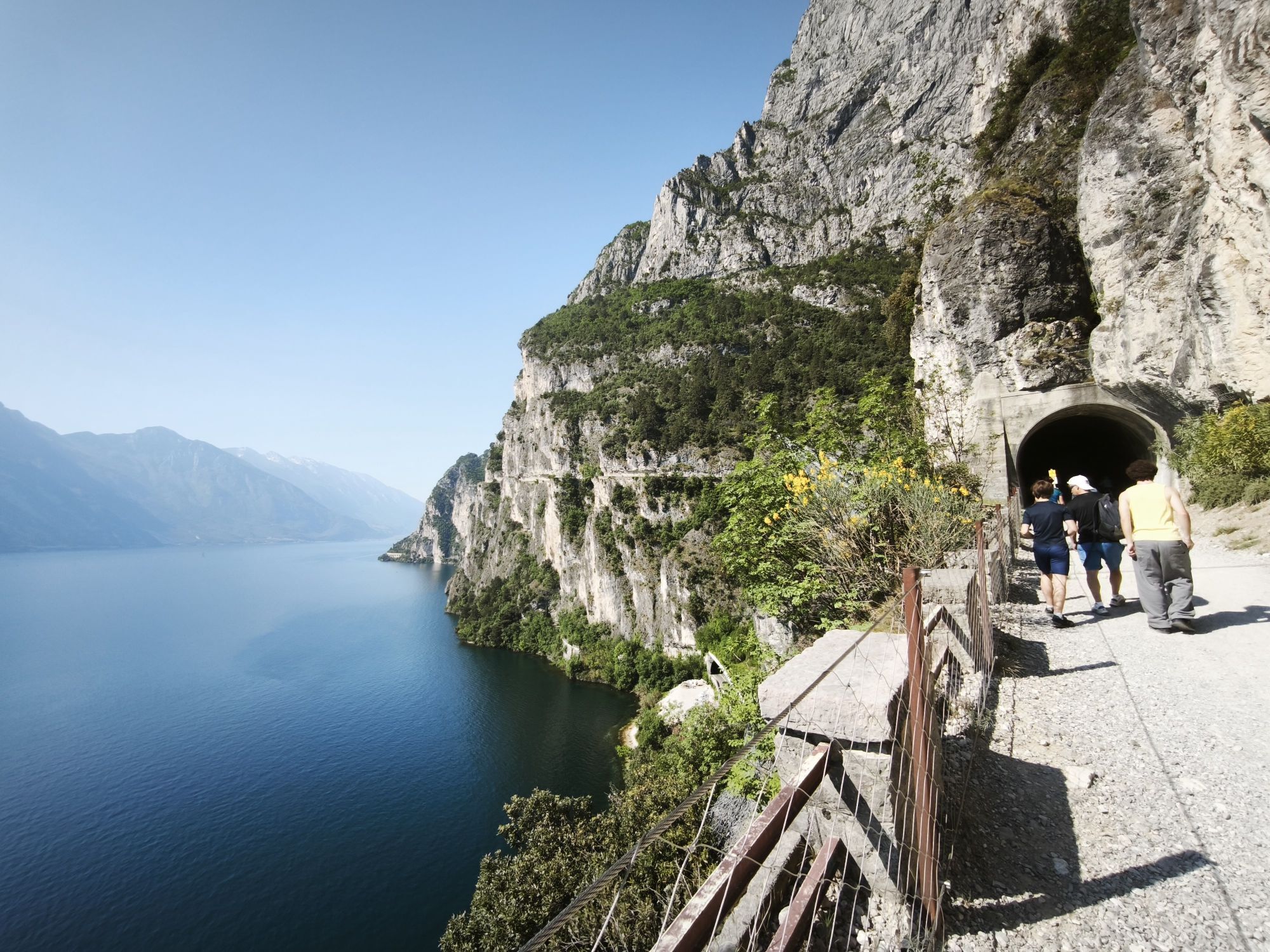
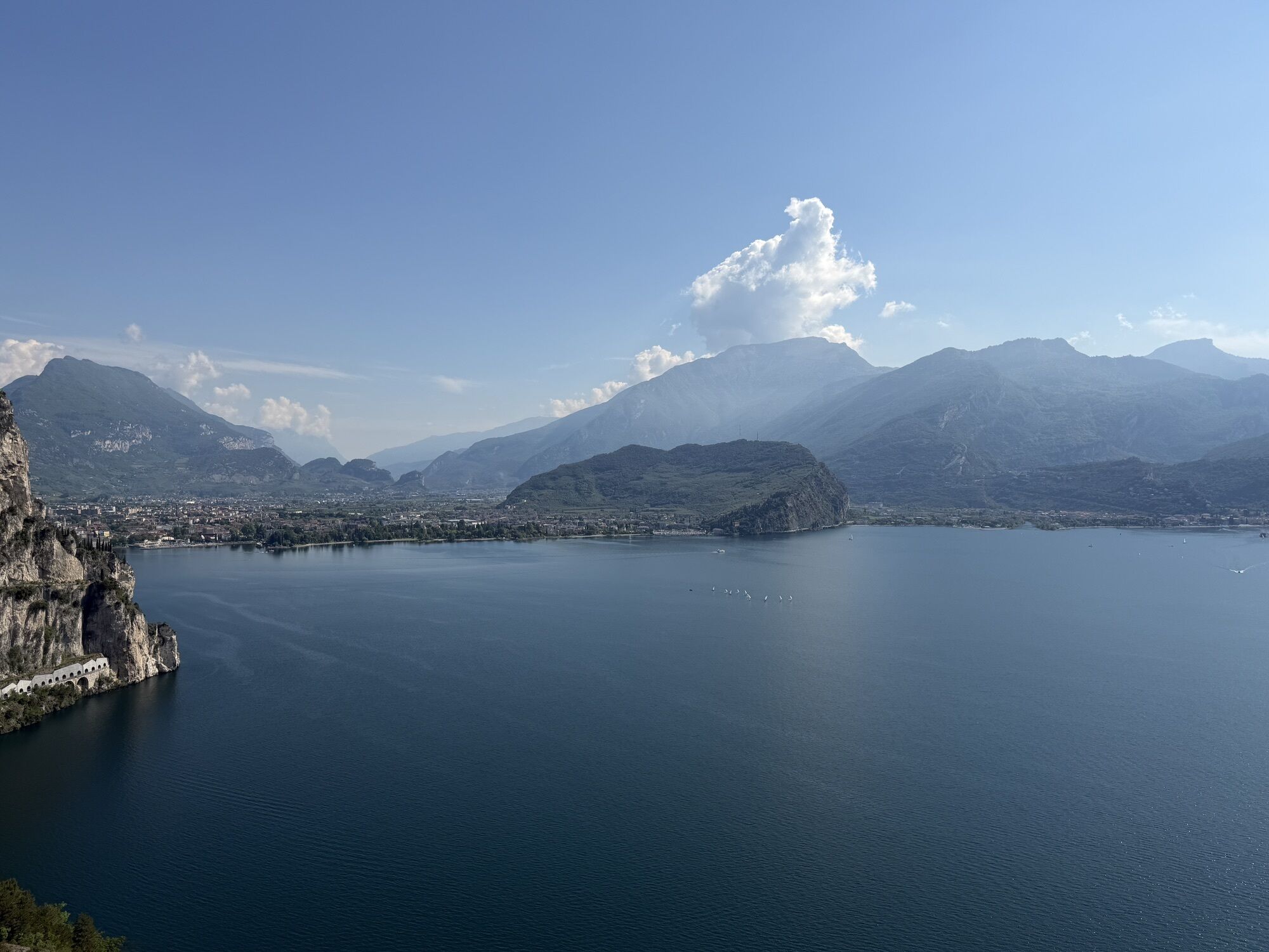
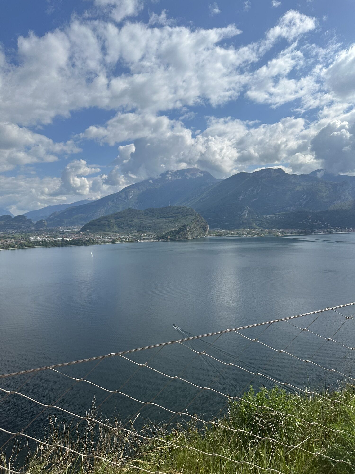
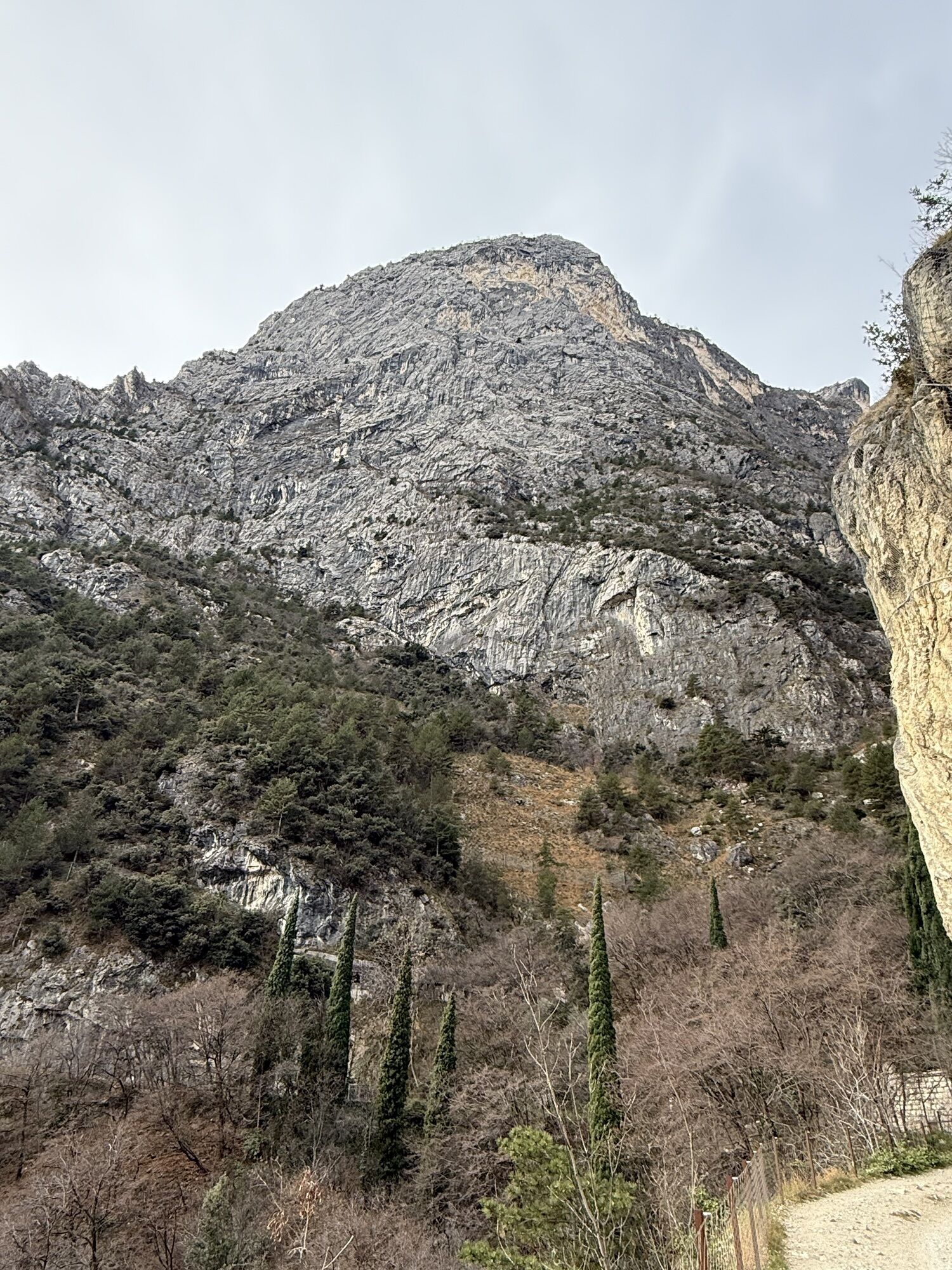
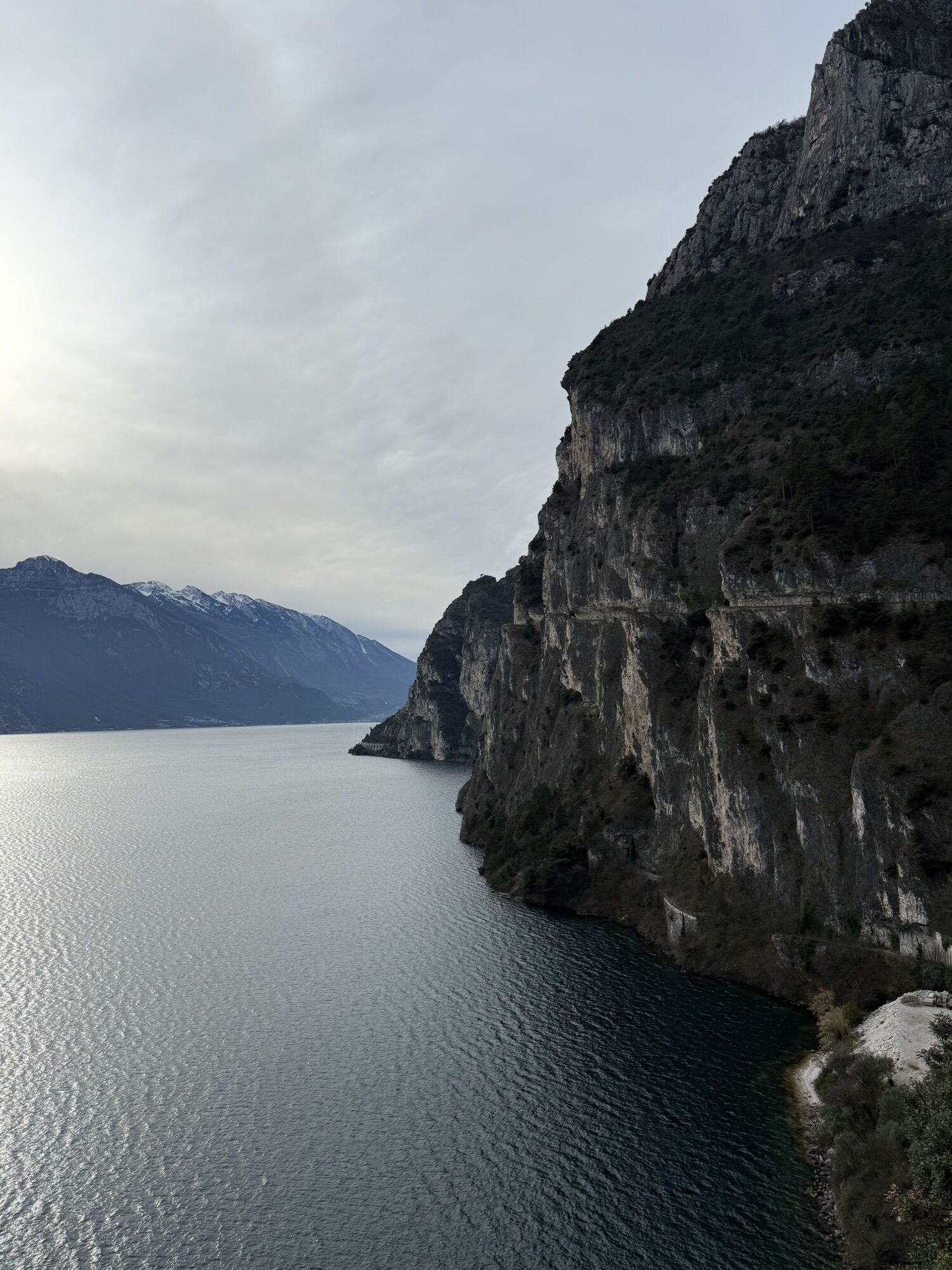
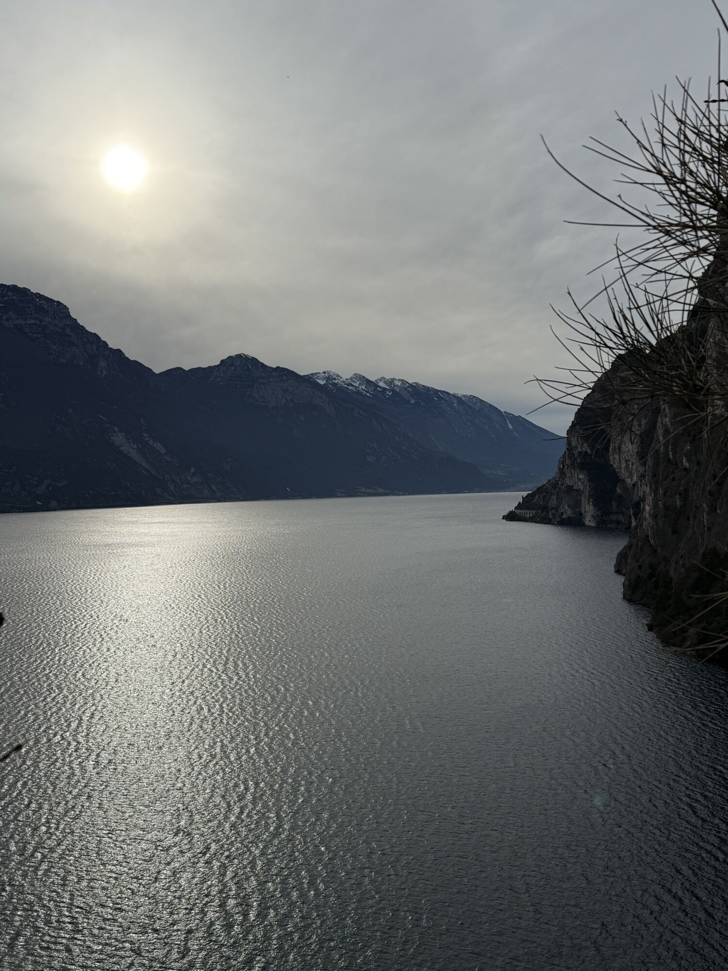
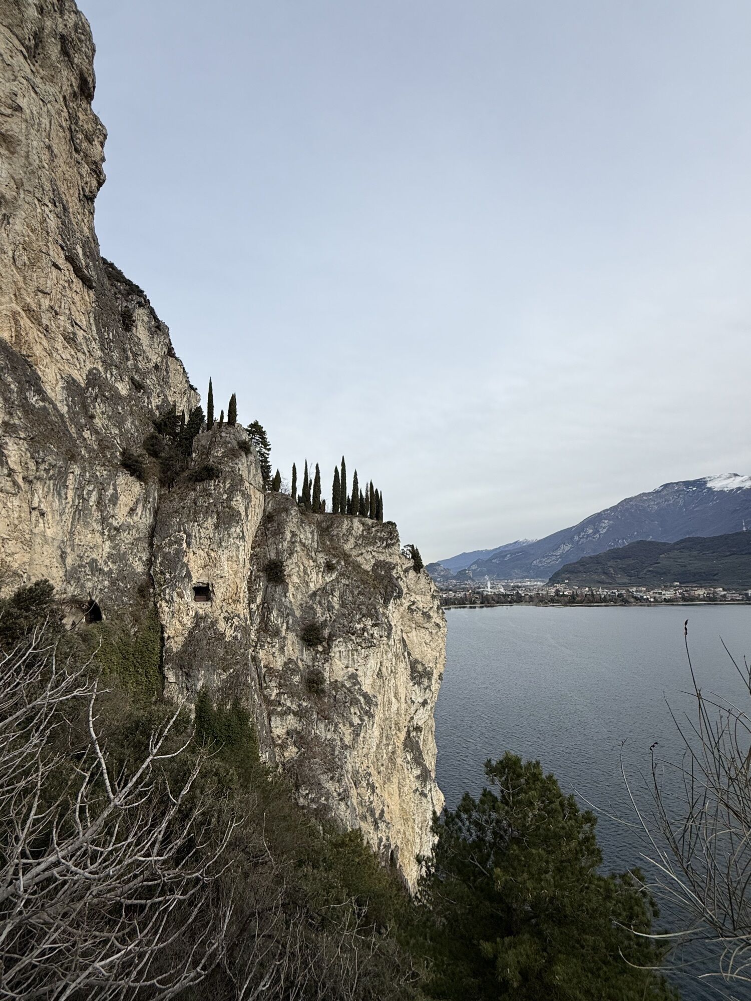
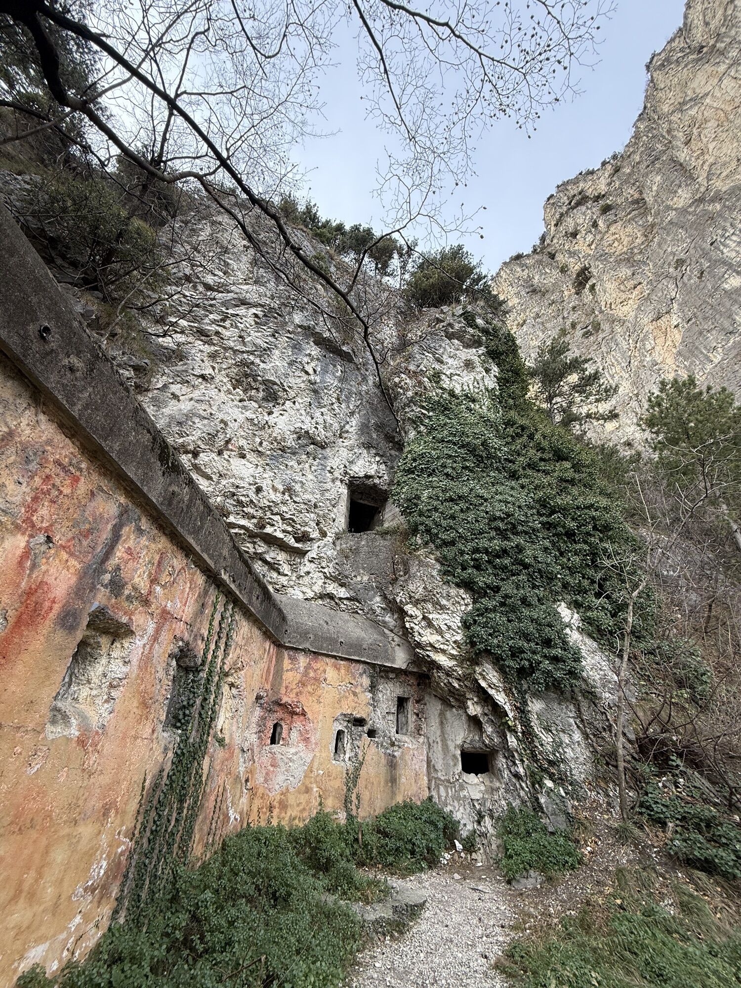

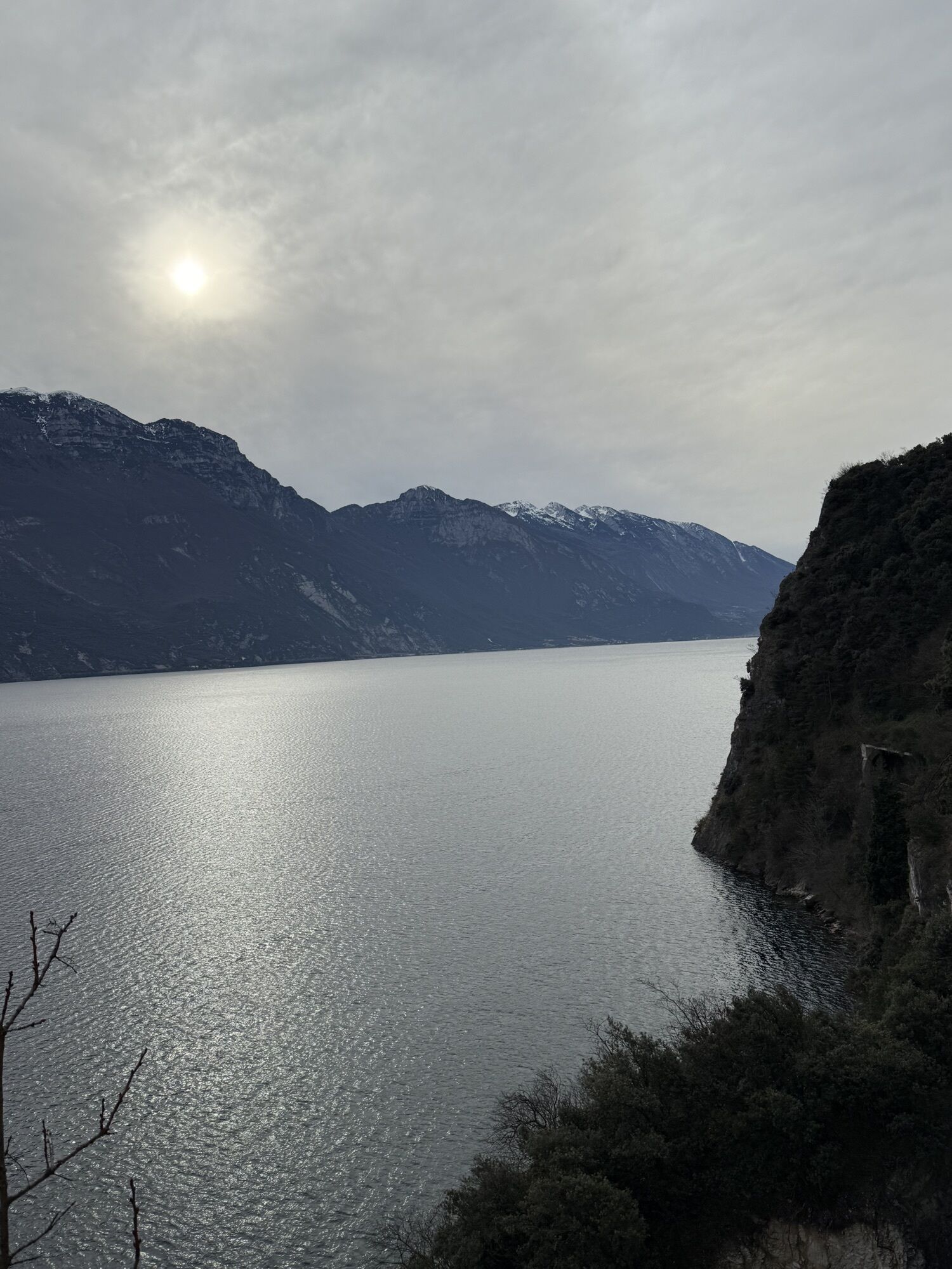

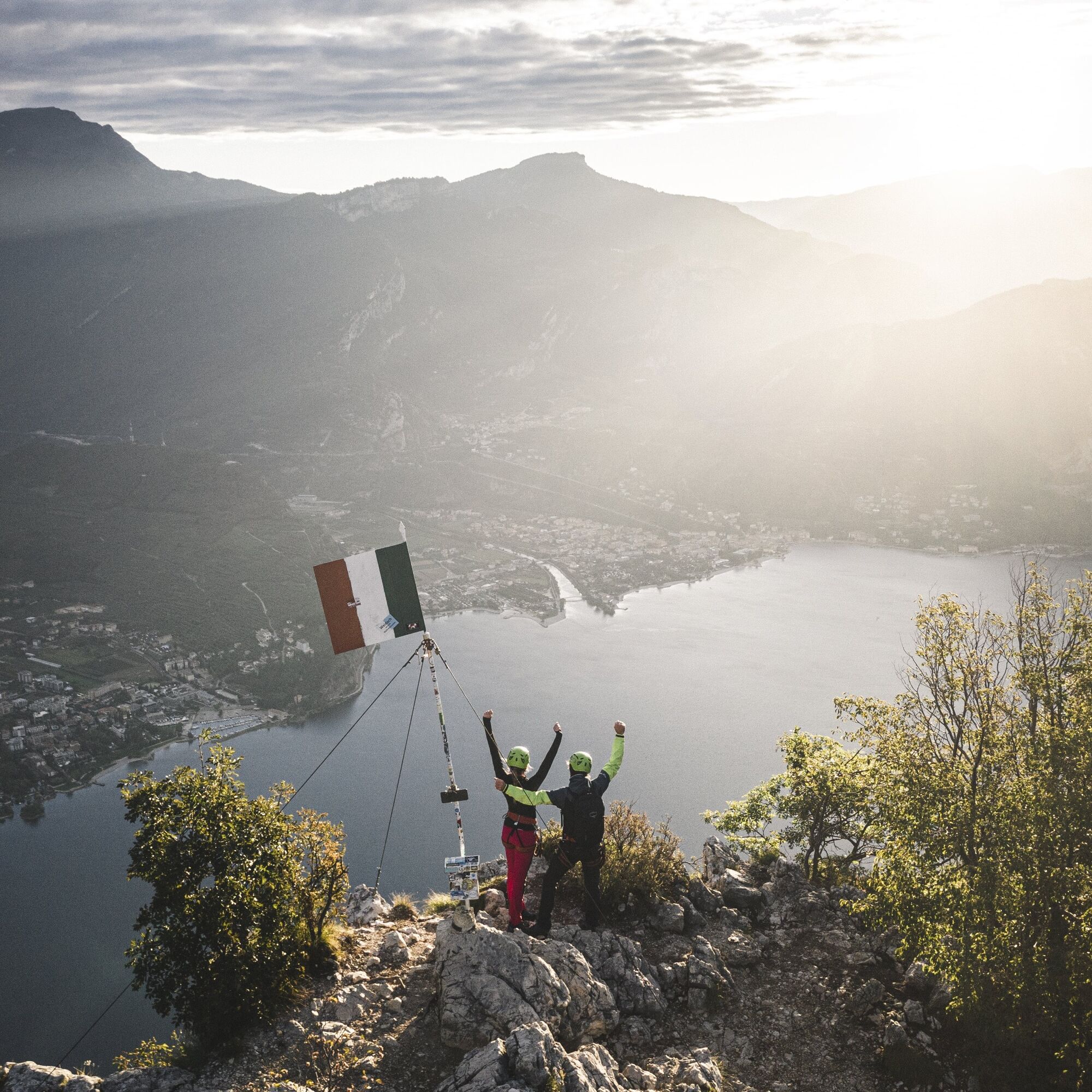
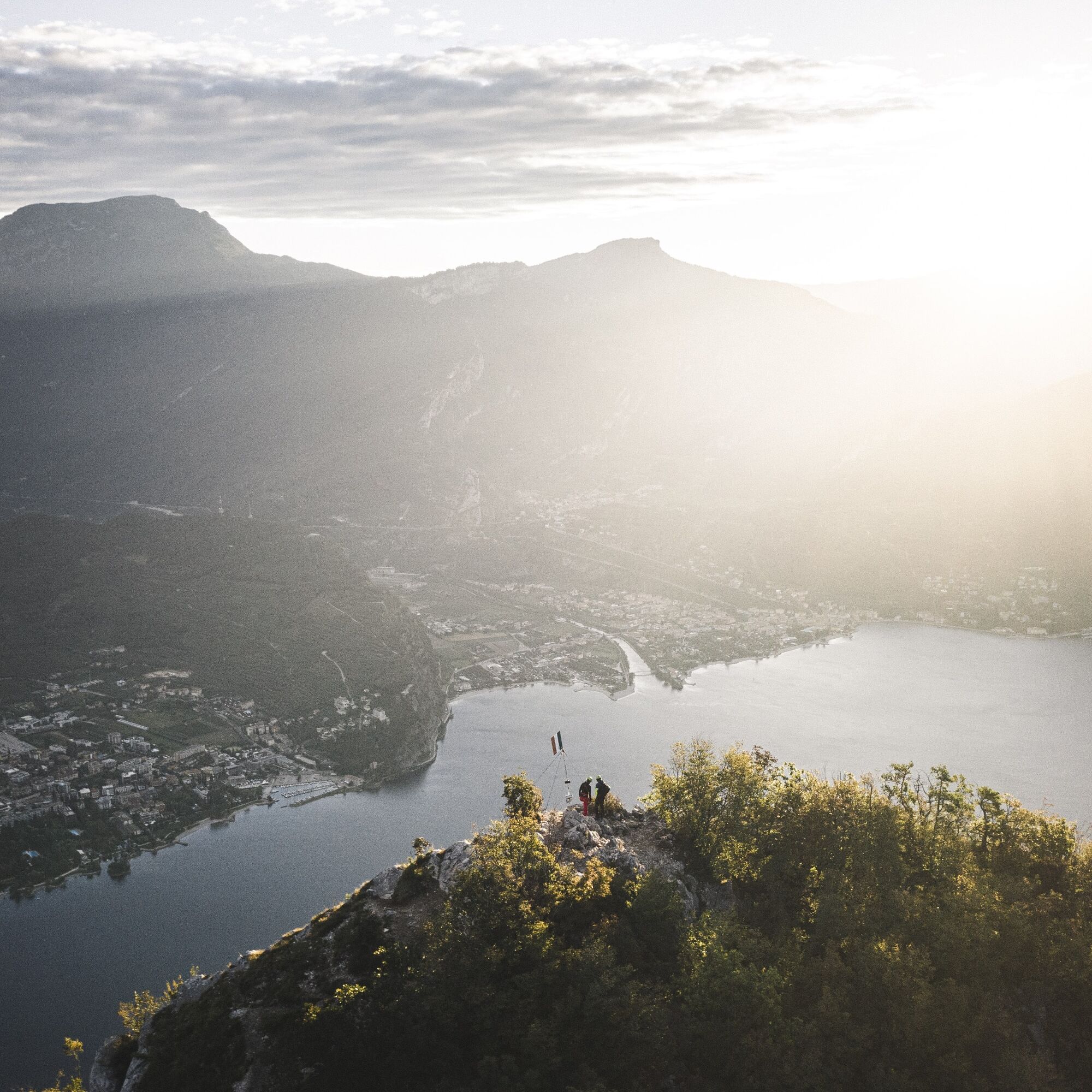
A stunning itinerary that runs along the southern ridge of Cima Capi, towering above Lake Garda. Part of the system of bolted trails and via ferratas that run along the sheer walls of the Rochetta massif,...
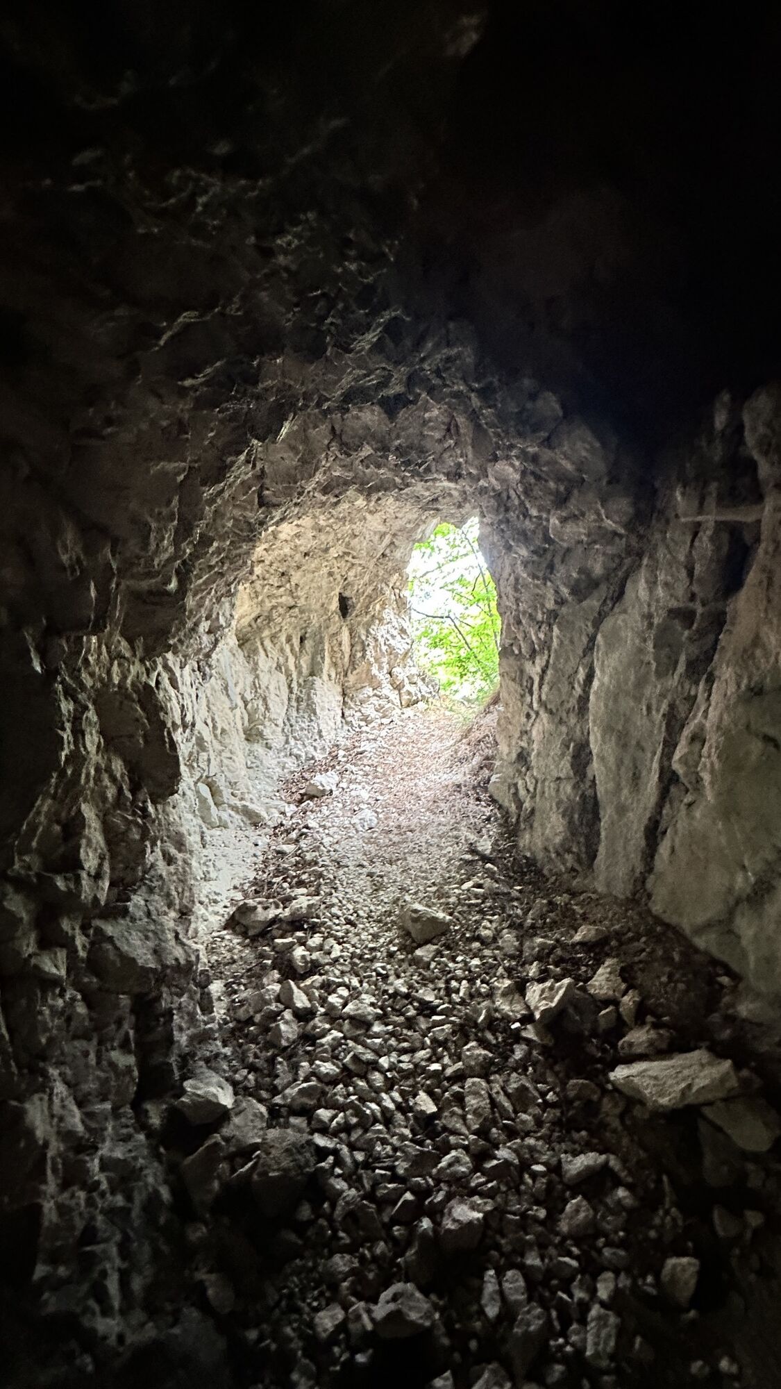
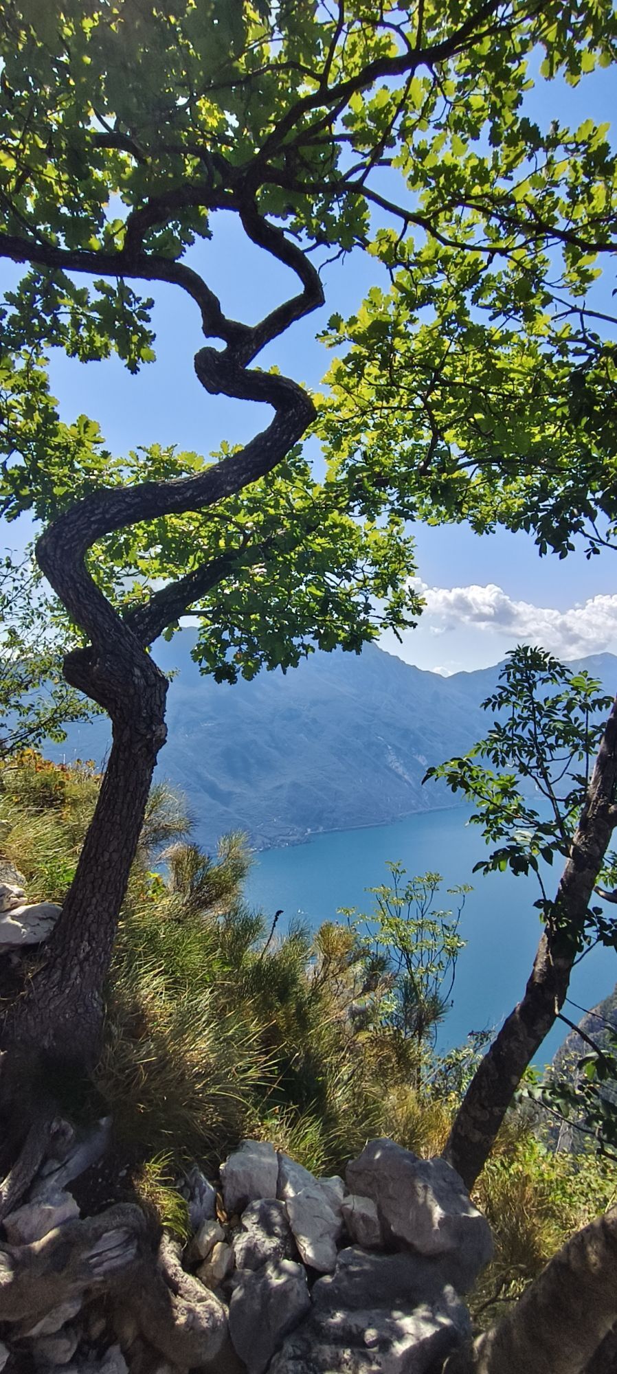
A stunning itinerary that runs along the southern ridge of Cima Capi, towering above Lake Garda. Part of the system of bolted trails and via ferratas that run along the sheer walls of the Rochetta massif, crossing trenches and outposts dating back to the Great War.
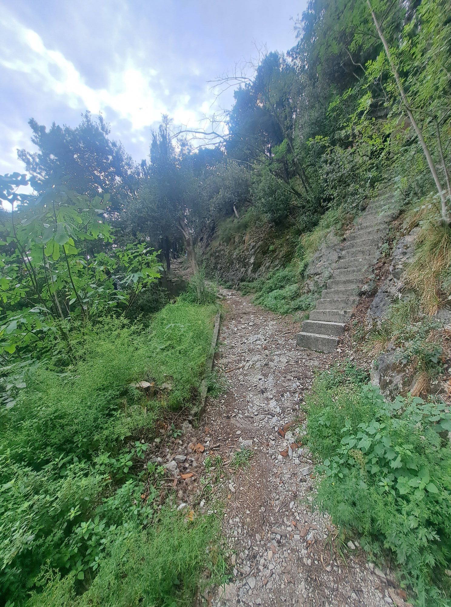
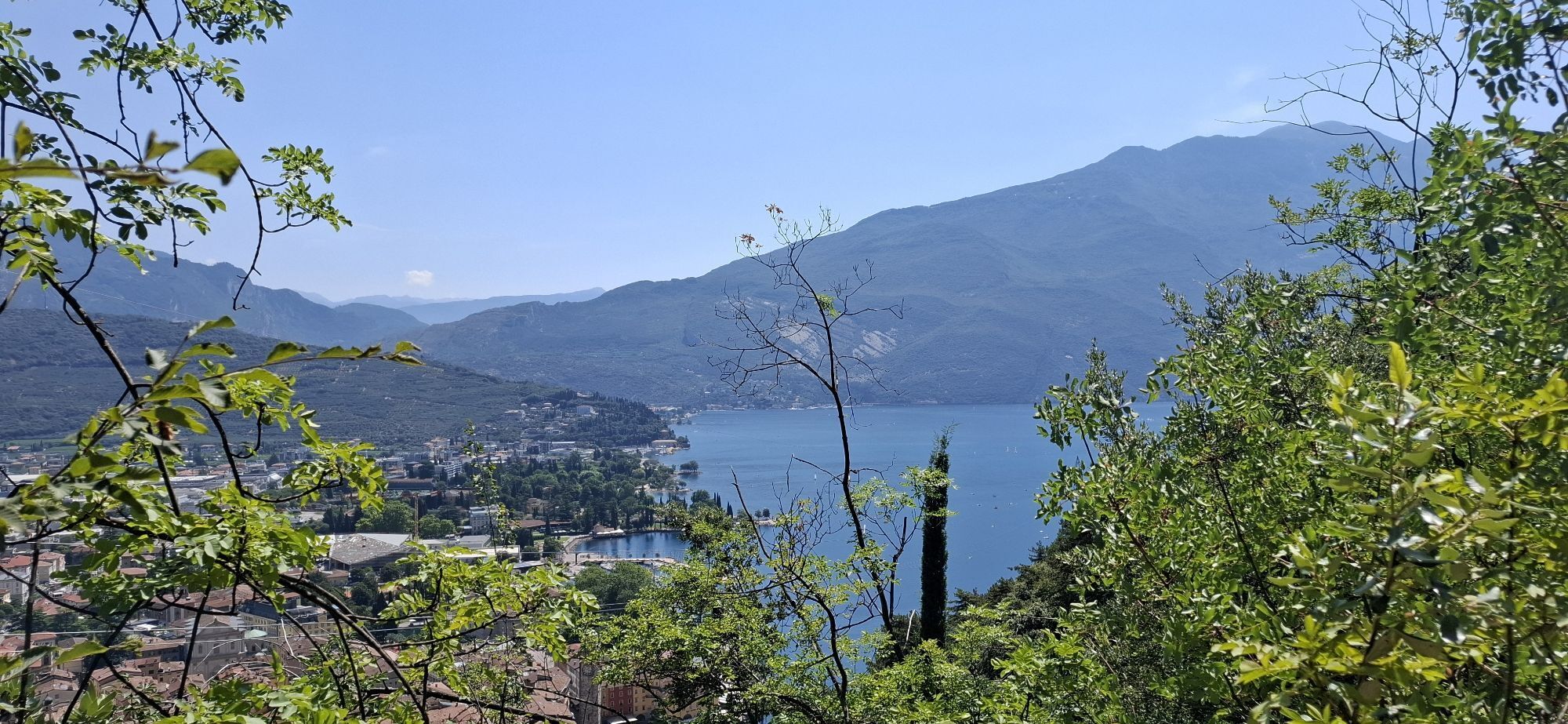
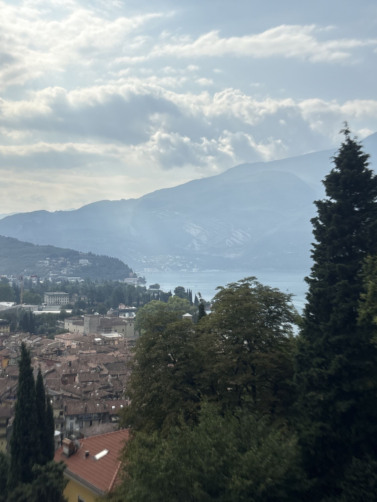
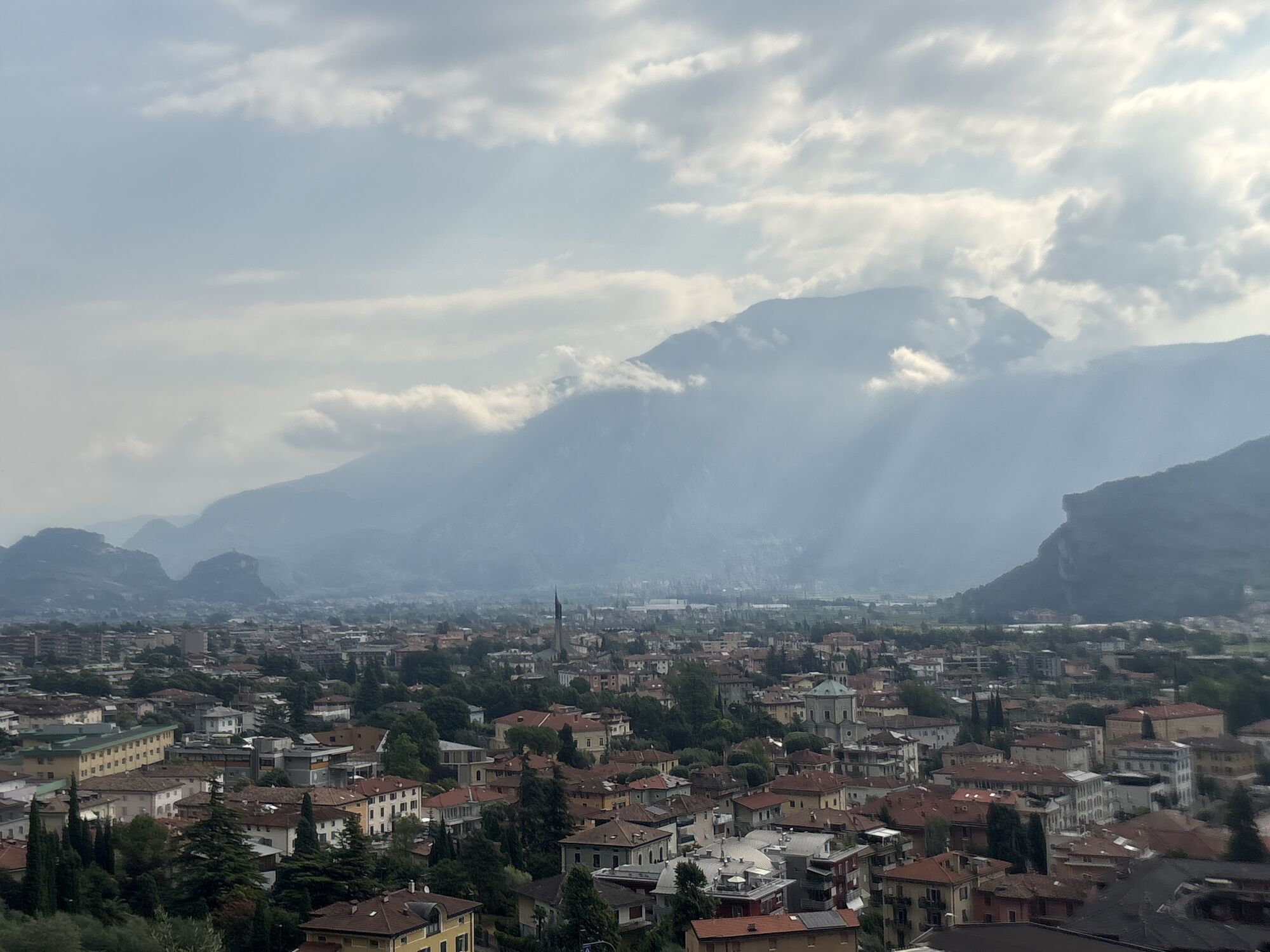
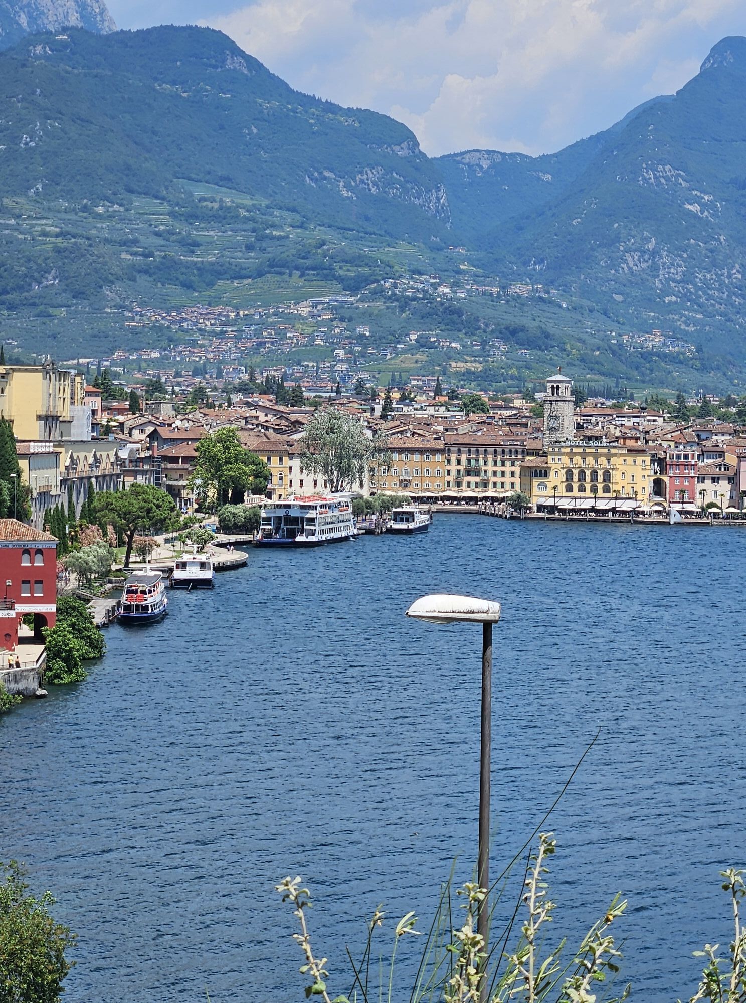
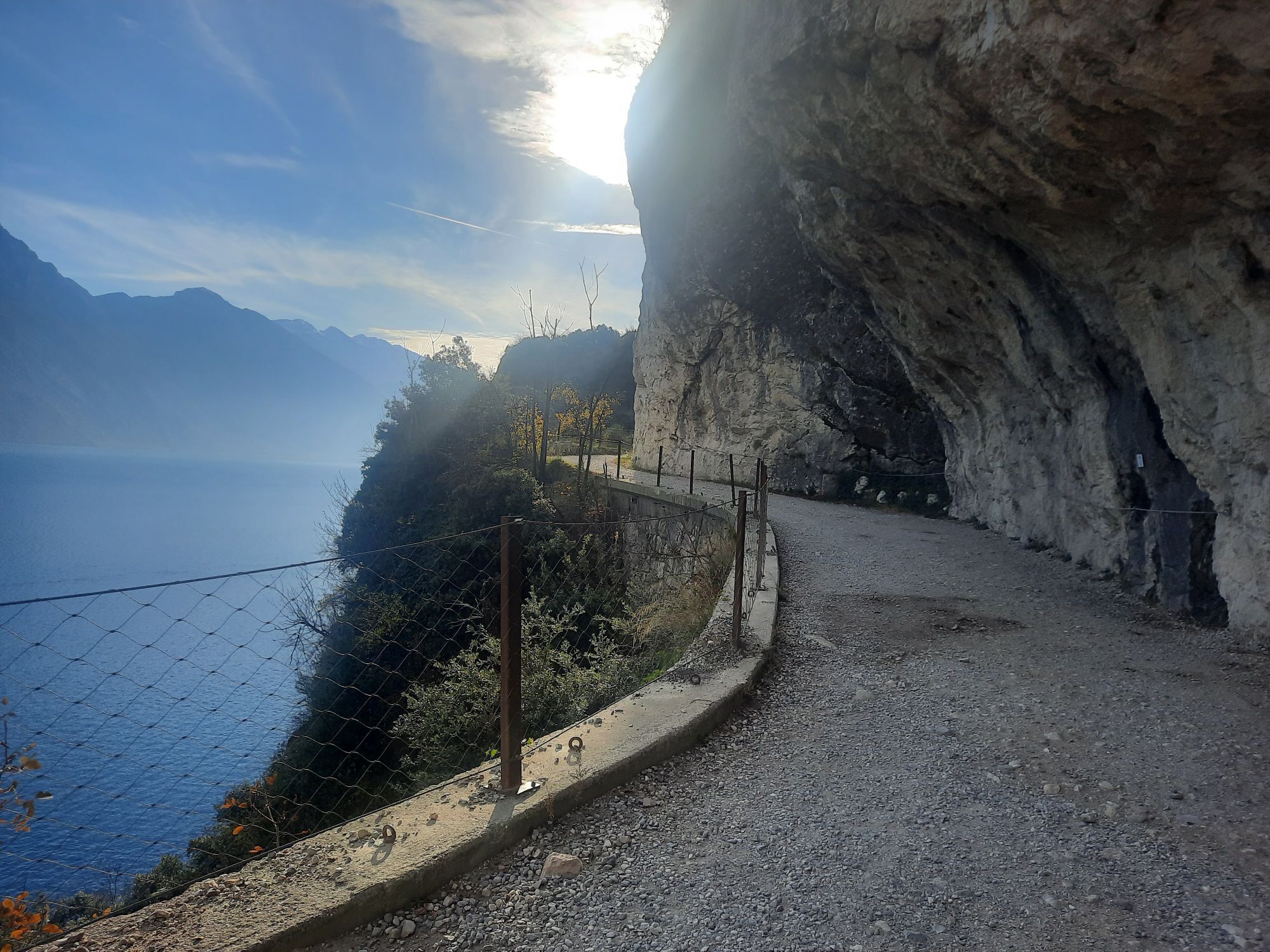
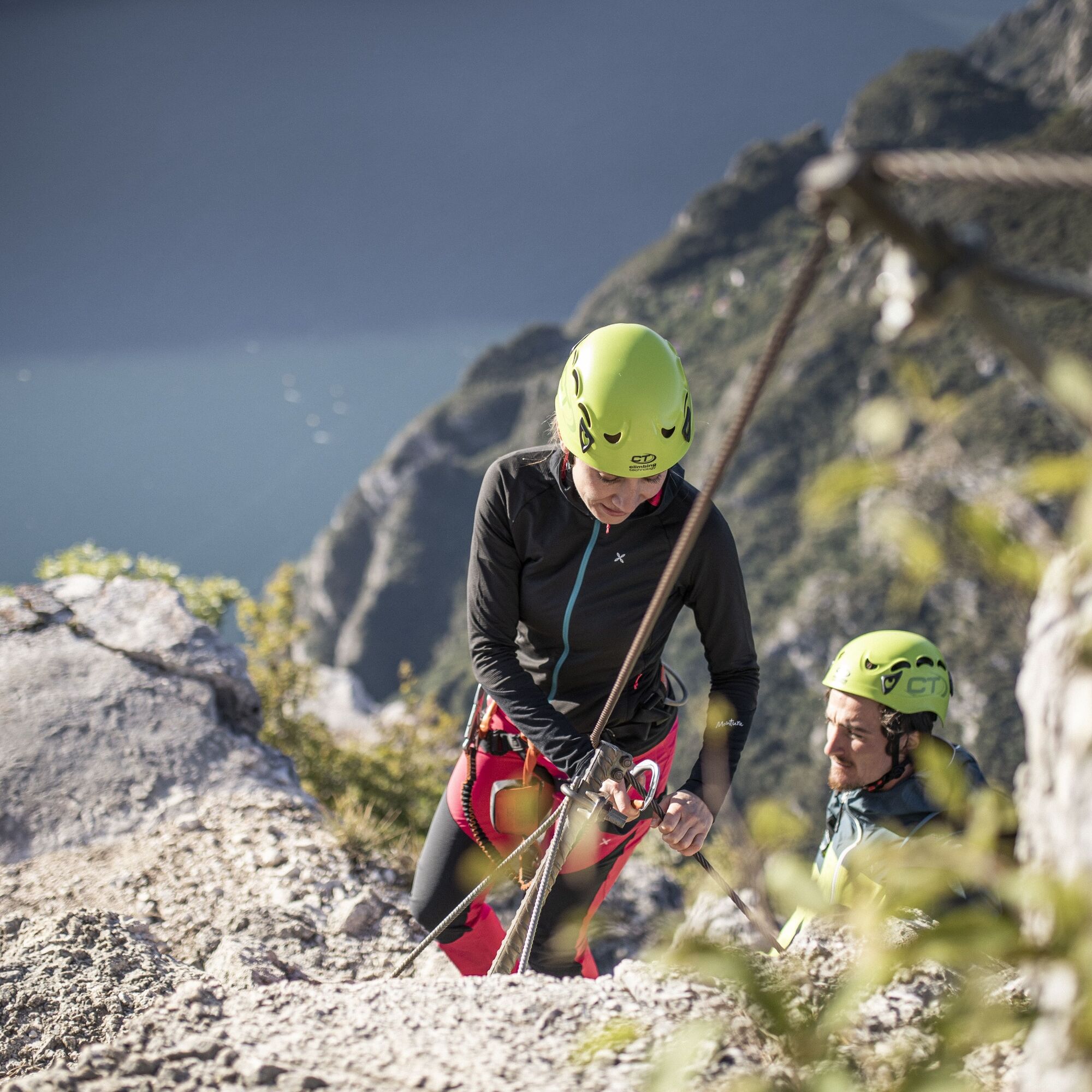
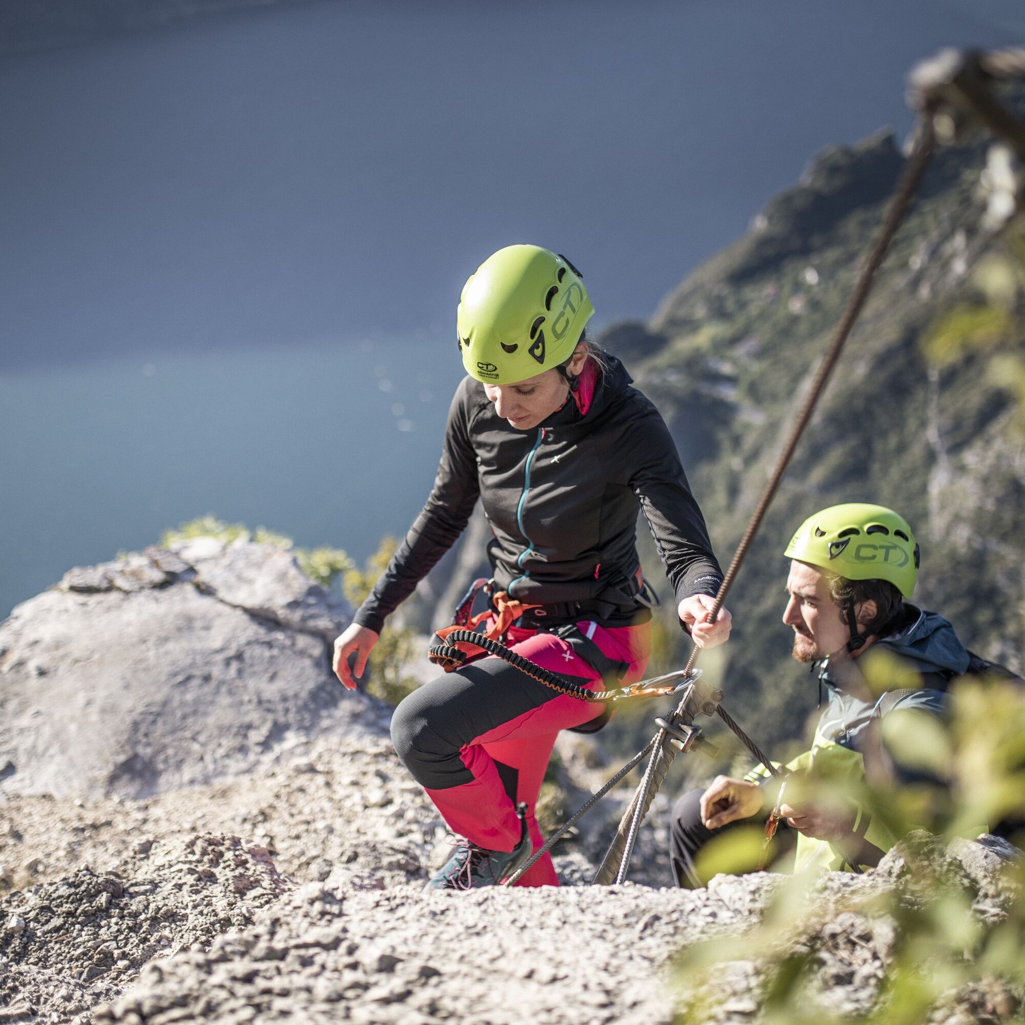
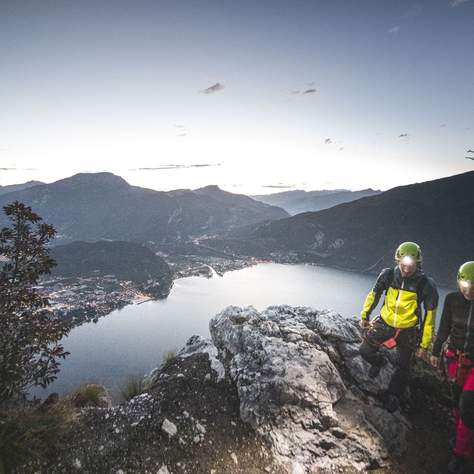
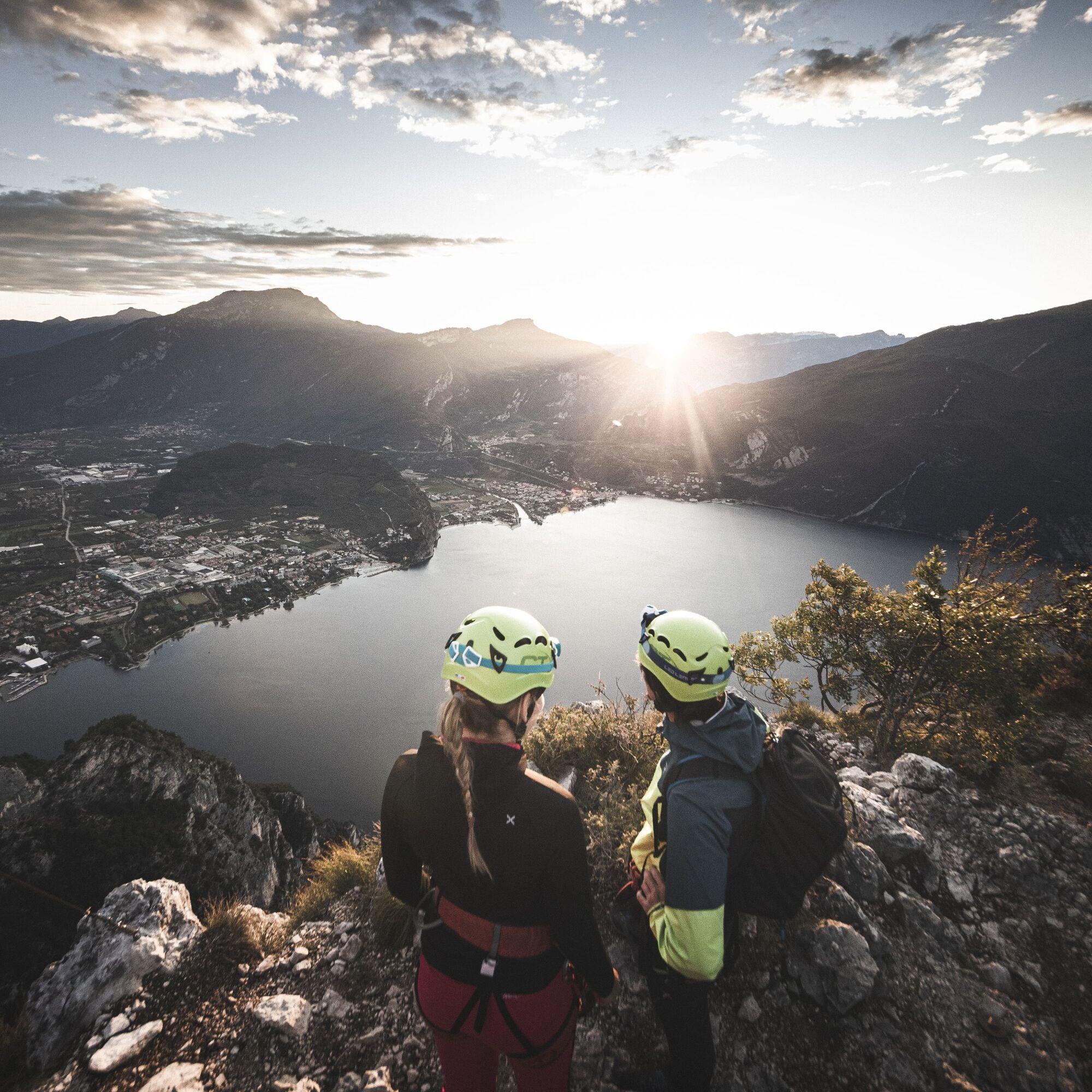
The moderate difficulty and spectacular panorama over the Alto Garda and the adjacent Monte Baldo chain make this one of the most popular routes in GardaTrentino. Starting from Riva del Garda, it coincides with the first section of the Ponale trail, a spectacular prelude to the breathtaking views which accompany you for the entire ascent.


Access
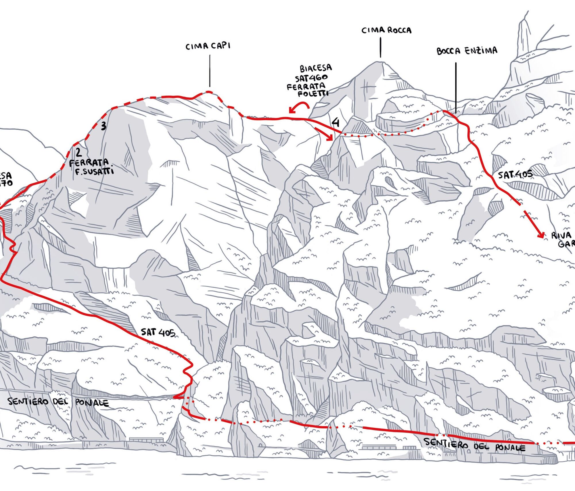
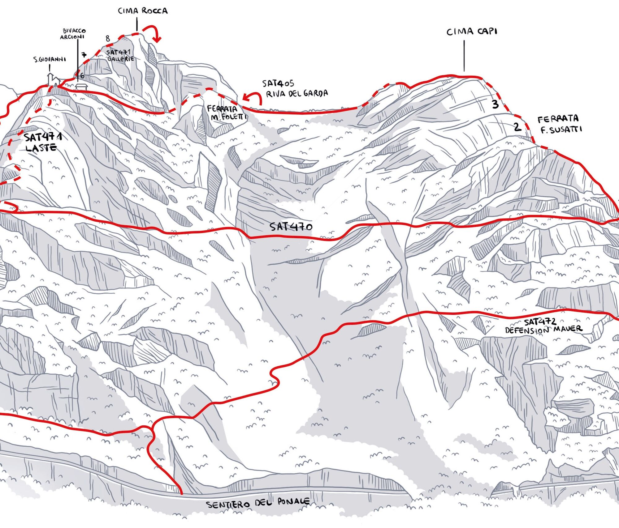
From Riva del Garda: take the Ponale trail and turn to the right tothe path SAT405 Fausto Susatti until you come to the junction with the SAT470 dei Bech (1).
Ascent
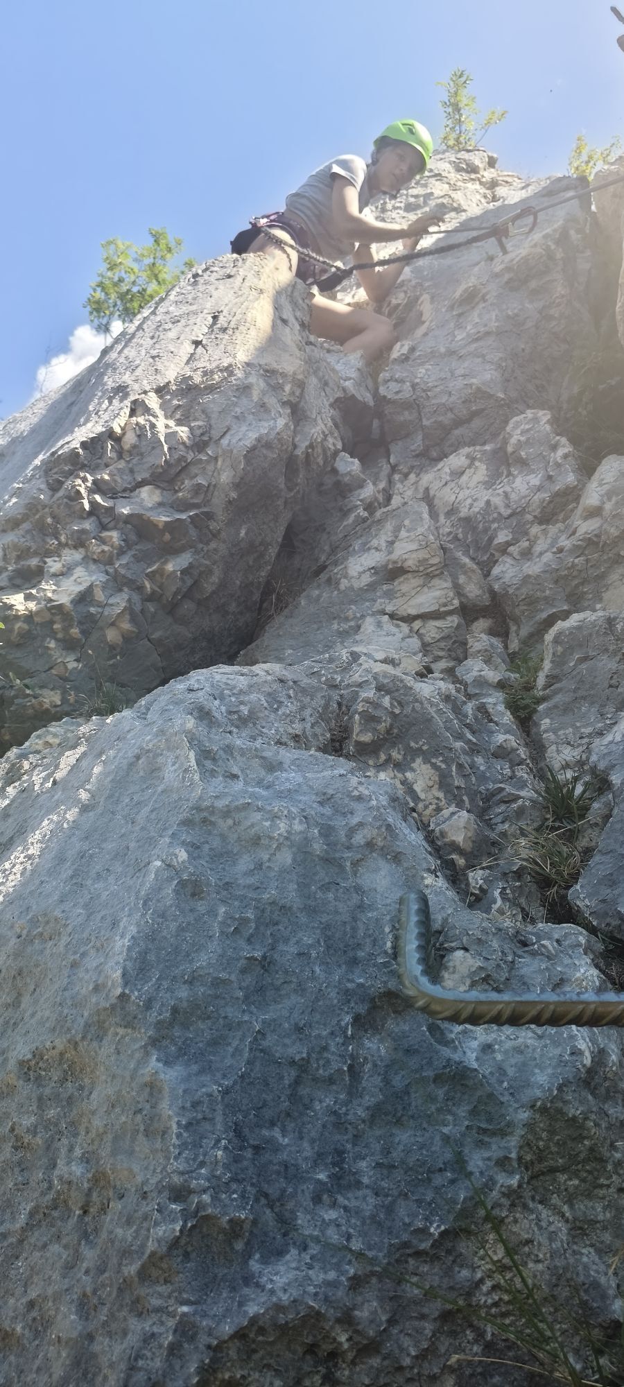
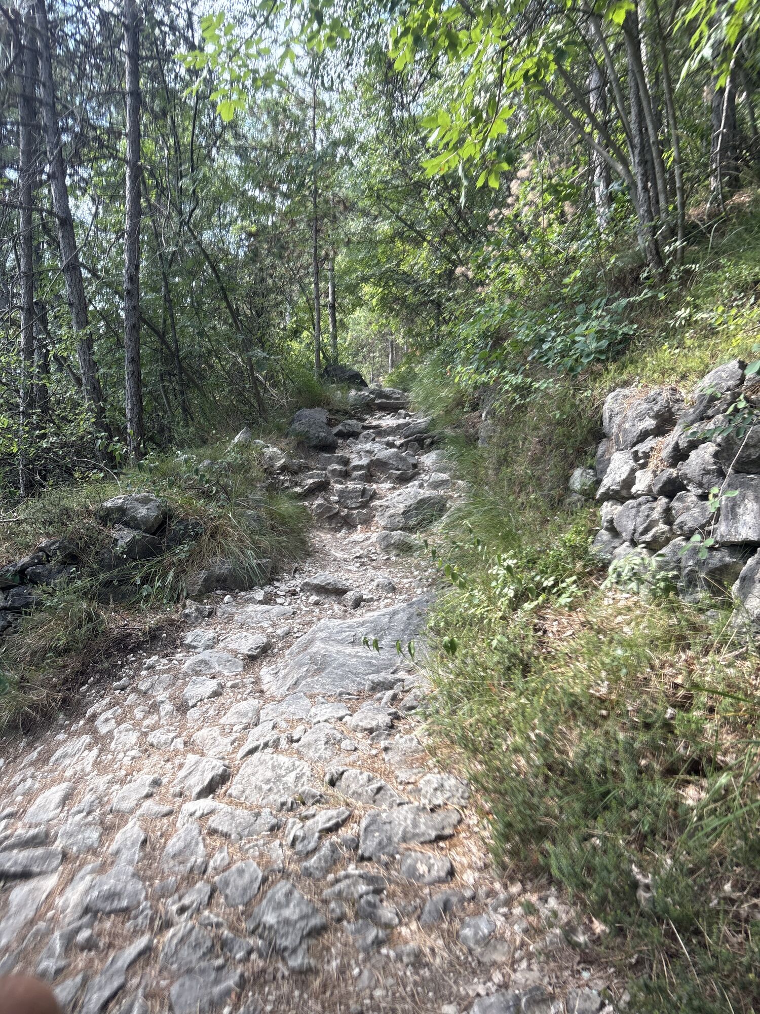
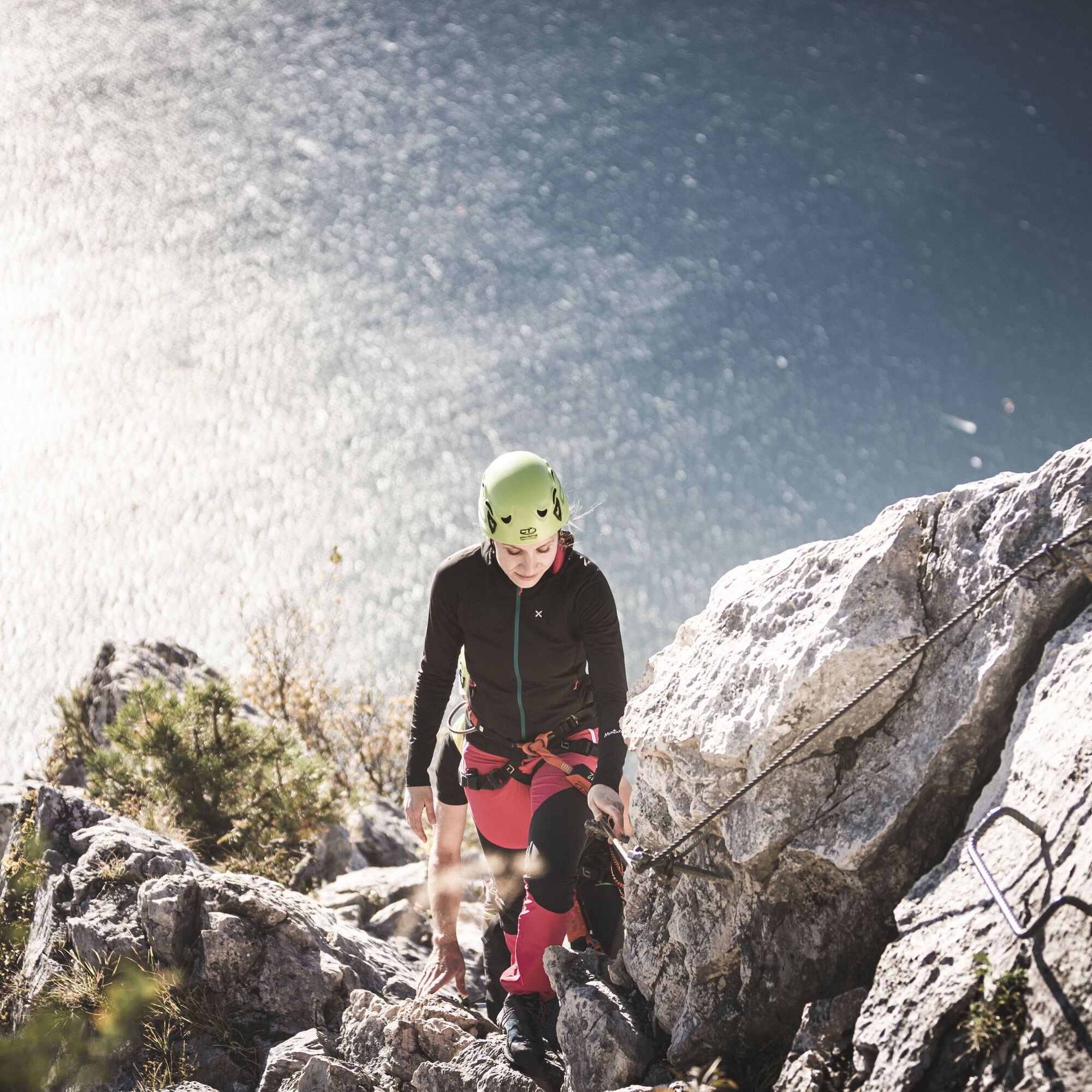
At the junction of the trail SAT405 and SAT470 head up along the ridge,using stirrups and rungs to get over a short section on rock. After a sectionon the trail ascend the limestone outcrop of Cima Capi with some exposed sections (2) until you come to a prominent block of rock (3) where you have a short athletic section. After a cleft, easy rocks take you to the trail which leads to the top.
Return
Head down from the top on the north side, an easy but very exposed stretch, untilyou come to the saddle between Cima Capi and Cima Rocca. From hereyou can head down towards Riva del Garda or Biacesa.
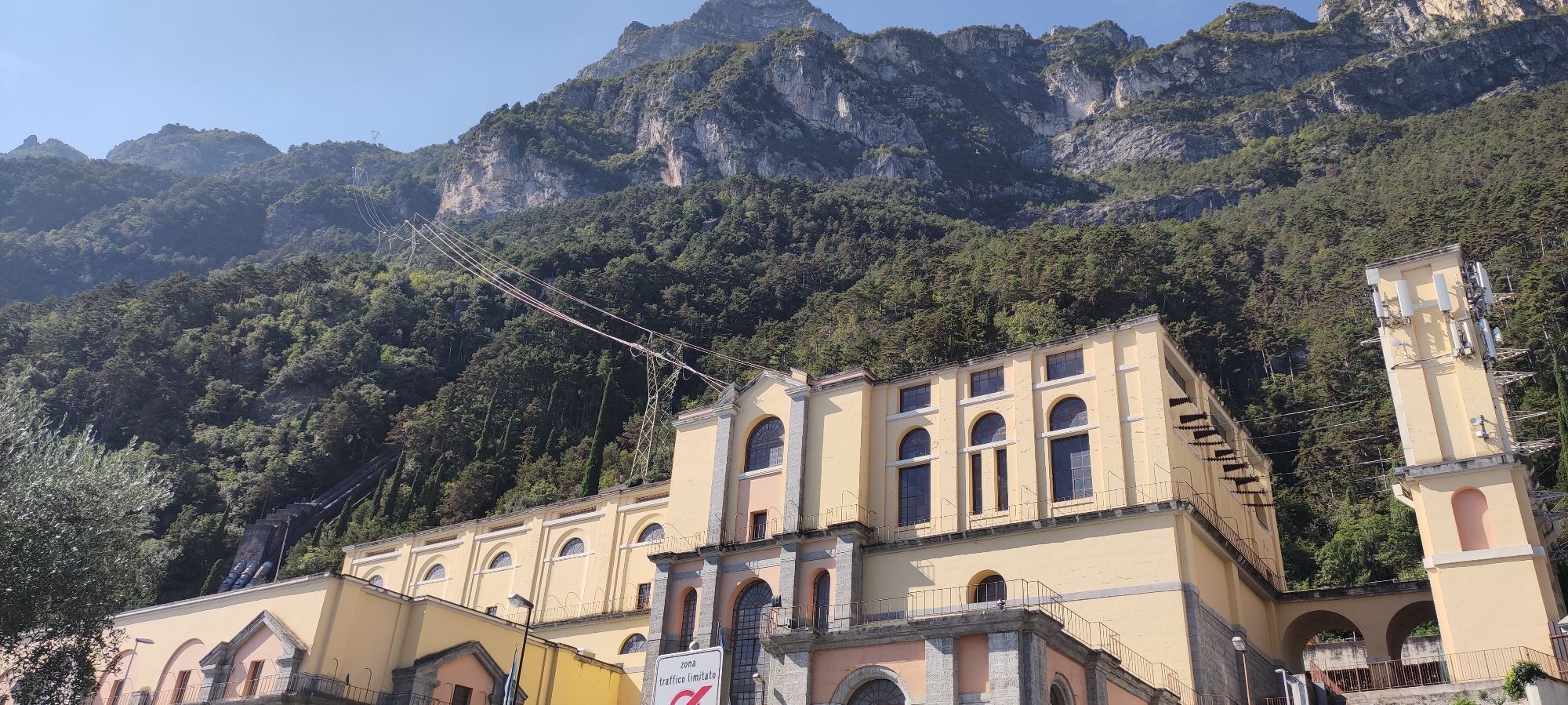
To Riva del Garda: descend on the north side crossing the east faceof Cima Rocca (4) and the valley after it; leave the trail for Bocca Pasumer on your left and come to Bocca Enzima. Head down the side overlooking Riva del Garda until you come to the penstock and the trail leading to Riva del Garda.
You need to wear the right clothing and take the proper gear when you go hiking in the mountains. Even on relatively short easy outings make sure to take all you need so you don't run into trouble if things take an unexpected turn, for example a storm blows up or you have a sudden drop in energy levels.
What should you absolutely have with you on a via ferrata tour?
Your rucksack (for a day trip a 25/30L capacity should do) should contain:
technical mountain clothing hiking boots with Vibram or similar sole via ferrata gear harness helmet gloves pickaxe and crampons (when necessary) a length of rope (recommended)Safety Tips
Choose the route based on your actual psycho-physical preparation, technical ability, and experience. Always assess the conditions of crowding, weather, the state of the fixed equipment, and the route. The final decision and responsibility for the passability of the route lie entirely with the person who decides to undertake it. If you are unsure, seek information or rely on qualified professionals.
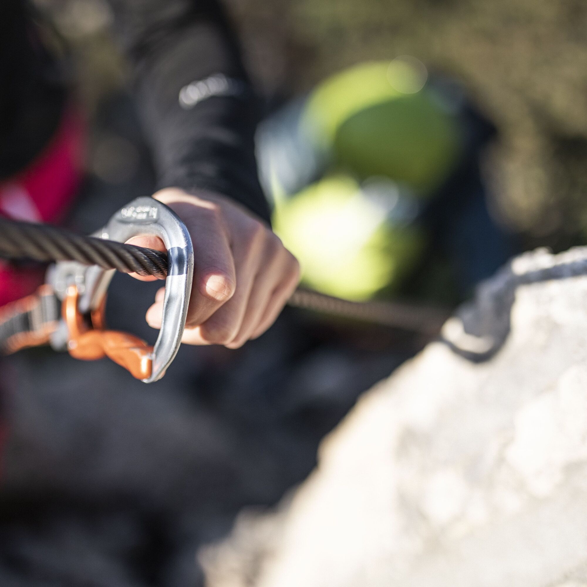
Only do the via ferrata if you are reasonably fit and in excellent health. Use proper safety gear (helmet, harness, ferrata kit with double selflocking carabiners and energy absorbing systems). Put on your helmet once you get near to the wall in case of rock falls. Check the weather report and do not undertake the via ferrata ascent in adverse weather conditions, especially in the event of a thunderstorm threat. The risk of rock falls increases if there are others on the via ferrata or with wind or rain. During progression always keep both carabiners clipped onto the safety cable and when you pass the anchor points make sure at least one carabiner is clipped on to the metal cable. Only one person may be on any length of cable between two anchor points. Always check route conditions; in winter you may find snow and ice, making progress very dangerous. Do not do the via ferrata alone: if you have an accident nobody will be able to call for help.Emergency telephone number 112.
The information on this chart is subject to inevitable variations, so this means that none of the indications are absolute. It is not entirely possible to avoid giving inexact or imprecise information, given how quickly environmental and weather conditions can change. For this reason, we decline any responsibility for changes which the user may encounter. In any case, the hiker is advised to check the conditions of the places, environment and weather before setting out.
A22 motorway, exit: Rovereto Sud - Lake Garda. Then SS240 in the direction of Riva del Garda.
Find out how to reach Garda Trentino.
The main towns in Garda Trentino - Riva del Garda, Arco, Torbole sul Garda, Nago – are connected by several urban and intercity bus lines which will take you to the starting point of tours or in the immediate surroundings.
You can also get to Riva del Garda and Torbole sul Garda by the public ferry service.
Free parking near the former hospital (Via Rosmini).
Paid parking: Terme Romane (Viale Roma), Vecchia stazione (Largo Medaglie d’Oro), Ex-agraria (Via Lutti).
B
From the Via Ferrata Cima Capi you enjoy one of the best views over Lake Garda. Don't forget to take with you your camera.

Webové kamery z prohlídky

Oblíbené prohlídky v okolí
-
5.0
Via Ferrata Signora delle Acque - Rio Ruzza
heavyVia ferrata 5.32 km -
5.0
Bastione and Santa Barbara, the lords of Riva del Garda
středníTuristika 2.94 km -
4.9
Via Ferrata dell’Amicizia - Cima SAT
středníVia ferrata 4.41 km -
4.8
Sentiero Busatte Tempesta
světloTuristika 7.90 km -
4.8
Bocca Fortini - Tour
heavyMountainbike 35.4 km -
4.8
Via Ferrata Rio Sallagoni
středníVia ferrata 2.75 km -
4.8
Via Ferrata Fausto Susatti - Cima Capi (from Ledro)
středníVia ferrata 7.11 km -
4.6
Via Ferrata delle Laste e Gallerie di Cima Rocca
světloVia ferrata 6.38 km -
4.5
Walking around Lake Ledro
světloTuristika 9.40 km -
4.5
Tremalzo Big - Tour
heavyMountainbike 45.6 km

Pěší turistika a stopování


Nenechte si ujít nabídky a inspiraci pro vaši příští dovolenou
Vaše e-mailová adresa byl přidán do poštovního seznamu.





