


Winterwanderung Hochfilzen - St. Ulrich am Pillersee
Start at the village center (opposite the church) and walk along Herrengasse to the hamlet Oberwarming. Go through the underpass, cross the road and follow the winter-walking path on the left side. (next...
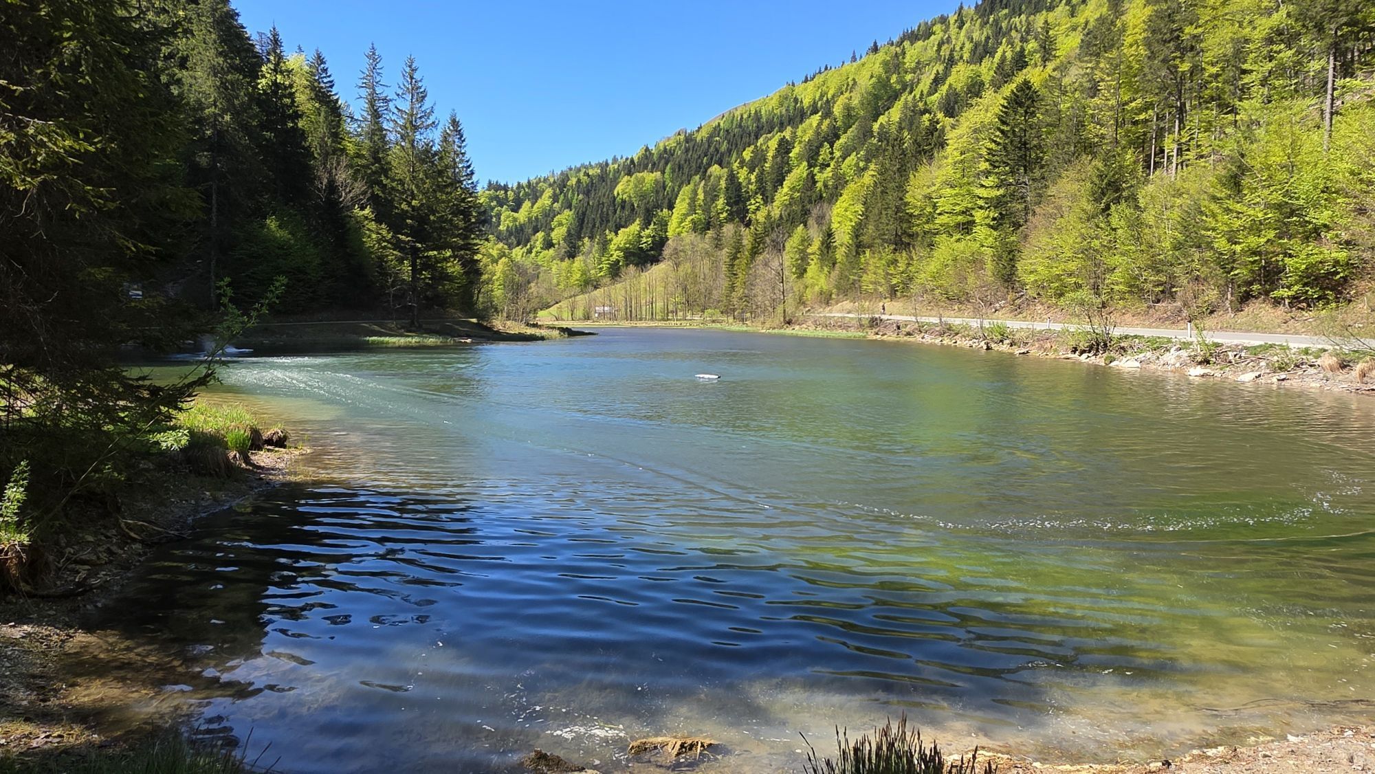
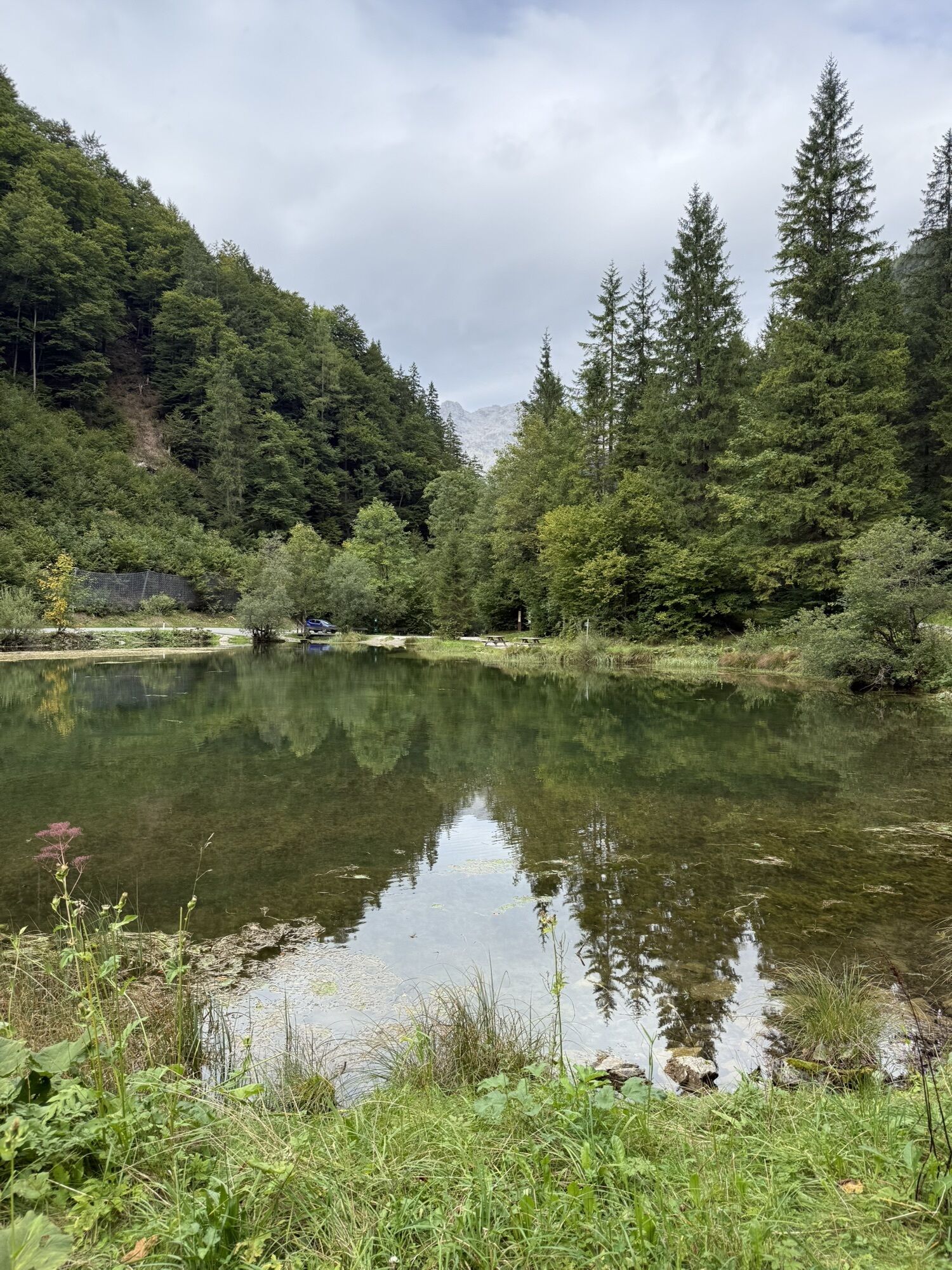
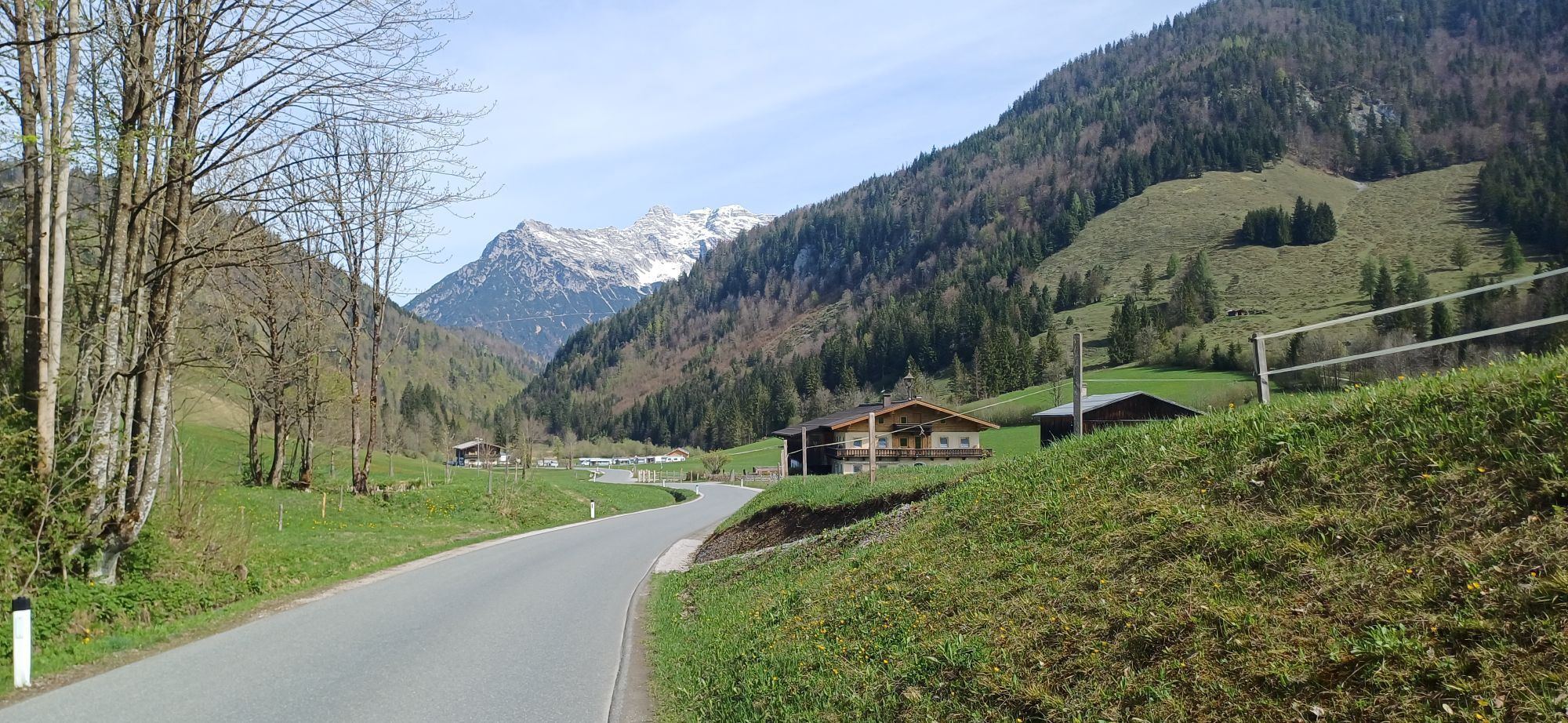
Start at the village center (opposite the church) and walk along Herrengasse to the hamlet Oberwarming. Go through the underpass, cross the road and follow the winter-walking path on the left side. (next to the cross country skiing track) and pass the inn/restaurant Wiesenseehof. Follow the road straight on an reach the pittoresque lake Wiesensee on your right hand side. The winter walking tour leads you through the hamlets of Schwendt and Rossau to the inn / restaurant Strasserwirt or further on to the center of St. Ulrich am Pillersee.
From the hotel Strasserwirt or the center of St. Ulrich a.P. you can take the skibus back to Hochfilzen.


From the hotel Strasserwirt or the center of St. Ulrich a.P. you can take the skibus back to Hochfilzen.
Wiesenseehof or Strasserwirt
Hiking map are available in all tourist office of the PillerseeTal
free skibus to the busstop Hochfilzen Gemeindeamt
Centre of Hochfilzen
Oblíbené prohlídky v okolí
- 4.2
Erpfendorf: Griesbachklamm
středníTuristika 10 km - 4.1
Passauer Hütte
heavyTuristika 4.14 km - 4.7
St. Johann in Tirol: Wasserfall & 3 Seen am Kitzbüheler Horn
středníTuristika 12.7 km - 4.5
Birnbachloch Leogang, Österreich
středníTuristika 5.18 km - 4.8
Loferer Steinberge, zum Hinterhorn über die Schmid-Zabierow Hütte, 19.06.22
heavyTuristika 14.0 km - 4.7
Over the waterfall trail into the Almenwelt Lofer
středníTuristika 3.29 km - 4.6
Lettlkaser
středníTuristika 4.40 km - 4.5
Seisenberg Gorge
světloTuristika 2.41 km - 5.0
Leo’s play hiking trail
světloTematická stezka 4.89 km - 4.0
Berg der Sinne
světloTuristika 4.39 km
Pěší turistika a stopování


Nenechte si ujít nabídky a inspiraci pro vaši příští dovolenou
Vaše e-mailová adresa byl přidán do poštovního seznamu.